8 Best Things to Do in Picos de Europa (2026 Guide)
Plan Picos de Europa: 8 top hikes and viewpoints, which side to base on, how many days you need, access limits and seasonal tips.
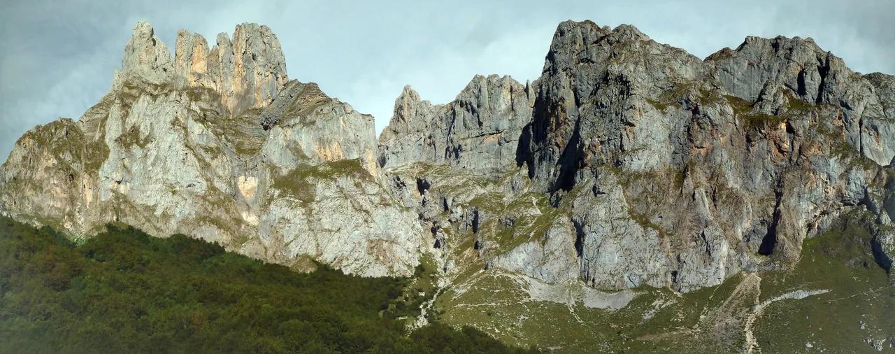
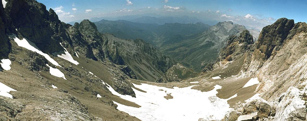
Last updated November 2026. Picos de Europa is a limestone mountain massif spanning Asturias, Cantabria and Castilla y León in northern Spain. Its headline experiences are the Cares Gorge, the Covadonga lakes, the Naranjo de Bulnes viewpoint, Bulnes village and the Fuente Dé cable car. Your first decision is which side to base on, and this guide helps you make it.
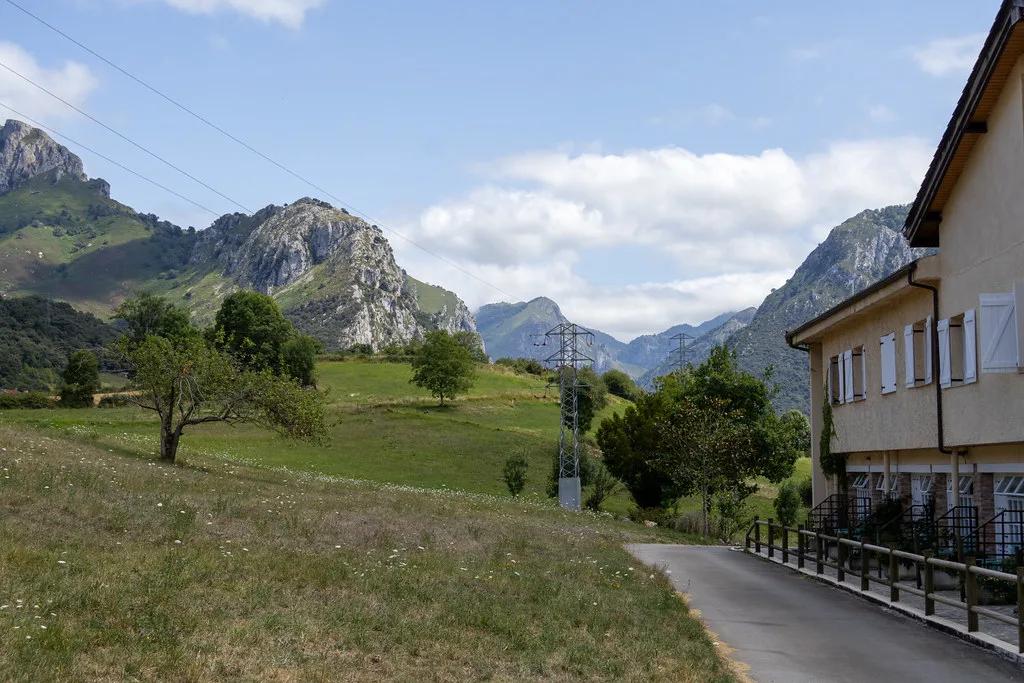
Featured image: sergei.gussev, CC BY 2.0, via Flickr.
Picos de Europa at a Glance
The range splits into three massifs: Western (around Cangas de Onís), Central (the Urrieles, home to Naranjo de Bulnes) and Eastern. Each side has its own access roads, so a base on one side does not put the others within easy reach. For park status and regulations, start with our overview of the park rules and status. A park layout map shows how the valleys connect. Spain's national parks network publishes official park information for visitors.
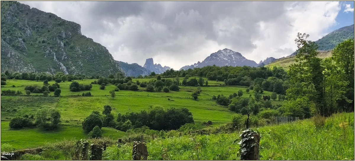
8 Best Things to Do in Picos de Europa
Prices and hours checked November 2026. Operators set fares and opening times by season, so this list points you to official pages instead of quoting figures.
1. Ruta del Cares (Cares Gorge)
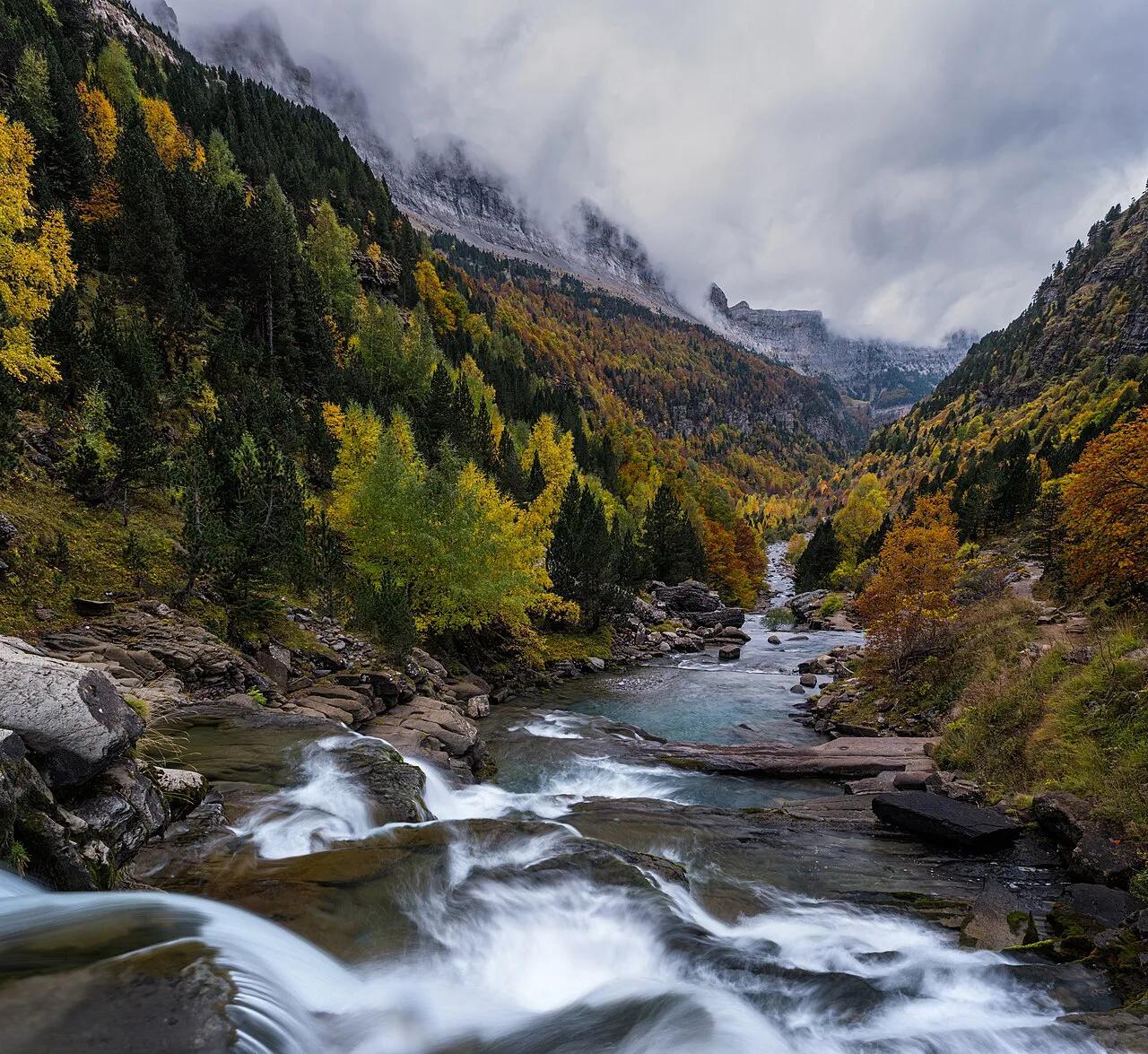
This path is cut into the rock between Caín and Poncebos, following the Cares river between high limestone walls. It is a one-way walk, so decide on your return before setting out: retrace your steps or arrange a taxi transfer. Park early at either trailhead, because spaces fill first on dry weekends.
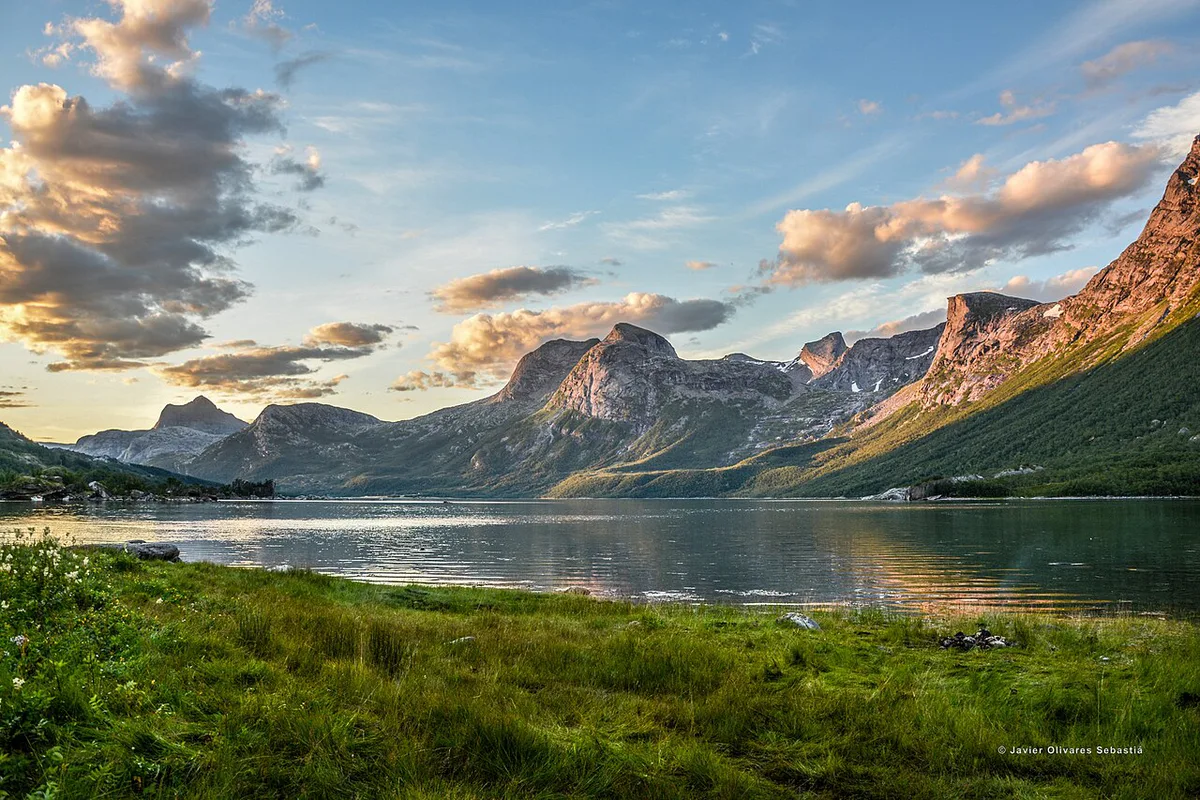
Rockslides have closed sections of the trail in the past, so read the park's current notices before driving up. Skip it if you dislike exposed paths with drops beside you, or if heavy rain is forecast.
2. Glacial lakes above Covadonga
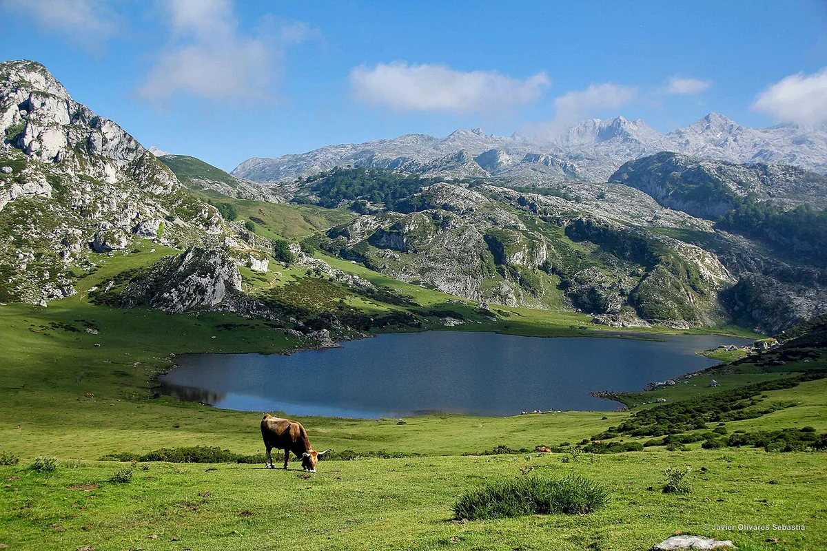
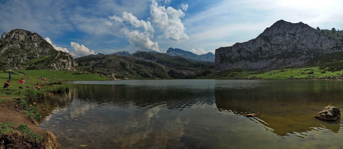
Lagos de Covadonga are two glacial lakes ringed by meadows and gentle slopes, with easy loops around the shore. Mist drifts in and out here, so the view can vanish and return within minutes. The glacial lakes above Covadonga are reached by a mountain road with seasonal traffic restrictions, so check current access before you drive.
Visit the Covadonga shrine on the way up or down. Skip the lakes on fog days, and do not pair them with the Cares on a weather-limited day.
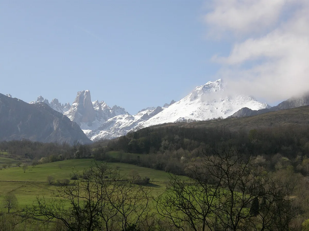
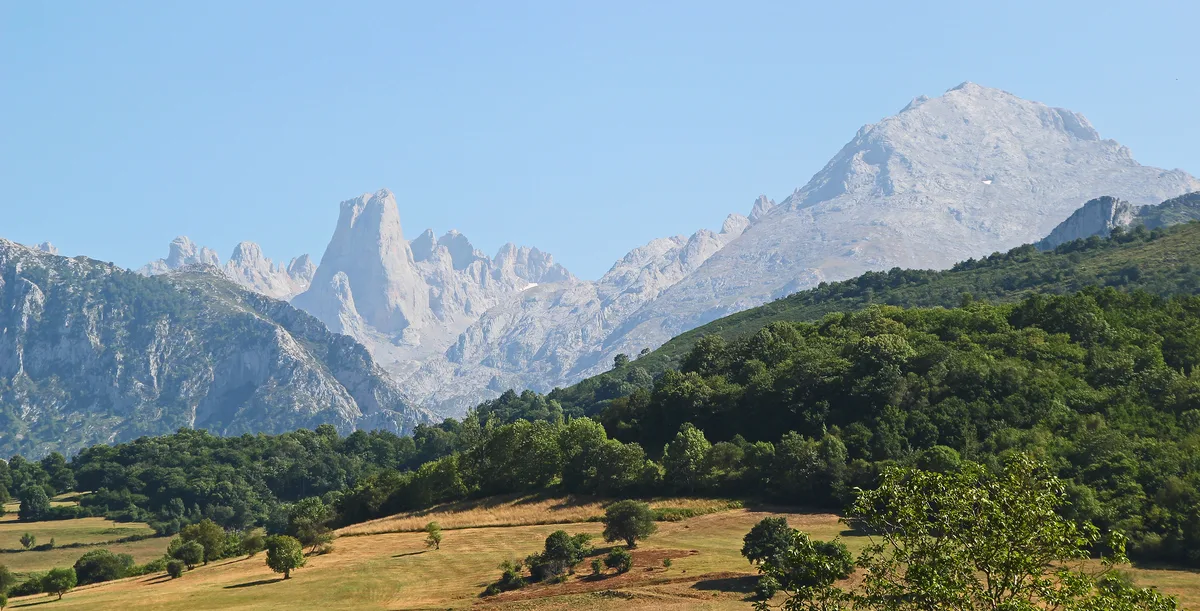
3. Picu Urriellu viewpoint (Naranjo de Bulnes)
Naranjo de Bulnes, known locally as Picu Urriellu, is the best-known peak of the Central massif. The Mirador del Naranjo de Bulnes is the classic photo spot. The Picu Urriellu viewpoint pays off only on clear days, because cloud hides the summit completely.
Check mountain visibility before you commit a morning to it. Skip it if the forecast shows low cloud over the Central massif.
4. Bulnes village and the funicular
Bulnes is a small mountain village that you can reach on foot or by funicular from Poncebos. A popular route climbs the steep Canal de Texu canyon, then rides the funicular back down. The village of Bulnes works well as a half-day outing with a lunch stop.
Hours and fares sit on the Funicular de Bulnes official site. Skip the Canal de Texu climb if steep ascents bother your knees, and take the funicular both ways.
5. Fuente Dé cable car
The cable car lifts you from the valley floor into high-mountain terrain on the Cantabrian side. Queues build in peak season, so ride early in the day. Wind, snow and fog can interrupt service, which makes a clear forecast the deciding factor.
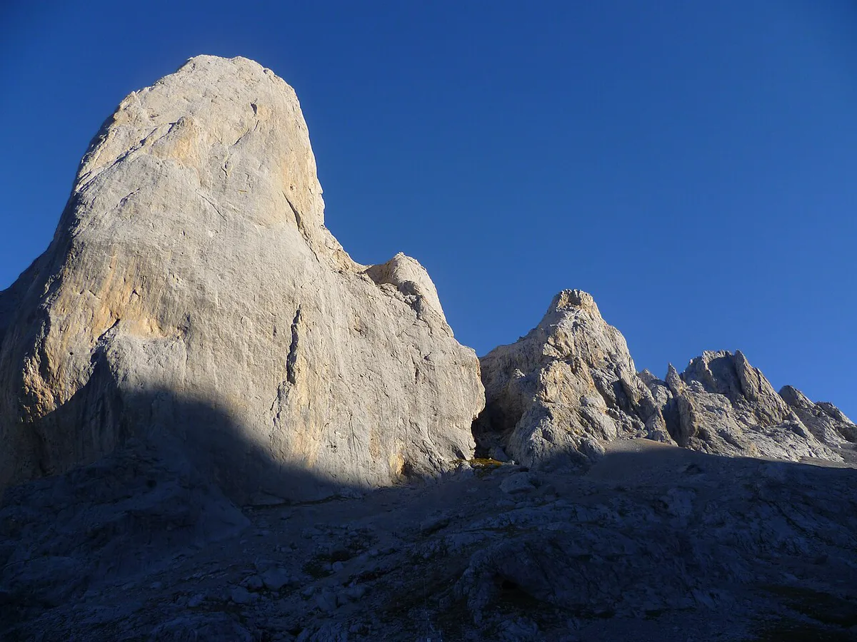
Details of the cable car up from Fuente Dé are in our dedicated guide, and Cantur publishes the operating details. Skip it on windy or cloudy days, when the top station may show you nothing.
6. Potes and the Liébana valley
Potes is the main base town on the Liébana side, set in a broad green valley beneath the high peaks. Santo Toribio de Liébana, a monastery that was once a pilgrimage stop, is nearby. Use Potes and the Liébana valley as your base if Fuente Dé is your priority.
The Ayuntamiento de Potes site carries local information. Skip this side if your plans center on Covadonga or the Cares, because those lie on the Asturian side.
7. Cangas de Onís
Cangas de Onís is the gateway town to the Western massif and sits on the way to Covadonga. It offers the widest choice of lodging and restaurants near the western trailheads. Plan to use Cangas de Onís as a base for the lakes and the shrine.
Local listings are on the Cangas de Onís tourism site. Skip it as a base if the Fuente Dé cable car is your main goal.
8. Cabrales cheese, Gamoneu and cider
Cabrales blue cheese matures in natural caves around Arenas de Cabrales, and small producers sell it directly. Gamoneu is a lightly smoked cheese made in the high pastures. Cider is the regional drink, and it is poured at the table in the Asturian style.
Use cheese stops to fill the gap on days when low cloud rules out the high routes. Skip the cave visits if you cannot drive, because the producers lie along mountain roads.
Which Side to Base Yourself
Pick the side that matches your top two activities, because crossing between valleys eats into daylight.
| Base | Best for | Trade-off |
|---|---|---|
| Cangas de Onís (Asturias) | Covadonga lakes, shrine, most services | Farther from Fuente Dé |
| Potes (Liébana, Cantabria) | Fuente Dé cable car, Santo Toribio | Farther from Cares and Covadonga |
| Poncebos / Arenas de Cabrales | Cares trailhead, Bulnes funicular, cheese | Fewer lodging options |
Northwest Iberia’s other big mountain park is across the border in Portugal: Peneda-Gerês National Park is about a day’s drive southwest and suits a longer trip.
How Many Days You Need
With 1 day, pick one side only: Covadonga lakes from Cangas de Onís, or Fuente Dé from Potes. With 2-3 days, add the Cares or Bulnes on a clear morning, and keep a spare day for weather. With 4+ days, base on both sides and add Picu Urriellu and the cheese stops. The main conflict is weather, so never schedule the Cares and the Covadonga lakes on the same day.
With 2-3 days, the Cares or Bulnes work only on a clear morning, and high routes started late in the day are worth avoiding.
Getting There and Around
A car gives you the most flexibility, since mountain roads link the trailheads and valleys. Buses, taxis and shuttles run on limited, seasonal schedules, so a non-driver should plan one base and a few set outings. Our guide to getting to the park covers routes in detail. Check timetables on the ALSA bus operator site before you travel.
Best Time to Visit and Weather
Snow and fog can close high routes and hide viewpoints, so a blue sky in the valley does not guarantee clear peaks. Summer weekends and holidays bring the heaviest crowds at the Cares trailhead and the lakes road. Read our guide to mountain weather patterns for seasonal detail. AEMET publishes mountain forecasts.
Costs, Tickets and Opening Hours
This page quotes no fares because operators change them by season. Check each official page before booking.
| Item | Where to check | Booking need |
|---|---|---|
| Fuente Dé cable car | Cantur | Check queue and wind closures |
| Bulnes funicular | Funicular de Bulnes site | Check seasonal hours |
| Covadonga lakes road | Park and regional notices | Check traffic restrictions |
Where to Stay
Towns such as Cangas de Onís and Potes offer more choice, while villages near Poncebos and Arenas de Cabrales put you closer to trailheads. Book early for summer and holiday weekends. Our guide to campsites near the park covers the budget option.
Safety and Mistakes to Avoid
Most problems here come from timing and weather, not from technical terrain.
- Common mistakes
- Arriving late for Cares parking, when spaces are gone.
- Planning a through-hike without a return plan.
- Trusting a clear valley forecast for the peaks.
- Starting high routes late in the day.
- Ignoring rockslide closures on the Cares trail.
- Joining cable car queues at midday in peak season.
Frequently Asked Questions
Where are the Picos de Europa?
They lie in northern Spain, across Asturias, Cantabria and Castilla y León. Cangas de Onís is the main gateway on the Asturian side, and Potes serves the Cantabrian side.
What are the most beautiful villages in the Picos de Europa?
Bulnes, reached by funicular or on foot, is the most distinctive mountain village. Potes is the main village base in Liébana, and Caín and Poncebos sit at the two ends of the Cares trail.
Explore More Guides
Keep planning your trip with these guides.
Guides
- Picos de Europa National Park Guide
- Potes, Spain
- Cangas de Onís Guide
- Lakes of Covadonga: Access, Hikes & Time Needed
- Bulnes, Picos de Europa
- Naranjo de Bulnes (Picu Urriellu)
- Fuente Dé Cable Car
- Picos de Europa Map: Massifs, Gateways & Trailheads
- Picos de Europa Weather: Best Time to Go & What to Expect by Season
- Picos de Europa Camping: Best Bases, Rules and Logistics
- How to Get to Picos de Europa: Routes, Gateways & Access Rules
Notes for your next park visit
Optional updates to our national park guides.
Read next
Keep planning
Picked from the same area