Picos de Europa Map: Massifs, Gateways & Trailheads
Understand the Picos de Europa map: three massifs, gateway towns, trailheads and which map type to use for planning and hiking.
Last updated November 2026. A picos de europa map shows three limestone massifs, three regions and a ring of gateway towns, and no single road crosses the middle. Use an online map to plan, then carry a printed or offline map for the trail. This guide explains which town serves which massif, so you can pick a base before you book.
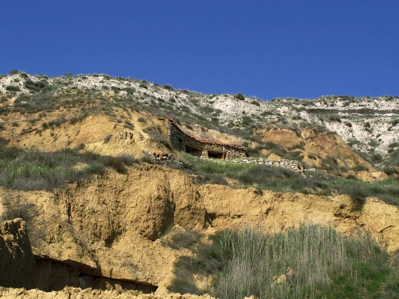
Featured image: jacilluch, CC BY-SA 2.0, via Flickr.
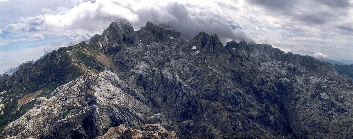
Picos de Europa Map at a Glance
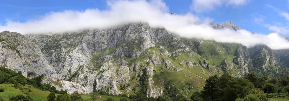
The park sits across Asturias, Cantabria and Castilla y León (León province). Spain's national parks network page describes its boundaries and history. Its oldest core, the Covadonga mountain park, was declared in 1918 and covers the Western Massif. Our overview of the 8 Best Things to Do in Picos de Europa (2026 Guide) covers the wider region. For rules and zoning, see the guide to the national park. Three massifs make up the map: Western (Cornión), Central (Urrieles) and Eastern (Ándara). Four gateway towns anchor most trips: Cangas de Onís, Arenas de Cabrales, Posada de Valdeón and Potes.
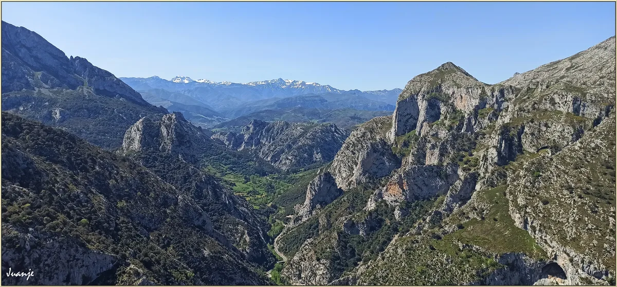
The Three Massifs and Their Gateway Towns
Each massif has its own approach road and its own base town. Pick the massif that matches your outing, then choose the town that sits closest to its trailhead. Mountain roads are narrow and winding, so a short distance on the map can take longer than it looks.
| Massif | Nearest base | Signature outing | Access note |
|---|---|---|---|
| Western (Cornión) | Cangas de Onís | Lakes of Covadonga | Asturian side; the lakes road has seasonal traffic control |
| Central (Urrieles) | Arenas de Cabrales or Posada de Valdeón | Bulnes, Naranjo de Bulnes, Cares Route | Asturias and León sides; Caín is the León end of the Cares gorge |
| Eastern (Ándara) | Potes | Fuente Dé cable car area | Cantabrian side; Potes is the base for the cable car |
Which Map Should You Use?
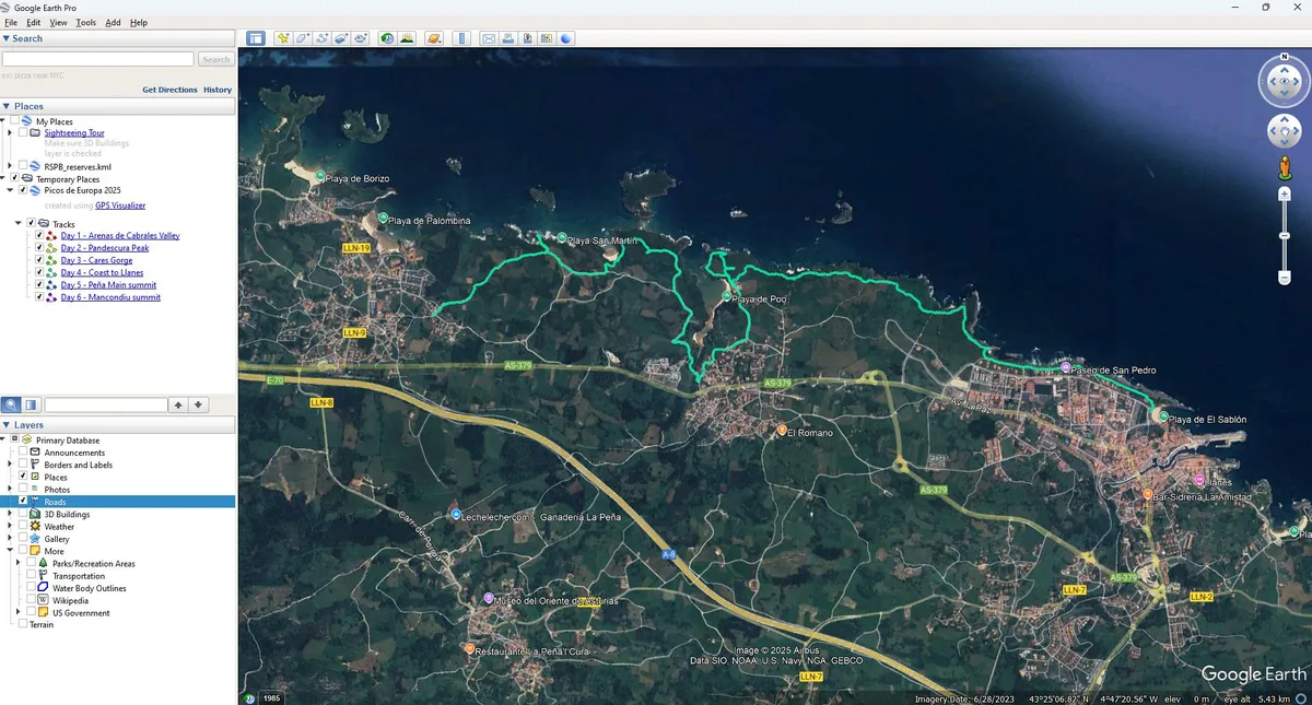
Match the map to the job. An online map suits route planning at home. It works poorly offline, and signal drops in the gorges. A printed hiking map or a guide booklet is the safer choice on the trail. Check the publisher and edition before you buy, because mountain paths get re-marked. Adrados and the national mapping agency IGN/CNIG both publish maps of the area. Park visitor centres may also hand out a leaflet, so ask when you arrive. GPX files and offline apps are good backups. Download the area while you have Wi-Fi in town.
- Online map: best for planning the drive and choosing a base.
- Printed hiking map: best for any trail above the villages.
- Offline app with GPX: a useful backup, not a replacement for paper.
- Park leaflet: good for orientation, with less detail than a hiking map.
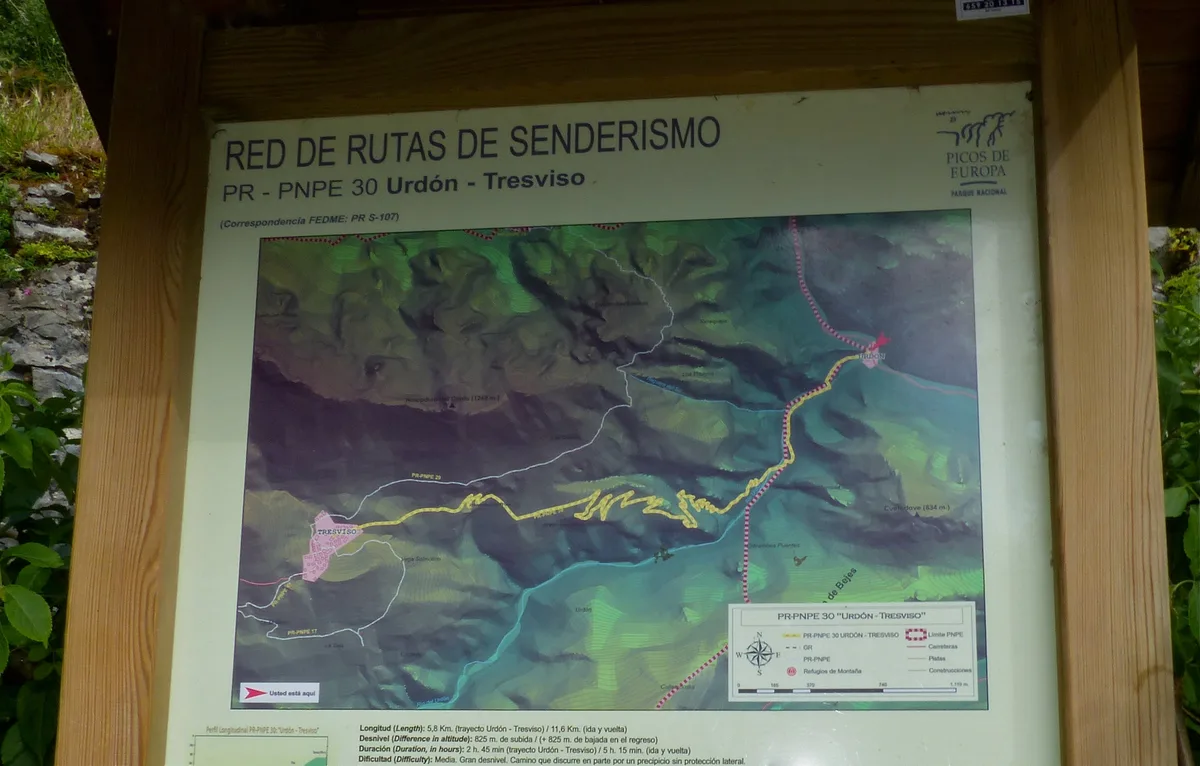
Key Trailheads and Viewpoints on the Map
Four starting points cover most first visits. In the west, the Lakes of Covadonga: Access, Hikes & Time Needed are reached by a road above the sanctuary. Check the traffic rules there before you drive up. In the east, the Fuente Dé cable car lifts you onto the high plateau. It runs on its own schedule, so look at the operator's site before you plan a day around it. In the centre, the village of Bulnes is a car-free stop. You can see Naranjo de Bulnes (Picu Urriellu): Views, Hikes & Climbs from the approaches on that side. The Cares Route links Caín on the León side with the Asturian end of the gorge.
Getting Around the Park: Roads, Shuttles and Timing
Roads between the gateway towns are slow, so treat each massif as its own day. Do not try to cross the park in a single afternoon. Parking at popular trailheads fills early in busy months. Start before the first tour buses arrive. Our guide on getting to Picos de Europa covers the approach by road and public transport. ALSA runs the regional bus network, but services to the villages are limited. Check current timetables if you plan to go without a car.
Where to Base Yourself
Cangas de Onís suits a first visit. It has the widest choice of rooms and sits on the way to Covadonga. Read our guide to Cangas de Onís for details. Potes is the Cantabrian base for Fuente Dé. See the page on Potes for what the town offers. Posada de Valdeón is the quiet choice for the León side and the Caín end of the Cares Route. Costs run lowest in the smaller villages, and highest in the busiest towns in summer. If you prefer to sleep outdoors, read about camping in the park before you pitch anywhere.

Navigation Safety and What to Carry
Fog can close in fast. Limestone karst makes route-finding hard because many paths look alike on a rocky slope. Mobile signal is unreliable in the valleys and gorges. Read the Picos de Europa weather guide before you set out. For forecasts, use AEMET, Spain's state meteorological agency. Turn back early if cloud drops below the ridge.
- Printed hiking map of the massif you are walking.
- Compass, and the skill to use it.
- Phone with the offline map and GPX downloaded.
- Power bank and spare battery for the phone.
- Extra layer, rain jacket and water for the full day.
- Tell someone your route and your planned return time.
Choose the Right Outing on the Map
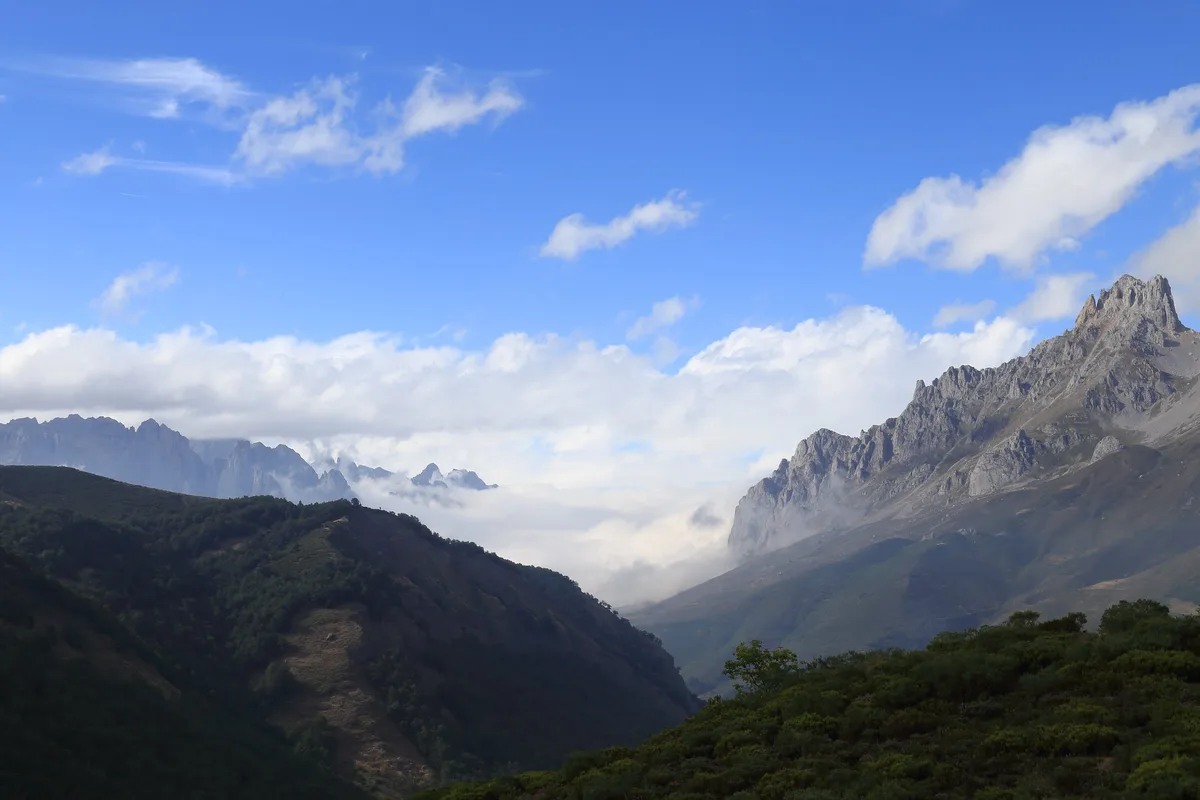
Use the map to choose one area for the day, rather than treating the park as a single drive-through destination. The park has three massifs, and the article’s four main starting points sit on different approaches. Mountain roads make switching sides slower than the map suggests.
- Lakes of Covadonga: choose this Western Massif option for road-accessible scenery. Check seasonal traffic controls before setting out.
- Fuente Dé: choose the eastern side if the cable car fits your plans. Its operating schedule can shape the whole day.
- Bulnes: choose this central approach for a car-free village and views towards Naranjo de Bulnes.
- Cares Route: choose Caín or the Asturian gorge entrance for a long linear walk. Plan transport before starting, since the route links two ends.
Skip an ambitious cross-park itinerary if you have only one day. Base yourself near the trailhead that matters most, then keep a second outing near your chosen gateway as a weather backup.
Frequently Asked Questions
Where are the Picos de Europa?
They lie in northern Spain, across Asturias, Cantabria and Castilla y León. The park holds three massifs. Cangas de Onís, Potes and Posada de Valdeón are common gateway towns.
How to travel to Picos de Europa?
Most visitors arrive by car, because mountain roads link the gateway towns. Regional buses reach the main towns but run less often to the villages. Our guide to getting there explains the options in more detail.
Notes for your next park visit
Optional updates to our national park guides.
Read next
Keep planning
Picked from the same area