Picos de Europa National Park Guide: Where to Go and How Long to Stay
Plan Picos de Europa National Park: which massif to choose, how to get there, costs to check, best season, and mistakes to avoid.
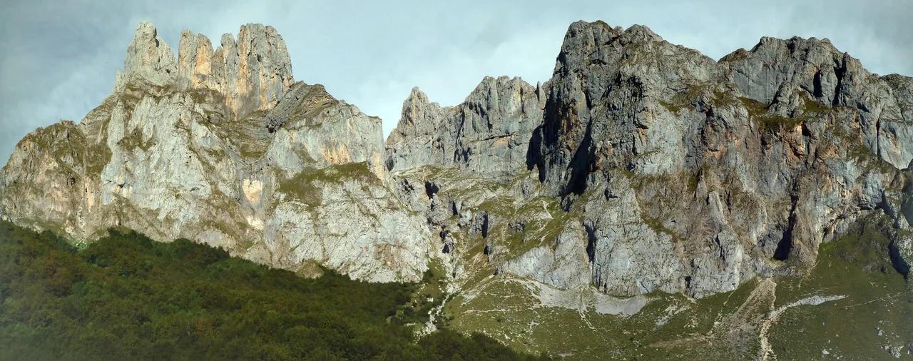
Last updated November 2026. Picos de Europa National Park sits across Asturias, Cantabria and Castilla y León, and it splits into three massifs: Western (Covadonga), Central (Fuente Dé and the Cares side) and Eastern (Ándara). Your trip depends on which massif you pick, and a car is the practical way to cover more than one. Start with the broader Picos de Europa hub, then use this overview to choose a base and a route.
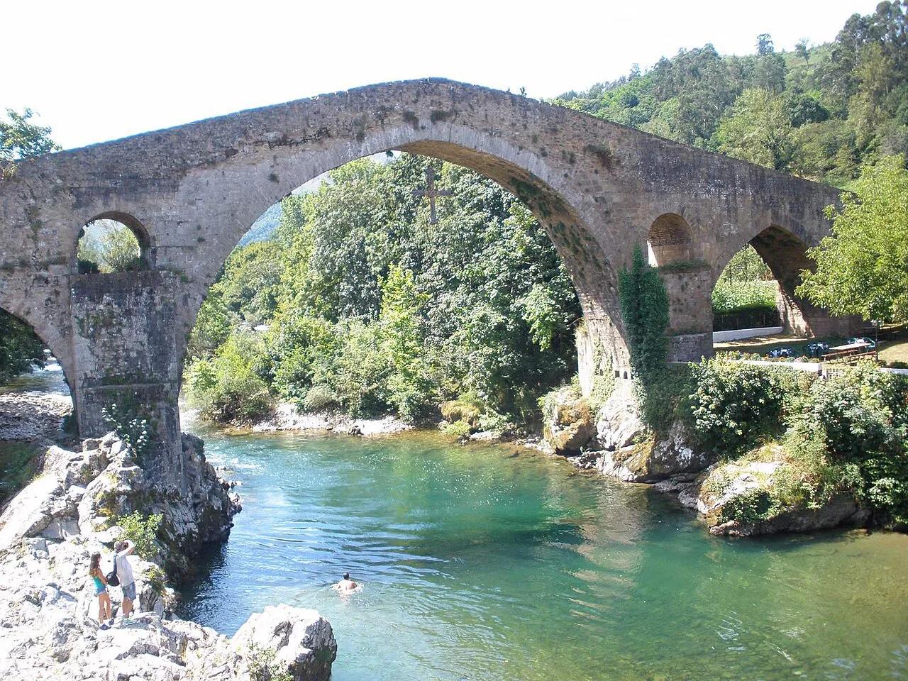
Featured image: sergei.gussev, CC BY 2.0, via Flickr.
Picos de Europa National Park at a glance
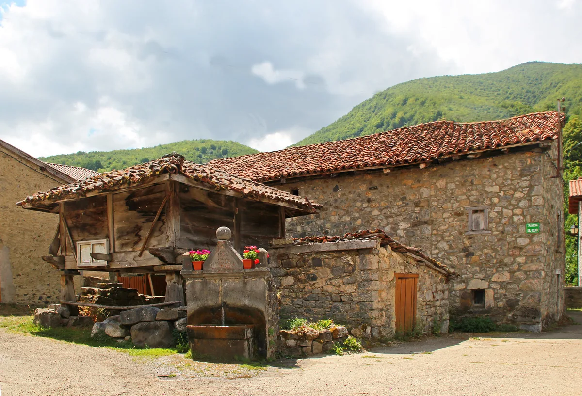
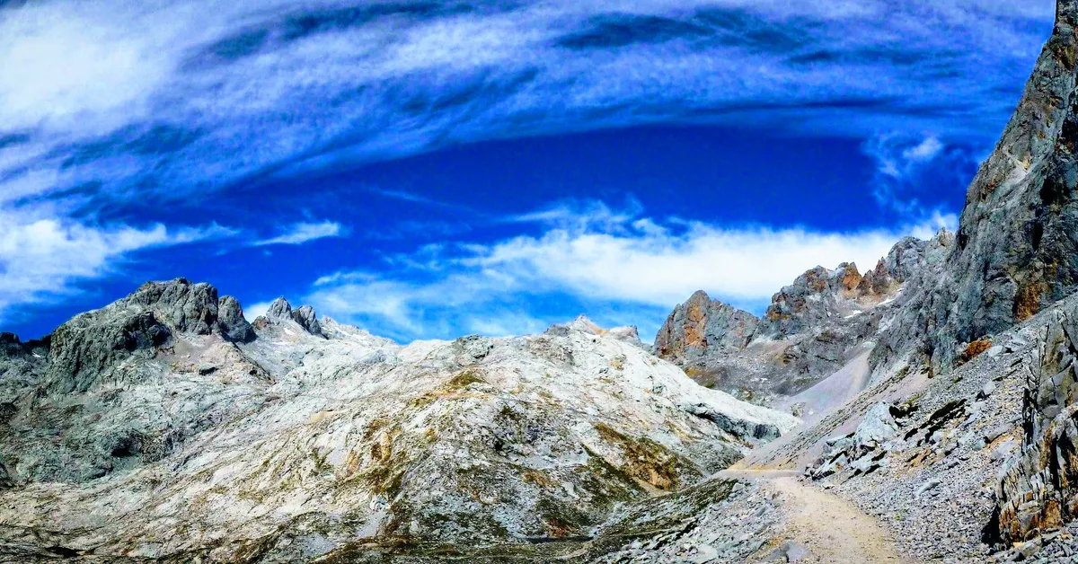
The park began in 1918 as the Montaña de Covadonga park and was enlarged in 1995. Today it carries the official name Parque Nacional de los Picos de Europa. Spain's national parks network manages it as part of the national system. Limestone peaks, deep gorges and high pastures define the landscape. Torre de Cerredo is the highest summit at 2,648 m, and the park covers about 671 km².
- Regions: Asturias, Cantabria and Castilla y León (León province).
- Massifs: Western (Cornión), Central (Urrieles) and Eastern (Ubiñas-Andara).
- Highest peak: Torre de Cerredo, 2,648 m.
- Area: about 671 km².
- Best-known icon: Naranjo de Bulnes, also called Picu Urriellu.
Which part of the park to visit
Each side has its own access points, and no single road crosses the whole park quickly. Moving between sides means long detours on mountain roads, so pick one or two bases. Use the Picos de Europa Map: Massifs, Gateways & Trailheads to see how the valleys connect.
| Base | Gateway town | Headline sights | Best for | Main constraint |
|---|---|---|---|---|
| West (Asturias) | Cangas de Onís | Lakes of Covadonga: Access, Hikes & Time Needed, Covadonga basilica | First visits, easy walks | Seasonal access rules at the lakes |
| Central, Cantabria | Potes | Fuente Dé cable car, Liébana food | High views, food, car-free arrival by bus to Potes | Cable car queues in summer |
| Central, Asturias | Arenas de Cabrales / Poncebos | Cares route, Bulnes, Naranjo de Bulnes (Picu Urriellu): Views, Hikes & Climbs | Gorge walking, Cabrales cheese | Long, exposed Cares path |
| León side | Posada de Valdeón | Caín, Cares route start | Quieter valley, Cares from the south | Remote, long drives in |
| East | Sotres | Ándara massif, Peña Main area | Quiet high-mountain walking | Few services, experienced hikers |
How to plan your time
One day means choosing one massif, because a whole-park day tour is mostly driving. Two to three days lets you combine two sides, such as Covadonga with the Cares area. Four or more days suit a base in Potes plus a base on the Asturian side, with a high-mountain hike in between.
| Time | Realistic plan | Skip |
|---|---|---|
| 1 day | One massif: Covadonga lakes, or Fuente Dé with Potes | Crossing between sides |
| 2–3 days | Covadonga plus Cares or Bulnes; or Potes plus Fuente Dé | High summit routes without experience |
| 4+ days | Two bases, one long hike, one food day in Liébana | Rushing the transfers between valleys |
Getting to Picos de Europa National Park and getting around
Oviedo is roughly 135 to 148 km from the park, depending on your destination, with road times of about 2 to 3 hours. Santander to Potes takes around 2 to 2.5 hours by car, and Fuente Dé lies about 20 km beyond Potes. León is roughly 256 km away, about 3 hours 40 minutes via Riaño and Posada de Valdeón. Check each leg in a route planner before you set out. Our full guide to getting there covers each route in detail.
Oviedo is roughly 135 to 148 km from the park, and buses there reach towns rather than the lakes or Fuente Dé, so plan a car or local link.
| From | Mode | Rough time | Caveat |
|---|---|---|---|
| Oviedo | Car | 2–3 h | Varies by destination |
| Oviedo | ALSA bus | Longer than driving | Buses reach towns, not the high sites |
| Santander | Car to Potes | 2–2.5 h | Fuente Dé is about 20 km further |
| Santander | ALSA bus to Potes | Longer than driving | Needs a taxi or local link beyond Potes |
| León | Car via Riaño | About 3 h 40 min | Mountain roads; check pass status |
- Car: the most flexible choice for two or more sides.
- Guided day tour: suits a single-day visit from Oviedo or Santander. Check current operator pages for price and language.
- Bus: workable for towns such as Cangas de Onís and Potes via ALSA timetables. Lakes of Covadonga and Fuente Dé are hard without a car or a local link.
Costs, tickets and opening hours
Park entry is believed to be free. Prices and hours were checked in November 2026 only for what the sources publish, and none of the paid items below had a firm figure. Paid items to budget for are the Fuente Dé cable car, the Bulnes funicular, parking and shuttles near the lakes, refugio beds and guided tours. Current fares sit on Cantur's cable car page and the Bulnes funicular site. Refugios need advance booking in summer, and lift maintenance closures can shift your plan.
Best time to visit
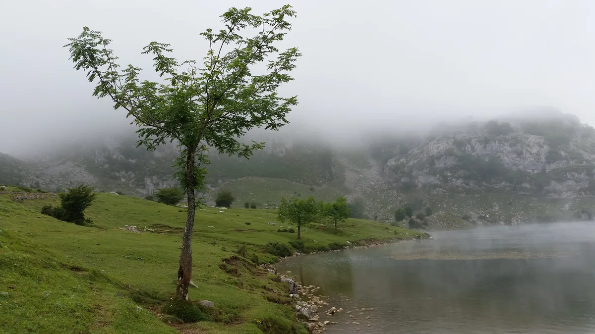
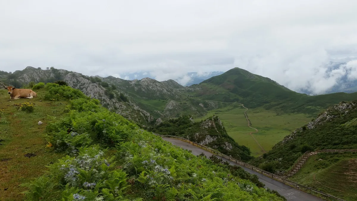
July to September is high season, with warmer weather, open trails and heavy crowds at car parks and hotels. May, June, October and early November are shoulder months with fewer people but more cloud and snow risk. Wildflowers peak from late spring through summer on the meadows near the lakes and Áliva. Read the Picos de Europa weather guide for detail, and check the mountain forecast at AEMET before any high route.
| Season | Crowds | Trails | Watch for |
|---|---|---|---|
| May–June | Moderate | Mostly open, some snow high up | Cloud, late snow |
| July–September | Highest | Best access | Parking, queues, booked refugios |
| October–early November | Low | Variable | Short days, closures |
| Winter | Low | Snow on high routes | Road and lift status |
Best things to do
Keep each stop short and link out to the detailed spokes. Allow a half day for Covadonga and a full day for the Cares route.
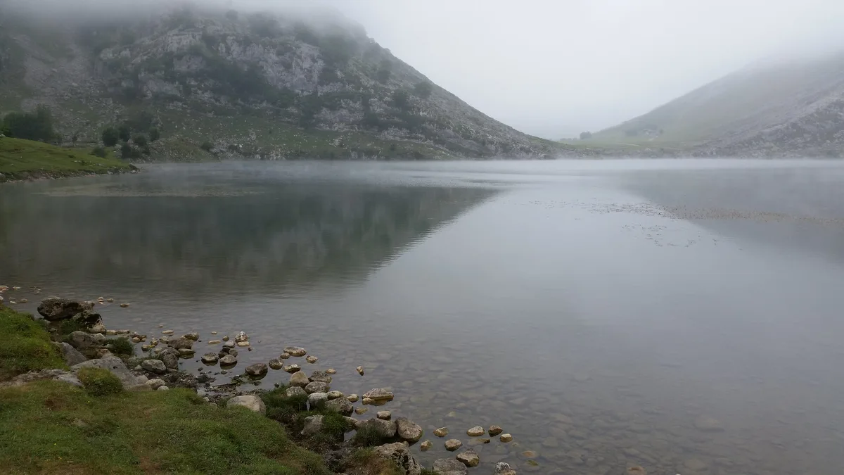
- Lakes of Covadonga and the basilica: easy walking, half day. Skip if access rules or weather block your date. See Lakes of Covadonga: Access, Hikes & Time Needed.
- Cares route: about 12 km one way between Caín and Poncebos, long and exposed in places. Skip if you dislike tunnels and drops.
- Fuente Dé cable car: climbs to over 1,800 m, with walks from the top. Skip on a cloudy day or if queues are long. See Fuente Dé cable car.
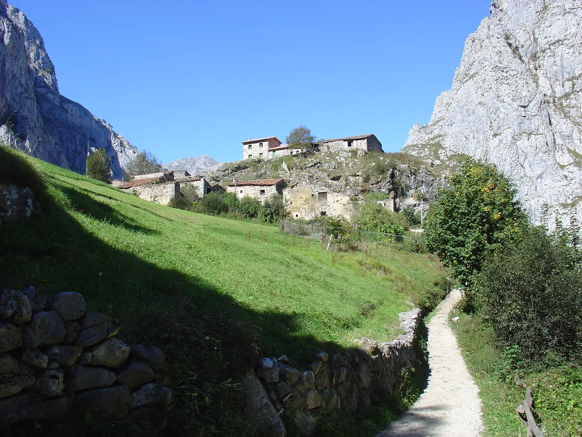
- Bulnes: a village reached on foot or by funicular. Skip if you have not planned the return. See Bulnes.
- Naranjo de Bulnes: a view of Picu Urriellu, with harder routes for experienced hikers. See Naranjo de Bulnes (Picu Urriellu): Views, Hikes & Climbs.
- Liébana food: cocido lebaniego, orujo and Cabrales cheese around Potes. Skip if you eat only light meals.
Where to stay
Cangas de Onís suits Covadonga and first visits. Arenas de Cabrales and Poncebos fit the Cares route and Bulnes. Potes works for Fuente Dé and Liébana cooking. Posada de Valdeón is the quiet pick on the León side. Mountain refugios serve multi-day hikers and need booking in summer. For tents and vans, see Picos de Europa Camping: Best Bases, Rules and Logistics.
Safety, rules and mistakes to avoid
Weather changes fast, so carry layers even in summer. Water is scarce on high routes, and mobile coverage can drop in gorges and on summits. Livestock graze across the landscape, so give animals room. Expect tunnels and exposure on the Cares route. Rules on drones, wild camping and fires are set by the park authority, so read them on the official park page.
- Trying to see the whole park in one day.
- Assuming buses reach the lakes or Fuente Dé.
- Skipping refugio bookings in July and August.
- Starting a high route without checking the forecast.
Frequently Asked Questions
Where are the Picos de Europa?
They lie in northern Spain, spread across Asturias, Cantabria and León. Gateway towns include Cangas de Onís, Potes and Posada de Valdeón.
Does Spain have national parks?
Yes, Spain runs a national parks network, and Picos de Europa is one of its parks. The network's official site lists the others.
What is the most beautiful hike in Picos de Europa?
The Cares route is the best known, at about 12 km one way between Caín and Poncebos. Choose Vega de Ario or the Covadonga lakes if you want something quieter or shorter.
Notes for your next park visit
Optional updates to our national park guides.
Read next
Keep planning
Picked from the same area