
Naranjo de Bulnes (Picu Urriellu): Views, Hikes & Climbs
How to see Naranjo de Bulnes, choose between viewpoints and the refuge hike, plus climbing basics, approach routes and weather risks.
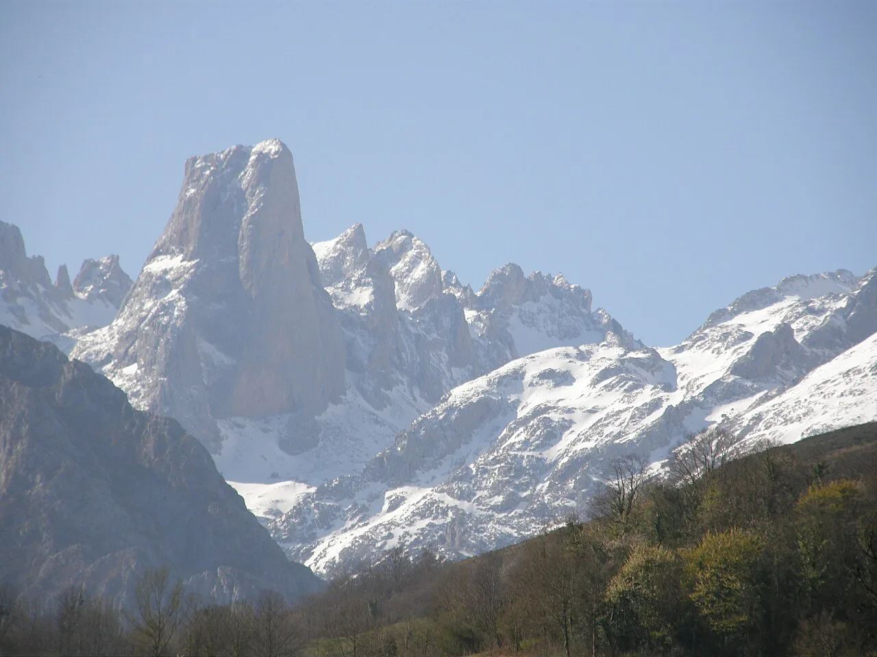
Last updated November 2026: Naranjo de Bulnes, also called Picu Urriellu, is a 2,519 m limestone peak in the Picos de Europa, in the Cabrales municipality of Asturias. Photographing it from a car park, walking to its base and climbing it are three very different days. Pick your level below, then use the Picos de Europa overview to plan the wider trip.
Featured image: Larra Jungle Princess, CC BY 2.0, via Wikimedia Commons.
What Naranjo de Bulnes is and why it has two names
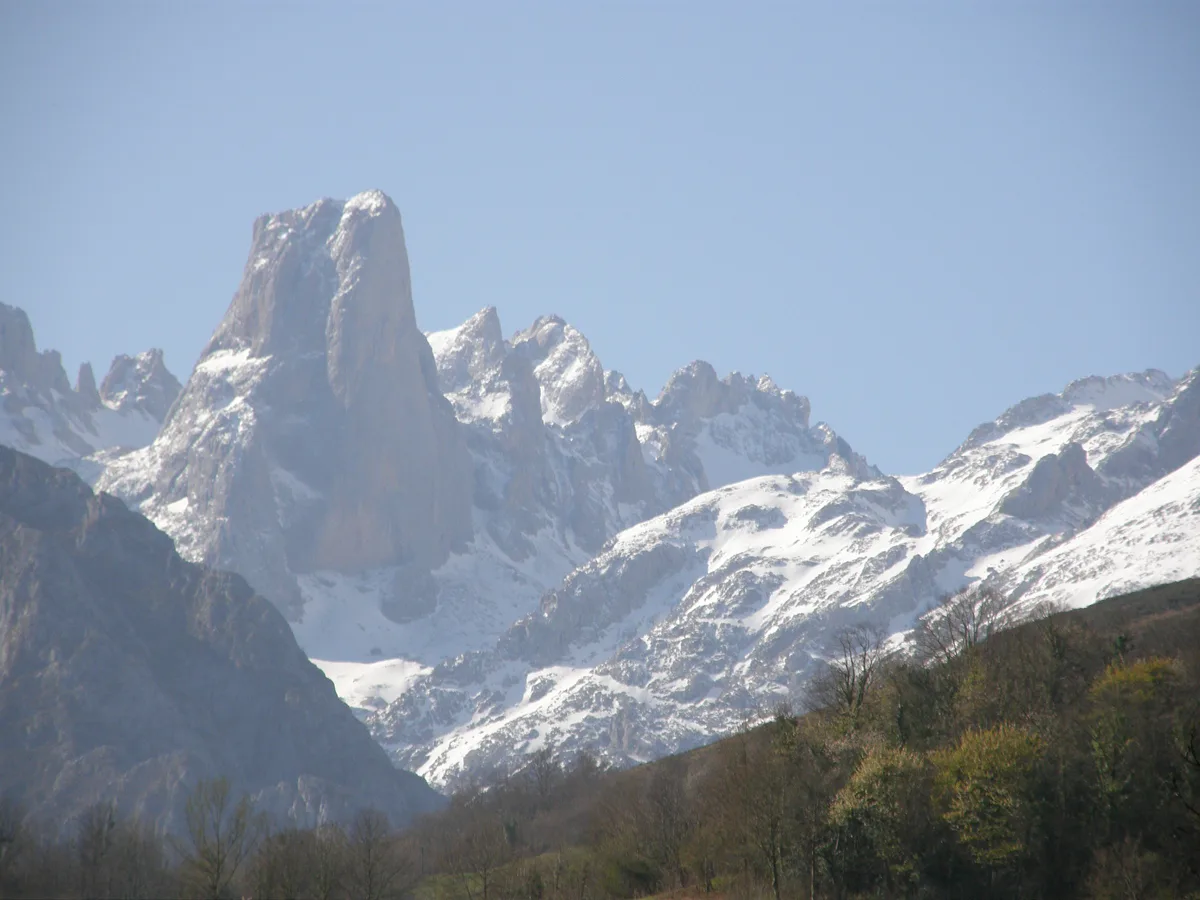
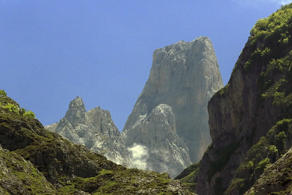
Naranjo de Bulnes stands in the Urrieles (Central) massif, inside Picos de Europa National Park. Asturians call it Picu Urriellu, and Spanish maps also print Pico Urriellu. Geologist Guillermo Schulz wrote "Naranjo de Bulnes" on his 1855 map of Asturias. Why "Naranjo", the orange tree? Nobody knows for sure. One theory says it corrupts the old word "Naranco", and another points to the orange tint of the limestone. Locals in Bulnes have always used Picu Urriellu.
- Height: 2,519 m
- Names: Naranjo de Bulnes, Picu Urriellu, Pico Urriellu
- Municipality: Cabrales, Asturias
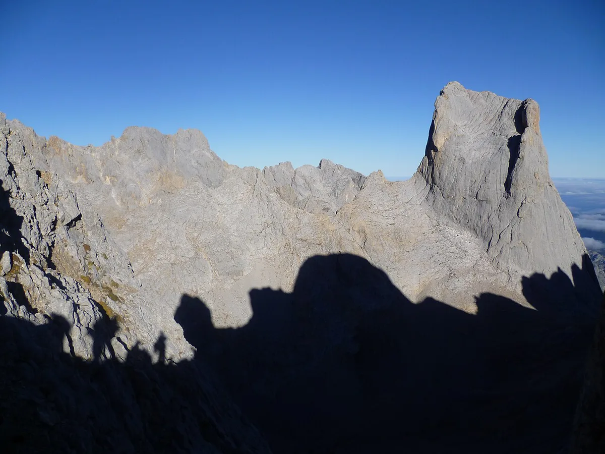
- West face: a 550 m vertical wall, famous for big-wall climbing
- Base: Vega de Urriellu, a glacial valley with a refuge at 1,960 m
- First ascent: 5 August 1904, by Pedro Pidal with the shepherd Gregorio Pérez "El Cainejo"
Choose your level: see it, hike to it, or climb it
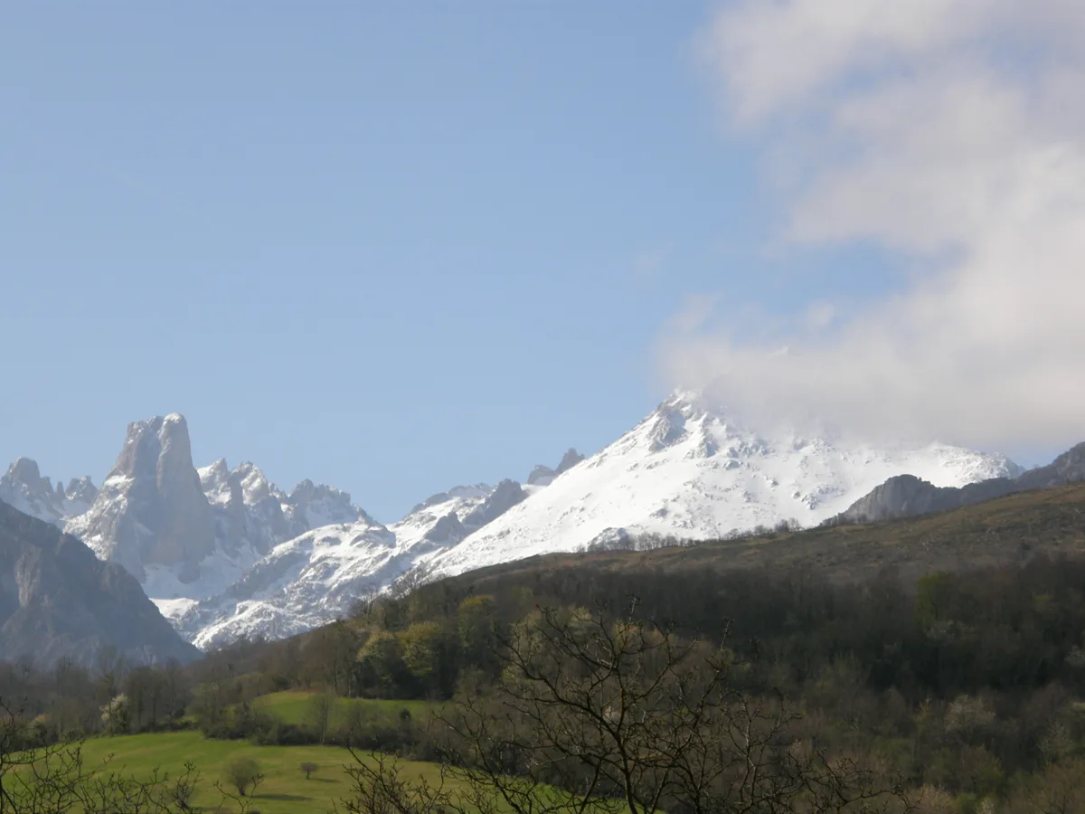
Decide the level before you pick a route. Roadside views show a 2,519 m silhouette from far away. The refuge hike puts you at 1,960 m beneath a 550 m west wall. Climbing is a separate alpine undertaking with its own skills, gear and descent.
| Level | Effort | Start point | Access | Main risk |
|---|---|---|---|---|
| Roadside viewpoint | Minimal | Pozo de la Oración, Póo de Cabrales | Large car park off the AS-14 | Cloud hides the peak |
| Short village viewpoint | Low | Camarmeña, above Poncebos | Steep, winding road; very little parking | Narrow road, full village in high season |
| Hike to Vega de Urriellu | Full day on mountain paths | Sotres, or Bulnes village | Track, then path; funicular or footpath to Bulnes | Late start, weather change, no water |
| Climb | Alpine, expert-only | Refuge at Vega de Urriellu | Walk-in, then roped climbing and rappel descent | Rockfall, crowds, storms |
Best Naranjo de Bulnes viewpoints for your goal
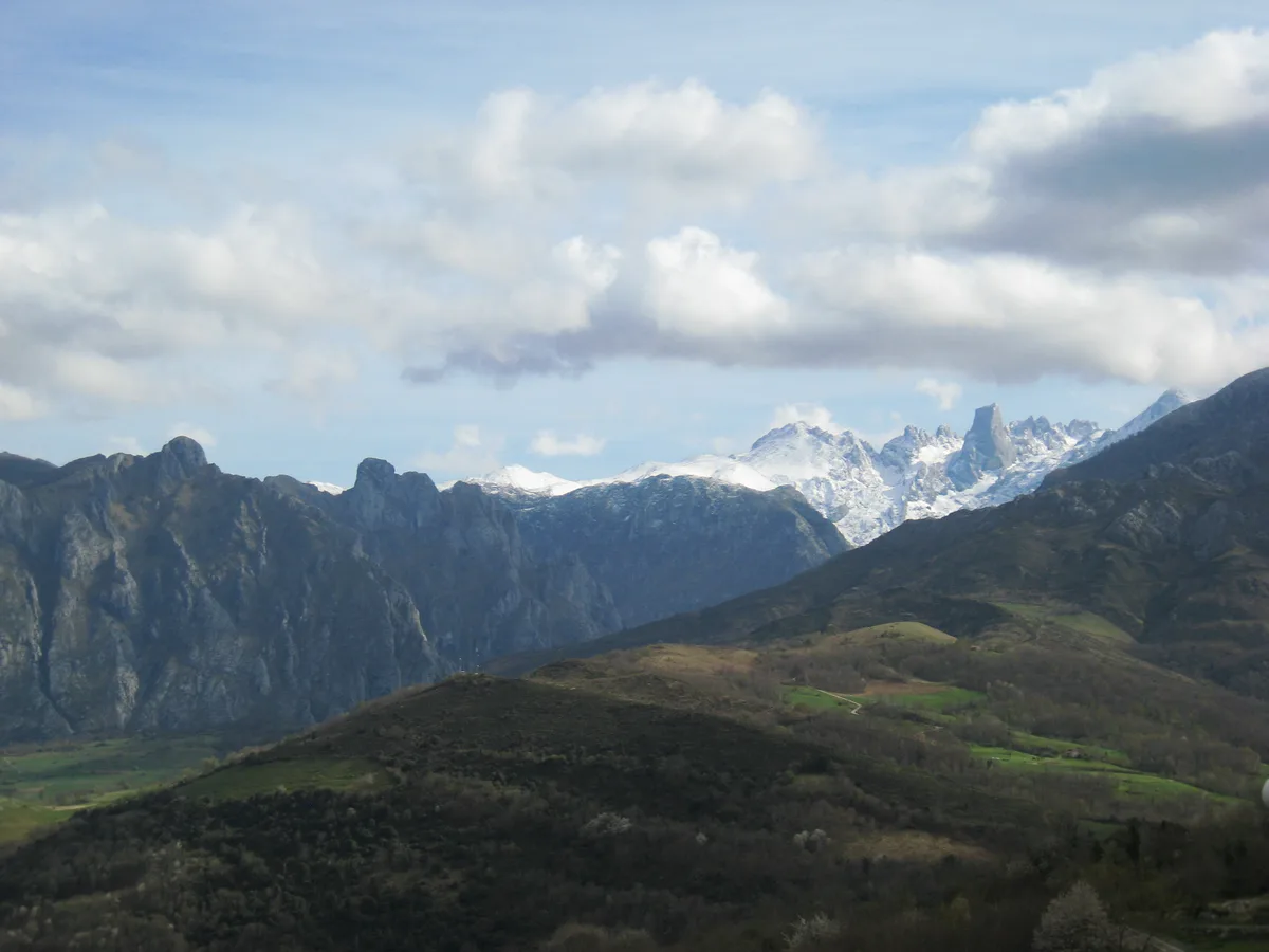
Five roadside and village viewpoints are listed by Turismo Asturias. All but Pimiango give a clear, direct look at the peak in good weather. Even under cloud the outline is recognisable, although fog can hide it completely. Locate each start point on the Picos de Europa Map: Massifs, Gateways & Trailheads before you drive.
- Easiest and most popular: Pozo de la Oración in Póo de Cabrales. Drive the AS-14 to a large car park built for looking at the peak.
- Best late light: the Pedro Udaondo viewpoint in Asiegu. At the end of the afternoon the rock turns orange and pink.
- Closest village view: Camarmeña, reached by a steep, winding road from Poncebos. Only about a dozen people live there, few vehicles can park, and in high season many visitors arrive on foot.
- Distant view only: Pimiango, on the coastal plateau on the way to El Pindal Cave. The peak is visible on clear days, but small on the horizon.
- Skip by car: Pandébano. The road is in poor condition, and drivers who try it park near the Invernales del Texu.
Hiking to the base: Sotres, Bulnes and Fuente Dé approaches
Most walkers start in Sotres. Leave the car in the village and follow the track to the Cabao winter huts. Cross the Duje river and climb to the Pandébano col, where the track ends and a path begins. Peak first comes into view from that col. Continue past the Terenosa sheepfold to Colláu Vallejo, then zigzag up to the Vega de Urriellu refuge at 1,960 m. Climbers' reports put the walk at about 3.5 hours, with roughly 1.5 hours more from the hut to the south face.
Bulnes is the second gateway. Only a footpath or the funicular reaches the village, so plan around that. Check fares and timetables on the official funicular site. Our Bulnes village guide covers the village itself. From there, the direct line to Vega de Urriellu runs through the Balcosín channel and the Camburero sheepfold. That line is harder than the Sotres route, and the Pandébano col is the easier alternative.
A third line starts at Fuente Dé. A 1970 winter party took it, sleeping at Cabaña Verónica before reaching the refuge next day. The Fuente Dé cable car guide explains the lower station. Refuge booking, water supply and access rules sit with the park authorities, so start with the national park guide and carry your own water.
| Start point | Access | Difficulty | Suits |
|---|---|---|---|
| Sotres via Pandébano | Drive to Sotres, then track and path | Moderate; the most common route | First-time hikers to the refuge |
| Bulnes via funicular or footpath | Funicular or walk into the village | Moderate to hard | Walkers combining Bulnes with the peak |
| Bulnes via Balcosín channel | Direct line from the village | Harder than Sotres | Experienced mountain walkers |
| Fuente Dé via Cabaña Verónica | Cable car area, then mountain paths | Long, committing | Strong walkers staying on the Potes side |
Climbing Picu Urriellu: what to know before choosing a route
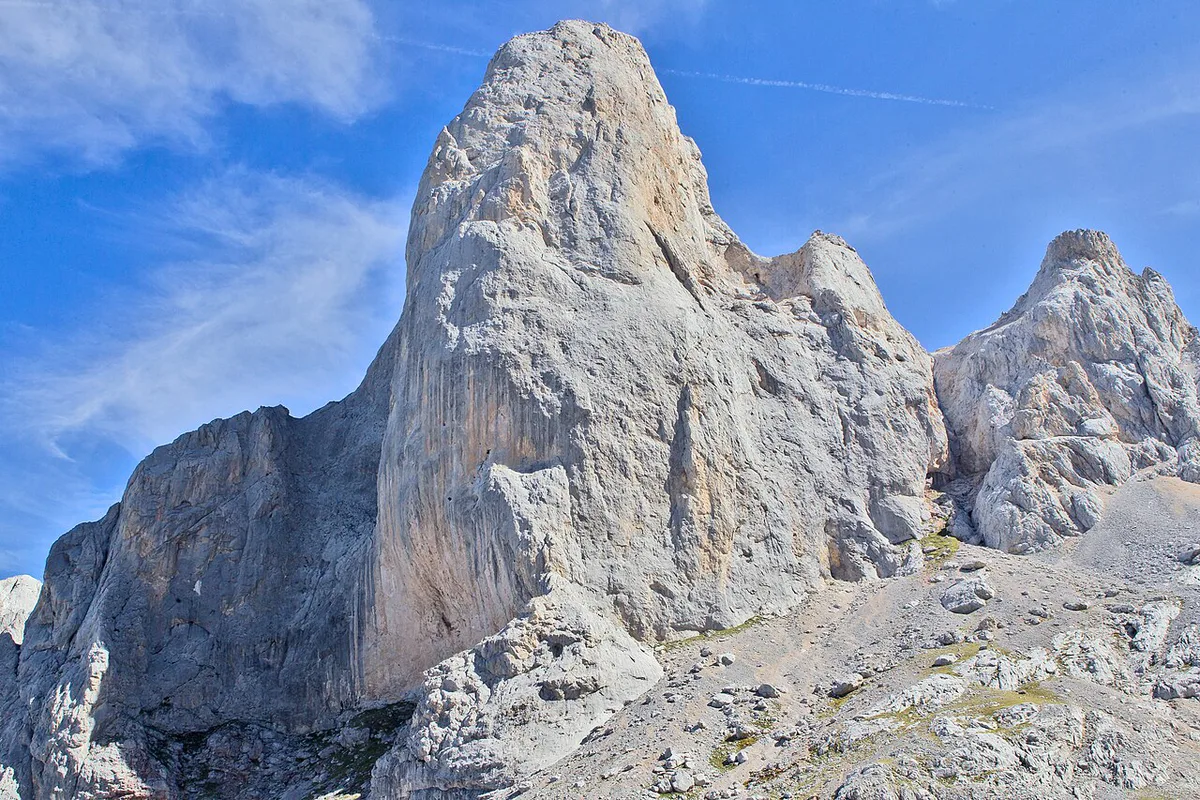
The two main faces differ sharply. The south face is the easier option, with about 150 m of climbing that suits many climbers. The west face is a 550 m big wall for specialists. No scrambling route reaches the summit, so every ascent needs rope work. The normal descent follows the south face by the Directa Martínez line, with four rappels after downclimbing part of the Anfiteatro. Loose rock is common there, and popular routes can be crowded in summer.
Pedro Pidal and Gregorio Pérez "El Cainejo" made the first ascent on 5 August 1904 by the north face. Gustav Schulze made the second ascent on 1 October 1906. Alberto Rabadá and Ernesto Navarro climbed the west face for the first time on 21 August 1962. On 4 September 2009 the Pou brothers climbed the Orbayu route in about 8 hours. Skilled climbers still rank it among the hardest free routes on any mountain.
Hire a certified mountain guide unless you already have alpine experience, rappelling skills and route-finding practice. Do not treat the summit as a scramble.
| Route | Face | Listed grade (as listed, verify) | Why it matters |
|---|---|---|---|
| Pidal-Cainejo | North | V | Route of the 1904 first ascent |
| Directa Hermanos Martínez | South | V- | Also the normal descent line |
| Nani | South | V+ | Another south-face option |
| Rabadá y Navarro | West | MD+, 6a, A1 | First route up the west face, in 1962 |
| Murciana 78 | West | 7c+ / 6a, A2 | Big-wall route for specialists |
| Orbayu | West | 8c+/9a | Opened by the Pou brothers in September 2009 |
When to go and what weather to expect
Summer gives the most settled walking conditions and the most climbers. Snow and ice change the objective entirely, and the first winter ascent came only on 8 March 1956. Mountain weather turns quickly. Press accounts of the February 1970 ordeal on the west face reported winds up to 150 km/h and temperatures of -20 °C. Treat that story as a reason to respect conditions, not as a forecast.
Check the Picos de Europa weather guide for seasonal patterns. Look at AEMET's mountain forecasts the evening before and again at departure.
If cloud covers the peak, switch plans. Visit Póo de Cabrales or Asiegu later, since the cloud can lift by evening. Otherwise spend the day around Cangas de Onís. Another low-cloud option is the Lakes of Covadonga: Access, Hikes & Time Needed.
Getting there and where to stay
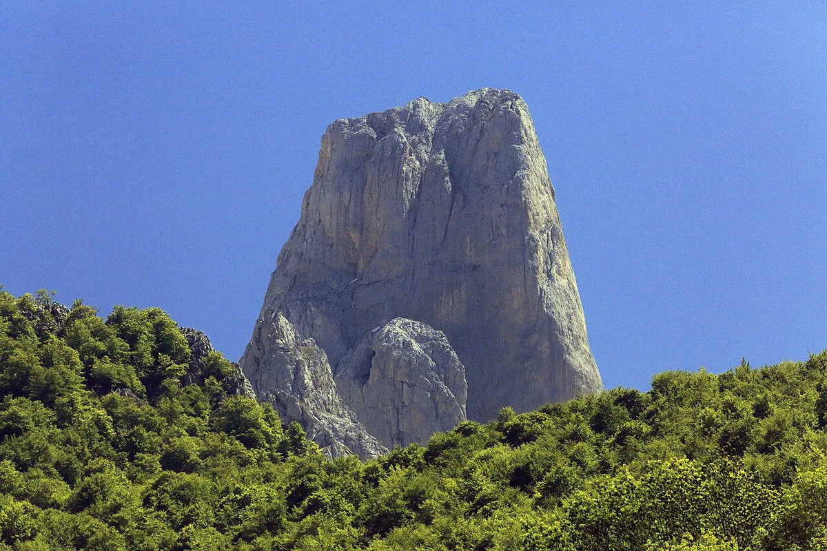
Two sides serve the peak. On the Cabrales and Poncebos side you reach Póo de Cabrales, Asiegu, Camarmeña and the Bulnes funicular. Sotres is the usual trailhead for Pandébano. On the Potes side, Fuente Dé offers a longer, more committing approach. Potes is the nearest town base there. Compare driving and bus options in How to Get to Picos de Europa: Routes, Gateways & Access Rules. Camping is one option, and you can compare sites in the Picos de Europa camping guide. A hotel or village house near Cabrales also works if you prefer a bed. Campsite opening dates change, so check them before booking.
Mistakes to avoid
Most problems here come from timing and expectations. Avoid these six.
- Expecting a clear view without checking the forecast. Cloud often hides the peak.
- Driving the poor Pandébano road. Park near Invernales del Texu or start from Sotres on foot.
- Assuming every viewpoint is close. Pimiango is a distant view, and Camarmeña has almost no parking.
- Starting the refuge hike late. The Sotres walk is about 3.5 hours one way, as reported by climbers.
- Arriving without water or refuge information. Check the park authorities before you set out.
- Treating the climb as a scramble. Even the south face needs ropes and rappels.
Frequently Asked Questions
¿Por qué es famoso el Naranjo de Bulnes?
It is among the best-known summits in Spanish mountaineering. Climbers prize its 550 m west face, and its orange-tinted limestone is easy to recognise from many Cabrales viewpoints.
¿Cuánto se tarda en subir al Naranjo de Bulnes?
Climbers report about 3.5 hours of walking from Sotres to the Vega de Urriellu refuge. Climbing time depends on the route and your party, so there is no single figure. The Pou brothers needed about 8 hours on the Orbayu route in 2009.
Notes for your next park visit
Optional updates to our national park guides.
Read next

Keep planning
Picked from the same area