
5 Best Calanques to Visit: Calanques National Park Guide
Plan Calanques National Park: 5 calanques compared by effort, how to choose between walking, boat and kayak, and what to check before you go.
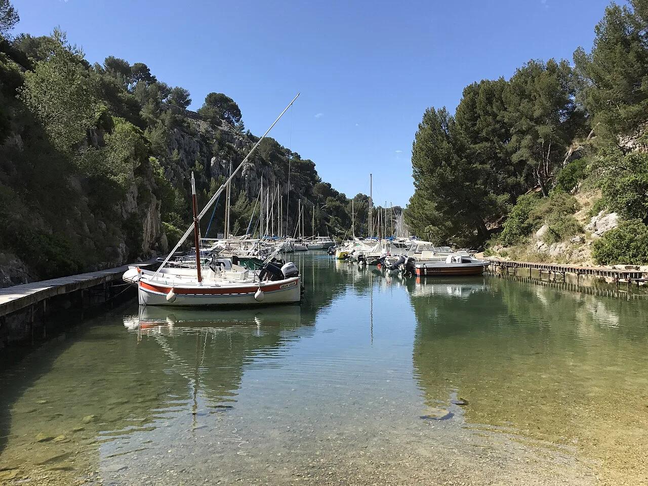
Last updated November 2026: Calanques National Park runs along about 12.5 miles (20 km) of coast between Marseille and Cassis. Your main decision is how you reach the inlets, on foot, by boat or by kayak. Below, five calanques are compared by effort, access and trade-offs, with links to our detailed guides.
Featured image: Benoît Prieur, CC0, via Wikimedia Commons.
Calanques National Park at a glance
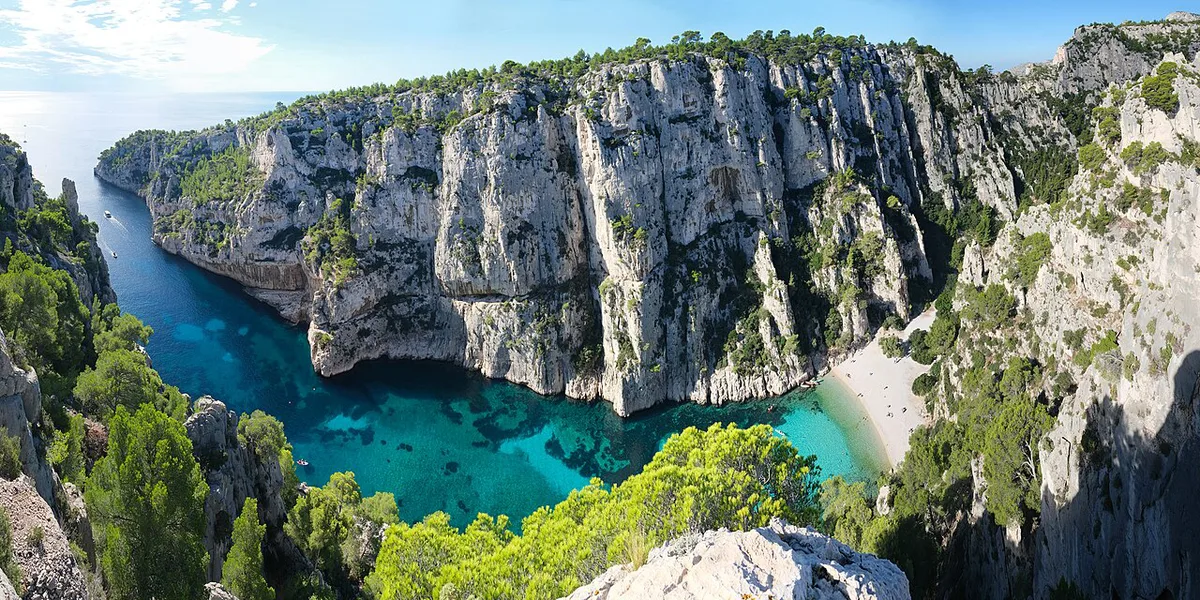
Parc national des Calanques protects a rocky Mediterranean coast between Marseille and Cassis. Around 26 major calanques, or steep-sided inlets, line the shore. Limestone cliffs drop into turquoise water, and pines cling to the slopes above. Some inlets are reachable only by boat, others only on foot. Paths can close in summer because of fire risk. Read the access notices on the official park site before every trip.
| Quick fact | Detail |
|---|---|
| Location | Between Marseille and Cassis, France |
| Length | About 12.5 miles (20 km) of coast |
| Major calanques | Around 26 |
| Ways in | Walking, boat tour or kayak |
| Check first | Fire-risk closures, access rules, wind |
For another coastal park where footpaths link cliffs, coves and villages, see Cinque Terre National Park on the Italian Riviera.
5 best calanques to visit in Calanques National Park
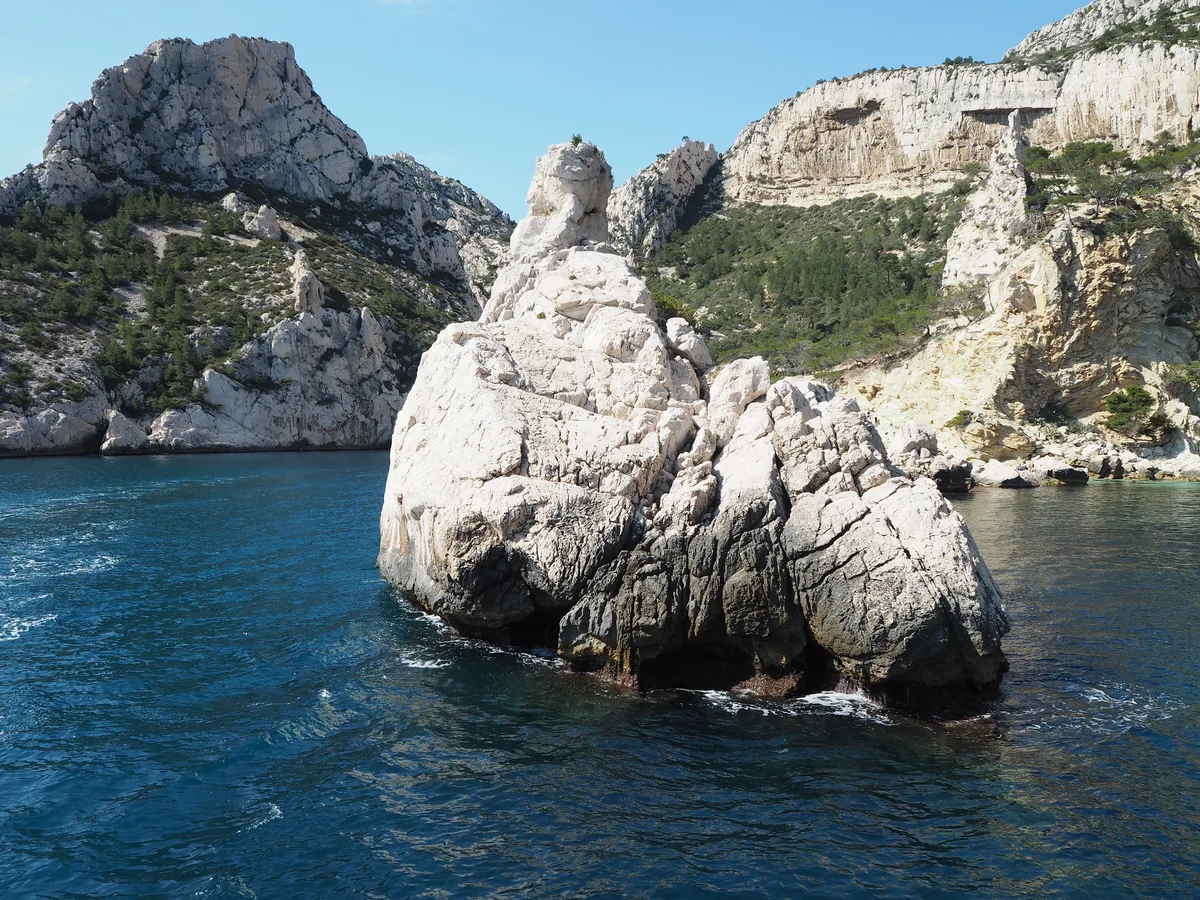
Each entry below lists the access mode, the effort, who it suits and the main trade-off. Effort is described in relative terms, because trail times depend on your starting point and the day's closures.
1. Port-Miou
Port-Miou sits on the Cassis side of the park and works well as a first introduction. Our Port-Miou guide covers the approach in detail. Access is on foot from Cassis, and the effort is the lowest of the five here.
It suits first-time visitors, mixed-fitness groups and anyone staying in Cassis. The trade-off is atmosphere: it feels more accessible and less remote than the Marseille-side inlets. Skip it if you want a long, wild coastal walk.
2. Sugiton
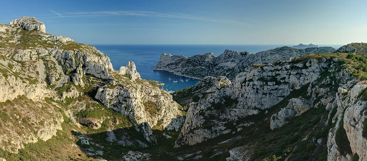
Sugiton is the gentlest way into the park from Marseille. A trail to a viewpoint above the calanque starts just outside the city. Access is on foot, and the effort is modest compared with the other Marseille-side inlets.
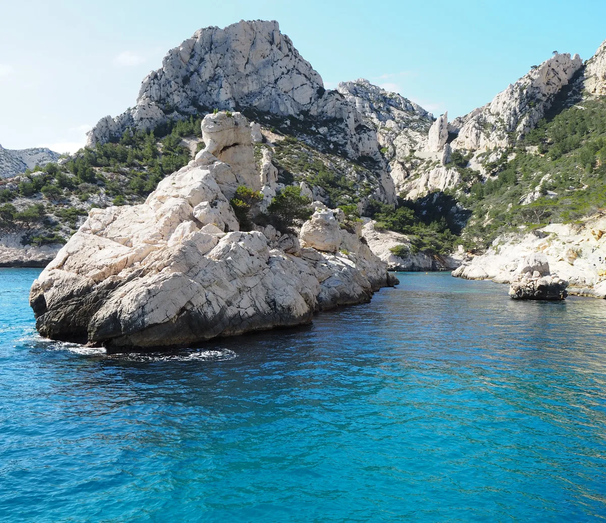
It suits travellers with a half-day to spare and a camera. The trade-off is that a viewpoint walk gives you the outlook first and the water second. Skip it in fire season without checking the park's access notice, since paths can close.
3. Sormiou
Sormiou is one of the calanques that needs a decent walk to reach. Plan it as a proper outing with water, sun protection and sturdy shoes. Access is on foot, and the effort is moderate to demanding because trails are rocky and exposed.
It suits confident walkers who want the reward of a sheltered inlet. The trade-off is that there is little shade or service on the way. Skip it in strong heat or when the trail is closed for fire risk.
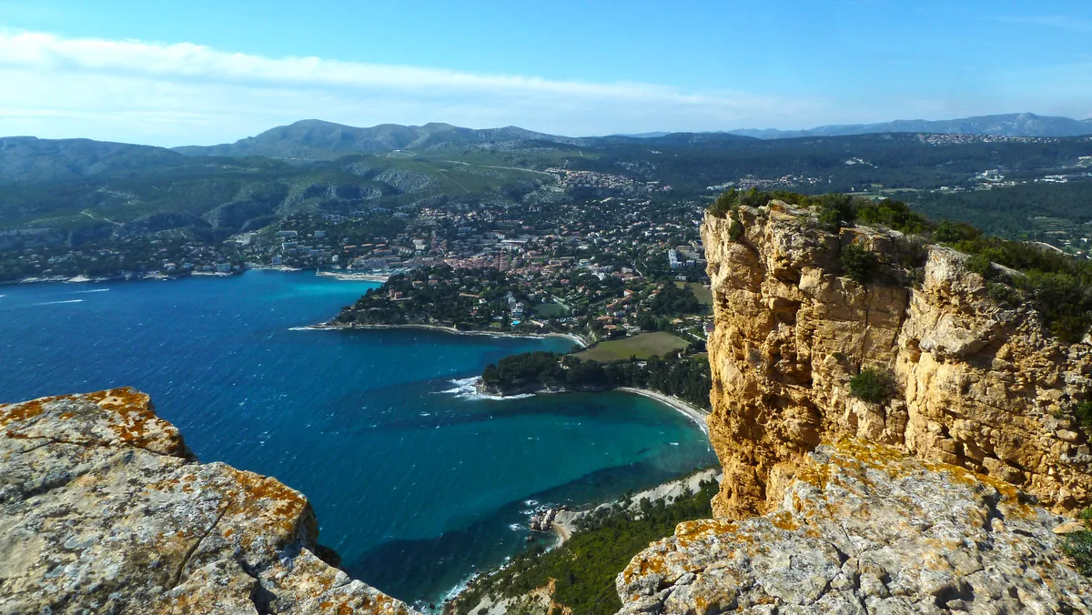
4. Morgiou
Morgiou is another calanque on the Marseille side that rewards effort. Reaching it takes a decent walk over rocky, steep ground. Access is on foot, and boat tours also add a view of the cliffs from the water.
It suits hikers who like to combine a coastal trail with a swim stop. The trade-off is effort: the climb back is part of the day. Skip it if you have young children or limited mobility, and choose a boat tour instead.
5. En-Vau
En-Vau is among the best-known calanques, with pale limestone walls and deep turquoise water. It needs a decent walk, and trails are rocky, exposed and often steep. Boat tours from Cassis and Marseille give a different perspective, with the cliffs towering above you.
It suits fit walkers and anyone happy to join a boat or kayak trip. The trade-off is popularity: expect company on a fine day. Skip the walking route in midsummer heat or high wind.
Walk, boat or kayak: which way in?
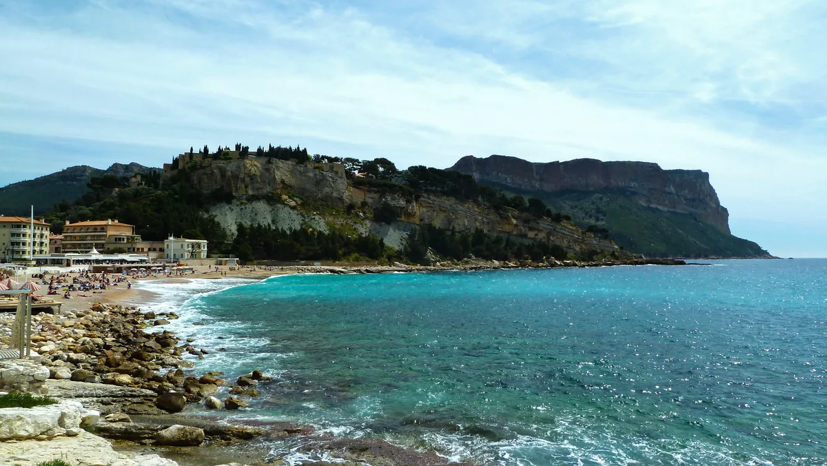
Walking gives you the most freedom but the most exposure. Boat tours run from Marseille and Cassis and show caves at water level and swimming stops in sheltered coves. See our boat tour options for departure points. Our guided calanques tours suit anyone who wants a local to handle logistics. For paddling, read about kayak outings along the cliffs.
| Mode | Cost | Time | Fitness | Weather risk | Who should skip |
|---|---|---|---|---|---|
| Walk | Lowest | Longest | Moderate to high | Heat, fire closures | Anyone without sturdy shoes or water |
| Boat | Mid to high | Shortest | Low | Wind can disrupt sailings | Travellers prone to seasickness |
| Kayak | Mid to high | Medium | Moderate | Wind and swell | Weak swimmers or non-paddlers |
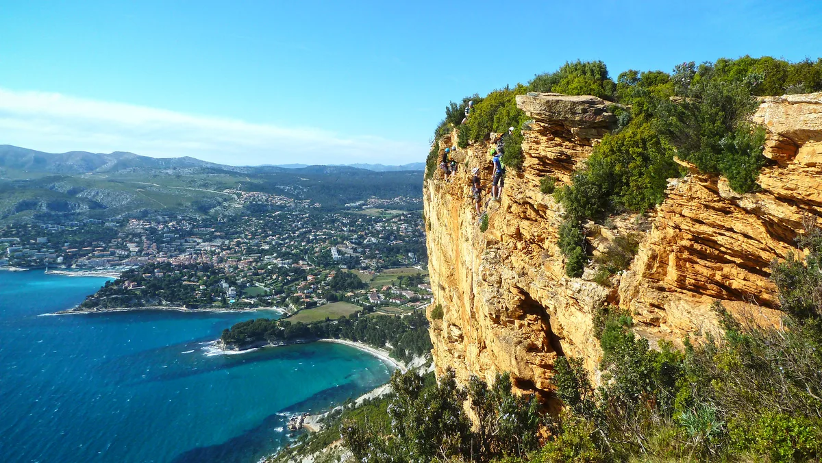
How to get to the Calanques
Bus, train and car options differ between Marseille and Cassis, so start with our route guide for the calanques. Check current lines and timetables on the RTM Marseille network.
When to go and what can close
Summer brings heat and fire-risk path closures. Strong wind can disrupt boat and kayak trips. Spring and autumn usually suit walking better, because shade is scarce on exposed trails. Look at the park's official notices on the morning of your walk. Have a boat tour or Cassis harbour stroll ready as a fallback.
Where to base yourself: Marseille or Cassis
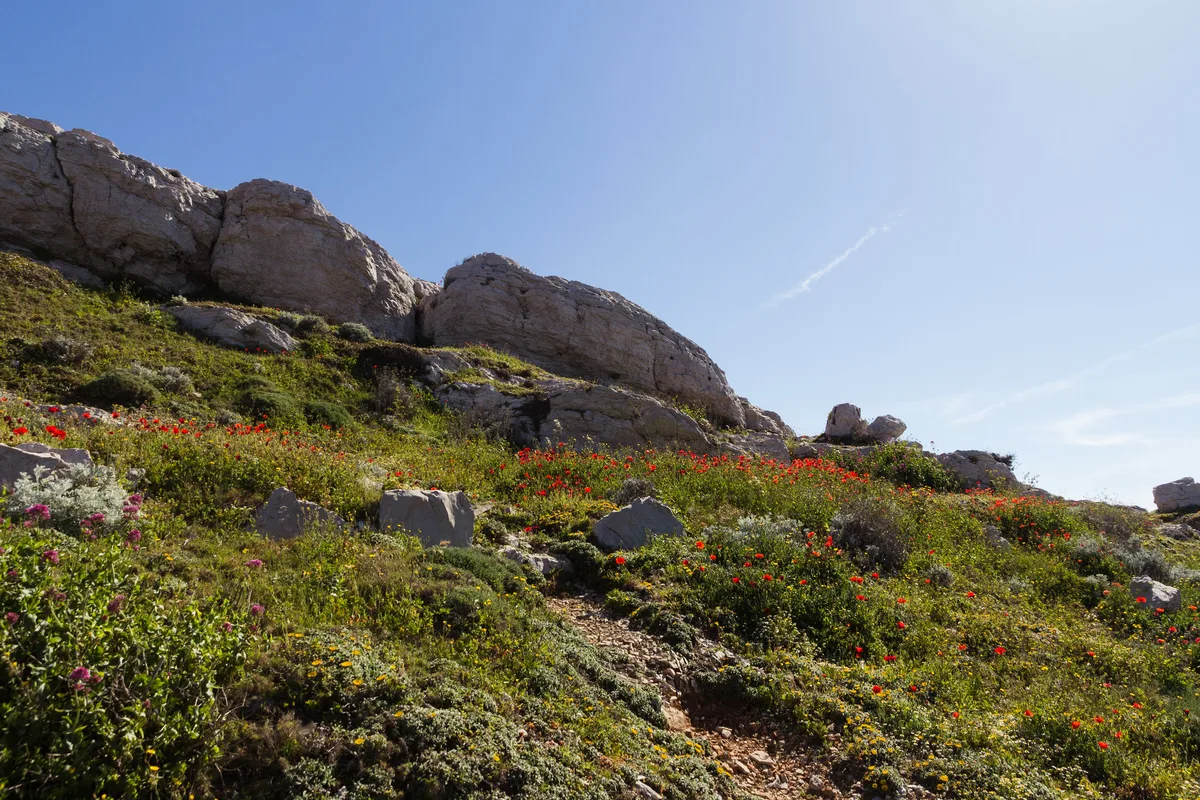
Marseille is the larger city and the base for the Sugiton, Sormiou and Morgiou walks. Cassis is a small harbour town with the easiest start for Port-Miou. Our Cassis calanques guide covers that side. The Cassis tourist office lists local services.
| Base | Best for | Trade-off |
|---|---|---|
| Marseille | City choice, transit network, Sugiton walks | Longer approach to some trailheads |
| Cassis | Port-Miou, boat departures, harbour setting | Smaller town, less choice |
Sample plans for one or two days
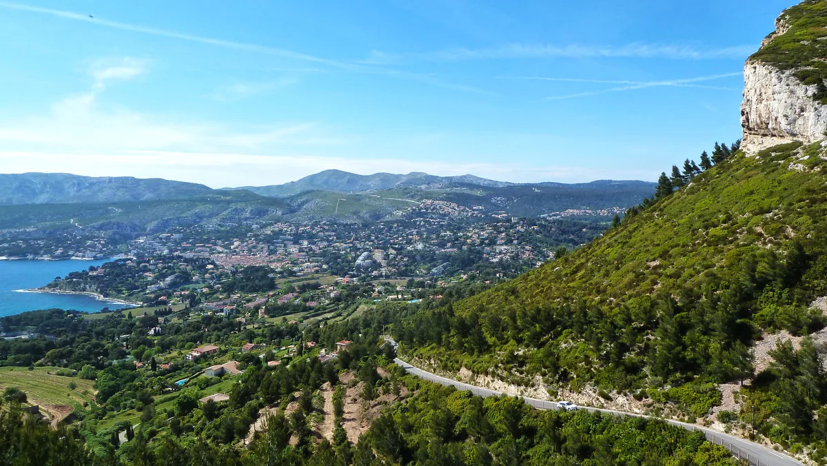
Use our Calanques Map: Where Each Calanque Is and How to Reach It to match these plans to trailheads. Durations are approximate and depend on closures. If you have spare time, Cap Canaille: Cliff, Route des Crêtes and How to Visit works as a scenic extra nearby, though it is not a calanque.
Across about 12.5 miles (20 km) of coast, a two-day plan can give Cassis one morning and Marseille the other.
| Plan | Route | Trade-off |
|---|---|---|
| 1 day, easy | Port-Miou from Cassis, then harbour lunch | Least wild |
| 1 day, active | Sugiton viewpoint from Marseille, then a boat tour | Needs open trails |
| 2 days | Day one Sormiou or Morgiou on foot; day two En-Vau by boat | Most effort |
| Bad weather | Cassis harbour and a museum or market in Marseille | Skips the coast |
Safety, rules and mistakes to avoid
Trails are rocky, exposed and often steep. Bring water, sun protection and proper footwear. Park rules cover swimming, fires, drones and dogs, so read them on the official site. If a trail is closed, switch to a boat tour or another sector.
| Mistake | Better choice |
|---|---|
| Skipping the closure check | Look up park notices on the morning you go |
| Wearing sandals on rocky trails | Wear sturdy walking shoes |
| Carrying too little water | Pack more than you expect to drink |
| Walking at midday in summer | Start early or choose a boat |
Frequently Asked Questions
Is Calanques worth visiting?
Yes, if you like coastal scenery and can adapt to closures and wind. Limestone cliffs, turquoise water and a choice of walking, boat or kayak make it a strong half-day or full-day trip from Marseille or Cassis.
What is Calanque meaning?
In the Provençal dialect, calanque means inlet. Each calanque is a narrow, steep-sided bay carved into the limestone coast.
Explore More Guides
Keep planning your trip with these guides.
Guides
- Cap Canaille: Cliff, Route des Crêtes and How to Visit
- Cassis Calanques: Port-Miou, Port-Pin & En-Vau Guide
- Calanques Boat Tour: Marseille vs Cassis, Stops & Tips
- Calanque de Port-Miou
- How to Get to the Calanques
- Calanques Map: Where Each Calanque Is and How to Reach It
- Calanques Tours: Boat, Kayak & Hike Compared
- Calanques Kayak: Guided, Self-Guided or Multi-Day?
Notes for your next park visit
Optional updates to our national park guides.
Read next

Keep planning
Picked from the same area