How to Get to Picos de Europa: Routes, Gateways & Access Rules
How to get to Picos de Europa by plane, car, bus or ferry. Choose Cangas de Onís or Potes, and check Covadonga Lakes and Cares access rules before you go.
Last updated November 2026: how to get to Picos de Europa starts with one fact, because the park has no single entrance. The two practical gateways are Cangas de Onís in the west (Asturias) and Potes in the east (Cantabria). Most visitors fly into Asturias, Santander or Bilbao and hire a car, since buses reach the gateway towns but thin out beyond them.
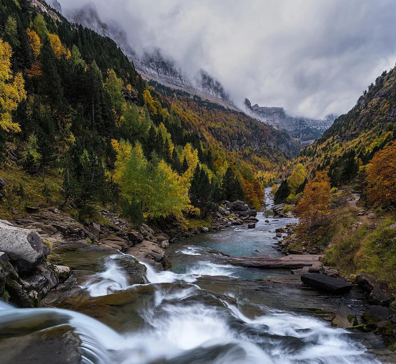
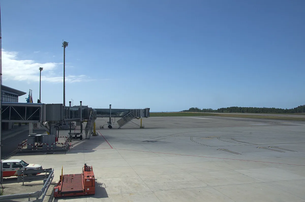
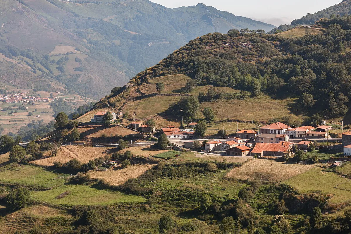
Featured image: Zarateman, CC BY-SA 4.0, via Wikimedia Commons.
Quick answer: how to get to the Picos de Europa
Our verdict is simple. Fly to Asturias or Santander, hire a car at the airport, and pick one gateway as your base. Coming from Oviedo or Gijón, you enter from Cangas de Onís. Coming from Santander, Bilbao or San Sebastián, you enter through Potes. Before you travel, check the park's official alerts page for closures, and check the Covadonga Lakes bus booking site, which is run by ALSA. Look at the mountain forecast too, because mist and rain change plans quickly.
| You start from | Best gateway | Main mode | Trade-off |
|---|---|---|---|
| Oviedo, Gijón or Asturias Airport (Avilés) | West: Cangas de Onís | Hire car, or ALSA bus to Arriondas and Cangas | Easiest western approach; buses are limited beyond Cangas |
| Santander (airport, train, ferry) | East: Potes | Hire car; about 1.5 hours to Potes via Unquera | Fastest to Fuente Dé and Liébana |
| Bilbao | East: Potes, or Arenas de Cabrales | Fly or train, then hire car or FEVE rail to Santander or Unquera | Adds a transfer; good if you want a Bilbao stop first |
| León or Madrid | South entry via Riaño, or west via Oviedo | Car | León to the park is 254 km by road; Madrid to Cangas is roughly 6 hours |
| UK by ferry | Santander, then east or west | Ferry from Plymouth or Portsmouth, then car | Slow but carries cars and bikes |
Where are the Picos de Europa?
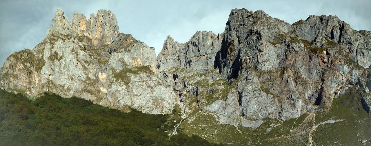
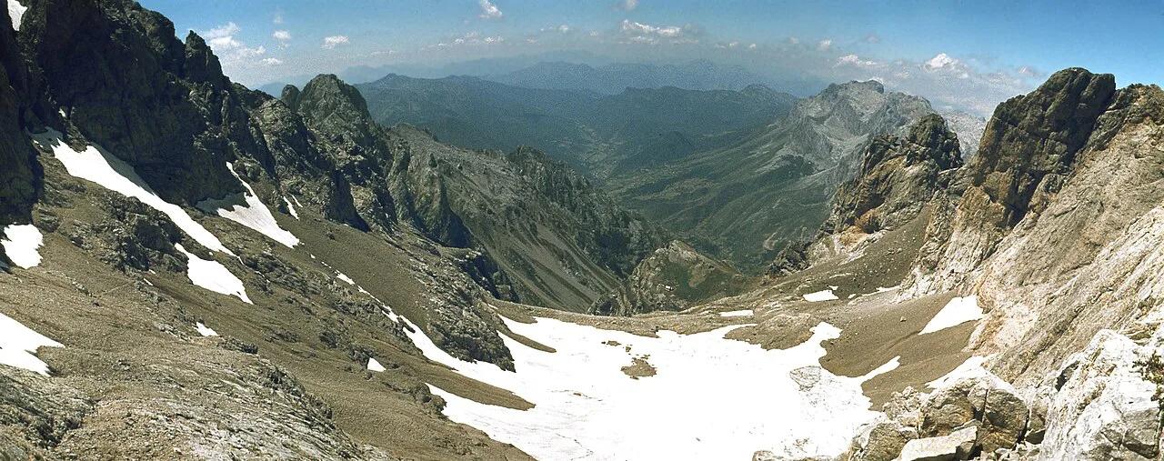
The 8 Best Things to Do in Picos de Europa (2026 Guide) sit in northern Spain across three regions: Asturias, Cantabria and León. The Cantabrian Sea lies to the north, with the Sella river marking the western edge and the Deva the eastern edge. León's Riaño area marks the southern edge. Because the park has no entrance gates or ticket booths, you arrive wherever the roads take you. The national park overview explains the zones in more detail. Our map of the range shows how the three sides relate to each other. Study it before booking, because the west and east sides are not linked by a short road. Check the drive time before planning a same-day crossing.
Which gateway should you choose?
Choose by the sights you want most. Covadonga and the lakes belong to the west. The Fuente Dé cable car belongs to the east. Poncebos, the Cares trail and Bulnes are reached from Arenas de Cabrales on the Asturian side. A one-base plan works for two or three days. Using both sides means a long drive between bases, so we'd only attempt it with a week or more. Start with Cangas de Onís as a base or Potes as a base, and stay put.
| West: Cangas de Onís | East: Potes | |
|---|---|---|
| Region | Asturias | Cantabria |
| Key sights | Covadonga, Enol and Ercina lakes, Arriondas | Fuente Dé cable car, Liébana valley |
| Also reached from | Arenas de Cabrales, Poncebos, Bulnes | La Hermida gorge, Valdeón via San Glorio |
| Usual arrival | From Oviedo, Gijón, Asturias Airport | From Santander, Bilbao, San Sebastián |
| Restriction to check | Public-transport-only periods at the lakes | Cable car booking |
| Best fit | Lakes, Covadonga, first-timers by car or bus | Cable car, hiking, mountain villages |
Getting there by plane
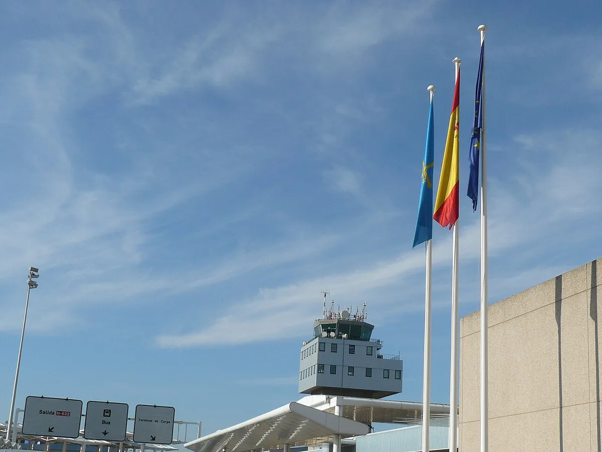
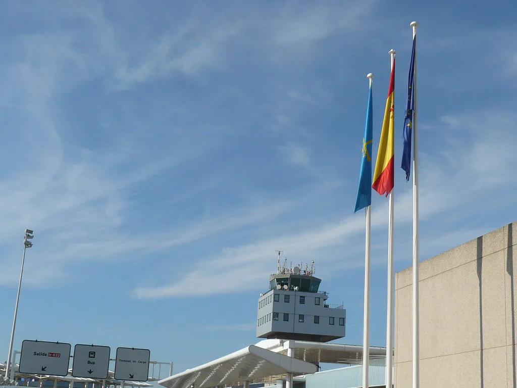
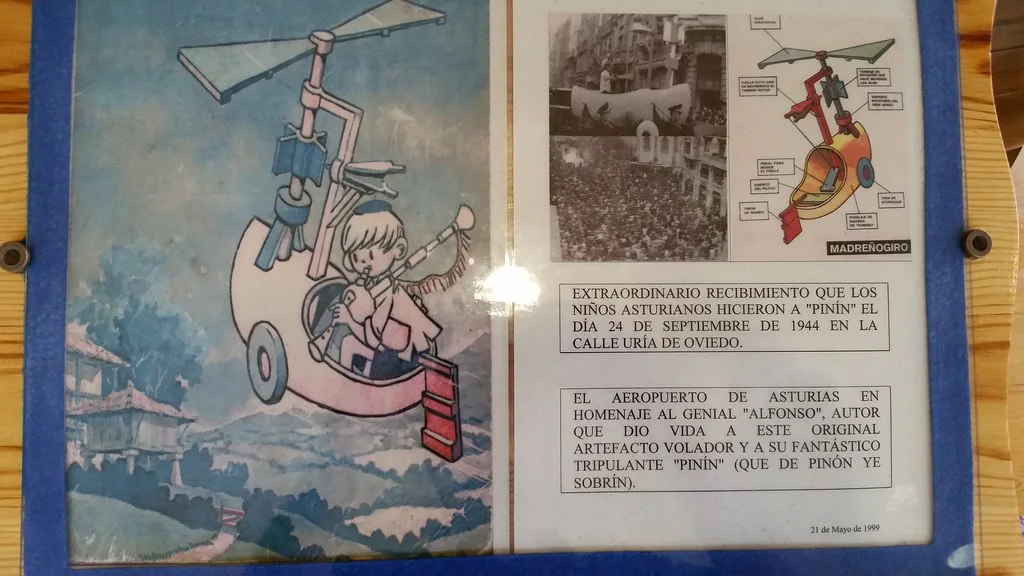
Three airports serve the park: Asturias (Ranón, near Avilés), Santander and Bilbao. Asturias Airport is the closest for Cangas de Onís and the west. Santander is the closest for Potes and the east. Bilbao works if you want a city stop first, and it is a straightforward base for the east. All three have car hire, and we'd book the car before you fly because the mountains have no hire desks. Flight schedules change by season, so check the airports' pages at Aena for current routes. Madrid and Barcelona link to Asturias by domestic flights, and several European routes serve Santander.
- Asturias Airport: best for Cangas de Onís, Covadonga, Arriondas.
- Santander Airport: best for Potes, Fuente Dé, Liébana.
- Bilbao Airport: best for a city stop, then onward by car to the east side.
Getting there by car
A car is the most flexible option, and the one we'd pick for most trips. From Oviedo, the park's route guidance runs on the N-634 to Arriondas, then the N-625 to Cangas de Onís. From Santander, take the A-8 coastal motorway to Unquera, then the N-621 to Panes. At Panes, turn onto the AS-114 for Arenas de Cabrales, or stay on the N-621 for Potes. The N-621 passes through La Hermida gorge, which runs for 21 kilometres. From León, take the N-601 to Mansilla de las Mulas, then the N-625 via Cistierna to Riaño. León to the park is 254 km by road, and Madrid to Cangas de Onís is roughly 6 hours. Treat both figures as approximate.
- Parking: villages and trailheads fill early in July to September, so arrive before mid-morning.
- Mountain roads are narrow, and mist and rain can cut visibility.
- Fuel and shops are scarce in remote valleys, so fill up in Potes, Cangas de Onís or Arenas de Cabrales.
- Mobile coverage is patchy, so download offline maps before you leave town.
Getting there by bus, train and ferry
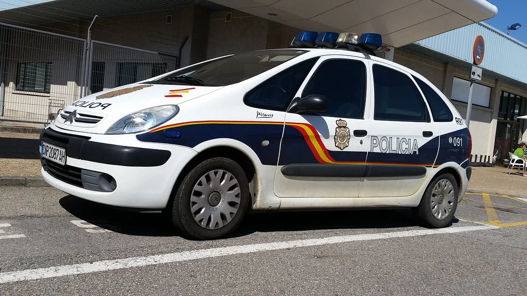
ALSA long-distance buses serve Arriondas, Cangas de Onís, Arenas de Cabrales, Panes and Unquera from across Spain. Arriondas is 7 km north of Cangas de Onís. Unquera is 40 km north of Potes. From Santander, local services run to Potes, reported at 2 to 3 a day, and some continue to Fuente Dé. Schedules change, so check ALSA before you build a plan on them. A no-car trip only works if you anchor yourself to a single base. By rail, the closest main station is León, but the road from there is long. We'd take a train to Bilbao and then the FEVE narrow-gauge line along the coast to Santander, Unquera or Llanes. By ferry, Brittany Ferries sail to Santander from Plymouth and Portsmouth. The port is about 2 hours from Cangas de Onís and 1.5 hours from Potes by road. You can hire cars at Santander station, about a ten-minute walk from the ferry terminal.
How to get to the Lagos de Covadonga
Access to the Enol and Ercina lakes is regulated. The park's alerts page says public-transport-only access starts on 28 March and runs in set periods until the Constitution holiday weekend in December. During those periods private cars and motorbikes are excluded around the clock, except authorised vehicles. Tickets are booked through the ALSA lakes bus site. The park describes the busiest restricted days as Easter, summer (usually the last week of July to the first week of September) and national holidays. The rest of the year you can drive up. Cyclists can ride the road all year. The Covadonga shrine stays open all year, though parking can run short on busy days. Check the current calendar before you set out, and we'd book the bus ticket ahead in summer.
Covadonga lake access turns public-transport-only from 28 March, so a car plan from Cangas de Onís needs an ALSA lakes bus ticket, booked ahead in summer.
How to get to Poncebos, Ruta del Cares and Bulnes
From Cangas de Onís, take the AS-114 north to Arenas de Cabrales. A side road runs on to Poncebos, the start of the Ruta del Cares and the lower station of the funicular to Bulnes. Parking at Poncebos fills quickly in high season, so arrive early or take the July and August bus from Arenas. The Cares route has reopened along its full length from Poncebos to Caín after a metal walkway replaced the collapsed section. Check the park's live alert before you commit. The route has no side protection in places, and rockfall risk rises on rainy or windy days. Bulnes village has no road access, so you arrive by the Bulnes funicular or on foot. Check the operator's page for the timetable. If you're after the peak, Naranjo de Bulnes (Picu Urriellu): Views, Hikes & Climbs is reached on foot from Bulnes, or from Sotres on the AS-264.
How to get to Fuente Dé and Potes
From Santander, drive the A-8 to Unquera, then the N-621 through La Hermida gorge to Potes. In Potes, take the road to Fuente Dé. Our pick is to base in Potes, because it has restaurants, shops and a visitor centre. The cable car there covers a 753-metre vertical drop over 1,450 metres of cable. Competitors advise booking in advance, so reserve through Cantur, the operator and look at the cable car from Fuente Dé page before you go. The town's own site, Ayuntamiento de Potes, has local information. From Potes you can also continue on the N-621 over the San Glorio pass towards Valdeón.
Getting around once you're there
Public transport thins out beyond the gateway towns. Taxis and 4×4 transfers are a legitimate option for Covadonga, the Cares gorge and Valdeón. Taxi operators are based in Cangas de Onís, Poo de Cabrales, Posada de Valdeón and Fuente Dé. Ask at the tourist office for current listings, such as Cangas de Onís tourism.
| Option | Cost level | Flexibility | Coverage |
|---|---|---|---|
| Hire car | Medium | High | Best; reaches remote valleys, but parking is tight in summer |
| ALSA and local buses | Low | Low | Gateway towns and a few routes, thin elsewhere |
| Taxi or 4×4 transfer | High | Medium | Covadonga, Cares, Valdeón and Oseja de Sajambre |
| Guided tour | Medium to high | Low | Set routes from Santander or Oviedo |
Best time to travel and seasonal access
Summer is warmest and driest, but July to September is the busiest period, with parking pressure and the lakes regulation. June and September are quieter, and we'd choose them as the sweet spot. Spring and autumn bring more rain and shorter days. In winter, sunset can fall as early as 5pm and some paths close because of snow. See our mountain weather by month for detail, and consult AEMET forecasts before driving up. Thick mist is common even in summer, so lower your ambitions if it closes in. Asturias tourism pages at Turismo Asturias list regional events and services.
Rules and safety that affect your arrival
There is no entrance fee or ticket, but park rules apply. Dogs must be on a lead, and on the Ruta del Cares the lead cannot exceed 1.20 metres. Drones are not allowed. Wild camping is not allowed, and bivouacking is only authorised above 1,600 metres, so book a campsite from our camping guide. Mobile coverage is limited, though 112 works over a wider area than ordinary networks. Leave your route with someone before you set off.
Frequently Asked Questions
Where to fly into for Picos de Europa?
Asturias Airport near Avilés suits the western gateway, Cangas de Onís. Santander suits the eastern gateway, Potes. Bilbao also works if you want a city stop first.
What is the best time to visit Picos de Europa?
June and September give good weather with fewer crowds than July and August. Winter has shorter days and some closures, and spring and autumn bring more rain.
Where to base yourself in Picos de Europa?
Cangas de Onís suits the west, with Covadonga and the lakes nearby. Potes suits the east, with Fuente Dé close. Pick one base for a short trip.
Notes for your next park visit
Optional updates to our national park guides.
Read next
Keep planning
Picked from the same area