Dartmoor Map: Where Things Are and Which Map to Use
A practical Dartmoor map guide: where the main towns, tors and sights sit, which map to use for walking or driving, and key safety and access tips.
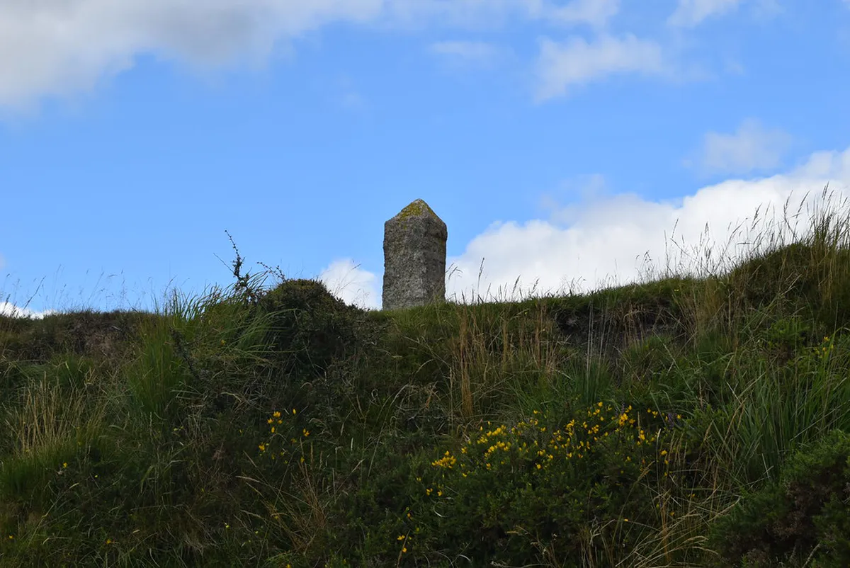
Last updated November 2026: a Dartmoor map shows a national park in Devon, its villages, its tors and the roads between them. Use an overview map to plan the trip and a detailed walking map for the open moor. Our guide to 10 Best Things to Do in Dartmoor National Park covers the wider context, and this page covers which map suits which job.
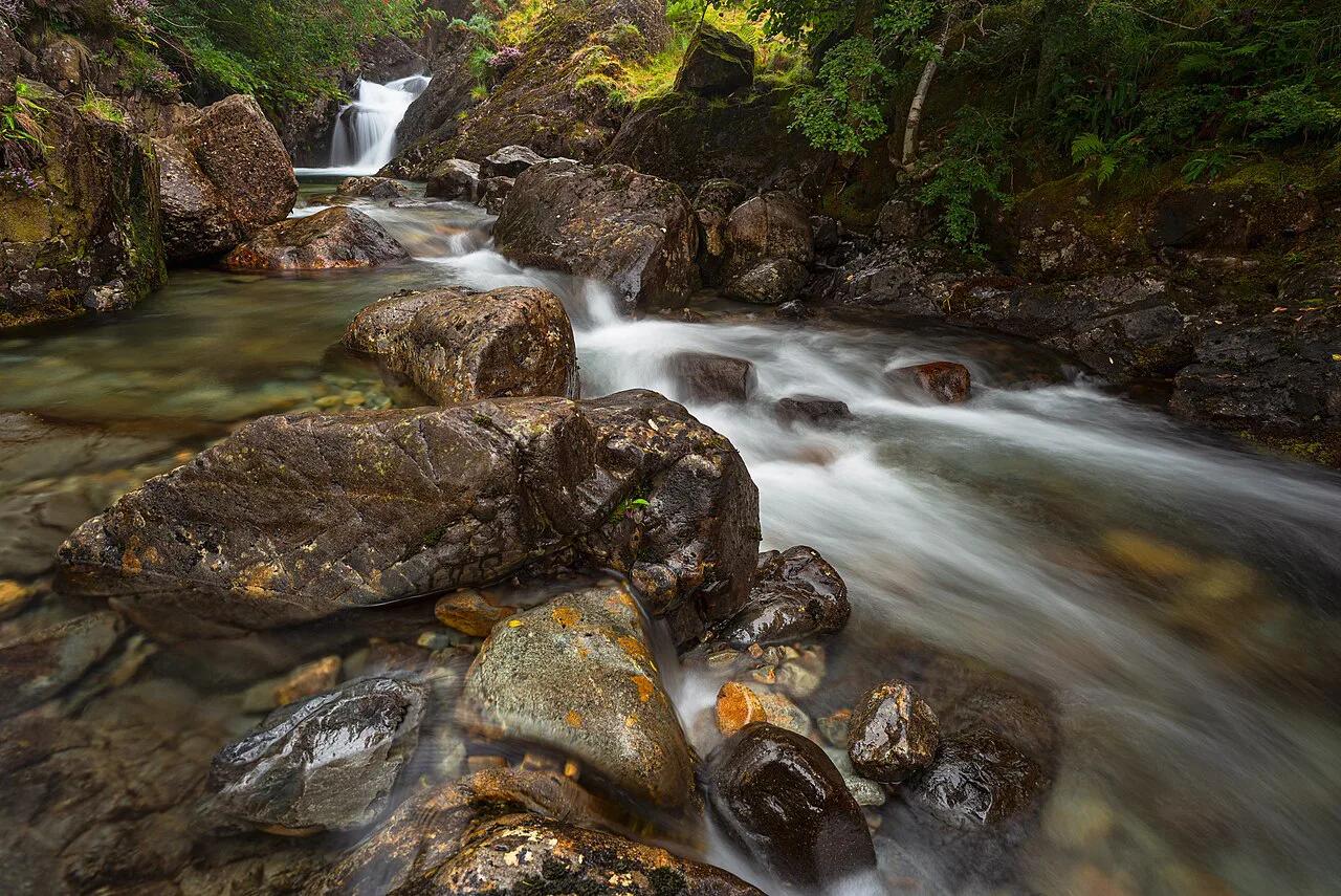
Featured image: Haydn Blackey, CC BY-SA 4.0, via Flickr.
Dartmoor at a Glance: What the Map Shows
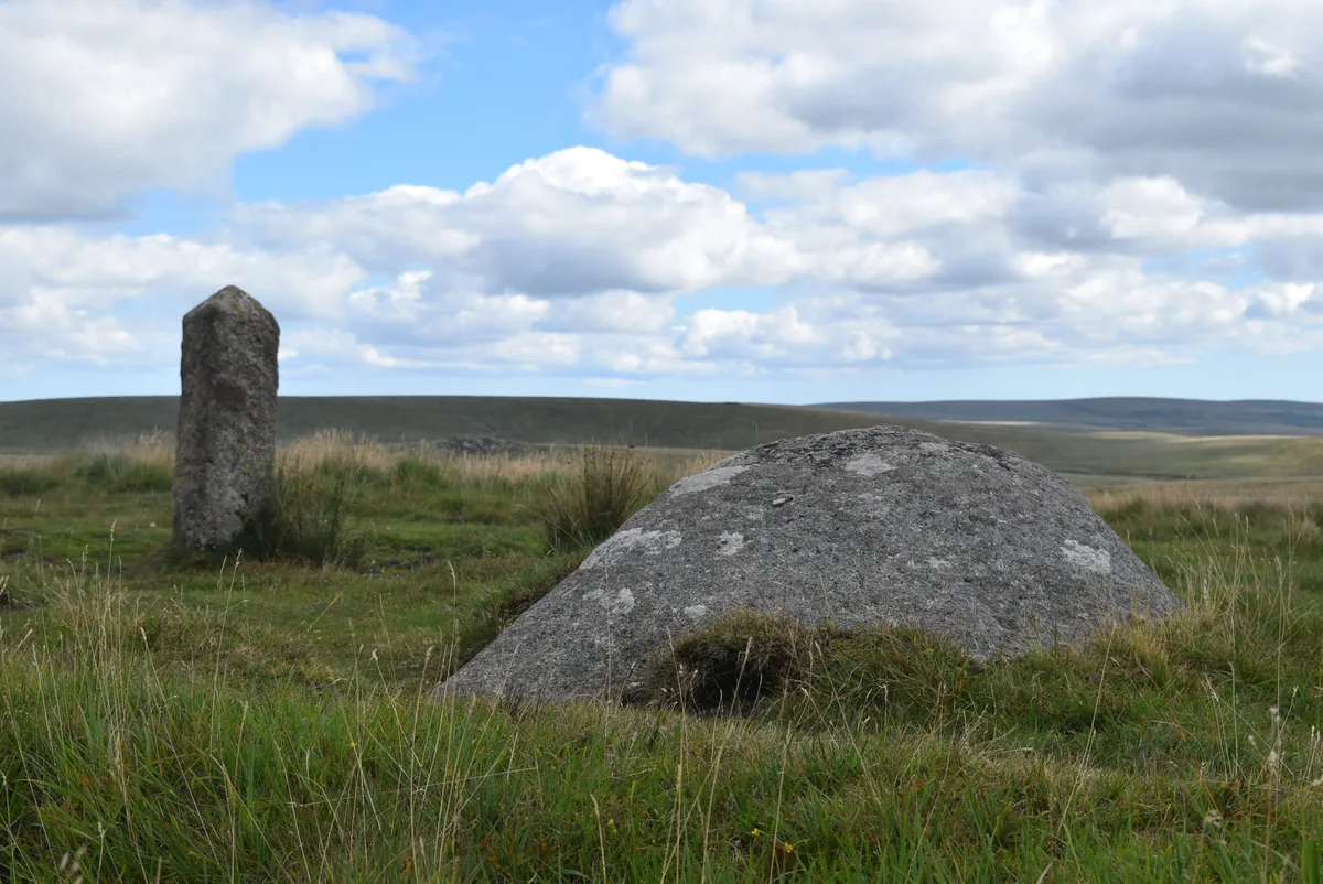
Dartmoor is an upland national park in Devon. Its boundary is officially defined, and it is registered under the Office for National Statistics reference E26000001 on the national planning dataset. A visitor map shows that boundary, the main roads, the villages and the car parks. It also marks tors, bridges and visitor centres. Open moorland sits between those points, and there are few roads across it. That is why the choice of map matters more here than in a town or a lowland park.
- Overview map: good for choosing a base, planning a drive and linking villages.
- Detailed walking map: needed for any route that leaves the road.
- Phone app: handy for checking your position, but not a replacement for paper.
Dartmoor Map by Area
Think of the moor in zones rather than coordinates. This table places the main stops covered in our guides. Check the road layout on your own map before you drive, because lanes are narrow and many are unsigned.
| Area | Key stops | Best for | Access note |
|---|---|---|---|
| Central and high moor | Princetown and the prison landmark | Landmarks, a base for moor walks | Exposed ground; weather changes quickly |
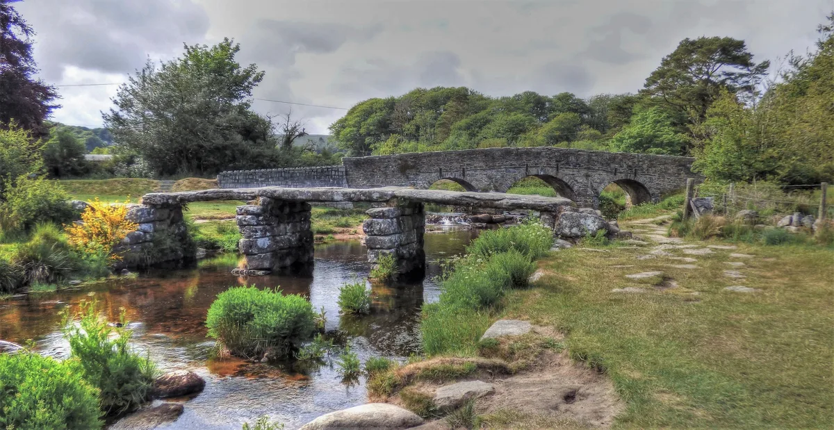
| Central moor | Postbridge Clapper Bridge: Visiting Guide, Access & Nearby Walks | Short stops and gentle riverside walks | Easy roadside stop; check parking on the day |
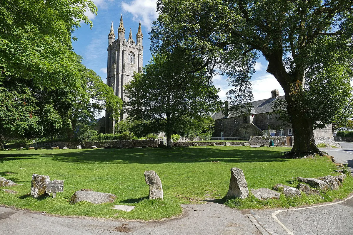
| East and south-east | Widecombe-in-the-Moor | A village visit and a scenic drive | Lanes are narrow; allow extra driving time |
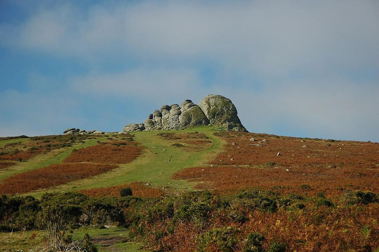
| Across the moor | Dartmoor Tors: Best Tors to Visit, Access and Map | Walkers with navigation skills | Remote tors need a detailed map and clear visibility |
Which Map Should You Use?
The right map depends on the job. For open-moor walking, the Ordnance Survey Explorer OL28 Dartmoor sheet is the standard choice. The Dartmoor National Park Authority also publishes visitor maps and offers online mapping for planning. Phone signal can be patchy on the moor, so carry a paper backup and check the authority's safety guidance before a longer walk.
| Map type | Best for | Reliability | Effort |
|---|---|---|---|
| OS Explorer OL28 (paper) | Open-moor walking, tor routes | High; works without signal | Medium: you need basic map reading |
| National park visitor map | Car touring, village stops, short strolls | High for roads and sights, limited for walking detail | Low |
| Phone or GPS app | Checking your position, planning at home | Depends on battery and signal | Low to medium |
- Mistake to avoid: relying on a phone alone in fog, on remote ground or in low signal.
- Mistake to avoid: setting off for a remote tor with only a road map.
Key Sights to Pin on Your Map
Mark these before you go, then add your own stops from the Explorer sheet.
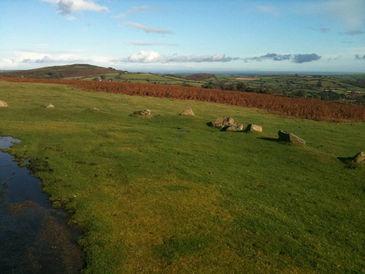
- Tors: rock outcrops on the high ground. Pick one close to a car park first, and save remote ones for clear days.
- Postbridge Clapper Bridge: Visiting Guide, Access & Nearby Walks: a stone-slab crossing on the central moor. It works as a short, easy stop.
- Princetown: a high-moor settlement and a useful orientation point. Dartmoor Prison: Can You Visit? Museum, History & Princetown Guide is a landmark here, and the prison museum site has visiting details.
- Widecombe-in-the-Moor: the village stop for the east and south-east.
- Dartmoor Ponies: Where to See Them and How to Act: they graze freely across the moor, so you can meet them on any road or path. The Dartmoor Pony Heritage Trust explains their role.
Getting Around and Where to Stay
Driving gives the most freedom, but it demands care on narrow lanes. Public transport is limited away from the main towns, so plan any bus or rail journey before you set out. Visit Dartmoor lists visitor centres and local information. Choose a base by the area you want to explore. Princetown suits the high moor, and villages on the edge suit shorter drives. Our guide to Hotels in Dartmoor: Where to Stay by Base & Budget compares places to stay.
Safety, Access and Weather
Parts of the moor are used for military training. Check the official Dartmoor firing programme before any walk, and never rely on remembered times. Ponies and livestock roam freely, so keep your distance and never feed them. Weather can turn fast on high ground, and fog is a real navigation risk. Read our Dartmoor weather guide and check the Met Office forecast on the day. Beginners without navigation skills should avoid remote tors in poor visibility.
Fog is a real navigation risk on high ground. Carry the paper OL28 Dartmoor sheet on tor walks, because it works without signal.
Sample Routes by Time Available
These skeletons use the map zones above. Work out timings from your own map and the daylight you have.
- Half day: a drive to Postbridge for the clapper bridge, with one short riverside walk.
- Full day: Princetown and the high moor in the morning, then Widecombe-in-the-Moor in the afternoon.
- Weekend: add a tor walk on day 2, using the OL28 sheet and a clear forecast.
- Effort levels: a scenic drive is low, village and bridge stops are low to medium, and tor walks are medium to high.
Frequently Asked Questions
Are there mountains in Dartmoor?
Dartmoor is high moorland dotted with tors rather than a mountain range. Use the OL28 sheet to read the terrain, and treat exposed ground with the same care as upland walking.
Notes for your next park visit
Optional updates to our national park guides.
Read next
Keep planning
Picked from the same area