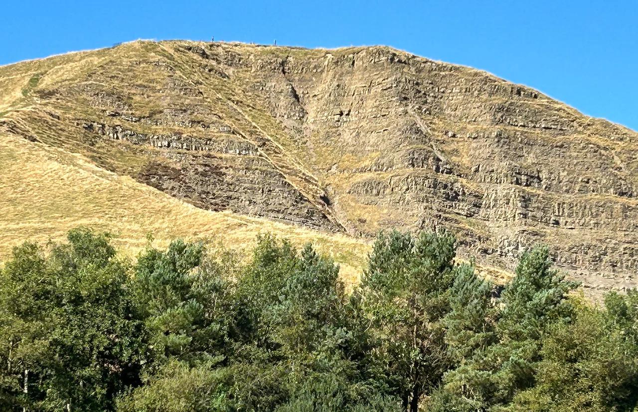
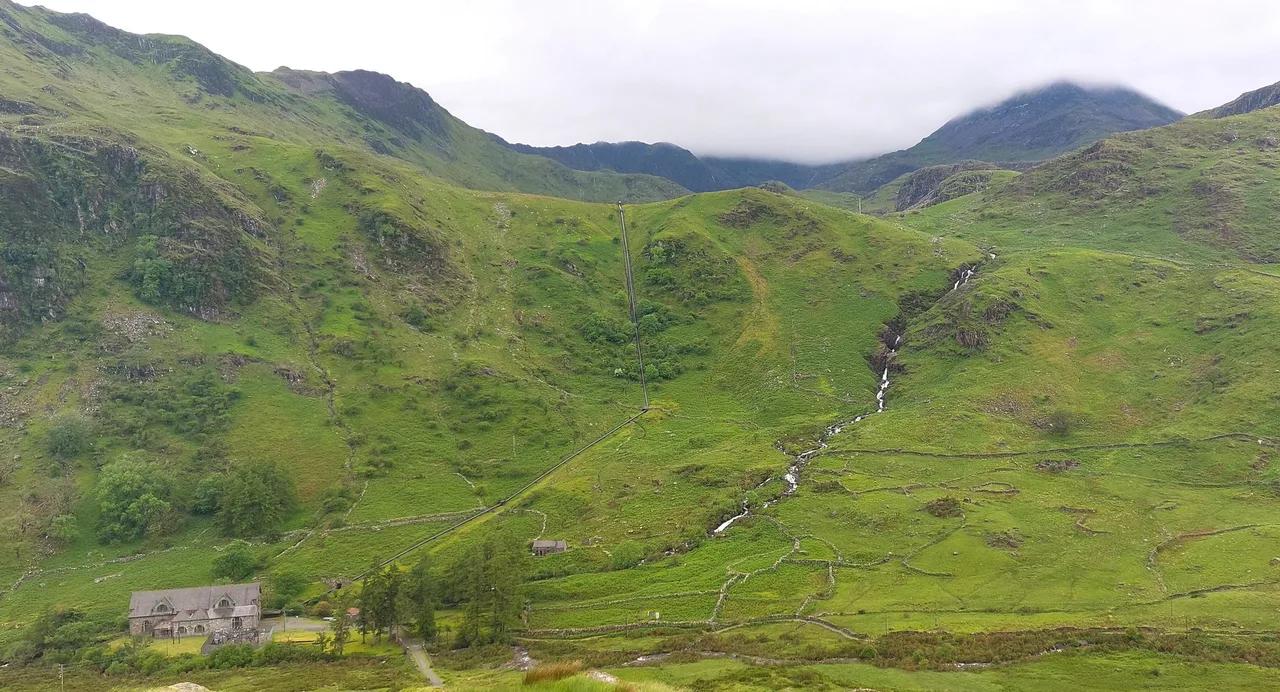
Exmoor National Park Guide: Where to Go, How Long to Stay
Plan Exmoor National Park with a zone-by-zone guide to the best places, trip length, parking, getting around and where to stay.

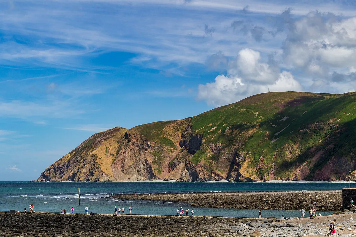
Last updated November 2026: Exmoor National Park covers parts of Somerset and North Devon in South West England, where moorland meets sea cliffs and wooded river valleys. It is one of the UK's smaller national parks, so one trip can take in a lot. Our guide splits it into three zones and shows what to see in a day, a weekend or 4 days.
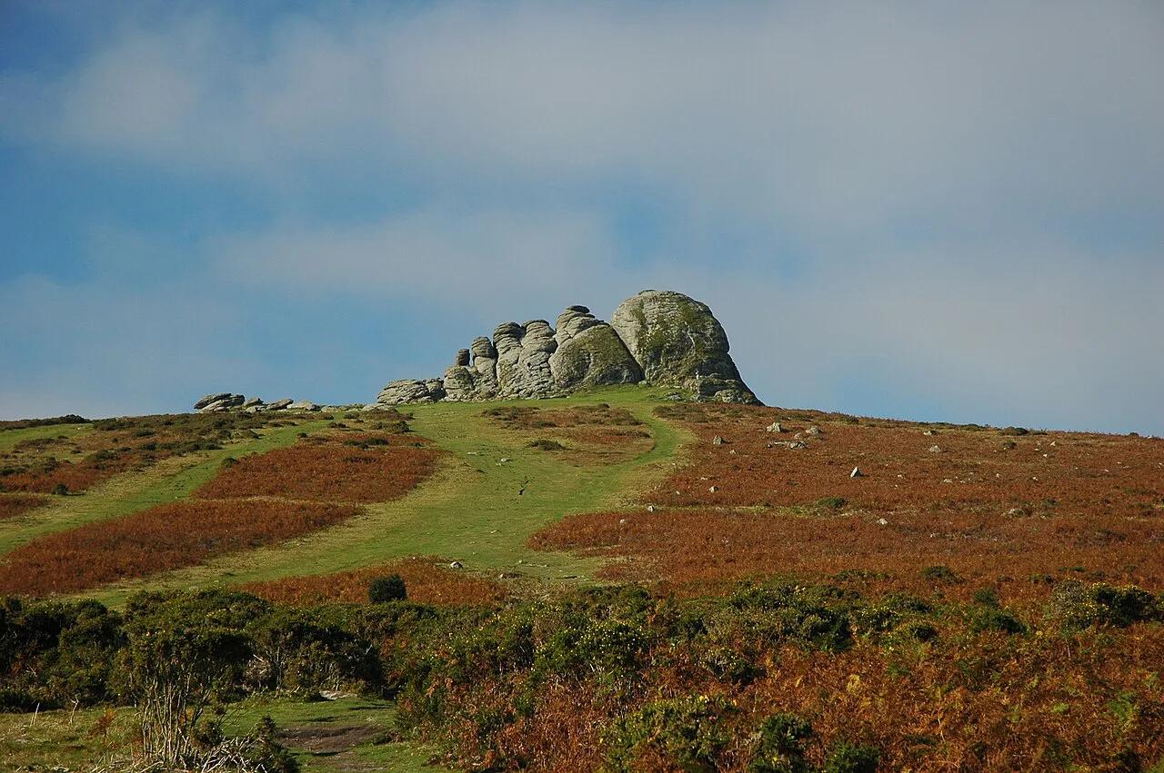
Featured image: john shortland, CC BY 2.0, via Flickr.
Exmoor National Park at a glance
Exmoor is one of the National Parks in England: Full List and How to Choose, and entering the park itself costs nothing. Some car parks and sites inside it do charge. Walkers, coastal drivers and photographers get the most from it. Visitors who want nightlife or fast public transport will find it hard going. Four days is enough to cover all three zones.
- Location: Somerset and North Devon, South West England
- Highest point: Dunkery Beacon, at 519 m
- Landscape: heather moor, sea cliffs, ancient woodland and river valleys
- Best for: walkers, scenic drivers, photographers and families who like short outdoor walks
- Time needed: one zone for a day trip, all three zones in 4 days
Best places to visit in Exmoor, by area
Plan by zone rather than by a flat list of sights. Each zone has its own base town and its own pace. Driving between zones takes time on narrow roads, so use a mapping service for current journey times.
- North coast (base: Lynton and Lynmouth): Valley of Rocks, Watersmeet, Porlock Weir and the South West Coast Path. Best for sea views and short walks.
- High moor and east (base: Exford or Dunster): Dunkery Beacon, Dunster and open moorland. Best for big views and history.
- South and west valleys (base: Dulverton): Tarr Steps and the River Barle. Best for riverside walking and quieter lanes.
North coast: Lynton, Lynmouth and the Valley of Rocks

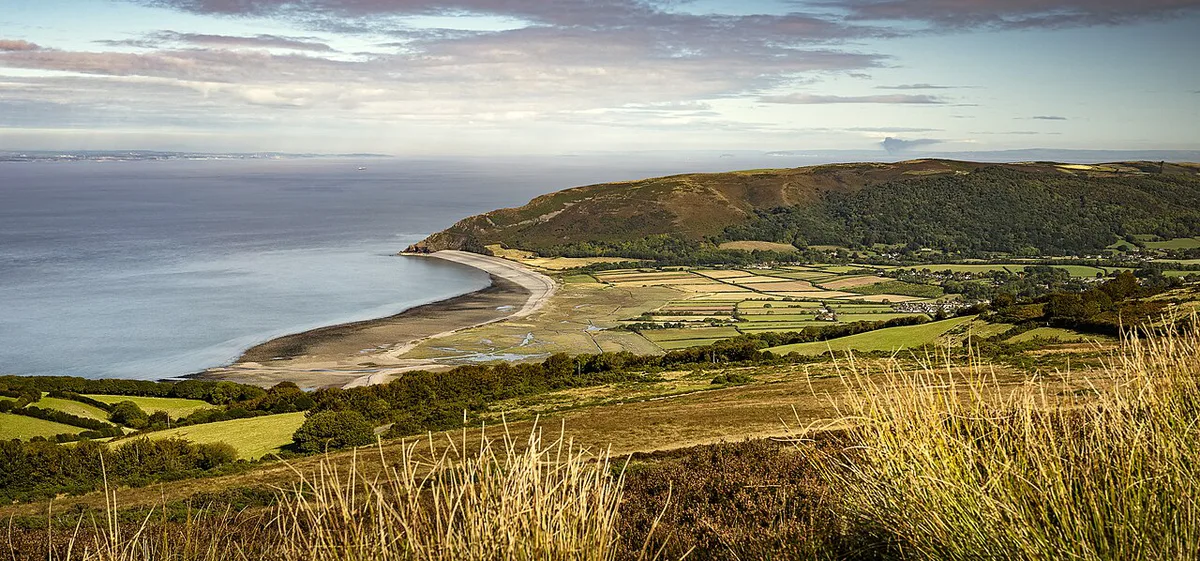
Lynton sits high on the cliffs and Lynmouth sits at sea level around its harbour. A Victorian cliff railway links the two towns. From here you can join the South West Coast Path for coastal walks. Check the railway operator for its current season and hours before planning around it. Watersmeet is a National Trust site where two rivers meet in a wooded gorge. Its short, easy trail passes waterfalls and ends at a tea house in a 19th century fishing lodge. Porlock Weir is a small harbour hamlet. A challenging circular walk from here reaches Culbone Church, described as England's smallest parish church. Tides affect the harbours at Lynmouth and Porlock Weir, so look up tide times before you walk the shore.
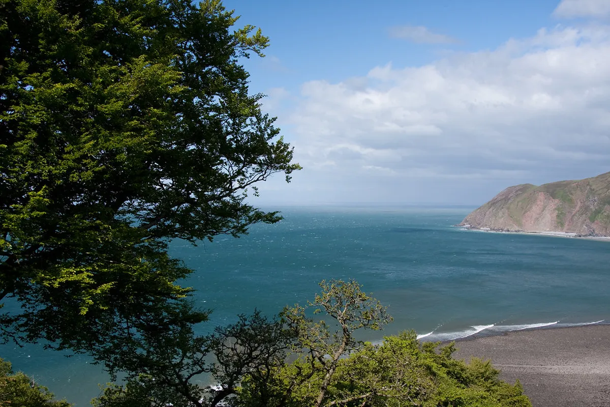
- Valley of Rocks, time: a short walk or drive from Lynton, with room for a longer cliff walk if you have the morning.
- Valley of Rocks, features: towering rock formations, rugged cliffs and feral goats.
- Valley of Rocks, access: reached on foot or by car from Lynton. Check current parking charges on arrival.
- Valley of Rocks, best fit: photographers, walkers and families who want big scenery with little effort.
High moor and east: Dunkery Beacon and Dunster
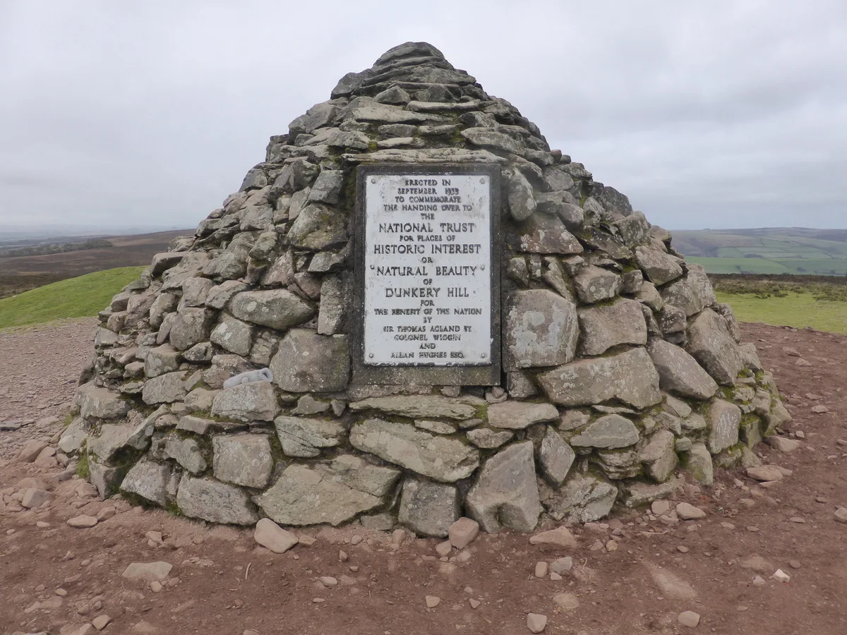
Dunkery Beacon is the highest point in the park, at 519 m. On a clear day the view runs across the moor towards Wales. Park at Dunkery Hill Gate for a short, steep path to the Bronze Age cairn. Longer moorland routes also reach the summit. Dunster is a medieval village dominated by Dunster Castle, a 13th century fortress with gardens. Nearby you can see the Yarn Market, the Tithe Barn and Gallox Bridge. Exmoor ponies graze the open moorland, so keep dogs under control and do not feed them.
South and west valleys: Tarr Steps and Dulverton
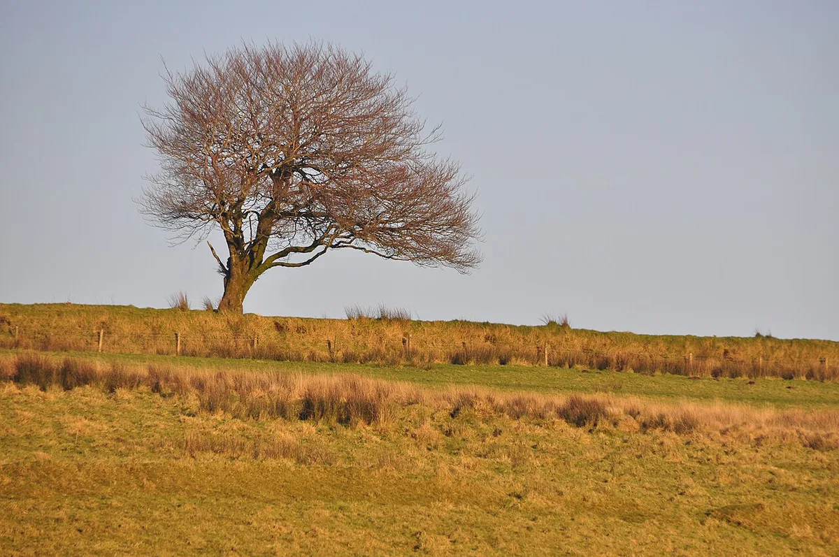
Tarr Steps is a 17 m clapper bridge over the River Barle. Use the National Trust car park and walk down to the river. A riverside path continues beyond the bridge, and Tarr Farm Inn serves cream teas nearby. The next bridge along was reported closed for renovation, which ruled out the circular walk. Ask the park authority whether the loop has reopened before you plan it. Dulverton is a market town with independent shops and cafés. It also houses the Exmoor National Park Centre, which makes it a sensible first stop for walking advice.
- Tarr Steps, time: allow about an hour for the bridge and a riverside stroll, more for a longer walk.
- Tarr Steps, access: a short walk down from the National Trust car park.
- Tarr Steps, best fit: families, photographers and anyone who wants an easy riverside walk.
Quick comparison: which stops fit which visitor
Use this table to choose between the eight main stops. Pick the access level that suits your group.

| Place | Best for | Access | Notes |
|---|---|---|---|
| Dunkery Beacon | Views and a Bronze Age cairn | Short, steep path from Dunkery Hill Gate | Skip in poor visibility |
| Tarr Steps | Easy river walk | Short walk from the National Trust car park | Circular walk status needs checking |
| Dulverton | Planning and shopping | In town | Home to the National Park Centre |
| Porlock Weir | Harbour and Culbone Church walk | Coastal hamlet; the church walk is challenging | Tides affect the harbour |
| Dunster | History and castle visits | In village | Castle, Yarn Market, Tithe Barn |
| Lynton and Lynmouth | Coast and cliff railway | Twin towns joined by the railway | Gateway to the South West Coast Path |
| Valley of Rocks | Cliff scenery and feral goats | Short walk or drive from Lynton | Good for photographers |
| Watersmeet | Woodland and waterfalls | Easy, short walk | National Trust tea house |
How long to spend in Exmoor
Match the plan to your time. This itinerary framework keeps each day to a realistic amount of driving.
- Day trip: stay in one zone only. The north coast works best, with Lynton, Valley of Rocks and Watersmeet.
- Weekend: pair two zones. Add Dunkery Beacon and Dunster to the north coast.
- 4 days: cover all three zones. Spend one day each on the coast, the high moor, and the south and west valleys, with a flexible fourth day.
- Short on time: drop Dulverton and Culbone Church first, and keep the coast and Dunkery Beacon.
Getting there and getting around Exmoor
A car makes Exmoor far easier, because public transport is limited and changes by season. Check Traveline South West and the local bus operators for current routes. Without a car, base yourself in Lynton and Lynmouth and use the cliff railway and the coast path on foot. Roads are narrow, and steep in places on the coast. Do not trust satnav down tiny lanes. Download offline maps before you set off, and top up fuel and cash in the larger towns.
Costs, parking and opening hours
No current prices are quoted here because charges change. Check the National Trust and the cliff railway operator for current parking charges, tickets and hours.
Where to stay in Exmoor
Choose a base by zone. Villages are small, so book early for summer weekends.
A plan of 4 days covers all three zones, but each zone has its own base town, so consider changing bases partway through.
- Lynton and Lynmouth: best for first-timers, with the cliff railway, restaurants and coast path access.
- Porlock and Porlock Weir: best for harbour walks and a quieter coastal stay.
- Dunster: best for history lovers and a village base.
- Exford: a central moorland base for day trips to every zone.
- Dulverton: best for the south and west valleys and the National Park Centre.

When to visit Exmoor
Late spring to early autumn gives the longest days and the easiest access. Summer middays are busiest at the main stops, so arrive early. Autumn brings colour to the wooded valleys such as Watersmeet. Winter is quieter but weather can close you in on the high moor. Operating seasons for the cliff railway and other attractions vary, so check before you travel. For stargazing and heather bloom timing, ask the park authority for current guidance. Each year the national parks website also lists general visitor advice.
Common mistakes to avoid
Most problems come from over-ambition or poor planning.
- Trying to cover the whole park in one day.
- Relying on satnav through narrow lanes.
- Visiting popular stops at midday in summer.
- Planning only moorland in poor visibility. Use sheltered woodland at Watersmeet instead.
- Assuming fuel, food and cash are available everywhere.
How Exmoor compares with other UK parks
If you like moorland that ends at the sea, North York Moors offers a similar mix. For another southern England park, try the New Forest. The South Downs offers chalk hills and downland. For cliffs and beaches in Wales, see Pembrokeshire's coast. For upland walking, see the Brecon Beacons. Our ranking of UK parks helps you choose between them.
For the wider city context, see our complete tourism attractions guide.
Frequently Asked Questions
What is special about Exmoor National Park?
Exmoor packs moorland, sea cliffs and wooded river valleys into one of the UK's smaller national parks. You can see Dunkery Beacon, Tarr Steps and the Valley of Rocks within a few days.
What is the highest peak on Exmoor?
Dunkery Beacon is the highest point in Exmoor National Park, at 519 m. A short, steep path from Dunkery Hill Gate car park leads to its Bronze Age cairn.
Notes for your next park visit
Optional updates to our national park guides.
Read next

Keep planning
Picked from the same area