Pembrokeshire Coast National Park: Plan Your Visit
Plan a trip to Pembrokeshire Coast National Park: where to go, how long to stay, the coast path, wildlife, getting around and what to avoid.
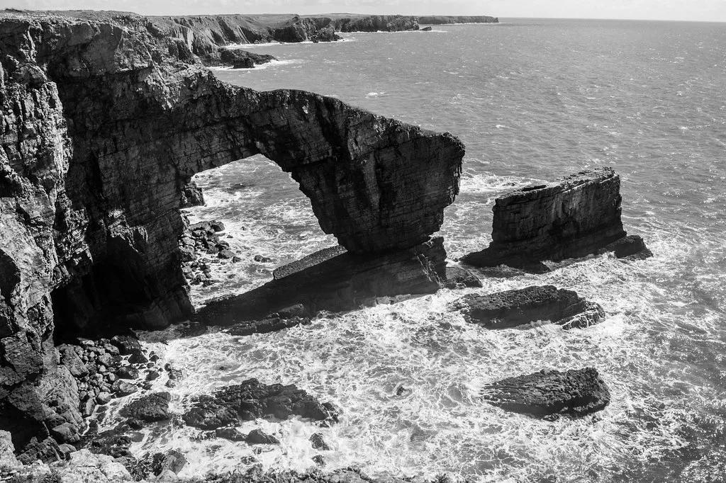
Last updated November 2026. Pembrokeshire Coast National Park runs along the south-west tip of Wales and is built around cliffs, beaches, islands and a long-distance coast path. Most visitors come to walk sections of the path, watch seabirds and seals, and base themselves in St Davids, Tenby or Fishguard. Three to four days covers the main coast without rushing.
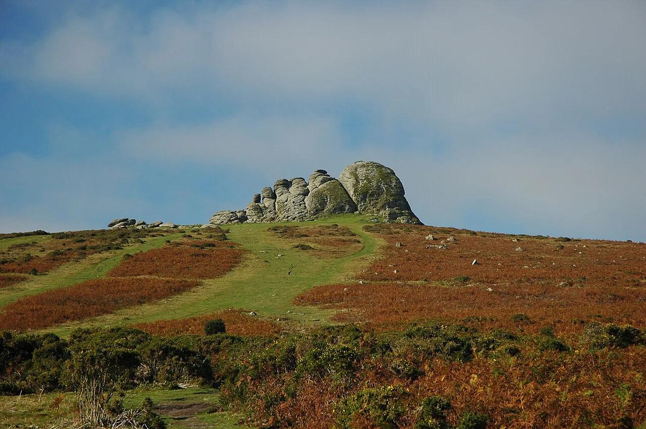
Featured image: dolbinator1000, CC BY 2.0, via Flickr.
Pembrokeshire Coast National Park at a glance
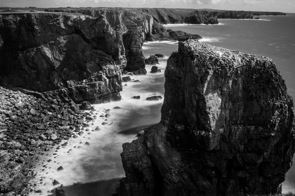
Designated in 1952, this is a mostly coastal national park. It is long and narrow rather than a single block of land. You will not tour it in one loop, because the coast stretches along many separate bays, headlands and towns. Park size figures vary between sources, so use the park authority's own pages for current area and coastline lengths. Most people treat the park as a series of bases and day trips. The coast path ties those bases together.
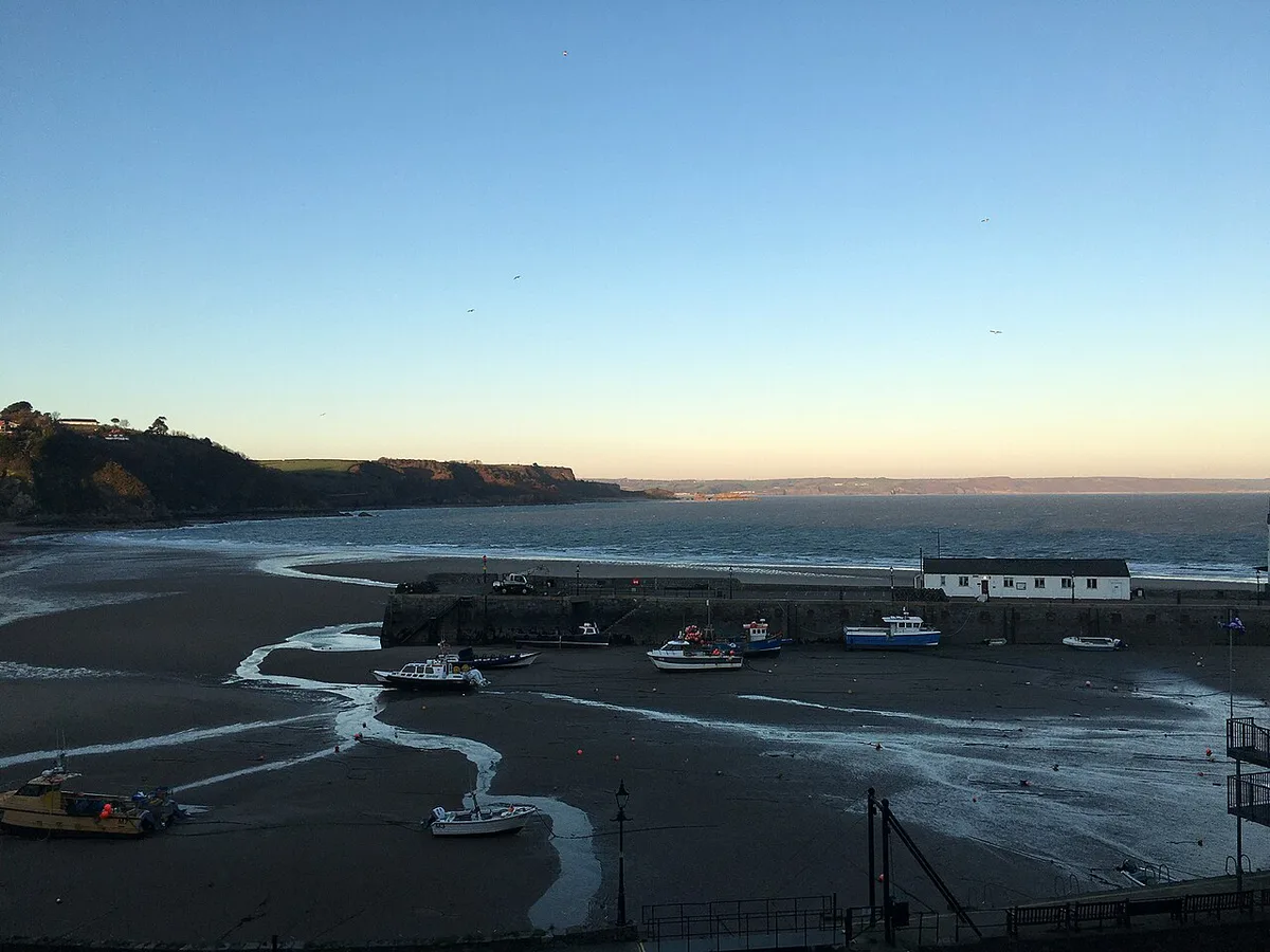
- Known for: the coast path, beaches, seabirds, seals, St Davids and its cathedral
- Main bases named in this guide: St Davids, Tenby, Fishguard and Manorbier
- Inland highlight: the Preseli Hills
- Official path length: about 186 miles along the Pembrokeshire Coast Path National Trail
- Best-fit trip: 3–4 days for a first visit
Best areas for each kind of traveller
Pick a base by what you want from the coast, not by distance on the map. Each area below trades something for what it offers. Tourism details for each town are on Visit Pembrokeshire.
| Area | Best for | Getting around | Trade-off |
|---|---|---|---|
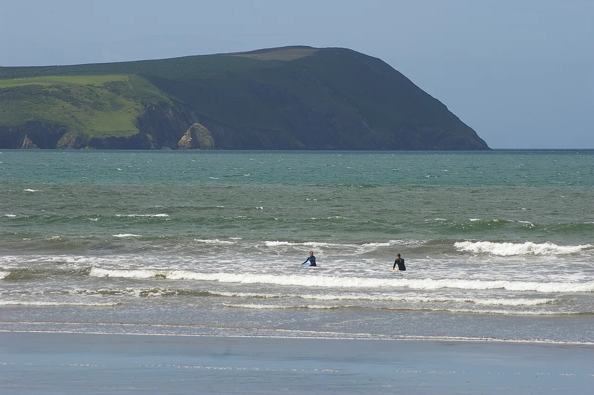
| St Davids | Cathedral, coast walks, wildlife trips | Walkable town, coast path on the edge | Busy in peak summer; limited late-night options |
| Tenby | Beach holidays, families, easy walks | Compact and walkable | Crowded on summer weekends |
| Fishguard | Quieter north coast, ferry-port access | Town walking, car for remote bays | Fewer big attractions |
| Manorbier | Castle, bay and cliff walks | Short coast-path sections | Small village; car helpful for other areas |
| Preseli Hills | Prehistoric landscapes, inland hiking | Car needed for most trailheads | Exposed in poor weather; away from the sea |
The Pembrokeshire Coast Path: how to approach it
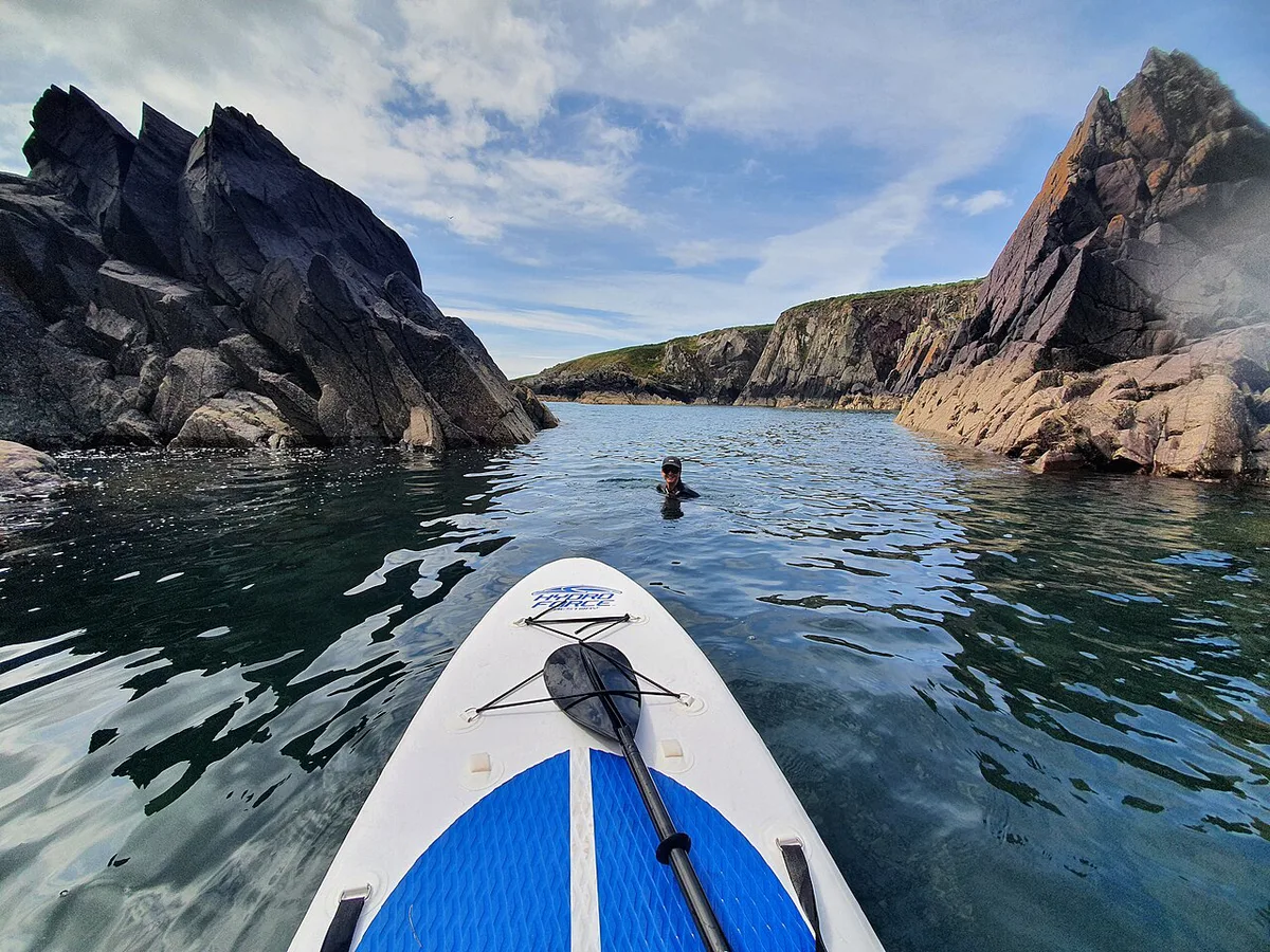
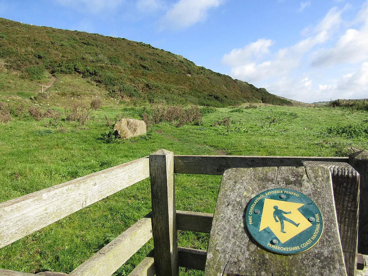
The Pembrokeshire Coast Path National Trail is about 186 miles long and follows cliff tops, beaches and estuaries. Most visitors walk day sections rather than the full route. A linear path means you must plan the return before you set off. Use buses, a taxi, a second car or an out-and-back walk. Cliff paths rise and fall repeatedly, so a short distance on the map can take much longer than it would on flat ground. Start with a coastal stretch near your base and judge your pace before committing to a longer day. Check the park authority for current path closures and diversions.
Over 3–4 days, a first visit covers a few sections of the 186 miles, so pick stretches near your base.
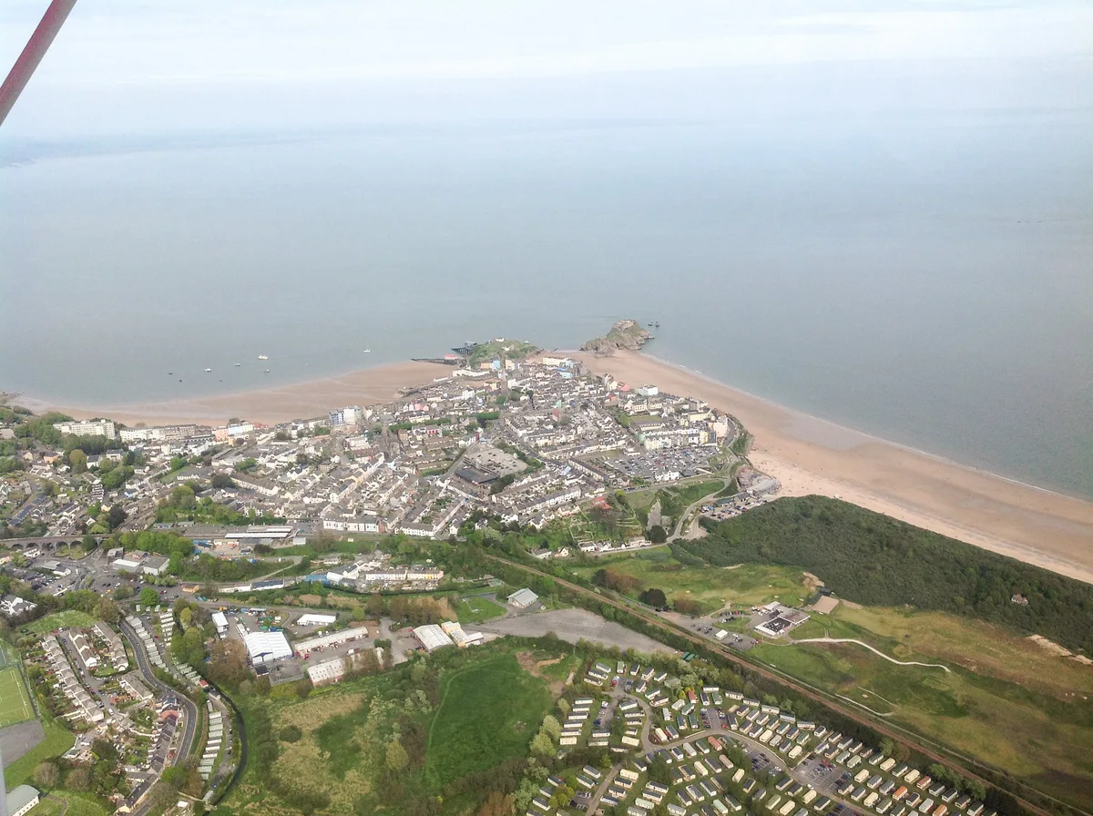
Day walks and coastal buses on the Pembrokeshire Coast Path
Because the path is linear, the practical question is how you get back to your start. Pembrokeshire runs seasonal coastal bus routes for this purpose, and these are the first thing to check when you plan a one-way walk without a second car.
- Poppit Rocket: links Cardigan, St Dogmaels and Poppit Sands at the northern end of the path.
- Strumble Shuttle: serves the north coast between Fishguard and St Davids, including the Strumble Head area.
- Celtic Coaster: works the St Davids peninsula, handy for St Davids Head and the nearby bays.
- Puffin Shuttle: connects St Davids with the Marloes peninsula and Martin's Haven, where the Skomer boats leave from.
Several of these run in the warmer months only, and routes and frequencies change from year to year. Confirm current timetables with Traveline Cymru or the Pembrokeshire coastal bus pages before you set off, and note the last bus back before you start walking.
Sections that suit a first visit
- St Davids Head: a headland loop close to St Davids with sea views and ancient remains.
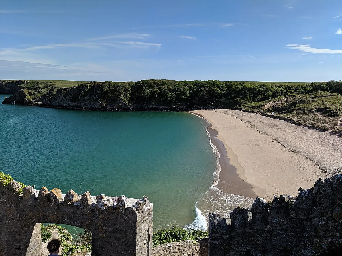
- Stackpole to Barafundle Bay: a southern stretch of cliffs and sandy bays, within reach of Manorbier and Tenby.
- Tenby to Saundersfoot: an easier shoreline section for a gentle first day.
- Strumble Head: the lighthouse and cliffs near Fishguard, good for a quieter north-coast outing.
Choose a section that matches your fitness, since the ups and downs add up quickly. If the bus does not fit your plan, an out-and-back walk to a bay and a turnaround point works just as well.
Wildlife and seasons
The coast is known for grey seals, porpoises, dolphins and seabirds such as puffins, gannets and razorbills. Seabirds nest on cliffs and islands, so timing matters more than location. Seal and bird sightings depend on season and conditions, and nothing is guaranteed. Island landings and boat trips run to their own schedules, so book directly with the operator. Wildlife trusts and the park authority publish current seasonal advice. Keep dogs under control near nesting cliffs and keep well back from seals on beaches.
History and culture stops
St Davids Cathedral is the main cultural stop, and St Davids is often described as the UK's smallest city. Allow a half day for the cathedral and the town. Medieval castles dot the coast, including the one at Manorbier, and each needs about one to two hours. Prehistoric burial chambers and Iron Age hillforts sit along the coast and in the Preseli Hills. Pair these with a nearby walk so a sightseeing stop also becomes a coastal outing. The cathedral and Cadw each publish their current opening times.
How long to stay and sample plans
Trip length decides how much of the coast you can enjoy. A single day gives you one town and one coast section. Three to four days lets you combine two bases, a headland walk and one wildlife outing. A week allows a slower pace, a bad-weather day and some inland time.
- One day: St Davids plus a short coast walk
- 3–4 days: St Davids and one southern base such as Tenby or Manorbier
- One week: add Fishguard and the Preseli Hills, and leave a buffer for weather
Getting there and getting around
A car makes the park far easier, especially for remote bays and the Preseli Hills. Without a car, plan around the towns and the coast path, and check current bus and rail options on Traveline Cymru. Remote bays often have limited parking, so arrive early on summer days. Use the official visitor information for transport options and local advice. Do not try to cover the whole park from one base in a day.
Costs, booking and where to base yourself
The park itself is an open landscape, and you can walk much of the coast path without a ticket. Parking, boat trips, island access and accommodation are the main costs, and rates change each year. Book accommodation early for summer weekends in Tenby and St Davids. Choose a base for its trade-off. St Davids suits walkers and history. Tenby suits beaches and families. Fishguard and Manorbier suit a quieter stay. Each operator and parking provider sets its own current rates.
Mistakes to avoid and who should skip it
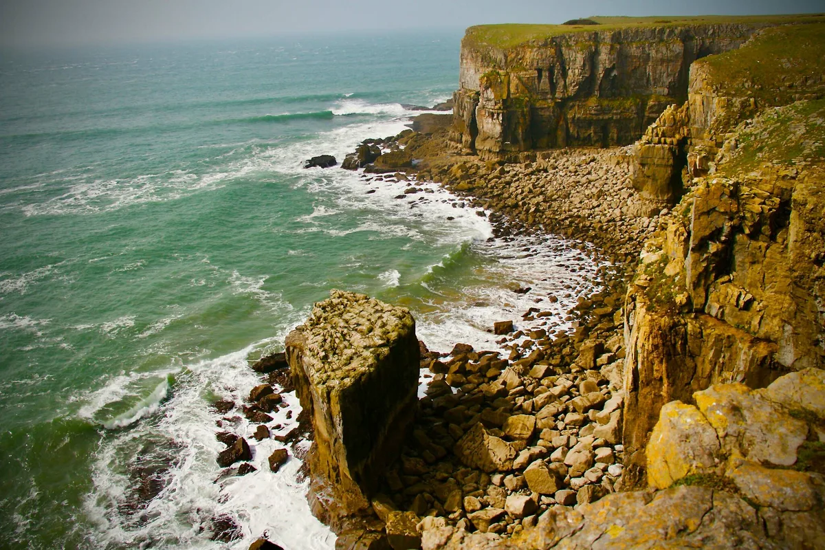
The common errors are underestimating cliff-top walking, ignoring tide and weather, and trying to see the whole coast in one day. Check the Met Office forecast and local tide times before beach or coastal walks. Stay back from cliff edges in wind and wet conditions.
- Skip if you want a single compact attraction with no walking
- Skip if you need fast public transport between remote bays
- Allow extra time for steep cliff sections
- Do not rely on phone signal for navigation on remote stretches
Other national parks to compare
For other Welsh options, see our guide to Welsh national parks. For an inland comparison, read about the Brecon Beacons. Coastal landscapes in England are covered in guides to the South Downs and Exmoor. Compare woodland and heath in the New Forest, or head north to Northumberland. For the wider picture, start with our overview of UK national parks. You can also browse our UK park rankings.
Frequently Asked Questions
What are the names of the national parks in Wales?
Wales has three national parks. They are Pembrokeshire Coast, Eryri (Snowdonia) and the Brecon Beacons (Bannau Brycheiniog).
What is Pembrokeshire famous for?
Pembrokeshire is known for its coast path, beaches, cliffs, seabirds and seals. St Davids and its cathedral are also major draws.
How long would it take to walk the Pembrokeshire coastal path?
The path is about 186 miles long. Most walkers split it into day sections over one to two weeks, depending on pace. Check the National Trail pages for suggested stages.
Notes for your next park visit
Optional updates to our national park guides.
Read next

Keep planning
Picked from the same area