
Vatnajökull Map: Park Zones, Roads & Access Guide
Understand Vatnajökull on a map: park zones, main sights, road access and how far apart the areas sit, so you can plan the right area for your trip.
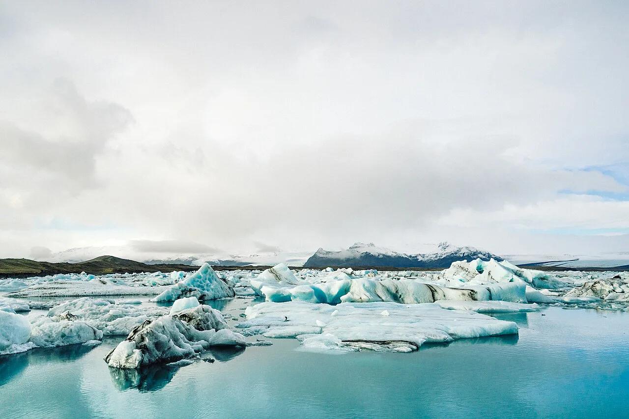
Last updated November 2026: a vatnajokull map shows one ice cap with a national park spread around it, split into separate access zones. Plan by zone, not by "the glacier", because the south, the north and the highlands are separate trips. Our Vatnajökull National Park guide covers the whole park, and this page explains how the pieces fit together on the ground.
Featured image: Adam Jang adamjang, CC0, via Wikimedia Commons.
Vatnajökull map: the quick answer
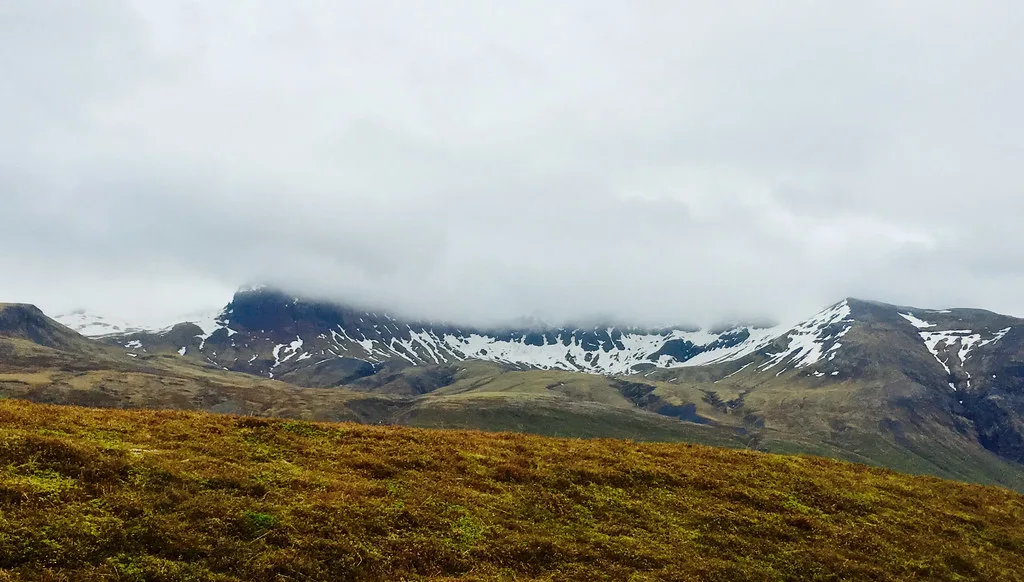
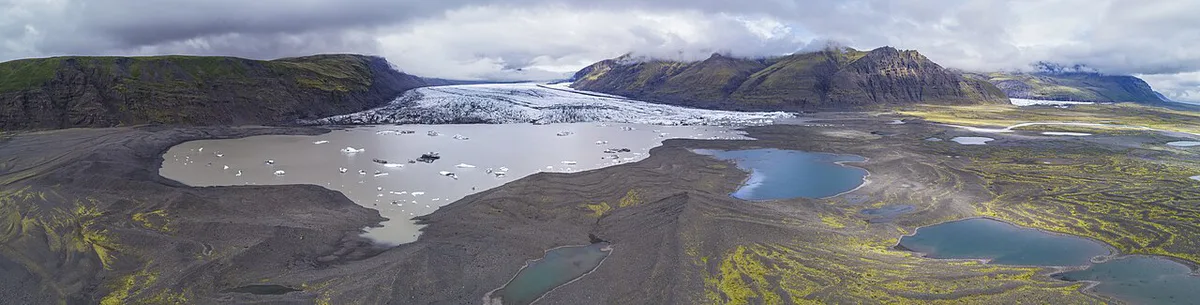
Vatnajökull is the ice cap. Vatnajökull National Park (Vatnajökulsþjóðgarður) is the protected area around it. The park is organized into four areas that visitors treat as separate destinations. Skaftafell sits on the south side. Jökulsárgljúfur is in the north. Askja is in the highlands, and Kverkfjöll is on the highland edge of the ice cap. Ring Road (Route 1) links the paved parts of the south, and the highland areas branch off it on gravel tracks. The official park site hosts the authoritative maps and visitor information, so use it for boundaries.
The four zones of Vatnajökull National Park
This table is a planning shortcut, not a substitute for a detailed map. Road types describe the general character of each area. Season windows change every year, so read the road section below before you commit.
| Zone | Key sights | Road type | Who it suits |
|---|---|---|---|
| South: Skaftafell | Skaftafell trails and Svartifoss | Paved, near Route 1 | First-time visitors and short stays |
| North: Jökulsárgljúfur | Dettifoss and Ásbyrgi | Mixed paved and gravel | Ring Road travelers with extra days |
| Highlands: Askja | Askja caldera | F-roads, 4x4 required | Experienced drivers in the summer window |
| Highland edge: Kverkfjöll | Kverkfjöll ice cap edge | F-roads, 4x4 required | Self-sufficient travelers with time |
- South: start with Skaftafell for trailheads and visitor services, then walk to Svartifoss.
- North: Dettifoss is the headline waterfall, and Ásbyrgi canyon is the sheltered counterpart.
- Highlands: Askja and Kverkfjöll are the deep-interior options.
- Highland add-on: Laki Craters (Lakagígar) Guide: F206, Trails, Is It Worth It is another remote route that depends on the same kind of road conditions.
How the zones connect: distance and driving time
The zones are far apart. You cannot sample them all in an afternoon, and the map's scale hides how long the connecting drives are. Look up the exact distances in your navigation app for your own start point. Use this rule to decide how much to attempt. Pick one zone if you have a short stay or no 4x4. Pick two zones if you can add days, and make the second one the north or a single highland route. Skip the idea of combining the south, the north and a highland route in one quick loop.
Roads, F-roads and seasonal access
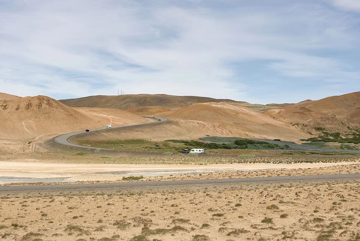
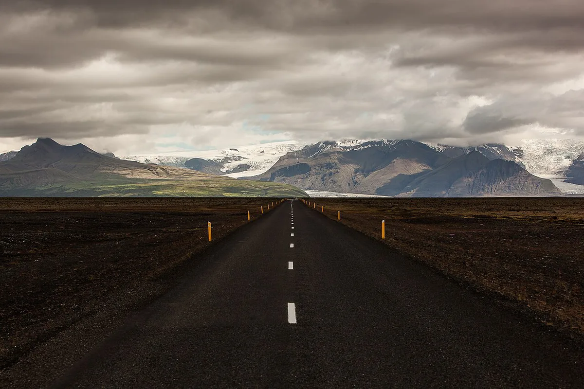
Paved roads serve Skaftafell and the Ring Road corridor. Highland routes to Askja and Kverkfjöll are F-roads, which are rough tracks that need a suitable 4x4. Rivers can run across them without bridges. Highland roads are seasonal, so they do not open on the same calendar as Ring Road sights. Read live status on road.is and on safetravel.is before you set out. Winter visitors should expect that northern and highland sites may be inaccessible.
Askja and Kverkfjöll both list 4x4 required, and the summer window is the only time Askja suits experienced drivers.
- Mistake to avoid: assuming a highland site opens and closes like a Ring Road stop.
- Mistake to avoid: treating a map line as proof that a road is passable.
- Mistake to avoid: walking onto glacier ice because the map shows a trail nearby.
Maps to download or use offline
Start with the official park map from the park authority, then add a road-conditions view from road.is. Download an offline area in your phone's map app before you leave mobile coverage. Signal is unreliable in remote areas, so do not rely on live navigation in the highlands. Carry a paper map as a backup if you drive an F-road. A map shows terrain but does not make glacier ground safe to walk on.
Costs, tickets and facilities
Expect costs in four categories: parking at popular sites, camping, vehicle rental suited to F-roads, and guided tours. Current fees are published by the park authority, and the figures change, so read them there rather than relying on a third-party list. Glacier hiking and ice caves require a licensed guide. Compare operators on our Vatnajökull tours page.
Where to base yourself
Base yourself by zone, not by the whole park. Stay near Skaftafell for the south, near the Jökulsárgljúfur area for Dettifoss and Ásbyrgi, and plan highland trips as separate multi-day efforts. Our park guide at Vatnajökull National Park lists the practical details for each area.
Frequently Asked Questions
Are there ice caves in Vatnajökull glacier in Iceland?
Yes, ice caves form in the glacier. They are unstable, so visit only with a licensed guide and follow the guide's route choices.
Can you show me a map of Iceland on Google Maps?
Search for Vatnajökull National Park in your map app and save the area offline. Remote highland stretches have poor signal, so load the offline area before you leave coverage.
Notes for your next park visit
Optional updates to our national park guides.
Read next

Keep planning
Picked from the same area