
Askja Caldera Guide: Getting There, Víti & Öskjuvatn
Plan a trip to Askja: how to get there, how long to allow, Víti and Öskjuvatn, where to stay, and when conditions make the highland road a no-go.
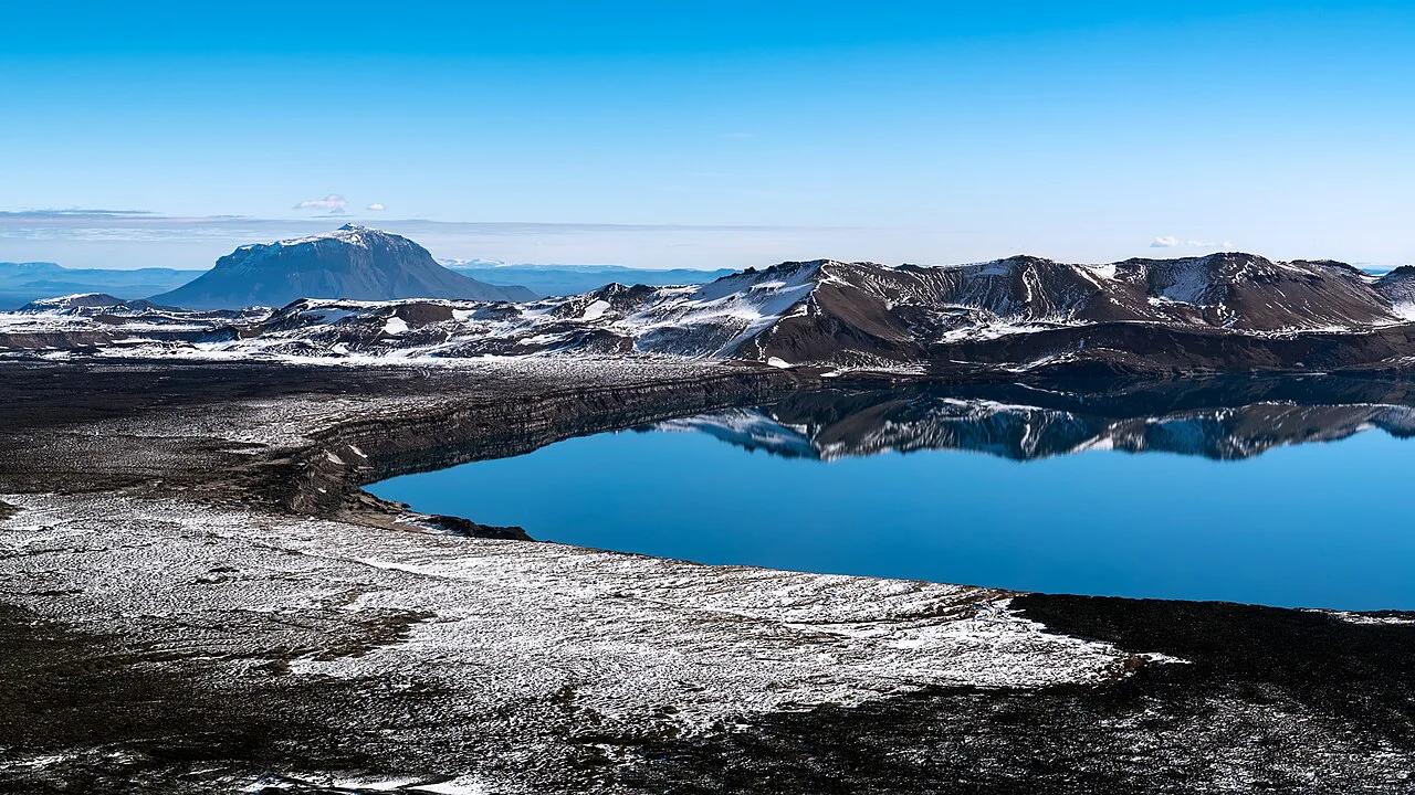
Last updated November 2026: askja is a caldera in the Dyngjufjöll mountains, in the highlands north of Vatnajökull, and it holds Öskjuvatn lake and Víti crater. It is a remote highland site reached by F-roads, not a roadside stop, and it is realistically a summer trip. This guide covers access choices, a realistic time budget, safety and where to sleep, alongside the wider Vatnajökull National Park region.
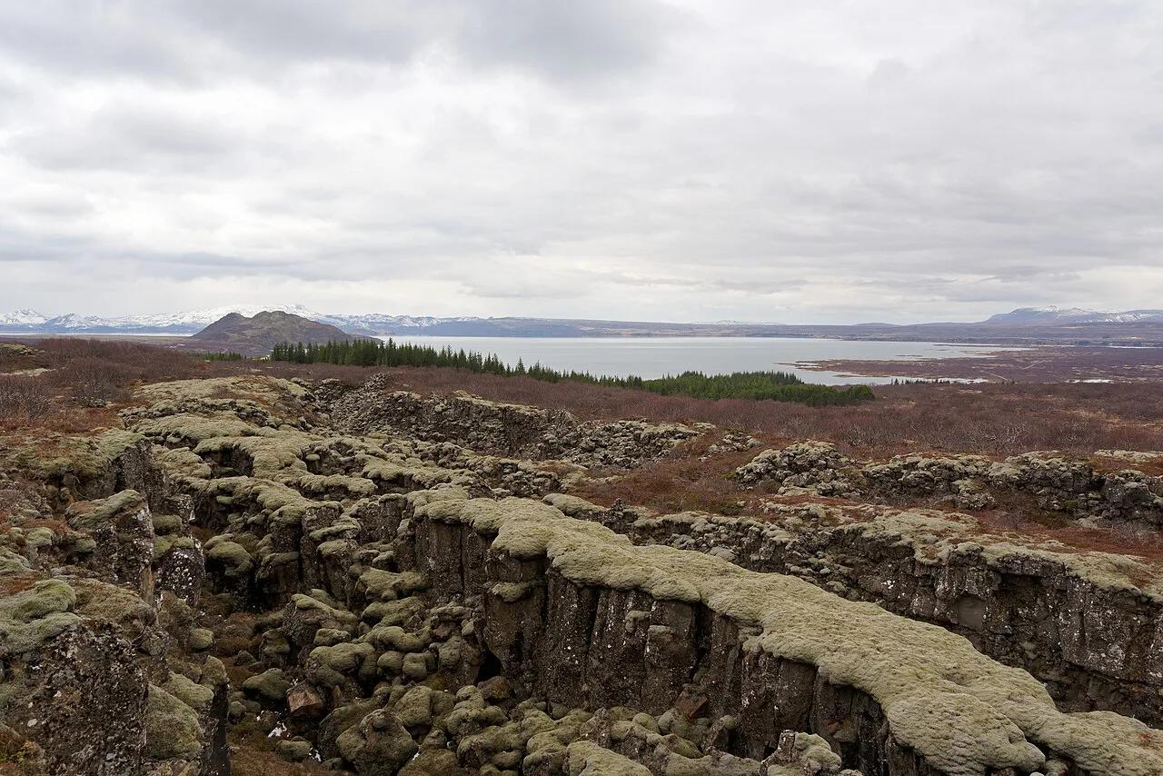
Featured image: Ilya Grigorik, CC BY-SA 3.0, via Wikimedia Commons.
Askja at a glance
Askja is a caldera, a sunken crater, inside the central volcano of the Dyngjufjöll mountains. Park authorities say the floor sits at about 1,100 m (3,600 ft) above sea level, while the rim runs from roughly 1,300 to 1,500 m (4,300 to 4,900 ft). Visiting is free, but you pay for fuel, a suitable 4x4 or a tour, and a bed or campsite. It suits travelers who are happy to spend a full day on rough highland tracks and who have flexible dates. It is a poor fit for a tight itinerary with no weather buffer.
- Location: Dyngjufjöll mountains, central Highlands, north of Vatnajökull.
- Main sights: Öskjuvatn lake and Víti crater.
- Last eruption: 1961, which formed the Vikrahraun lava field.
- Services: parking and toilets at Vikraborgir, plus summer rangers at Drekagil and Herðubreiðarlindir.
- Shops, restaurants and gas stations: none in the Askja area, according to the park authority.
How to get to Askja: self-drive, tour or hike
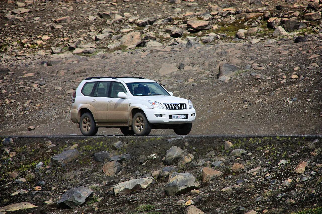
Askja lies on highland F-roads, and the F88 is the route most visitors use. Ordinary rental cars are not suitable, and river crossings are the driver's responsibility. Road status changes through the summer, so read the F-road notices from the Icelandic Road and Coastal Administration before you commit. Browse guided highland tours if you would rather hand the driving to someone else. The northern Vatnajökull map helps you place Askja relative to the park's other areas. The table compares the three realistic approaches.
| Option | Vehicle | River-crossing risk | Driving effort | Flexibility | Best for |
|---|---|---|---|---|---|
| Self-drive 4x4 | High-clearance 4x4 built for F-roads | You carry it, so check conditions first | High, with long gravel and rough sections | Full control of timing and stops | Experienced highland drivers with spare days |
| Super-jeep or guided tour | Operator's modified vehicle | Handled by the driver-guide | None for you | Fixed schedule, fixed stops | Short itineraries and first-time highland visitors |
| Base and hike from Drekagil | 4x4 to reach Dreki, then on foot | Only on the drive in | Front-loaded into arrival day | Several walks from one base | Travelers who want more than one day at Askja |
How long to allow at Askja
The park authority lists the walk from the Vikraborgir parking lot to Öskjuvatn at 2.5 km (1.6 miles) and 2 hours, rated easy. That is the figure behind the common "2–3 hours" estimate. It describes time on foot only, not the highland drive. From Mývatn the trip becomes a full day once you add the drive in, the drive out and a stop at Víti. A quick visit means parking at Vikraborgir, walking to the lake and heading back. A full day adds the Víti detour and a slow look at the caldera floor. Leave a weather buffer, because wind, rain or cold can shorten the stay.
- Quick visit: Vikraborgir parking to Öskjuvatn and back, about 2 hours on foot by the park's estimate.
- Full day: add the walk from Dreki toward Víti, listed at 8 km (5 miles) for the Dreki–Dyngjufjöll–Víti route.
- Overnight: stay at Dreki and walk in the evening or early morning.
What to see: Öskjuvatn and Víti
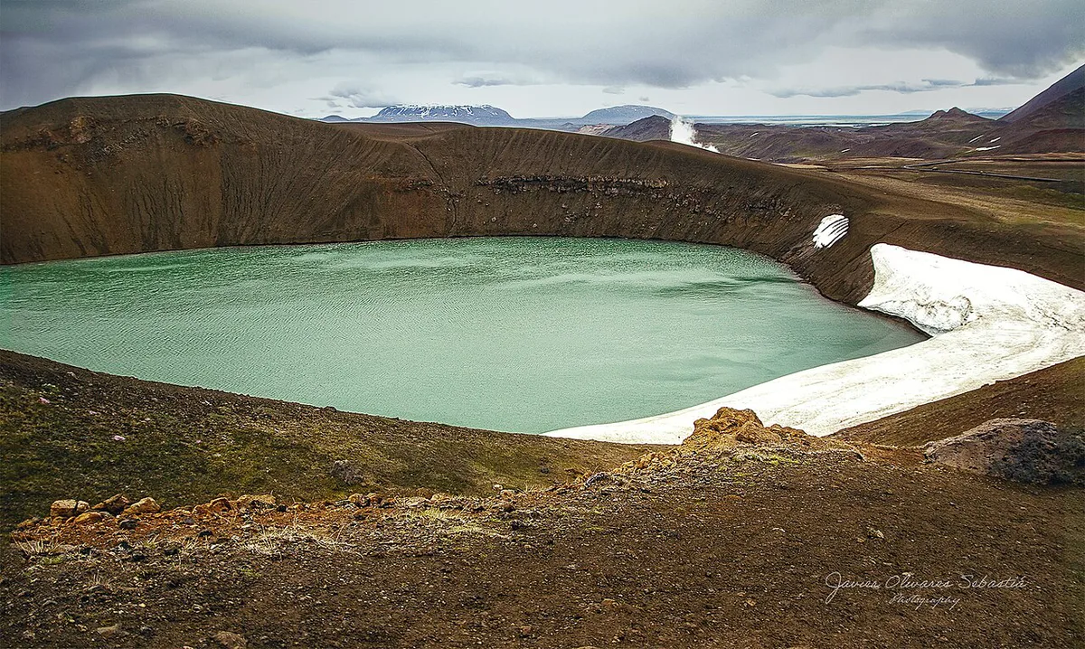
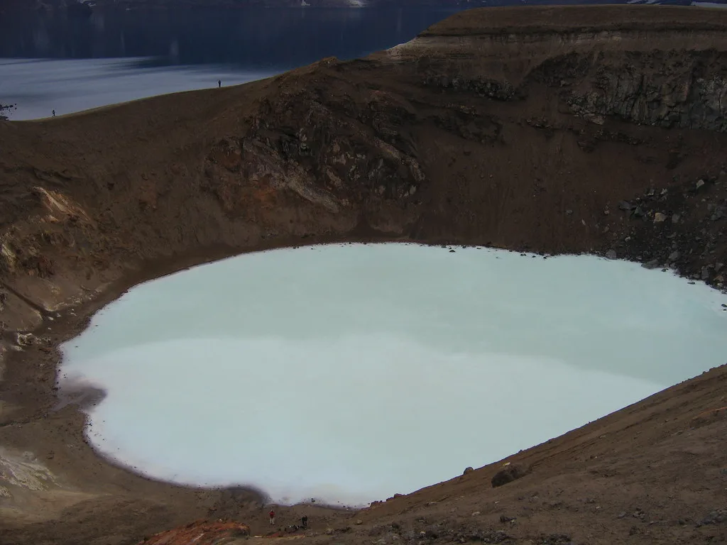
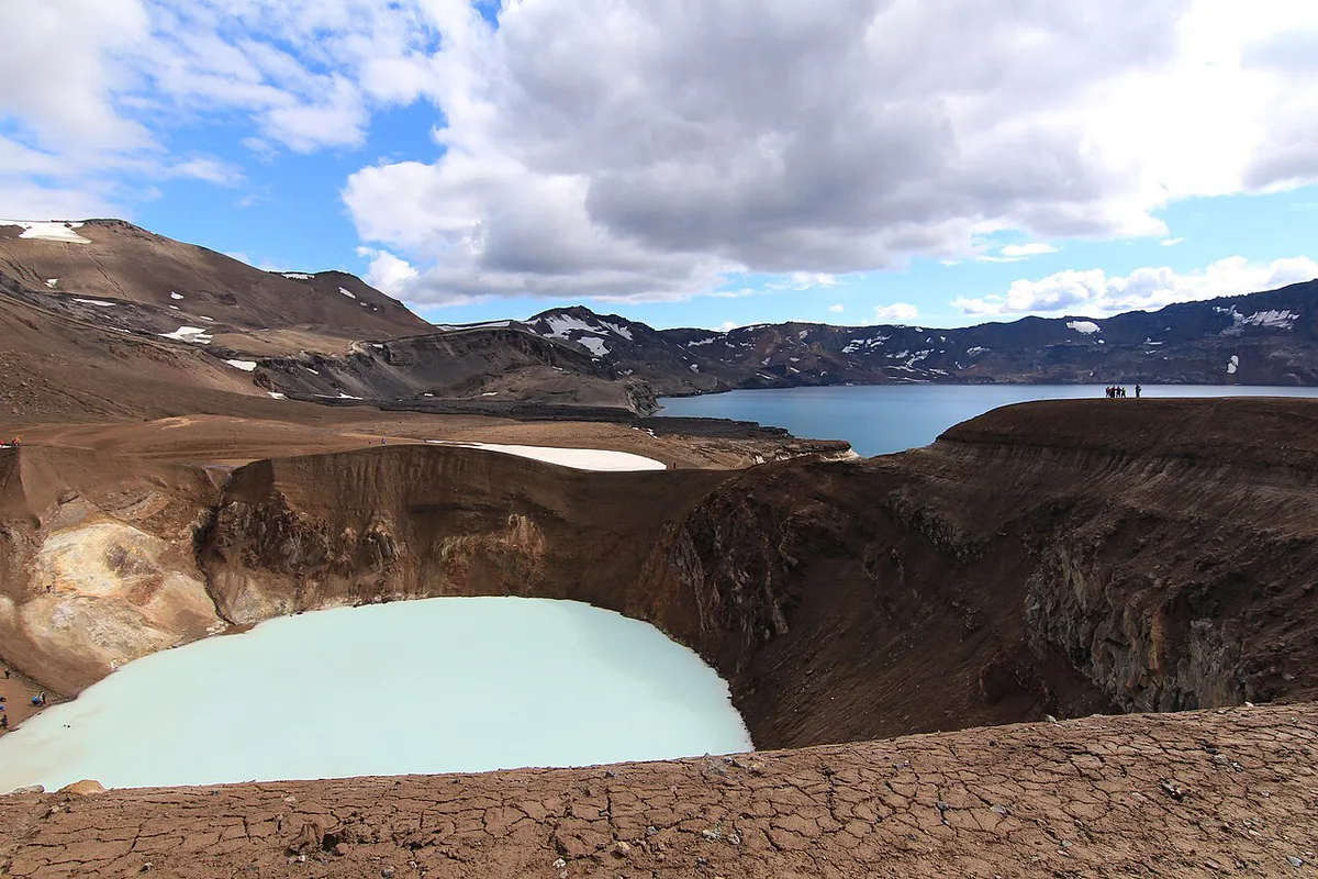
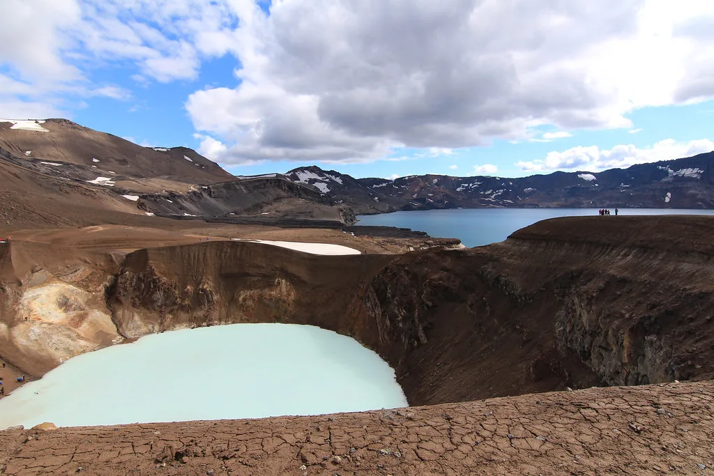
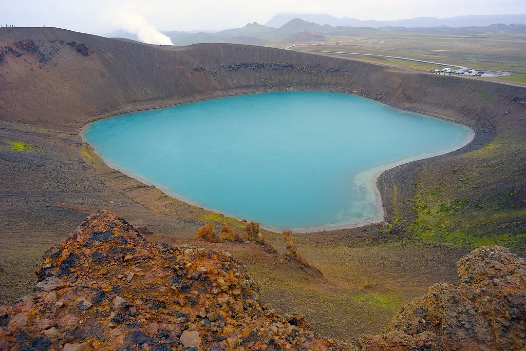
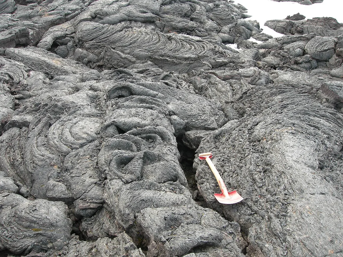
Öskjuvatn formed in the southeast corner of the caldera after the 1875 eruption, when the roof of the magma chamber subsided. The park authority calls it the deepest lake in Iceland, at more than 200 m (650 ft). Guides disagree on the exact figure, so treat that number as a floor, not a precise depth. The caldera floor around it is rough 'a'ā lava. Víti is a maar, an explosive crater, that formed at the end of the 1875 eruption. Its water is usually above 20°C (68°F) and reaches more than 8 m (26 ft) at the centre. Bathing is popular, but the sloping path is very slippery when wet. Mud at the bottom is quite hot, especially on the eastern bank, and rocks can fall from the edges. Check the path before you decide to swim, and skip it if conditions look poor.
Walking routes from Vikraborgir and Drekagil
The park authority publishes a hiking table for the area. Distances below come from that table, and several routes have no listed time.
| Route | Distance | Time | Difficulty |
|---|---|---|---|
| Vikraborgir to Öskjuvatn | 2.5 km (1.6 miles) | 2 h | Easy |
| Dreki to Dyngjufjöll and Víti | 8 km (5 miles) | Not listed | Challenging |
| Up into Drekagil | 0.6 km (0.4 miles) | 1 h | Challenging |
| Dreki to Nautagil (circle) | 6 km (3.7 miles) | Not listed | Challenging |
| Askja to Dyngjufell | 13.6 km (8.5 miles) | Not listed | Not listed |
Where to stay and what to bring
The Touring Club of Akureyri runs a campsite and cabins at Drekagil, near Askja, with room for 55 people plus toilets and showers. At Herðubreiðarlindir Springs it sleeps 25, with a campsite and toilets. Reservations go through the Club. Sigurðarskáli in the Kverkfjöll mountains is run by the Touring Clubs of Fljótsdalshérað and Húsavík. It has a campsite, a flush toilet and showers. Choose Dreki if Askja is the goal, and Herðubreiðarlindir if you want the springs and a look at Herðubreið. Details were checked in November 2026 against the park authority's page. There are no shops, restaurants or gas stations at Askja or in Kverkfjöll, so bring all your fuel and food. Pack for cold, wind and rain.
Book Drekagil or Herðubreiðarlindir through the Touring Club of Akureyri, and confirm ranger hours too, since the park's notice of reduced opening hours is dated 29 October 2026.
- Fuel: fill up before you leave the Ring Road area and carry enough for the return.
- Food and water: pack everything for the whole trip.
- Layers and waterproofs: the area is cold and dry but weather can change quickly.
- Swimwear and sandals: only if you plan to try Víti.
- Drone: leave it behind unless you have read the park's recreational drone rules, published 11 July 2024.
Road, weather and volcanic checks before you go
Askja sits in an active volcanic zone. Run through three checks before you leave. First, read F-road status on road.is. Second, read the forecast from the Icelandic Met Office at vedur.is. Third, read the park authority's Askja notices for the current uncertainty level, since the page lists an "Uncertainty level for Askja" item. Its latest visitor-centre notice, dated 29 October 2026, concerns reduced opening hours, so confirm ranger and visitor-centre times with the park authority if you plan to rely on them. Turn back if a river looks too deep to judge, if road status is closed, or if the forecast shows heavy rain or storm winds.
The 1875 eruption, Apollo training and the 1907 mystery
Askja's 1875 eruption sent pumice and ash across East Iceland, destroyed vegetation and pushed people to abandon farms in Jökuldalsheiði and elsewhere. The park authority describes those disasters as a major impetus for emigration to North America. American astronauts later trained in this area because the terrain resembled the Moon. In 1907 two German scientists, Walter von Knebel and Max Rudloff, vanished on Öskjuvatn during a boat trip. Von Knebel's fiancée, Ina von Grumbkow, later came to the area. A 2014 study suggested a landslide-generated wave could explain the disappearance. That remains a hypothesis, not a settled fact.
Combine Askja with other stops
Herðubreiðarlindir is the natural second stop. Its Herðubreiðarvötn walk is listed at 3.5 km (2.2 miles) and 2.5 hours. The longer Herðubreiðarlindir to Bræðrafell route runs 18.3 km (11.4 miles) and takes 7 to 9 hours. Pair Askja with Kverkfjöll's geothermal highlands if you have extra days. On the way back north, add Dettifoss waterfall for a very different landscape. Ásbyrgi's canyon makes a gentler finish. Other park areas, such as Skaftafell and Svartifoss, lie in the south, so treat them as a separate trip.
Frequently Asked Questions
When did Askja last erupt?
Askja's most recent eruption was in 1961, which formed the Vikrahraun lava field. Its large 1875 eruption is the one that shaped Öskjuvatn and Víti. Check the park authority's Askja notices for current activity.
What kind of volcano is Askja?
Askja is a caldera within the central volcano of the Dyngjufjöll mountains. The caldera formed when the roof of the magma chamber subsided after a major ash eruption. Later lava eruptions partly filled the depression.
Is there a caldera in Iceland?
Yes, and Askja is one of them. Its caldera floor sits at about 1,100 m above sea level. Öskjuvatn lake fills the southeast corner.
Notes for your next park visit
Optional updates to our national park guides.
Read next

Keep planning
Picked from the same area