
Ásbyrgi Canyon Guide: Trails, Access & Time Needed
Plan Asbyrgi Canyon: how to get there on the Diamond Circle, which trail fits your time, free entry and parking, seasons, and whether it is worth the detour.
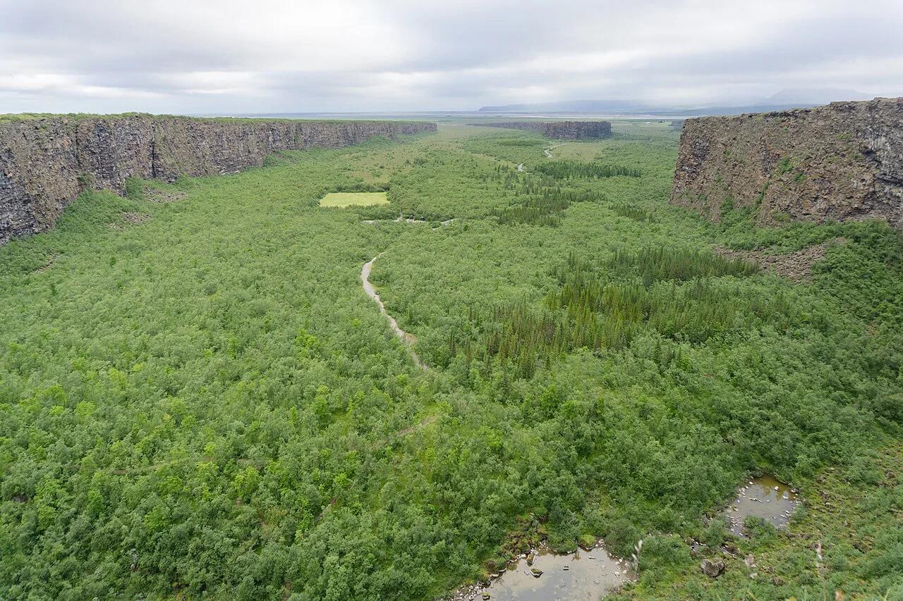
Last updated November 2026: Asbyrgi Canyon is a horseshoe-shaped, forested canyon in Northeast Iceland, inside the Jökulsárgljúfur section of Vatnajökull National Park. It sits on the Diamond Circle and suits anyone who wants an easy forest walk or a cliff-top view. Most visitors spend 1 to 3 hours here, and a half day covers several trails.
Featured image: Michal Klajban, CC BY-SA 4.0, via Wikimedia Commons.
Asbyrgi Canyon at a Glance
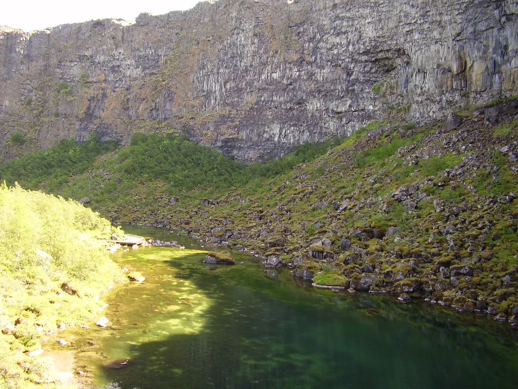
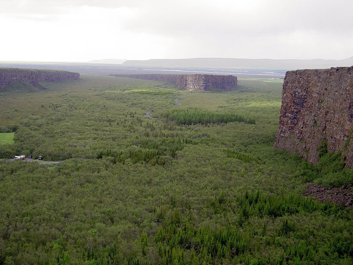
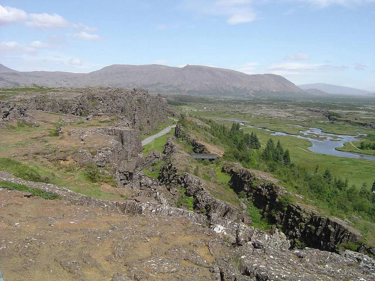
Ásbyrgi is about 3.5 km (roughly 2.2 miles) long and over 1 km wide, with walls up to about 100 m high. Its floor holds birch and willow woodland, which looks unusually green beside Iceland's volcanic terrain. The visitor area, trails and campsite belong to the national park's Jökulsárgljúfur area, which is the official source for trail and facility updates.
- Location: Northeast Iceland, address Ásbyrgisvegur, Kópasker
- Park section: Jökulsárgljúfur, part of Vatnajökull National Park
- Entry: free, with parking at the visitor area
- Time needed: 1 to 3 hours, up to a half day for several trails
- Best months: June to August for trails, September to October for quieter autumn visits
How Ásbyrgi Formed: Geology and the Sleipnir Legend
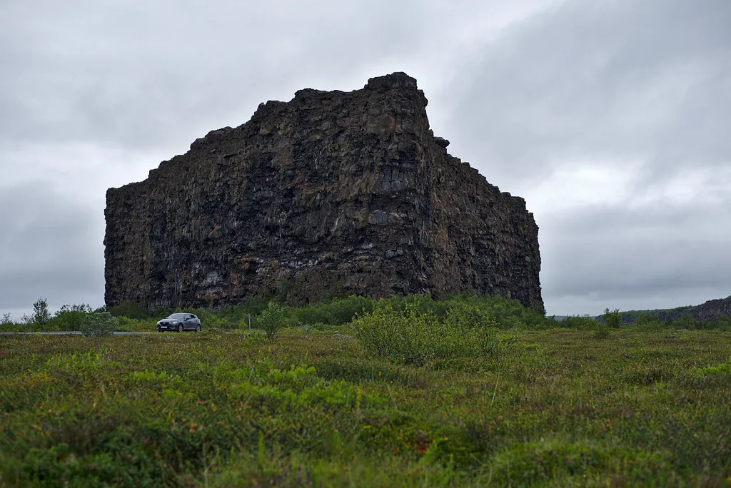
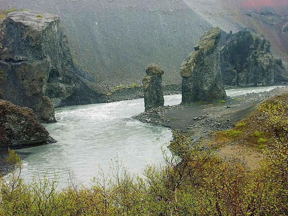
Geological accounts describe catastrophic glacial floods from the river Jökulsá á Fjöllum, thousands of years ago. Those floods carved the cliffs and the horseshoe outline. Folklore tells a different story. In the legend, Sleipnir, Odin's eight-legged horse, touched down here and left a hoofprint. Treat that as folklore, not science. Ásbyrgi belongs to the Jökulsá á Fjöllum river system, which starts at the Vatnajökull glacier. Upstream, the same river feeds Dettifoss waterfall.
Best Things to Do: Ásbyrgi Trail Comparison
Three trails cover most visits. Lengths and walking times depend on the route you choose, so pick up the park's trail map at the visitor area before you set off.
| Trail | What you get | Effort | Best for |
|---|---|---|---|
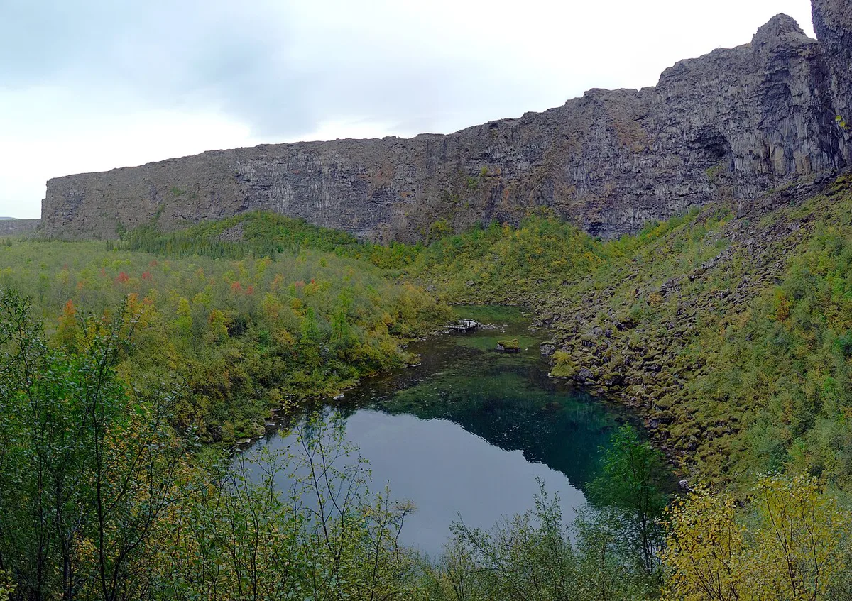
| Botnstjörn | A short walk to a quiet lake at the base of the cliffs | Easy | Families and casual walkers |
| Eyjan | Cliff-top path with panoramic views over the canyon | Moderate | Photographers and confident hikers |
| Klappir | A walk through the canyon floor's geology and vegetation | Check the park map | Travelers who want a longer woodland walk |
How Long to Spend and Is It Worth the Detour?
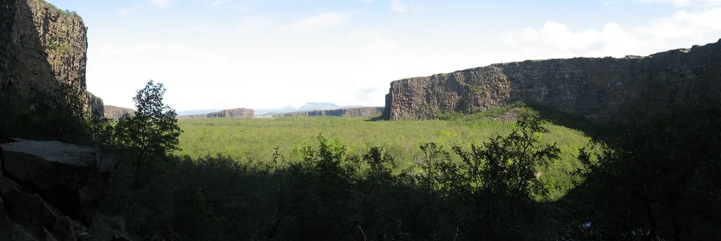
Plan for 1 to 3 hours, and allow a half day if you want several trails. Ásbyrgi rewards walkers more than drive-by photographers. If you only have a short window, choose between the canyon and Dettifoss. Waterfall seekers should favor Dettifoss. Húsavík suits whale watching instead. Skip Ásbyrgi if you dislike driving and only want one headline sight.
Akureyri is about 2.5 hours away by road, so a same-day visit from there leaves little time beyond the 1 to 3 hours on site.
- 1 hour: walk to Botnstjörn and look up at the cliffs.
- 2 to 3 hours: add the Eyjan viewpoint trail.
- Half day: combine several trails with a picnic stop on the canyon floor.
Getting There and Diamond Circle Day Plans
Take Road 85 from Húsavík or from Akureyri. Roads are paved and well signposted, so a 2WD car manages it in summer. Public transport in this region is extremely limited, so a car is the practical choice. The Vatnajökull park map shows how this northern section relates to the rest of the park.
- From Húsavík: about 50 minutes to 1 hour
- From Akureyri: about 2.5 hours
- From Reykjavík: about 6 to 7 hours
- Sample day: Húsavík, Ásbyrgi, Dettifoss, then Lake Mývatn
- Sample half day: Húsavík whale watching in the morning, then Ásbyrgi in the afternoon
Best Time to Visit and Winter Access
Ásbyrgi stays open year-round, but conditions change a lot. Summer from June to August gives the best roads and trails. Winter runs from November to April and limits trail access. Check road conditions at the Icelandic Road and Coastal Administration before every winter drive.
| Season | Months | What to expect |
|---|---|---|
| Summer | June to August | Green canyon floor, midnight sun, best road conditions |
| Autumn | September to October | Fewer visitors, golden foliage, crisp hiking weather |
| Winter | November to April | Snow on the cliffs, quiet, limited trail access |
| Spring | May | Melting snow, fresh greenery, smaller crowds |
Costs, Parking, Facilities, and Camping
Entry is free, and parking is at the visitor area. A small visitor centre offers information on the area's history and geology, plus restrooms. A campsite sits within the canyon area and typically runs in the summer season. Check the park's page for current opening dates. Húsavík is the larger base on this route for food and fuel. Other park sections such as Skaftafell lie a long drive to the south, so do not combine them in one day.
Mistakes to Avoid
A few planning errors cause most disappointment here.
- Budgeting under an hour and treating the canyon as a quick photo stop.
- Skipping the weather forecast before a cliff-top hike.
- Assuming winter trails are open in the same way as in summer.
- Forgetting that Ásbyrgi needs a car and a long driving leg from Akureyri.
Notes for your next park visit
Optional updates to our national park guides.
Read next

Keep planning
Picked from the same area