
Dettifoss Waterfall Guide: East vs West Side, Roads, Tips
Dettifoss east or west side? Compare Route 862 and 864, drive times from Akureyri, Mývatn and Húsavík, and season and road checks before you go.
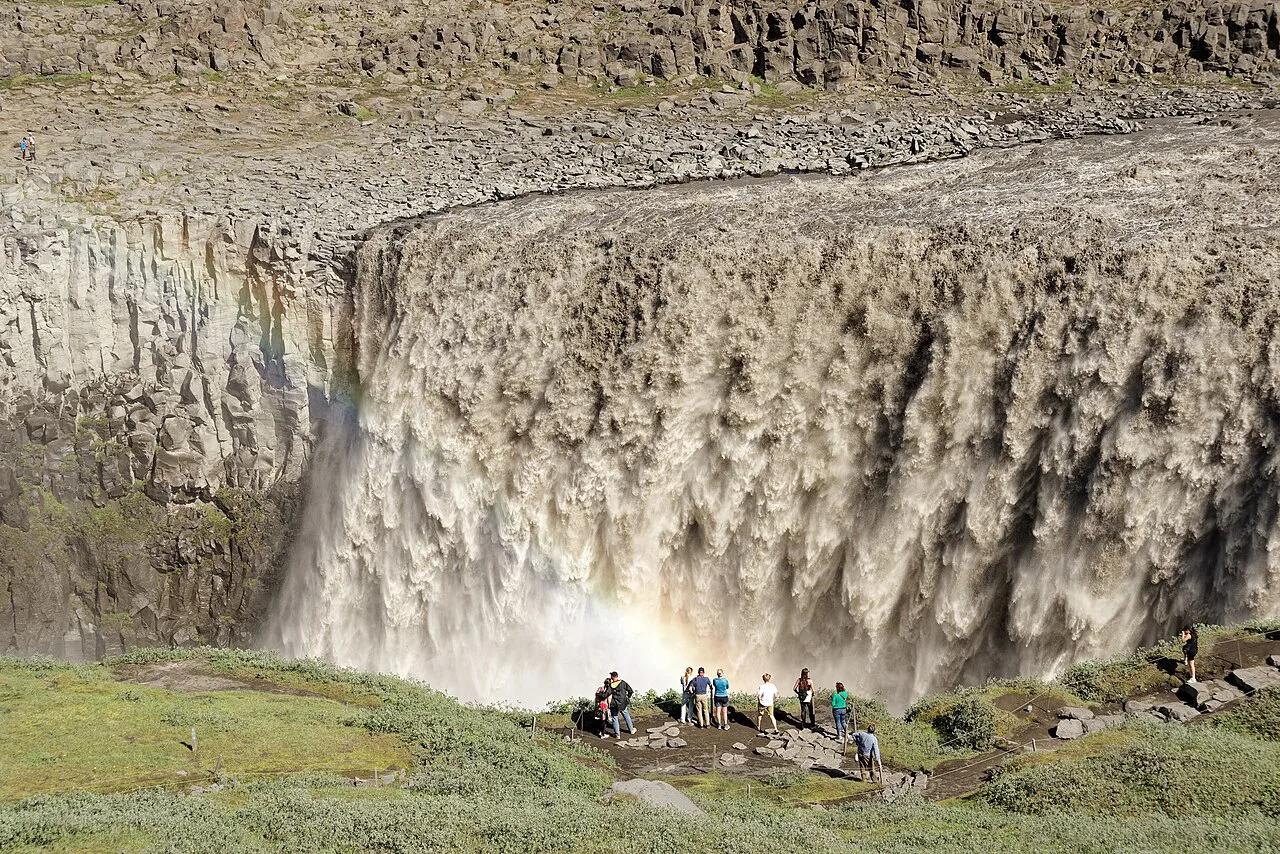
Last updated November 2026: Dettifoss is a waterfall on the Jökulsá á Fjöllum river, in the Jökulsárgljúfur area of Vatnajökull National Park. One decision matters most. Choose the west side (Route 862) for paved access and year-round viewing, or the east side (Route 864) for a closer view in summer. Plan 1–2 hours for the falls alone and 3–4 hours if you add Selfoss and Hafragilsfoss.
Featured image: Jakub Hałun, CC BY 4.0, via Wikimedia Commons.
Dettifoss at a Glance
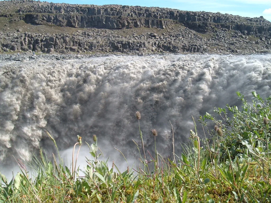
Dettifoss drops about 44–45 m into the Jökulsárgljúfur canyon and is roughly 100 m wide. Average flow is reported at 190–200 m³/s, and it shifts with the season. Glacial sediment turns the water grey-white. Many guides rank it among Europe's most powerful waterfalls by volume, though the Rhine Falls is often cited as stronger. Its name combines detta (to fall) and foss (waterfall). Visiting costs nothing, because Vatnajökull's natural sites charge no entry fee and both car parks offer free parking. Park staff publish trail and facility notices for the Jökulsárgljúfur area. To see where the falls sit within the park, open the Vatnajökull park map.
- Location: northern Vatnajökull National Park, Northeast Iceland, on the Diamond Circle
- Height and width: about 44–45 m high, about 100 m wide, one drop
- Flow: roughly 190–200 m³/s on average, varying by season
- Time needed: 1–2 hours at Dettifoss alone, 3–4 hours with Selfoss and Hafragilsfoss
- Cost: no entry fee, free parking on both sides
East Side or West Side: Which to Choose
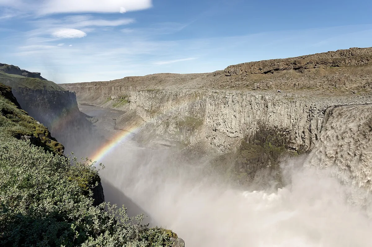
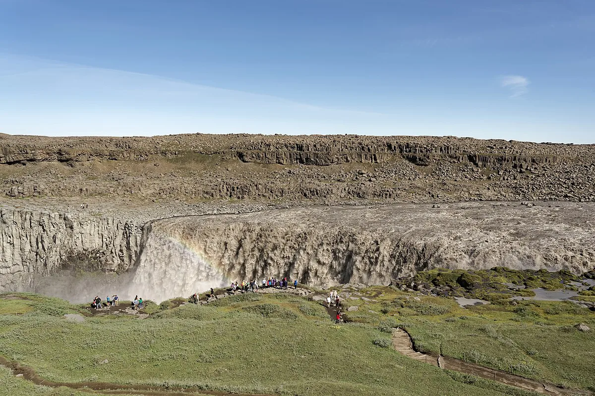
Each bank has its own viewing area, and the two feel quite different. West-side Route 862 is paved and has the larger car park, marked paths and observation decks. East-side Route 864 is gravel, slower and puts you nearer the edge. Choose west if you visit outside summer, want facilities or plan the Selfoss walk. Choose east between June and September if your rental terms allow gravel and you want the direct, closer view. Photographers often prefer the east because it faces the falls head-on, and one hiker reports less spray there. Other guides say the east viewpoints are more exposed to wind. West-side spray can be intense when the wind blows, so carry a lens cloth either way.
| Feature | West side (Route 862) | East side (Route 864) |
|---|---|---|
| Road surface | Paved, about 25 km from the Ring Road | Gravel with potholes, slow going |
| Vehicle | Any car in good conditions | Check your rental contract; 4x4 often recommended |
| Walk from car park | About 10–15 minutes | About 10 minutes |
| View | Elevated, canyon partly blocks the angle | Closer and more direct, rope-barred viewpoint |
| Facilities | Larger car park, toilet, marked paths, decks | Smaller car park, toilet, information panel |
| Season | Usually open year-round, not guaranteed | Closed in winter, reopens late May to early June |
| Selfoss | Flat and well marked, under 20 minutes | Rocky and slower, a little over 1 km |
| Hafragilsfoss | Drive to a viewpoint or hike down the canyon | Best canyon viewpoint, almost 3 km on foot or by car |
How to Get to Dettifoss
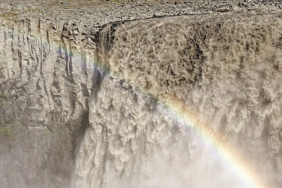
Both access roads branch off the Ring Road. Route 862 runs about 25 km from the turn-off to the west car park, and the road can feel empty before the signs appear. Route 864 is easy to miss because it carries no obvious Dettifoss signs. Follow the dirt road past a few guesthouses until the car park appears on your left. No regular bus reaches the falls, so you need a car or a guided Diamond Circle tour. Live road status is posted on road.is. Drive times below are approximate.
Driving from Mývatn is about 50 minutes (60 km) each way, so a 1–1.5 hour quick stop there leaves little room once the return drive is counted.
- From Akureyri: about 1 hour 45 minutes (133 km) via Route 1
- From Mývatn: about 50 minutes (60 km)
- From Húsavík: about 1 hour 10 minutes (91 km)
- Mistake to avoid: trusting GPS without checking closures
- Mistake to avoid: assuming Route 864 is open in spring
- Mistake to avoid: mixing up the road numbers, since 862 is west and 864 is east
Season and Road Conditions
Summer, June to September, gives the most reliable access to both sides. According to Visit North Iceland, Route 864 is closed in winter and opens around the end of May. Other guides report early June, and closures can start as early as October. Route 862 has no winter service from January until the beginning of April. Storms can make it impassable even when it is usually open. Check road.is for roads and safetravel.is for safety advice. Add vedur.is for weather before you leave.
| Season | West side | East side |
|---|---|---|
| June to September | Open, paved, busiest | Usually open, gravel, slow |
| Shoulder months (late May, October) | Normally open, expect wet paths | Opening and closing dates vary; check first |
| Winter (October to May) | Often reachable but icy, limited paths and viewpoints | Closed |
Selfoss and Hafragilsfoss: Doing All Three
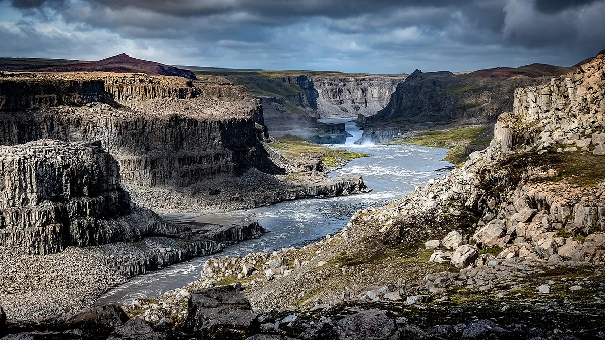
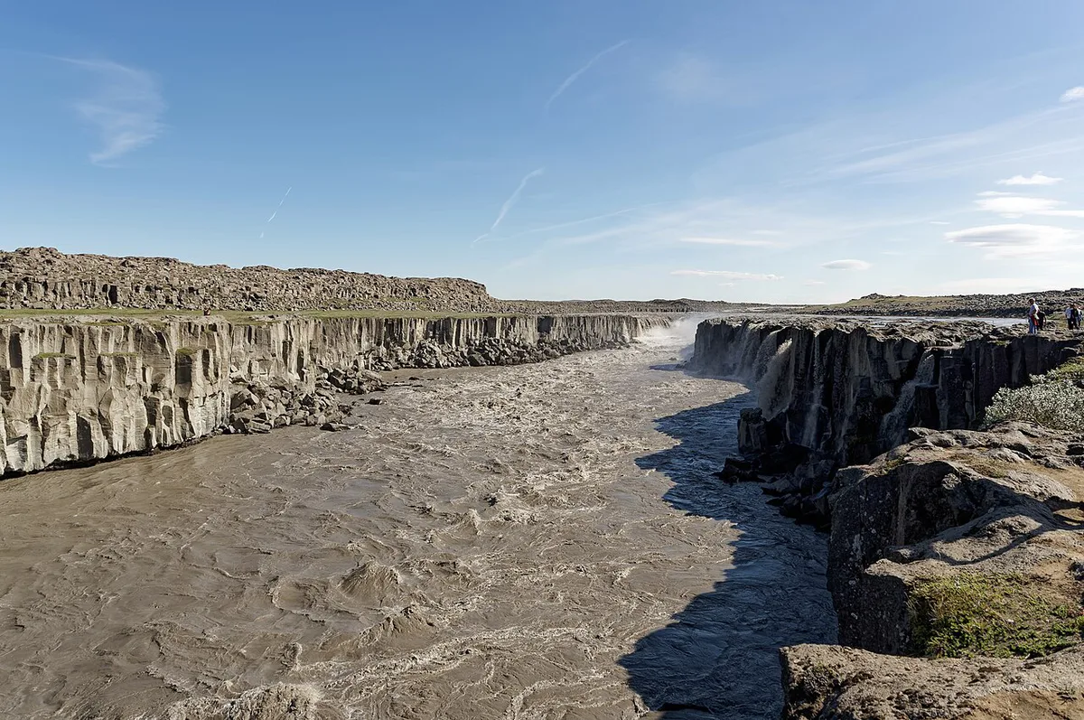
Selfoss lies about 1 km upstream of Dettifoss. It is only about 10 m high but spreads across a wide basalt horseshoe. Hafragilsfoss sits about 2.3 km downstream and drops about 27 m, making it the tallest of the three. Selfoss is easiest from the west, where the flat path takes under 20 minutes from the car park. From the east, the walk is a little over 1 km, rocky and slow. Hafragilsfoss looks best from the east canyon viewpoint, and viewpoints on both banks can be reached by car when the road is open. One hiker logged about 7 km on the east and about 10 km on the west, rated easy, at roughly 2–2.5 hours. Treat those as one person's measurement.
How the Canyon Formed
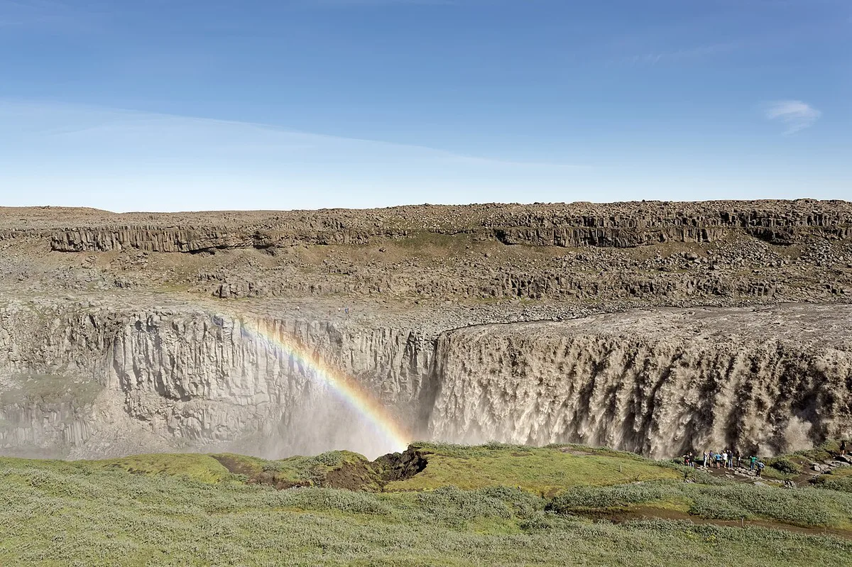
Jökulsárgljúfur was cut largely by glacial outburst floods, known in Icelandic as jökulhlaups. A University of Iceland glacial-flood specialist dates the canyon to three main flood periods, roughly 9,000, 5,000 and 2,000 years ago. In some periods the erosion front retreated more than 2 km. Most floods were fed by eruptions beneath the Vatnajökull ice cap. Columnar basalt broke away in whole sections, leaving the box-shaped canyon and the rock terraces still visible near Dettifoss and Hafragilsfoss. On the west side, the path from the car park crosses an old flood channel.
Sample Itineraries
Pick the plan that matches your base and your time. A quick stop suits drivers crossing the region on the Ring Road. The half-day version covers all three falls from one bank. A full Diamond Circle day links the falls with Mývatn, Húsavík and Goðafoss, and Ásbyrgi can be an optional extra.
| Plan | Time | Best base | Notes |
|---|---|---|---|
| Quick stop, west side | 1–1.5 hours | Mývatn (about 50 minutes away) | Park, walk to the decks, return to the Ring Road |
| Three falls, one side | 3–4 hours | Akureyri or Mývatn | Pick east in summer for Hafragilsfoss, west otherwise |
| Diamond Circle day | Full day | Akureyri, Mývatn or Húsavík | Add Goðafoss, Mývatn, Húsavík and optional Ásbyrgi |
What to Combine Nearby
Ásbyrgi canyon is the natural next stop and the north end of the Ásbyrgi–Dettifoss trail, about 32–34 km long. Hikers can walk it in a long day or over several days. Read Ásbyrgi canyon for the northern end of that route. Vesturdalur has camping along the canyon. Mývatn offers birdwatching, pseudocraters and basalt pillars. Húsavík is the base for whale watching, and Goðafoss lies between Akureyri and Mývatn. With more time and a suitable vehicle, Askja in the highlands is a very different trip. If you are in the south of the park, Svartifoss is a separate journey.
Safety, Spray and What to Bring
Stay behind the rope barrier at the east viewpoint, since the rock edge is fully exposed. Wet rock near Selfoss is slippery, especially on the east path. Spray soaks west-side viewpoints in wind, so a waterproof shell helps. Swimming is prohibited because the river is dangerous. Drones need special park permission and are not allowed for recreation. Wear sturdy shoes and layers, as the area is open and windy. A lens cloth keeps photos usable.
- Sturdy shoes for rocky, uneven paths
- Waterproof layers and an extra warm layer
- Lens cloth for spray
- Full fuel tank, since services are far from both roads
Frequently Asked Questions
How long does it take to hike to Dettifoss waterfall?
From the car park, Dettifoss is a short walk of about 10 minutes on the east and 10–15 minutes on the west. Adding Selfoss and Hafragilsfoss turns the visit into a 3–4 hour outing.
Is Dettifoss a worthwhile place to visit?
Yes, if you want raw scale. Its flow of roughly 190–200 m³/s makes it one of Europe's most powerful waterfalls by volume. It sits on the Diamond Circle, so it combines easily with Mývatn and Húsavík.
Notes for your next park visit
Optional updates to our national park guides.
Read next

Keep planning
Picked from the same area