
Svartifoss Waterfall Guide: Skaftafell Hike, Time, Parking and Fees
Plan your Svartifoss visit: trail options, hiking time, parking fees, seasonal conditions, and how it fits into a Ring Road trip through Skaftafell.
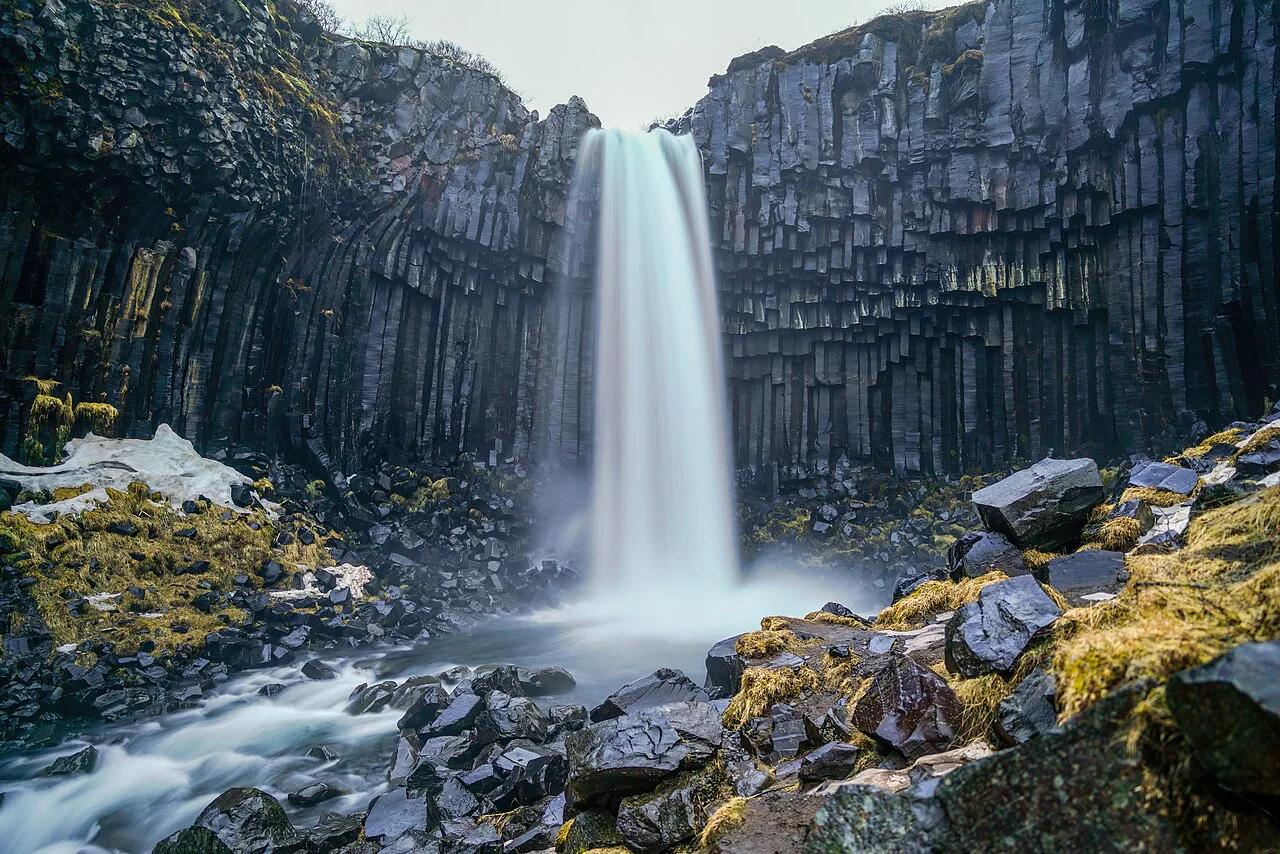
Last updated November 2026: Svartifoss is a waterfall framed by dark basalt columns in Skaftafell, the visitor area of Vatnajökull National Park. The walk from the car park is about 1.5 km each way and rated easy to moderate. It is a Ring Road stop, not a day trip from Reykjavík.
Featured image: Giles Laurent, CC BY-SA 4.0, via Wikimedia Commons.
Svartifoss at a Glance
Svartifoss sits in the Skaftafell area of the park, just off Route 1. Walkers reach it on a short out-and-back trail through birch scrub and above the tree line. The park authority's Skaftafell page carries trail maps and notices. Prices and hours below were checked in November 2026.
| Fact | Detail |
|---|---|
| Walk to the falls | About 1.5 km each way |
| Round trip | About 3.2 km, roughly 1 hour plus time at the falls |
| Elevation gain | About 133 m |
| Difficulty | Easy to moderate |
| Parking fee | ISK 1,000 per car |
| Park access | Open 24 hours, all year |
| Nearest bases | Vík to the west, Höfn to the east |
Why Svartifoss Is Worth the Stop
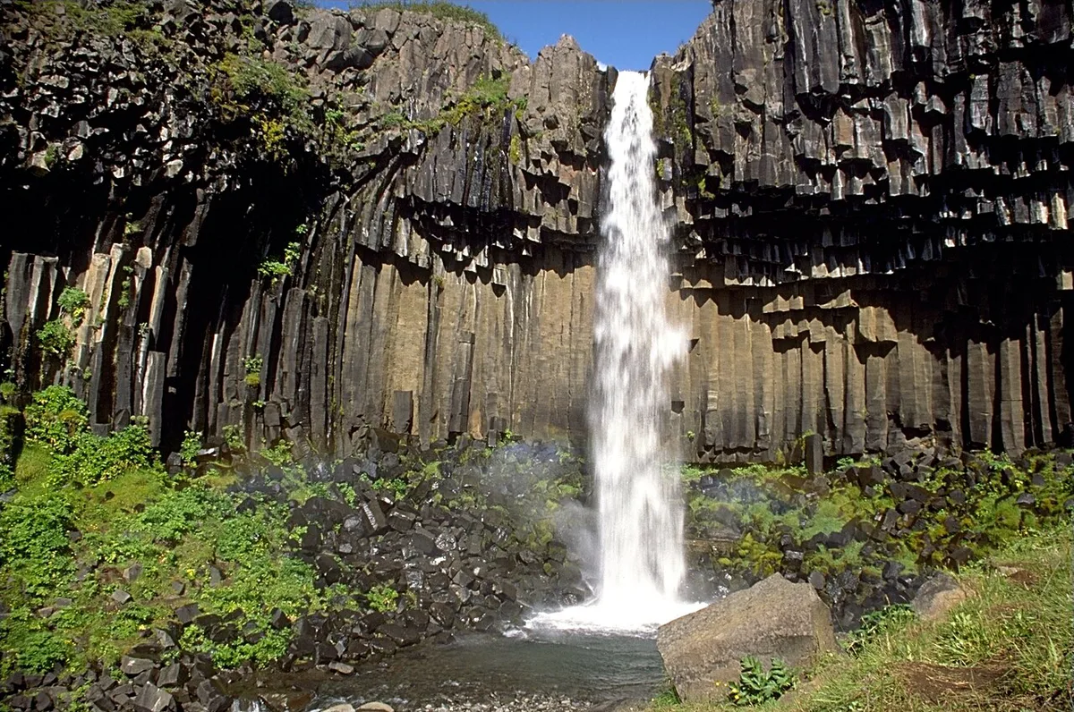
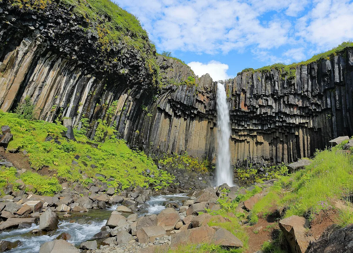
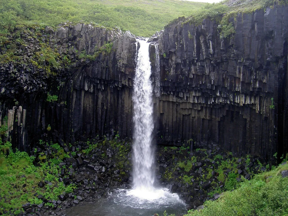
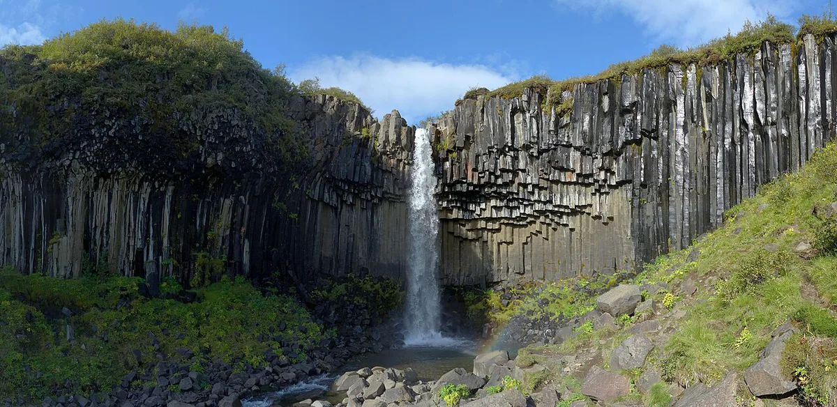
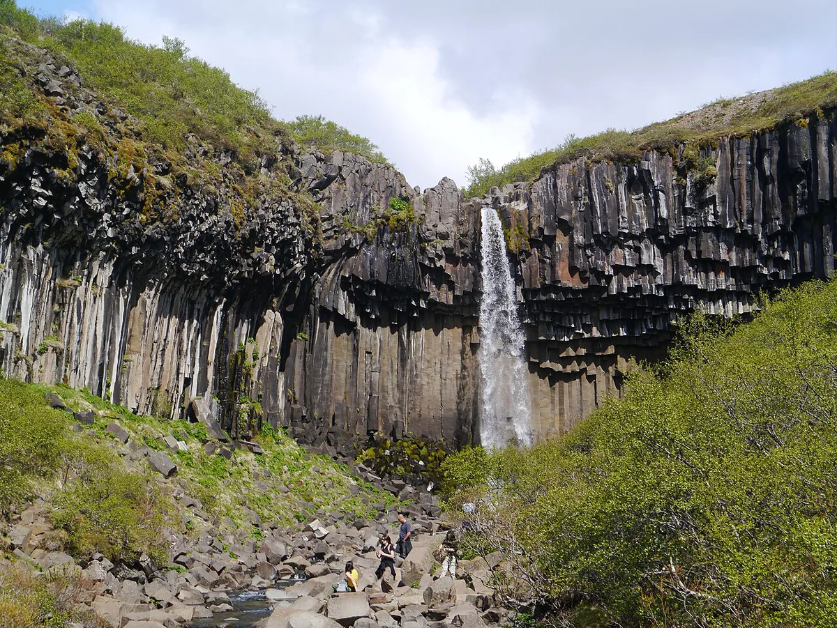
Svartifoss is not a large or powerful waterfall. Its draw is the backdrop. Hexagonal basalt columns frame the fall, and green moss softens their dark faces. These columns form when lava cools and contracts, which splits the rock into vertical prisms. Pieces break off over time, so the boulders at the base were once part of the wall. Visitors often link the pattern to the organ-pipe look of Hallgrímskirkja in Reykjavík. For raw volume, head north to Dettifoss instead.
How to Get to Skaftafell
Skaftafell lies directly off the Ring Road (Route 1). Allow about 4.5 hours of driving from Reykjavík, plus about 30 minutes more from Keflavík Airport. From Vík, the distance is about 140 km, or roughly 2 hours. That makes a Reykjavík day trip unrealistic. Sleep in Vík or Höfn, or drive in from the Jökulsárlón side. Check Route 1 conditions on the road administration site before each leg. Winter gravel and wind can add time to any estimate.
Planning Your Time on the Ring Road
Svartifoss works best as a two to three hour stop on a longer drive, not as a destination in itself. The walk takes about an hour round trip plus time at the falls, and the rest of the stop goes on parking, the visitor centre and the drive in and out.
- Driving west to east from Vík: leave Vík early. The drive is about 140 km, or roughly 2 hours, so you reach Skaftafell by mid-morning. That leaves the afternoon for the glacier lagoon side of the Ring Road.
- Driving east to west from Höfn: do Svartifoss first thing, before the car park fills, then continue toward Vík with daylight in hand.
- Staying overnight nearby: an evening or early-morning walk avoids the middle-of-the-day crowds in summer.
In the shoulder months, count backwards from sunset. Add the walk, the time at the falls and a margin for icy gravel, and treat that total as your latest start time. If the margin is thin, stay on the 3.2 km Svartifoss walk and drop the longer trails.
Road and weather conditions on Route 1 can change a schedule quickly, so check them on the road administration site before you commit to a tight plan.
Svartifoss Trail Options
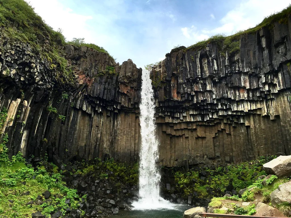
You have two starting points. The visitor centre start adds distance but keeps you near toilets and information. Parking at the end of the paved road gives a shorter and more scenic approach. Choose the upper car park in poor weather or with children. Choose the visitor centre if you want maps and staff advice first. Early on, the S2 trail climbs through forest. Hundafoss, about 25 m high, appears within minutes. Magnúsarfoss follows a little further on. You get a first distant view of Svartifoss at about 1.3 km. A short side path of about 250 m drops to creek level for a close-up. Return the same way or take the slightly longer S2 and S3 trails. Check route markers against the current park map.
- Svartifoss only: about 3.2 km, about 133 m of gain, about 1 hour plus time at the falls. Easy to moderate. Suits families and short stops.
- Svartifoss plus the S2/S3 loop return: slightly longer than 3.2 km. Easy to moderate. Suits walkers who dislike retracing steps.
- Svartifoss plus the glacier viewpoint: about 2.5 km further out from the falls via the S6 trail. Moderate. Suits half-day visitors in settled weather.
- Full Kristínartindar route: about 18 km in total with about 1,127 m of gain, and the peak alone adds 719 m from the glacier viewpoint. Strenuous. Allow most of a day and finish before dark.
Parking, Fees and Opening Hours
Skaftafell charges ISK 1,000 per car for parking, and that covers the trails. Bring a card, since you may not have cash on hand. The area itself is open 24 hours, every day of the year. Visitor centre hours differ from the park's access. Expect roughly 10:00 to 16:00 for most of the year, with longer hours in spring and summer. Do not assume staff are available early or late in the day.
What to Bring and What to Expect at the Trailhead
Svartifoss is a short walk, but it is not a city park. Once you leave the car park there are no shops on the trail, and weather can turn within the hour.
- Footwear: boots or sturdy shoes with grip. The gravel and the rock near the falls stay wet and slippery.
- Layers and waterproofs: wind increases as you climb above the birch scrub, and spray around the falls soaks you faster than you expect.
- Water and a snack: carry them from the car or the visitor centre rather than counting on buying anything on the trail.
- Payment card: the ISK 1,000 parking fee is easiest to settle by card.
- Phone and offline map: download the park's trail map before you set out, since signal can be patchy on the higher sections.
Use the toilets at the visitor centre before you start, since there are none along the walk itself. Opening hours for the centre and any services vary by season, so check the park's Skaftafell page before you arrive.
On a busy summer day, the path to the first viewpoint can get crowded. Step to the side to let people pass, and stay on the marked route so the vegetation can recover.
Best Time to Visit and Seasonal Conditions
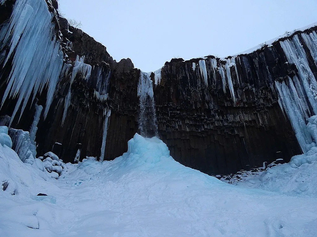
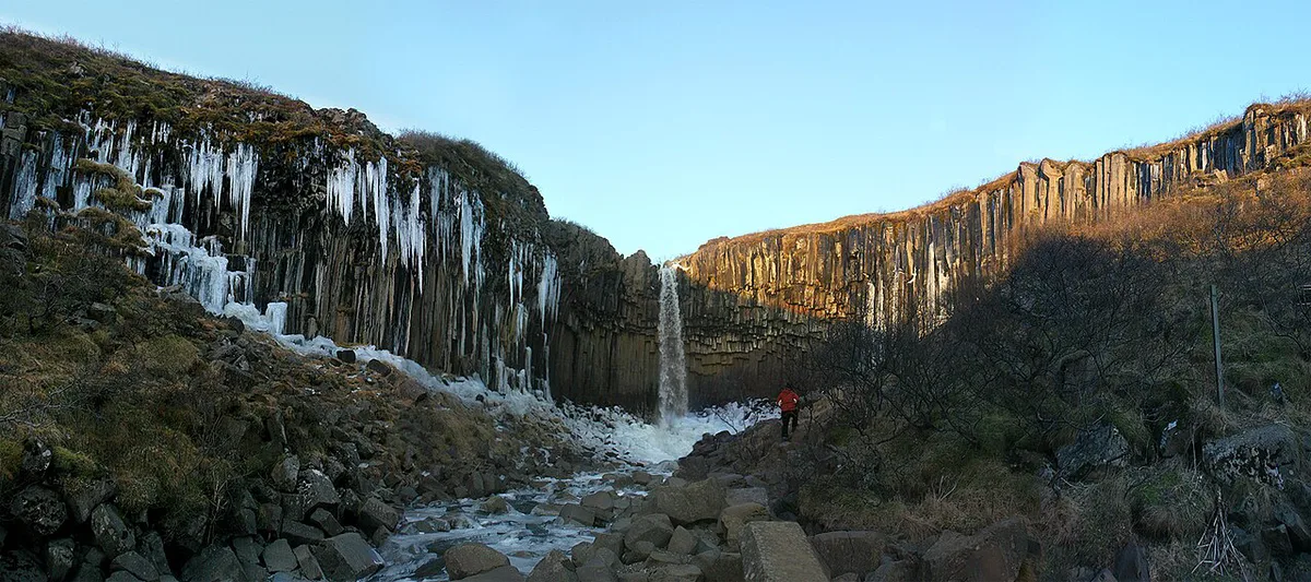
Summer gives long daylight and the most visitors. Arrive early or late in the day for quieter viewpoints. Autumn and winter bring short daylight, icy gravel, and wet, slippery sections near the falls. Use boots with grip, not trainers. Check the Icelandic Met Office for weather and wind alerts before setting out. Daylight is the main constraint in the shoulder months. Plan your return before dusk.
- Skip or shorten if road authorities report closures or a storm alert covers the area.
- Skip the glacier viewpoint and Kristínartindar if cloud sits low or the trail is iced.
- Stay on the 3.2 km Svartifoss walk if daylight is limited.
Safety and Respecting the Site
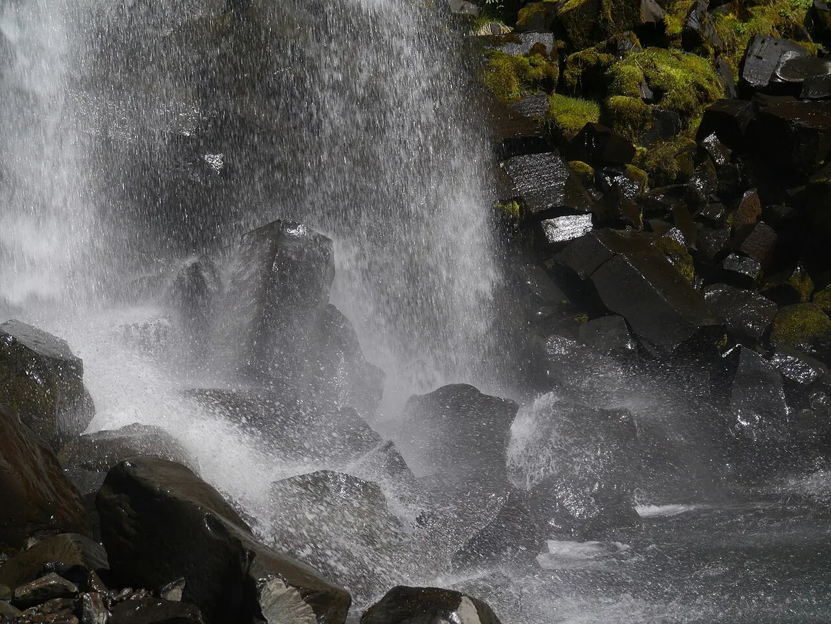
Creek viewpoints on the way up have unstable ground. Keep back from the edge, even when the current looks tempting. Stay off the basalt columns, and do not stand beneath them, because they shed rock. Glacier walking needs a licensed guide. Guided options appear on Vatnajökull tour listings. Pack waterproofs and sturdy footwear.
- Underestimating daylight in the shoulder season.
- Wearing trainers on wet gravel.
- Planning a day trip from Reykjavík.
- Treating visitor centre hours as park hours.
- Arriving without a payment method for parking.
Photography at the Falls
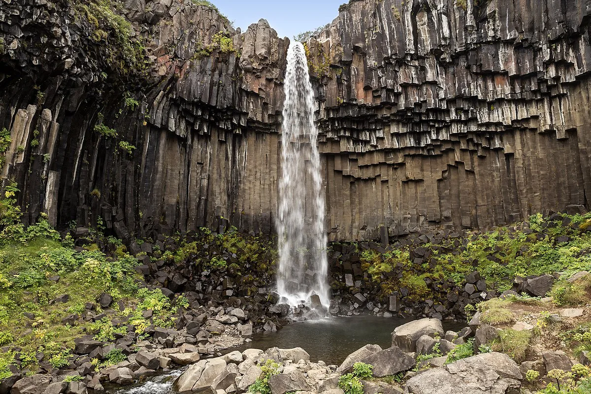
The first viewpoint at about 1.3 km gives a wide, distant frame with the columns in context. The close trail puts you near spray and the base boulders. Lenses can fog there, so carry a cloth. Overcast light keeps the dark rock detailed without harsh glare. Tripods are easiest at the larger viewpoint.
Where to Stay Near Skaftafell
No town sits beside the park. Options include the nearby campsite, guesthouses along the Ring Road, and the villages of Vík and Höfn. Book early in summer, since beds near Skaftafell are limited. Vík offers more choice to the west. Höfn works well if you continue east.
Vík offers more choice to the west, though it sits about 140 km, or roughly 2 hours, from Skaftafell. Factor that drive into your early start.
What Else to Combine
Skaftafell has more walking beyond the falls, including the glacier viewpoint. Use the Vatnajökull regions map to see how the park is divided. Other sections lie far to the north and inland. These include Ásbyrgi canyon, Askja, Kverkfjöll and Laki. None is a same-day add-on from Skaftafell.
Notes for your next park visit
Optional updates to our national park guides.
Read next

Keep planning
Picked from the same area