
Kverkfjöll Travel Guide: Access, Huts and Glacier Safety
Planning Kverkfjöll? See how to get there, the highland access rules, hut and glacier safety, and whether it suits your Iceland itinerary.
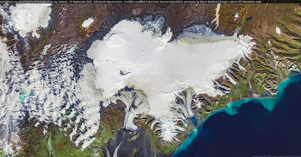
Last updated November 2026: kverkfjoll (Kverkfjöll) is a subglacial volcano and mountain range on the northern edge of Vatnajökull, inside Vatnajökull National Park. It is remote highland terrain, not a roadside stop. This guide answers the real question: can you go, and what will it take?
Featured image: Pierre Markuse from Hamm, Germany, CC BY 2.0, via Wikimedia Commons.
What Is Kverkfjöll?
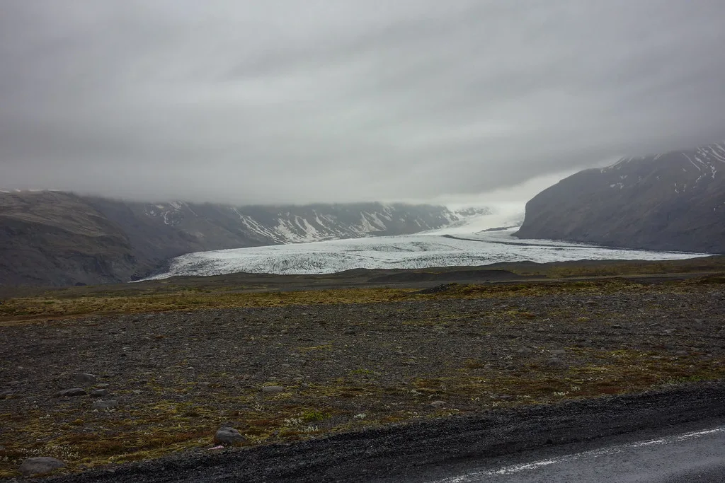
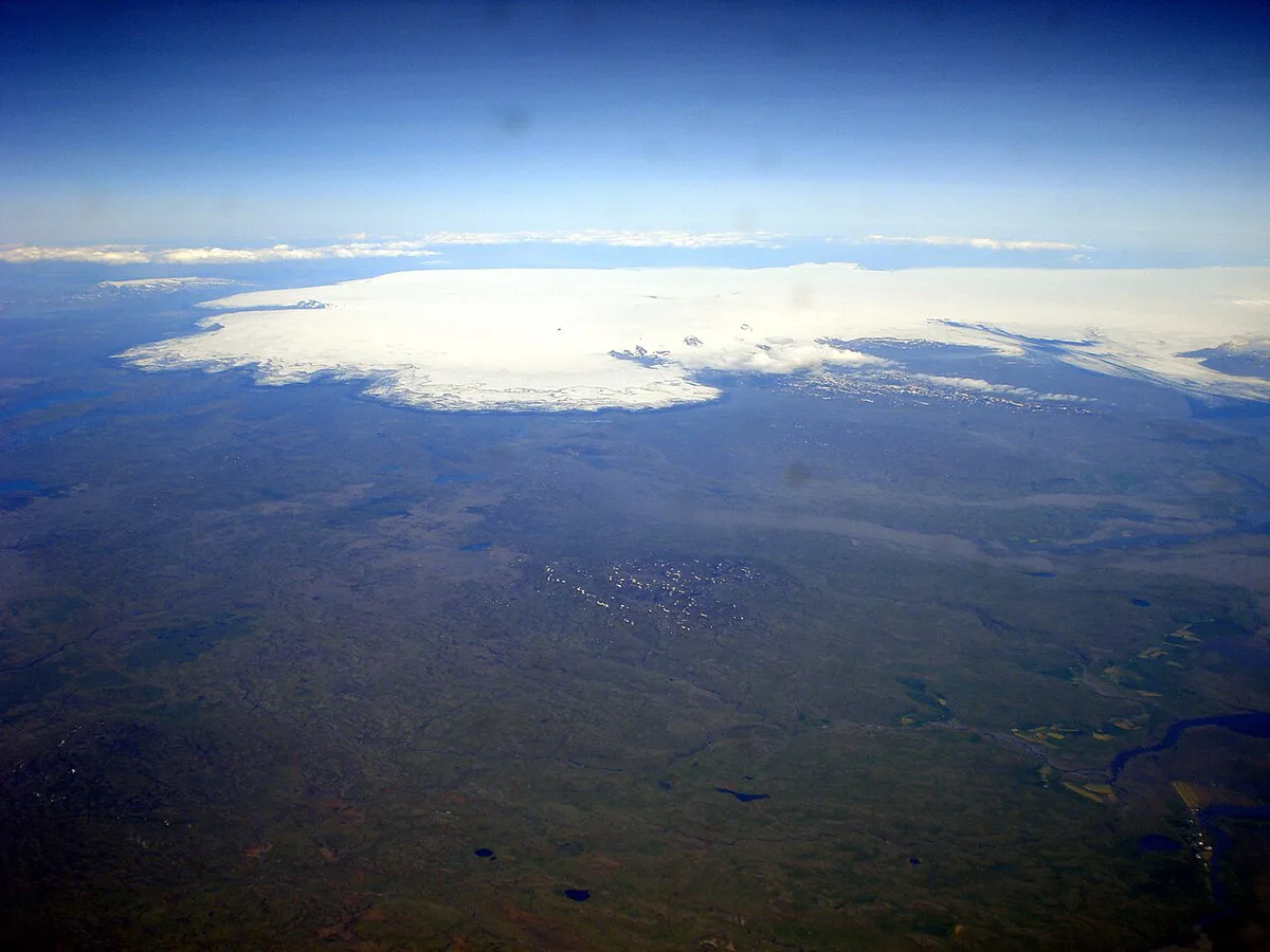
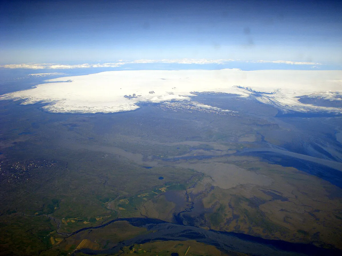
Kverkfjöll is both a mountain range and an active central volcano. It sits under the northern rim of the Vatnajökull ice cap. Its elevation is listed at roughly 1,900 m (about 6,200 ft). Records list a first ascent in 1910 and an eruption in 1959. Nearby features include the Kverkjökull outlet glacier and the river Jökulsá á Fjöllum. Geothermal areas near the ice edge are the main draw. Icelanders also write the name as Kverkjöll, and English sources sometimes use Kverk Mountains. Prices and hours checked November 2026; none are quoted here because none are published in a form we can cite.
- Type: subglacial volcanic system and mountain range
- Setting: northern edge of Vatnajökull, within the national park
- Nearby names: Kverkjökull, Jökulsá á Fjöllum, Kreppa, Sigurðarskáli
- Access: highland tracks only, no public transport
Is Kverkfjöll Worth the Trip? (Decision Guide)
Go if you want ice, steam and empty highland more than a quick photo stop. Skip it if you have one day or a standard rental car. Most visitors see the northern circuit instead. The table compares the realistic options.
F910 and F902 both need a 4x4 your rental contract covers, so a standard rental car rules this trip out.
| Option | Suits | Access | Time | Risk |
|---|---|---|---|---|
| Self-drive in a 4x4 | Experienced highland drivers | F-road with river crossings | Full day each way from the Ring Road, to be confirmed | Higher: weather, rivers, no signal |
| Guided highland tour | Most first-timers | Operator handles the vehicle | One long day or an overnight | Lower, but conditions can cancel trips |
| Skip it, see these instead | Short itineraries | Mostly paved or easier tracks | Half day each | Low |
How to Get to Kverkfjoll
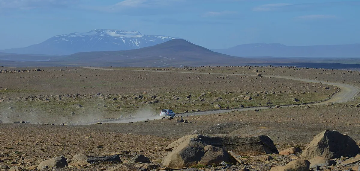
Kverkfjöll can only be reached through the highlands. F910 and F902 are the F-roads named for this area. F-roads are unpaved mountain tracks, and many include unbridged rivers. You need a 4x4 that your rental contract covers for F-roads and river crossings. There is no public transport and no regular mobile signal across much of the interior. Highland roads open seasonally, so never assume a summer date. Use the Vatnajökull sector map to see how this northern sector relates to the rest of the park. Check the Icelandic Road and Coastal Administration for current openings at road.is.
- Check road.is for F910 and F902 status on the day you travel
- Confirm your rental insurance covers F-roads and river crossings
- Fill the tank before leaving the Ring Road, since there is no fuel in the highlands
- Tell someone your route and expected return
What to See and Do
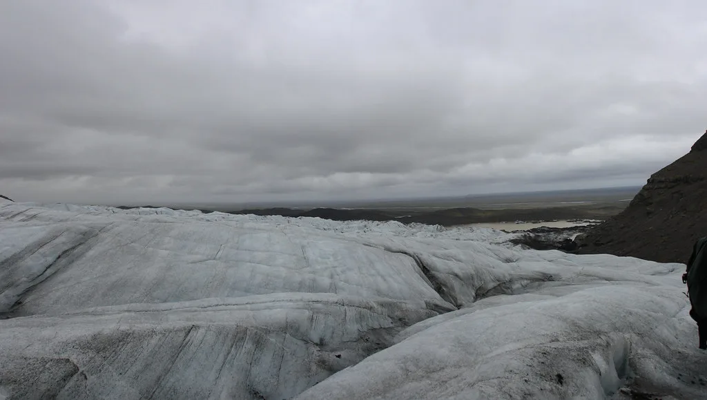
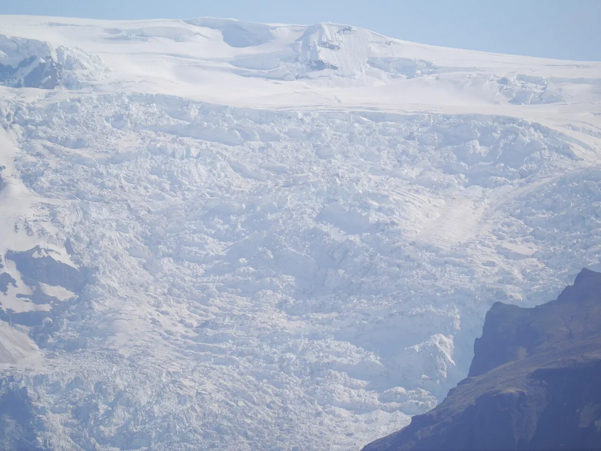
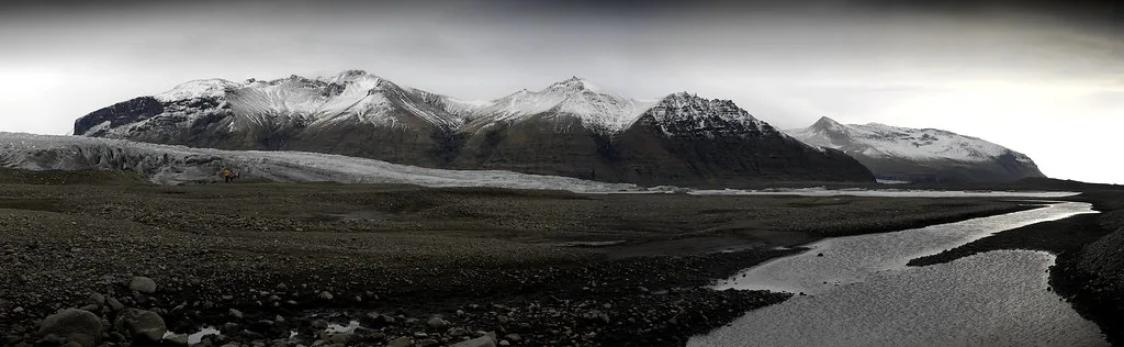
The Kverkjökull glacier tongue is the headline sight. Geothermal ground near the ice edge produces steam and warm water. Ice caves form where geothermal heat meets the glacier. They change constantly and can be dangerous, so no cave is ever guaranteed. Walking beyond the hut area is a general hiking proposition: pick routes from park information, not from photos. For official area rules and warnings, see Vatnajökull National Park.
Where to Stay: Huts and Camping
The standard base is Sigurðarskáli, a mountain hut run by the Iceland Glaciological Society (jorfi.is). The society lists sleeping-bag accommodation. There are no hotels in this part of the highlands. Book the hut through jorfi.is rather than relying on a walk-in space. Bring food, water containers and all supplies. Camping rules are set by the national park, so check them before pitching a tent.
Safety, Weather and Conditions
Three hazards matter most: unbridged rivers, hot ground and glacier ice. Do not walk onto the glacier without a guide and proper equipment. Steaming ground can break through into scalding water, so stay on marked paths. Highland weather turns fast, even when the coast looks calm. Check forecasts from the Icelandic Met Office and safetravel.is on the morning you leave. Turn back if a river looks high or milky and fast.
Sample Plans and Time Trade-Offs
The main cost is the detour from the Ring Road, plus the weather risk. A short visit means a long day each way, so an overnight at the hut is more realistic. Pair it with the crater lake at Askja on the same highland circuit. Finish at the falls of Dettifoss on your way back toward the coast. The horseshoe canyon of Ásbyrgi marks the northern end of the park. Short on time? The south side is easier. Walk to a waterfall at Svartifoss in Skaftafell. Another highland volcanic landscape is Laki. Guided options are worth comparing on Vatnajökull tours, but confirm which ones go to the north side.
- Mistake: renting a car with no F-road or river-crossing cover
- Mistake: skipping the road.is check before you leave
- Mistake: arriving at the hut without food or a booking
- Mistake: counting on mobile signal for navigation or help
Notes for your next park visit
Optional updates to our national park guides.
Read next

Keep planning
Picked from the same area