
Jotunheimen National Park: Hikes, Season, Access and Safety Guide
Plan Jotunheimen National Park: Besseggen vs. Galdhøpiggen, best season, how to get there, where to stay and the safety rules that matter.
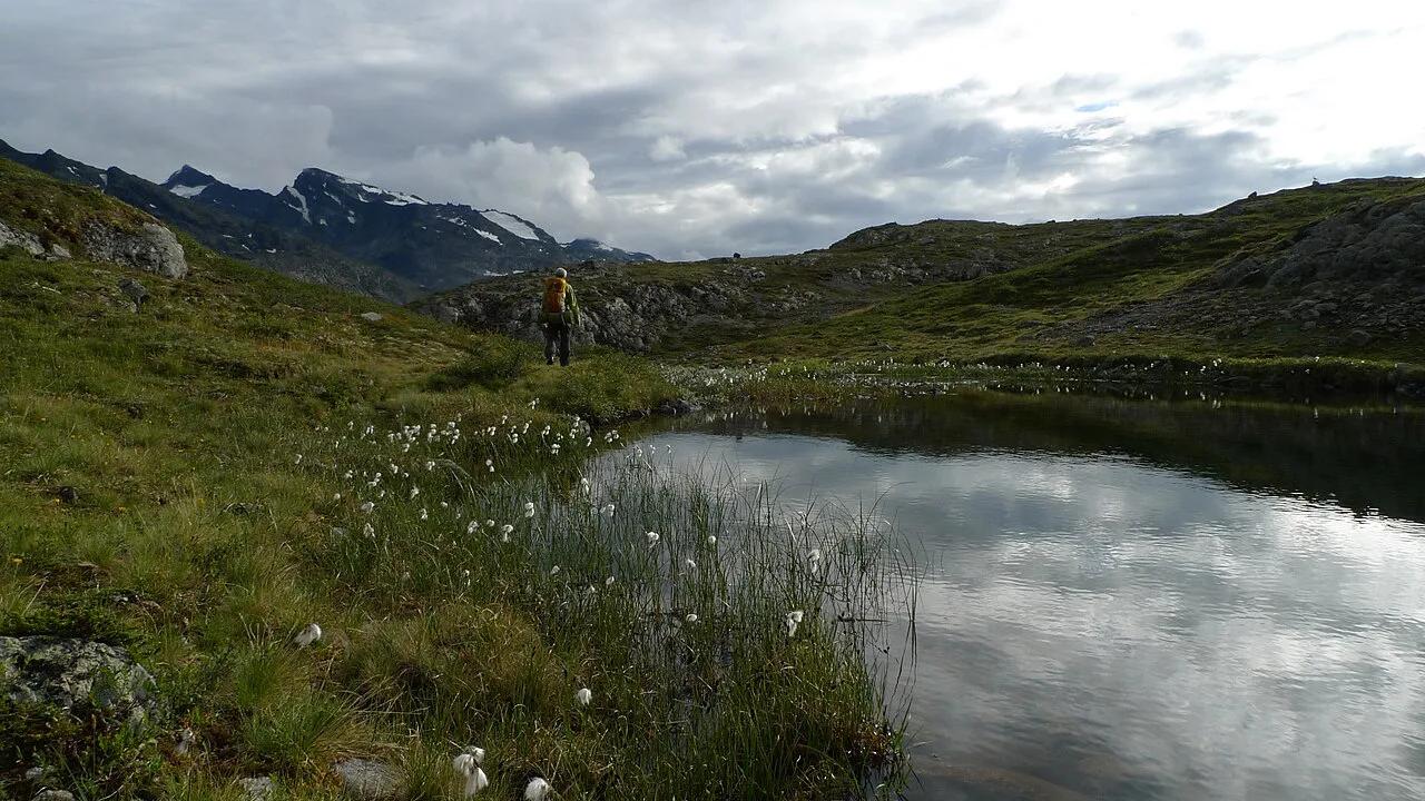
Last updated November 2026. Jotunheimen National Park is a mountain park in Innlandet, inland southern Norway, and it holds the country's highest summits. This guide compares the main hikes, explains the gateways and seasons, and flags where a guide is needed. It is one of the parks in our Norway national parks overview.
Featured image: Kristoffer Trolle from Copenhagen, Denmark, CC BY 2.0, via Wikimedia Commons.
What Jotunheimen National Park is
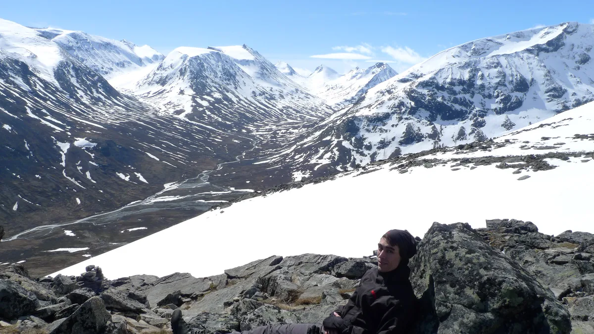
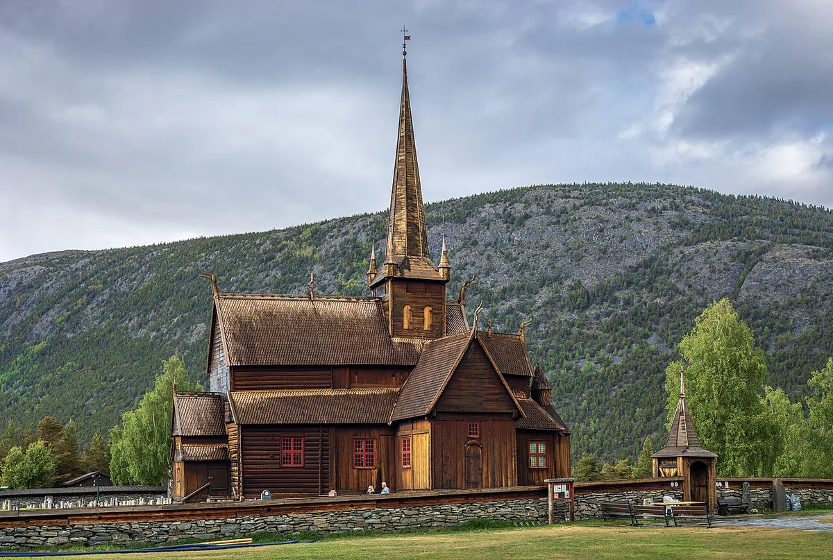
Jotunheimen means "Home of the Giants", and the peaks earn the name. Galdhøpiggen reaches 2,469 m and is Norway's highest point. Glittertind is the other headline summit, but its snow cap makes the quoted height variable, so check the current official figure. Lake Gjende and the darker Lake Bessvatnet sit on either side of the Besseggen ridge, the park's best-known hike. Lom, with its wooden stave church dating to the 12th century, is the main valley town on the north side. Jotunheimen is a national park, not a UNESCO World Heritage Site. Some travel blogs say otherwise, so check the UNESCO list if you want to be sure. For size, rules and protection status, use the official page at Nasjonalparkriket.
Best hikes in Jotunheimen compared
Pick the hike by your fitness and your tolerance for exposure. Besseggen is the classic, and the route includes rocky passages where you use your hands. Galdhøpiggen is the summit prize, but the approach decides the difficulty. Gentler options start from Gjendesheim, Valdresflye and Leirvassbu. For the lake itself, read our guide to Gjende.
| Hike | Start point | Route character | Who should skip |
|---|---|---|---|
| Besseggen ridge | Gjendesheim, ending at Memurubu | Ridge between Gjende and Bessvatnet, with hands-on rock | Anyone nervous about heights or exposure |
| Galdhøpiggen, unguided | Spiterstulen | Marked trail to Norway's highest summit | Beginners and anyone without mountain experience |
| Galdhøpiggen, glacier route | Juvasshytta | Crosses a glacier; normally needs a guide and rope | Anyone unwilling to hire a guide |
| Synshorn | Gjendesheim | Summit with views over Gjende | Those wanting a flat walk |
| Urdadalen | Valley trails | Gentle valley terrain | Hikers wanting summits |
| Bygdin and Valdresflye | Bygdin lake and the eastern plateau | Easy lake and plateau walks | Those chasing big peaks |
| Veslefjellet | Near Leirvassbu | Short hike with wide views | Those wanting a full-day challenge |
- Mistake to avoid: treating Besseggen as a casual walk. Allow for rock scrambling and weather.
- Mistake to avoid: planning Besseggen as a loop without checking the one-way boat and return options.
- Mistake to avoid: assuming every Galdhøpiggen route is unguided.
Best time to visit Jotunheimen
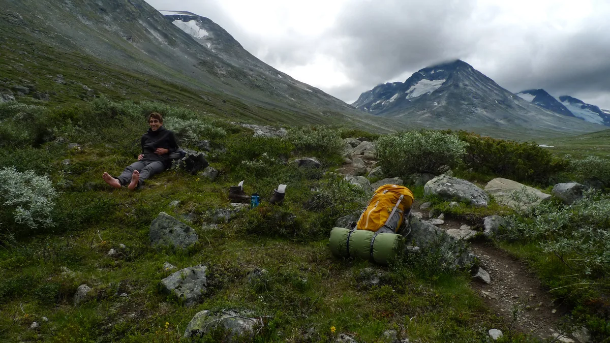
Summer suits hiking best. Most lodges and visitor facilities open from late June to early September, though dates vary by year and lodge. Early summer can still hold snow on high routes. September to October brings autumn colour and thinner crowds, but high routes and lodges may be closed. Winter, roughly December to April, suits ski touring and snowshoeing, with limited lodge access. Spring melt keeps high trails snowy until early summer, so stick to lower valleys. Check forecasts on Jotunheimen Weather by Season: Temps, Wind & When to Go before every outing.
How to get there and get around
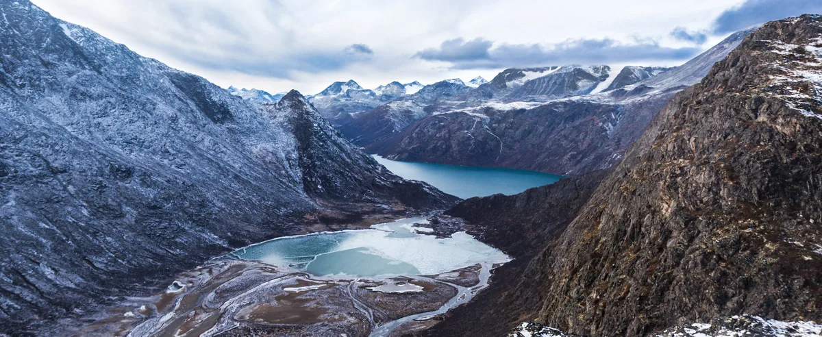
A car is the most practical way to reach several trailheads. Four gateways cover most plans. Lom and Bøverdalen lead to Spiterstulen and Galdhøpiggen. Gjendesheim serves Besseggen and Synshorn. Fossbergom and the Leirvassbu area give access to the central peaks. Beitostølen and Valdres lie on the eastern side. Buses and boats exist on some legs, including on Lake Gjende. Check operators for current schedules and parking before you travel. Our Jotunheimen Map: Best Hiking and Topographic Maps (Guide) shows how these gateways connect.
Where to stay
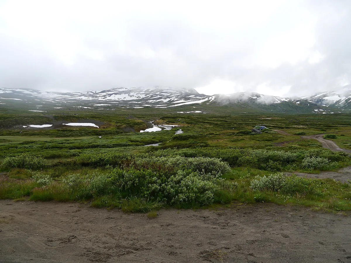
Stay near the hike you plan to do. Gjendesheim and Memurubu sit on Lake Gjende and suit Besseggen. Spiterstulen is the base for the unguided Galdhøpiggen route. Leirvassbu is the base for Veslefjellet and nearby mountains. Turtagrø is a mountain lodge among the high peaks. Lom works as a valley base with more services. Cabins are the closest to the trails. A valley base gives more flexibility when weather turns. Book early for summer, and check opening dates with the lodge or DNT.
Costs and permits
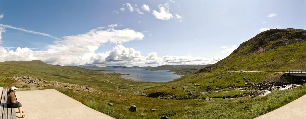
No sourced entry or cabin prices are available here. Check current rates with each lodge, guide operator and the national park pages before you budget.
Guided tours and when you need one
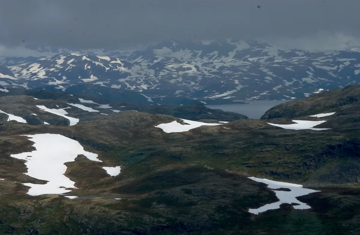
The Juvasshytta route to Galdhøpiggen crosses a glacier and normally needs a guide and a rope. The Spiterstulen route follows a marked trail without glacier travel. Pick the route that matches your skills and gear. For glacier walks and mountaineering, ask local operators such as Norsk Fjellsenter in Lom about current tours, requirements and prices.
Galdhøpiggen at 2,469 m can be reached on the marked Spiterstulen trail without a guide; only the Juvasshytta glacier route needs one.
Safety and precautions
Weather at altitude changes fast. Pack layers, waterproofs, food, water and a paper map. Check trail conditions and forecasts before you set off. Snow can linger on high routes into early summer. Start early, because daylight and weather windows shape the day. Glaciers need a guide and proper equipment. Turn back if visibility drops. Use Varsom and yr.no for conditions, and carry a charged phone.
Sample itineraries
Match the plan to the days you have. These outlines are our own suggestions, not fixed schedules.
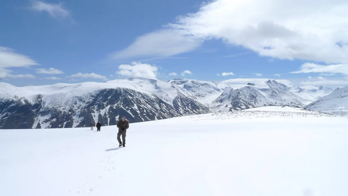
- One day: hike Besseggen from Gjendesheim, or take a shorter walk such as Synshorn.
- Two to three days: base at Gjendesheim or Memurubu for Besseggen, then move to Lom or Spiterstulen for Galdhøpiggen.
- Four days or more: add Valdresflye, Urdadalen and a rest day, then visit Lom stave church.
- Glacier add-on: Nigardsbreen works as a half-day detour west of the park.
- Another option: Briksdal Glacier (Briksdalsbreen): Getting There, Walk Time & Tips suits travellers heading toward Nordfjord.
Pairing Jotunheimen with other Norway parks
Jotunheimen sits among several parks worth combining. Glacier fans can read about Jostedalsbreen National Park: Which Glacier Arm to Visit. Gentler terrain lies in Rondane National Park: Hiking, Access Points and Planning Guide. Wildlife seekers can try Dovrefjell National Park: Hikes, Wildlife & Planning. A quieter alpine option is Reinheimen National Park: Access, Hikes and Planning Guide. For plateau scenery, see Hardangervidda National Park: Hikes, Access & Planning. For coast and ice, look at Folgefonna National Park: Glacier Walks and Access. Further north, Lofotodden National Park: Hikes, Access & Planning offers a very different landscape.
Plan the Besseggen Boat Logistics
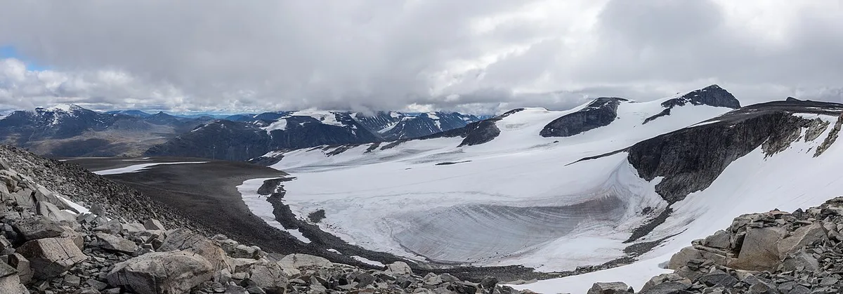
Besseggen is easiest to plan as a 1-way ridge hike, not a loop. The standard route starts at Gjendesheim and finishes at Memurubu. It runs between 2 very different lakes: bright Lake Gjende and darker Lake Bessvatnet.
Decide your direction before booking accommodation or transport. Starting from Gjendesheim puts the ridge early in the day. Ending at Memurubu means you need to check Lake Gjende boat options for your return. Starting from Memurubu reverses that arrangement and may suit hikers who prefer the ridge later.
Check the boat operator's timetable, booking rules and parking information before travelling. Services can be seasonal, and weather can affect the plan. Carry enough food, water and warm waterproof layers for the full crossing. If conditions deteriorate or the ridge feels beyond your comfort level, turn back rather than relying on a late transport connection.
Frequently Asked Questions
Where is Jotunheim in real life?
Jotunheimen is in Innlandet county in inland southern Norway. Lom, Bøverdalen and Gjendesheim are among its main gateways.
What does the name Jotunheimen mean?
Jotunheimen means "Home of the Giants". The name fits a park that holds Norway's highest peaks.
What is the best national park in Norway?
It depends on what you want. Jotunheimen suits high peaks and ridge hikes, and our ranking of Norway's parks compares the alternatives.
Notes for your next park visit
Optional updates to our national park guides.
Read next

Keep planning
Picked from the same area