
Rondane National Park: Hiking, Access Points and Planning Guide
Plan Rondane National Park: where to base yourself, what to hike or drive, seasonal access, costs and how it compares with nearby Norwegian parks.
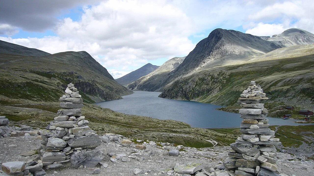
Last updated November 2026. Rondane National Park in Innlandet became Norway's first national park in 1962, and it suits day hikers, multi-day trekkers and drivers who want mountain views without a long walk. It is a separate park from neighboring Dovrefjell and from Jotunheimen, so pick your base with that in mind. Use this guide to choose an access point, a trip length and a season.
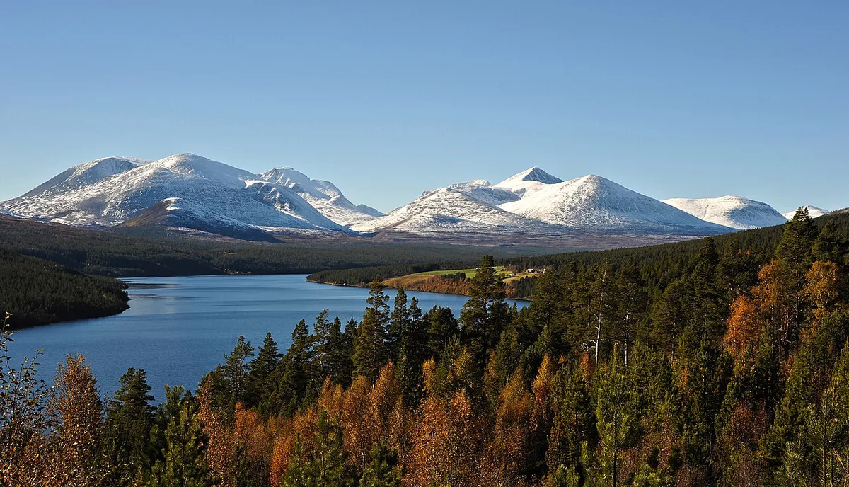
Featured image: Dpdanthony, CC BY 3.0, via Wikimedia Commons.
Rondane National Park at a Glance
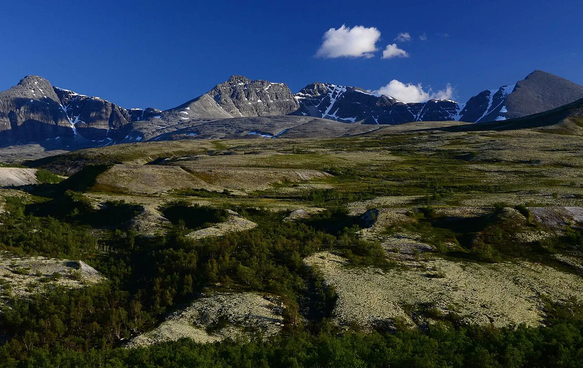
Rondane covers about 963 km² (372 sq mi) of high mountain country in Innlandet, inland eastern Norway. Ten peaks rise above 2,000 m (6,562 ft), and the park is described by Nasjonalparkriket as one of the region's flagship protected areas. Vehicles are not allowed inside, so you explore on foot or by bike from the edges. It is one of several parks covered in our guide to Norway's national parks.
- Designated: 1962, Norway's first national park
- Area: about 963 km² (372 sq mi)
- Peaks above 2,000 m (6,562 ft): ten
- Main gateways: Rondablikk, Mysusæter, Spranget, Otta and Strømbu
- Best for: day hikes, multi-day treks, scenic driving on Fv27
Best Things to Do in Rondane
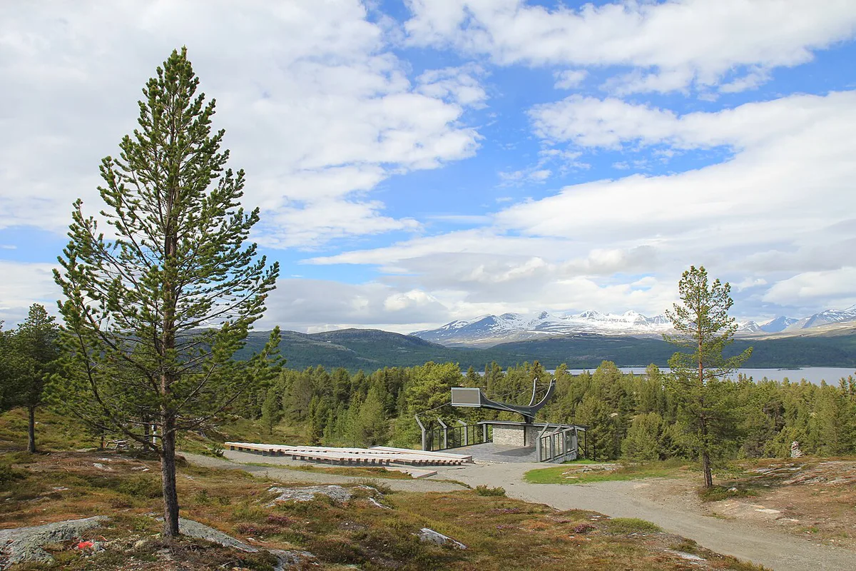
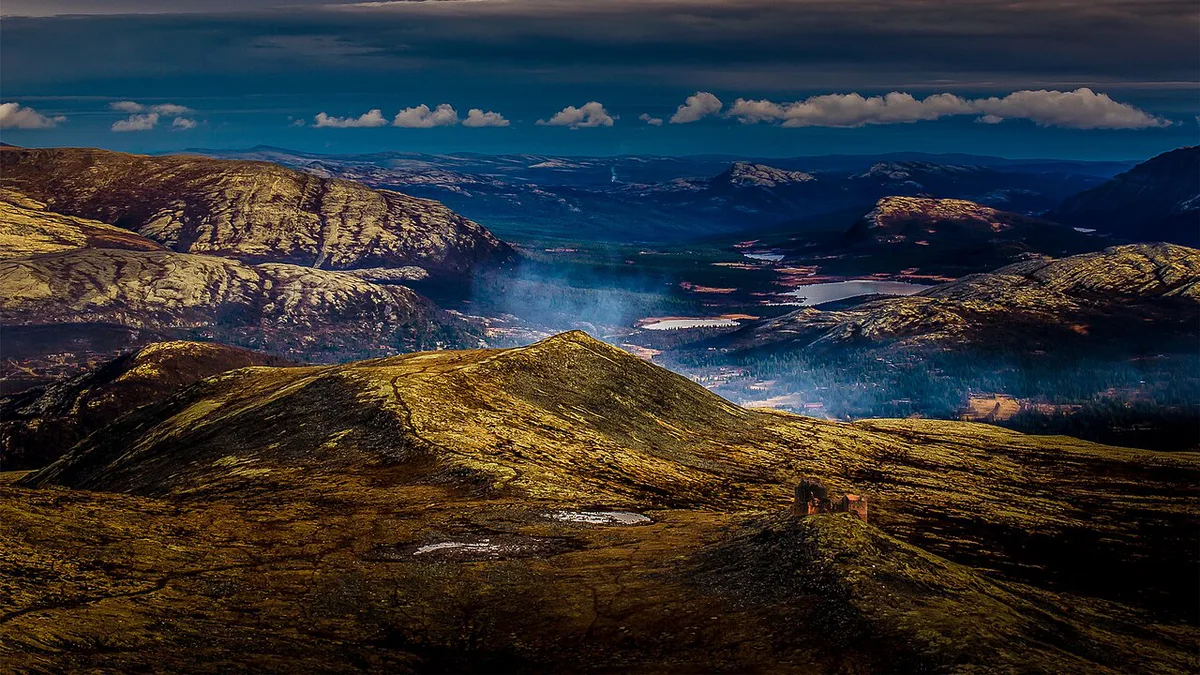
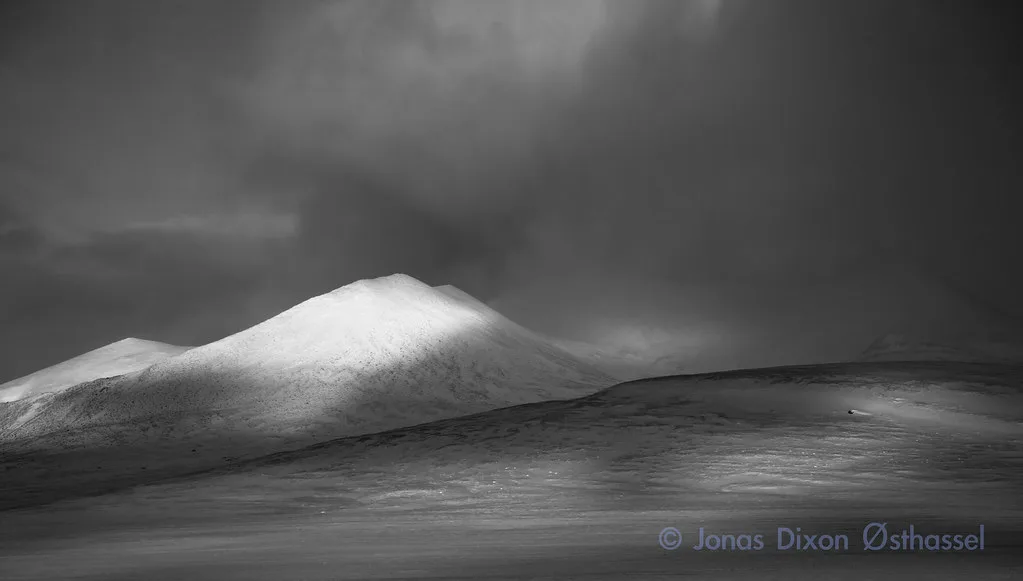
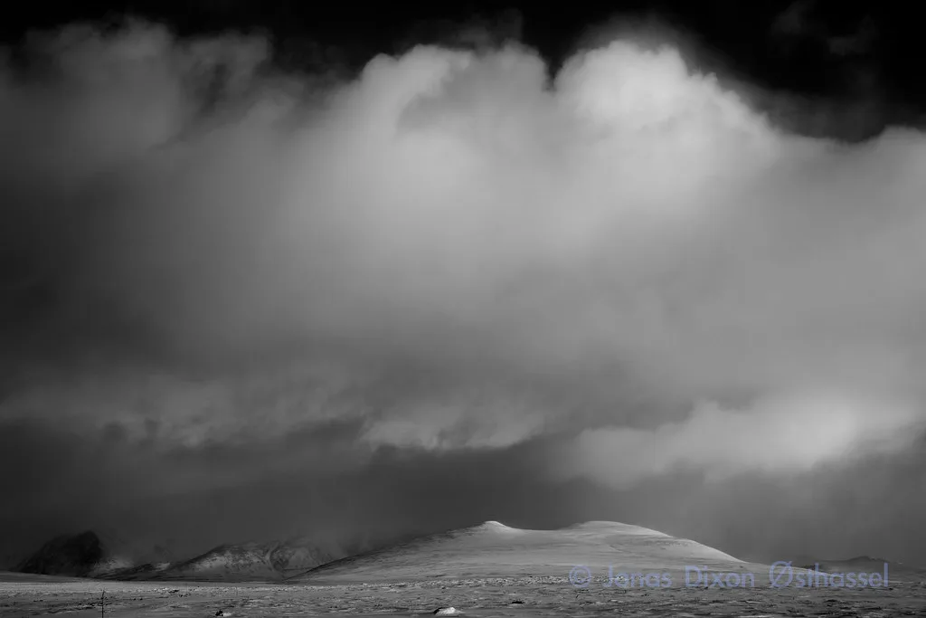
Hiking is the main draw. Trails from Strømbu cross birch forest and pine plains, with views of the big peaks, and longer routes link into multi-day treks. Muen (1,424 m, about 4,672 ft) is the easiest summit, with a trail on its south side and roughly one hour to the top. From Sohlbergplassen, a wooden viewing platform on Lake Atnsjøen, you look across to the Rondane massif from the spot where Harald Sohlberg painted Winter Night in Rondane in 1914. Drivers can follow Fv27, a National Scenic Route that runs alongside the park. Cyclists can start at Venabygdsfjellet and roll down toward the valley at Enden.
Choosing Your Base: Access Points Compared
Rondane has no road through it, so your base decides your trip. Strømbu is the usual choice for walkers, and Venabygdsfjellet works for a short summit. Rail users can reach Otta or Atna and continue by local bus, so check Entur for current times.
| Base | Best for | Effort | Season and services |
|---|---|---|---|
| Strømbu | Day hikers and trekkers | Moderate to high | Toilets open Easter to end of October; area reachable outside that |
| Venabygdsfjellet / Muen pass | Non-hikers and short summit walkers | Low to moderate | Parking at the pass; Muen about 1 hour up |
| Atnsjøen / Sohlbergplassen | Viewpoint stop, photographers | Low | Atnbrufossen toilets mid-June to mid-August |
| Sollia | Church visit, quiet valley base | Low | Check locally |
| Folldal | Mining heritage, road trip end | Low | Check locally |
How to Plan Your Time
Half a day is enough for roadside stops at Sohlbergplassen and Atnbrufossen. One full day fits the Muen hike, the viewpoint and the church at Sollia. Two or three days let you base yourself at Strømbu and walk a longer route. Mountain weather changes fast, so check yr.no before any hike. Do not assume facilities run all year, and do not plan to drive into the park. Older maps may show outdated road numbers after the 2019 renumbering of many Norwegian roads.
Pair the Muen hike with Sollia church in one day, since the church is only 11 minutes from Enden on Fv219.
Costs, Access and Seasonal Opening
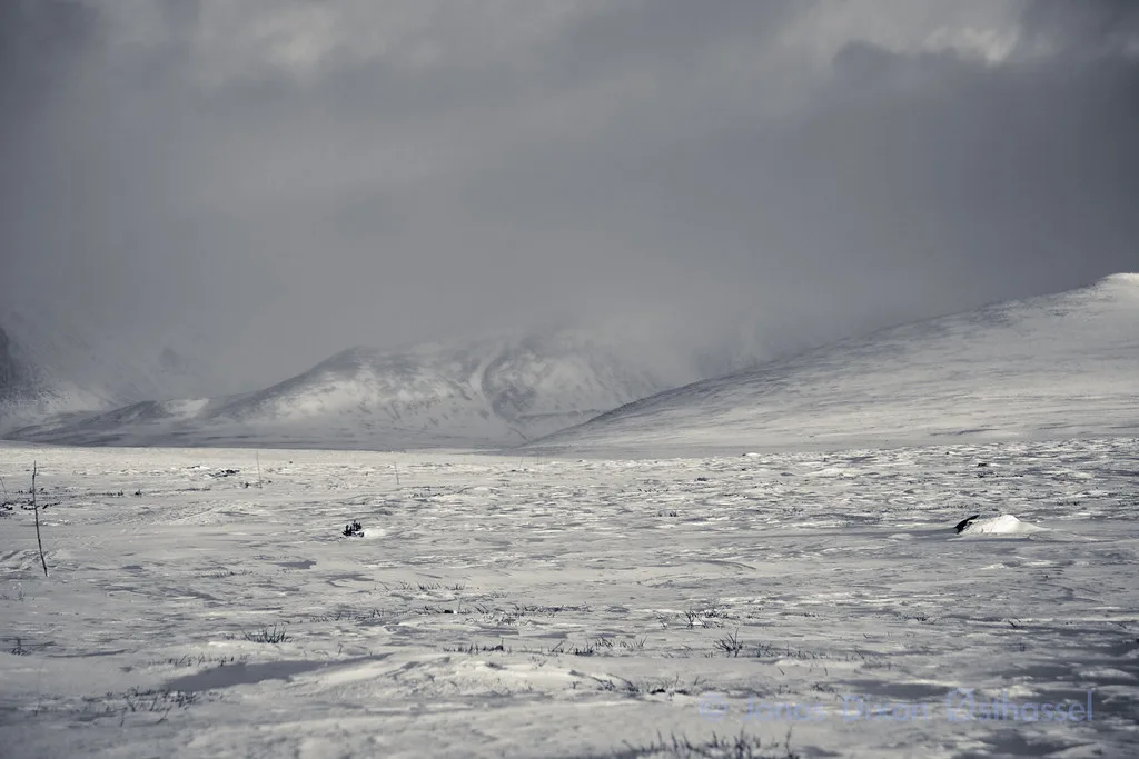
Entry to Norwegian national parks is generally free, though you should check the park's official page for current rules. Parking, hut fees and museum hours are set locally, so look them up with DNT and each venue before you go. Fv27 is open all year at a high point of 1,060 m (3,478 ft). Short closures can hit the stretch over Ringebufjellet in bad weather. Toilets at Atnbrufossen run mid-June to mid-August, and those at Strømbu run Easter to end of October. Stay options range from mountain lodges and DNT huts to valley guesthouses and campsites, so match your lodging to your base in the table above.
Getting There and Getting Around
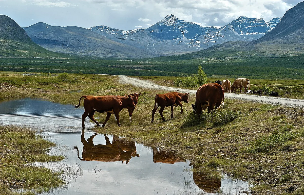
Driving is the main way in. Lillehammer is about 43 miles (70 km) from Venabygdsfjellet. Trains reach Otta and Atna, which also serve as park gateways, and local buses continue from there on schedules that change by season. Fv27 runs about 46 miles (75 km) from Venabygdsfjellet to Folldal as a National Scenic Route. The full road is about 50 miles (82 km) long. Check the latest road status before you drive.
The Fv27 Road Trip: Stops Worth Making
Treat the road as a low-effort way in rather than the whole trip. Stops run in this order from Venabygdsfjellet toward Folldal.
- Muen: pass parking and a 1-hour summit hike
- Sollia Kirke: about 7 miles (12 km) and 11 minutes from Enden along Fv219; church finished in 1738
- Atnbrufossen: waterfall and a water-use museum in a former sawmill and power station
- Sohlbergplassen: viewing platform on Lake Atnsjøen
- Strømbu: roof terrace and trailheads
- Folldal: copper, zinc and sulphur mines opened in 1748 and closed in 1993
Rondane vs Nearby Parks: Which Should You Pick?
Pick Rondane for rounded peaks, easy road access and a quiet feel. Choose Jotunheimen if you want higher alpine terrain. Hardangervidda suits long plateau treks. Reinheimen is another inland option. Dovrefjell sits closest and pairs easily with Rondane on one trip. Our ranking of the best parks helps you compare them.
Frequently Asked Questions
What are the national parks in Norway?
Norway has dozens of national parks, from Rondane in Innlandet to Lofotodden in the north. Our national parks overview lists them.
What is the best national park in Norway?
It depends on terrain and trip length. Rondane suits easy access and moderate hikes, while Jotunheimen offers higher peaks. See our best parks ranking to compare.
Notes for your next park visit
Optional updates to our national park guides.
Read next

Keep planning
Picked from the same area