
Reinheimen National Park: Access, Hikes and Planning Guide
Plan a trip to Reinheimen National Park in Norway: where it is, how to get there, what to do, when to go, and how it compares with nearby parks.
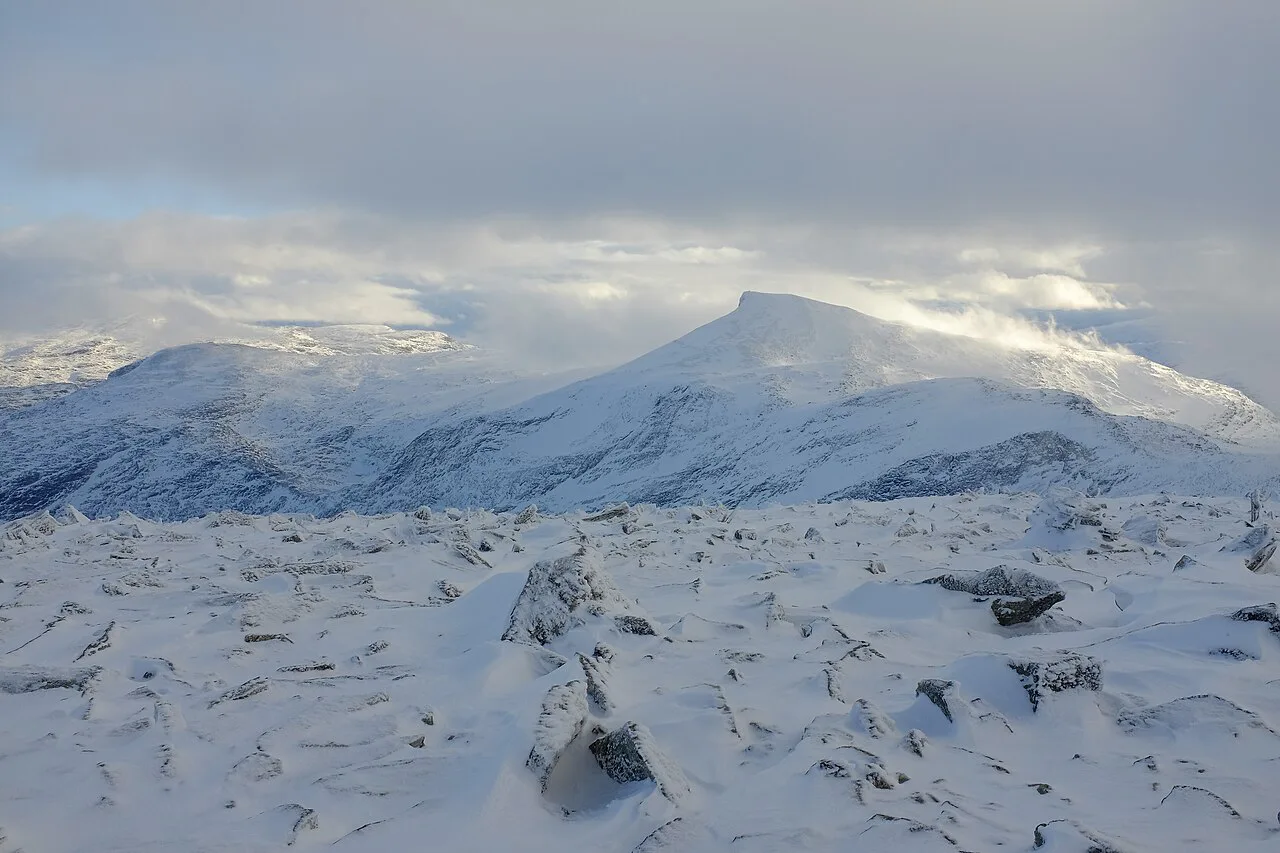
Last updated November 2026. Reinheimen National Park was established in 2006 and spans Møre og Romsdal and Innlandet counties in southern Norway. It suits independent hikers who want wild, less-visited mountains rather than ticketed attractions. Expect little tourist infrastructure, so plan access, season and navigation before you leave.
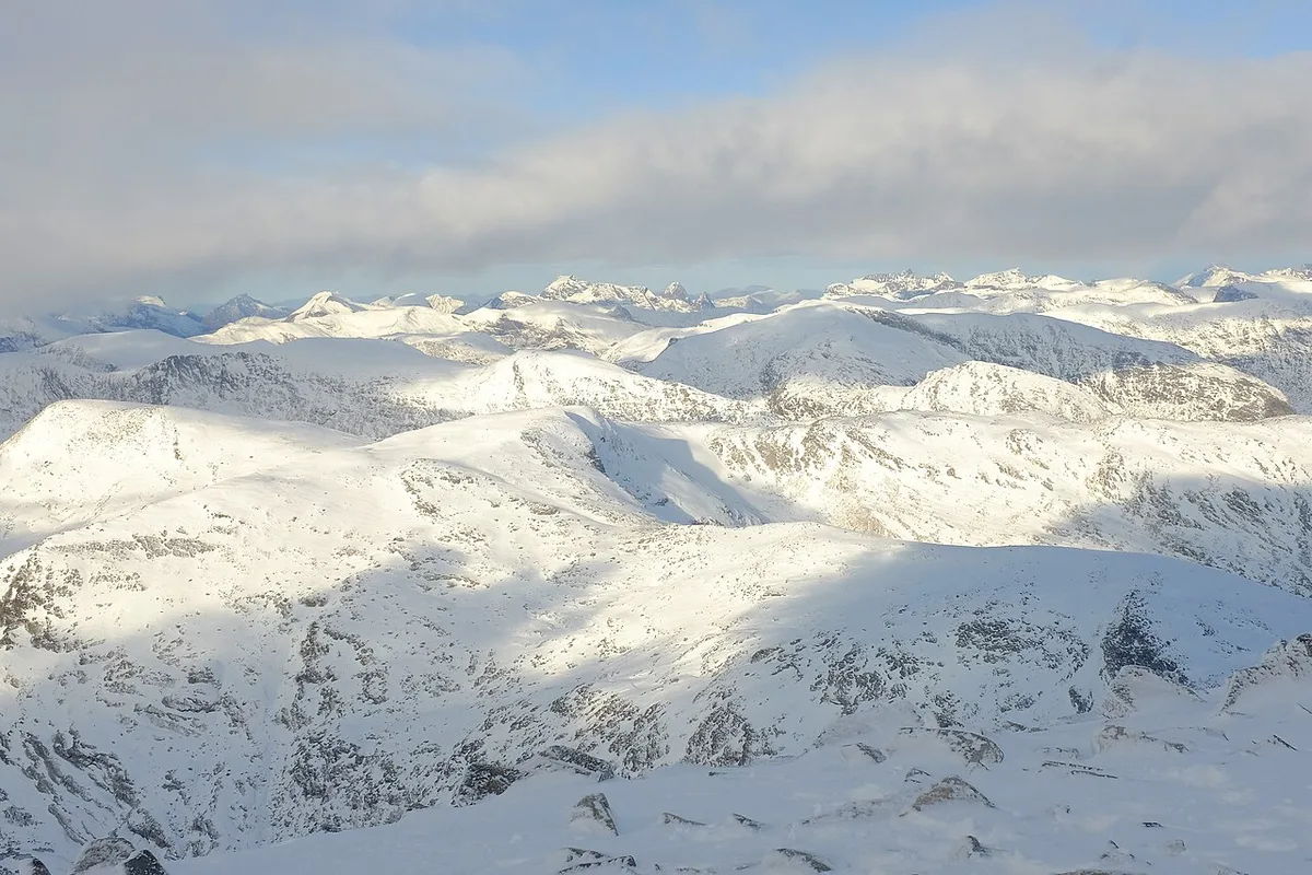
Featured image: Frankemann, CC BY-SA 4.0, via Wikimedia Commons.
Reinheimen National Park at a glance
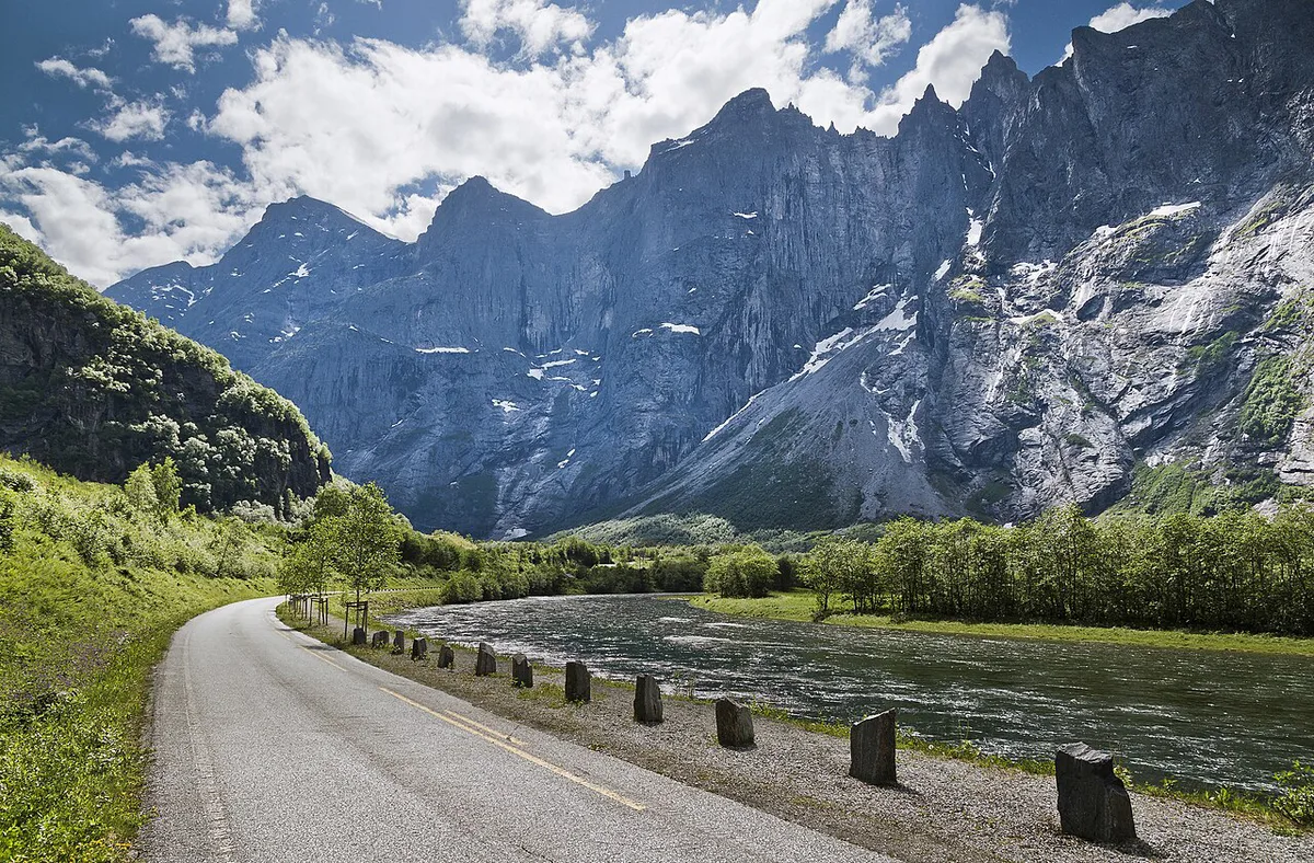
Reinheimen is a mountain national park that opened in 2006. Its area covers parts of two counties, and the national park centre network is the place to start for official information. One travel listing describes peaks above 2,000 m, so expect real high-mountain terrain rather than gentle valley walking. Its mix of wild reindeer habitat and cultural heritage sets it apart from glacier parks nearby.
- Established: 2006
- Counties: Møre og Romsdal and Innlandet
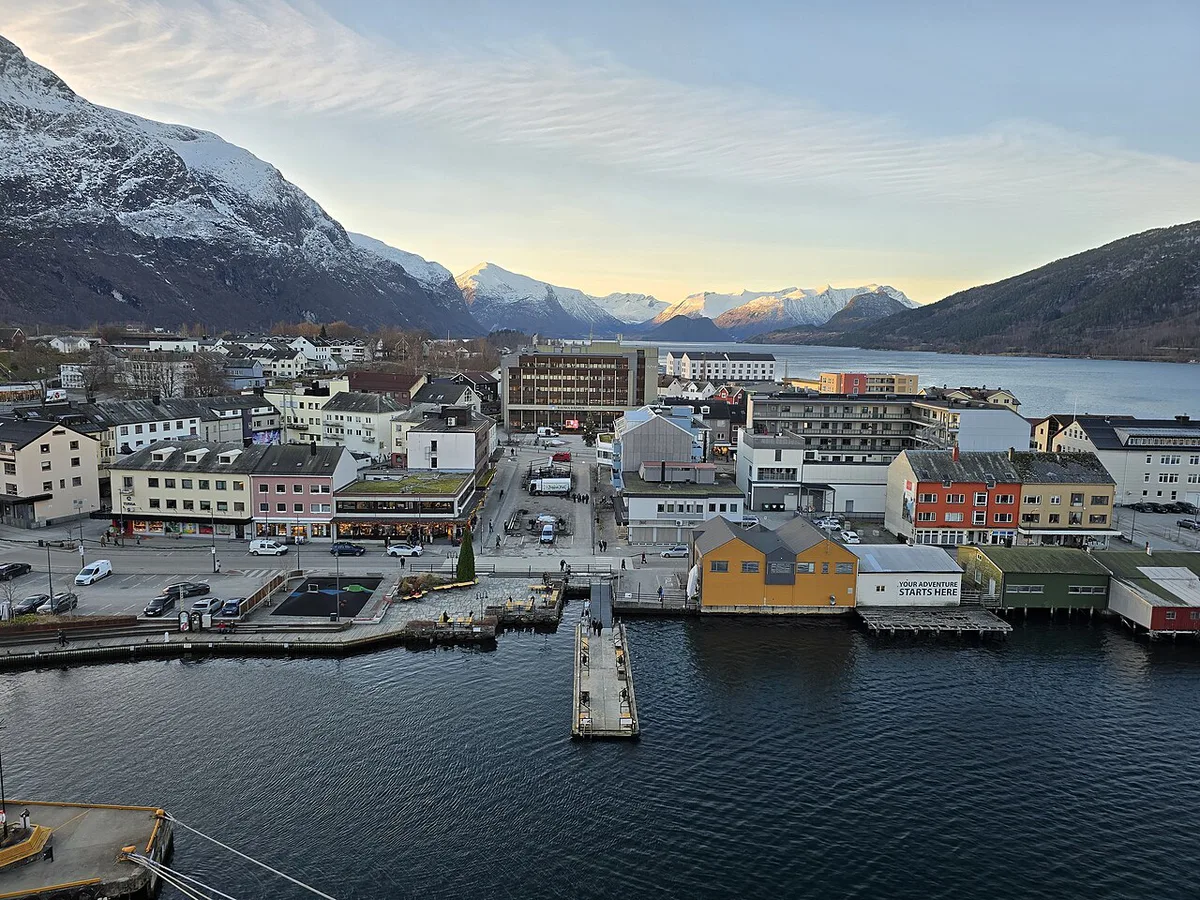
- Access towns: Lom, Skjåk, Lesja, Åndalsnes, and the Romsdalen valley
- Character: high mountains with limited visitor facilities
- Best for: self-guided hikers and road-trippers wanting a quiet alternative
Is Reinheimen worth visiting?
Reinheimen rewards people who plan their own days. It is a weaker choice if you want a staffed visitor attraction with a fixed entry time. Use the criteria below to decide.
- Self-guided hikers: a strong fit, especially if you already know Norwegian mountain conditions.
- Short-stop road-trippers: fine for a viewpoint stop or a short walk near the roads.
- Families with young children: choose short, low-level walks and keep turn-back times generous.
- Ticketed-attraction seekers: head for Briksdal Glacier (Briksdalsbreen): Getting There, Walk Time & Tips or Nigardsbreen instead.
How to get there and get around
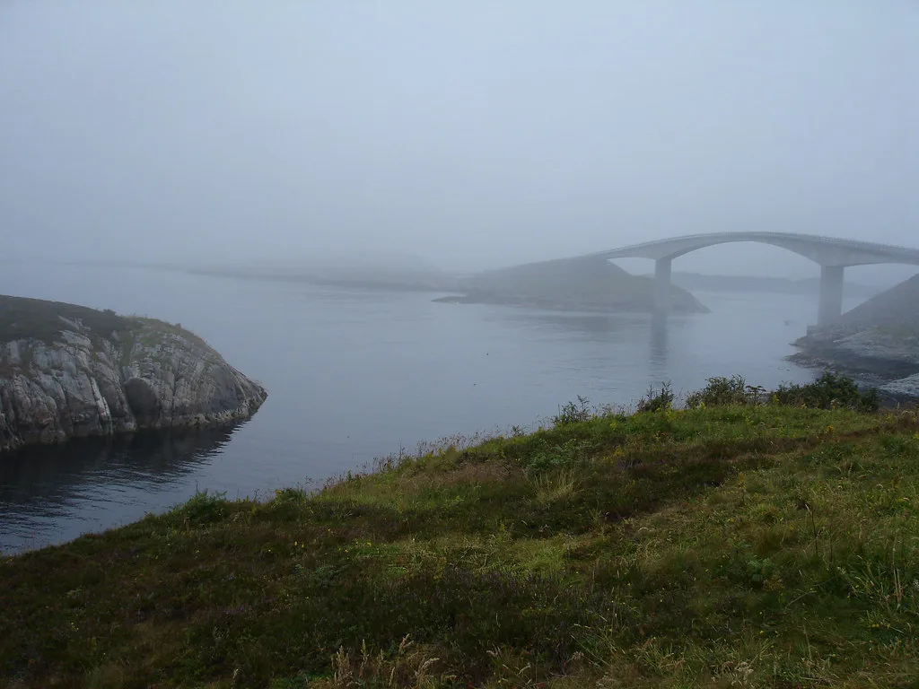
The notes for this region place the park between Lom, Skjåk, Lesja, Romsdalen and Åndalsnes. From Åndalsnes, the E136 runs up Romsdalen toward the park's western side. Bjorli is also listed as a location for the park. A car gives you the most flexibility, because trailheads sit away from big towns. Public transport is likely limited, so check timetables on Entur before you build an itinerary around buses or trains. For the Lom side, Norsk Fjellsenter in Lom is a practical place to ask about local conditions. Fill your fuel tank and buy supplies in a base town before heading to a trailhead.
Best things to do in Reinheimen
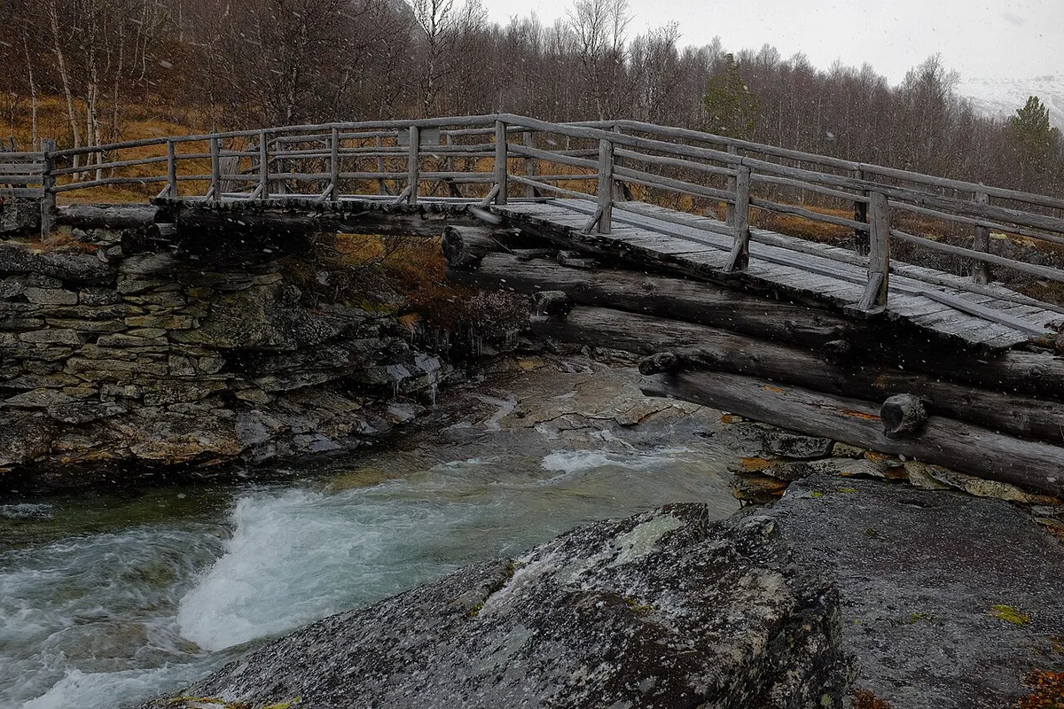
Group your plans by effort, then pick one base town. Route names, hut names and distances change with trail maintenance, so take them from UT.no and the park's official pages rather than from memory. Wild reindeer areas and cultural-heritage sites are part of the park's purpose, so keep distance from animals and stay on marked ground.
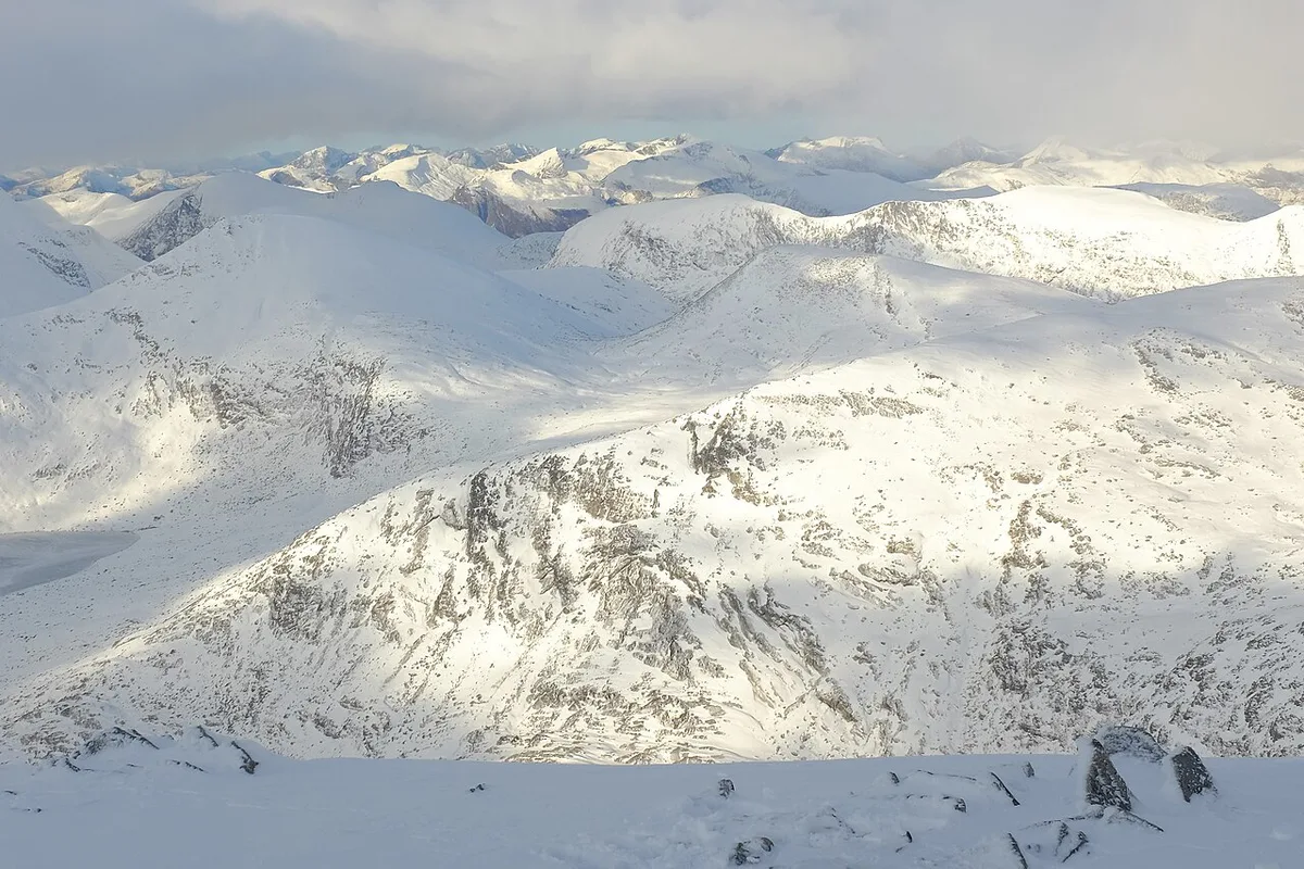
- Short walks and viewpoints: look for low-level paths near the E136 and your base town.
- Day hikes: choose a single marked route on UT.no with a clear turn-back point.
- Multi-day trekking: plan around huts, water sources and a paper map from Kartverket.
When to go and how long to stay
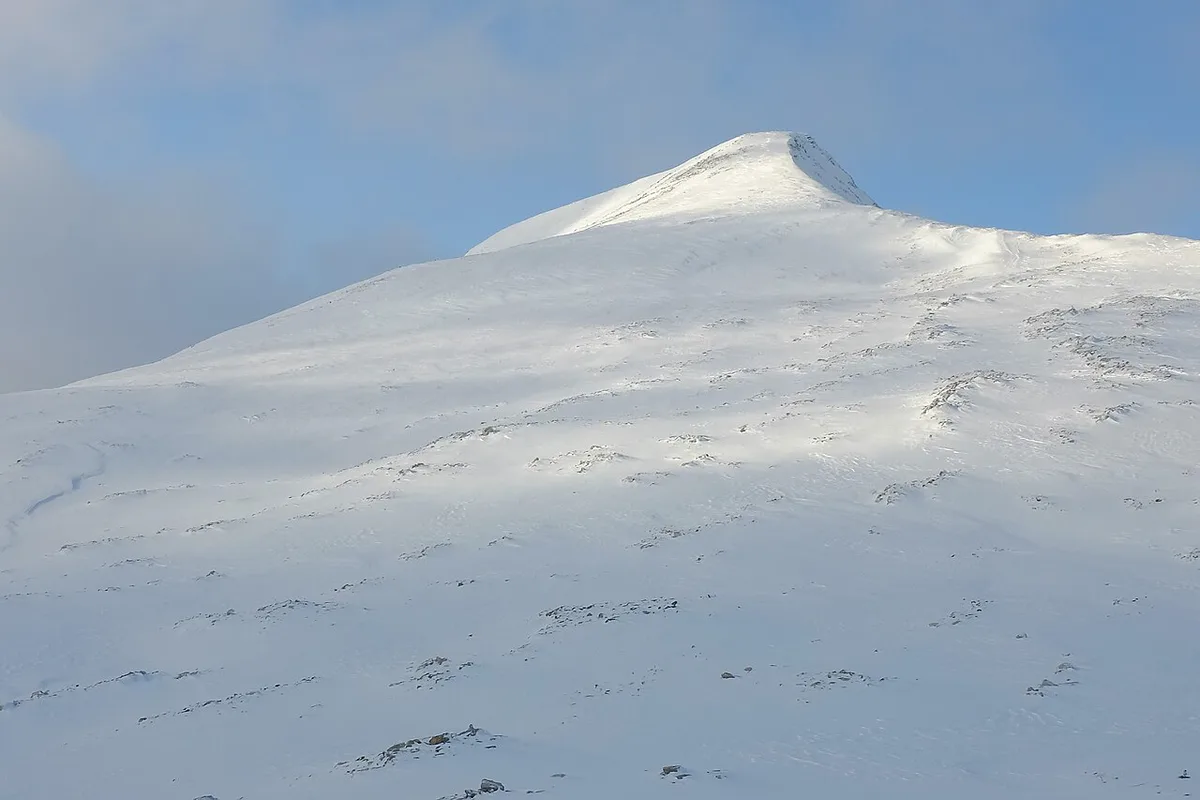
Snow can linger on high ground into early summer, so mid-to-late summer is the safer planning window for high routes. Check yr.no for the forecast and Statens vegvesen for road status close to your date. One day is enough for a road-side stop and a short walk. Two to three days let you attempt a proper day hike with weather in reserve. Longer trips need hut or camping logistics settled in advance.
| Trip length | Realistic plan | Check first |
|---|---|---|
| 1 day | Viewpoint stop and a short walk from the road | Road status, weather |
| 2–3 days | One day hike from a base town | UT.no route notes, snow cover |
| Multi-day | Hut-to-hut or camping trek | Hut booking, maps, navigation gear |
Costs, rules and where to stay
Hiking access in Norwegian national parks is generally free, but local rules on camping, fires, dogs and drones apply. Read the Reinheimen regulations on the official park pages before you pack. Budget differences come from where you sleep. Camping is cheapest, DNT huts need advance booking through their system, and lodging in Lom, Lesja or Åndalsnes adds comfort and drive time. Current fees and hut rates are published by DNT and each lodging provider, so use those pages for exact amounts.
Reinheimen vs nearby Norwegian national parks
Reinheimen is the quieter, less-developed choice. First-timers wanting more services often start with Jotunheimen. Our guide to Norway's national parks helps you compare the full set.
| Park | Use it when | Guide |
|---|---|---|
| Reinheimen | You want quiet mountains and plan your own route | This page |
| Jotunheimen | You want a better-known high-mountain hiking base | Jotunheimen guide |
| Rondane | You want open mountain country on a smaller scale | Rondane guide |
| Dovrefjell | You are interested in wildlife and plateau landscapes | Dovrefjell guide |
| Hardangervidda | You want a very large plateau for longer treks | Hardangervidda guide |
Safety and planning mistakes to avoid
Mountain weather in Norway changes fast, and mobile coverage can drop out in valleys and passes. Carry a paper map and a compass as backups to your phone. Early-summer snowfields and swollen rivers are the most common surprises for visitors who plan by calendar alone.
Snow can linger on peaks above 2,000 m into early summer, so a clear valley road does not guarantee a clear high route.
- Assuming roads and trails are clear because it is summer in the valley.
- Relying on a phone for navigation without a downloaded map.
- Planning a long route without a turn-back time.
- Arriving with no food, because supplies are limited near trailheads.
Frequently Asked Questions
What are the national parks in Norway?
Norway has a network of national parks across the mainland and Svalbard. Our national parks overview lists them and links to individual guides.
What is the best national park in Norway?
It depends on whether you want glaciers, plateaus or quiet peaks. Our ranked park comparison explains how to choose.
Notes for your next park visit
Optional updates to our national park guides.
Read next

Keep planning
Picked from the same area