
Lofotodden National Park: Hikes, Access & Planning
Planning Lofotodden National Park in Lofoten? Compare hikes like Ryten and Helvetestinden, boat vs. road access, season, and safety tips.
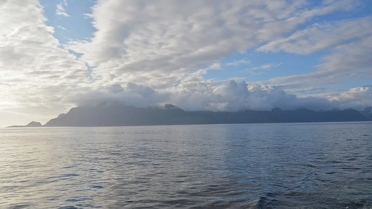
Last updated November 2026: Lofotodden National Park is a coastal park on Moskenesøya in Lofoten, Nordland, established in 2018. Its peaks rise straight out of the Atlantic, and most visits are day hikes from villages such as Reine and Å. Compare it with Norway's other national parks before you decide how much time to give it.
Featured image: Ryan Hodnett, CC BY-SA 4.0, via Wikimedia Commons.
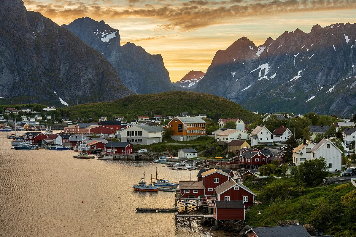
Lofotodden National Park at a glance
Lofotodden nasjonalpark covers the rugged southwestern side of Moskenesøya. Norway established it on 22 June 2018 and officially opened it on 9 June 2019. Sources give conflicting area figures, so check the current number with the park's managers before quoting one. Hikers use villages such as Å, Reine and Hamnøy as bases, and Vindstad sits at the mouth of Bunesfjord.
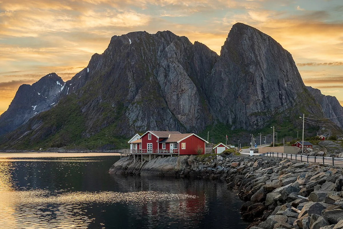
- Location: Moskenesøya, Lofoten archipelago, Nordland county
- Municipalities: Moskenes and Flakstad
- Established: 22 June 2018
- Officially opened: 9 June 2019
- Landscape: sharp peaks, steep walls and deep valleys that meet the sea
Is Lofotodden worth it? Who it suits and who should skip it
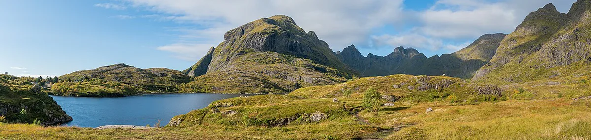
Lofotodden is a trail park, not a drive-through park. You come to climb a peak, walk to a beach or photograph ridgelines above the water. Hikers, photographers and anyone who wants sea-and-mountain scenery will get the most from it. Visitors without sturdy footwear or a head for heights should skip the summits and enjoy the coastline from the villages instead. Do not expect a staffed visitor centre at each trailhead. On a short Lofoten itinerary, one good-weather day on a single hike is a realistic goal. For a wider comparison, see our guide to the 8 Best National Parks in Norway: How to Choose.
How to get there
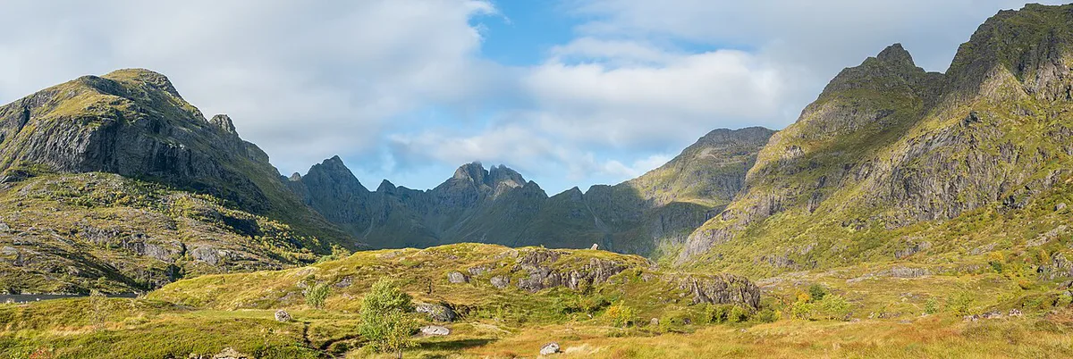
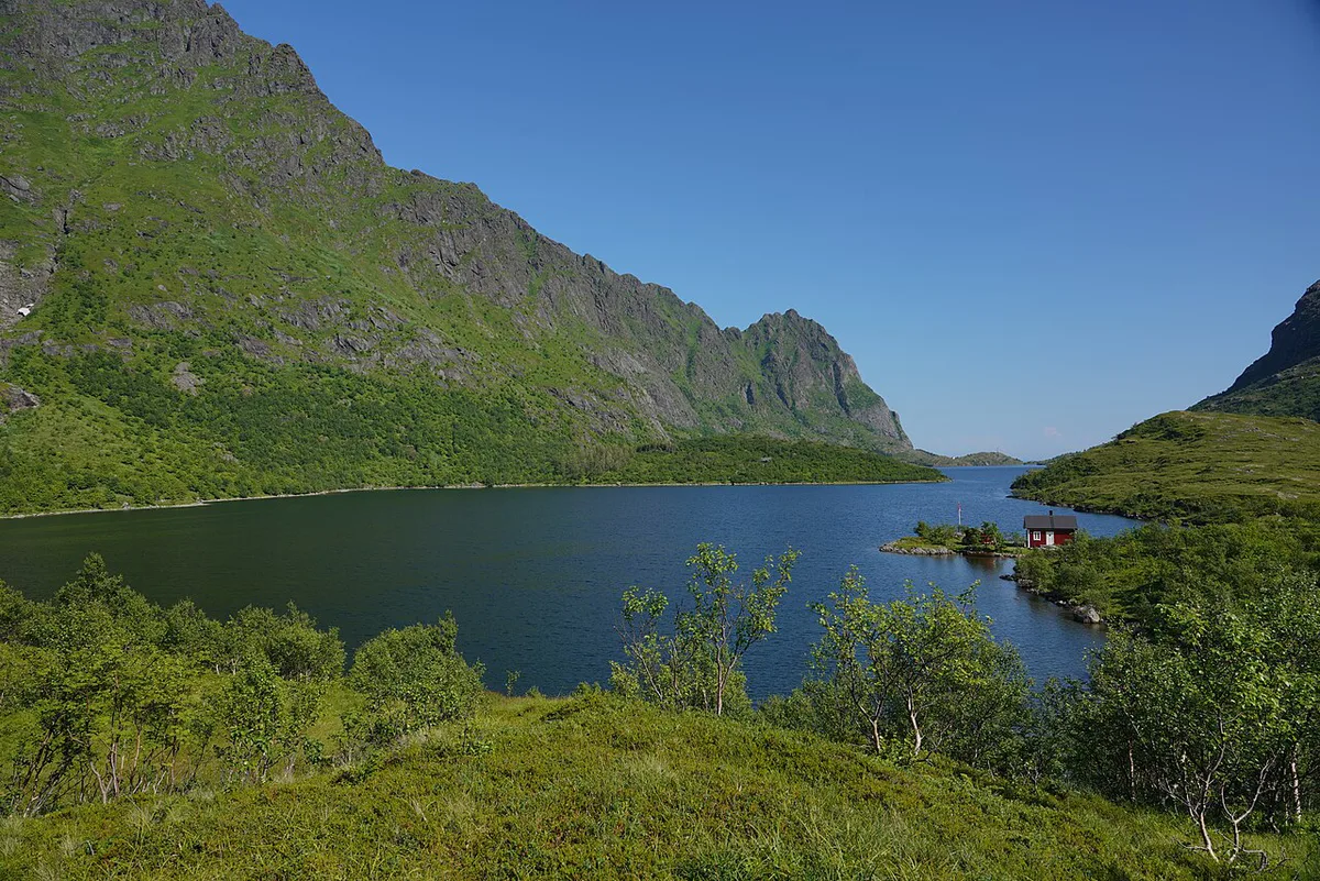
Lofotodden is reached through the Lofoten road network. The E10 runs south through Moskenes toward Reine and Å, and most road-access trailheads start near these villages. Plan your gateway and ferry or flight on Visit Lofoten, because schedules change by season. Some of the best-known hikes need a boat. Brunakseltinden and Bunes beach start at Vindstad, which you reach by boat from Reine. Ask the boat operator in Reine for current departures and fares. Without a car, base yourself in Reine or Å so trailheads stay close.
- Road access: Ryten and Kvalvika, Tindstinden above Å, Munken
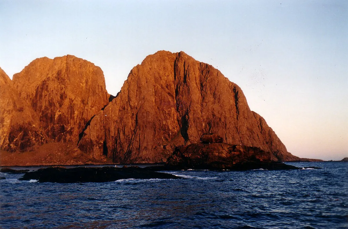
- Boat access: Vindstad, then Bunes beach, Helvetestinden and Brunakseltinden
- No car: stay in Reine or Å and check local buses and boats in advance
Best hikes in Lofotodden National Park
Pick by exposure and weather first, then by distance. Trail lengths, times and elevation gains vary between maps, so check them on Kartverket or UT.no before you set out. Cloud ruins the view from any summit here.
| Hike | Access | Difficulty and exposure | Best fit | Caution |
|---|---|---|---|---|
| Ryten and Kvalvika | Road trailhead | Steep climb, cliff edge near the path | Fit hikers and families used to steep trails | Keep away from the edge; poor in cloud |
| Tindstinden | Above Å | Ropes on the upper section | Hikers who want views over Å | Very wet even in summer |
| Helvetestinden | Boat to Vindstad, then Bunes | Exposed ridge with some scrambling | Experienced hikers with a head for heights | Needs good weather; avoid when wet |
| Brunakseltinden | Boat to Vindstad | Long, remote summit hike | Hikers who want Reinefjord views | Depends on boat timing |
| Munken and Munkebu hut | Western end of the park | Chains or ropes on steeper parts | Self-reliant hikers | Hut is remote and unstaffed |
Best time to visit
Summer, from June to August, offers the mildest weather and the most accessible trails. Hikers who climb Ryten in June or July can see the midnight sun, which reviewers describe as a standout experience. Shoulder seasons bring shorter days and more rain. Snow, ice and sea wind change the risk on every route, and winter hiking needs real mountain experience. Check Nasjonalparkriket for park information, and use yr.no and varsom.no for forecasts and avalanche warnings the day you go.
Safety, rules and mistakes to avoid
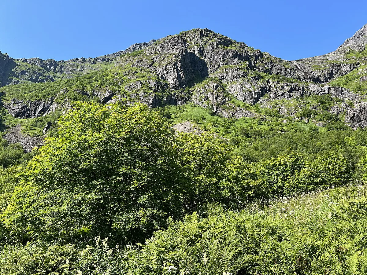
Most problems come from weather, wet rock and overconfidence on exposed ground. Ropes and chains help, but they do not replace proper boots.
- Staying near the cliff edge on the steep Ryten path.
- Climbing Helvetestinden or Tindstinden when the rock is wet.
- Starting a summit hike in cloud and losing the view.
- Counting on huts such as Munkebu for services; they are unstaffed.
- Wild camping or flying a drone without checking the park's protection rules with Miljødirektoratet.

Costs, huts and where to stay nearby
Boat fares, hut fees and lodging prices change by season, so we list no figures here. Check the boat operator for Vindstad crossings and DNT or UT.no for hut details. Choose Reine or Å if you want short walks to trailheads. Photographers favour Hamnøy for its views. Travellers without a car should book lodging in Reine or Å before they plan hikes.
With 2 days in Lofoten, base yourself in Reine or Å, where trailheads stay close, and keep a spare day for summit weather.
Combine with other Norway parks
Lofotodden is a coastal park at the edge of the Arctic, so it feels nothing like inland parks. Hardangervidda is a broad mountain plateau. Jotunheimen offers high alpine peaks. For ice and valleys, look at Jostedalsbreen. Each needs a separate trip, so treat Lofotodden as its own Lofoten journey.
Frequently Asked Questions
Is hiking in Lofoten difficult?
It depends on the route. Ryten is steep with a cliff edge near the path, while Helvetestinden has an exposed ridge with some scrambling. Wet rock and cloud raise the difficulty on every peak.
Is 2 days in Lofoten enough?
Two days gives you time for one or two hikes around Reine and Å. Bad weather can cost you a summit day. Add a spare day if the peaks matter to you.
Notes for your next park visit
Optional updates to our national park guides.
Read next

Keep planning
Picked from the same area