
Jotunheimen Map: Best Hiking and Topographic Maps (Guide)
Jotunheimen map guide: see where the park sits, compare paper, topographic and digital maps, and pick the right scale for day hikes or hut treks.
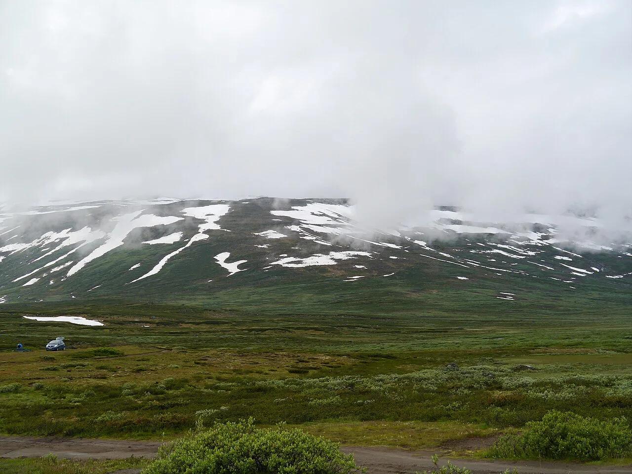
Last updated November 2026. The right Jotunheimen map depends on your trip: an overview map for orienting, a detailed hiking sheet for day walks, and a paper-plus-offline-app pair for hut-to-hut treks. This guide shows what each map type does, where the gateways sit, and how to pick before you leave home. For the park itself, start with our Jotunheimen National Park guide.
Featured image: Zairon, CC BY-SA 3.0, via Wikimedia Commons.
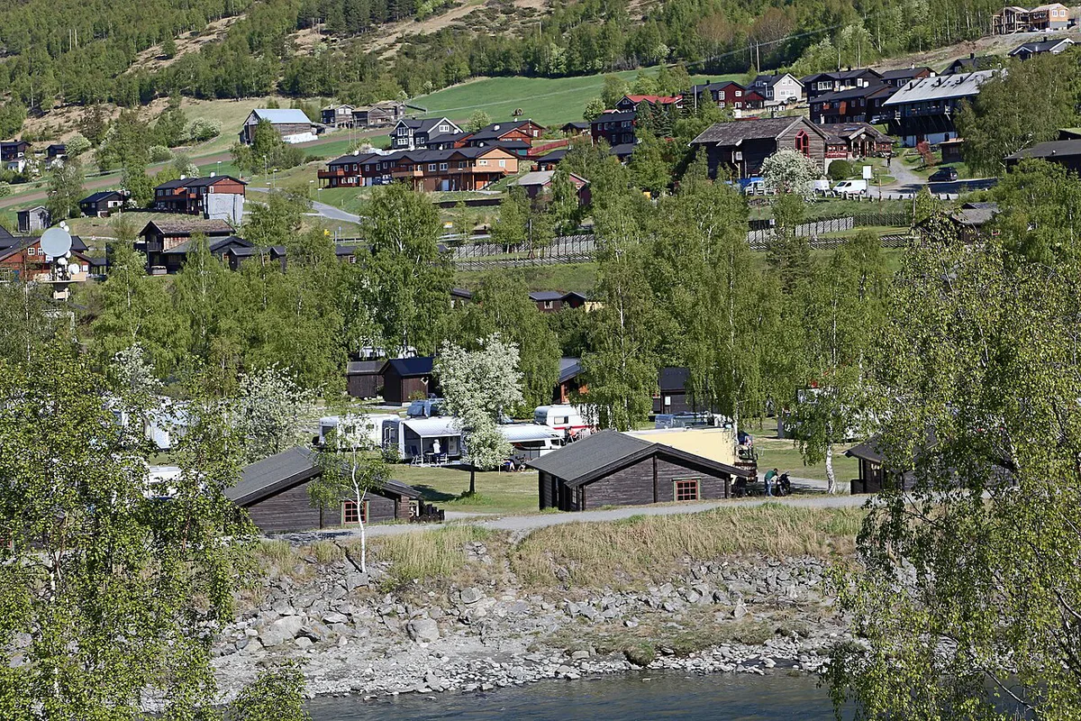
Jotunheimen at a glance: where the park is
Jotunheimen is a high mountain park in southern Norway. Map sources place it across Innlandet and Vestland counties. Older maps and pins still show the former Oppland and Sogn og Fjordane names. Do not read that as an error. It is a naming change.
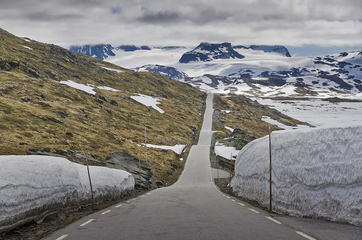
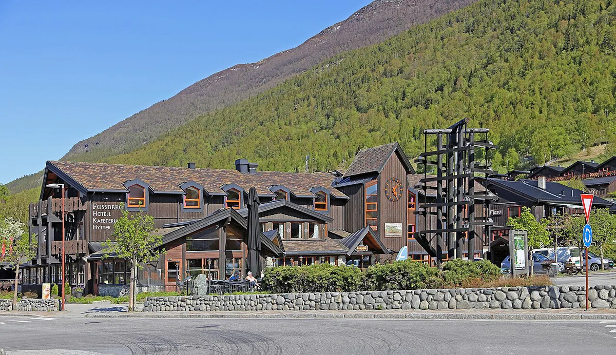
Five gateways anchor most trip planning: Lom, Gjendesheim, Spiterstulen, Turtagrø and Fossbergom. Two roads frame the area on a map: Route 55 over Sognefjellet and Route 51. Spiterstulen, Turtagrø and Gjendesheim are the usual starting points for valley and ridge routes. Official park information is on the Nasjonalparkriket park pages.
Terrain models differ from official summit heights. One topographic viewer lists a maximum elevation of 2,443 m for the park box, while other sources quote about 2,469 m for Galdhøpiggen. Use the official figure from Kartverket when you cite a height.
Which Jotunheimen map do you need?
Pick by scale and by whether the map works without signal. The table below compares the main types. A travel map sold as 1:100 000 suits orientation, while the Turkart series spans 1:25 000 to 1:100 000 depending on the area.
| Map type | Best for | Scale or detail | Works offline? | Limitation |
|---|---|---|---|---|
| Overview or travel map | Planning the drive and choosing a base | 1:100 000 class | Yes, on paper | Too coarse for route-finding |
| Hiking map | Day hikes and ridge days | 1:50 000 is the usual hiking detail | Yes, on paper | Check the edition date |
| Digital topo viewer | Studying terrain at home | Varies by viewer | No, unless saved | Elevation figures can differ from official heights |
| GPS or phone app | Live position on the trail | Depends on downloaded tiles | Only if tiles are saved | Battery drains in the cold |
| Hut or trail-organization sheets | Hut-to-hut route planning | Route level | Yes, if printed | Not a substitute for a full map |
Match the map to your trip
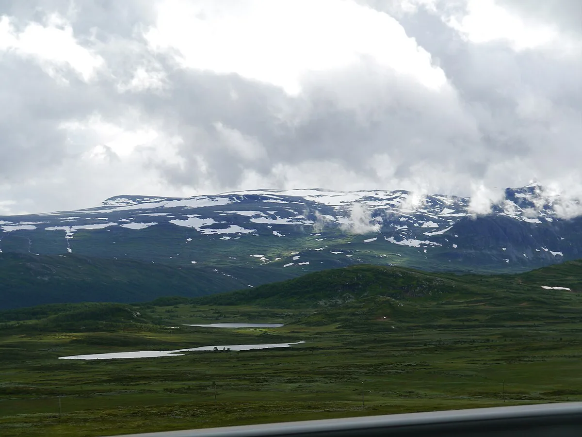
Short walks near a gateway need only a hiking sheet and a phone backup. Ridge days need more care. For Gjende and the Besseggen ridge area, carry a detailed hiking map and know your turn-back point.
Multi-day hut treks need continuous coverage of your whole route. Buy every sheet before you start, because gateway shops may not stock all of them. Winter and ski touring add avalanche terrain, so a map alone is not enough. Check Varsom.no avalanche warnings before you go.
Glacier arms of the wider region, such as Nigardsbreen, belong to the neighboring Jostedalsbreen area. They are not on a standard Jotunheimen sheet, so check coverage first.
| Trip | Minimum map | Backup |
|---|---|---|
| Short day hike | Hiking map or offline app | Photo of the trail map |
| Gjende and ridge day | Detailed hiking sheet | Second phone or power bank |
| Hut-to-hut trek | Paper sheets for the full route | Offline tiles on a charged phone |
| Winter or ski touring | Detailed map plus avalanche warnings | Compass and a paper copy |
How to read a Norwegian hiking map
Marked trails on Norwegian maps follow DNT-style conventions, and on the ground the route is shown by T-marked cairns. Learn the contour interval before you leave, because it tells you how steep a climb really is. Closely packed lines mean a steep slope.
Look for rivers and bridges next. A river without a bridge can be a hard stop after rain or snowmelt. Snowfields on the map may block the marked route into early summer. Hut symbols separate staffed, self-service and unstaffed huts, so read the legend before you rely on a bed or a meal. UT.no lists trails and huts to cross-check against your sheet.
Paper vs. phone: offline and safety trade-offs
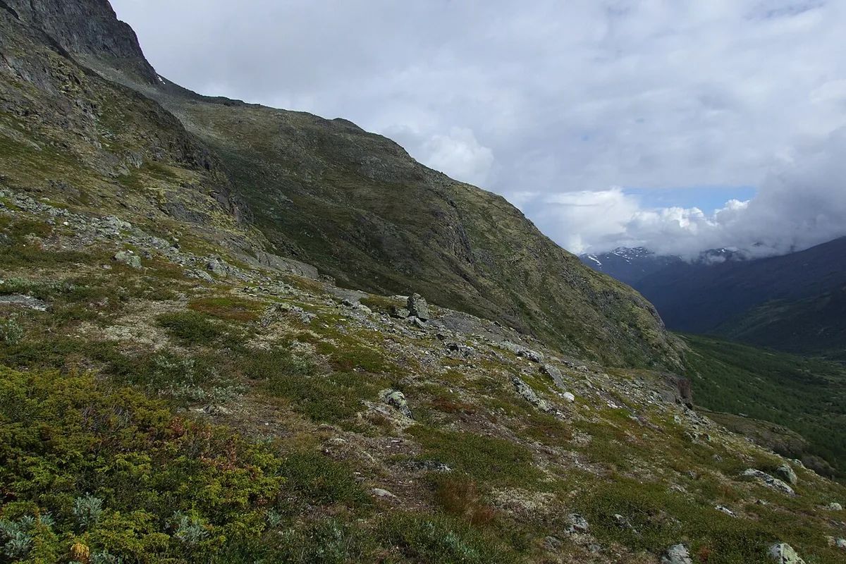
Phone signal is patchy in high valleys, so plan for none. Cold drains batteries faster. Download offline tiles at home, then carry a paper map as the main backup. The official Norgeskart viewer from Kartverket is a good place to study terrain before you travel.
- Mistake to avoid: relying on one phone as your only map.
- Mistake to avoid: using an overview map for route-finding.
- Mistake to avoid: ignoring the date and edition printed on a paper map.
Where to get maps, and what it costs
Digital viewers such as Norgeskart and UT.no are free to browse. Paper maps cost more, and prices vary by shop and edition. Outdoor shops, tourist information offices and hut shops in gateway villages are the usual sources. Buying before departure saves an extra stop in Lom or at a trailhead. Buying on arrival lets you ask staff about current trail conditions. Check one retailer's stock before you travel, since one listed Jotunheimen 1:100 000 travel map was marked unavailable.
Jotunheimen 1:100 000 travel map is too coarse for route-finding, so pair it with a 1:50 000 hiking sheet for any walk.
Plan around season and weather
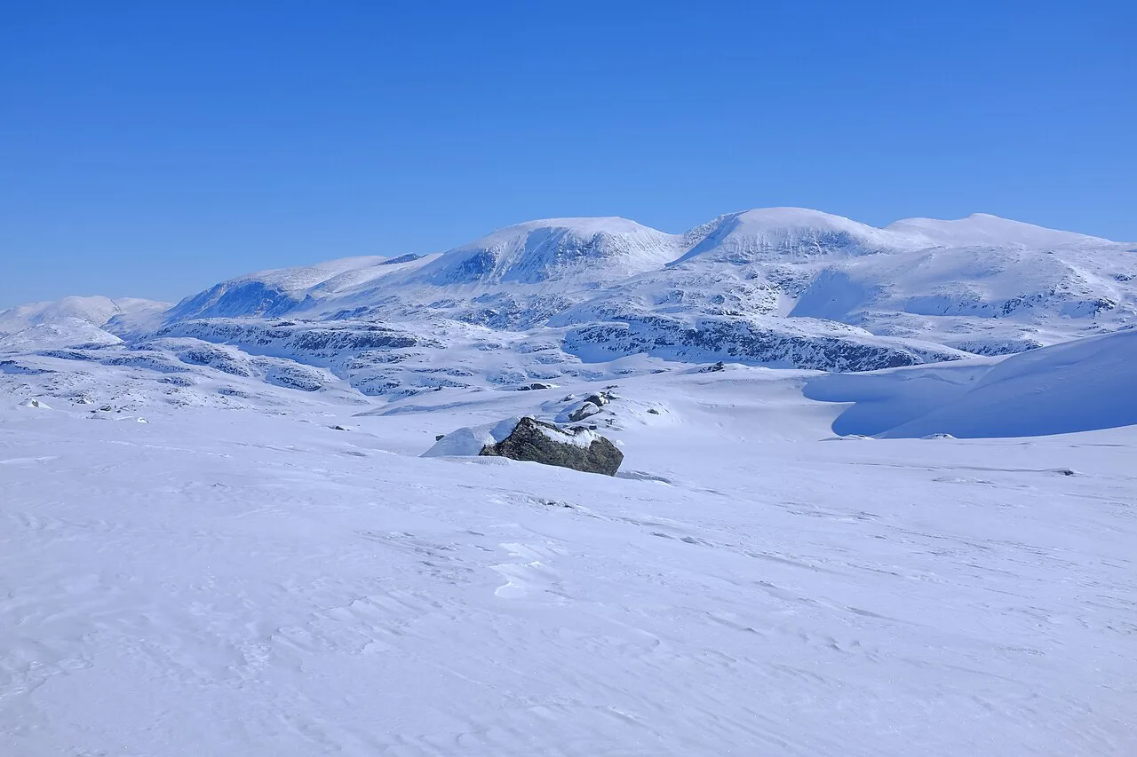
Snow can hide trails into early summer, and conditions change fast above the treeline. Read our Jotunheimen weather guide before choosing dates. Treat any mapped route as a plan, not a promise, until you see the ground.
Nearby parks on the map
Zoom out and Jotunheimen sits among several Norwegian parks. Our overview of Norway's national parks shows how they fit together. Reinheimen and Rondane are separate mountain areas with their own maps. Jostedalsbreen covers the glacier region, and Hardangervidda is a high plateau park.
Notes for your next park visit
Optional updates to our national park guides.
Read next

Keep planning
Picked from the same area