
Cabañeros National Park: Routes, Access & Planning Guide
Plan a visit to Cabañeros National Park in Spain: best trails by time and difficulty, how to get there, when to go, and what to book ahead.
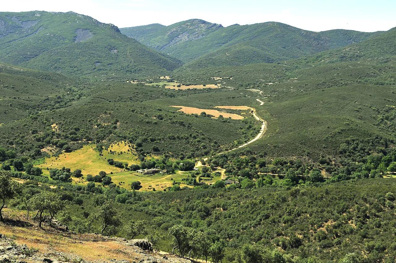
Last updated November 2026: Cabaneros National Park (Parque Nacional de Cabañeros) covers over 40,000 hectares of the Montes de Toledo, between Ciudad Real and Toledo provinces in Castilla-La Mancha. It suits walkers and wildlife watchers with a car, because trails start at separate road points rather than one main gate. Use this guide to pick a route by time and ability, then build a half-day, full-day or two-day plan.
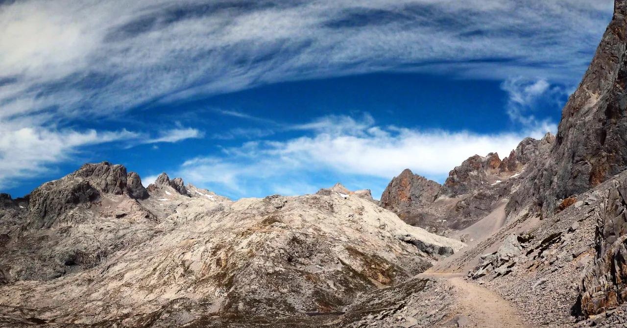
Featured image: LBM1948, CC BY-SA 4.0, via Wikimedia Commons.
Is Cabañeros worth visiting?
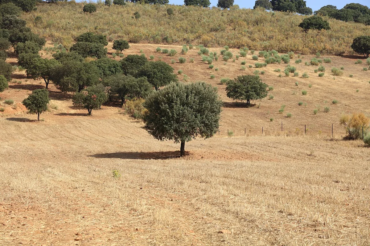
Cabañeros is worth the drive if you want open Mediterranean grassland, oak woodland and a fair chance of seeing raptors. Wide plains called the Raña give way to the Rocigalgo massif, which MITECO puts at 1,449 m (about 4,750 ft). That contrast is the reason to come. Skip it if you have only a few hours and no car, since trailheads are spread along different roads. A short visit works best from one start point. Plaza de los Moros takes 1 h 30 min as a loop, and each Casa Palillos path takes 30 min. Serious hikers get a 6–7 h day on the Rocigalgo massif. Families and walkers with limited mobility have short, low-difficulty options near the visitor centres.
Cabañeros quick facts
Park history explains the landscape. In June 1982, citizen and environmentalist opposition stopped a planned military firing range here. The area became a Natural Park in 1988. It was declared a National Park on 20 November 1995, according to MITECO's park overview.
- Size: over 40,000 hectares (roughly 99,000 acres).
- Location: Montes de Toledo, between Ciudad Real and Toledo provinces, Castilla-La Mancha.
- Designation: Natural Park in 1988, National Park on 20 November 1995.
- High point: the Rocigalgo massif, 1,449 m according to MITECO.
- Habitats: open Raña plains, wooded grassland, Mediterranean forest and scrub, and river corridors.
- Vegetation: holm oak, cork oak, quejigo and melojo oak, with rockrose, heather and strawberry-tree scrub.
- Climate: continental Mediterranean, with cold winters, very hot dry summers and rain mostly in spring and autumn.
How to get there and where to start
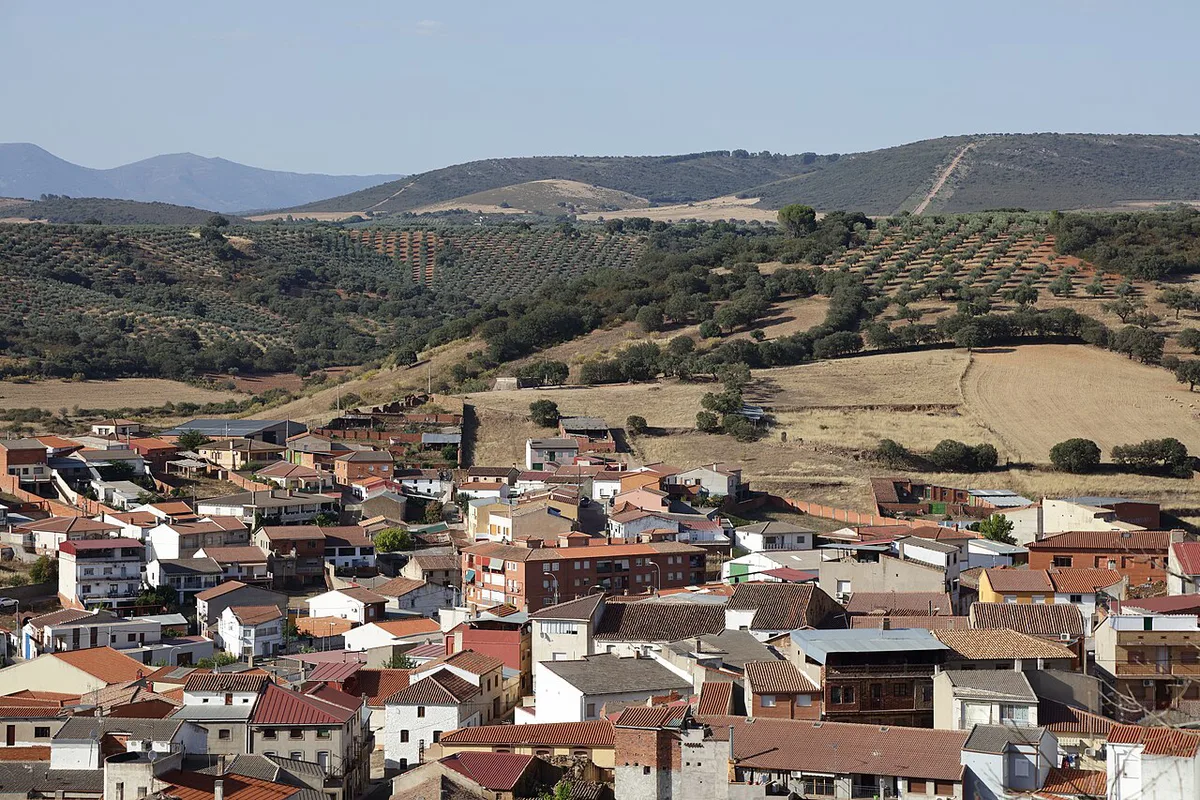
Most visitors need a car. Nothing in the official material describes a bus or train link to the trailheads, so treat public transport as unconfirmed. Toledo is the usual base for a day trip. There is no single mapped park entrance, and routes begin at several points. The park office is on Ctra. Abenójar-Torrijos s/n in Pueblonuevo del Bullaque, in Ciudad Real province. Horcajo de los Montes and Retuerta del Bullaque are the other access villages named for trails. Plan driving time between starts, because each route sits on a different road.
- Torre de Abraham visitor centre: CM-403, about 10 km from Pueblonuevo del Bullaque.
- Casa Palillos visitor centre: the main centre, with two short paths beside it.
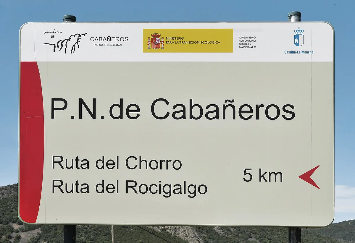
- Rocigalgo, Chorro and Encina routes: an information hut on the track that leaves km 16 of the CM-4155.
- Viñuela and Cañada Real Segoviana: km 80–81 of the CM-4017, between Horcajo de los Montes and Retuerta del Bullaque.
- Sierra de Castellar de los Bueyes: a car park on the edge of Horcajo de los Montes.
- Plaza de los Moros: its own car park, with a longer option from the village.
Best Cabaneros National Park trails compared
Distances and times below come from MITECO's route list, where one km is about 0.6 miles. Several routes give two versions, one from a car park and one from the village. The village start adds distance and time, so match it to your energy. Boquerón del Estena is 6 km from its car park but 10 km from the village. Times are round trip unless marked one way.
| Route | Time | Length | Climb | Difficulty |
|---|---|---|---|---|
| Senda botánica (Casa Palillos) | 30 min loop | 0.6 km | None | Low |
| Senda etnográfica (Casa Palillos) | 30 min loop | 0.8 km | None | Low |
| Plaza de los Moros | 1 h 30 (3 h 30 from village) | 3.5 km loop | 150 m | Medium |
| Boquerón del Estena | 2 h 15 from car park (3 h 30 from village) | 6 km (10 km from village) | 20 m | Medium |
| Chorro | 1 h 30 one way | 4.2 km one way | 200 m | Medium |
| Chorrera Chica | 2 h 15 one way | 6.1 km one way | 300 m | Medium |
| Rocigalgo peak | 3 h 45 one way | 9.6 km one way | 700 m | High |
| Macizo del Rocigalgo | 6–7 h | 19 km loop | 950 m | High |
| Viñuela | 3–3.5 h | 13 km semicircular | 150 m | Moderate |
| Cañada Real Segoviana | 1 h 15 | 4.6 km linear | 150 m | Moderate |
| Colada de Navalrincón | 3 h one way | 9.5 km one way | 50 m | Low |
| Sierra de Castellar de los Bueyes | 2 h 15 (4 h 30 loop from village) | 5 km | 85 m | Low |
Easy and accessible walks
Two short paths start at the Casa Palillos visitor centre. The botanical path is 0.6 km and the ethnographic path is 0.8 km. Both are 30-minute loops with no climb, and MITECO lists both as accessible for reduced mobility. The Torre de Abraham plant-uses path is also listed as low difficulty and accessible. Its start is on the CM-403, about 10 km from Pueblonuevo del Bullaque. MITECO gives it as 45 minutes and 7 km, which do not fit together. Read the live route page before you plan around either figure. Wheelchair users and families with small children can combine two Casa Palillos loops in about an hour.
- Senda botánica: 0.6 km, 30 min, flat.
- Senda etnográfica: 0.8 km, 30 min, flat.
- Senda de la Torre de Abraham: low difficulty, accessible, start at the visitor centre.
Half-day highlights
Plaza de los Moros is the best short hike for most people. It is a 3.5 km loop with 150 m of climb. Allow 1 h 30 min from its car park. The village start stretches it to 3 h 30 min. Some sections are stony, so wear sturdy footwear. Boquerón del Estena is the classic half-day walk. It runs 6 km round trip from the route car park, which lies past the "Cabañeros Lincetur" campsite. Climb is only 20 m, and it takes 2 h 15 min. The route is free or guided. MITECO notes that the park may apply capacity control on high-demand dates. Check the booking page before you drive out.
Full-day and hard hikes
The Chorro, Chorrera Chica and Rocigalgo routes share one start at the information hut off km 16 of the CM-4155. Chorro is 4.2 km one way with 200 m of climb. Chorrera Chica is 6.1 km one way and 300 m. Both are medium difficulty, and both can be guided. The Rocigalgo peak is 9.6 km one way with 700 m of climb, and MITECO rates it high. The full Macizo del Rocigalgo loop is 19 km and 950 m (about 3,100 ft). It takes 6–7 h and has no easy bailout. Start early and carry plenty of water. Viñuela is a 13 km semicircular route of 3–3.5 h with 150 m of climb. Stony stretches call for good footwear. The shorter Cañada Real Segoviana is 4.6 km and 1 h 15 min, from the same km 80–81 start on the CM-4017.
Wildlife and what you will actually see
MITECO lists red deer, wild boar, Iberian lynx, Spanish imperial eagle, black stork and one of the largest breeding colonies of black vulture. The endemic jarabugo fish lives in the streams. Deer, boar and vultures are the realistic sightings. Lynx are rare, so do not plan the day around one. Dawn and dusk give the best odds, when animals are most active. For wider coverage, guided 4x4 routes make a short walk and several observation stops. MITECO says there are usually three shifts a day, and the first and last suit wildlife best. For a lynx and wetland-bird contrast, see Doñana in Andalusia.
Best time to visit
The climate is continental Mediterranean. Winters are cold and summers are very hot and dry. Rain falls mostly in spring and autumn. MITECO describes a landscape that is green after winter rain and scorched under summer sun. Spring and autumn are the easiest seasons for long hikes. In summer, start at first light on exposed trails and carry extra water. The Valhondo route carries an official warning against its steep section in hot hours. Winter brings mud. The 9.5 km Colada de Navalrincón has stretches that often turn to puddles, even though it is rated low difficulty.
In summer, a 6–7 h day with no easy bailout on the Rocigalgo loop pairs badly with heat, so start at first light.
Tours, guides and booking
Several routes are free to walk, while others are free or guided. Boquerón del Estena, Chorro and Chorrera Chica are free or guided. The Rocigalgo massif and the Encina route are free access. MITECO says the park may apply maximum capacity control on high-demand dates for the Boquerón, Chorro and Rocigalgo routes. Do not assume walk-in access on busy weekends. Booking and the visitor guide sit on the official Cabañeros page. Routes 12 to 14 start at the Gargantilla estate gate and use a free park interpreter guide. A dirt track of about 3 km leaves km 37 of the CM-4157. Visitor centre hours and guided routes were recently updated, so read current hours before you go. For lodging and regional planning, see Castilla-La Mancha tourism.
Sample itineraries
Each plan uses only start points that the park lists. Add driving time between them, since no drive times are published here.
- Half day: Plaza de los Moros loop (1 h 30) or Boquerón del Estena from its car park (2 h 15).
- Full day: the Macizo del Rocigalgo loop (6–7 h, 19 km), starting early from the km 16 hut. Take food and water.
- Moderate full day: Chorrera Chica (2 h 15 one way) with the return walk, then a short stop at Casa Palillos.
- Weekend, day one: Casa Palillos paths (30 min each), then Boquerón del Estena (2 h 15).
- Weekend, day two: Viñuela (3–3.5 h) from km 80–81 of the CM-4017, with Cañada Real Segoviana (1 h 15) if energy remains.
Mistakes to avoid
A few planning errors cause most disappointment here.
- Arriving without checking route booking or capacity on busy dates.
- Starting the Rocigalgo climb late. It takes 6–7 h with 950 m of ascent.
- Wearing trainers on the stony Plaza de los Moros and Viñuela routes.
- Treating Boquerón's 6 km and 10 km figures as the same walk.
- Expecting one park entrance. Routes begin at separate points on the CM-403, CM-4155 and CM-4017.
Pair Cabañeros with other Spanish parks
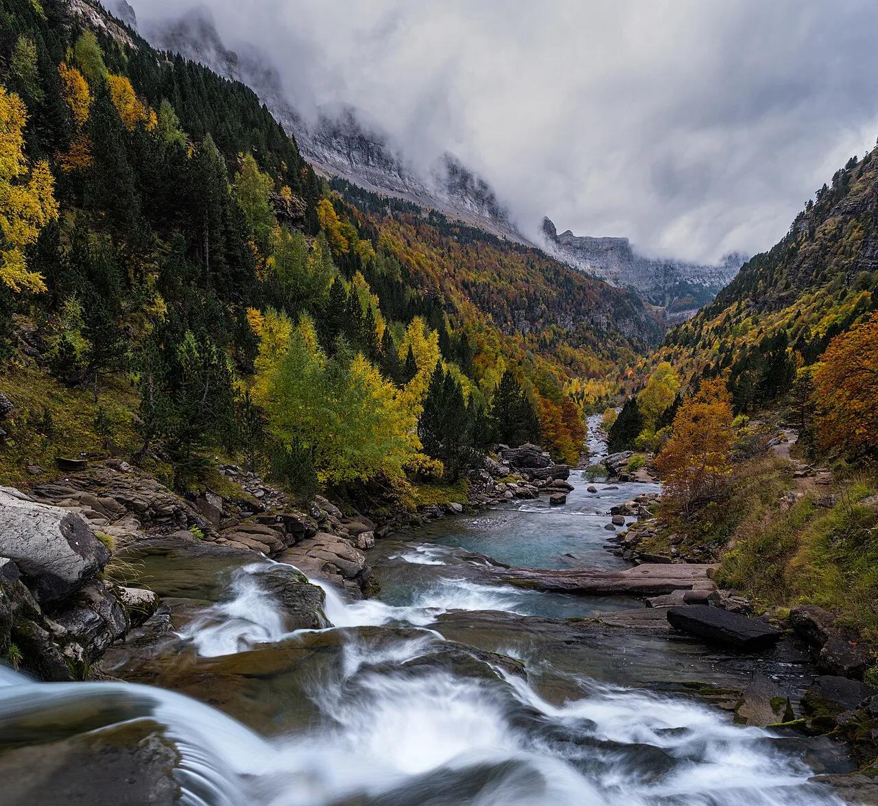
Castilla-La Mancha has a second park nearby in Tablas de Daimiel National Park: Visitor Guide. Check the driving distance before you combine them. For another Mediterranean woodland and raptor park, see Monfragüe in Extremadura. A mountain alternative reachable from Madrid is Sierra de Guadarrama. Compare all fifteen in our ranking of Spanish parks. The full overview is in 16 National Parks in Spain: Complete Guide and Planning Tips. For high-mountain scenery, try Ordesa or Sierra Nevada.
Notes for your next park visit
Optional updates to our national park guides.
Read next

Keep planning
Picked from the same area