
Ordesa National Park: Walks, Access & When to Go
Plan Ordesa y Monte Perdido: which walk to choose, how to reach the valley, the summer shuttle, when to go and where to base yourself.
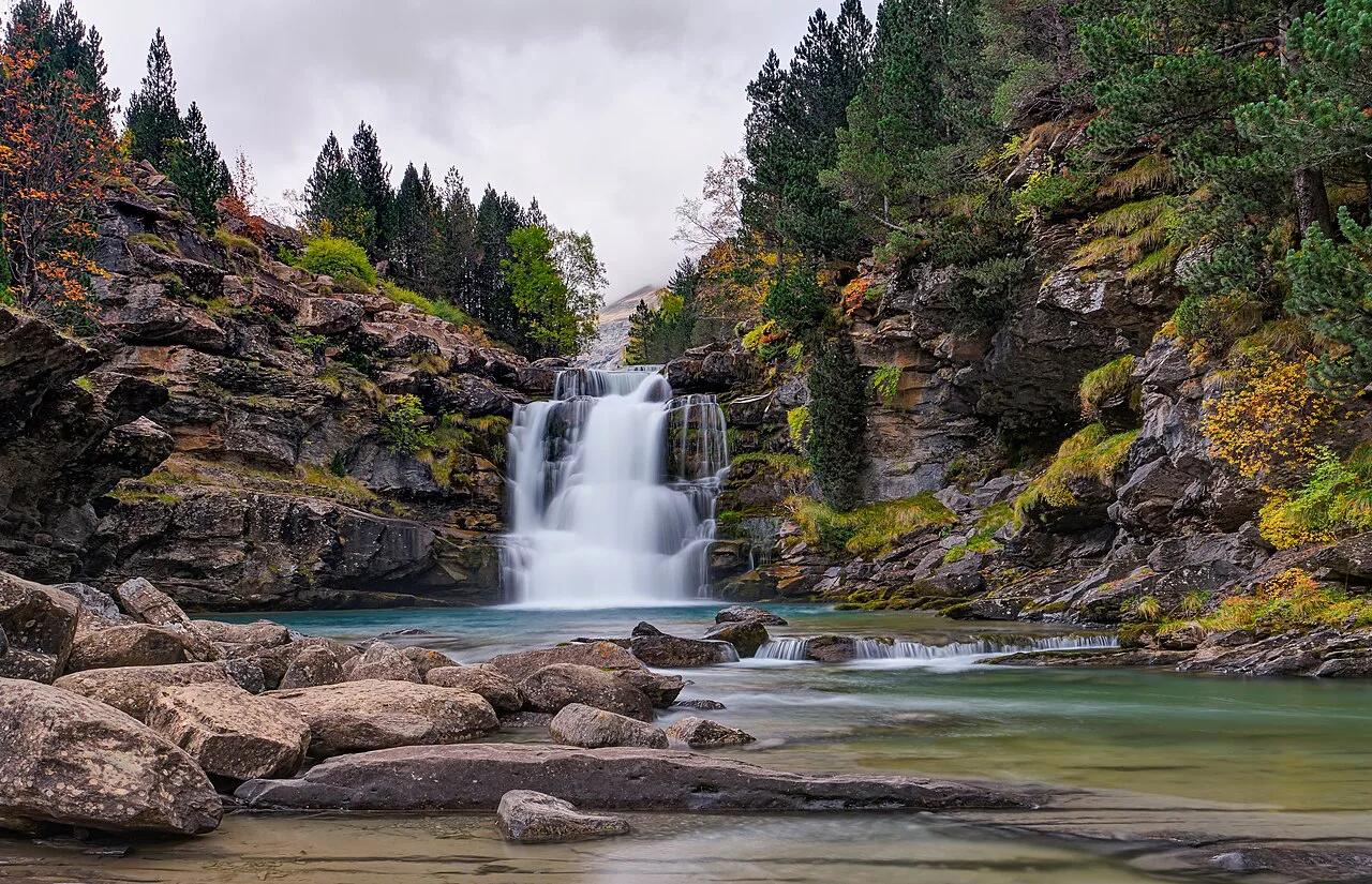
Last updated November 2026: Ordesa National Park (Parque Nacional de Ordesa y Monte Perdido) protects 15,696 hectares of limestone canyons and high peaks in Huesca, Aragón. Its headline outing is the Ordesa Valley walk to the Cola de Caballo waterfall. Private cars are barred from the valley road in summer, so you reach the trailhead by shuttle from Torla, as this guide to Spain's wider national park network explains.
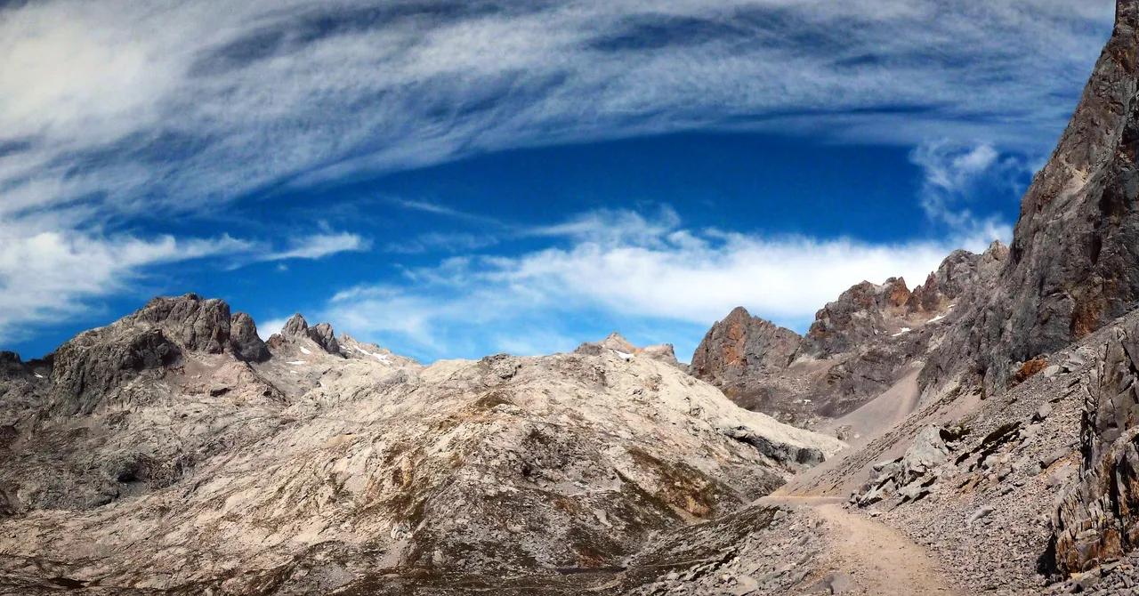
Featured image: Moahim, CC BY-SA 4.0, via Wikimedia Commons.
Ordesa National Park at a glance
Ordesa y Monte Perdido sits in the Pyrenees of Huesca, on the Spanish side of the French border. Monte Perdido rises to 3,355 m (about 11,007 ft) and anchors four valleys: Ordesa, Añisclo, Escuaín and Pineta. Torla is the gateway village for the Ordesa Valley, and the road to the Pradera de Ordesa trailhead starts there. Anyone comfortable on a full day of walking on well-marked paths will get the most from the park. Prices and hours in this guide were checked in November 2026, and the 2026 shuttle dates and fares below are the latest published.
- Status: national park since 1918, enlarged in 1982 to its current size.
- Protection: part of the Pyrénées – Mont Perdu UNESCO World Heritage Site, listed in 1997.
- Area: 15,696 hectares, according to the Spanish tourist board.
- Altitude: from about 750 m at the mouth of the Añisclo canyon to 3,355 m at Monte Perdido.
- Best base: Torla, with Broto, Fanlo, Bielsa, Tella-Sin and Puértolas as alternatives.
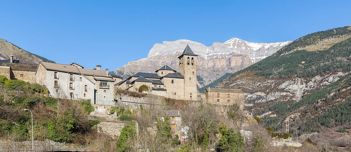
Which Ordesa walk should you choose?
Distances and times below are approximate for the full return walk or circuit, and they shift with the exact route. Five of the six routes start at the Pradera de Ordesa, which has a car park, bus stop, café and toilets. Monte Perdido starts at Refugio de Góriz and excludes the approach to the hut. A shorter route is not necessarily easier, because exposure and ascent matter as much as distance.
| Walk | Distance | Ascent | Time | Difficulty | What goes wrong |
|---|---|---|---|---|---|
| Cola de Caballo valley floor | 16–18 km (10–11 mi) | 450–550 m | 6–7 h | Moderate | Starting late and missing the last bus down |
| Faja Racón | 11 km (7 mi) | 580 m | 5–6 h | Moderate, some exposure | Underestimating the drops beside the path |
| Faja Racón plus Canarellos | 16 km (10 mi) | 750 m | 6–7 h | Strenuous, narrow and exposed sections | Tiredness on the exposed stretch |
| Faja de Pelay via Senda de los Cazadores | 22 km (14 mi) | 800 m | 8–9 h | Strenuous | Slow pace on the opening climb of about 1.5 hours |
| Faja de las Flores | 16 km (10 mi) | 1,150 m | 9–10 h | Challenging, sustained exposure | Panic on the narrow ledge and the chain-and-piton descent |
| Monte Perdido from Góriz | 8.9 km (5.5 mi) | 1,140 m | 6–7 h | Very challenging | Snow or ice on the Escupidera without crampons |
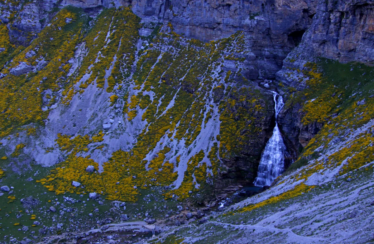
Which walk suits your day?
Pick by confidence with heights, not by kilometres. Use these three rules to decide, then check the table for timing.
- First visit or family day: walk the valley floor to Cola de Caballo. Its path winds through beech and silver fir woods past several waterfalls, and the trail ends beneath Monte Perdido in the Circo de Soaso.
- Good head for heights: choose Faja Racón. It runs directly under the northern cliffs, and chamois and bearded vultures are regularly seen there.
- Strong walker with a full day: take the Faja de Pelay loop. Expect a steep climb of around 1.5 hours to a viewpoint about 600 m above the valley floor before the path contours round to the Circo de Soaso.
The four valleys: Ordesa, Añisclo, Escuaín and Pineta
Ordesa is the best known, with cliffs rising more than 800 m on each side. Most day walkers spend their first day here. Añisclo is a river-carved canyon more than 1 km deep, and a walk of 13–16 km takes 4–6 hours with about 350 m of ascent. Pineta is a glacial valley, and the Balcón de Pineta route climbs about 1,200 m over 12 km in 6–7 hours to a view of the Monte Perdido massif. Escuaín holds the Garganta de Escuaín, where a feeding station for bearded vultures sits. Añisclo, Escuaín and Pineta do not use the Pradera shuttle, and small car parks near their trailheads fill by mid-morning on weekends and holidays. Arrive before 9 am. Official visitor points at Bielsa, Escalona and Escuaín can help you choose a route when you arrive.
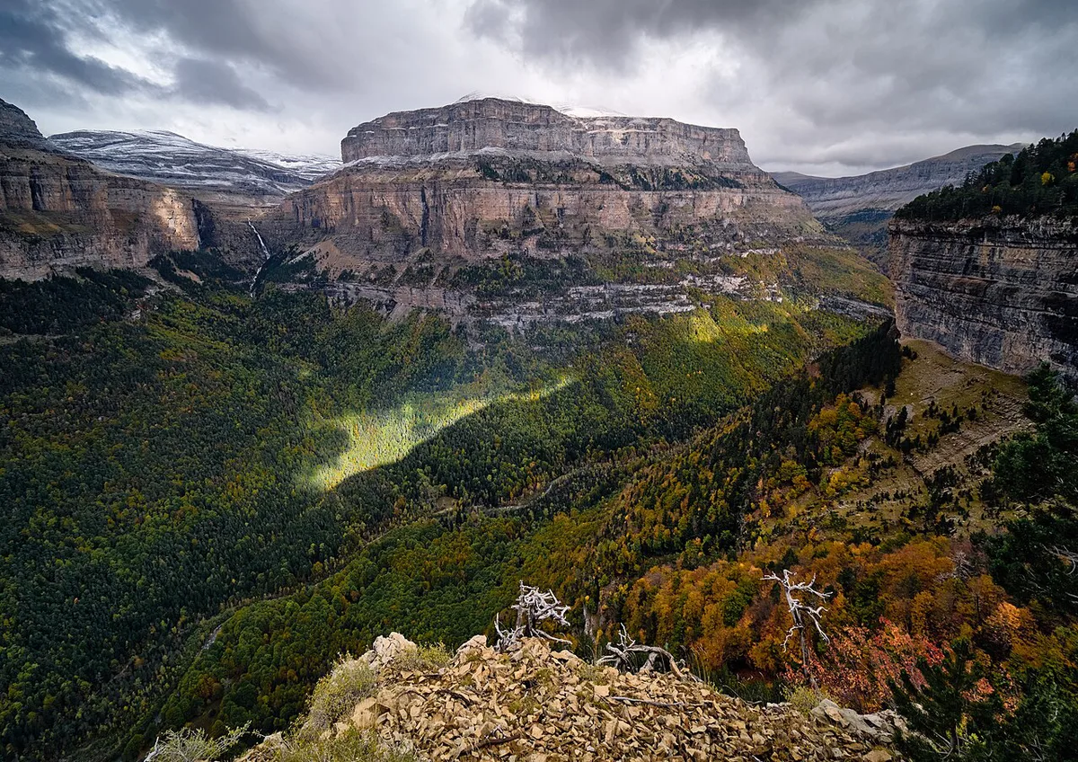
Getting to Ordesa and into the valley
Torla is the gateway to the Ordesa Valley, and the A-135 road runs from the village to the Pradera de Ordesa. Casa Oliván Visitor Centre stands on that road 200 m before the Pradera. Private cars are not allowed on it during Easter, from 1 to 3 May, from 19 June to 20 September, and on several autumn bridge dates in 2026. A shuttle bus runs from Torla to the Pradera instead. The ride takes roughly 12 minutes, and buses leave every 15–20 minutes. Dates and timetables change every year, so check the Torla-Ordesa tourism site for the 2027 schedule before you travel.
- 19 June to 20 September 2026: first bus 6 am, last bus into the valley 7 pm, last bus back to Torla 10 pm.
- 25 to 27 September 2026: first bus 6 am, last bus into the valley 6 pm, last bus back 9 pm.
- 2 to 18 and 23 to 25 October 2026: first bus 7 am, last bus into the valley 6 pm, last bus back 9 pm.
- Standard fare 2026: €6 return or €4 single.
- Over 65: €5 return or €3.50 single. Under 10: free.
- Dogs: €2 return or €1 single.
If you miss the last bus
Missing the last bus back to Torla leaves you walking the road down in the dark, so plan the return from the Pradera before you set off. In the off-season the road may reopen to private cars. Snow, ice and road conditions can close it at short notice, so do not assume you can drive up. Without a car, you can base yourself in Torla and catch the shuttle from the village.
Between 19 June and 20 September 2026, the last bus back to Torla 10 pm is your real limit for the 6–7 h Cola de Caballo walk.
When to go to Ordesa: season by season
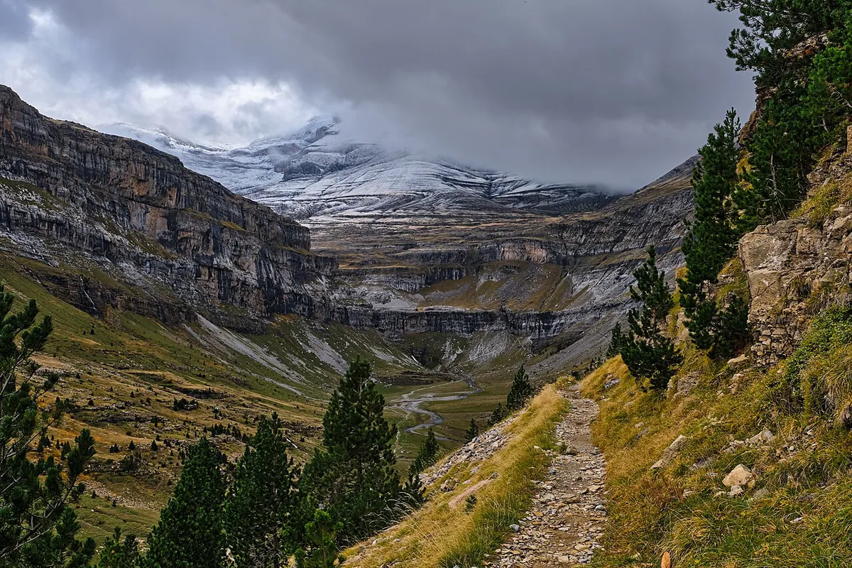
The main hiking season runs from late June to late September. Snow lingers above about 1,800–2,000 m through spring, so high routes stay closed to ordinary walkers until then. Summer storms build in the afternoon, and August is the busiest month in the Ordesa Valley. Autumn gives the steadiest weather and beech forests that turn gold and orange by early to mid-October. Check AEMET, Spain's official forecast service, before you choose a route. Valley, mid-mountain and high-pass conditions can differ sharply on the same day.
| Season | What you get | Decision rule |
|---|---|---|
| Spring (April–June) | Strong waterfalls, snow above 1,800–2,000 m | Stay on valley paths unless you carry mountaineering gear |
| Summer (July–August) | Fully open trails, afternoon storms, crowds | Start early and be off the high ledges by midday |
| Autumn (September–mid October) | Stable weather, forest colour, fewer visitors | Best window for the Faja routes |
| Winter (mid October–May) | Snow and ice above the valleys | Mountaineering skills only above the valley floor |
Bad-weather fallback
If storms threaten, drop to the valley floor path or spend the day in Torla, which has cafés and restaurants for waiting out rain. Refugio de Góriz posts snow conditions on its Facebook page, which helps before any Monte Perdido attempt.
How many days do you need in Ordesa?
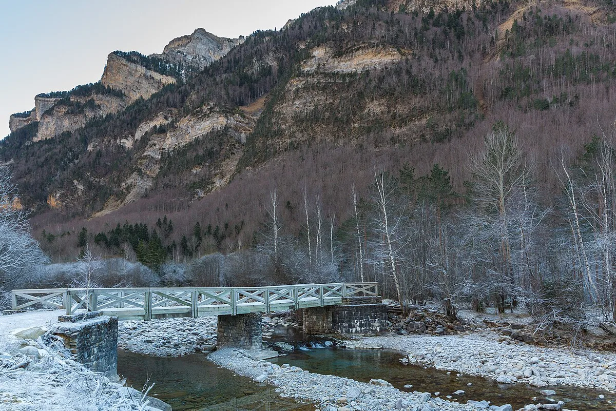
A single day covers the Cola de Caballo walk at 16–18 km. Two to four nights give you time for the Ordesa Valley plus one other valley, such as Añisclo. Climbing Monte Perdido needs five to seven days once you add a night at Refugio de Góriz and a spare weather day. A two-night stay lets you try one faja in good conditions and keep the second day for the valley floor. A longer stay lets you shift days around a storm.
Where to stay: Torla and the other bases
Torla offers more than 1,000 beds across hotels, inns, apartments and lodges, plus supermarkets and gear shops. It is also where the park shuttle starts. Broto lies 10 km from Torla and is quieter. Bielsa is the gateway to Pineta, so it suits a stay built around that valley. Fanlo, Tella-Sin and Puértolas are also named as bases near the park. Book early for July and August.
| Base | Best for | Trade-off |
|---|---|---|
| Torla | Ordesa Valley and the shuttle | Busiest in summer |
| Broto | Quieter nights, 10 km from Torla | Extra travel to the shuttle |
| Bielsa | Pineta valley and Balcón de Pineta | Further from the Ordesa Valley |
| Fanlo, Tella-Sin, Puértolas | Eastern valleys such as Escuaín | Smaller villages, fewer services |
Costs, permits and park rules
Your main fixed cost is the shuttle, at €6 return in 2026. The official park pages are the place to check whether any entry fee applies, so look there before you plan a budget. Camping is not permitted inside the Ordesa, Añisclo and Escuaín valleys. Bivouacking is allowed above 2,100 m for one night, from sunset to sunrise. Refugio de Góriz, at 2,200 m, is the park's only hut and takes reservations through the Federación Aragonesa de Montañismo, usually weeks ahead in summer. The national parks authority page for Ordesa lists current rules.
Safety, conditions and what to carry
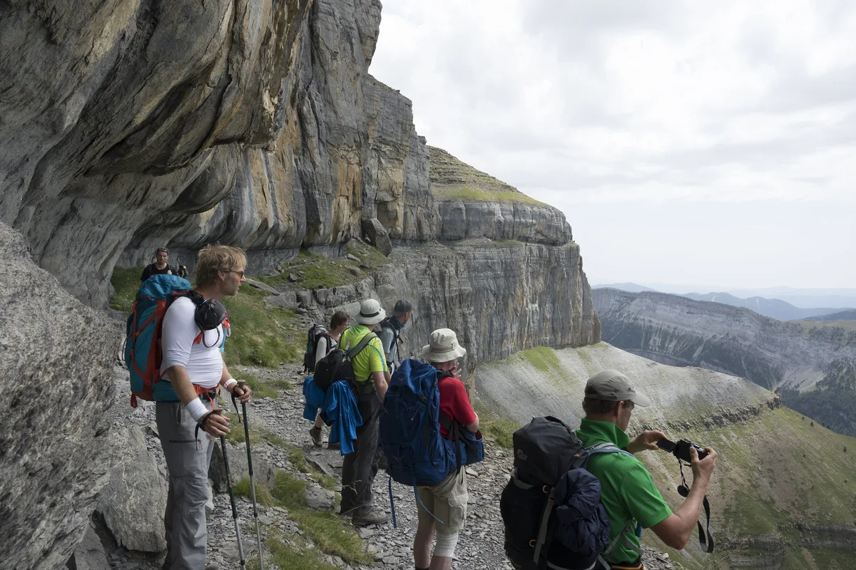
Exposure is the main hazard on the fajas. The Faja de las Flores runs along a ledge about 1 m wide with a drop of roughly 400 m, and its traditional descent uses chains and pitons. Snow or ice on the Escupidera, the final section to Monte Perdido's summit, calls for crampons and an ice axe. Monte Perdido is a mountaineering objective, not a walk. In an emergency in Spain, call 112.
- Sturdy boots and warm and waterproof layers, as the weather changes fast.
- Food and water for the whole day, since the long routes run 8–10 hours.
- Binoculars for vultures and chamois.
- A map and a charged phone, with a forecast checked that morning.
Mistakes to avoid
Do not drive to the Pradera during the restricted dates. Do not start a long faja late in the day. Do not treat the Faja de las Flores as a routine day walk, and do not assume Monte Perdido needs only fitness.
Wildlife and landscape worth knowing
Limestone karst, glacial cirques and river-cut canyons define the landscape. Griffon vultures roost on the cliffs of the Añisclo canyon. Bearded vultures drop bones from height to crack them open. Chamois graze the upper slopes in summer, and golden eagles, marmots and the Pyrenean desman also live here. The Pyrenean ibex went extinct in January 2000.
Ordesa vs other Spanish national parks
Ordesa is the right pick if you want deep canyons and a day of walking from a village. For Pyrenean lakes, look at Aigüestortes's lake-filled valleys, which sit in the same mountain range. Sierra Nevada's high peaks suit walkers who want altitude in the south. For a broader comparison, see this ranked list of Spain's parks. Spain.info and the park's authority page cover Ordesa's official details.
Frequently Asked Questions
Is visiting Ordesa, Spain worth it?
Yes, if you want canyon walking with waterfalls and a road-accessible trailhead. A single day on the valley floor to Cola de Caballo covers the headline sight. Add a second day for Añisclo or a faja if you have the time.
Which National Park in Spain is considered the best?
It depends on what you want to do. Ordesa suits canyon walks, while other parks suit lakes or high peaks. Our comparison of Spanish parks helps you choose.
Notes for your next park visit
Optional updates to our national park guides.
Read next

Keep planning
Picked from the same area