
Sierra de Guadarrama National Park: Visitor Guide from Madrid
Plan a trip to Sierra de Guadarrama National Park: how to get there from Madrid, best areas to hike, when to go, rules and practical tips.
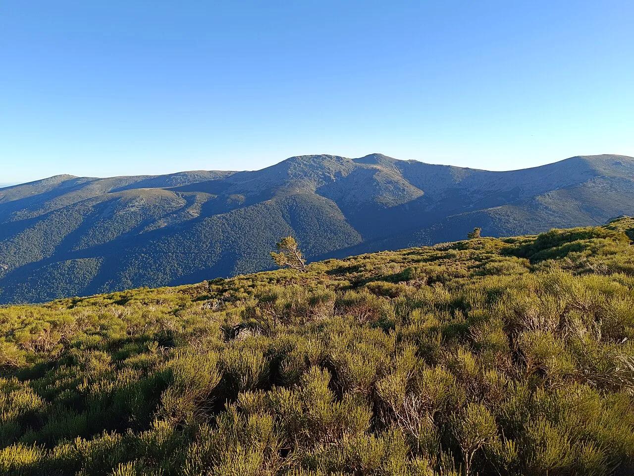
Last updated November 2026. Sierra de Guadarrama National Park is the closest national park to Madrid, and it spans the provinces of Madrid and Segovia. It suits day hikes best, so your choice of access route and area matters more than anything else. This guide covers how to reach it by train, bus or car, which area fits which traveller, and when to go. For the wider picture, see our guide to Spain's national parks.
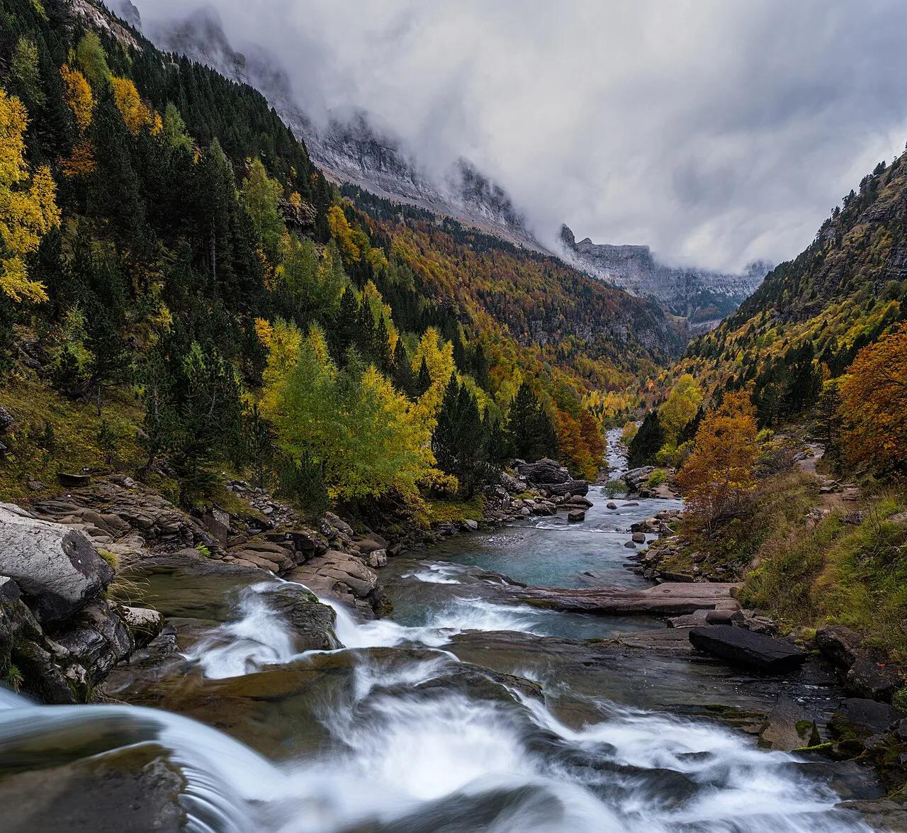
Featured image: CARLOS TEIXIDOR CADENAS, CC BY 4.0, via Wikimedia Commons.
Sierra de Guadarrama National Park at a Glance
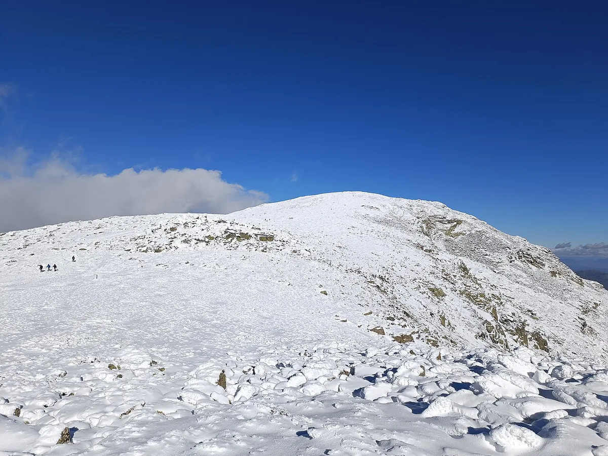
Spain's national park network lists the Sierra de Guadarrama as part of the Sistema Central. That mountain chain is about 500 km long and crosses the centre of the Iberian Peninsula from east to west. According to the national parks authority, the sierra is cooler and wetter than the surrounding plateaus and has been less altered by people. Its landscape features glacial cirques and lagoons, granite outcrops, high-mountain ecosystems and wide Scots pine forests. The park is called Parque Nacional (national park) in Spanish, and its visitor centres are centros de visitantes. The authority has also published an initial proposal to enlarge the park. Treat the boundary as subject to change and check the official page for its status.
- Location: Madrid and Segovia provinces, north of the capital
- Best for: day hikes, geology, snowshoeing, rock climbing
- Main trade-off: easy reach from Madrid, but weekend crowds and access limits
- Official sources: the national parks page and the Madrid regional park site
Best Things to Do in the Park
Choose your area first. Each part of the sierra offers a different kind of day, and the table below sorts them by traveller type. Confirm trail and access details on the regional park website before you commit to a route.
| Area | Best for | Effort | Access | Season |
|---|---|---|---|---|
| La Pedriza (Manzanares side) | Granite scenery, geology, climbing | Easy to demanding | Car, or bus to nearby villages | Hot in summer; busy at weekends |
| Valle de la Barranca (Navacerrada area) | Forest walks, first-time hikers | Low | Cercanías to Cercedilla or Navacerrada | Year-round |
| Peñalara and its lagoons | Glacial lagoons, high-mountain views | Moderate to demanding | Bus toward the Lozoya valley, then walking | Snow likely in winter |
| Segovia-side villages | Quieter walks plus village stops | Low to moderate | Car is easiest | Spring to autumn |
La Pedriza and the Manzanares Side
La Pedriza is the granite landscape most visitors picture when they think of the park. Climbers know El Yelmo, a granite formation here. Guided half-day geology walks are sold from €28 per person on marketplace listings, mainly June to September. Expect heat in July and August and plenty of people on summer weekends. Check access rules for vehicles and parking with the park authority before you drive in.
Valle de la Barranca and Navacerrada
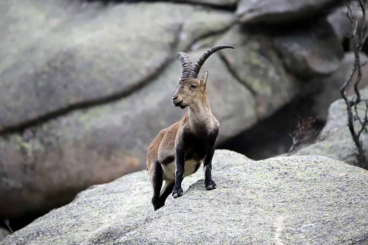
Valle de la Barranca is the easiest introduction for first-timers. Listings for guided half-day walks here start at €26 per person and run from June to September. A one-day guided hike from Fonda Real into the valley starts at €33 per person. Navacerrada also works as a base for snowshoeing, which marketplace listings put at €20 to €40 for 3.5 to 4 hours.
Peñalara and the Glacial Lagoons
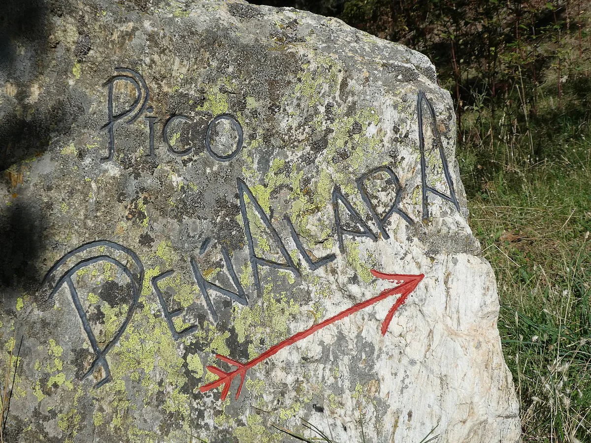
Peñalara is the place to see the glacial landforms the authority highlights. Lagunas de Peñalara are glacial lagoons set in a high-mountain cirque. Plan this as a full day with proper boots and a weather check. Conditions change faster at altitude than in Madrid, so look at AEMET's mountain forecast before you leave.
In the Park vs Nearby
Many activities sold as "Sierra de Guadarrama" happen outside the national park. Hiking, rock climbing and snowshoeing belong to the park or its edges. Segovia and La Granja de San Ildefonso are adjacent sights. Bungee jumping from the Buitrago bridge, hot-air balloon flights from Segovia and indoor skydiving in Las Rozas are regional options, not park experiences.
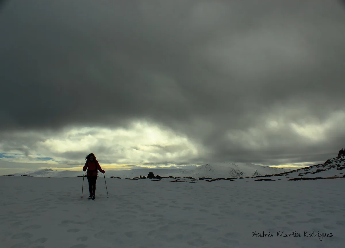
- In the park or its edges: hiking, climbing, snowshoeing, horse riding listings
- Nearby: Segovia old town, La Granja de San Ildefonso, Buitrago
- Regional, not park: balloon flights from Segovia, indoor skydiving in Las Rozas
How to Get There from Madrid
You can reach the park without a car. Cercanías (Madrid's commuter rail) runs to Cercedilla and Navacerrada, which put you near Valle de la Barranca and the pine forests. Buses leave from Moncloa station toward the northern valleys, including Rascafría on the Peñalara side. Check the Renfe and Madrid regional transport sites for current timetables, since schedules change. A car gives you flexibility for La Pedriza and the Segovia side. It also means parking limits on busy weekends.
| Option | Best for | Trade-off |
|---|---|---|
| Cercanías train | Navacerrada and Cercedilla walks | Fixed timetable; fewer options for La Pedriza |
| Bus from Moncloa | Northern valleys and Peñalara access | Longer walk-ins; check return times |
| Car | La Pedriza and Segovia-side villages | Parking limits on peak weekends |
| Guided day trip | No car, geology, navigation | Fixed itinerary and group size |
Best Time to Visit
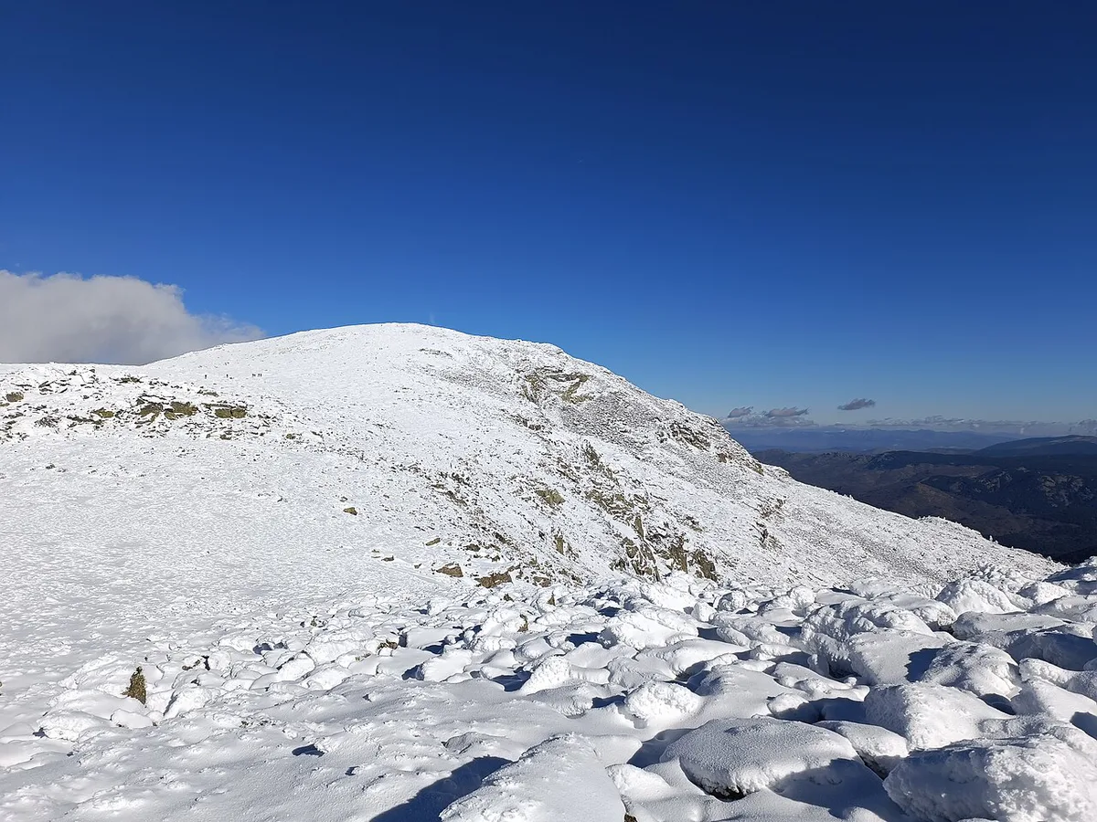
Spring and autumn give comfortable hiking temperatures in the lower valleys. Summer brings heat and crowds on La Pedriza, so start early and carry water. Winter brings snow to the higher ground, which opens the way to snowshoeing from Navacerrada. Guided offers on marketplace listings follow the seasons: Valle de la Barranca walks run June to September, and multi-day treks run April to October. Check AEMET before any high-altitude outing.
Rules, Permits and Safety
Rules differ by zone and by regional administration, because the park covers two provinces. Fire restrictions, camping and bivouac rules, and any permit requirements are set by the park authorities. Check the Madrid regional park site for the Madrid side and the Castilla y León authority for the Segovia side. A guided two-day La Pedriza traverse with a bivouac night is sold by operators, so organised overnight stays exist. Do not assume you can pitch a tent anywhere. Common mistakes are arriving on a peak weekend without checking access, treating the sierra as a short city stroll, and ignoring weather changes at altitude.
Where to Stay and Base Yourself
Most visitors base themselves in Madrid and go out for the day. Cercedilla and Navacerrada suit travellers who want an early start on the Valle de la Barranca trails. Rascafría suits the Peñalara side. Segovia works if you want to combine the park with a historic town. Book ahead for winter weekends, when snow draws day visitors.
Snowshoeing from Navacerrada is listed at €20 to €40 for 3.5 to 4 hours, so budget for it alongside winter weekend crowds.
Costs and Booking: Guided vs Self-Guided
No entry fee is stated in the official pages we reviewed. Check the park authority's site before you go. Self-guided hiking costs only transport and food. Guided days help with geology, navigation and having no car. Marketplace listings show one-day hikes from €33 to €92 per person, and a guided day hike with Segovia sightseeing at €163. Horse riding in the park is listed from €75. Prices and hours checked November 2026, and group size changes the rate.
Combining the Park with Segovia or Nearby Stops
Segovia pairs well with a day in the Segovia-side villages. A guided hike-plus-Segovia day is sold from Madrid, and it saves you arranging two sets of transport. Buitrago is another nearby stop. If you want higher alpine scenery, compare this park with Ordesa in the Pyrenees. For another range, read about Sierra Nevada. Inland alternatives include Monfragüe and Cabañeros. Our ranking of the best Spanish parks helps you choose between them.
Frequently Asked Questions
Are there mountains in Madrid, Spain?
Yes. The Sierra de Guadarrama rises north of the capital, in Madrid and Segovia provinces. It belongs to the Sistema Central, a chain about 500 km long. The national park protects its glacial lagoons, granite outcrops and pine forests.
How do I get to Sierra de Guadarrama from Madrid?
Take a Cercanías train to Cercedilla or Navacerrada for the Valle de la Barranca area. Buses from Moncloa serve the northern valleys. Drive for La Pedriza or the Segovia side, and check parking limits first.
Notes for your next park visit
Optional updates to our national park guides.
Read next

Keep planning
Picked from the same area