
Snæfellsnes Peninsula Guide: Day Trip or 2 Days?
Plan the Snæfellsnes Peninsula: best stops, day trip vs 2-day route, getting there from Reykjavík, seasons and mistakes to avoid.
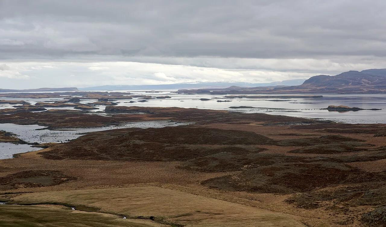
Last updated November 2026: the Snaefellsnes peninsula sits in west Iceland, about two hours by road from Reykjavík. It packs a glacier-topped volcano, sea cliffs, fishing villages and Kirkjufell into one loop. Use this overview to choose your stops, then follow the links into the detailed pages of our Iceland national parks guide.
Featured image: Jakub Hałun, CC BY-SA 4.0, via Wikimedia Commons.
Snaefellsnes Peninsula at a Glance
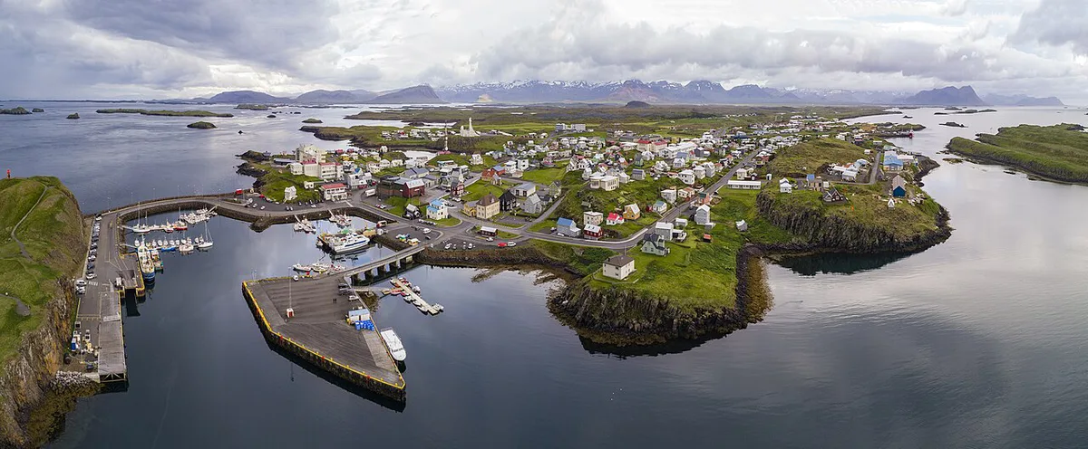
Snæfellsnes is often called "Iceland in miniature". Within one compact region you get a glacier-capped volcano, black beaches, lava fields, fishing villages and sea cliffs. Snæfellsjökull National Park sits at the western end. Villages such as Arnarstapi, Hellnar, Grundarfjörður, Stykkishólmur and Ólafsvík are spread along the coast. The regional tourism office, Visit Snaefellsnes, lists local services. The table shows how a day trip compares with an overnight trip.
| Day trip | Overnight (1 night) | |
|---|---|---|
| Stops | 3-4 selected stops | Most of the full loop |
| Pace | Mostly roadside viewpoints and short walks | Time for the clifftop path and a village meal |
| Best for | First-timers with one free day | Photographers, hikers, families |
| Light | One lighting window at best | Sunset and sunrise at Kirkjufell possible |
How to Get There and Get Around
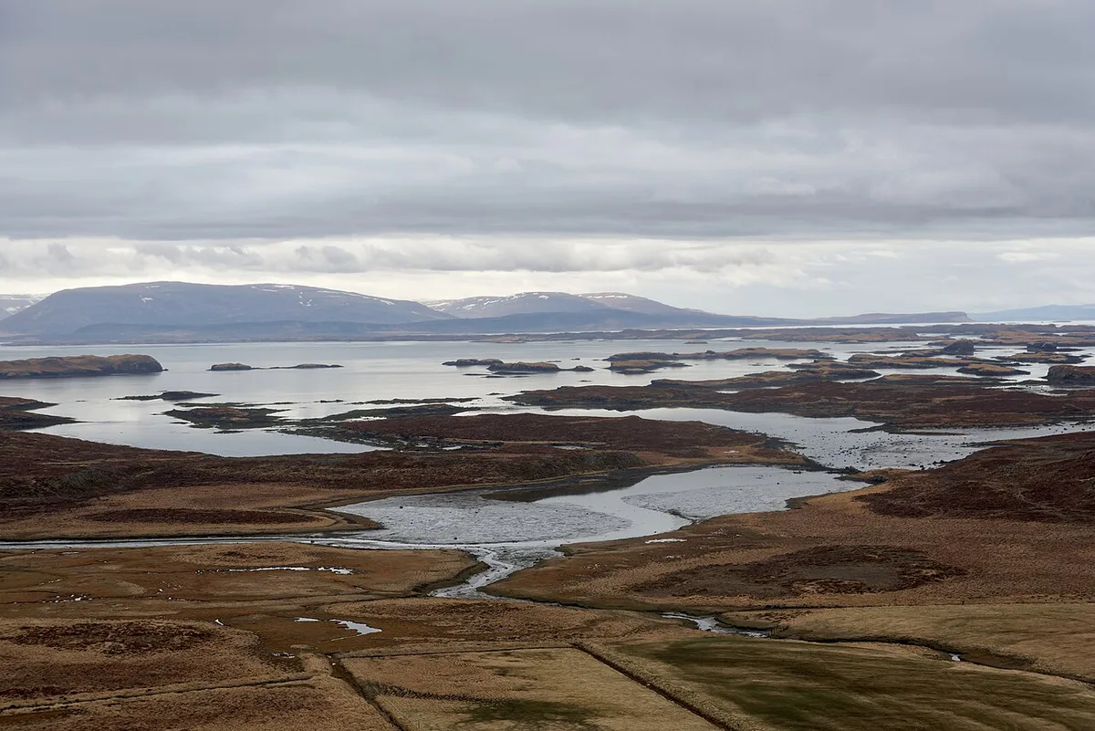
From Reykjavík, drive north on Route 1 to Borgarnes, then take Route 54 onto the peninsula. The loop from Borgarnes is about 250 km (roughly 155 miles). Expect around two hours of driving just to reach the peninsula. A self-drive trip gives you control over timing and photo stops. Wind and winter road conditions are the trade-off, so check the Icelandic Road and Coastal Administration's road and weather pages on the morning you leave. Many day tours also leave from the capital, which suits travelers without a car. Compare operators' itineraries before booking, because stop lists differ. Services between villages are sparse, so fill the tank and plan meals in Grundarfjörður, Stykkishólmur or Arnarstapi. To see where the park sits on the peninsula, open our Iceland National Parks Map: All Parks and How to Reach Them.
Best Stops on the Snaefellsnes Peninsula
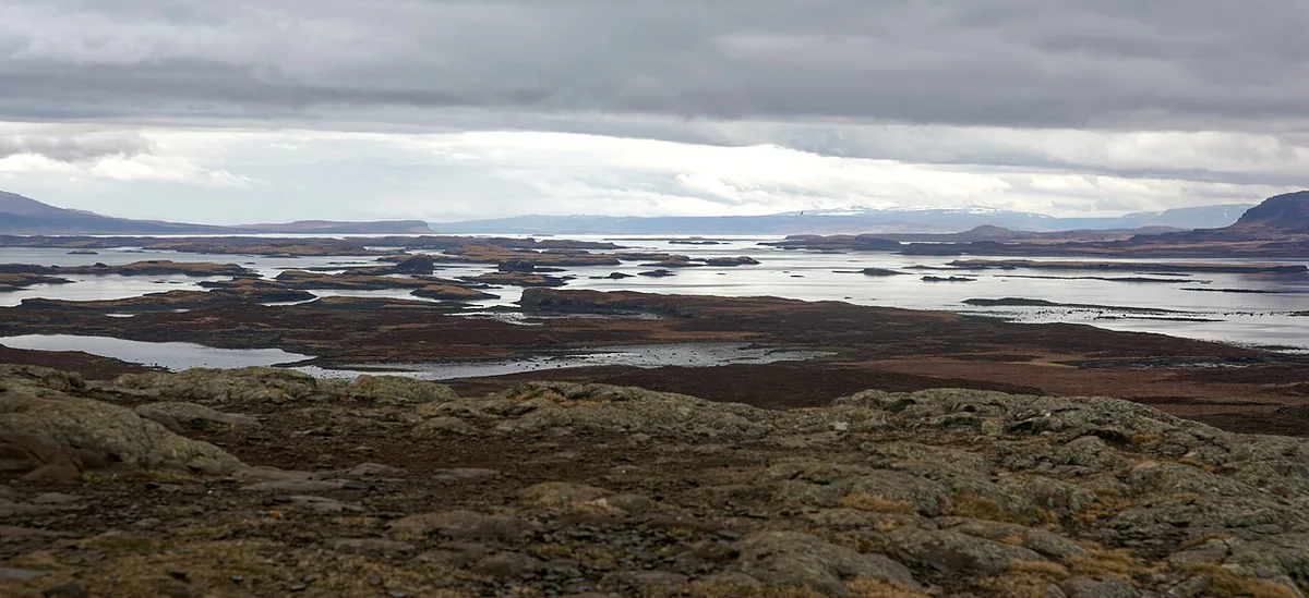
Each stop below earns its place for a different reason. Kirkjufell rises 463 m above the sea near Grundarfjörður, and the nearby Kirkjufellsfoss waterfall frames the classic view. The Arnarstapi to Hellnar clifftop path runs about 2.5 km. Gerðuberg's tallest basalt columns reach almost 14 m. Use the "worth it if" lines to cut the list to your time.
- Snæfellsjökull National Park: worth it if you want the glacier-topped volcano, lava fields and craters at the western end. Guided tours also explore the Vatnshellir lava cave.
- Arnarstapi and Hellnar: worth it if you want a short coastal walk past basalt columns, the Gatklettur sea arch and nesting seabirds. Hellnar is a coffee stop above the waves.
- Djúpalónssandur: worth it if you like black pebble beaches, lava rock and the rusted remains of a trawler wreck.
- Kirkjufell and Kirkjufellsfoss: worth it if photography is the priority, especially near sunset.
- Lóndrangar: worth it if you want two tall volcanic rock pillars rising from the sea near Hellnar.
- Búðir: worth it if you want the small black church standing alone in a lava field.
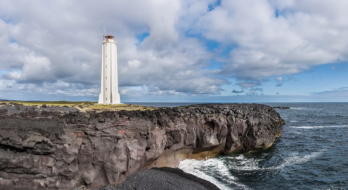
- Öndverðarnes: worth it if you want a lighthouse and sunset views at the westernmost tip.
- Gerðuberg: worth it if you want a quick stop at a wall of basalt columns on the southern side.
- Stykkishólmur: worth it if you want a harbor town with colorful wooden houses, the Norwegian House museum and boat trips on Breiðafjörður.
Snæfellsjökull National Park: Trails, Lava Cave and Stops
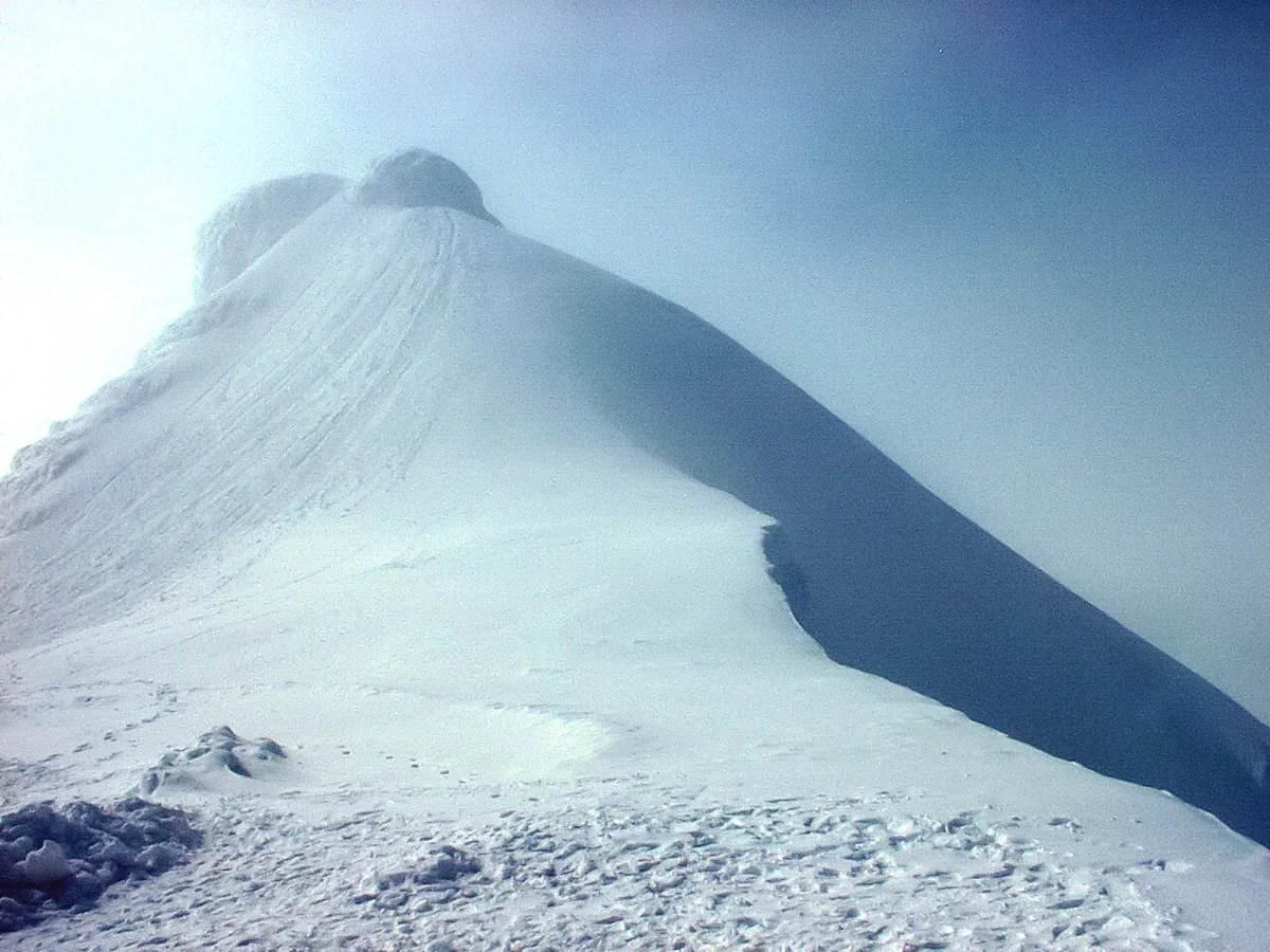
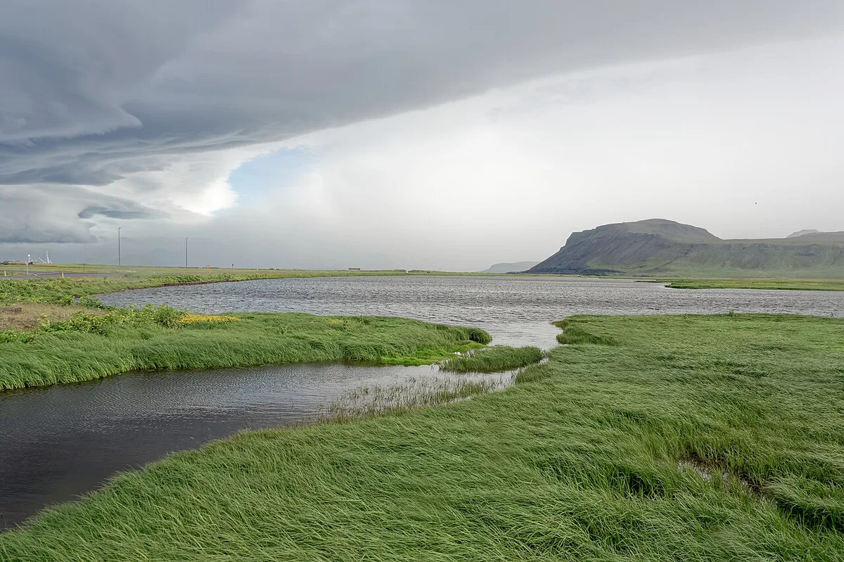
The park covers the western tip of the peninsula and is where most visitors spend the middle of the day. The glacier-capped volcano, Snæfellsjökull, rises to about 1,446 m. Jules Verne chose it as the entrance to his Journey to the Centre of the Earth. The stops below sit close together along the coastal road, so you can see several in a few hours.
Plan the park stops in order
- Malarrif visitor centre: the park's information point on the south coast. Opening times vary by season, so check the national park pages before you go. It is a sensible place to ask about road and trail conditions.
- Lóndrangar: two volcanic plugs standing off the coast, roughly 61 m and 75 m tall. A short path from the car park leads to the cliff-edge viewpoints.
- Vatnshellir lava cave: a lava tube about 8,000 years old that you enter by spiral staircase, descending around 35 m. Entry is by guided tour only, and the tour runs for roughly 45 minutes to an hour. Book ahead in summer.
- Djúpalónssandur: a marked path of about 10 to 15 minutes leads down through the lava to the beach. Four lifting stones lie near the entrance. They were once used to test the strength of fishermen at the old Dritvík station, and they weigh from about 23 kg to 154 kg. Do not swim here, because the waves are strong and sudden.
The glacier itself
The ice cap is not a casual walk. Crevasses and fast-changing weather mean you should join a guided glacier or snowcat tour. Check the day's forecast first, because cloud often covers the summit even when the coast is clear.
If you only have a day, treat the park as one block of about three hours. Start at Lóndrangar, finish at Djúpalónssandur, and add Vatnshellir only if you have booked a slot.
Snaefellsnes Day Trip vs 2-Day Itinerary
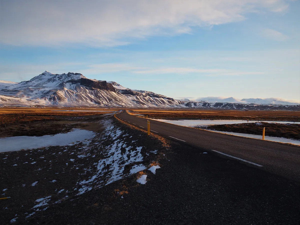
The loop is long compared with the time you spend on foot. For one day, pick 3-4 stops and skip the rest. For two days, drive the full loop at an easier pace. Our editorial view is to go anticlockwise from Borgarnes if you want to end at Kirkjufell for sunset. That order puts the park and the Arnarstapi coast mid-trip. Clockwise suits travelers who want to reach Stykkishólmur first and finish on the south coast. Both directions work, so let the light and your overnight base decide.
Counting the drive in, a loop of about 250 km (roughly 155 miles) leaves little room for extra stops on one day.
| Plan | Stops to keep | What to skip |
|---|---|---|
| Day trip | Snæfellsjökull park, Arnarstapi, Djúpalónssandur, Kirkjufell | Öndverðarnes, Gerðuberg, Stykkishólmur |
| 2-day loop | All stops above, plus Búðir, Lóndrangar and Stykkishólmur | Nothing essential |
| Photographers | Kirkjufell, Búðir, Öndverðarnes | Inland detours |
| Families | Arnarstapi path, Djúpalónssandur, Stykkishólmur | Long hikes |
| Hikers | Arnarstapi to Hellnar path, Gerðuberg | Roadside-only stops |
| No car | Tour stops chosen by the operator | Anything outside the tour route |
- Stykkishólmur: best for harbor views, museums and boat trips.
- Grundarfjörður: best base for Kirkjufell at sunrise or sunset.
- Arnarstapi area: best base for the park and coastal walks.
Costs, Tickets and Opening Hours
Roadside viewpoints, beaches and the coastal path are free to visit. Paid items include the Vatnshellir lava cave tour and the Baldur ferry across Breiðafjörður, plus guided boat trips and tours. Prices and hours checked November 2026 were not published in a single place, so take amounts from the operators. Costs are low for a self-drive day and rise with tours, meals and an overnight stay. Fuel and food are the main variable costs. The national park and ferry operator pages hold current fares. Visit Iceland lists regional planning information.
Wildlife and Seasons
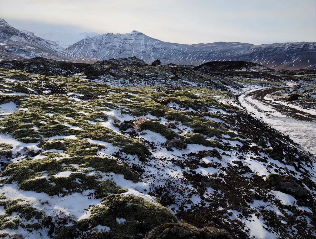
Seals often rest on the rocks at Ytri Tunga beach, especially in summer. Puffins, arctic terns and other seabirds nest on the cliffs near Arnarstapi. Orcas sometimes appear off the coast in winter. Summer brings long daylight and busier villages. Winter brings short days, changeable roads and a chance at northern lights. Allow extra time and daylight margin between stops in winter, and re-check conditions before each leg.
Mistakes to Avoid and Safety
Most problems come from wind, weather and overpacked days.
- Skipping the road check: strong wind can close or slow roads, so look before you leave.
- Opening car doors in a gust: wind can damage a door, so hold it with both hands.
- Walking on moss: stay on marked paths, because damage lasts for years.
- Climbing Kirkjufell without a guide: the climb is dangerous.
- Overloading a day trip: choose 3-4 stops rather than the whole loop.
- Running low on fuel: services are sparse between villages.
Frequently Asked Questions
Where is the Snaefellsnes Peninsula located?
Snæfellsnes juts into the sea in west Iceland, north of Reykjavík. You reach it by driving Route 1 to Borgarnes and then Route 54. Snæfellsjökull National Park sits at its western end.
How do you pronounce Snæfellsnes?
Icelandic "æ" sounds like the English word "eye". A rough guide is SNYE-fells-ness.
Notes for your next park visit
Optional updates to our national park guides.
Read next

Keep planning
Picked from the same area