
Snæfellsjökull National Park: Stops and Day Plan
Plan a visit to Snæfellsjökull National Park: how to get there from Reykjavik, the best stops, how long to allow, and when to go.
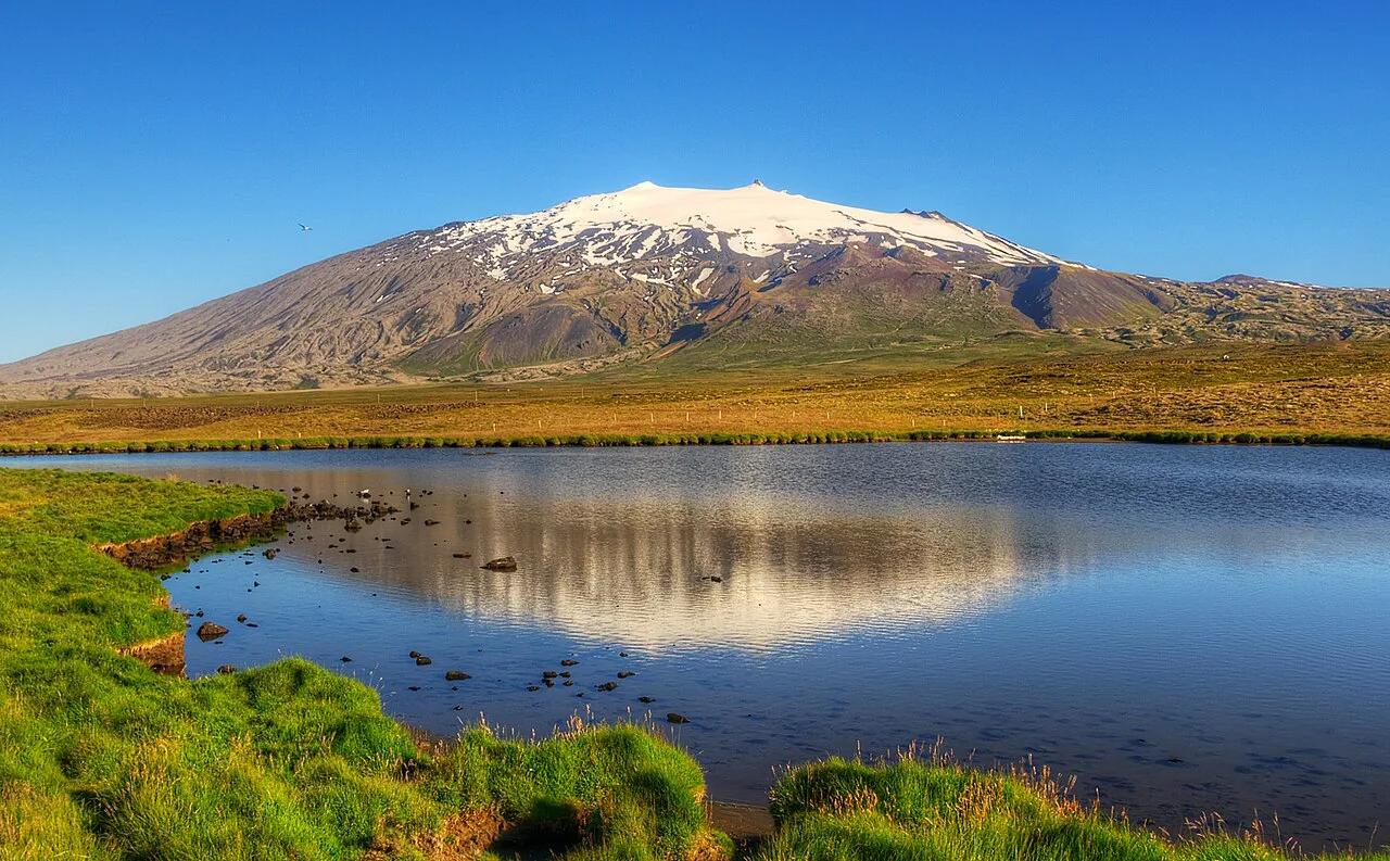
Last updated November 2026. Snaefellsjokull National Park covers the glacier-capped volcano at the western tip of the Snæfellsnes peninsula in west Iceland. It is an open landscape of lava, cliffs and black beaches, with no gate to pass through. Most visitors do it as a long day from Reykjavik, but one overnight lets you see it properly.
Featured image: Axel Kristinsson from Reykjavík, Iceland, CC BY 2.0, via Wikimedia Commons.
Snaefellsjokull National Park at a glance
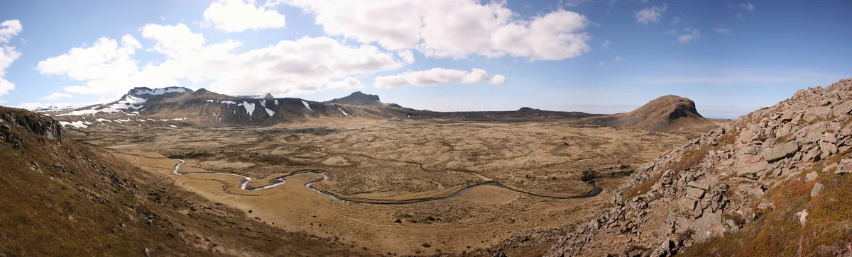
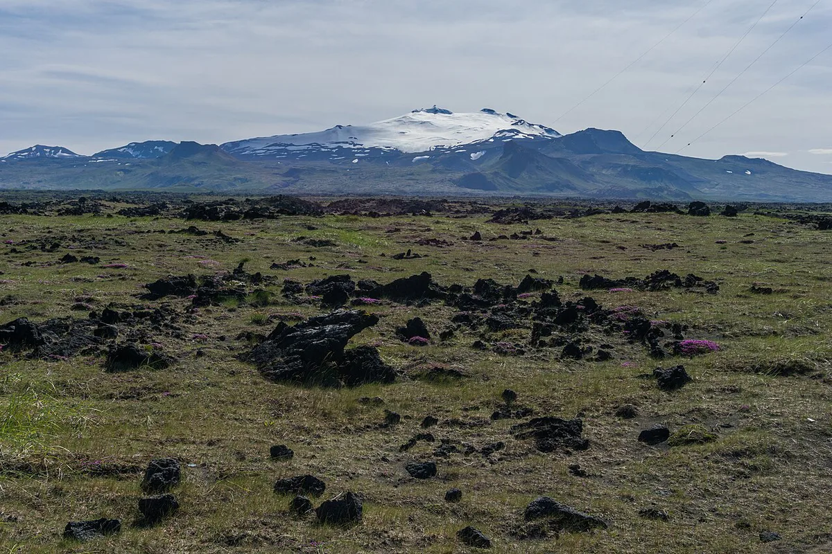
Snæfellsjökull is a stratovolcano with an ice cap on top, and the park is built around it. The summit is listed at 1,446 m (about 4,744 ft). Some online guides describe an "entrance" at Hellissandur or on Route 54. There is none. You move between stops on public roads, and the visitor centre at Malarrif is the main staffed point. Jules Verne used the glacier as the way into the earth in his novel Journey to the Center of the Earth, which is why many first-time visitors know the name. The park sits within the wider region described by Visit Snæfellsnes. You can place it among Iceland's other protected areas on the national parks map.
- Location: western tip of the Snæfellsnes peninsula, west Iceland
- Landmark: Snæfellsjökull glacier on a volcanic cone
- Main towns nearby: Hellissandur and Ólafsvík
- Staffed stop: Malarrif visitor centre
- Best fit: drivers who want coast, lava and one big mountain view
How to get there from Reykjavik
Driving is the practical option. Take Route 1 north to Borgarnes, then Route 54 onto the peninsula. Route 574 then loops around the western end of the park. Regional buses reach the towns on the peninsula, but the stops inside the park are spread out and hard to link on foot. Check current timetables on the Strætó site before you rely on a bus. Without a car, a small-group tour from Reykjavik is the simpler way to see several stops in one day.
Getting around without a car: buses, taxis and tours
The park has no shuttle, and the stops sit tens of kilometres apart along Route 574 and the coast road. Without a car you have three realistic options, and each one limits what you can see.
Public buses
Regional Strætó buses connect Reykjavik and Borgarnes with the main peninsula towns, but they run on a thin schedule and drop you in town centres, not at the trailheads. Several park stops, including Djúpalónssandur and the Malarrif area, are a long way from any bus stop. Check the current timetable on the Strætó site before you plan around it, because winter service is reduced and the last return can leave early in the afternoon.
Taxis
There are no taxi ranks on the western peninsula, and a car booked from Reykjavik for a loop of this length is expensive. Local taxis in the larger towns are best arranged by phone the day before, through your guesthouse or hotel. Treat a taxi as a way to cover one short gap, for example from a town to a single stop, not as a way to tour the whole loop.
Guided tours
For most visitors without a car, a small-group tour from Reykjavik is the better answer. The tour operator handles the driving and weather calls, and you reach the main stops in one day. The trade-off is a fixed pace. If you want longer at Arnarstapi or a slow walk at Djúpalónssandur, an overnight stay in a peninsula town with a short tour from there gives you more time on the ground.
Day trip or overnight on Snæfellsnes
A day trip works if you accept a short list of stops. An overnight lets you spread the stops across two days and see the glacier in better light. Cost levels below are relative, not quotes.
| Option | Time on the ground | Effort | Cost level | Best for |
|---|---|---|---|---|
| Day trip by car | Roughly 5 to 6 hours of stops | High: long driving day | Medium | First-timers with a car |
| Guided day tour | Fixed stops, set pace | Low | Medium to high | Visitors without a car |
| Overnight on the peninsula | Two half-days, slower pace | Medium | Medium to high | Photographers and hikers |
| Base in a peninsula town | Several days, flexible | Low once settled | Higher overall | Visitors exploring the whole Snæfellsnes peninsula |
The best stops in the park
Work around the western tip in one direction so you do not backtrack. The list below follows a loop starting from the south coast. Each stop needs between 30 minutes and an hour on a normal visit.
- Malarrif visitor centre: start here for maps, current conditions and staff advice.
- Vatnshellir cave: a lava tube you enter with a guide. Book ahead in busy months.
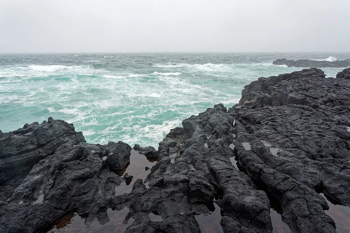
- Djúpalónssandur beach: a black pebble beach reached by a short walk through lava. Expect uneven ground.
- Arnarstapi cliffs: a small harbour village with sea-cliff paths and bird colonies.
- Hellissandur and Ólafsvík: the nearest towns for fuel, food and a roof if you stay.
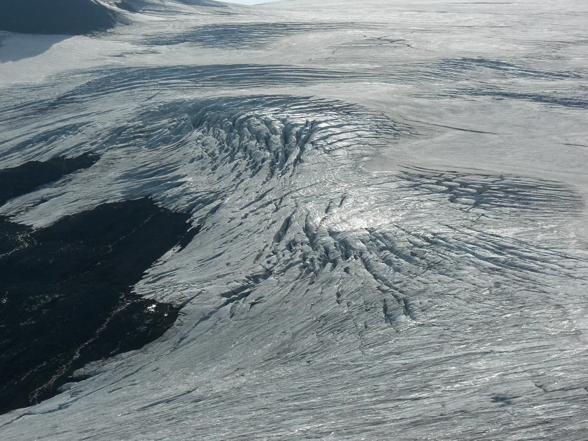
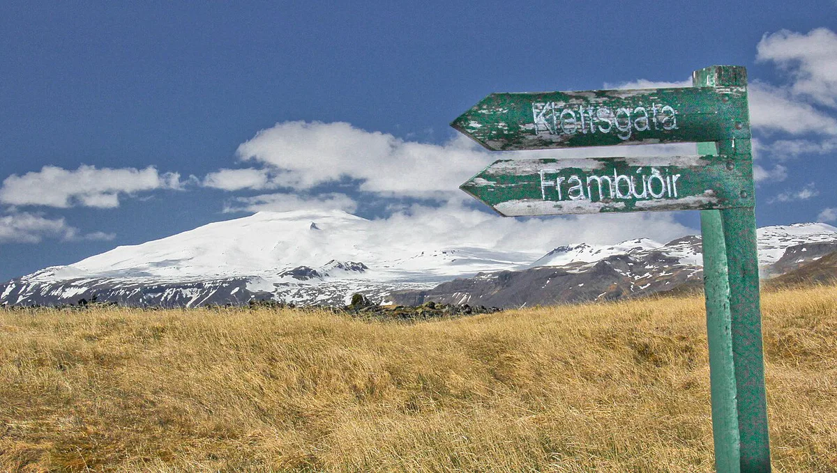
- Snæfellsjökull glacier: visible from most of the loop on clear days.
Snæfellsjökull glacier: what you can and cannot do
You can see the ice cap from the coast roads without walking anywhere. Going onto the ice is different. Glaciers hide crevasses, so use a licensed guide and the operator's own equipment. Operators set their own season and requirements, so read their pages before you book. Ask the Malarrif staff or the operator about conditions on the day. Skip the summit entirely if cloud sits on the top.
Sample day plan from Reykjavik
These are approximate stages tied to the drive onto the peninsula, not fixed times. Leave Reykjavik early, because the drive eats the first part of the day. If you have only a few hours on the ground, pick Djúpalónssandur and Arnarstapi and skip the rest.
Each stop takes between 30 minutes and an hour, so keep your list short. A short visit suits just the Djúpalónssandur and Arnarstapi pair.
- Early morning: Route 1 to Borgarnes, then Route 54 onto the peninsula.
- Midday: Malarrif visitor centre, then Vatnshellir if you booked it.
- Afternoon: Djúpalónssandur, then Arnarstapi for a cliff walk.
- Late afternoon: Hellissandur or Ólafsvík for fuel and an early meal.
- Evening: drive back, or stay overnight and continue the next morning.
When to go
Summer gives long daylight and the easiest driving. Winter shortens the day sharply, and wind or snow can close roads without warning. Check road.is and safetravel.is before you leave Reykjavik. Cloud often hides the summit in any season, so treat the glacier view as a bonus. Seabirds nest on the cliffs near Arnarstapi in the warmer months. Winter visits suit people who are comfortable with short days and a flexible plan. Visit Iceland lists seasonal travel advice.
Park versus peninsula: what is not in the park
Kirkjufell, the 463 m (1,519 ft) cone near Grundarfjörður, is on the north coast of the peninsula. It sits outside the national park. Many guides blur the line, so plan it as a separate stop. Our Kirkjufell guide covers it in detail. Allow extra driving time if you want both in a single day.
Nearby stops just outside the park
The park boundary does not match the places people tend to visit alongside it. These stops are outside the park but easy to add if you have the daylight:
- Búðir and Búðakirkja: a black wooden church on the south coast of the peninsula, set in lava fields with the glacier visible behind it on clear days. It is a short roadside stop, and it is the "Black Church" in the video above.
- Ytri Tunga: a beach on the south side of the peninsula where seals often rest on the rocks, most reliably in summer. Keep your distance and stay on the sand.
- Stykkishólmur: a harbour town on the north coast with food, lodging and ferry connections to the Westfjords. It is a good base for a two-day loop, but it adds driving time if you only want the park.
- Grundarfjörður: the nearest town to Kirkjufell, and a sensible fuel and lunch stop on the north side.
On a single day trip, pick one of these, not several. The park itself already fills the available daylight in winter, and the drive from Reykjavik takes a large share of the day in any season.
Mistakes to avoid
A few planning errors cause most of the disappointment on this loop.
- Searching for an entrance gate. There is none, so navigate to named stops instead.
- Packing too many stops. Two or three done well beat six rushed.
- Arriving with little fuel. Fill up in a town before the loop.
- Skipping food planning. Services thin out between the towns.
- Ignoring weather and road checks. Look at road.is and safetravel.is on the morning.
- Assuming Kirkjufell is a park stop. It is on the north coast.
Plan your next step
Compare this park with Iceland's others in our 4 Ways to Visit National Parks in Iceland (3 Parks) guide. For the bigger picture, use the Iceland National Parks Map: All Parks and How to Reach Them to plan a route.
Notes for your next park visit
Optional updates to our national park guides.
Read next

Keep planning
Picked from the same area