
Djúpalónssandur Beach: Visiting Guide, Safety & Logistics
Plan Djúpalónssandur: how to get there, wave safety, walking options to Dritvík, seasonal access and how it fits a Snæfellsnes day.
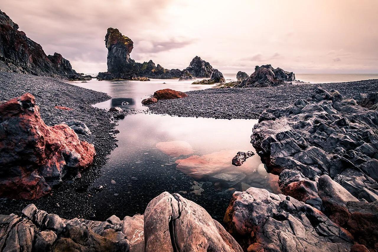
Last updated November 2026. Djupalonssandur (Djúpalónssandur) is a black lava-pebble beach on the southwest coast of the Snæfellsnes Peninsula, inside Snæfellsjökull National Park. It suits anyone who wants a short, dramatic coastal walk. It is not a swimming beach, and the waves are the main safety issue.
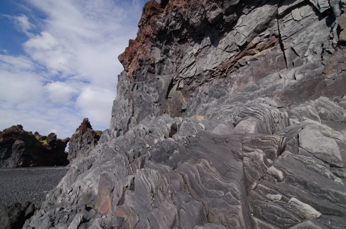
Featured image: Giuseppe Milo, CC BY 3.0, via Wikimedia Commons.
Quick Answer: Is Djupalonssandur Worth the Stop?
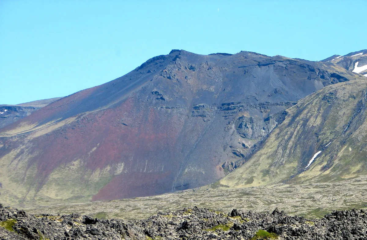
Yes, for most visitors driving the peninsula. Polished black pebbles, jagged lava formations and the glacier summit make a compact stop that rewards a short walk. Many visitors need only a short time here, which keeps it easy to combine with other stops.
It suits photographers, families with older children, and anyone who likes coastal geology. Skip the beach itself if you have small children who will not stay back from the surf. Skip the stop entirely if daylight is short and you have already seen the park's other coast viewpoints. The boardwalk to a viewing platform gives a lower-effort alternative for anyone who does not want to walk down to the shore. Park context is covered in our Snæfellsjökull National Park guide.
Safety on the Beach: Waves, Currents, and Distance
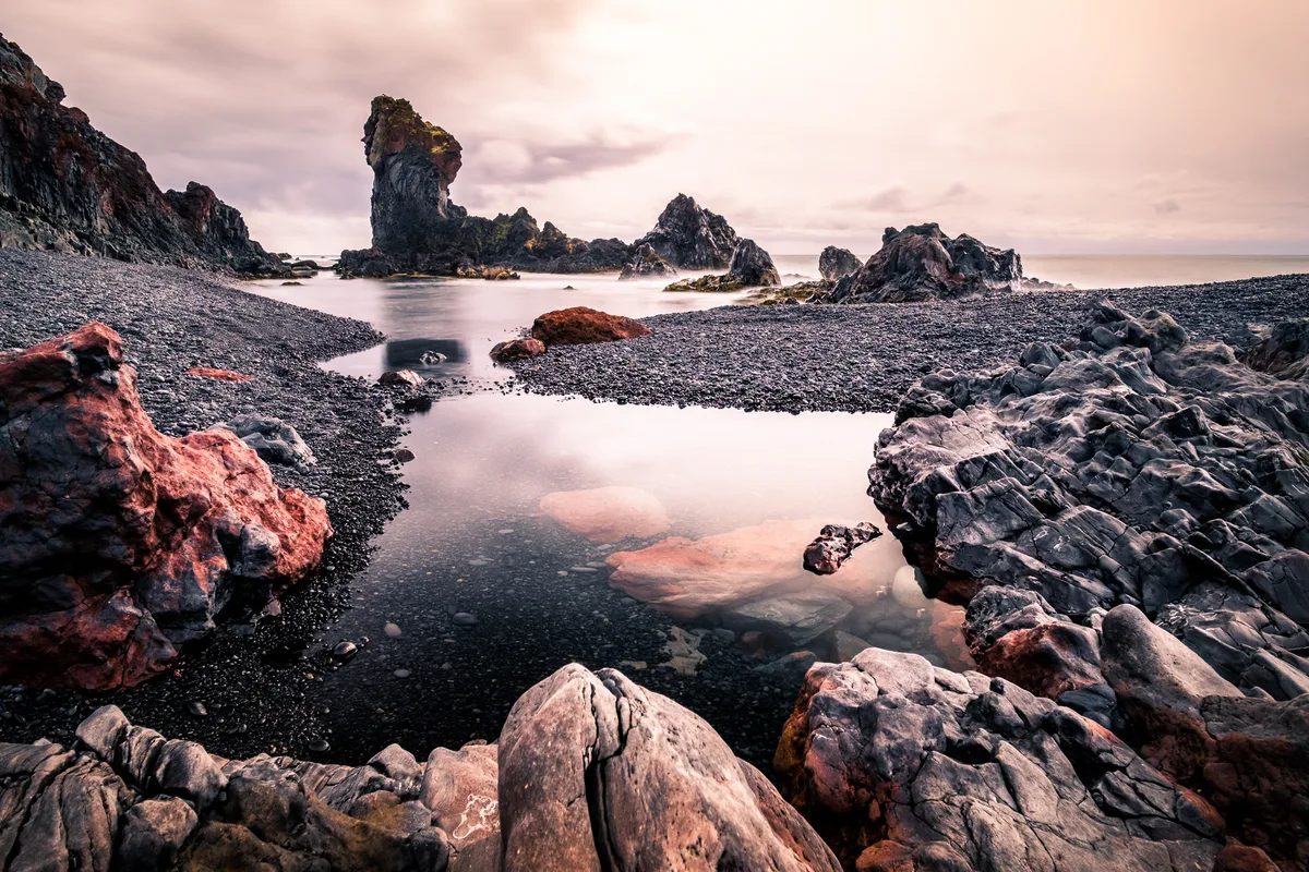
Waves here are unpredictable, and currents in the area are dangerous. Local guidance recommends staying 25 m (about 82 ft) from the sea in normal conditions. In rough seas, stay 40 m (about 131 ft) back.
Lifting stones by the beach weigh up to 154 kg (about 340 lb), which is why the advice to leave boulders where they are matters here.
Do not swim or paddle. Never turn your back on the surf, even when it looks calm. Check the weather and sea conditions before you leave your last stop, and turn back if the swell looks heavy. Iceland's national park network publishes visitor rules for each protected area, including the 4 Ways to Visit National Parks in Iceland (3 Parks).
- Stay 25 m (about 82 ft) from the water in normal conditions.
- Stay 40 m (about 131 ft) back when the sea is rough.
- Do not swim, paddle or stand on low rocks near the surf.
- Wear boots with grip, because wet pebbles are slippery.
- Leave stones, lifting boulders and wreck fragments where they are.
Getting There: Road 572, Parking, and Facilities
Turn onto Road 572 and follow it to Djupalonssandur beach. A car park serves the site, and the toilets are reportedly closed in winter. From the car park, take the right-hand path past the picnic table and walk down to the beach.
Road and fuel details change with the season, so look at current conditions before leaving Arnarstapi or Kirkjufell. Visit Snæfellsnes lists regional visitor information for the peninsula. Prices and hours checked November 2026. Fees were not listed in the sources we reviewed, so look for signs at the car park.
Djupalonssandur at a Glance: Location and Planning Facts
These are the basics to settle before you set off. Road and weather conditions deserve a fresh look on the day you go.
| Detail | What to know |
|---|---|
| Location | West end of the Snæfellsnes Peninsula, inside Snæfellsjökull National Park |
| Access road | Road 572, which branches off the peninsula's coastal Road 574 (Útnesvegur) |
| Drive from Reykjavík | Roughly 200 km, about 2.5 to 3 hours without stops |
| Nearest villages | Arnarstapi and Hellnar to the east, Hellissandur and Rif to the north |
| Facilities | Car park, picnic table and toilets (reportedly closed in winter); no shop or café at the site |
| Swimming | Not safe; keep to the distances given in the safety section |
Because there is no food or fuel at the beach, fill up and buy supplies in a larger village first. Mobile coverage can be patchy on this stretch, so download your route in advance.
What to See: Lava Pearls, Gatklettur Arch, Lifting Stones, and the Epine Wreck
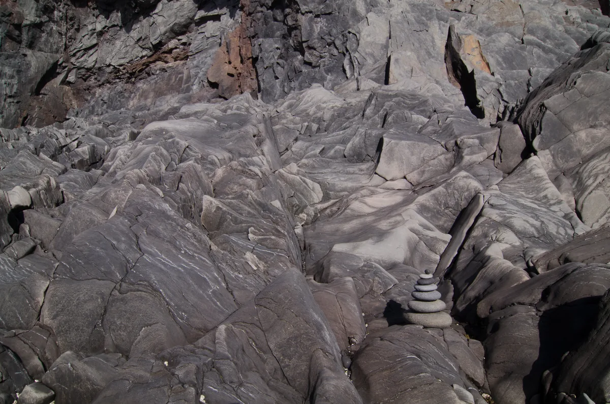
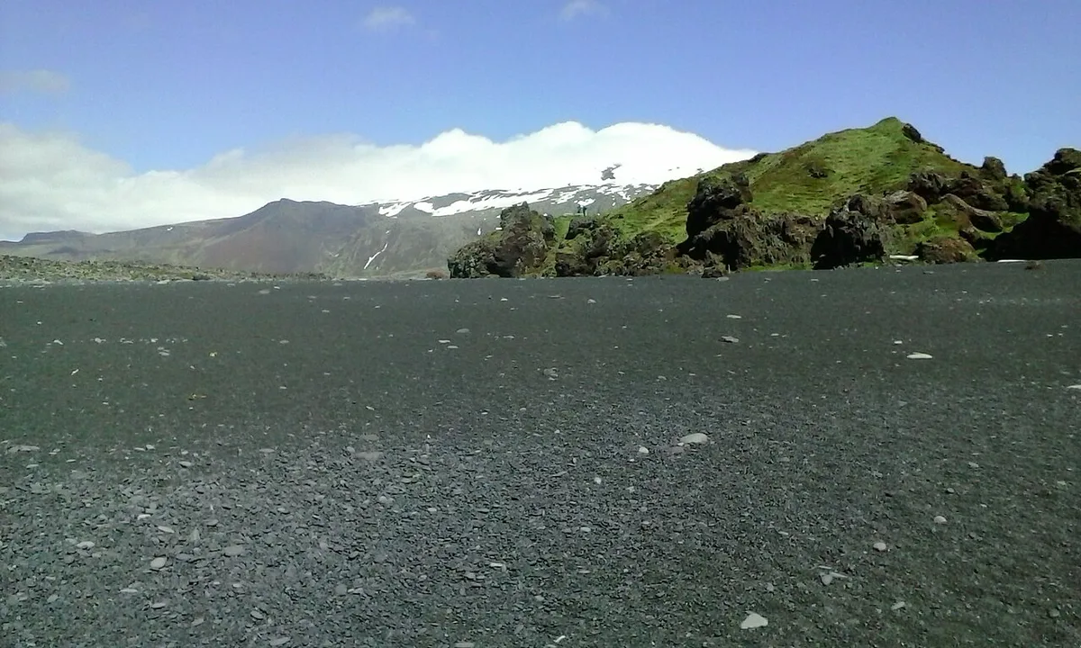
The pebbles are the main draw. Waves have rounded them into smooth black stones known as Djúpalónsperlur, or the pearls of Djúpalón. They are protected, so leave them on the beach. Walking on them makes a distinctive crunching sound.
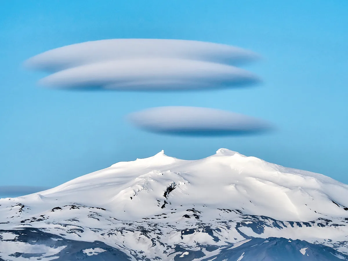
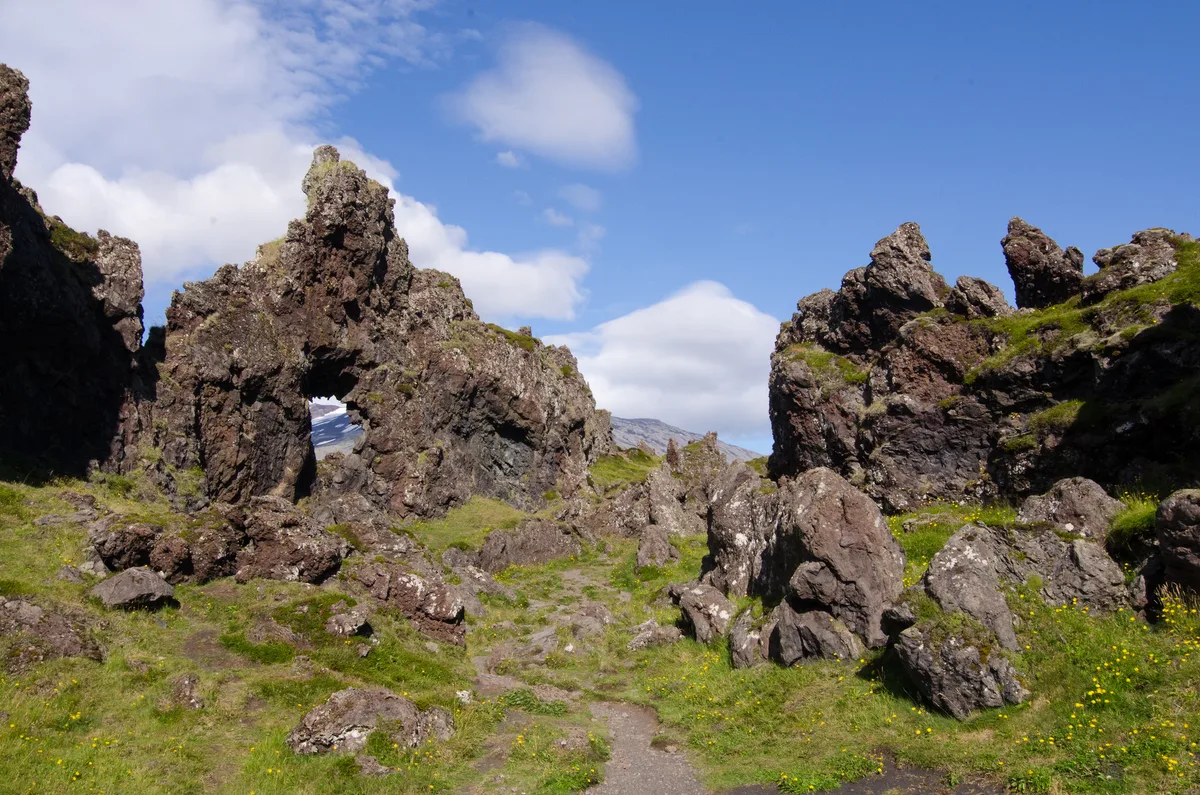
On the way down, you pass a lava formation with a hole in it, called Gatklettur. In clear weather, the summit of Snæfellsjökull is framed in the opening from a certain angle.
By the beach lie four lifting stones, called Aflraunasteinar. They weigh from 23 kg (about 50 lb) to 154 kg (about 340 lb). Fishermen once used them to prove their strength, and the result affected their place on the boat.
In March 1947, the British trawler Epine ran aground in a storm. Only five of its 19 crew were rescued. The wreck was left to break down naturally, and rusty remains still lie on the beach. Metal edges are sharp, so keep your distance.
Choose Your Walk: Viewing Platform vs Beach vs Dritvík
Three options cover most visits. Effort levels below are relative, because we have no verified timings for each route. Dritvík is a former fishing station, and visitor reports describe the walk there as easy and a little over a mile each way. In wind or rain, look at trail conditions before setting off.
| Option | Effort | What you see | Best for | Caveats |
|---|---|---|---|---|
| Viewing platform | Lowest | Beach and surrounding lava from above, reached by boardwalk | Limited mobility, short stops, small children | You do not reach the pebbles or lifting stones |
| Beach walk | Low to moderate | Pebbles, Gatklettur, lifting stones, Epine remains | Most visitors | Slippery pebbles and surf risk |
| Beach plus Dritvík | Moderate | All of the above plus the former fishing station cove | Visitors with spare time and good weather | Longer exposure to wind, and you must walk back |
Best Time to Visit and Seasonal Caveats
Clear weather gives the best view of Snæfellsjökull through Gatklettur. Wind and rain can make the pebbles slick and the walk unpleasant at any time of year. In winter, toilets at the car park are reportedly closed, and daylight is short.
Before a winter visit, check road status and weather rather than assuming the usual access. Safe travel advice for Iceland is published on Visit Iceland. Always treat the surf distances above as a minimum, not a target.
Fitting It Into a Snæfellsnes Day
Djupalonssandur works well as a midpoint stop on a loop around the peninsula. The coastal village of Arnarstapi is a natural neighbor. Kirkjufell makes a good later stop, but allow enough daylight for the drive, especially outside summer.
If the day is short or the weather turns, cut the Dritvík extension first. Keep the beach walk, since it carries the main sights. You can also see where the stop sits among Iceland's protected areas on the national parks map. Services are limited along this coast, so carry food and fuel.
Londrangar Cliffs and Ytri Tunga: Two Nearby Stops
Two other stops sit on the same peninsula and pair well with a visit to the beach. Neither replaces the pebble beach, but both help fill a day without much backtracking.
Londrangar Cliffs
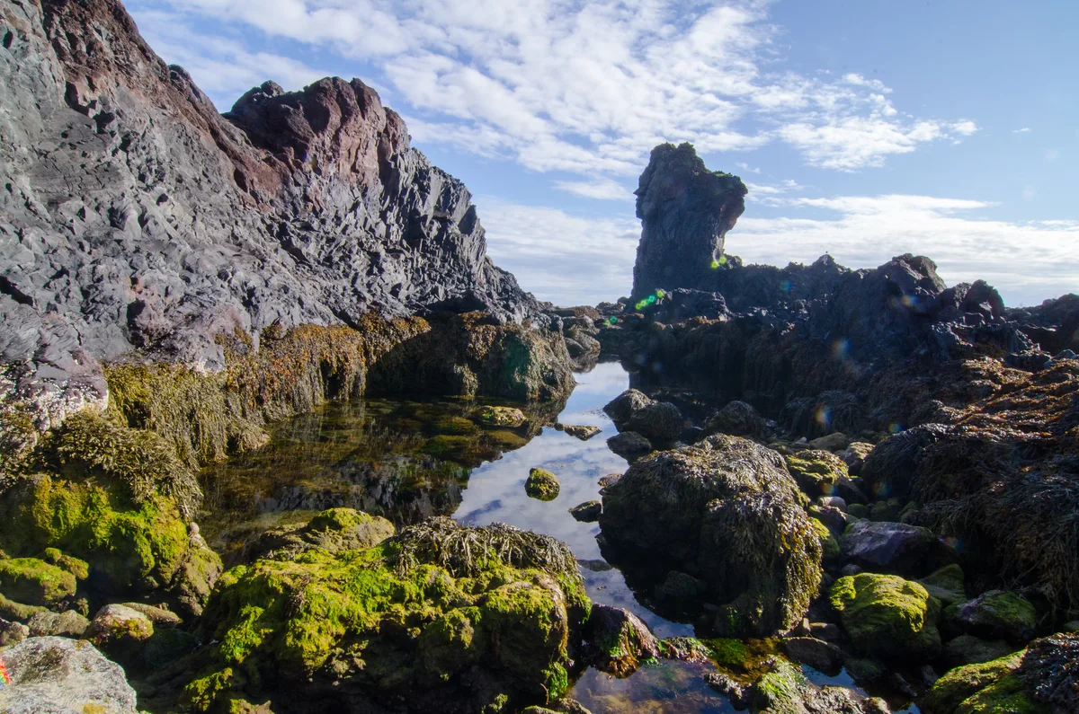
Londrangar are two tall basalt pillars standing just off the coast. They are the remains of volcanic plugs whose softer surrounding rock has eroded away. The taller pillar is commonly given as about 75 m high. They lie on the coast road between Arnarstapi and Djúpalónssandur, so they fit naturally as a short pull-off before or after the beach. Treat the cliff edges with care in wind, and keep to marked paths.
Ytri Tunga seal beach
Ytri Tunga is a golden-sand beach on the south coast of the peninsula, away from the Djúpalónssandur side. Seals often rest on the rocks at the shore, and they are easiest to see at a distance. Keep well back and stay quiet, because disturbed seals leave the rocks. Sightings are not guaranteed, and the number of animals varies by season and tide.
- Best pairing: Londrangar between Arnarstapi and the beach, then Ytri Tunga on the drive back toward the south coast.
- If time is short: keep the beach and Londrangar, and drop Ytri Tunga.
- Weather: a clear day helps for Londrangar, while seals can be seen in grey weather too.
Folklore in Brief
Local legend says some of the tall rocks on the beach are trolls turned to stone by daylight. One is named Kerling, the troll woman. Another rock, Söngklettur, is said to be a church of the elves. These are stories, not facts, but they explain why the place is linked with Iceland's trolls and hidden people.
Notes for your next park visit
Optional updates to our national park guides.
Read next

Keep planning
Picked from the same area