
Kirkjufell, Iceland: Best Viewpoints, Parking and When to Go
Where to see Kirkjufell and Kirkjufellsfoss, how to get there from Reykjavík, the best season for light and aurora, and why not to climb it.
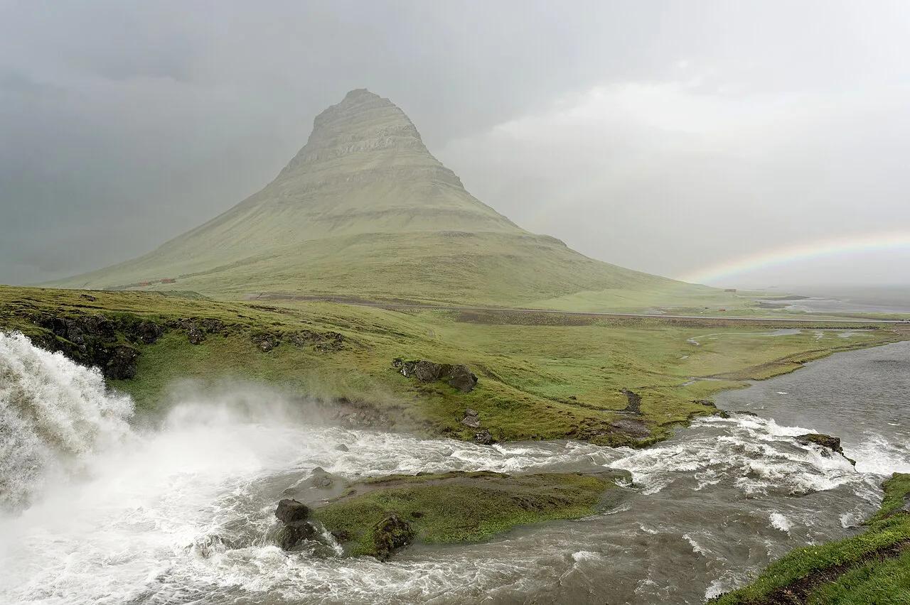
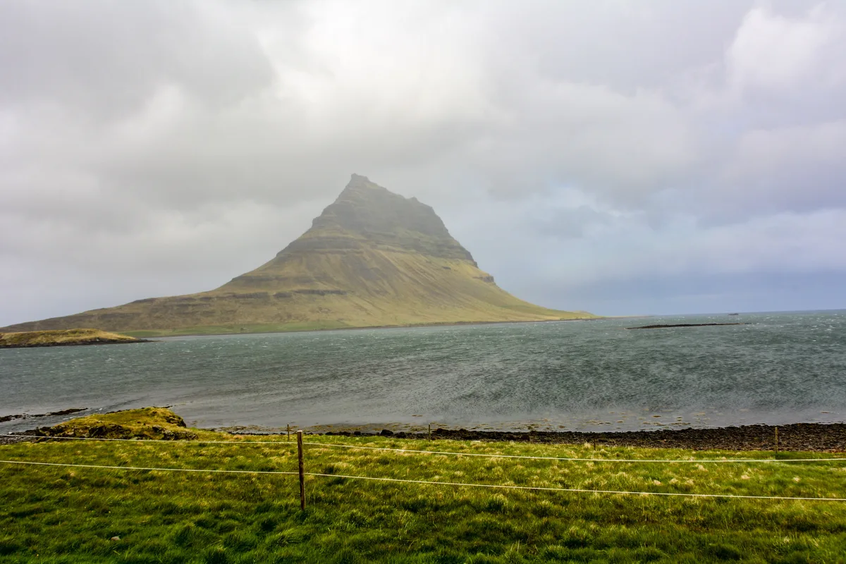
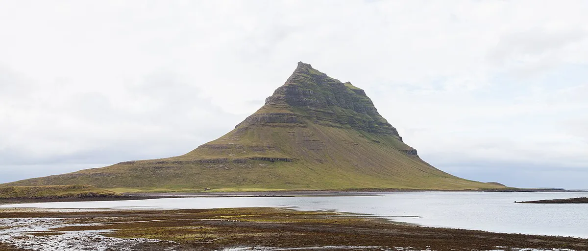
Last updated November 2026: Kirkjufell is a freestanding, cone-shaped mountain, 1,519 feet (463 m) high, beside Grundarfjörður on the north shore of the Snæfellsnes Peninsula. Kirkjufellsfoss, a set of small waterfalls across the road, completes the classic photo. Below you will find viewing spots, parking, seasons and the drive from Reykjavík.
Featured image: Jakub Hałun, CC BY 4.0, via Wikimedia Commons.
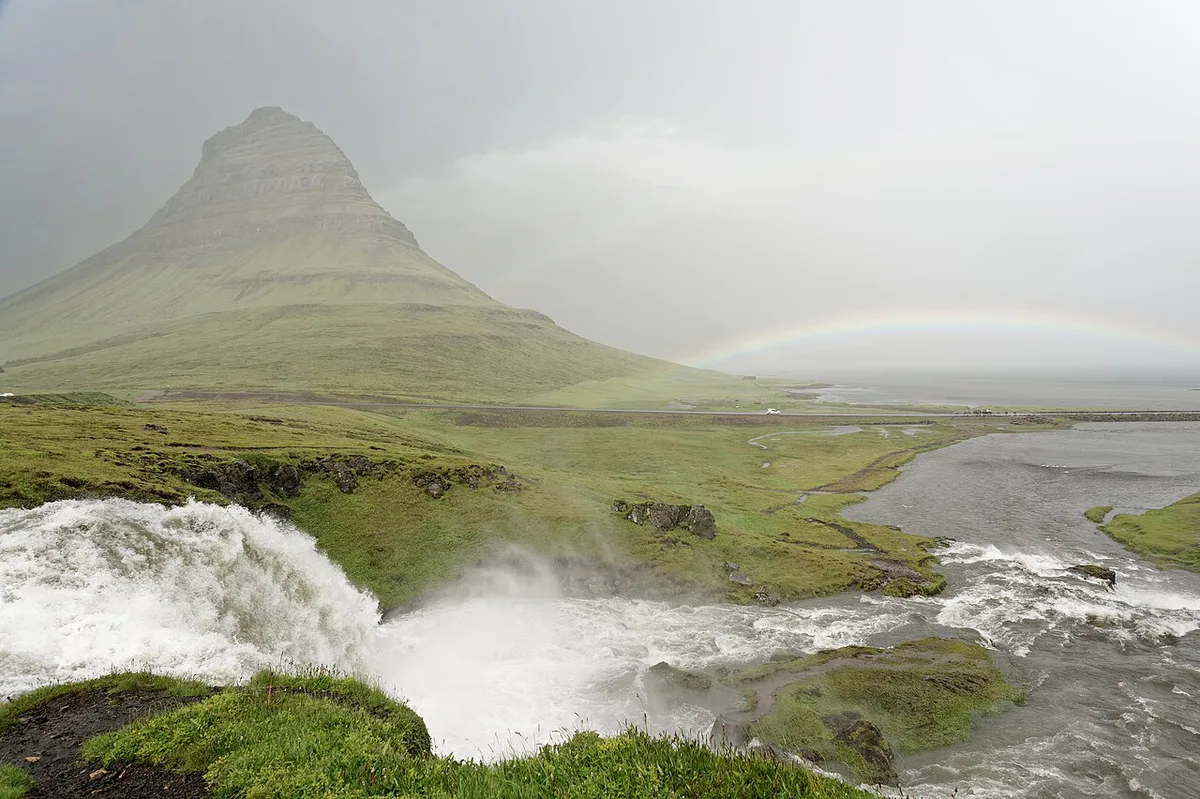
Kirkjufell at a glance
Short answer: Kirkjufell is worth the drive if you have a full day or a night on the peninsula. Grundarfjörður sits on Route 54, which is paved and open all year. Most visitors spend about 40 minutes at the stop.
- Location: north shore of Snæfellsnes, beside Grundarfjörður
- Height: 1,519 feet (463 m)
- Walk: 5 minutes from the car park to the bridge above the falls
- From Reykjavík: about 110 miles (180 km), roughly 2 hours 20 minutes by car
- Best light: sunrise, sunset, or a clear winter night for aurora
Where to see Kirkjufell from
Three positions give three different pictures, and each asks for a different amount of effort. Smaller viewpoints are labelled differently on different maps, so follow the signs on arrival.
| Position | Effort | What you see | Best for |
|---|---|---|---|
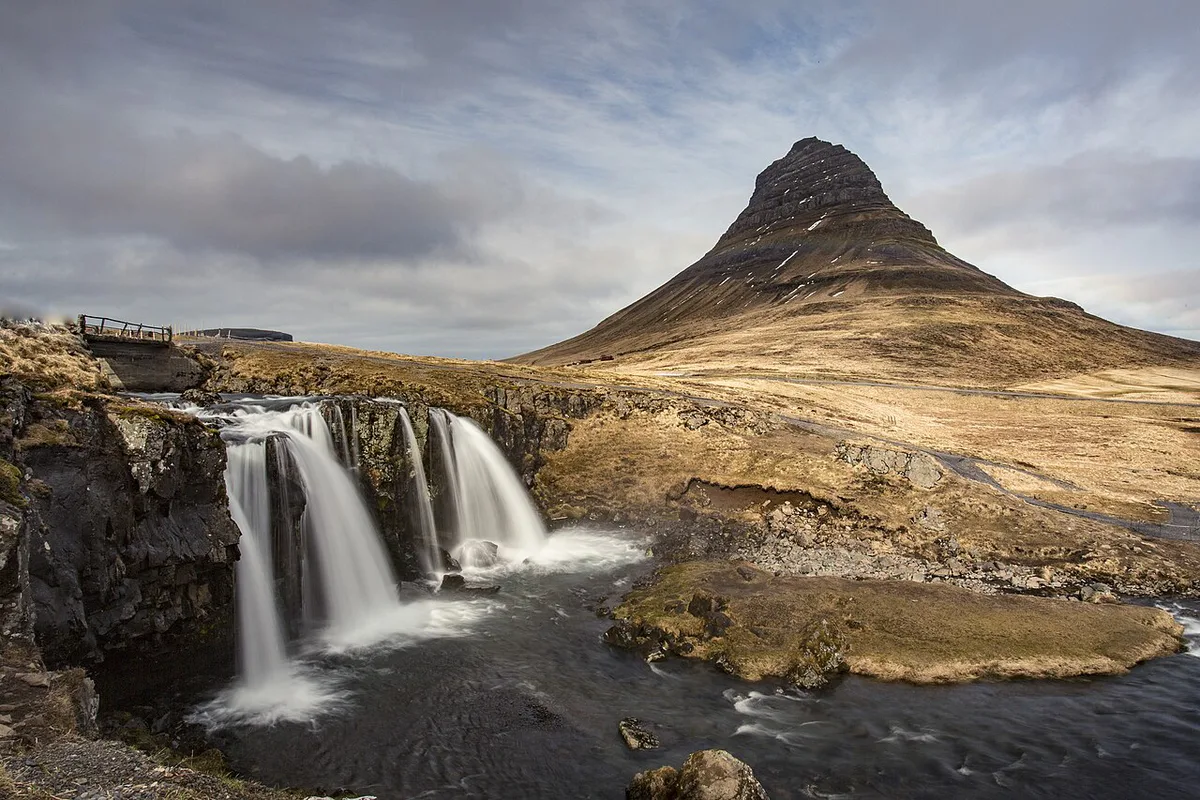
| Bridge above Kirkjufellsfoss | 5-minute path from the car park | Small falls in the foreground, mountain behind | The classic photo |
| Kirkjufell viewpoint (Kirkjufell útsýnisstaður) | Short stop; check current status | Mountain's cone shape from an observation point | A quick look with little walking |
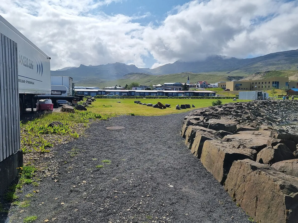
| Grundarfjörður harbour and town side | Easy; no hiking | Wider view of the mountain from the town | Evening strolls and a meal nearby |
Kirkjufellsfoss: the waterfall view and the walk
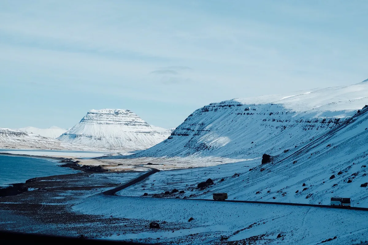
Kirkjufellsfoss is a series of small drops, not one big plunge. A 5-minute path leads from the car park to the bridge above the falls. Expect a strong foreground for photos rather than a thundering cascade. Stay on the marked path near the water, because ice and spray make the edges slippery in winter. Keep the path clear so other visitors can pass while you set up a shot.
Best time to visit Kirkjufell
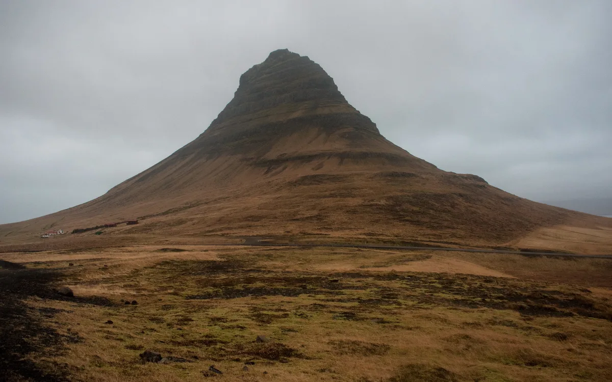
Summer gives light until midnight and the easiest driving. Winter trades daylight for aurora, with wind that can close the road for a few hours. For exact sunrise and sunset times, use a local sun-time source for the date you travel.
| Season | Light | Access and risks | Suits |
|---|---|---|---|
| Summer (June to August) | Daylight until midnight | Easiest driving; no true darkness for aurora | First-timers and long photo sessions |
| Shoulder months | Shorter days; sunrise and sunset light | Check forecast and road conditions before leaving | Flexible travellers |
| Winter | Short days; aurora on clear nights | Wind can close the road for a few hours; ice on the pass near Fróðárheiði | Aurora hunters who can adjust plans |
Kirkjufell weather and climate: temperatures, wind and daylight
Snæfellsnes has a cool, maritime climate. Temperatures stay moderate year-round, but wind and sudden showers matter more than the thermometer. Figures below are typical ranges, not forecasts.
| Period | Typical daytime temperature | Daylight | What to expect at the mountain |
|---|---|---|---|
| June to August | About 8 to 14 °C (46 to 57 °F) | Around 18 to 21 hours near the solstice | Mild, damp air; light rain is common; the midnight sun means no aurora |
| September to October | About 3 to 9 °C (37 to 48 °F) | Falling fast, from about 13 hours to 9 | Dark skies return, so aurora becomes possible; autumn storms start |
| November to March | About -3 to 3 °C (27 to 37 °F) | Roughly 4 to 5 hours around the December solstice | Ice on the path, strong gusts, snow-covered peak; best aurora odds on clear nights |
| April to May | About 1 to 8 °C (34 to 46 °F) | Growing by several minutes a day | Quieter car park, patchy snow, changeable skies |
Wind is the real variable
The mountain stands alone beside the fjord, so gusts arrive with little shelter. Spray from the falls can reach the bridge in strong wind, and a tripod needs weight on it. Layers and a waterproof shell matter in every month, even when the air temperature looks gentle.
Checking before you go
Check the forecast for the Snæfellsnes region on the Icelandic Met Office, paying attention to wind speed and cloud cover rather than temperature alone. For aurora, you want a clear sky and a calm evening, which is why many photographers plan two nights in Grundarfjörður rather than relying on one.
How to get to Kirkjufell
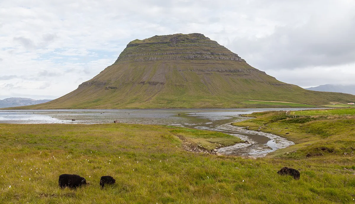
Driving is the realistic option. From Reykjavík it is about 110 miles (180 km), or 2 hours 20 minutes, ending on Route 54. You do not need a 4×4 on this paved road. In winter, Route 54 near Fróðárheiði ices up, so check the Icelandic Road Administration road conditions page and the Icelandic Met Office forecast before you leave. Public transport is thin. Choose between a rental car and a small-group day tour from Reykjavík, which takes about 11 hours.
Costs, parking and access
Parking at Kirkjufell has been listed at 1,000 ISK, although some listings say there is no fee. Prices and hours checked November 2026. Payment method and rules are set locally, so look at signs in the car park or the Snæfellsnes tourism office for the current position.
Safety and the mountain: why not to climb it
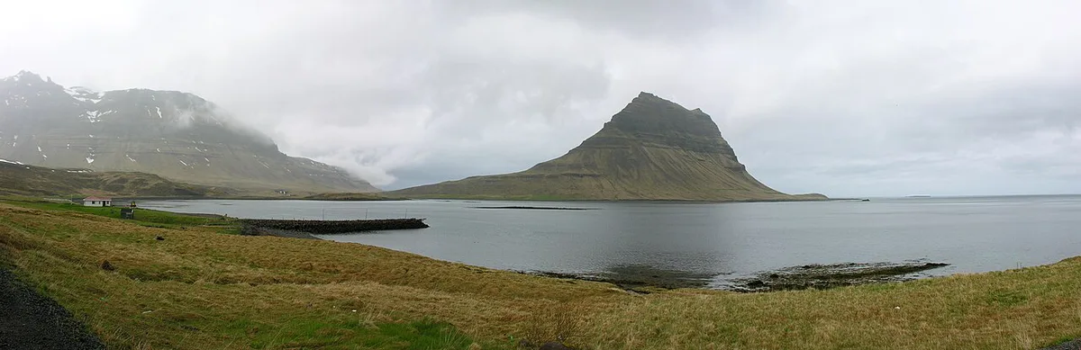
Do not climb Kirkjufell without a guide. The route is steep and exposed, and people have died on it. Photographers can get everything they need from the path and the bridge.
- Climbing the mountain alone or without a guide
- Parking on road verges or blocking the road
- Stepping off the marked path near the falls
- Skipping the road and weather check in winter
- Expecting a big waterfall rather than a series of small drops
How long to stay: one stop or overnight
A day trip from Reykjavík means about 6 hours of driving and 5 or 6 stops. Leave by 7:30 a.m. if you want to see the whole loop. In winter there is not enough daylight for everything, so choose the south shore plus Kirkjufell.
| Option | Time | Trade-off |
|---|---|---|
| Quick stop | About 40 minutes | Bridge photo and a look at the mountain; midday light |
| Photo session | Around sunrise or sunset | Best light, but you plan the rest of the day around it |
| Overnight | One night in Grundarfjörður | Evening light and a chance of aurora; shorter driving day |
Where to stay and eat in Grundarfjörður and nearby
Bjargarsteinn Mathús is listed as a restaurant in Grundarfjörður, so check its current hours. Grundarfjörður puts you beside the mountain. Stykkishólmur is the largest town on the peninsula. For a base on the south shore, try Arnarstapi.
| Base | Fit |
|---|---|
| Grundarfjörður | Closest to Kirkjufell; best for evening and morning light |
| Stykkishólmur | Largest town; harbour viewpoint on Súgandisey island and the Westfjords ferry |
| Arnarstapi | South shore; 2.5 km (1.5 mile) cliff path to Hellnar |
Pairing Kirkjufell with the rest of Snæfellsnes
Driving the loop clockwise from Reykjavík puts Kirkjufell late in the day, which suits evening light. Add stops from the south shore and the national park first. Snæfellsjökull is a 4,744-foot (1,446 m) volcano with a small ice cap, and Snæfellsjökull National Park has free entry. A black pebble cove with shipwreck iron awaits at Djúpalónssandur. For wider context, see Iceland's national parks. A map of all parks is on the national parks map.
Leave by 7:30 a.m. if you plan the full loop, since the stop times for Arnarstapi, Djúpalónssandur and Stykkishólmur add up quickly.
| Stop | Time needed | Notes |
|---|---|---|
| Arnarstapi to Hellnar | 1 hour | Cliff walk past a stone arch |
| Djúpalónssandur | 40 minutes | Black pebble cove with shipwreck iron |
| Saxhóll crater | 20 minutes | Metal steps to the rim |
| Kirkjufell | 40 minutes | Mountain and waterfall |
| Stykkishólmur | 1 hour | Harbour town with an island viewpoint |
For trip-planning details, see Visit Iceland.
Frequently Asked Questions
What does Kirkjufell mean in Icelandic?
Kirkjufell means 'Church Mountain'. Its symmetrical cone shape resembles a church steeple.
How far is Snæfellsnes Peninsula from Reykjavík?
Snæfellsnes is about 2 hours north of Reykjavík by car. Kirkjufell itself is about 2 hours 20 minutes away.
Notes for your next park visit
Optional updates to our national park guides.
Read next

Keep planning
Picked from the same area