
Schrammsteine Hike: Routes, Viewpoint & Planning Guide
Plan your Schrammsteine hike: viewpoint facts, route options from Bad Schandau or Schmilka, steps, safety, timing and day-trip combos.
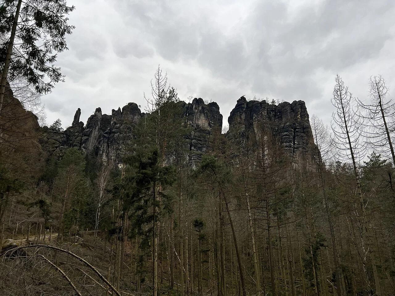
Last updated November 2026: the Schrammsteine are a jagged sandstone ridge east of Bad Schandau, inside the 6 Best Things to Do in Saxon Switzerland National Park (2026 Guide). Their Schrammsteinaussicht viewpoint sits at about 417 m (roughly 1,368 ft), costs nothing and is reachable on foot only. This guide helps you choose between the Bad Schandau loop, the Schmilka stairway and the shorter ridge hike.
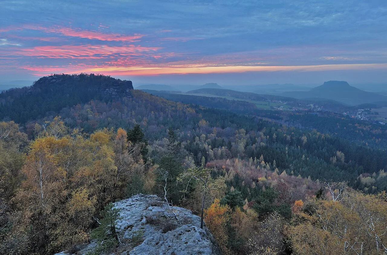
Featured image: Lukas Beck, CC BY 4.0, via Wikimedia Commons.
Schrammsteine at a glance
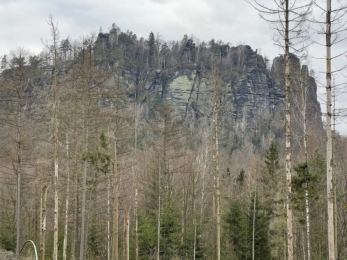
The Schrammsteine form a long, heavily jagged group of rocks in the Elbe Sandstone Mountains. To the north lies the Kirnitzsch valley, to the south the Elbe valley, and to the east the Affensteine. Wikipedia lists the viewpoint at 417.2 m above sea level. The Saxon Switzerland tourism association says the viewpoint is always open and charges no entrance fee (checked November 2026). Access is on foot only, along marked trails such as the Wildschützensteig and the Jägersteig.
- Location: east of Bad Schandau, Saxon Switzerland, Germany
- Viewpoint height: about 417 m (roughly 1,368 ft)
- Cost: free, open all year
- Access: on foot only
- Best for: hikers who want a ridge walk and a wide Elbe valley panorama
Which Schrammsteine route should you choose?
Three official options cover most visits. The Bad Schandau loop runs 13.61 km (about 8.5 miles) via the viewpoint and Breite Kluft. The ridge hike is 7.43 km (about 4.6 miles). A third listed walk runs 11.26 km (about 7 miles) from Rauschenstein to the Schrammsteine. Starting at Schmilka lets you climb the Rotkehlchenstiege straight onto the ridge. Pick by your legs, your start point and your comfort with steps.
| Route | Start | Distance | Steps and exposure | Best for | Skip if |
|---|---|---|---|---|---|
| Bad Schandau loop via Breite Kluft | Bad Schandau | 13.61 km (about 8.5 miles) | Marked trails to the viewpoint; check the trail description for steep sections | First-timers who arrive by train and want the full outing | You only have a short half-day |
| Ridge hike | Check the official route page | 7.43 km (about 4.6 miles) | Ridge terrain with rock sections | Fit hikers who want the ridge itself | You dislike heights |
| Rauschenstein to Schrammsteine | Rauschenstein | 11.26 km (about 7 miles) | Check the route page | Hikers who want a point-to-point walk | You need a loop back to your car |
| Rotkehlchenstiege approach | Near Schmilka | Part of a longer walk | 150 m climb over 286 steps, grade KS1, vertical rock faces | Confident walkers who like stairways | You have young children or a fear of exposure |
The Schrammsteinaussicht viewpoint
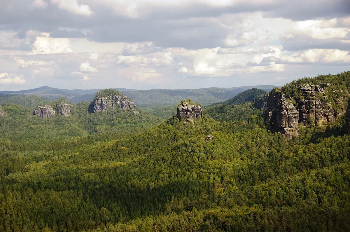
The viewpoint stands above the Vordere Schrammsteine. From here the view reaches across the Elbe valley to the Falkenstein, Lilienstein, the Affensteine and the Winterberg. Three vertical rock cuts, the Schrammtore, split the Vordere Schrammsteine. Wikipedia gives the Falkenstein as 381.2 m and the Hoher Torstein as 425 m. Nearby viewpoints include Breite Kluft and Carola Rock View. The tourism association calls sunset light especially atmospheric, so a late-afternoon arrival pays off if you plan your descent in daylight.
Rotkehlchenstiege and ridge safety
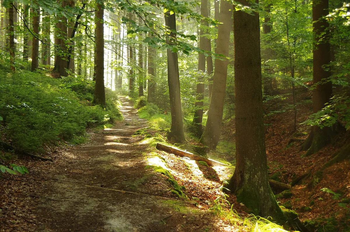
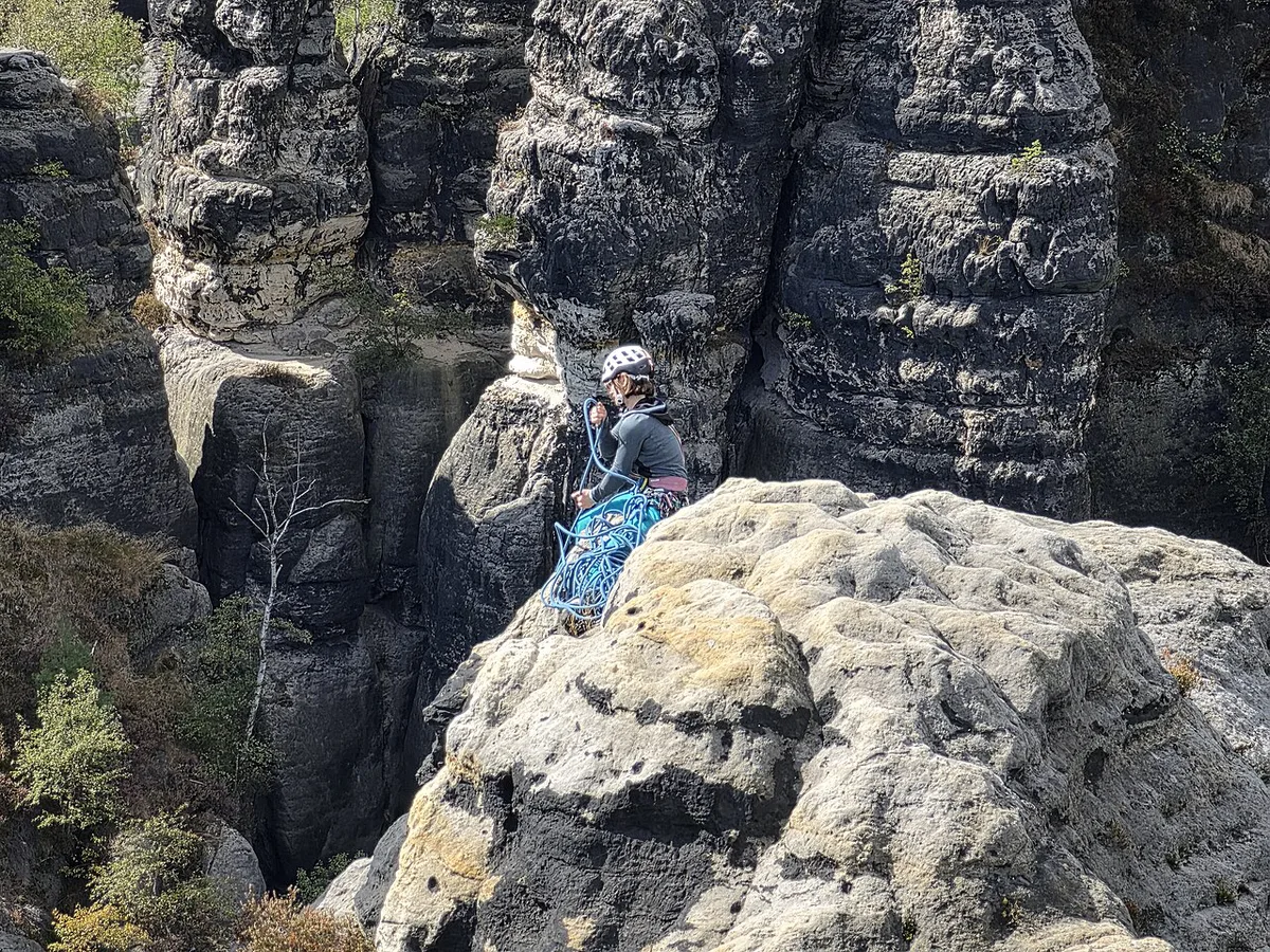
The Rotkehlchenstiege ("Robin Climb") begins at the northern end of the Falkoniergrund near Schmilka. It climbs 150 m over 286 steps and is graded KS1, an easy klettersteig. It still has several vertical rock faces, so treat it as a stairway with real exposure. Wet or icy rock makes every step slower. The tourism association links a "Current restrictions" page, and trail closures are worth checking there before you leave. The national park authority publishes the park rules for hikers and climbers.
- Wear shoes with real tread, not trainers with smooth soles.
- Start early so you descend in daylight.
- Count on 286 steps if you choose the Rotkehlchenstiege.
- Carry your own water and food, because the ridge itself is not a place to count on services.
- Look up current restrictions before you commit to a route.
Getting to the Schrammsteine from Bad Schandau
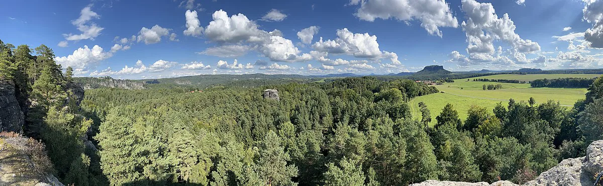
Bad Schandau is the practical base. Take the S1 S-Bahn to Bad Schandau, then walk the marked trails toward the viewpoint. The 13.61 km loop starts and ends in town. The official listing gives the viewpoint address as Gratweg, 01814 Bad Schandau. Schmilka sits at the other end of the Hintere Schrammsteine, so the Rotkehlchenstiege suits a start there. Check the current timetable and parking rules with the regional operator before you go. Our Saxon Switzerland Map: Where Everything Is and Which Map to Use helps you orient yourself, and Bad Schandau Travel Guide: Base, Spa & Hikes has the town details. Staff at TouristService Bad Schandau, Markt 1-11, can answer route questions.
When to go and how long to allow
The viewpoint is open year round, and the tourism association shows snow-covered rocks at sunrise on its page. Winter brings beautiful light but icy steps, so check conditions before you go. Weekends are the likeliest time for crowds, since Wikipedia calls the Schrammsteine a much-frequented destination. A start before mid-morning gives you quieter trails and room to finish in daylight. For duration, a 7.43 km ridge walk and a 13.61 km loop differ by hours, so check locally for current time estimates and add stops for the viewpoints.
Combine the Schrammsteine with other Saxon Switzerland stops
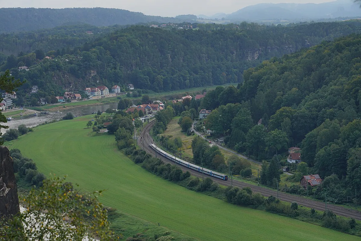
Pair the Schrammsteine with Bad Schandau for a full hiking day. Add a late lunch in town if your legs still work. Bastei Bridge Guide: How to Get There, Hours and Best Time is the easier, more famous alternative if you only want a short walk with a classic view. Kurort Rathen Guide: Bastei Access, Ferry & Costs and the Felsenbühne Rathen belong to a different day. Königstein Fortress also deserves its own half-day, and the official fortress site lists current hours. Squeezing the 13.61 km loop plus Bastei or the fortress into one day is too much for most visitors.
- Short on time: choose Bastei Bridge over the Schrammsteine.
- Full hiking day: take the Bad Schandau loop and finish in town.
- Two days: Schrammsteine first, then Bastei and Rathen.
Where to stay
Bad Schandau works best if you want to start on foot or arrive by S-Bahn. Staying in town also puts the Bad Schandau tourism office and the trails within reach. Choose Schmilka only if the Rotkehlchenstiege is your priority. Rathen suits a Bastei-focused trip better. Rates change by season, so compare listings for your dates.
Bad Schandau suits the 13.61 km loop from town, while a Schmilka base puts you near the start of the 286 steps.
Mistakes to avoid at the Schrammsteine
A few planning errors cause most of the trouble on this ridge.
- Wearing smooth-soled shoes on wet sandstone.
- Starting late and descending in the dark.
- Underestimating 286 steps on the Rotkehlchenstiege.
- Expecting food or water on the ridge.
- Skipping the current restrictions page.
Notes for your next park visit
Optional updates to our national park guides.
Read next

Keep planning
Picked from the same area