
Lilienstein Hike Guide: Routes, Views and How to Get There
Plan a Lilienstein hike in Saxon Switzerland: ascent routes, how to get there, the views, and how it compares with Bastei and Königstein.
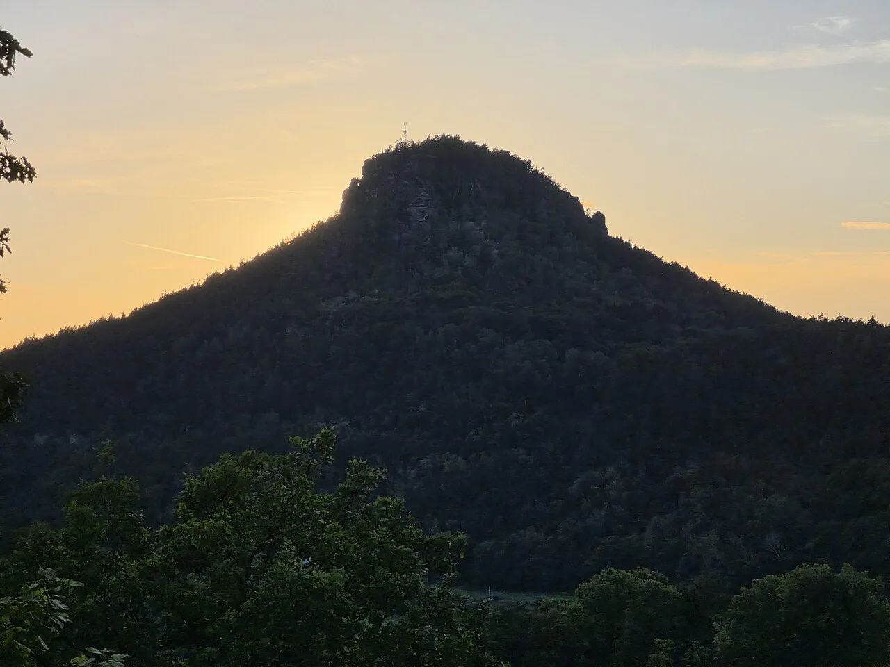
Last updated November 2026. The lilienstein is a table mountain on the Elbe, directly opposite Königstein, and one of the best short hikes in the Vordere Sächsische Schweiz. You climb for the summit viewpoint over the river and the surrounding sandstone landscape of 6 Best Things to Do in Saxon Switzerland National Park (2026 Guide). It suits anyone with sturdy shoes and a free half day.
Featured image: NutzerAusBerlin, CC0, via Wikimedia Commons.
Lilienstein at a glance
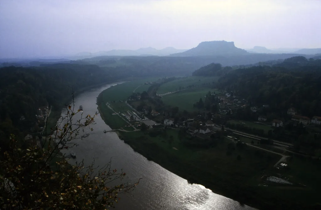
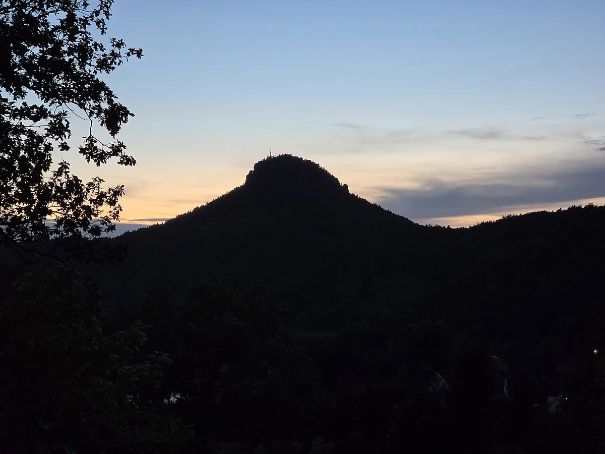
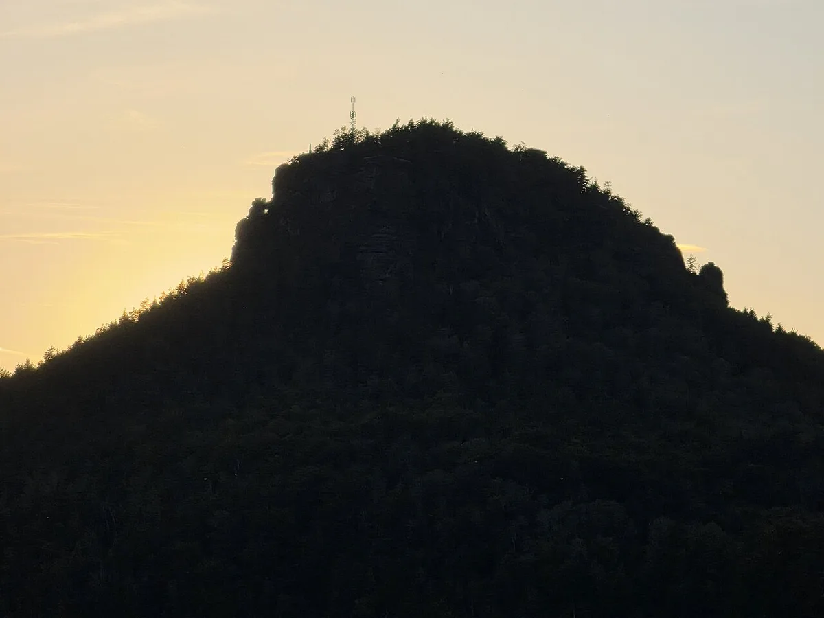
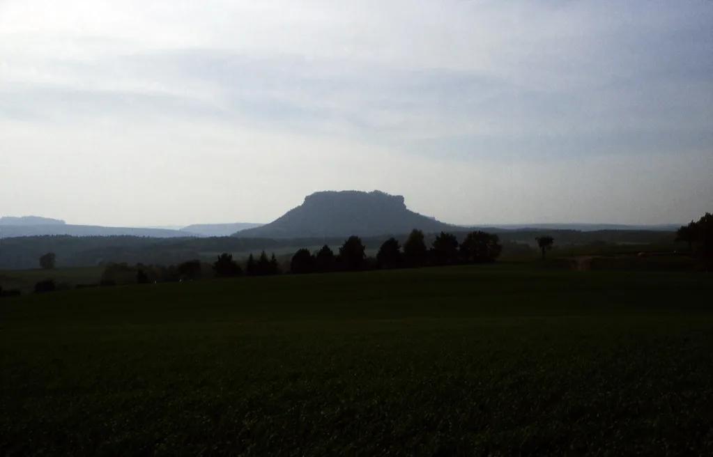
Lilienstein rises as a flat-topped sandstone massif beside the Elbe, facing Königstein across the river. Hikers climb it to stand on the plateau and look out over the valley. It is a viewpoint hike, not a walk with attractions along the way.
- Type: table mountain on the Elbe, opposite Königstein
- Payoff: summit viewpoint over the Elbe and the sandstone landscape
- Best for: confident walkers in proper footwear
- Rail access: S1 to Bad Schandau-Ebenheit or Königstein
- Rules and closures: posted by the national park authority, worth reading before you set out
Ascent routes compared
The north ascent, known as the Nordaufstieg, is the route hikers most often film and describe. Other ascents exist, but their exact start points and lengths should be checked against the park's own trail information. Use the table to decide which kind of approach you want.
| Route | Start point | Character | Best for |
|---|---|---|---|
| Nordaufstieg (north ascent) | Shown on the official trail map | Established hiking ascent to the plateau | First-time visitors wanting a clear route |
| Other ascents | Via Ebenheit or Königstein, per the park's trail information | Route character varies; steps and rock are likely | Walkers building a loop or returning a different way |
| Climbing routes | Cliff bases, per local climbing rules | Technical rock climbing | Experienced climbers only, following park climbing rules |
Getting there and where to start
Without a car, take the S1 to Bad Schandau-Ebenheit or to Königstein. Both stops put you near the foot of the mountain. Services and engineering works change, and the regional operator posts the current timetable. Bad Schandau is a practical base for hotels and restaurants, and our Bad Schandau guide covers the town. The Saxon Switzerland Map: Where Everything Is and Which Map to Use helps you place the start points. For town information, see the Bad Schandau tourism page.
What you see from the top
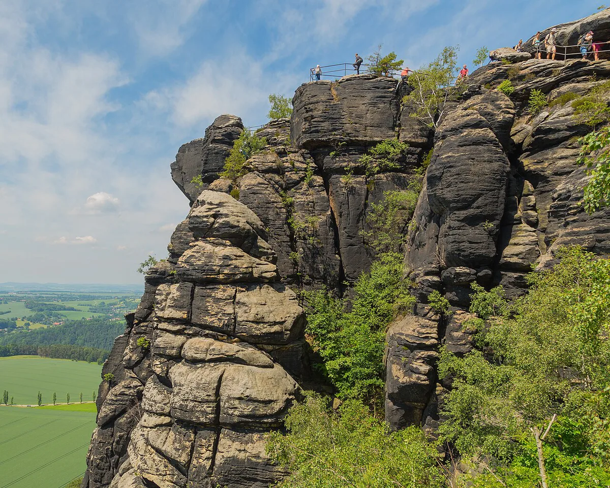
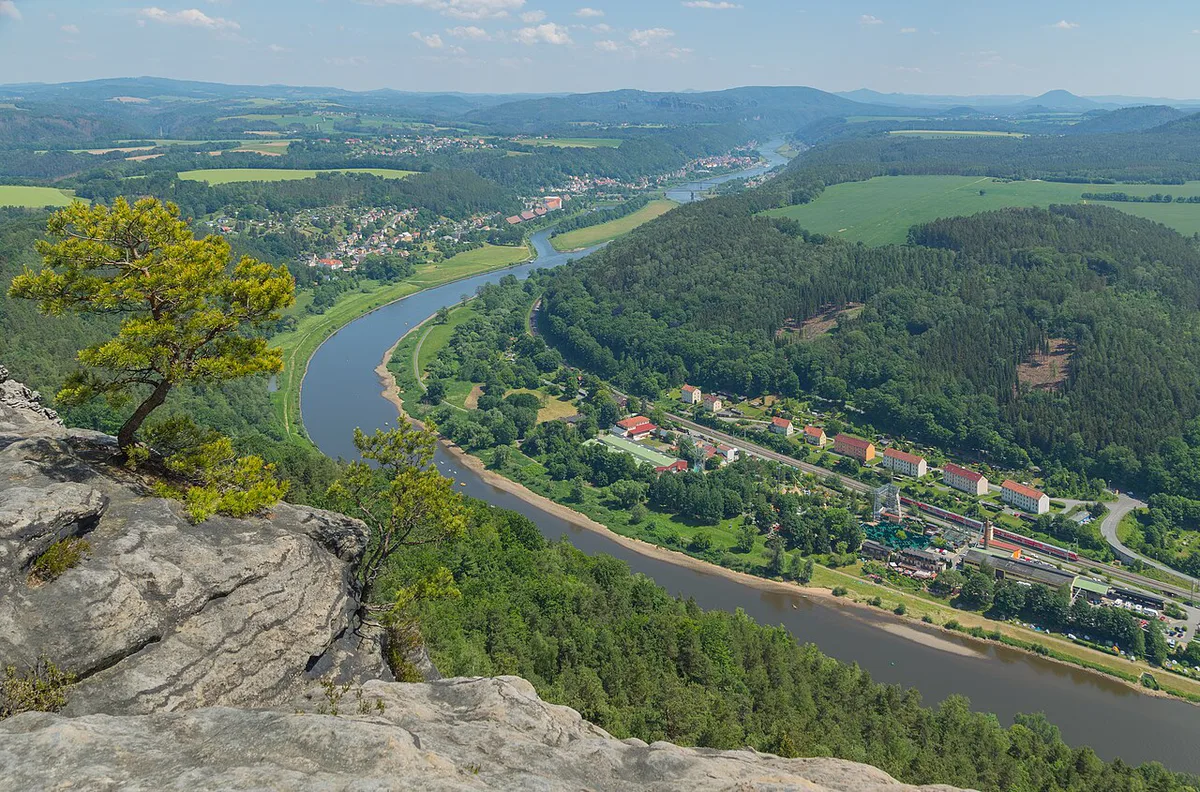
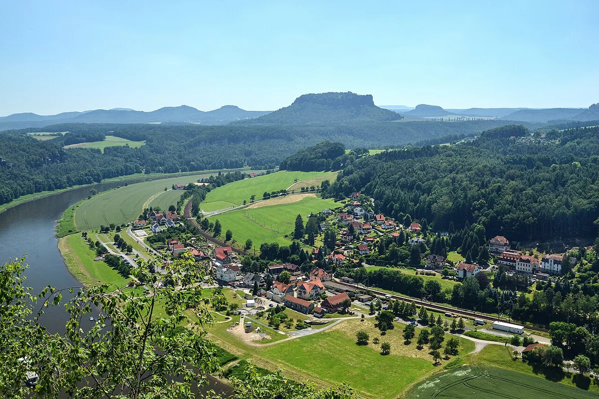
From the plateau you look across the Elbe valley toward Königstein, the town it faces. The view includes the river and the surrounding sandstone country. Which parts of Königstein Fortress are visible depends on where you stand on the summit, so walk the viewpoints before choosing your photo spot. Clear mornings and late afternoons are good times to look. Haze or low cloud can flatten the view.
Costs, facilities and opening status
Treat any summit food, toilets or seasonal hours as unconfirmed until you check. The national park authority publishes rules, trail information and closures. The regional tourism site lists seasonal details. Carry water and food, and do not plan around a café being open.
Best time and conditions
Dry days give the safest footing on sandstone steps and rock. Wet or icy conditions make the same route slower and riskier. Autumn is attractive for colour, but daylight is shorter in November, so start early and leave margin to descend before dark. Wear shoes with grip, and skip the climb in storms or heavy rain.
Lilienstein vs. Bastei, Schrammsteine and Königstein
Choose Lilienstein if you want a hill-style viewpoint hike with a panorama of the Elbe. Skip it if your group includes very young children, limited mobility, or unsuitable footwear. The table gives a quick comparison by type of visit.
| Place | Type of visit | Choose it if |
|---|---|---|
| Lilienstein | Summit hike and viewpoint | You want a half-day climb with Elbe views |
| Bastei | Famous rock viewpoint and bridge | You want the best-known sandstone scenery |
| Schrammsteine | Rock ridge hiking | You want a longer, more demanding walk |
| Königstein Fortress | Historic fortress visit | You want history and a fortress tour |
Sample half-day plans
These are loose outlines, not timed schedules. Allow your own pace and the season's daylight.
- Rail-and-hike: take the S1 to Bad Schandau-Ebenheit or Königstein, climb the mountain, then return to the same stop.
- Valley pairing: combine the hike with a visit to Kurort Rathen Guide: Bastei Access, Ferry & Costs on another day, since both are viewpoint-led outings.
- Fortress day: climb in the morning, then see Königstein Fortress from its own side of the river. Check the fortress site for opening details.
Mistakes to avoid
Skip sandals and smooth-soled sneakers on rock steps. Do not start late in the day without a daylight margin. Do not assume summit facilities are open off-season. Reroute if the forecast shows rain or ice.
Choosing Your Rail Start Point
The S1 gives two practical rail options for a Lilienstein hike: Bad Schandau-Ebenheit and Königstein. Choose your stop before leaving home, then check the current regional timetable for service changes or engineering work.
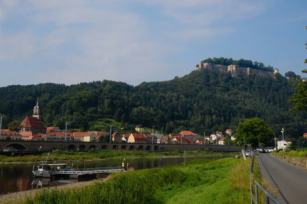
Bad Schandau-Ebenheit works well if you are staying in Bad Schandau or using it as a base for Saxon Switzerland. Königstein is the more natural choice if you also plan to visit Königstein Fortress from its side of the Elbe.
Both options need a walking approach and a proper route check before the ascent. Download an official trail map while you have signal. Carry enough water and food for the outing, as summit facilities may not be available. Allow extra time for the descent, especially when rock steps are wet or daylight is short.
Notes for your next park visit
Optional updates to our national park guides.
Read next

Keep planning
Picked from the same area