
Saxon Switzerland Map: Where Everything Is and Which Map to Use
See how Saxon Switzerland is laid out, which map suits hiking, transit or planning, and how Bastei, Königstein and Bad Schandau connect.
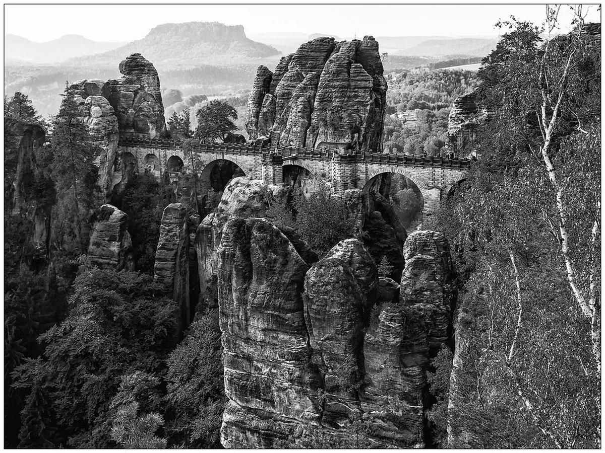
Last updated November 2026: a Saxon Switzerland map is easiest to read as one Elbe valley with three zones around it. Those zones are the Bastei and Rathen side, the Königstein, Lilienstein and Bad Schandau side, and the Schrammsteine and Hinterhermsdorf side. Below you will find which map suits which job, how far apart the sights really are, and how the national park continues into Czechia.
Featured image: unukorno, CC BY 2.0, via Flickr.
Saxon Switzerland map: how the region is laid out
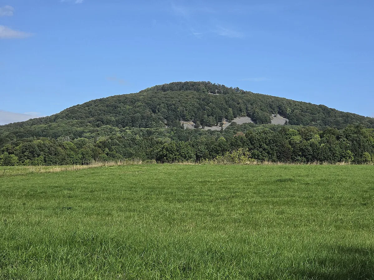
The Elbe is the spine of the region. The Elbe Sandstone Mountains cover roughly 700 km² on both sides of the border, while the German national park itself covers 93.5 km² and dates from 1990. Do not confuse the two figures when you compare maps. Locals split the German side into Vordere (front) and Hintere (rear) Sächsische Schweiz. Pirna is the usual gateway from Dresden, and Bad Schandau is the main base once you are inside the park.
| Zone | Anchor sights | Base town |
|---|---|---|
| Bastei and Rathen side | Bastei Bridge, Neurathen rock castle, Felsenbühne Rathen | Kurort Rathen |
| Königstein side | Königstein Fortress, Lilienstein | Königstein |
| Elbe valley hub | Hiking boat, Kirnitzschtalbahn tram, national park station | Bad Schandau |
| Hintere Sächsische Schweiz | Schrammsteine, Hinterhermsdorf | Bad Schandau |
| Border and Bohemian side | Pravčická brána, Kamenice valley, Hřensko | Hřensko or Krásná Lípa |
Which map do you need?
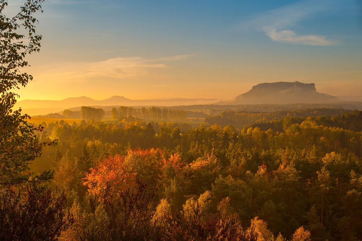
No single map does every job here. A road or overview map shows towns and the S-Bahn line, but it hides the stairs, ladders and gorges that decide your pace. For walking, you want a proper hiking map. The region has a trail network of more than 1,200 km, including the 116 km Malerweg. The regional tourism board lists routes by destination, difficulty and duration. A 3D terrain model also exists, based on Copernicus 30 m elevation data and OpenStreetMap. Treat it as a display or printing piece, never as a navigation tool.
| Map type | Best for | Limits | Skip it if |
|---|---|---|---|
| Overview or road map | Choosing a base, seeing Pirna, Königstein and Bad Schandau in one frame | Shows no trail steepness or closures | You plan to hike |
| Printed hiking map | Day routes and the Malerweg stages | Needs trail-sign literacy; can be out of date | You only want sights near a station |
| Offline phone map or GPS app | Live position in forest and gorges | Battery drain; OpenStreetMap trails vary in quality | You will not carry a power bank |
| Park and tourism board maps | Official trails, transport nodes and viewpoints | Overview scale only | You need climbing detail |
| 3D terrain model | Understanding relief before you go | Not for navigation | You want a route |
Key landmarks and how far apart they are on the ground
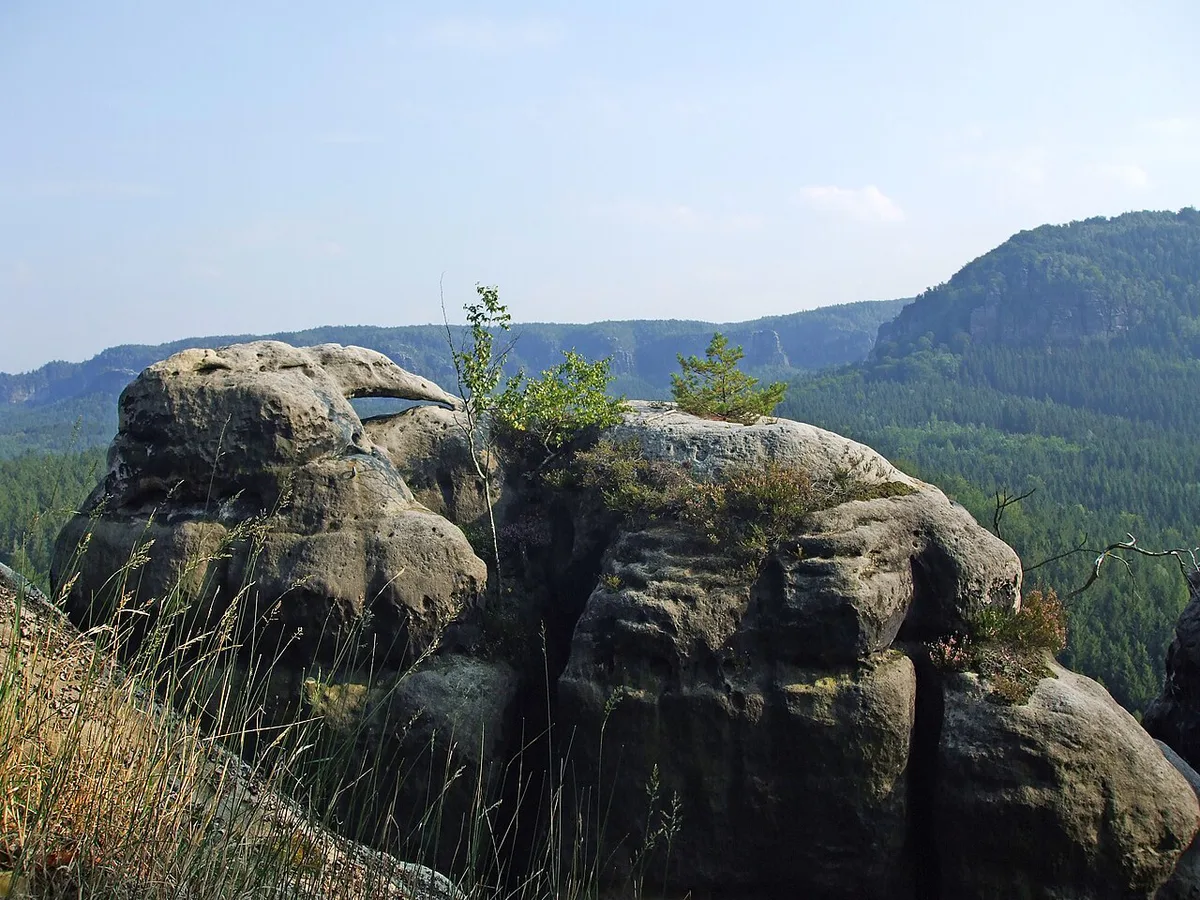
Map distance misleads in this sandstone landscape. A short line across the Elbe can mean a descent, a ferry or train, and a climb. Bastei Bridge dates from 1851 and is 76 m long. It is listed as a technical monument and sits on the Bastei plateau above Rathen. The Brand viewpoint, called the balcony of Saxon Switzerland, is reached by a staircase of 970 steps. Judge effort by stairs and ladders, not by kilometres. The table below gives each sight's zone, nearest transport node and a plain-language caution.
| Sight | Zone and transport node | Map caution | Who should skip it |
|---|---|---|---|
| Bastei Bridge Guide: How to Get There, Hours and Best Time | Bastei side; Rathen station is reached by suburban train | Looks close to Rathen but involves a climb; busiest at midday | Anyone avoiding crowds or stairs |
| Kurort Rathen Guide: Bastei Access, Ferry & Costs | Bastei side; suburban train | Starting point for the Amselsee and Schwedenlöcher route | Visitors wanting a flat-only day |
| Königstein Fortress | Königstein side; bus interchange at Reißiger Platz | Sits well above town, so allow time for the ascent | Those short on energy or time |
| Lilienstein | Königstein side; reached on foot from Königstein | Looks like a short detour; the climb is demanding | Visitors with limited stamina |
| Bad Schandau Travel Guide: Base, Spa & Hikes | Elbe hub; S-Bahn, tram, boat | Everything radiates from here, but sights are not walkable together | Nobody; use it as a base |
| Schrammsteine | Hintere zone; reached via Bad Schandau | Exposed ridgeline with steep sections | Hikers uneasy with heights |
Getting around with a map: transport nodes
Car-free travel works well because the transport nodes are marked clearly. The S1 S-Bahn runs along the Elbe and links Dresden, Pirna and Bad Schandau. Pirna is about 20 minutes from Dresden main station. Per the regional tourism board, the S1 runs hourly between Schöna and Bad Schandau and half-hourly between Bad Schandau and Pirna. Check the current timetable, because frequencies change.
- Kirnitzschtalbahn: a tram from Bad Schandau into the forest, half-hourly in summer and every 70 minutes in winter.
- Hiking boat: leaves Bad Schandau four times daily over a 10 km stretch, stopping at Krippen/Postelwitz, Schmilka and Hřensko.
- Wanderbus: hiking buses run on routes marked with that name, with interchanges at Pirna ZOB, Königstein Reißiger Platz and Bad Schandau.
- Gästekarte mobil: free regional public transport, available in 13 districts through your accommodation.
Sample routes by map: half day, full day, two days
Pick a plan by access and effort, not by how many pins you can fit on the map. The Bad Schandau tourism page is a good starting point for local trail ideas. Each plan below carries a trade-off.
Winter changes the car-free plan: the Kirnitzschtalbahn tram runs every 70 minutes in winter, so build slack around the boat and tram times.
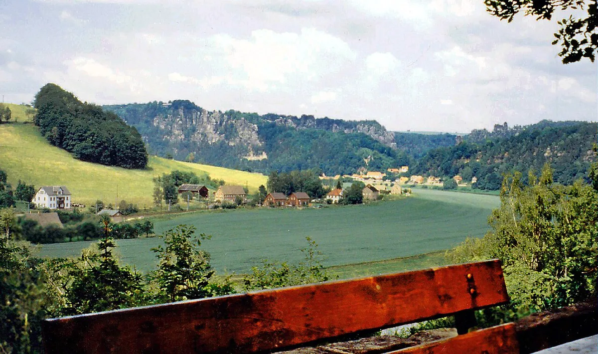
- Half day, Rathen: take the suburban train to Rathen and walk the Amselsee and Schwedenlöcher route to the Bastei plateau. Trade-off: scenic, but crowded at midday. Skip it if you dislike stairs.
- Full day, Königstein: combine the fortress and Lilienstein. Trade-off: two big ascents leave little slack. Skip it if you want a relaxed pace.
- Car-free two days from Bad Schandau: day one on the boat and tram, day two on the Schrammsteine. Trade-off: timetables set your pace. Skip it if you dislike fixed departures.
Crossing into Bohemian Switzerland
Saxon and Bohemian Switzerland are one landscape divided by a border. Pravčická brána, a natural rock arch, lies just across the line. The Kamenice valley and the ruined mill at Dolský Mlýn are nearby, and you can explore the gorge on foot. The national park train line U 28 links the two sides from Děčín via Bad Schandau to Rumburk. Bring your passport or ID, and check trail access with the national park authority before you cross.
Map-reading mistakes and safety
Most errors come from overestimating distance and underestimating terrain. Trails here include steep stairs and ladders, so a short route can take much longer than the map implies. Closures happen, so check the official park page before setting out. Daylight shrinks quickly in autumn and winter, which matters on the Schrammsteine. Carry a paper map or an offline map as backup, since phone signal drops in gorges. Learn the local marker conventions from an official source before you rely on them.
Frequently Asked Questions
Is Saxon Switzerland National Park worth visiting?
Yes, if you like sandstone rock formations, viewpoints and marked hiking. Pirna is about 20 minutes from Dresden main station, so a day trip is realistic. Longer stays suit the Malerweg and Bad Schandau-based plans.
What to do in Saxon Switzerland?
Hike to the Bastei plateau from Rathen and visit Königstein Fortress. You can also ride the Kirnitzschtalbahn tram, take the hiking boat from Bad Schandau, or cross into Bohemian Switzerland.
Notes for your next park visit
Optional updates to our national park guides.
Read next
Keep planning
Picked from the same area