Peak District Weather: Seasons, Forecasts and What to Pack
Peak District weather by season, which forecast to trust on the moors, how wind chill changes plans, and wet-day alternatives.
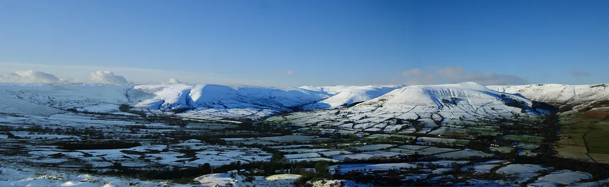
Last updated November 2026. Peak District weather changes fast, and it differs sharply between valley villages and the high moors across the 7 Best Things to Do in Peak District National Park. Check the hill-top forecast before any walk, because a town forecast will not describe the tops. Below you will find which forecast to use, how each season behaves, and what to do when the weather turns.
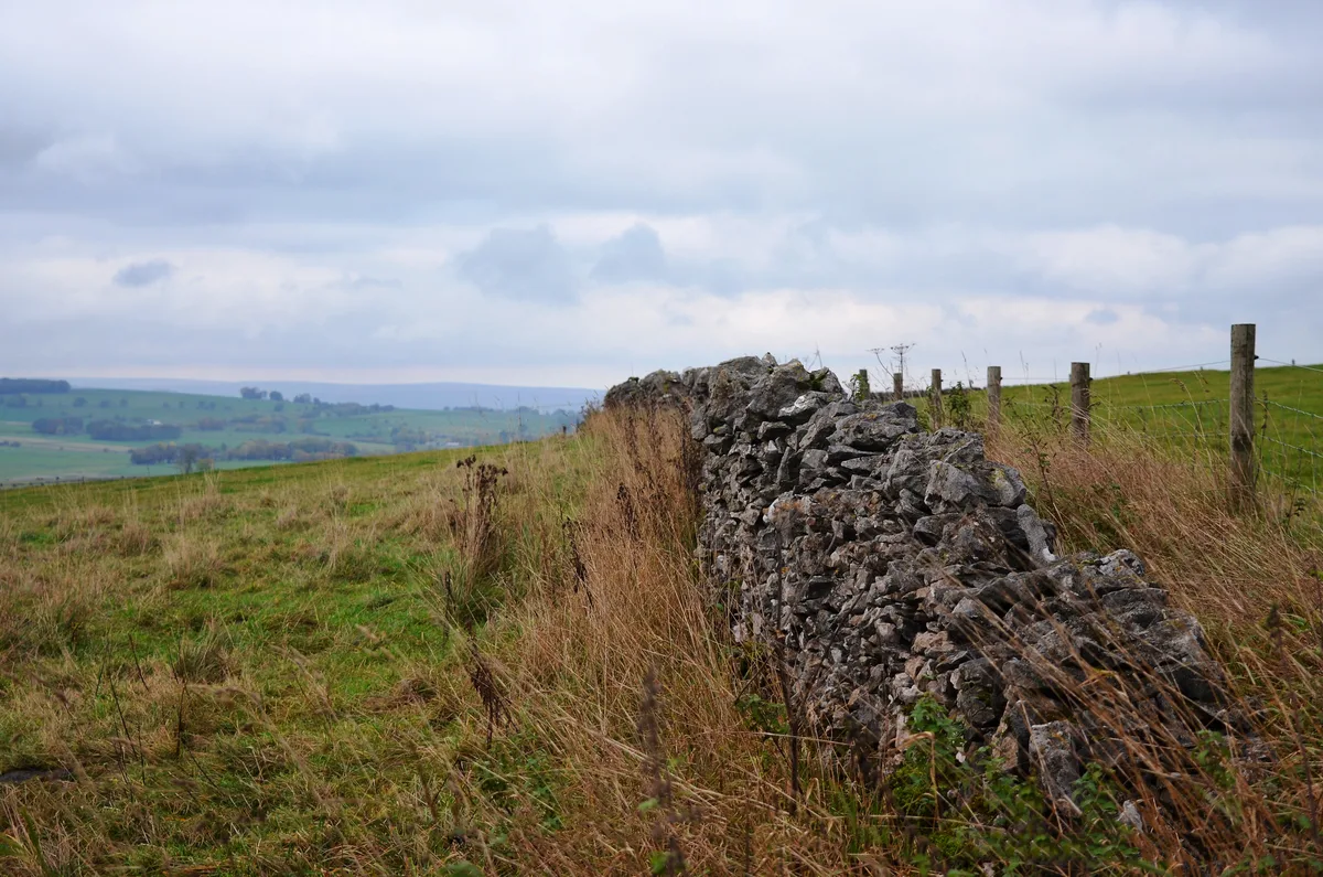
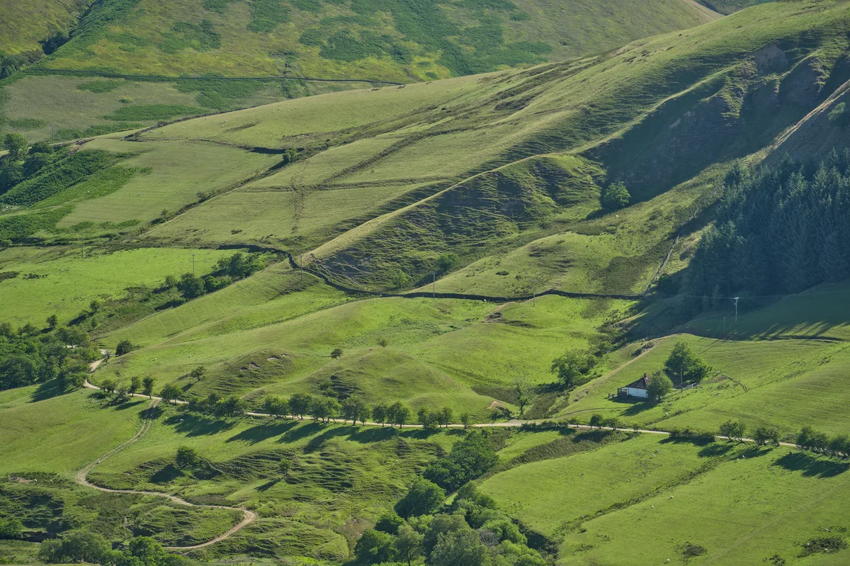
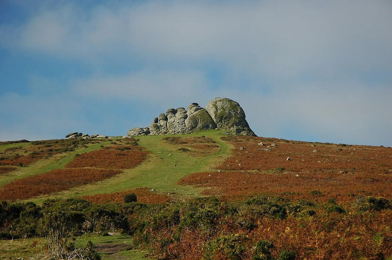
Featured image: sidibousaid60, CC BY 2.0, via Flickr.
Peak District weather at a glance
Upland moors such as Kinder Scout and Bleaklow are colder, wetter and windier than valley towns like Bakewell and Matlock. Hazards on the Met Office mountain forecast apply at or above 300m, because conditions there can be far more severe. MWIS describes air temperature on higher summits as typically 0 to 5°C (32 to 41°F) in its winter-sunshine example. Valley temperatures in its forecasts run higher, around 6°C (43°F) on the same kind of day.
A dry, sunny valley morning can still mean cloud, gusts and sleet on the tops. Allow for that gap in every plan. Conditions can also change within a few hours, so look again before you set off.
Which forecast to check
Different forecasts answer different questions. The Met Office mountain forecast splits conditions into 600m, 300m and valley levels. It also gives a freezing level and a feels-like temperature for each level. A town forecast for Castleton or Bakewell describes the village, not the ridge above it.
MWIS covers the whole national park and the hills reached from Hebden Bridge. It defines light wind as 10-15mph or less. Use the table to choose.
| Forecast | Best for | Altitude covered | When to check |
|---|---|---|---|
| Met Office town forecast | Village stops, cafes, driving | Valley level | The evening before and the morning of your trip |
| Met Office mountain forecast | Walking on the moors and edges | 600m, 300m and valley | Morning of a hill day, and again before the tops |
| MWIS Peak District forecast | Summit wind, cloud and wind chill | Summits and valleys | Day before, then the morning of the walk |
| Weather warnings | Storms, snow, ice | Region-wide | Before travelling and before you commit to a route |
| Webcams | A current look at cloud and visibility | Camera location only | Just before leaving the car park |
Peak District weather by season
Use the table as a planning guide, not a forecast. It is qualitative on purpose. For averages, use the Met Office climate pages for nearby stations. Always read the live forecast closer to your date, because forecasts are more certain closer to the day.
Season affects cost as well as comfort. As a budgeting example only, a mid-range double room near Bakewell might run about £90 a night in February against £150 or more in July. Treat those figures as a planning assumption, not a quote. Rates move with school holidays and events, so compare live prices when you book.
| Season | Typical feel | Main hazard | Best activity | Rain-day alternative | What to pack |
|---|---|---|---|---|---|
| Winter | Cold, short days, frozen ground | Ice, wind chill, early dark | Low-level walks on clear days | Cave visit or Chatsworth | Insulated layers, gloves, headtorch |
| Spring | Changeable, fresh, mixed showers | Sudden cold snaps on the tops | Edge walks and village strolls | Bakewell cafes and shops | Waterproofs, a warm mid-layer |
| Summer | Mildest, but moors still breezy | Fast-building showers, exposed sun | Long moorland routes and camping | Peak Cavern or Speedwell | Waterproof, sun hat, extra water |
| Autumn | Cool, damp, shortening days | Low cloud, fog, early dusk | Colour walks in the valleys | Castleton caves and pubs | Boots, layers, map and compass |
- Winter: plan around daylight and the freezing level.
- Spring: carry a waterproof even when the valley looks dry.
- Summer: start early and check afternoon shower chances.
- Autumn: expect fog and low cloud on the gritstone.
Wind chill, visibility and the high moors
Feels-like temperature matters more than air temperature. The Met Office lists Severe Chill Effect as a mountain hazard, warning that wind enhances cold, especially in rain or wet snow. In a late-November MWIS example, the 600m air temperature was 2°C (36°F). It would feel as cold as -5°C (23°F) directly in the wind, with easterly gusts of 25 to 35mph.
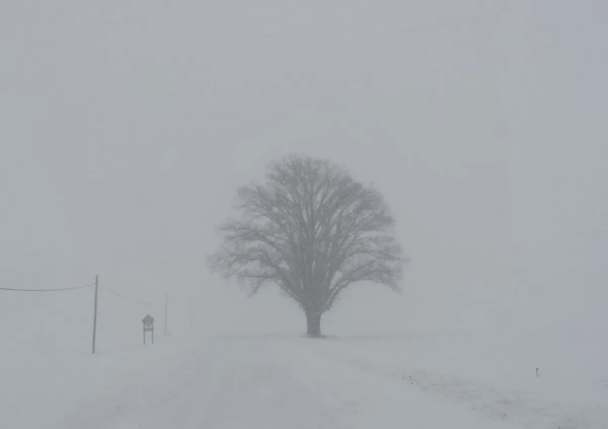
Visibility is the second decision factor. On open gritstone moorland, cloud can turn good visibility into very poor within minutes. Carry a paper map and compass, and carry offline navigation as backup. Use the Peak District Map: Areas, Which Map to Use & Getting Around to orient yourself before you go. Ordnance Survey Explorer maps cover the area in detail.
Use this go, adjust or stop checklist on hill days.
- Go: light wind of 10-15mph or less, good visibility, daylight to spare.
- Adjust: stronger gusts or marked wind chill. Pick a sheltered route or a lower edge.
- Adjust: freezing level near the summits. Add layers and spikes if ice is likely.
- Turn back: cloud closing in with poor navigation confidence.
- Turn back: daylight running short or a member of the group struggling.
Daylight and cold-weather planning
Winter walking days are short. On 21 November 2026 the Met Office listed sunrise at 07:45 and sunset at 16:02. That leaves roughly eight hours of usable light, so start early and pick a route you can finish by mid-afternoon.
On a late-November hill day, sunset at 16:02 leaves little slack, and the wind chill up top makes a late finish harder.
Frozen ground and ice on paths are common in cold spells. Wintry showers can fall over high ground while the valleys stay dry. For road or public transport disruption, use live traffic and operator sources, not an article. Quieter trails and early starts are the trade-off for shorter days.
Rainy-day and bad-weather alternatives
When cloud or rain closes in, switch to sheltered options around Castleton. Three show caves sit near the village. Use Blue John Cavern: Tickets, Tour, Steps and How to Visit, Peak Cavern Castleton: Tour and Visitor Guide or Speedwell Cavern Castleton: Tickets, Boat Tour and Tips. Check each venue's own site for current hours and tickets.
For a house day, Chatsworth House Visitor Guide: Plan Your Visit suits a wet afternoon. The Chatsworth official site lists opening details. In Bakewell you can shelter in cafes and shops. Visit Castleton for pubs and small shops between caves. For more ideas by weather, see things to do in the Peak District.
- If rain is steady and the tops are in cloud, choose a cave or house.
- If it is dry but windy, choose a valley village walk.
- If fog sits low, stay in a village and browse shops.
- If ice is likely, choose a lower route with good footing.
What to pack for Peak District weather
Pack for the tops, not the car park. Layers matter more than one heavy coat. Always carry a waterproof shell, a warm mid-layer, gloves and a hat from autumn to spring. Boots with grip help on wet gritstone and frozen paths.
In winter add a headtorch and a spare layer, because the light fades by about 16:00. In summer bring a sun hat and extra water. Year round, carry a map and compass, and a power bank for your phone.
Where to stay: weather, camping, hotels and tours
Weather shapes where you sleep. For comfort in cold or wet spells, browse hotels in the Peak District. Rates rise in summer, as the £90 against £150 planning example above shows.
For tents, read Peak District Camping: Campsites, Wild Camping Rules and Bases with wind exposure and cold nights as your key criteria. Pitch in a sheltered spot where you can. If conditions look marginal, guided tours add local judgement. Villages are good bases when the tops are closed to you, and Peak District Villages: Best Ones to Visit and How to Choose lists options.
Common mistakes in Peak District weather planning
Most weather problems come from a handful of repeat errors. Avoid these.
- Relying on the valley forecast for the tops.
- Ignoring wind chill when the air temperature looks mild.
- Starting late in winter, when sunset is near 16:00.
- Depending only on phone signal or battery for navigation.
- Skipping the live check at the car park.
How to read a hill forecast before you set out
Read more than the rain symbol before committing to a moorland route. The chance of precipitation tells you how likely rain is at a particular time and place. Check the expected amount too, because a likely light shower needs a different plan from persistent rain.
Compare sustained wind with gusts. Gusts can make exposed edges uncomfortable even when the average wind looks manageable. MWIS defines light wind as 10–15mph or less, so treat stronger conditions as a prompt to consider a lower, sheltered route.
Use the Met Office mountain levels to match the forecast to your route. Conditions at 600m can differ greatly from those at 300m or in a valley village. Check the freezing level, feels-like temperature and visibility together. A forecast confidence label also matters, particularly when fog or low cloud could affect navigation. Recheck close to departure, as forecasts become more reliable nearer the day.
Frequently Asked Questions
What is the climate like in the Peak District?
Expect changeable conditions, with cooler, wetter and windier weather on the high moors than in valley towns. For seasonal averages, use the Met Office climate pages for nearby stations.
How often does it snow in the Peak District?
Snow is most likely over high ground in cold spells, and wintry showers can fall on the tops while valleys stay dry. Check the mountain forecast for the freezing level on the day.
What is the long-term weather forecast for Peak District National Park?
Long-range forecasts carry low confidence. Forecasts are more certain closer to the date, so recheck the Met Office or MWIS a day or two before you go.
Notes for your next park visit
Optional updates to our national park guides.
Read next
Keep planning
Picked from the same area