Peak District Map: Areas, Which Map to Use & Getting Around
Where the Peak District is, how its areas divide, and which map to use for planning, driving and walking, with train and road access tips.
Last updated November 2026: this peak district map guide shows where the park sits, how its areas divide, and which map suits each job. Use an overview map to plan, and an OS map once you climb onto the moors. Our Peak District National Park guide covers the wider picture.
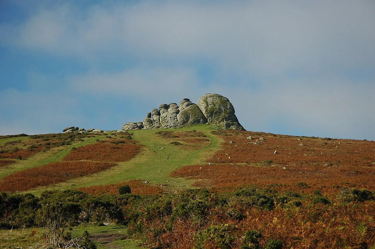
Featured image: Jorge Franganillo, CC BY 4.0, via Wikimedia Commons.
Peak District Map: Where Is It and What's in the Park?
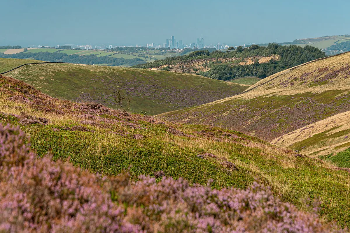
Central-northern England holds the Peak District, at the southern end of the Pennines. Most of it sits in Derbyshire, between Manchester to the west and Sheffield to the east. Peak District National Park covers 555 square miles (1,440 km²) and was designated on 17 April 1951. Boundaries were drawn to exclude built-up areas, so the informal Peak District region is wider and less defined than the park. Buxton shows the difference: the park surrounds it on three sides, yet the town sits outside. Bakewell is the park's only town and hosts the National Park Authority offices. For planning, pick a tourist map; for the hills, buy an OS Explorer sheet from Ordnance Survey.
- Derbyshire
- Staffordshire
- Cheshire
- Greater Manchester
- South Yorkshire
- West Yorkshire
Dark Peak, White Peak and South West Peak: What the Map Colours Mean
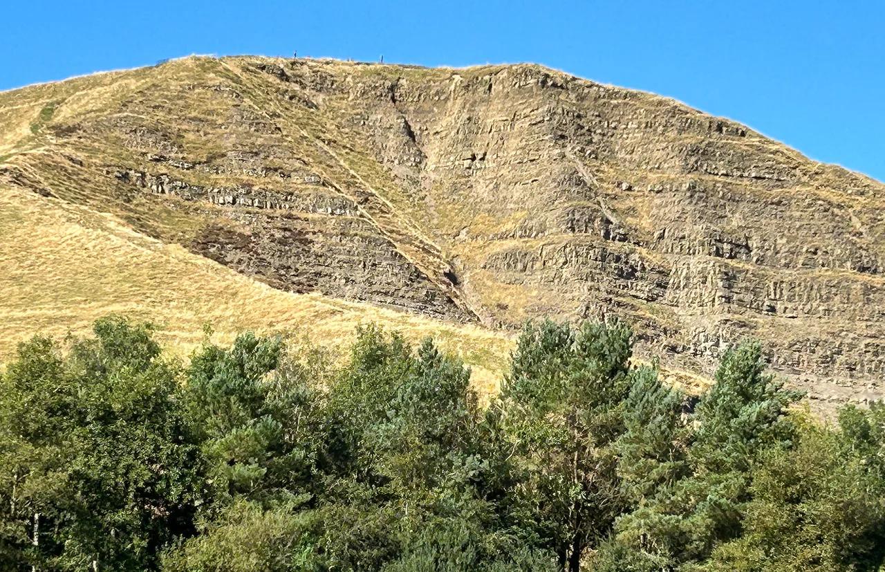
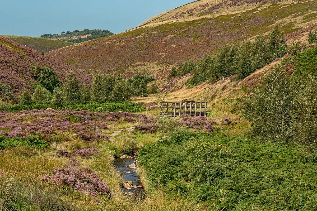
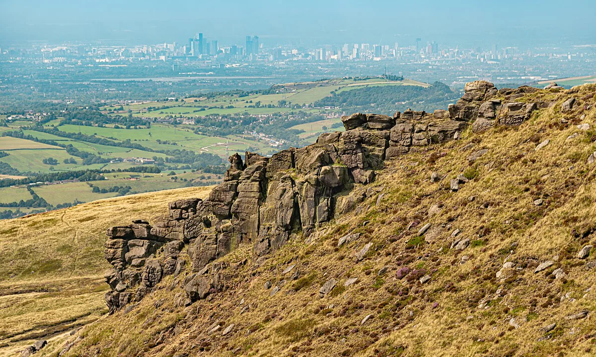
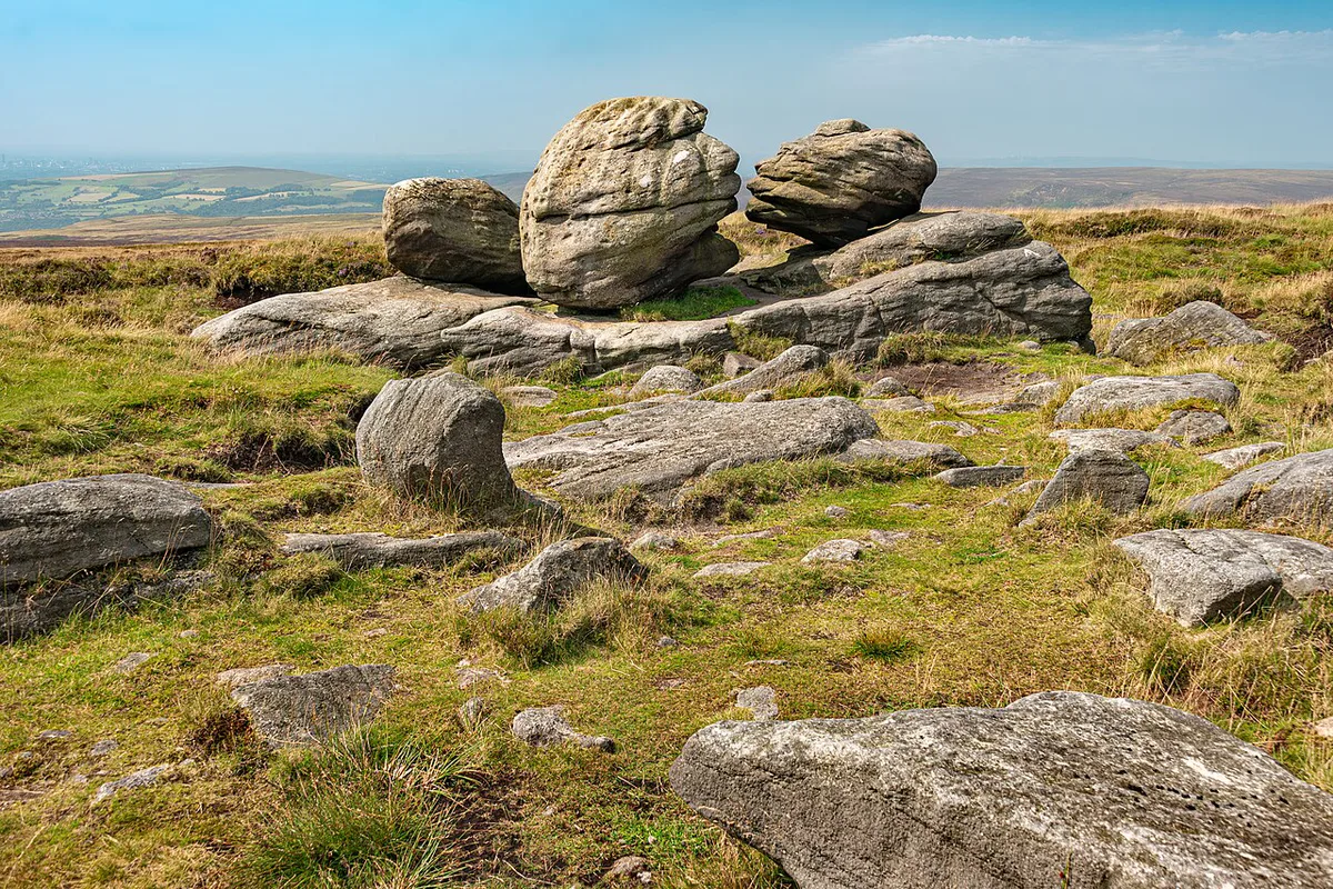
Kinder Scout, at 636 m (2,087 ft), is the highest point in the Dark Peak and in the whole Peak District. Gritstone moorland forms an arc across the north, east and west. Limestone dales fill the centre and south. Dark Peak moors also receive more rain than the White Peak. Frost lies for 20–30 per cent of the winter on Dark Peak moorland, against 10 per cent in the White Peak. Natural England treats the South West Peak as a third area, with farmland, gritstone edges and moorland.
| Zone | Landscape | Walking and navigation | Villages and transport |
|---|---|---|---|
| Dark Peak | Gritstone moorland, edges, peat plateaus | Exposed; navigation skills matter in low cloud | Few settlements; roads such as the A57 Snake Pass can close in snow |
| White Peak | Limestone dales, farmland, gorges | Gentler valley walking; paths easier to follow | Most villages and farmland; Bakewell, Eyam, Hartington |
| South West Peak | Farmland, gritstone edges, quiet valleys | Mixed; ridges such as The Roaches are exposed | Few buses; most visitors arrive by car via Leek or Buxton |
The Peak District by Area: A Planning Map in Words
Eight areas cover most trips. Hope Valley and Edale is the most dramatic, with Edale at the start of the 268-mile Pennine Way. Hathersage and Castleton sit along the same valley. Buxton, Bakewell, Matlock and Glossop act as gateways around the edges and centre. Browse villages across the park to choose each base. Add things to do across the park once you settle on areas.
| Area | Character | Best for | How to arrive | Caveat |
|---|---|---|---|---|
| Hope Valley and Edale | Kinder Scout, caves, reservoirs | Big walks, caves, climbing | Hope Valley rail line; car | Car parks fill early on sunny weekends |
| Glossop and Kinder | Wild moorland, old mill towns | Long hikes, quiet days | Trains from Manchester to Glossop and New Mills | A57 Snake Pass often shuts in snow |
| Chatsworth and the Eastern Edges | Gritstone edges, stately home | Edge walks, history | Trains to Hathersage and Grindleford; buses from Sheffield | Busy on dry weekends |
| Bakewell and the Dales | Market town, limestone dales | First visits, cycling, food | A6 between Buxton and Matlock | No station; parking is hard in summer |
| Buxton and the Goyt Valley | Georgian spa town, western moors | Rainy days, families | Direct trains to Manchester; A6 and A515 | Town sits just outside the park |
| Matlock and the Derwent Valley | Gorge, cable cars, mills | Families, wet-weather options | Trains from Derby to Matlock, Matlock Bath and Cromford | Outside the south-east edge |
| Leek and the South West Peak | Quiet ridges and valleys | Quiet walks, scrambles | Car via the A53 from Buxton or Leek | Few buses |
| Ashbourne and Dovedale | Stepping stones, limestone dale | Families, easy valley walks | Car; Ashbourne is the southern gateway | Summer weekends queue at the stones |
Which Peak District Map Do You Need?
OS Explorer maps are 1:25,000 and show paths, field boundaries and access land. OS Landranger maps are 1:50,000 and suit driving and wide-area planning. OS also offers digital maps that you can download to a phone. A phone battery can fail on the moors, whereas paper cannot. Visit Peak District & Derbyshire runs an interactive map of places to stay, eat and visit. Tourist maps are for planning, not navigation. Kinder Scout and Bleaklow are high moorland where an OS map, a compass and navigation skills matter. Low cloud there removes landmarks.
| Job | Best map | Limit | Not enough when |
|---|---|---|---|
| Sightseeing overview | Tourist or interactive area map | Shapes and positions are approximate | You leave the road |
| Road trip | Road atlas or sat-nav, plus an area map | Shows roads, not parking pressure | Snow or landslips close a road |
| Easy valley walk | OS Explorer, paper or app | Needs basic map reading | A path is diverted |
| Moorland or edge walk | OS Explorer plus compass | Needs navigation skills | Low cloud covers the plateau |
| Caves and rainy day | Town and village map | Covers streets, not hill routes | You plan to walk between sites |
| Car-free trip | Rail and bus network map | Coverage is partial | Your base has no station |
Peak District Map of Attractions: What to Pin First
Group pins by type, then match each type to one area. Caves cluster in one village, so a single pin cluster covers a full day.
- Caves: Castleton's show caves share one village with Peveril Castle on the hill above.
- Four caves: Peak Cavern, Speedwell (by boat), Treak Cliff and Blue John.
- Peak Cavern: pin the Peak Cavern visit first. Its official site lists current opening details.
- Blue John: Blue John Cavern: Tickets, Tour, Steps and How to Visit sits in the hills above Castleton, where the banded Blue John stone is mined.
- Stately home: Chatsworth's house and gardens sit beside the River Derwent, and the parkland is free to walk.
- Market town: Bakewell's market runs on Mondays.
- Outdoor highlights: Mam Tor is a short, paved climb to 517 m, with Edale on one side and the Hope Valley on the other.
- Outdoor highlights: Dovedale has stepping stones across the River Dove, and summer weekends queue there.
Trains, Main Roads and Getting Around Without a Car
Trains reach some gateways but not the high moors. Bakewell has no station, and the nearest are Matlock, Buxton and Chesterfield. Roads matter just as much. The A57 Snake Pass and A635 closed for almost a month in the snowy winter of 2009–10. Parking pressure is reported at popular sites, with Dovestone Reservoir's car park filling on sunny weekends. Mam Tor rewards weekday mornings. Check timetables with National Rail or Traveline before you go, because the car-free picture here is partial.
- Hope Valley line: Manchester Piccadilly to Sheffield, stopping at Edale, Hope, Bamford, Hathersage and Grindleford.
- Glossop and New Mills: trains from Manchester.
- Matlock, Matlock Bath and Cromford: trains from Derby.
- Buxton: direct trains to Manchester.
How to Plan Your Time: One Area per Day
Distances look short on a map, yet moor roads and car parks slow every day. Plan one area per day. A three-day visit could pair Hope Valley and Edale, then Bakewell and the Dales, then Buxton. Wet weather changes the choice. Low cloud on Kinder Scout favours Castleton's caves and Buxton's town streets. Our weather guide gives seasonal detail.
Mam Tor's 517 m climb is short and paved, so it can fill one morning alongside the Hope Valley walks.
- Car vs train: trains serve Hathersage, Edale and Glossop; a car reaches Leek, Dovedale and the Dales.
- Busy vs quieter: the South West Peak around Leek is quieter, though few buses run there.
- Dark Peak vs White Peak: first-timers get villages, caves and gentler dales in the White Peak.
- Mistake to avoid: treating the Peak District as one place.
- Mistake to avoid: trusting phone signal or a tourist map on the moors.
- Mistake to avoid: packing several areas into one day because distances look short.
Where to Stay by Area
Base yourself where your main day sits. Castleton and Hathersage suit the Hope Valley. Bakewell suits the central dales. Buxton and Matlock suit town-based wet-weather trips. Browse places to sleep across the park for rooms. Campers can read our campsite options. Guided days appear in our guided day trips guide.
Frequently Asked Questions
Where exactly is the Peak District?
It sits in central-northern England at the southern end of the Pennines, mostly in Derbyshire. Manchester lies to the west and Sheffield to the east. The national park covers 555 square miles (1,440 km²) across six counties.
What is the main town in the Peak District?
Bakewell is the only town inside the national park, and it hosts the Authority's offices. Buxton, Glossop and Matlock are larger gateway towns on the fringes. Pick Bakewell for a central base.
Notes for your next park visit
Optional updates to our national park guides.
Read next
Keep planning
Picked from the same area