
Majella National Park: Hikes, Towns & How to Visit
Plan Majella National Park in Abruzzo: base towns, gorge and Monte Amaro hikes, access without a car, seasons and what to check first.
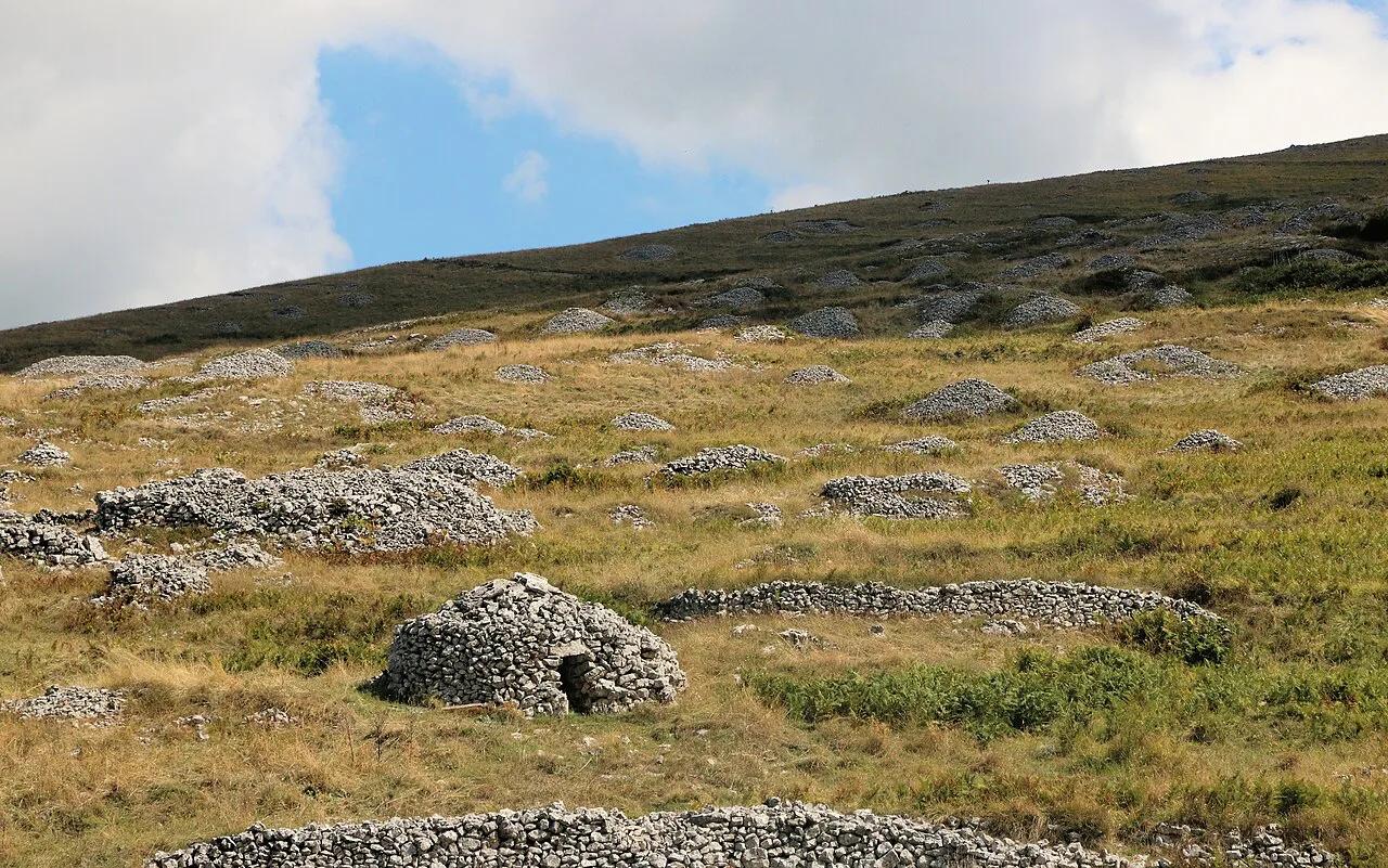
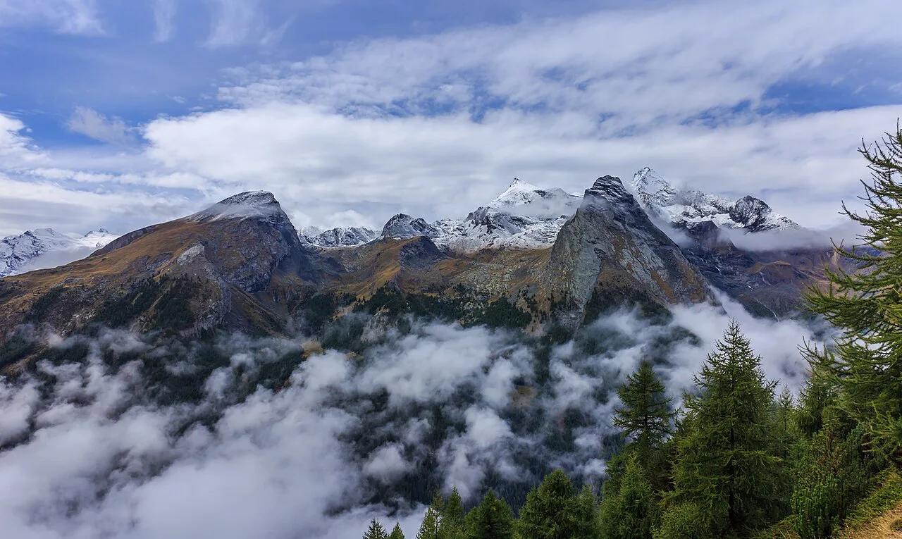
Last updated November 2026: majella national park (Parco Nazionale della Maiella) covers about 74,000 hectares of the central Apennines in Abruzzo. Its gorges, rock hermitages and high plateaus peak at Monte Amaro, 2,793 m above sea level. Public transport is thin, so a car is the realistic default, and the base-town and hike tables below help you choose quickly.
Featured image: Paul Harrison, CC BY-SA 4.0, via Wikimedia Commons.
Majella National Park at a glance
Majella suits hikers, gorge walkers and slow-travel drivers better than quick-stop visitors. The park says more than half of its area lies above 2,000 m. Reaching Monte Amaro takes 10 hours or more by the long routes. Easy walks of 1.5 to 3 hours also exist around Caramanico Terme and Fara San Martino. Buses serve only a few access points, which is the main trade-off.
- Pick a gorge or hermitage walk if you have a day or less: base yourself in Caramanico Terme or Fara San Martino.
- Pick a summit day if you are very fit: Monte Amaro is a 10-hour-plus outing in July or August.
- Pick hill towns and crafts if you prefer culture: Pacentro, Guardiagrele and Pescocostanzo fit that plan.
- Pick trains and buses only if you accept extra legs: Sulmona and Pescara are the rail anchors.
Where is Majella National Park and how do its areas differ?
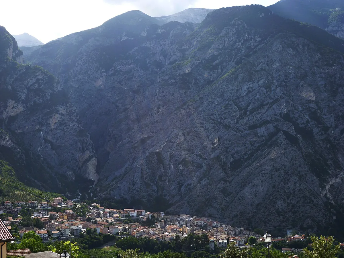
Majella National Park sits in Abruzzo, and its four main access areas feel quite different. Sulmona works as a gateway but lies just outside the boundary. Visitors sometimes assume it is inside, so plan it as a base for the western side rather than a park town. Full boundary details and area maps are on the official park site.
- Western side: Sulmona as the gateway, with hill towns such as Pacentro nearby.
- Orfento side: Caramanico Terme, home to the Valle dell'Orfento visitor center.
- Eastern slope: Fara San Martino, with a park visitor center at 440 m and the San Martino gorge.
- Blockhaus and Passo Lanciano side: the start of the classic Monte Amaro route via Rifugio Pomilio.
How to get to Majella National Park and get around
Driving is the simplest option. From Rome, take the A24 and A25 and leave at one of the exits below. From the Adriatic side, take the A14 to Pescara and then the A25. You can also reach the eastern slope via Guardiagrele or the Val di Sangro. Pescara is the nearest airport. Without a car, the Rome–Sulmona–Pescara railway serves the area. Scafa station is about 20 km from Caramanico Terme. TUA buses from Pescara, Chieti and Scafa stop at the Decontra turnoff on the SS487. For Fara San Martino, the nearest station is Lanciano, about 33 km away, with a Sangritana bus via Casoli. Trailheads such as Blockhaus or Rava del Ferro need a car or taxi. Schedules change, so check Trenitalia, TUA and Sangritana timetables before you commit to a bus-only plan.
- Pratola Peligna
- Bussi
- Torre de' Passeri
- Alanno-Scafa
Best base towns in Majella National Park
Choose the base by the walk you want, not by the prettiest town. Caramanico Terme and Fara San Martino sit closest to the classic short hikes. Sulmona is the easiest rail-linked gateway. Every other town is a drive from the trailheads. Transport cells below come from park-area rail and bus information, and blank cells mean no firm detail is published.
| Base | Best for | Rail or bus clue | Main trail access | Trade-off |
|---|---|---|---|---|
| Caramanico Terme | Orfento valley, thermal springs | Scafa station about 20 km; TUA to Decontra turnoff | Sentiero delle Scalelle from Santa Croce (680 m) | Free Orfento registration needed first |
| Fara San Martino | Gorge and monastery ruins | Lanciano station about 33 km; Sangritana via Casoli | Gole di San Martino (H1) from visitor center (440 m) | Remote from rail; helmet advised |
| Lama dei Peligni | Wildlife, Apennine chamois | Not stated | Several hiking routes | Few published details |
| Pacentro | Medieval castle, valley views | Not stated | Not a main trailhead | Best as a culture stop |
| Pescocostanzo | Baroque churches, winter snow | Not stated | Summer walks and winter snowshoeing | Car-dependent |
| Guardiagrele | Metalwork and artisan workshops | Eastern-slope road access | Edge of the park | More town than trail base |
| Sulmona | Gateway, confetti sweets | Rome–Sulmona–Pescara railway | Outside the boundary | Not inside the park |
Best things to do in Majella National Park
Group your days by interest rather than trying everything. Gorges and hermitages give the most scenery per hour of effort. Monte Amaro rewards experienced hikers only. Towns fill rest days and bad-weather days.
- Gorges and hermitages: the Gole di San Martino and Eremo di San Bartolomeo in Legio are 3-hour loops.
- Orfento valley: the 1.5-hour Sentiero delle Scalelle follows a canyon with footbridges and steps.
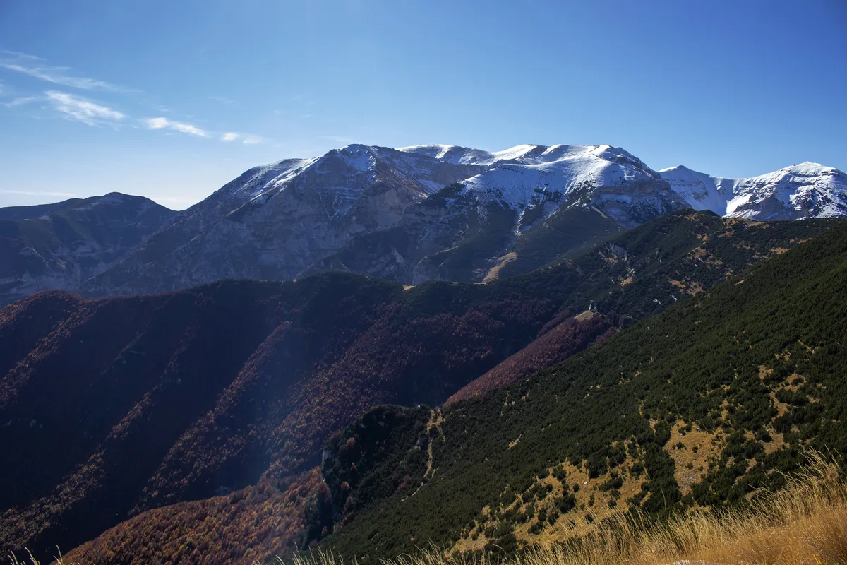
- Monte Amaro: 2,793 m, the summit of the park, reached by three long routes.
- Thermal and wellness: Caramanico Terme is known for its thermal springs.
- Towns and crafts: Guardiagrele for metalwork, Pacentro for its castle, Pescocostanzo for baroque churches.
- Wildlife: Lama dei Peligni has the Maiella Wildlife Area, with Apennine chamois.
Hiking in Majella: what to know
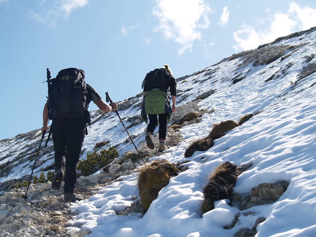
Trails are signed with letter-and-number codes, and a route description is a list of codes in walking order. Boards at trailheads show the CAI grade from T to EEA and icons for dogs, horses and bikes. Pick routes by ascent as well as distance. The table compares the main routes using the park's own figures.
| Route | Distance, ascent, time | Grade and codes | Water | Who should skip |
|---|---|---|---|---|
| Sentiero delle Scalelle | Loop, 120 m ascent, 1.5 h | Codes B6 and S | Not stated | Anyone avoiding steep steps |
| Eremo di San Bartolomeo | Loop from Decontra (810 m), 285 m ascent, 3 h | Codes P, S and CP | Spring near the hermitage; stream dries by end of June | Dog owners: dogs not allowed |
| Gole di San Martino | Loop, 150 m ascent, 3 h | Code H1 | Springs of the Verde on return | Anyone without a helmet |
| Monte Amaro from Blockhaus | 26 km, about 1,500 m, over 10 h | Code P | Not listed | Anyone not very fit |
| Monte Amaro by Rava del Ferro | About 10 km, 1,312 m | Grade EE; B5 and P | None; carry 3 liters | Anyone expecting an easy short day |
| Monte Amaro from Fonte Romana | 20 km, about 1,600 m, over 10 h | Not stated | Not listed | Hikers without navigation skills |
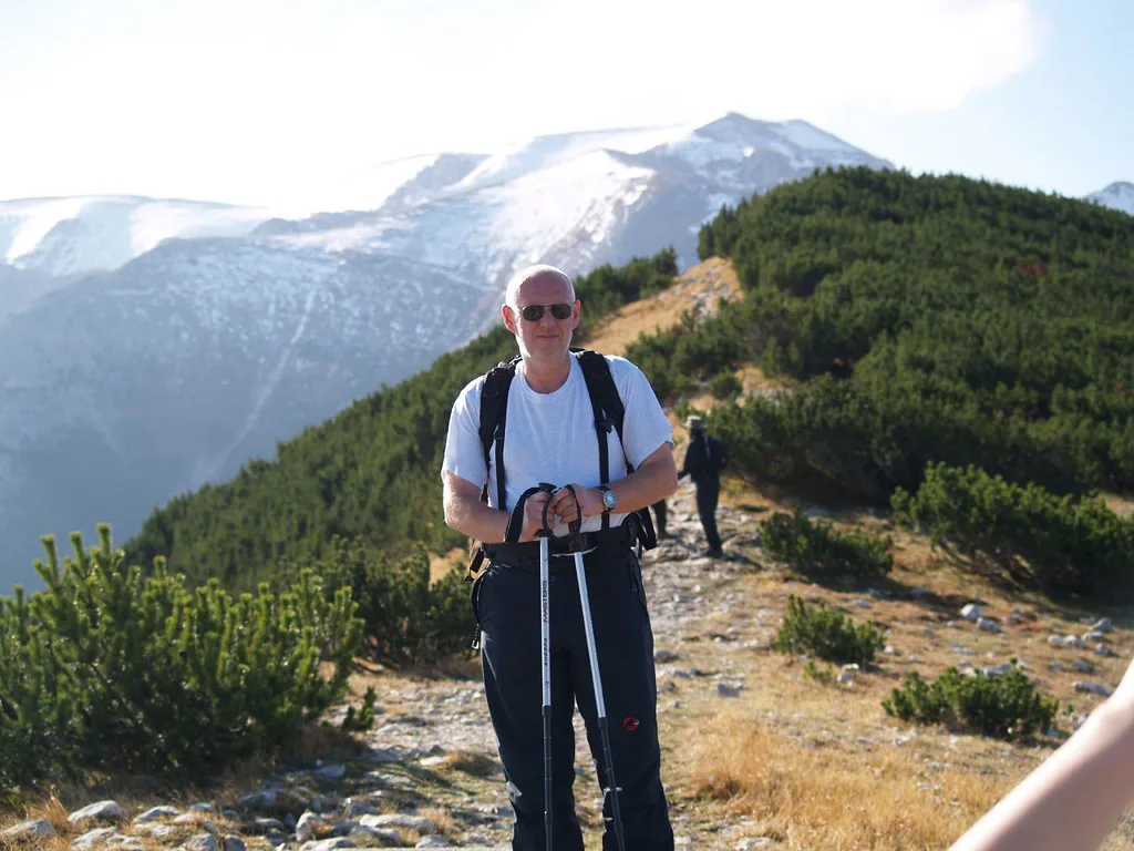
- Mistake to avoid: shortest does not mean easiest. The Rava del Ferro route is only about 10 km but climbs 1,312 m.
- Zone A: stay on marked trails. If you lose the trail, the park's instruction is to turn back.
- Closures: the park publishes a list of closed trails, which has included paths around Passo Lanciano. Rifugio Pomilio has been listed as closed.
- Fire and camping: fires are prohibited, and camping is allowed only in authorized areas with temporary park permission.
- Wildlife: Marsican brown bear, Apennine wolf and Apennine chamois live here. Keep your distance and never feed animals.
- Emergencies: call 118 for mountain rescue.
How to plan your time in Majella National Park
Point-to-point and out-and-back routes make return logistics the real constraint. Most loops start and finish at one car park, which simplifies things. Allow a full day for any Monte Amaro route.
Budget by ascent, not distance: the Rava del Ferro route climbs 1,312 m in about 10 km, so a short distance on the map can still mean a long day.

- Half day: the 1.5-hour Sentiero delle Scalelle from Santa Croce, or the 3-hour Gole di San Martino loop from Fara San Martino.
- One day: the 3-hour Eremo di San Bartolomeo loop from Decontra, then an afternoon in Caramanico Terme.
- Family or low effort: Scalelle (120 m ascent) and the gorge loop (150 m ascent), with helmets for the gorge.
- Hiker: Monte Amaro by one of the three routes, which takes 10 hours or more, in July or August.
- Two to three days: Orfento on day one, San Martino gorge on day two, then Pacentro and Sulmona or a summit attempt.
Costs, tickets and opening hours
Published park pages list no general entrance fee or opening hours. Visitor-center hours are on the park's official site.
- Orfento registration: free, issued at the Valle dell'Orfento visitor center in Caramanico Terme.
- Closed-trail list: read it before every long day.
- Rifugio Pomilio: listed as closed at last check, so do not count on it.
- Camping: ask the park for temporary permission.
Best time to visit Majella National Park

May to October suits most walking. July and August open the high plateau and the park's guided Monte Amaro ascents, though snowfields can remain. Spring brings flowering along the Orfento. The stream below the San Bartolomeo hermitage dries up at the end of June. In winter, the park advises carrying an ice axe, crampons and avalanche gear, and checking snow bulletins. Pescocostanzo turns to skiing and snowshoeing at that time. Regional tourism information is on the Abruzzo tourism site.
Where to stay near Majella National Park
Match the base to the trip. Walkers choose Caramanico Terme for Orfento and thermal springs. Gorge fans choose Fara San Martino. Train travelers choose Sulmona and add a taxi or bus leg. Culture-focused visitors choose Pacentro, Guardiagrele or Pescocostanzo. Book ahead for July, August and winter weekends.
Other national parks in Italy
Majella pairs well with other Abruzzo parks on a longer trip. For a wider view, start with our guide to 16 National Parks in Italy: Best Parks by Region & Traveler. Our shortlist of top Italian parks helps with comparisons. A neighboring option is the Abruzzo park nearby. Higher mountain scenery is covered in Gran Sasso and Monti della Laga. Beyond Abruzzo, try the Sibillini mountains. For coast and contrast, see Cinque Terre's coastal trails.
Notes for your next park visit
Optional updates to our national park guides.
Read next

Keep planning
Picked from the same area