
Gran Sasso National Park Guide: Where to Go and Stay
Plan Gran Sasso National Park: Campo Imperatore, Corno Grande and Laga waterfalls, with bases, seasons, hikes and what to skip.
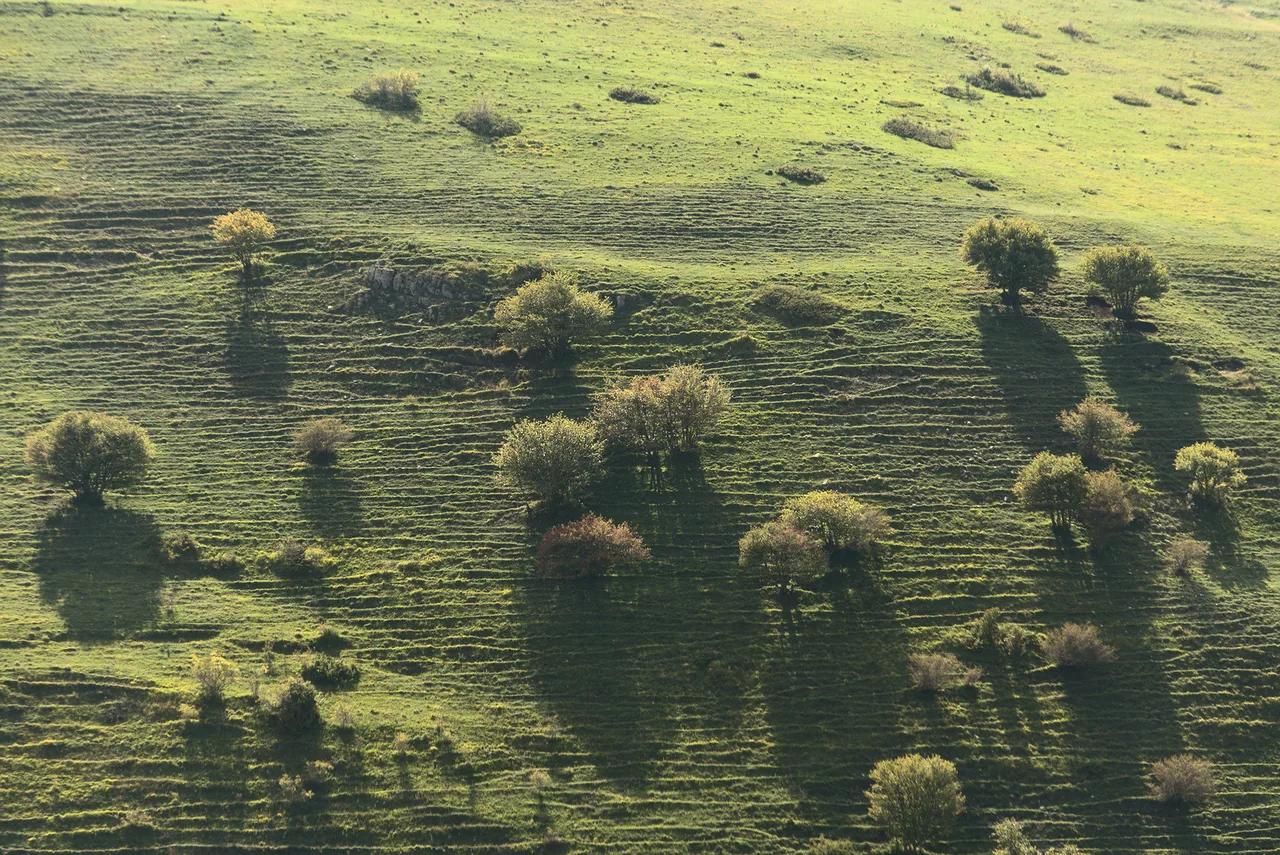
Last updated November 2026. Gran Sasso National Park (Parco Nazionale del Gran Sasso e Monti della Laga) covers parts of Abruzzo, Lazio and Marche. It splits into two different trips: the bare limestone massif around Corno Grande, and the wetter, forested Monti della Laga. For a first visit, base yourself near Campo Imperatore and add one Laga waterfall walk if you have a second day. To compare it with other protected areas, start with our overview of Italy's national parks.
Featured image: adundovi, CC BY-SA 2.0, via Flickr.
Gran Sasso National Park at a Glance
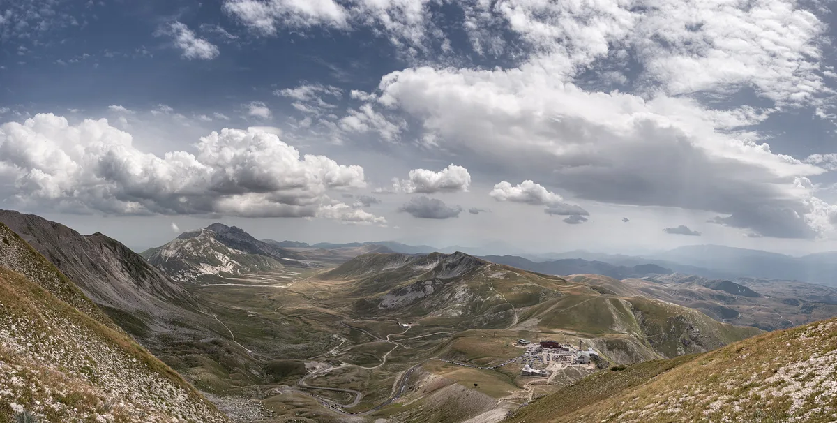
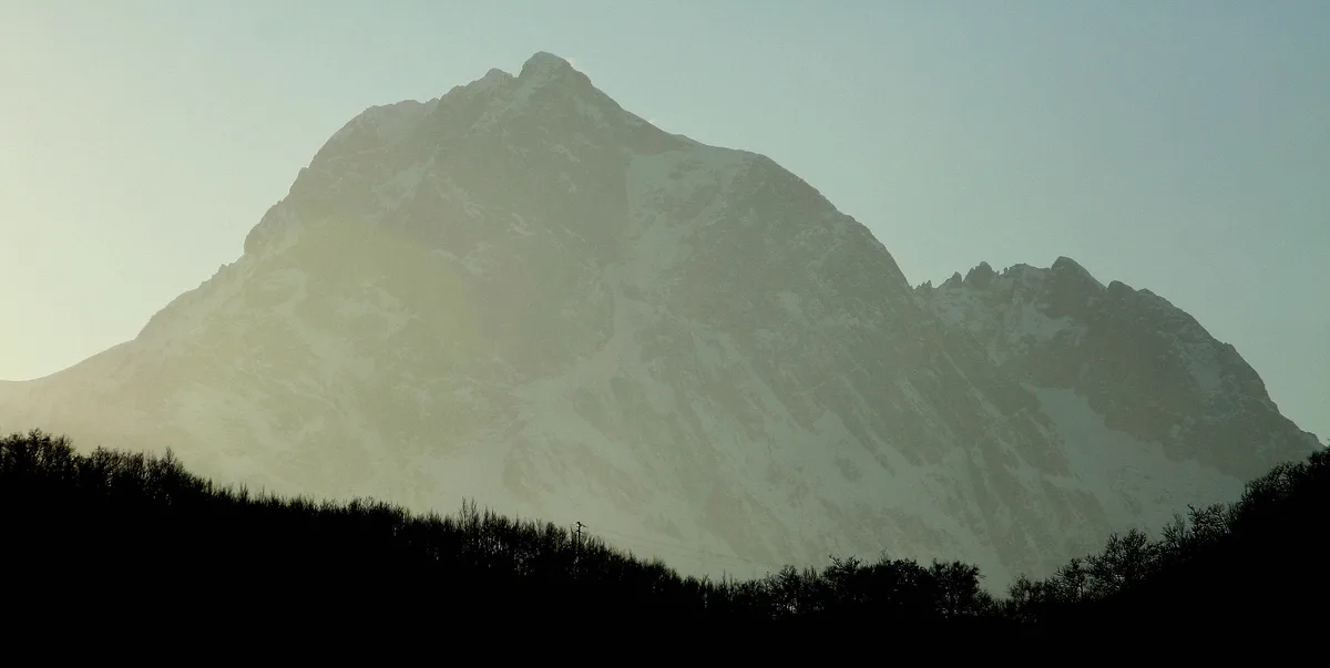
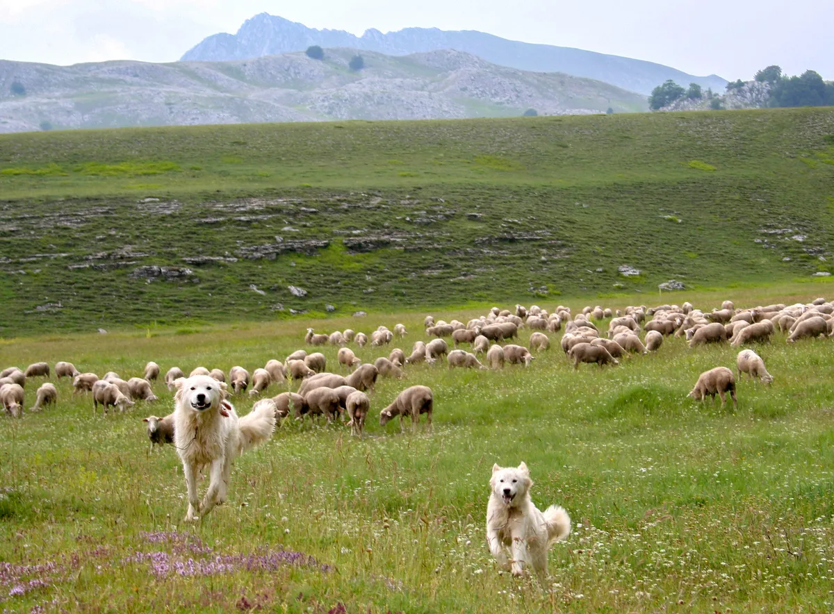
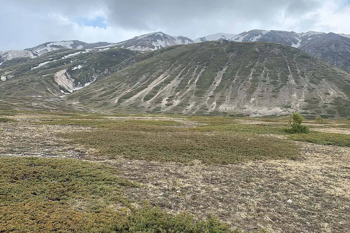
Corno Grande reaches 2,912 m (about 9,550 ft) and is the highest peak in the Apennines. Campo Imperatore, a high plateau at roughly 1,800 to 2,100 m, lies beside it. Locals call the plateau "Piccolo Tibet" for its treeless, wide-open scale. Park listings put the protected area at about 148,935 hectares, with 44 municipalities and 17 visitor centres. Current access news, visitor centres and itineraries are posted on the park authority's official site. A first-time plan is simple. Spend day one on the plateau and refuge area, then use day two for either a Laga waterfall walk or a harder climb.
Gran Sasso Massif vs Monti della Laga: Which Half to Visit
Gran Sasso proper is high, rocky and open. You get long views, refuges and the best-known peaks. Monti della Laga is greener and wetter, with beech forest, streams and waterfalls. Route-app data lists the Umito to Volpara Waterfalls walk at 12.5 km (7.8 miles), about 5 h 8 min, with roughly 660 m of ascent. Pick the massif for scenery above the tree line. Pick the Laga for shade and moving water on a warm day.
| Half | Landscape | Best for | Main trade-off |
|---|---|---|---|
| Gran Sasso massif | Limestone peaks, Campo Imperatore plateau, refuges | Panoramas, Corno Grande, easy plateau walks | Exposed to wind, cold and sudden weather |
| Monti della Laga | Forests, streams, waterfalls | Shaded walks, Volpara Waterfalls | Longer approaches and fewer facilities |
Best Things to Do in Gran Sasso National Park
Most visitors combine one plateau day with one hiking day. These are the stops worth building around.
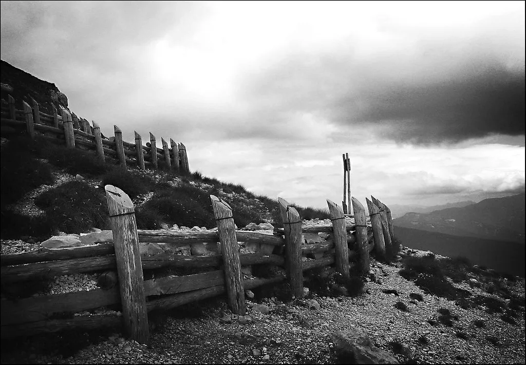
- Campo Imperatore: drive or walk across the plateau at roughly 1,800 to 2,100 m for the open, Tibet-like scenery.
- Corno Grande and Corno Piccolo: the main summit is the Apennines' high point, while the smaller peak rises above Prati di Tivo.
- Rifugio Duca degli Abruzzi: a Club Alpino Italiano (CAI) hut built in 1908 at about 2,388 m on Monte Portella, with a 360-degree terrace view.
- Rifugio Carlo Franchetti: a hut reached on foot from Prati di Tivo, between Corno Grande and Corno Piccolo.
- Canyon dello Scoppaturo: an easy ring walk between large rock blocks in a desert-like landscape.
- Volpara Waterfalls: the main Laga objective, reached from Umito.
- Castel del Monte: a village at the plateau's edge and the start of the Monte Bolza loop.
- Fonte Vetica: a monument to the shepherds of the transhumance, with a sculpture by Vicentino Michetti.
Gran Sasso Hikes by Difficulty
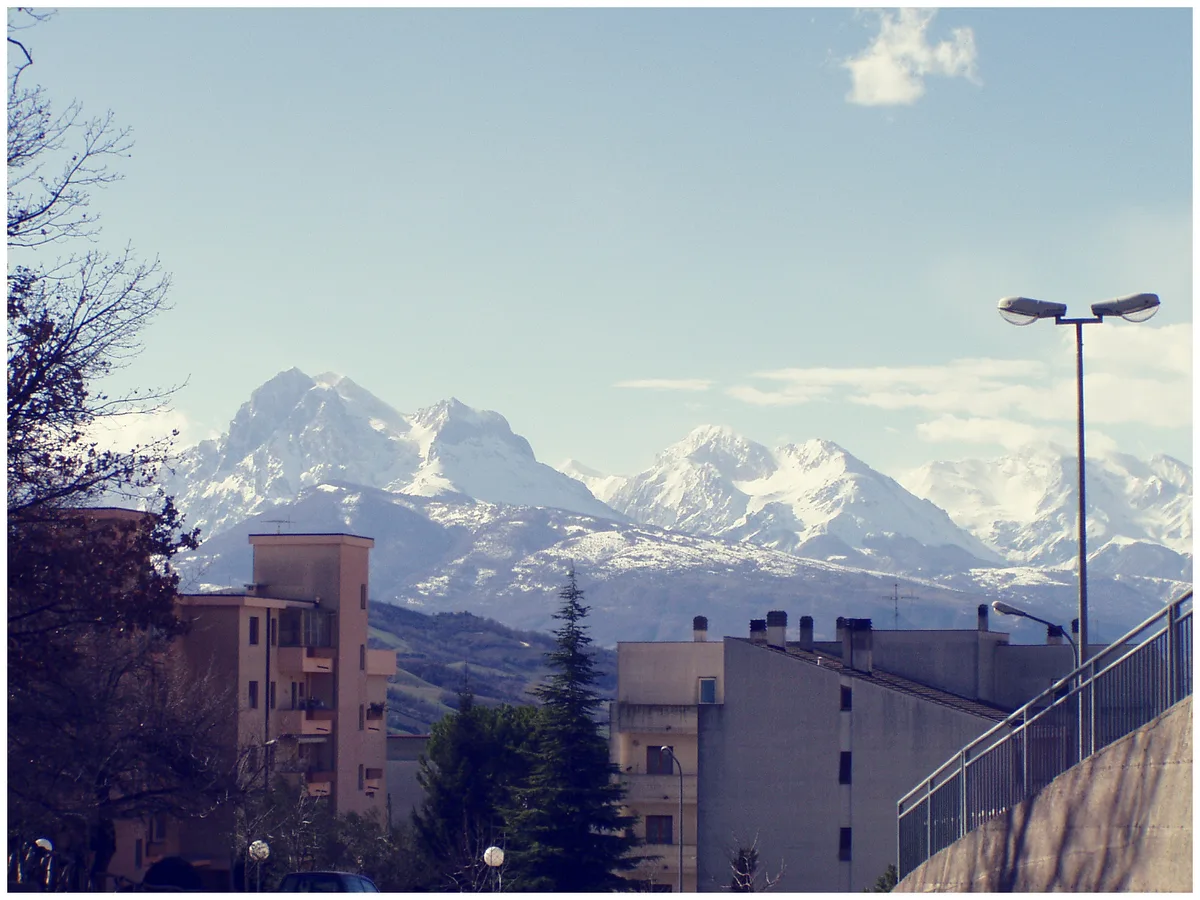
Figures below are route-app estimates, so treat them as planning guides. Difficulty bands follow the Swiss Alpine Club (SAC) hiking scale. Corno Grande from Campo Imperatore covers 9.89 km (6.1 miles) in about 5 h 26 min. Its final 400 m, a gully and a ridge, need equipped-hiker skills, mountaineering boots and ideally a helmet. Skip the summit if you fear heights, have no alpine experience or are hiking with young children.
| Route | Distance and time | Ascent | Difficulty | Suits |
|---|---|---|---|---|
| Canyon dello Scoppaturo ring | 6.83 km, about 1 h 50 min | About 90 m | Easy | Families, first-timers |
| Monte Bolza loop from Castel del Monte | 12.0 km, about 4 h 9 min | About 610 m | Moderate | Fit walkers with good footing |
| Umito to Volpara Waterfalls | 12.5 km, about 5 h 8 min | About 660 m | Hard | Strong walkers who want water and forest |
| Prati di Tivo to Rifugio Franchetti | 8.75 km, about 4 h 50 min | About 950 m | Hard | Experienced hikers with sturdy boots |
| Corno Grande from Campo Imperatore | 9.89 km, about 5 h 26 min | About 800 m | Hard | Alpine-experienced hikers only |
How to Plan Your Time
One day lets you sample the plateau. Two to three days let you add a hike and a Laga waterfall. Use the skeleton below and adjust for weather.
Day 1's refuge stop at Duca degli Abruzzi runs daily only from 15 June to the end of September. Outside that window it typically opens weekends only, so confirm first.
- Day 1: cross Campo Imperatore, stop at Fonte Vetica, then walk up to Rifugio Duca degli Abruzzi if it is open.
- Day 2: choose the Scoppaturo ring for an easy outing, or the Monte Bolza loop from Castel del Monte for more effort.
- Day 3: head to the Laga side for the Umito to Volpara Waterfalls walk, or tackle Prati di Tivo to Franchetti if you are fit.
Best Time to Visit and Seasonal Closures
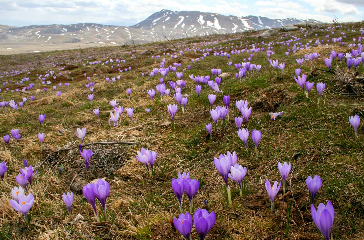
High-altitude access depends on weather more than on the calendar. Hikers report that Rifugio Duca degli Abruzzi opens daily from 15 June to the end of September, with kitchen and bar service from about 08:30 to 17:00. From October to May it typically opens on weekends only, and it often closes in November once heavy snow arrives. Fog, storms or fresh snow can shut it at short notice. Snow also affects roads and trails in the shoulder seasons and winter, so check conditions before you leave your base. Summer suits the high routes, while the Laga waterfalls reward a walk once the days warm up.
Costs, Access and Opening Hours
Cable-car fares, parking charges and refuge prices change by season. Check the Abruzzo tourism board and the park authority before you go.
Where to Stay and How to Get Around
Reach Campo Imperatore from the L'Aquila side and Prati di Tivo from the Teramo side. Park listings count 3 airports, 4 stations and 3 highway exits serving the area. Check the park authority's directions page for current routes. A car gives the most flexibility between bases. Public transport and cable-car details change, so confirm them with the operators.
| Base | Best for | Season fit | Car needed | Main trade-off |
|---|---|---|---|---|
| Prati di Tivo | Corno Piccolo, Rifugio Franchetti | Summer hiking | Check transport options | Steep climbs, about 950 m of ascent to the hut |
| Campo Imperatore | Plateau, Duca degli Abruzzi, Corno Grande | Summer; limited access in winter | Most practical by car | Exposed, with weather-dependent refuge hours |
| Castel del Monte | Monte Bolza loop, village stay | Spring to autumn | Helpful | Further from the high peaks |
| Laga side | Waterfalls, forest walks | Late spring to autumn | Likely | Long approaches, fewer services |
Safety, Weather and Mistakes to Avoid
Mountain conditions here can turn quickly, as the 1919 storm commemorated at Fonte Vetica shows. Carry layers even in summer, because temperatures drop sharply at 2,000 m and above.
- Going up to a refuge without checking its opening status.
- Treating Corno Grande as a walk rather than an alpine route.
- Bringing no warm layers at 2,000 m or higher.
- Relying on app-only trail data with no offline map.
- Starting a long hike late, with no weather check.
Nearby Parks and Next Steps
Abruzzo has more mountain parks within reach. Majella's gorges and hermitages make a natural follow-up. Abruzzo, Lazio and Molise National Park suits wildlife-focused trips. Sibillini's high peaks border Gran Sasso, and a long crossing links the two ranges. For a wider shortlist, see our ranking of Italy's best parks.
Notes for your next park visit
Optional updates to our national park guides.
Read next
Keep planning
Picked from the same area