
Cap Canaille: Cliff, Route des Crêtes and How to Visit
Plan a visit to Cap Canaille near Cassis: how to see the cliff, Route des Crêtes access, walking and boat options, and when to avoid it.
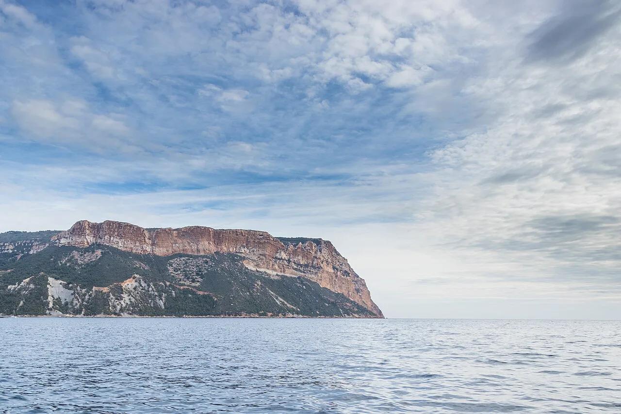
Last updated November 2026: Cap Canaille is the golden sea cliff just east of Cassis, reported at 394 m (about 1,290 ft). A viewpoint road and a handful of walking routes make it a lookout rather than a swim stop. We'd recommend it to travelers who want a big view over the Gulf of Cassis and have a car or a spare half day.
Featured image: Pierre Goiffon, CC BY-SA 4.0, via Wikimedia Commons.
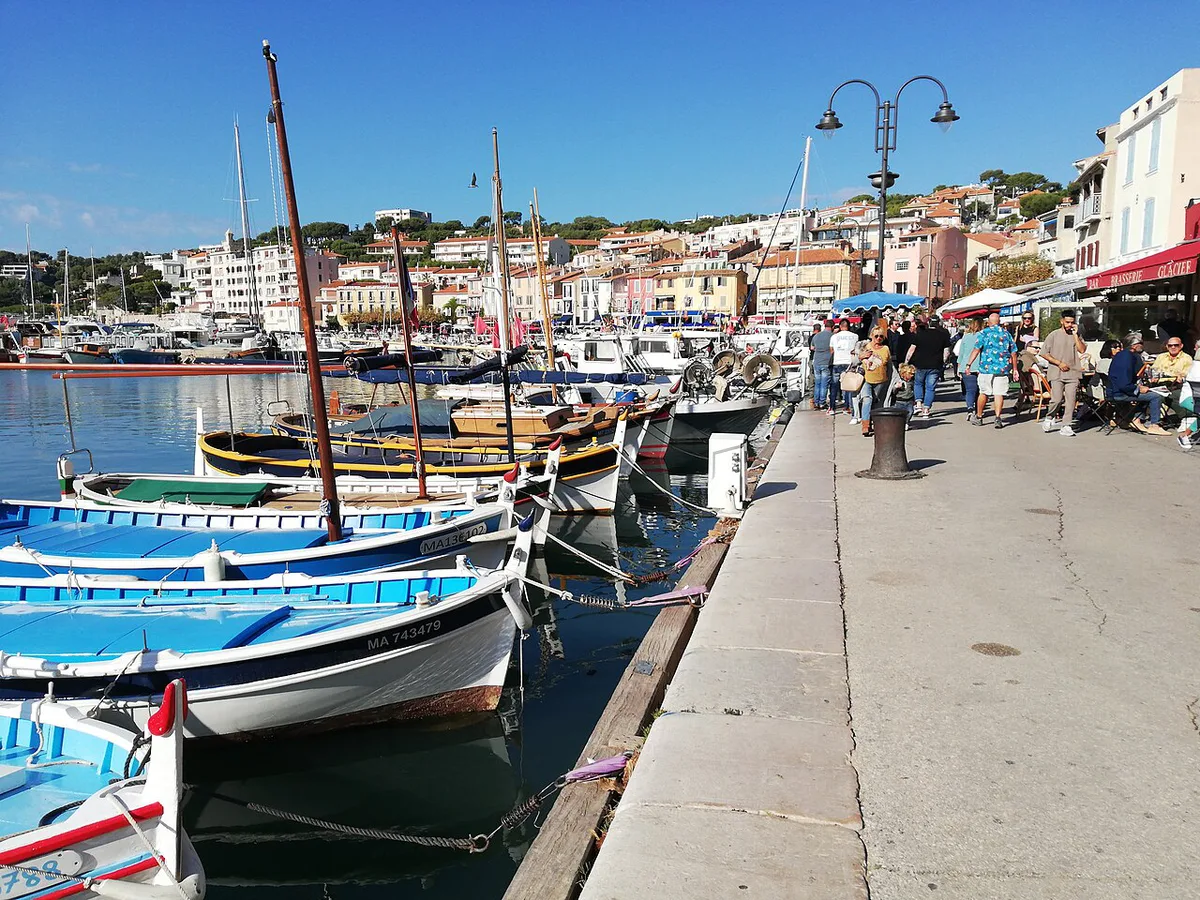
Cap Canaille at a glance
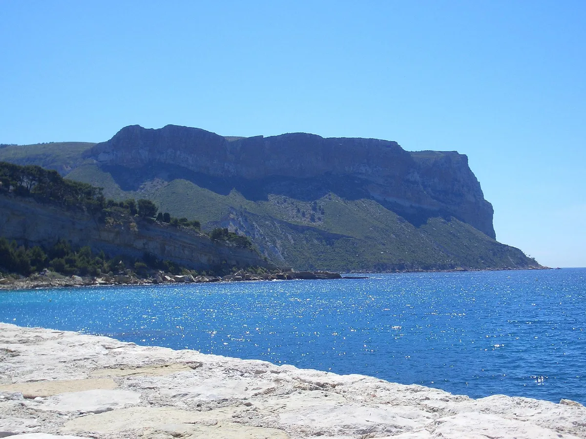
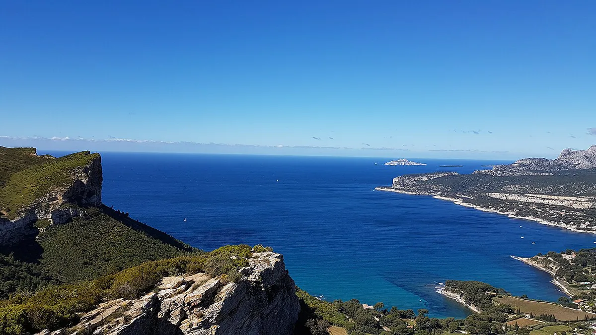
Cap Canaille marks the eastern edge of Cassis, and its ochre wall is visible from the harbor. Its highest point is called the Grande Tête, with a reported drop of 394 m. Some tour pages round that figure to 400 m, so we quote the lower, more widely repeated number.
- Height: reported at 394 m at the Grande Tête.
- Location: just east of Cassis, beyond the calanques inlets.
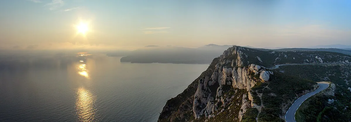
- Road: the Route des Crêtes, described as 15 km long and ending at La Ciotat.
- Best use: viewpoints, short walks and a view from the water.
- Not for: swimming. There is no beach or inlet at the foot of this cliff.
What Cap Canaille is and where the name comes from
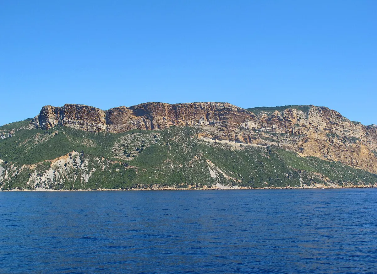
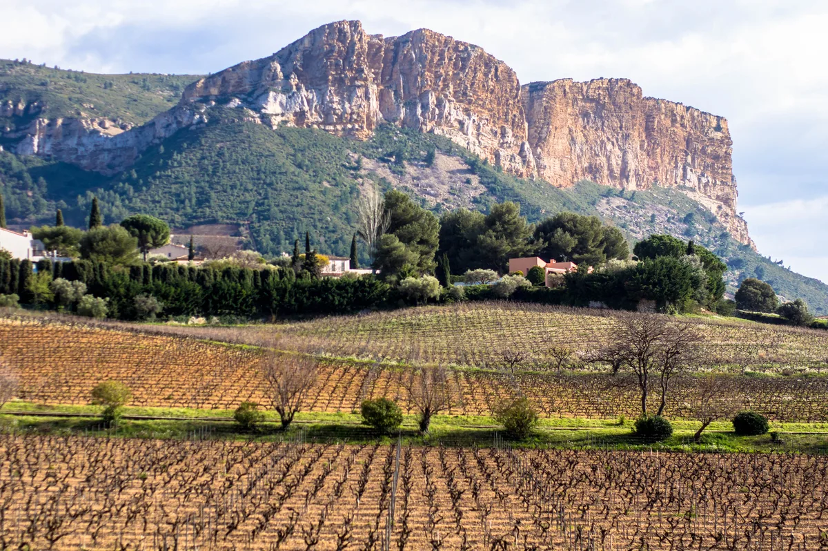
Its golden silhouette stands out against the pale limestone of the calanques. East of Cassis the landscape changes too. After the dry slopes of the calanques, pine trees and vineyards return. Cap Canaille sits just east of the Calanques National Park, so think of it as the neighbor to the inlets rather than one of them. Sources describe it as the highest sea cliff in France. Some say Europe, but that wording varies, so we stay with France. The name has two theories. One traces it to the Latin "canalis mons", meaning mountain of waters or aqueducts. The other points to the Provençal "cap naïo", often translated as the mountain that swims out into the sea. Neither is settled fact.
Three ways to see Cap Canaille
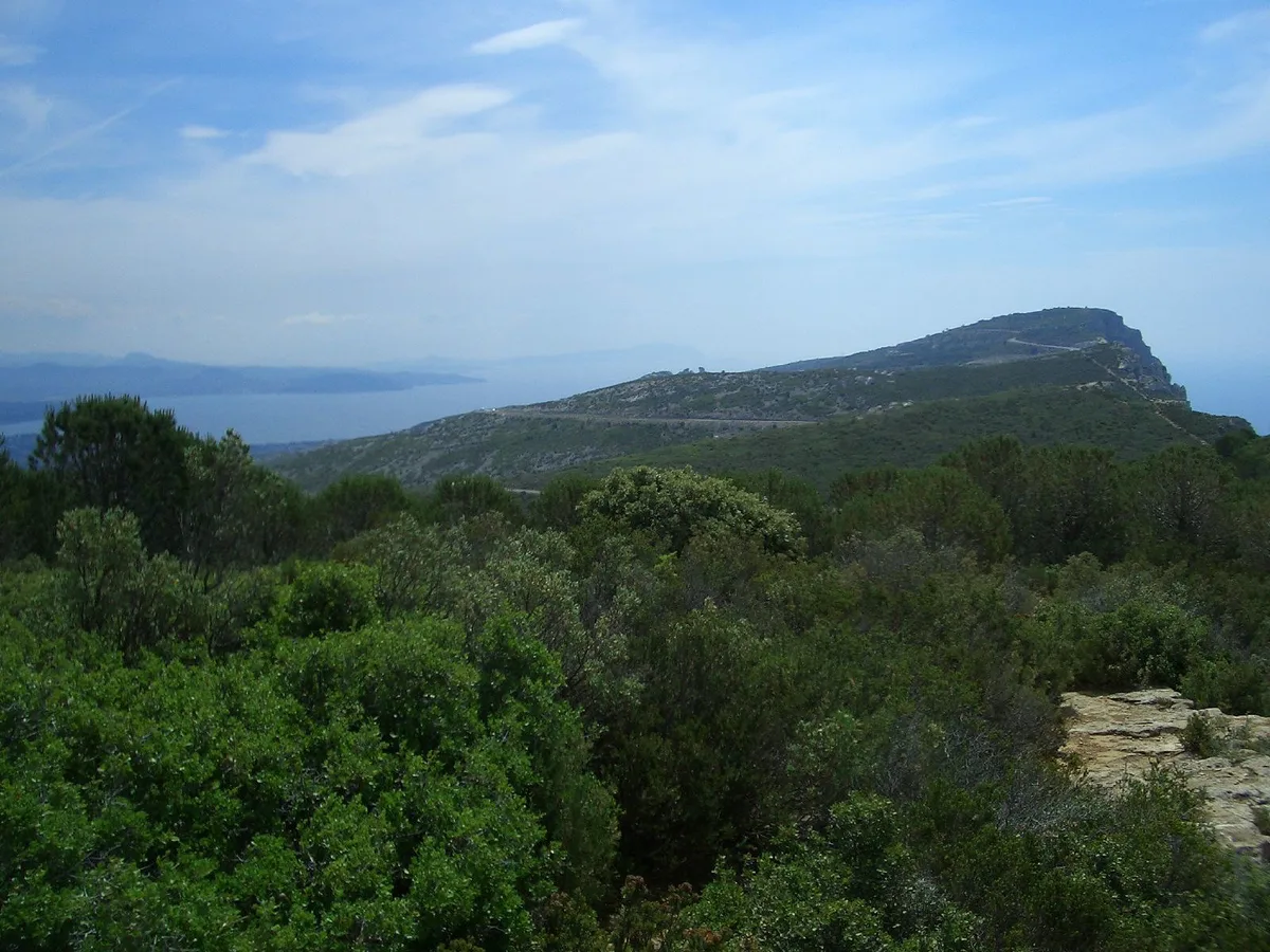
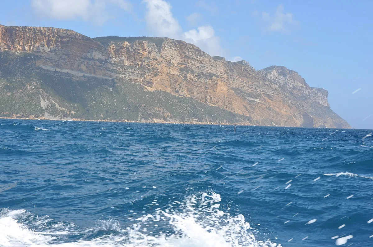
Each option suits a different traveler. Driving the Route des Crêtes gives the most height for the least effort. Walking gives you the cliff edge at your own pace. A boat from Cassis shows the full wall from below. Our pick for most visitors is the road plus one short walk from a pull-off. If you want a guided day, browse guided calanques tours and see which include the cliff. Paddlers can look at kayaking in the calanques for a sea-level view of the coast.
| Option | Effort | Time needed | Cost level | Without a car | Best for |
|---|---|---|---|---|---|
| Drive the Route des Crêtes | Low | Short stops, or a half day with walks | Free to drive and view | Hard; last stretch is the gap | Photographers and sunset viewers |
| Walk the cliff | Moderate; check route details with the park or tourist office | Half day | Free if self-guided; guides priced by operator | Possible if you can reach the trailhead | Hikers who like open ridges |
| See it from the water | Low | Depends on the boat trip you choose | Priced by operator | Yes, from the Cassis port | Travelers with no car |
How to get to Cap Canaille from Cassis and Marseille
Everyone starts in Cassis. Our guide to getting to the calanques covers the trip from Marseille. With a car, you drive east out of Cassis and join the Route des Crêtes, which runs about 15 km to La Ciotat. Parking areas along the road let you stop for the panorama. Check parking rules and fees at each pull-off on arrival. Without a car, the last mile is the problem. We can't point to a confirmed public bus to the viewpoints. Ask at the Cassis tourist office about current transport and walking options. If that fails, a taxi or a guided trip is the fallback. For orientation, use our Calanques Map: Where Each Calanque Is and How to Reach It to place the cliff relative to the inlets.
Drivers can follow the 15 km stretch to La Ciotat or stop at one pull-off, and the one-hour option in the Cassis plan skips the walk.
When to go, and when not to
Wind and fire risk decide whether the Route des Crêtes is usable. The road is known to close in high wind and in fire-risk periods, so a clear forecast matters more than the month. Summer heat makes midday walking on the open ridge unpleasant, with little shade. Light is the best reason to time your visit. The cliff glows ochre in low sun, and the view toward the Gulf of Cassis rewards a late-afternoon arrival. Midday crowds gather at the easiest pull-offs, so we'd go early or late. We can't give opening dates for the road, because closures follow the weather.
Cap Canaille safety and rules
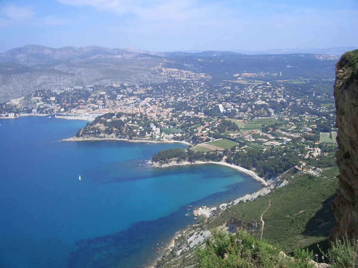
The cliff edge is a sheer 394 m drop, so keep back from it and keep children and dogs close. Wind gusts can be strong on the ridge. Wear shoes with grip, and carry water because shade and fountains are scarce. During fire season, access to the massif can be restricted. Check the Parc national des Calanques notices and the daily Bouches-du-Rhône prefecture bulletin before you set out. Our overview of the 5 Best Calanques to Visit: Calanques National Park Guide explains the wider rules for the massif.
How to fit Cap Canaille into a Cassis day
Pick the option that matches your time. Pairing the cliff with the water works well, because each view shows the other.
- One hour: drive the Route des Crêtes and stop at one viewpoint. Skip the walk.
- Half day: combine a viewpoint stop with a short ridge walk, then return to Cassis for lunch.
- Full day: take a boat tour from Cassis in the morning, then drive up to the cliff for the evening light.
- No car and short on time: skip the road. Use the boat trip to see Cap Canaille from the sea instead.
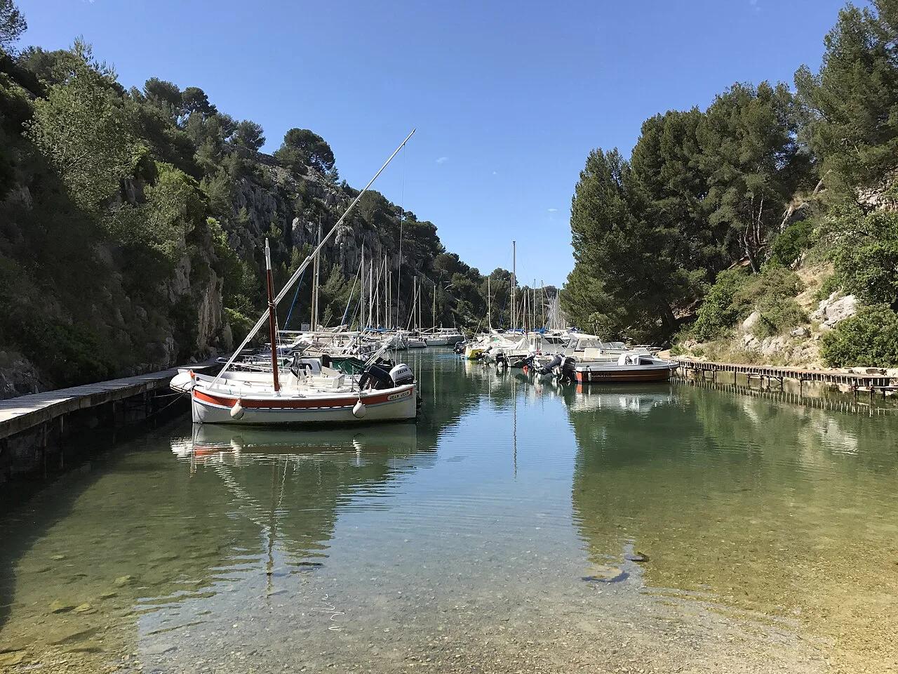
- For a swim or an easy walk instead, head to Port-Miou. Our Cassis guide covers the rest of the town.
Mistakes to avoid at Cap Canaille
A few errors cost visitors time or a wasted trip.
- Going without checking the closure notice for wind or fire risk.
- Expecting a beach or a calanque swim at the cliff.
- Skipping the water view, which shows the full height of the wall.
- Relying on a tour page's price without checking the operator.
Notes for your next park visit
Optional updates to our national park guides.
Read next

Keep planning
Picked from the same area