
How to Get to the Calanques: Marseille & Cassis Routes
Work out how to get to the calanques from Marseille or Cassis by bus, on foot, by boat or by car, plus closures and parking to check first.
Last updated November 2026: how to get to calanques depends on which calanque you want, because the park has no single entrance. Most visitors start from Marseille, with a city bus plus a walk or a boat from the Vieux-Port, or from Cassis, with a walk to Port-Miou or a boat. No car and little time points to a boat or a Cassis walk, hikers can pick a trailhead from either town, and drivers should check access limits first. Park rules are covered in our Calanques National Park guide.
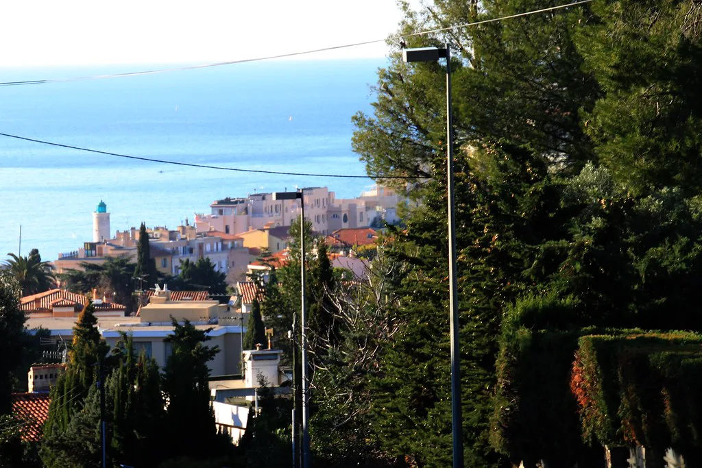
Featured image: Jack at Wikipedia, CC BY-SA 2.0, via Flickr.
Quick answer: which route fits you
Pick the route by your situation, then use the sections below for the details.
- No car, short on time: take a boat, or walk from Cassis to Port-Miou.
- Hiker: choose a trailhead in Marseille or Cassis that matches the calanque you want.
- Driver: check parking and road access limits before you leave, because they can change.
- Staying in Marseille: use the RTM city buses to the southern edge of the city.
Which calanques are you going to?
Calanques is a whole coastline, not one place. Marseille-side calanques include Sormiou, Morgiou and Sugiton. Cassis-side calanques include Port-Miou, Port-Pin and En-Vau. Our Calanques Map: Where Each Calanque Is and How to Reach It shows where each one sits.
| Area | Nearest base | Main access | Effort | Key restriction |
|---|---|---|---|---|
| Sormiou, Morgiou, Sugiton | Marseille | Bus to the southern edge, then walk | Steady walk on uneven ground | Fire-risk closures, set day by day |
| Callelongue | Marseille | RTM bus, then a short walk to the water | Easier than the others, still rocky | Fire-risk closures in dry months |
| Port-Miou | Cassis | Walk from town | Gentle start, then rocky paths | Fire-risk closures and park rules |
| Port-Pin, En-Vau | Cassis | Walk further along the coast, or boat | Harder; the final approach is steep | Fire-risk closures; heat |
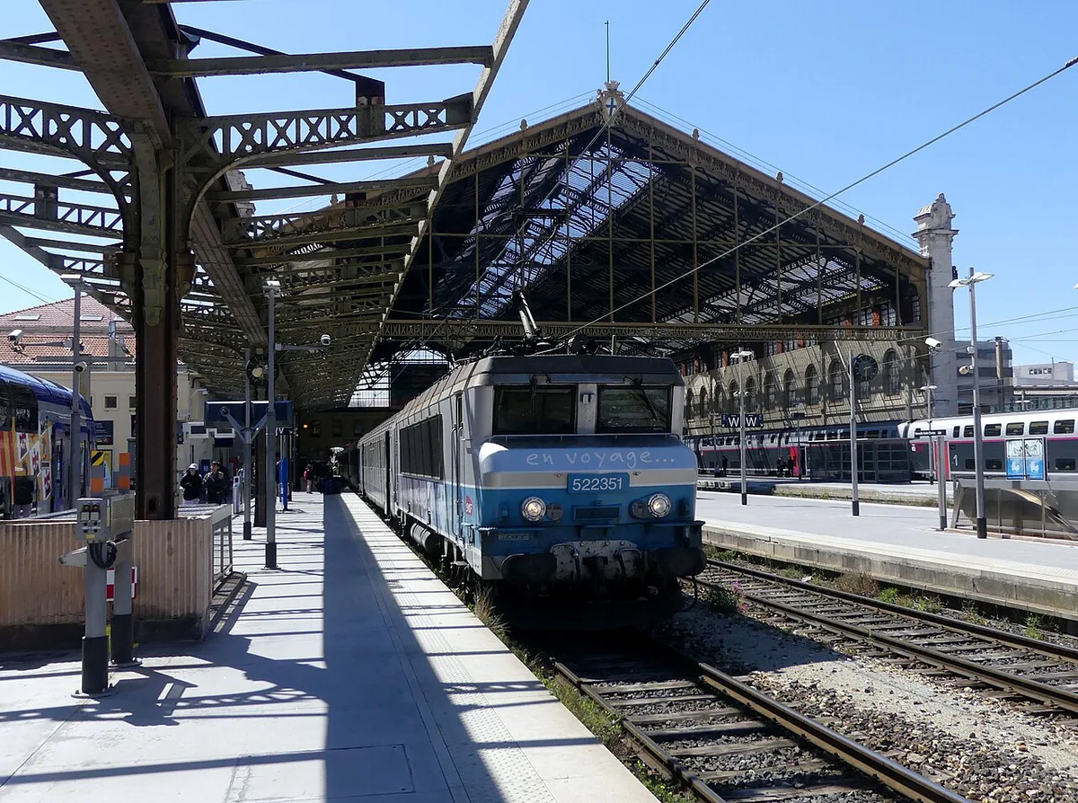
How to get to the calanques from Marseille
RTM city buses serve the southern edge of Marseille, including the Luminy and Callelongue areas. Look up the current line numbers, stops and timetable on the RTM transport site. From the bus stop you walk to the water, and the trails are uneven. Allow generous time for the return leg, since climbing back out in the afternoon heat takes longer than the descent. Boats also leave from the Vieux-Port, which suits you if you would rather skip the trail.
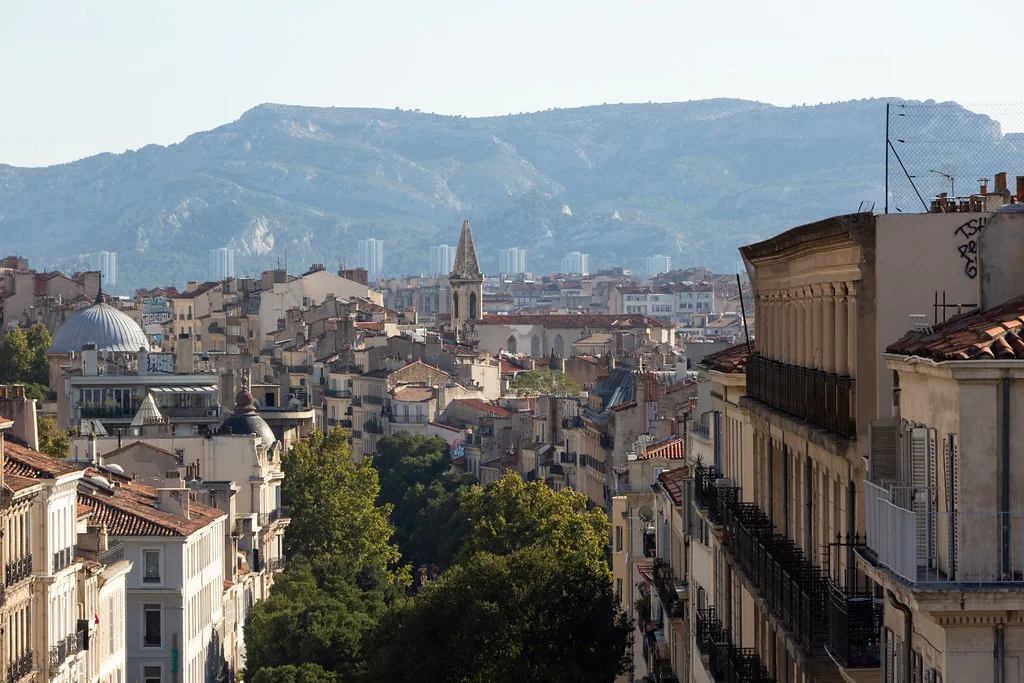
From Cassis
Cassis is the easiest base for a short walk. Port-Miou is reached on foot from town, and our guide to Port-Miou covers what you will find there. Farther calanques need more walking, and boats also run from Cassis. For the wider picture, see the overview of Cassis and its calanques. Cassis Tourisme lists visitor information and boat details. If you have time for scenery, Cap Canaille: Cliff, Route des Crêtes and How to Visit is nearby.
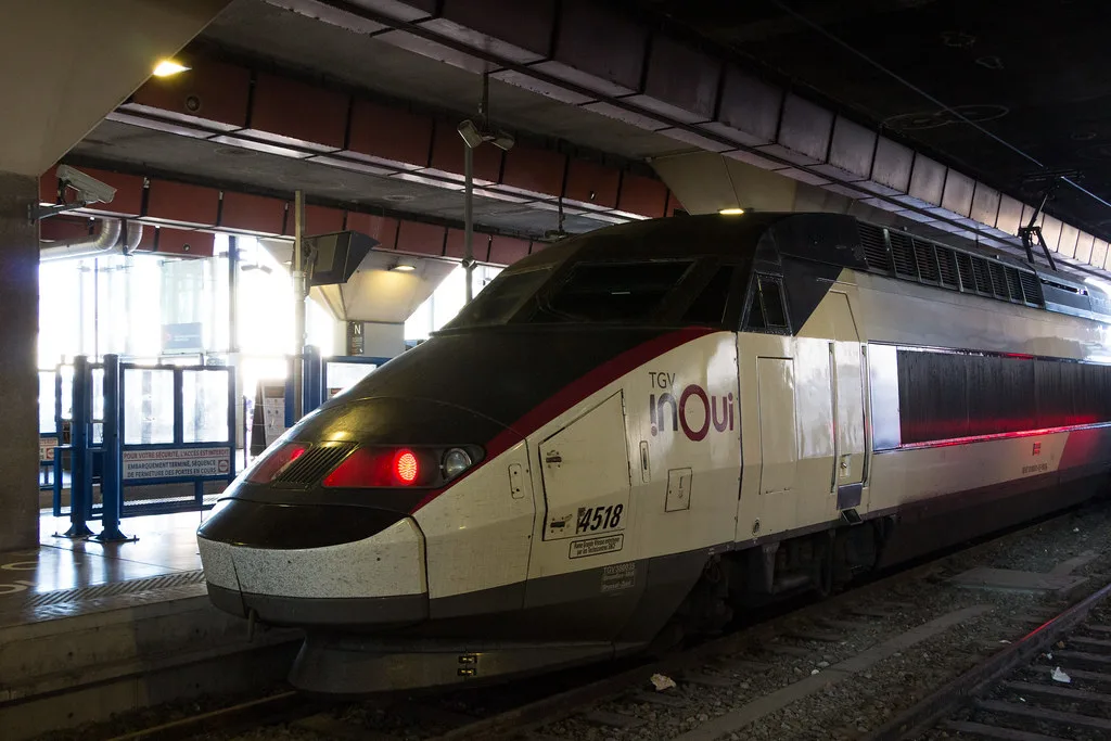
Getting to Marseille or Cassis first
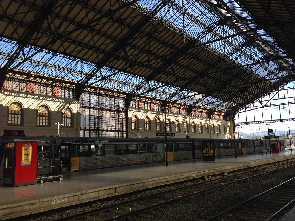
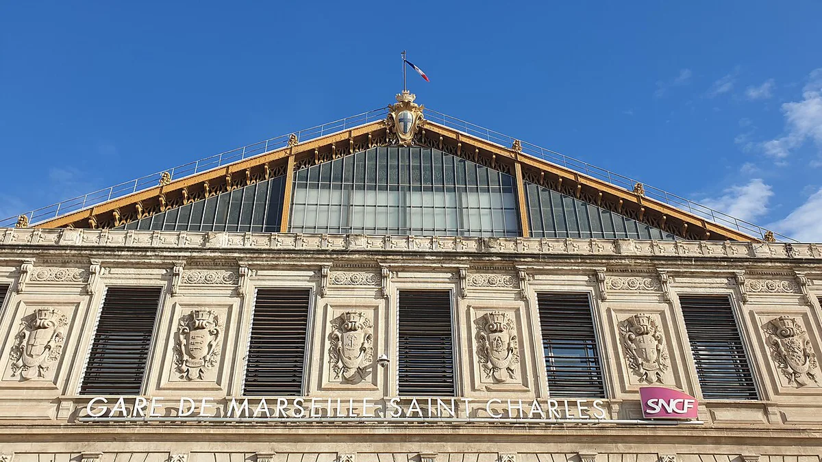
A train runs between Marseille Saint-Charles and Cassis. The Cassis station sits in the town centre area, so you still need a bus or a walk to reach the coast. From further away, such as Nice or Avignon, route through Marseille Saint-Charles first. This guide does not quote the timetable or fares; the rail operator publishes the current ones.
By car: parking and access limits
Parking near the trailheads is limited, and some roads to the calanques have access limits. Rules differ by calanque and season, so check them before you set out. Official details are on the national park website. A closure can turn a planned drive into a wasted trip, so treat checking as part of the plan. If parking looks uncertain, take the bus or a boat instead.
By boat or guided options
A boat is the easier choice when you want views without the walk. Sailings leave from the Vieux-Port in Marseille and from Cassis. Some may run only in season, so look up which operators are sailing. Our boat tour guide covers the options. If you want someone else to handle the logistics, browse guided calanques tours. A paddle is another way in, described in our kayak guide.
Closures, fire risk and rules to check before you go
In dry months, access to the massif can change from day to day because of fire risk. Check the national park website on the morning you travel. Rules on swimming, drones and dogs also apply inside the park. Our park overview summarises them. If a trail is closed, switch to a boat or another viewpoint rather than going anyway.
Best time and what to bring
Summer heat makes long walks hard, so boats suit that season better. Cooler months suit hiking. Bring plenty of water, because there are few places to buy any on the trails. Wear shoes with grip, since the paths are rocky. Most calanques need a steady walk on uneven ground, so they are not easy for anyone with limited mobility. A boat is the gentler option.
Common mistakes
These errors cause most failed trips.
- Assuming one trailhead serves every calanque.
- Arriving without enough water.
- Wearing smooth-soled shoes on rocky paths.
- Skipping the closure check on the day.
- Underestimating the climb back out.
Frequently Asked Questions
Which Calanques are located close to Marseille?
Sormiou, Morgiou, Sugiton and Callelongue are the Marseille-side calanques. Cassis-side options such as Port-Miou, Port-Pin and En-Vau are reached from the other end of the coast.
Is Calanques worth visiting?
Yes, if you pick the right access point for your fitness and season. Boats suit hot days, and walks suit cooler months. Check closures first.
Notes for your next park visit
Optional updates to our national park guides.
Read next

Keep planning
Picked from the same area