
Calanques Map: Where Each Calanque Is and How to Reach It
A plain-language calanques map from Marseille's Callelongue to Cassis, with access points, hike-or-boat trade-offs and the rules that change a route.
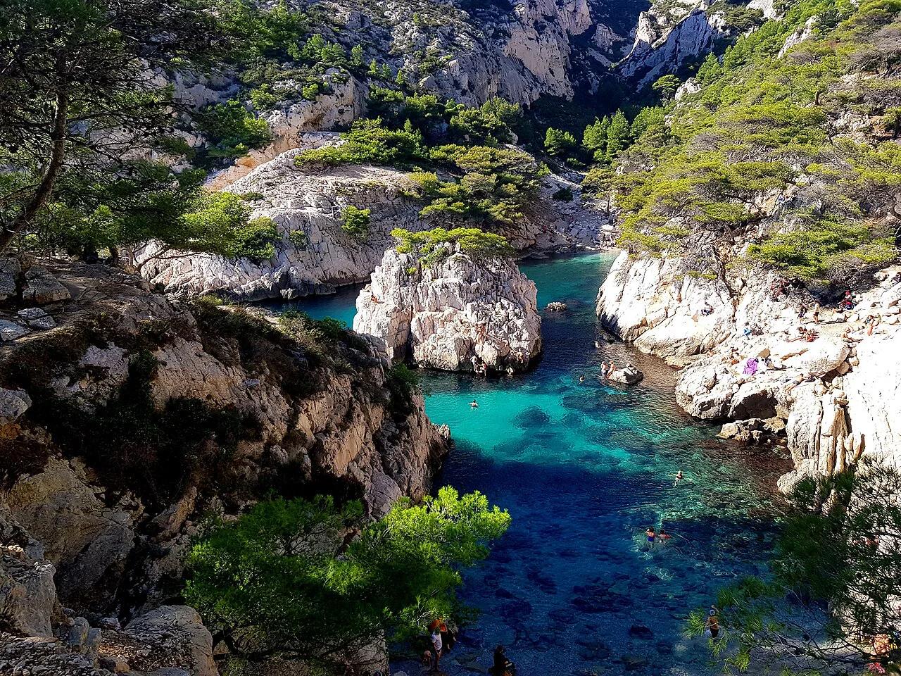
Last updated November 2026: this calanques map walks you along the coast from Marseille in the west to Cassis in the east. Callelongue, Sormiou, Morgiou and Sugiton sit on the Marseille side, while En-Vau, Port-Pin and Port-Miou lie nearer Cassis. Use it to pick a starting point before you open a trail map for 5 Best Calanques to Visit: Calanques National Park Guide.
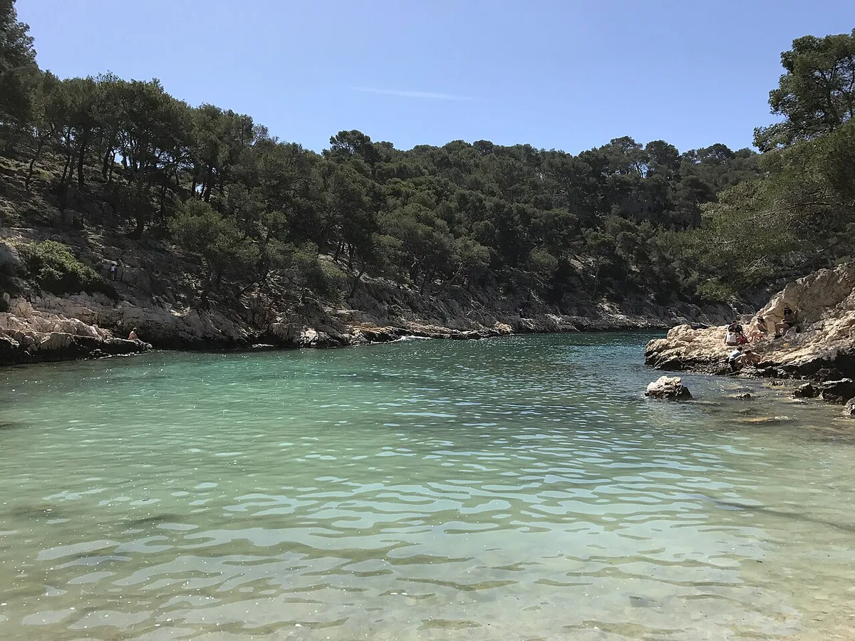
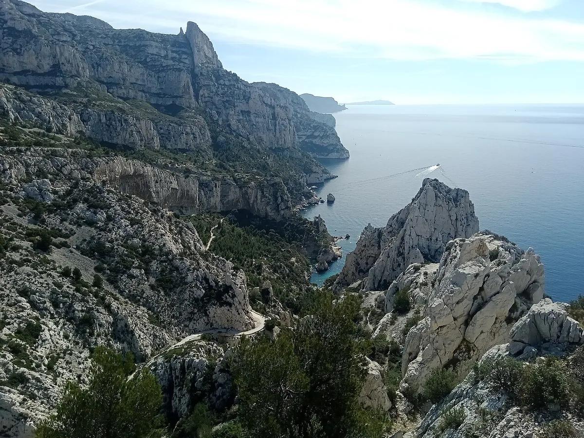
Featured image: RocketMan974, CC BY-SA 4.0, via Wikimedia Commons.
Calanques map at a glance
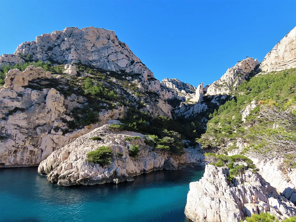
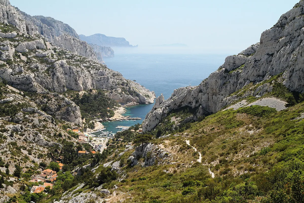
Read the coast from west to east and the order is easy to hold in your head. The inlets are cut into limestone cliffs, and each one has its own access point. Treat the table below as a text map rather than a navigation tool.
| Calanque | Side | Typical access | Where to start |
|---|---|---|---|
| Callelongue | Marseille | Walk-in from the road end | Marseille's southern edge |
| Sormiou | Marseille | Road and trail; check current access | Marseille side |
| Morgiou | Marseille | Road and trail; check current access | Marseille side |
| Sugiton | Marseille | Walking trail | Marseille side |
| En-Vau | Cassis | Hike or boat | Cassis side |
| Port-Pin | Cassis | Hike or boat | Cassis side |
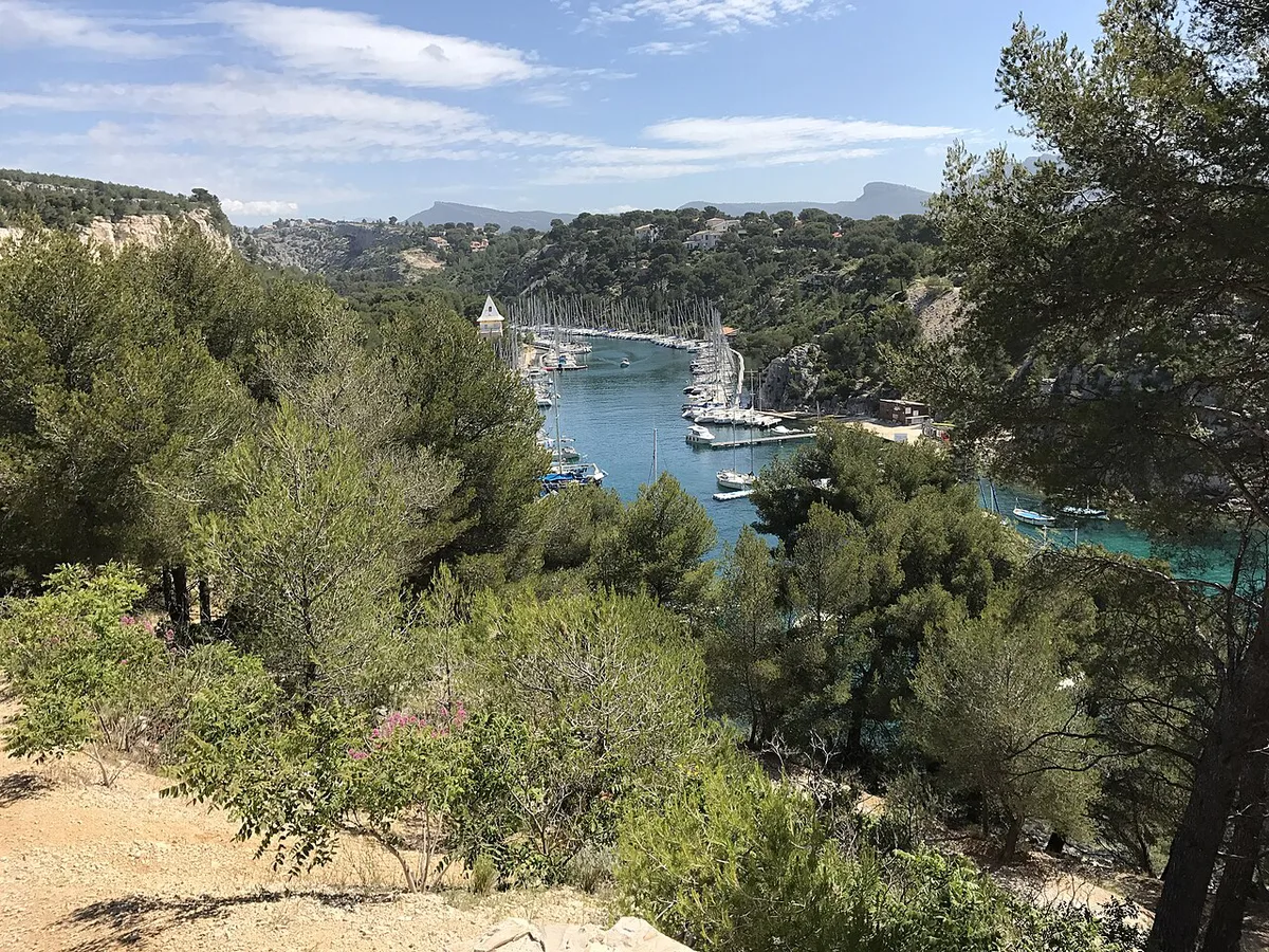
| Port-Miou | Cassis | Easiest to reach from town | Cassis |
- Marseille side: Callelongue, Sormiou, Morgiou, Sugiton.
- Cassis side: En-Vau, Port-Pin, Port-Miou.
- Port-Miou is covered in our guide to Port-Miou's inlet.
- Neighbouring inlets are grouped in the calanques near Cassis.
How to read the map: walk-in vs boat-only calanques
Every calanque on a map is a place where the sea meets a cliff. That does not mean each has a path down or a landing spot. Look for three signals before you plan around a name. A marked trail means you can walk in. A pier or beach landing means boats can stop. Neither means you are looking at a viewpoint, not a destination.
Walkers should start with transport to the trailheads. If the trail looks long, a boat tour along the coast shows En-Vau and Port-Pin from the water. Paddlers can look at kayaking the calanques. A guided calanques tour removes the route-finding.
- Mistake to avoid: assuming every named inlet has a walkable path or landing point.
- Mistake to avoid: relying on a phone map with no signal.
- Mistake to avoid: ignoring seasonal access rules.
Which area to start from
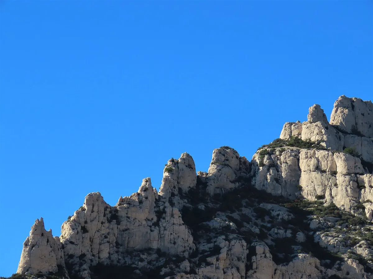
The Marseille side suits you if you are staying in the city and want several short inlets within reach. The Cassis side suits you if you want the dramatic cliffs of En-Vau and Port-Pin. Port-Miou gives the gentlest introduction from town. Skip the Cassis hikes if you cannot manage steep, rocky trails or have no suitable shoes. Choose a boat tour instead.
| Marseille side | Cassis side | |
|---|---|---|
| Calanques | Callelongue, Sormiou, Morgiou, Sugiton | Port-Miou, Port-Pin, En-Vau |
| Base | Marseille | Cassis |
| Easiest start | Short trail or road-end inlet | Port-Miou |
| Hardest to reach | Sugiton by trail | En-Vau by trail |
| Season | Check fire-risk rules in summer | Check fire-risk rules in summer |
Time and effort trade-offs
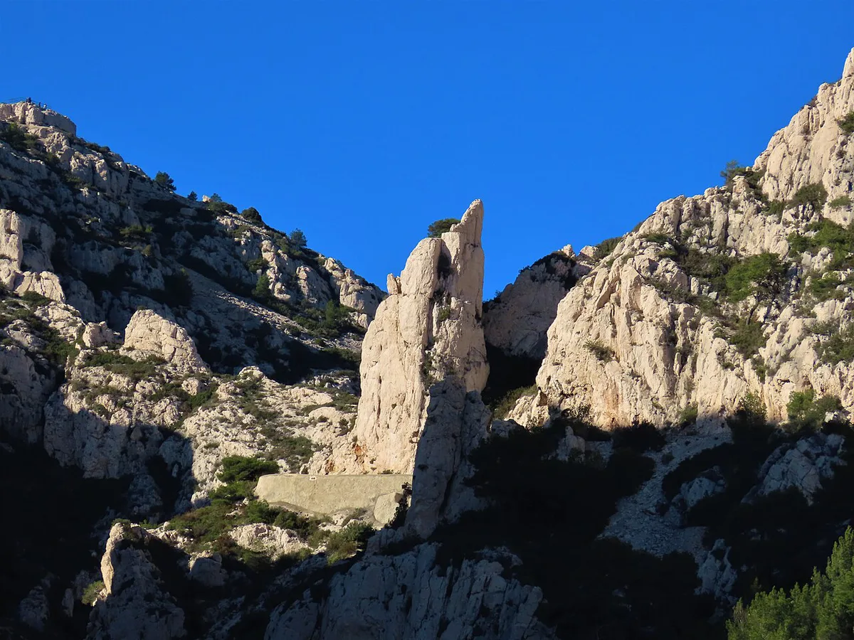
Walking times depend on your trailhead, your pace and the weather, so published figures are indicative only. Short, moderate and demanding are the useful labels here. Port-Miou is the short option. Sugiton and Sormiou-side walks are moderate. En-Vau and Port-Pin by trail are the demanding ones. Add extra time for the return climb, because the way back is uphill. Boat tours trade effort for a fixed departure time.
Rules, closures and booking that change your route
Access to the massif can be restricted in summer because of wildfire risk. Rules can also limit parking or entry at specific sites. Check the official park site before you go. The same page is the place to look for trail and reservation notices. For Cassis parking and local access, see Cassis Tourisme. For bus links on the Marseille side, check RTM Marseille for current routes.
Maps to download or use offline
Start with the maps published by the park authority on its official site. For detailed topography, IGN's maps are the standard French option. Download your chosen map before you leave town. Signal inside the massif can drop out, so a paper copy or saved offline file is safer than a live map. A pre-saved route also helps when a trail turns out to be closed.
Beyond the calanques
If you have time after the inlets, Cap Canaille: Cliff, Route des Crêtes and How to Visit gives a clifftop view of the same coast. For overall rules and context, return to our national park guide.
Frequently Asked Questions
Which Calanques are located close to Marseille?
Callelongue, Sormiou, Morgiou and Sugiton sit on the Marseille side. Check the park's official site for current access rules before you set out.
What is the meaning of "Calanque" in English?
A calanque is a steep-sided rocky inlet cut into a limestone coast. The word is used for the inlets between Marseille and Cassis.
How can I take a boat trip to the Calanques from Marseille?
Boat tours are an easy way to see the cliffs without hiking. Our calanques boat tour guide covers the options.
Notes for your next park visit
Optional updates to our national park guides.
Read next

Keep planning
Picked from the same area