Cairngorms Map: Where Everything Is and Which Map to Use
Understand the Cairngorms National Park layout, choose the right map for driving, walking or wildlife, and plan bases, access and weather with practical trade-offs.
Last updated November 2026. A good Cairngorms map answers two questions: where the park's towns and roads sit, and which map suits your job. Drivers, walkers and wildlife visitors each need a different one. Start here, then use our Cairngorms National Park guide for the wider picture.
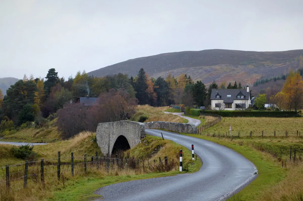
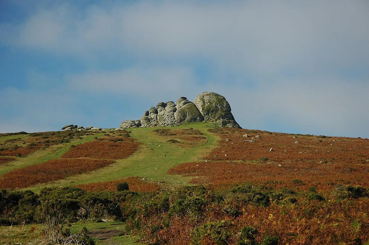
Featured image: gailhampshire, CC BY 2.0, via Flickr.
Quick answer: the Cairngorms map at a glance
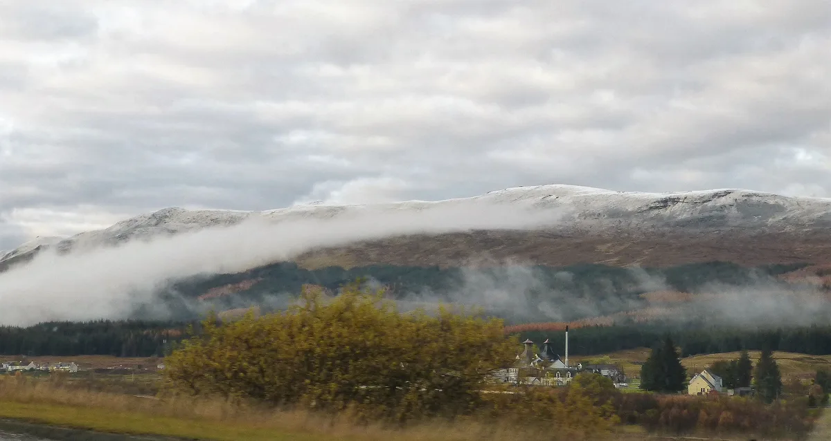
Picture the park as a high, exposed plateau ringed by glens and towns. Aviemore and Glenmore sit on the north side, Speyside lies to the north-east, and Braemar, Ballater and Balmoral anchor Royal Deeside to the south-east. Drivers need a road map and sat-nav. Walkers need an Ordnance Survey paper or digital map. Anyone going above the tree line also needs a compass and the day's mountain forecast. The park authority publishes visitor information and maps on its official visiting pages, which is a sensible first download for any trip.
How the park is laid out
Mental geography beats memorising place names. Treat the park as three sides around one big mountain block.
- North side: Aviemore is the main hub for trains, shops and activity operators. Glenmore and Rothiemurchus sit just up the road toward the mountains.
- Speyside: Grantown-on-Spey and Tomnavoulin lie to the north-east, with whisky and river scenery rather than high mountains.
- Royal Deeside: Braemar is the highest-feeling village on the south-east side, and Ballater sits further down the valley.
- Balmoral: Balmoral Castle Visitor Guide: Tickets, Access and Tips sits between Braemar and Ballater on Deeside.
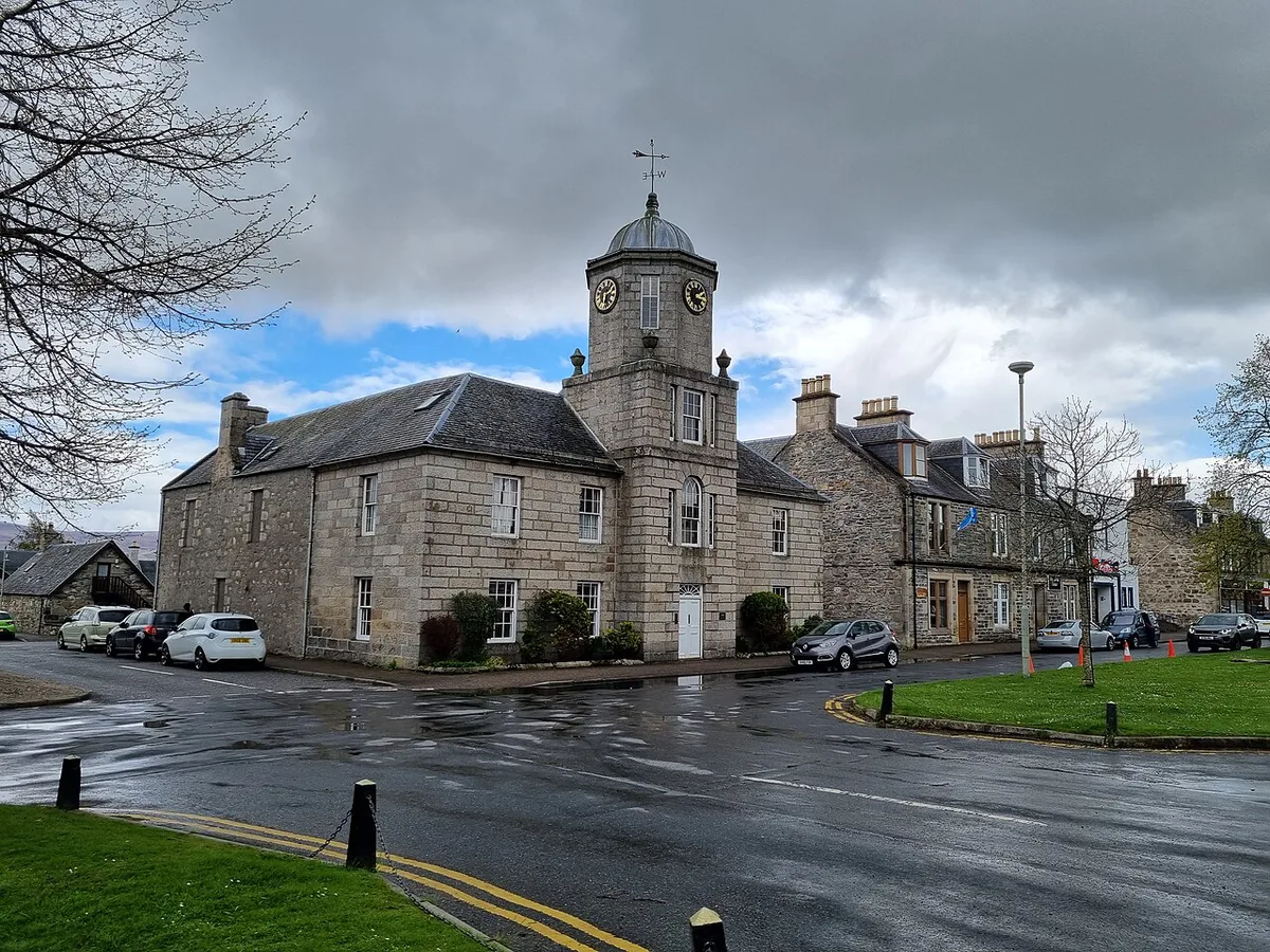
- Strathspey spine: Kingussie lies south-west of Aviemore along the A9 corridor.
Which Cairngorms map to use
No single map does every job. This table matches the common needs to a map type. Check scale and sheet coverage at the point of purchase, because coverage changes between editions.
| Job | Map type | Best for | Limits |
|---|---|---|---|
| Driving and base choice | Road atlas or phone navigation | Linking Aviemore, Grantown-on-Spey, Ballater and Braemar | Shows little about paths or terrain |
| Walking | Ordnance Survey Explorer or Landranger, paper or app | Navigating paths and contours | Needs map-reading skill; battery matters on the app |
| Winter plateau | OS map plus mountain weather and avalanche reports | Experienced winter walkers | A map alone cannot show current conditions |
| Cycling and family trails | Local trail leaflet or estate map | Low-level routes at Rothiemurchus and Glenmore | Covers a small area only |
| General visiting | Park authority visitor map | First-time planning | Not detailed enough for hill navigation |
Key sights to find on the map
Pin these places before you arrive. They explain why the layout matters.
- Cairngorm Mountain Guide: Funicular, Skiing & Walks: the access point for the high plateau, reached by a road up from Glenmore. Check the official site for current operations.
- Cairngorm Funicular: Is It Worth It? Tickets, Access & Tips: the railway option for reaching the upper station without a hike.
- Highland Wildlife Park: Visit Planning Guide (Time, Tickets, Getting There): a drive-through and walk-round wildlife site on the Aviemore side of the map.
- Cairngorm Reindeer: Hill Visits, Paddock & Planning Guide: the herd is based near Glenmore, so it pairs with a forest visit.
- Glenmore Forest Park: Loch Morlich, Trails & Planning Tips: lochside and woodland walking at low level.
- Rothiemurchus: estate trails with cycling and family options, listed on the estate website.
- Balmoral: the royal estate on Deeside, with visitor details on the Balmoral Castle site.
Reading the terrain and staying safe
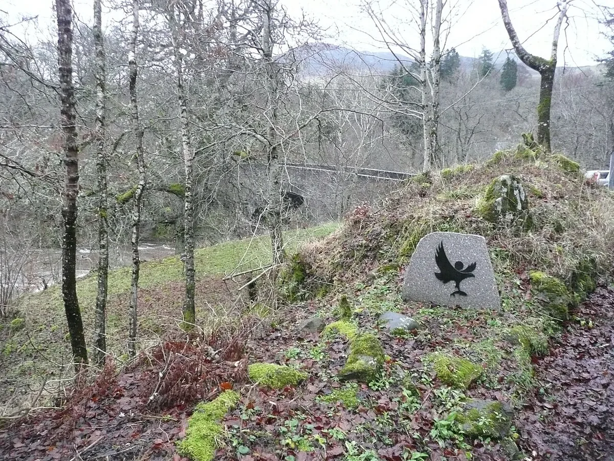
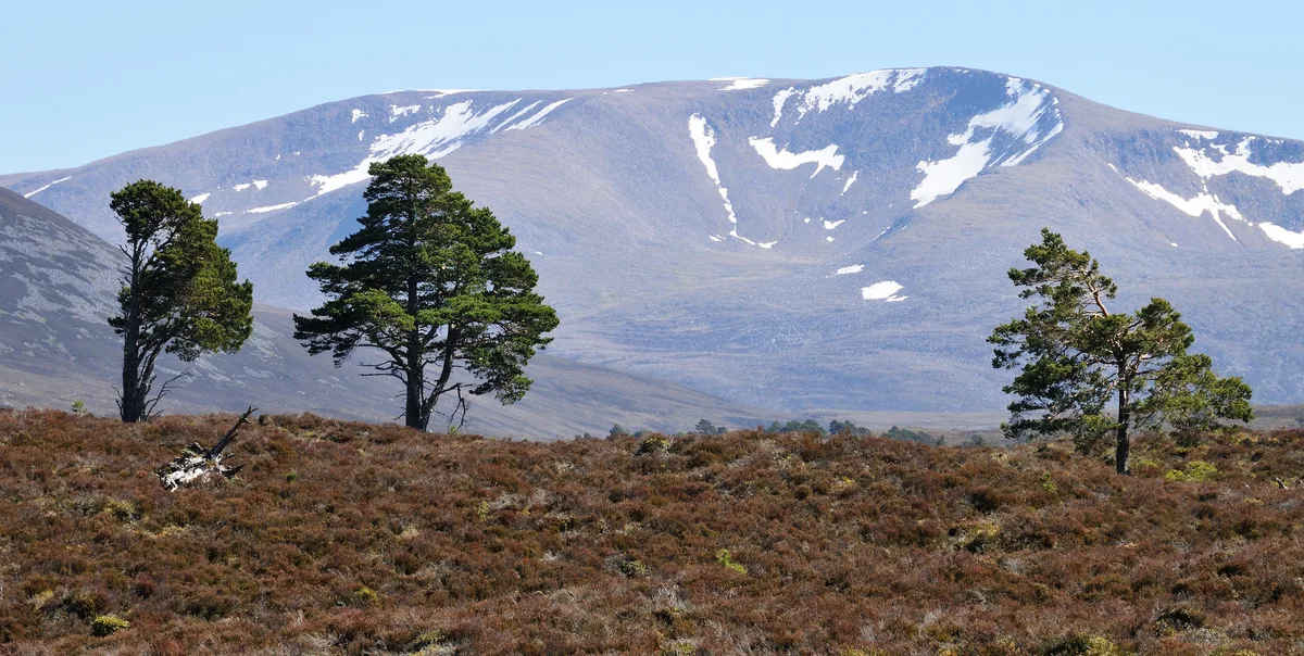
Contour lines tell the real story. The high ground is a broad, open plateau, so wind, cloud and cold arrive fast with little shelter. A short line on a map can hide a long, committing day, because distance on paper ignores slope, bog and weather. Learn the key difference between road, track and path. A road carries traffic, a track is usually wide but unsurfaced, and a path may fade or flood. Beginners should stay on low-level routes around Glenmore and Rothiemurchus. Before any hill day, read the mountain forecast, and in winter the avalanche report. Our Cairngorms weather guide explains how conditions shift through the year.
Getting around and offline navigation
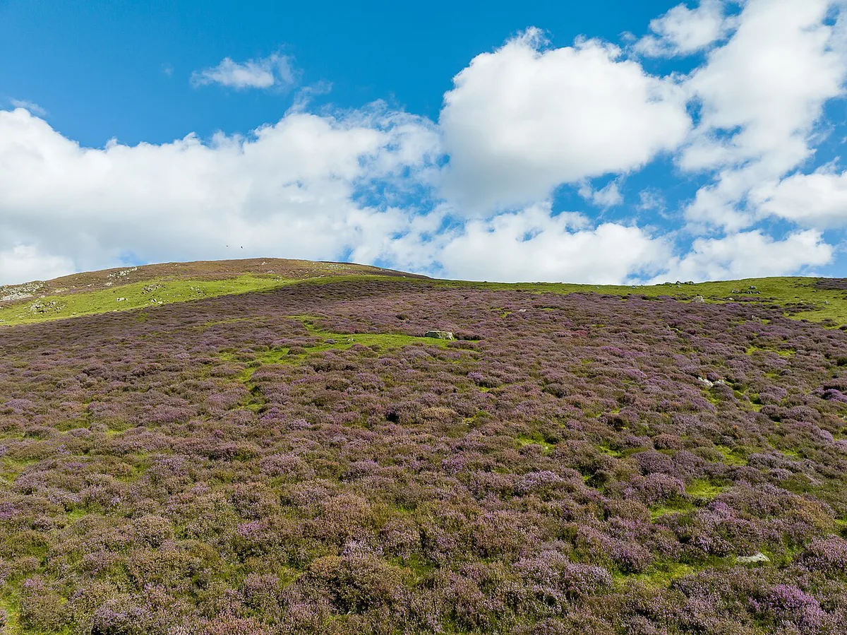
A car gives the most freedom, especially for Deeside and Speyside. Without one, plan around Aviemore, which has rail access, and check current bus links before you book. Phone signal is patchy in glens, so download offline maps before you leave a town. Carry a paper map and compass as backup, since batteries fail in the cold. Our guide to 8 Things To Do in Aviemore: Best Picks, Costs & Tips lists options that need no car. Parking and funicular access affect your day, so read the operator's pages first.
Where to base yourself
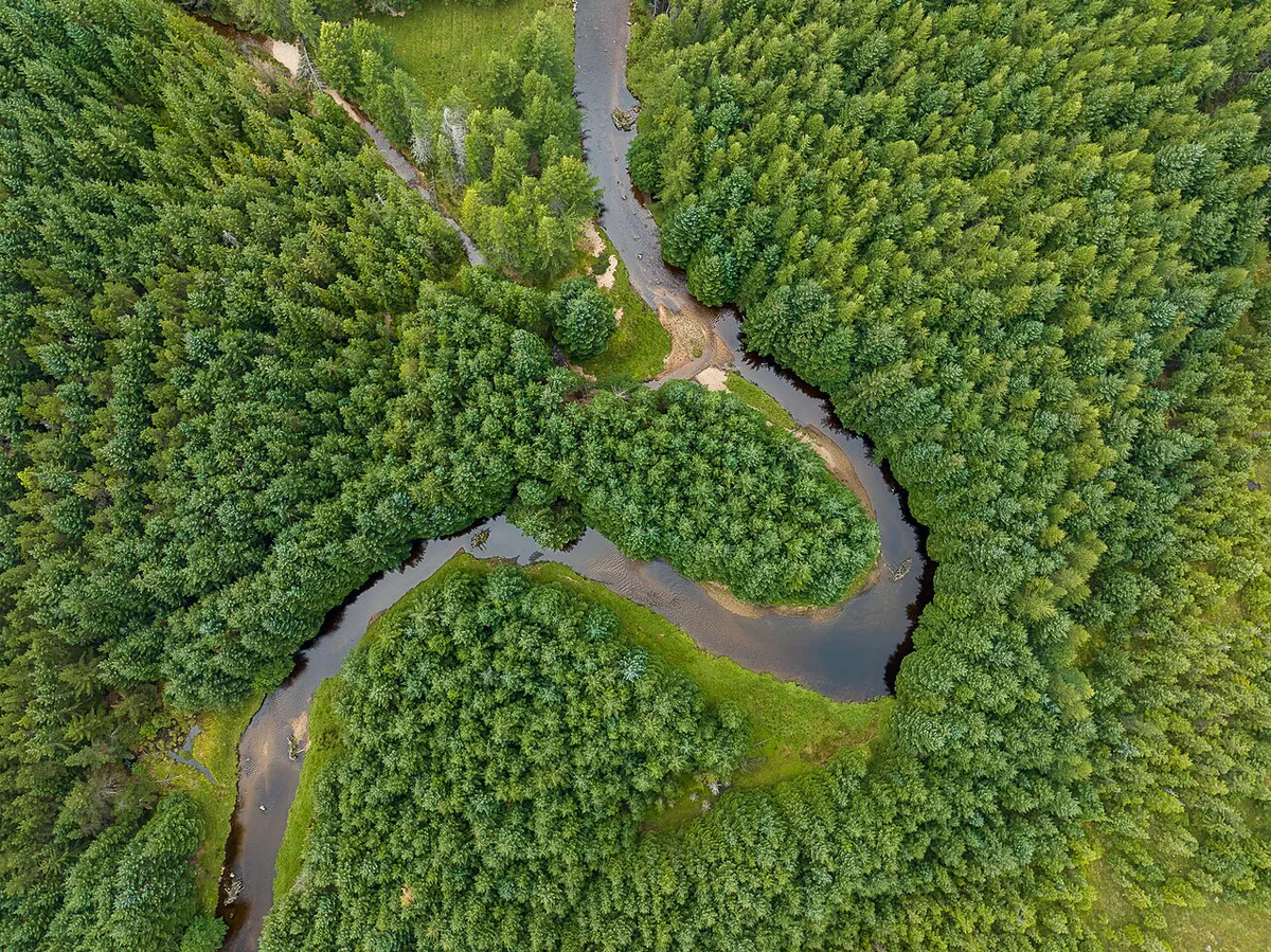
Pick a base by traveller type rather than by distance alone. Compare options in our Cairngorms hotel guide.
Kingussie sits southwest of Aviemore on the A9 corridor, so a Strathspey base and the Aviemore hub share one road.
| Base | Best for | Trade-off |
|---|---|---|
| Aviemore | First-timers, no-car visitors, families | Busiest area; furthest from Deeside |
| Grantown-on-Spey | Quiet Speyside stays and whisky | Fewer activity operators nearby |
| Ballater | Balmoral and Deeside | Further from the mountain access road |
| Braemar | Hillwalkers and Deeside scenery | Remote; fewer services |
Map the Main Driving Corridors
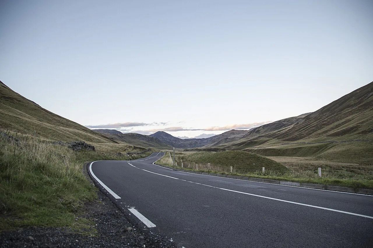
Use the main roads to turn the park map into a realistic day plan. The A9 is the Strathspey spine, linking Kingussie with Aviemore and the north-side services. It is the most useful reference line when choosing accommodation or arriving by car.
The A95 also runs through or beside the park area, so it helps drivers connect the northern and Speyside side of the map. From Aviemore, Glenmore and Rothiemurchus sit toward the mountain access road. Deeside destinations require a separate journey around the mountain block.
Do not judge a visit by straight-line distance alone. The plateau has no through road, and routes between Aviemore, Braemar, Ballater and Balmoral follow glens rather than crossing the high ground. Pin your base, parking area and final walking start before setting out.
Frequently Asked Questions
Where exactly are the Cairngorms?
The Cairngorms National Park lies in the eastern Highlands of Scotland. Aviemore and Strathspey form the north side, and Braemar and Ballater anchor Royal Deeside to the south-east.
What is the best base to explore the Cairngorms?
Aviemore suits most first-time visitors, especially without a car. Choose Ballater or Braemar if Balmoral and Deeside are your priority.
Is it possible to drive through Cairngorms National Park?
Yes. Main roads including the A9 and A95 run through or beside the park. The high plateau itself has no through road, so reaching it means a walk or the funicular.
Is it worth visiting Cairngorms?
Yes, if you want mountain scenery, wildlife and forest walks within a short drive of each other. Pick a base first, then match your map to your activity.
Notes for your next park visit
Optional updates to our national park guides.
Read next
Keep planning
Picked from the same area