
Wicklow Mountains National Park: Glendalough & Hikes
Plan a visit to Wicklow Mountains National Park: getting there from Dublin, Glendalough and Wicklow Way options, weather tips and what to expect.
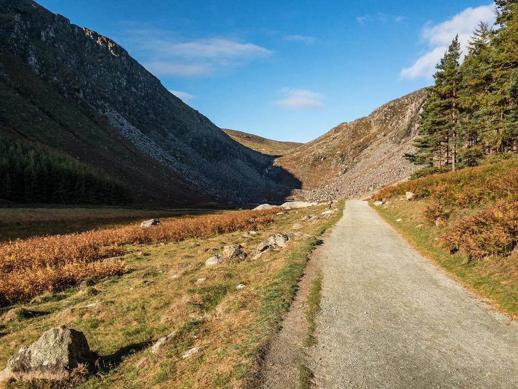
Last updated November 2026: Wicklow Mountains National Park is Ireland's largest upland national park, south of Dublin. Glendalough is the main visitor hub, and the Wicklow Way long-distance trail passes through the area. It suits first-time visitors who want a monastic site and two lakes, and walkers who want mountain routes within reach of the capital.
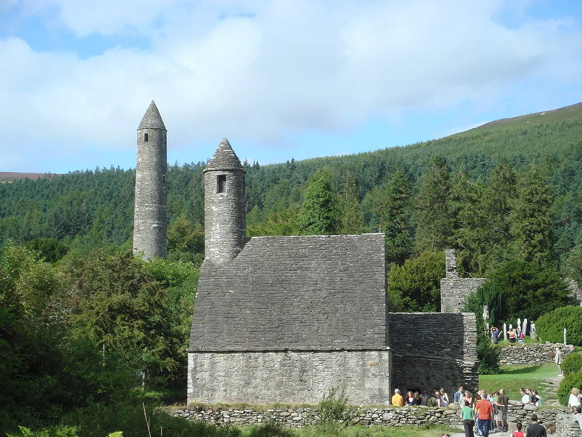
Featured image: fabianwalden, CC BY 2.0, via Flickr.
Wicklow Mountains National Park at a glance
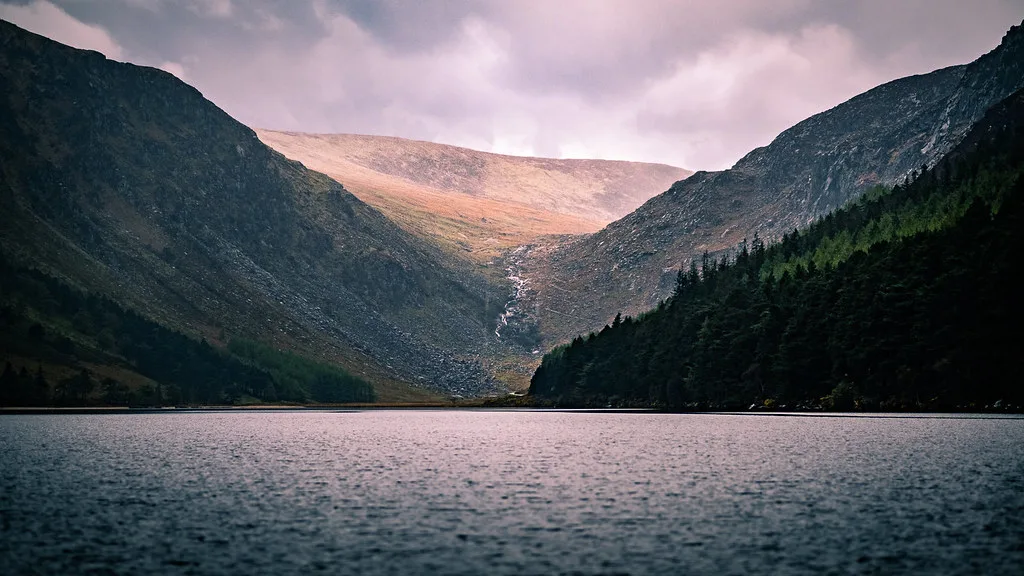
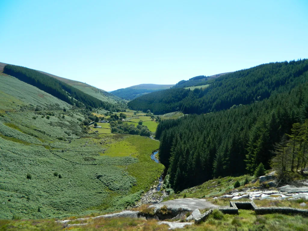
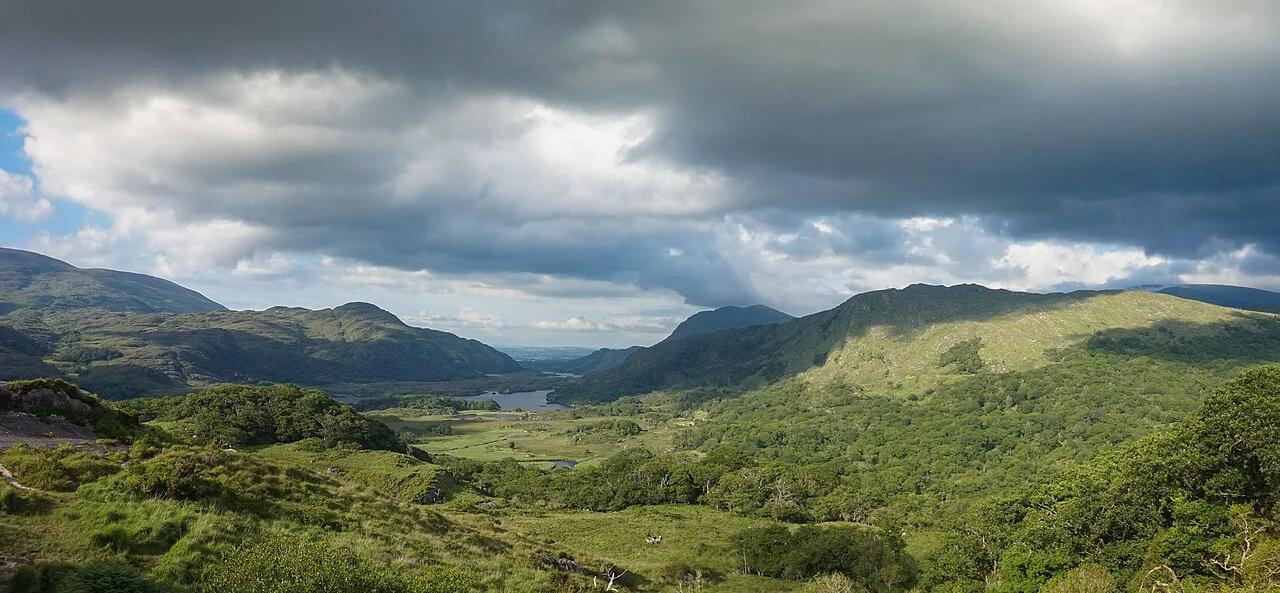
Wicklow Mountains National Park sits in County Wicklow, south of Dublin. Rounded mountains, glacial valleys, blanket bog and forest shape the landscape. It is the park closest to the capital among those in our guide to 6 National Parks in Ireland: Which to Visit, Costs and Routes. Most visitors start at Glendalough, but the park is far bigger than that one valley.
- Nearest hub: Glendalough, with the Upper Lake car park and the visitor centre
- Other access points: Laragh, Roundwood and Glenmalure
- Best use: a day trip from Dublin, or a base for several days of walking
- Long trail: the Wicklow Way, which passes through the uplands
Best things to do in the park
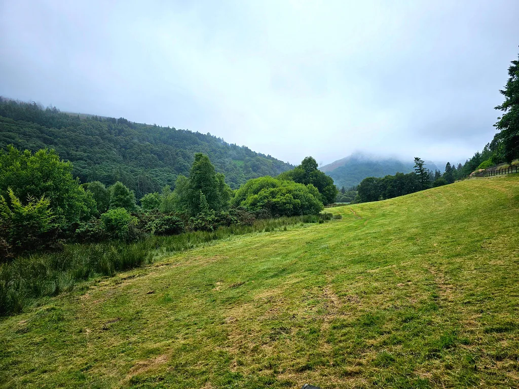
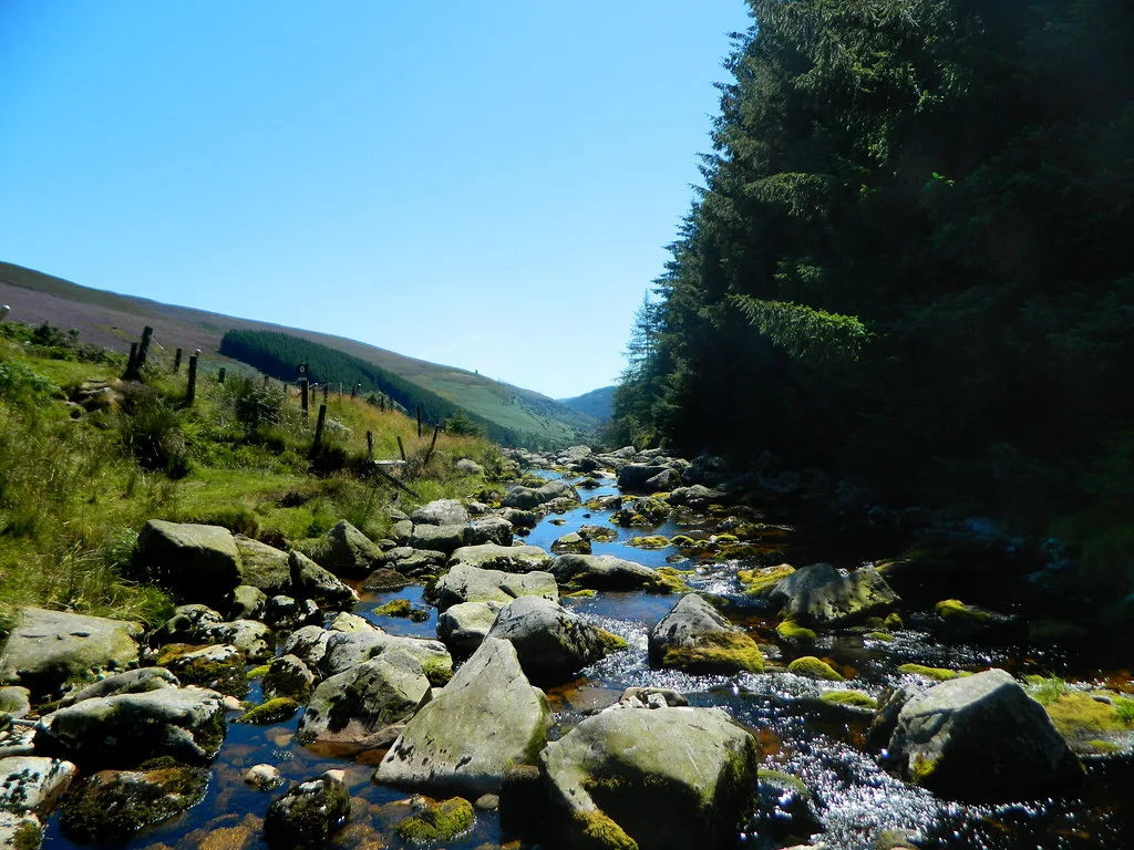
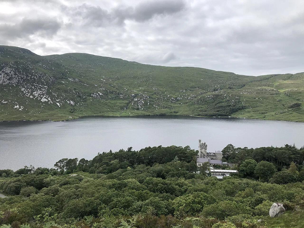
Glendalough is the obvious first stop. Glendalough's monastic settlement sits beside the Upper and Lower Lakes, and short walks link them. Wicklow Way sections give you longer days on mountain tracks, forest paths and boardwalks. Glenmalure is a quieter valley for walkers who want fewer people and are comfortable with rougher ground. Powerscourt Gardens and Mount Usher Gardens are popular add-ons nearby. Treat them as separate stops rather than part of the park walk, and check boundaries on the official map if that matters to you.
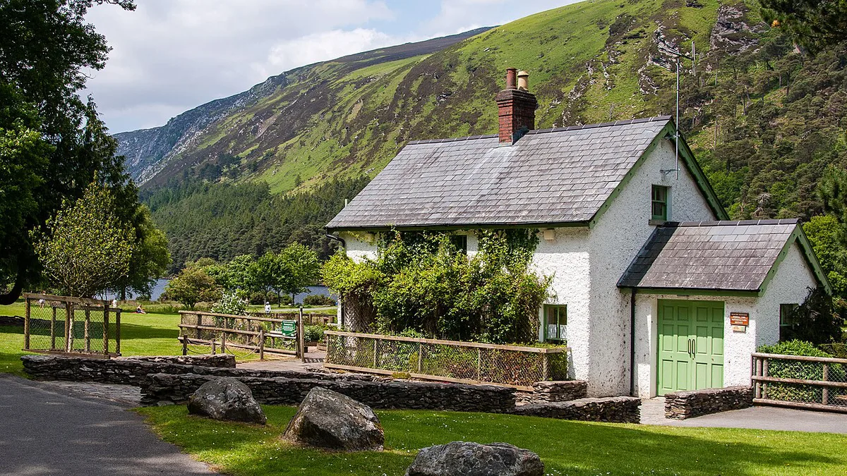
- Glendalough: monastic settlement, Upper Lake and Lower Lake, best for first visits
- Wicklow Way sections: best for steady walkers with a map and weather awareness
- Glenmalure: quieter valley, best for experienced walkers
- Powerscourt and Mount Usher: gardens near the park, best as a wet-weather or half-day extra
Glendalough walking trails: Spinc, Miners' Road and waterfall
Glendalough's marked walks start from the visitor centre and the Upper Lake car park. They are colour-coded, so you can match a route to your time and fitness. Check the trail maps on site and the NPWS park page for current closures before you set off.
- Poulanass Waterfall walk: a short woodland loop from the visitor centre area. It suits families, and a wet day when you only have an hour or so.
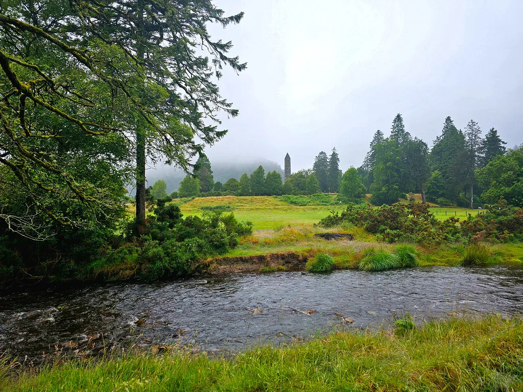
- Lower Lake and monastic site: flat, easy paths. This is the best option if you mainly want the round tower and the old stone churches.
- Green Road and Upper Lake: a gentle, mostly level route along the valley to the Upper Lake. Allow one to two hours at an easy pace.
- Miners' Road: follows the old lead-mining track up the valley. The ground is rougher in places and the views open up as you climb.
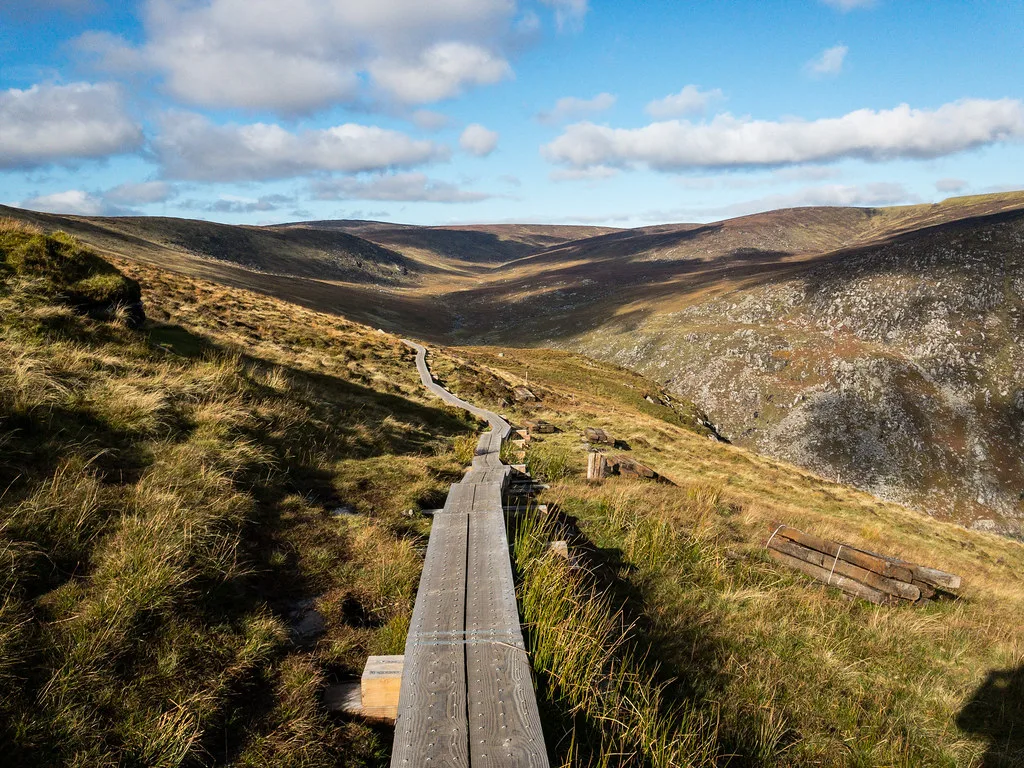
- Spinc and boardwalk route: the classic upland loop. It climbs a long stepped boardwalk above the Upper Lake and returns along the Glenealo valley. It is a strenuous half-day walk, so allow roughly three to four hours.
Choosing a route: the Spinc loop rewards clear weather with the best lake views, but boardwalks and steps get slippery in rain. In poor visibility, stay on the lower valley paths and save the ridge for another day.
Arrive early at weekends and in summer. The main car park fills up, and the valley paths feel much quieter before late morning.
How to plan your time
Match your base to your time, fitness and transport. Glendalough rewards a half day without a car. Add a scenic drive and lake stops if you have a car and a few extra hours. Serious walkers should plan full days on Wicklow Way sections or in Glenmalure. The trade-off is simple. Glendalough is the busiest and most accessible area, while quieter upland walking takes more effort and better navigation.
| Option | Time needed | Transport | Difficulty | Best season |
|---|---|---|---|---|
| Glendalough day trip | Half day to full day | Bus, tour or car | Low | Dry, settled weather |
| Wicklow Way section | Full day | Car or planned transfers | Medium to high | Late spring to early autumn |
| Glenmalure valley | Full day | Car strongly preferred | Medium to high | Dry spells, with good daylight |
| Drive-through with stops | Half day | Car | Low | Any season, with clear views |
Wicklow Way stages and overnight stops
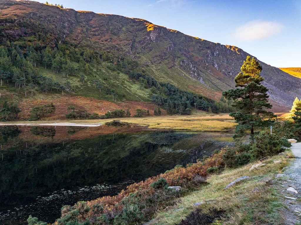
The Wicklow Way is Ireland's oldest waymarked long-distance trail. It runs about 127 km from Marlay Park in south Dublin to Clonegal on the Carlow border. Most walkers take six to eight days, and a full end-to-end walk is a very different trip from a Glendalough day out.
| Stage | Typical overnight | What to expect |
|---|---|---|
| Marlay Park to Knockree | Knockree | Leaves the suburbs for forest and open hillside |
| Knockree to Roundwood | Roundwood | Moorland and views over Lough Tay and Djouce |
| Roundwood to Glendalough | Glendalough or Laragh | Forest tracks, then the descent into the valley |
| Glendalough to Glenmalure | Glenmalure | A high, exposed day over the ridge between the two valleys |
| Glenmalure to Aghavannagh | Aghavannagh | Remote, with few services |
| Aghavannagh to Clonegal | Shillelagh, Tinahely or Clonegal | Lower farmland and forest on the way to the finish |
Stage ends and village stops vary by operator, so check the official Wicklow Way trail information before you book beds.
- Book accommodation early for spring and summer weekends, because beds are limited in the smaller villages.
- Carry food and water on the Glenmalure and Aghavannagh sections, where shops are scarce.
- Walk the Glendalough to Glenmalure ridge only in settled weather, with a map and a charged phone.
Getting there and getting around
Glendalough can be reached from Dublin by car, by bus or on an organised tour. Check current routes and journey times with Transport for Ireland, and expect remote valleys such as Glenmalure to be much easier with a car.
Costs, access and facilities
Glendalough has a visitor centre and an Upper Lake car park. Entry, parking charges, toilets and food arrangements are listed on the NPWS park page, so check there for current details.
Weather, safety and what to wear
Mountain weather changes fast, and bog and upland ground stays wet. Wear waterproof boots with good grip and carry a rain layer even on a clear morning. Mobile signal can fail in the valleys, so carry a paper map or a downloaded offline map. Plan your route to finish well before dark. Mountaineering Ireland and Met Éireann publish mountain safety advice and forecasts. Avoid these common mistakes:
- Underestimating weather and daylight on upland routes
- Treating Glendalough as the whole park
- Relying on a phone map without signal
- Arriving at peak times without a parking plan
Where to stay
Pick a base by how you travel. Glendalough and Laragh put you beside the main trails and suit walkers without a car. Roundwood and other nearby villages suit drivers who want quieter evenings. Staying in Dublin works for a single day trip but costs you travel time at both ends. Choose by walking plan and transport rather than by any single property.
Wicklow Mountains vs other Irish national parks
Wicklow wins on proximity to Dublin and ease of access. For remoter, more rugged landscapes, look at Glenveagh National Park Guide: Walks, Castle & Tips in the north-west. Wild Nephin National Park: Visitor Guide to Mayo's Dark Sky Park offers a wilder, less developed feel. Ballycroy National Park: Visitor Guide, Getting There & Wild Nephin is another option for open bog and mountain. The Burren, Ireland: Visitor Guide, Time & Tips is a different landscape of limestone karst rather than glacial valleys. If you are choosing between parks, our ranking of Ireland's national parks helps you compare them.
Frequently Asked Questions
How long does it take to hike the Wicklow Way?
The Wicklow Way is a long-distance trail, so it is normally walked in stages over several days. Check the official Wicklow Way trail information for current stage lengths and recommended breaks.
Notes for your next park visit
Optional updates to our national park guides.
Read next
Keep planning
Picked from the same area