
Twelve Bens, Connemara: Peaks, Walks and Planning Guide
A practical guide to the Twelve Bens in Connemara: the main peaks, which walk suits your fitness, how to get there, and safety tips for the ridges.
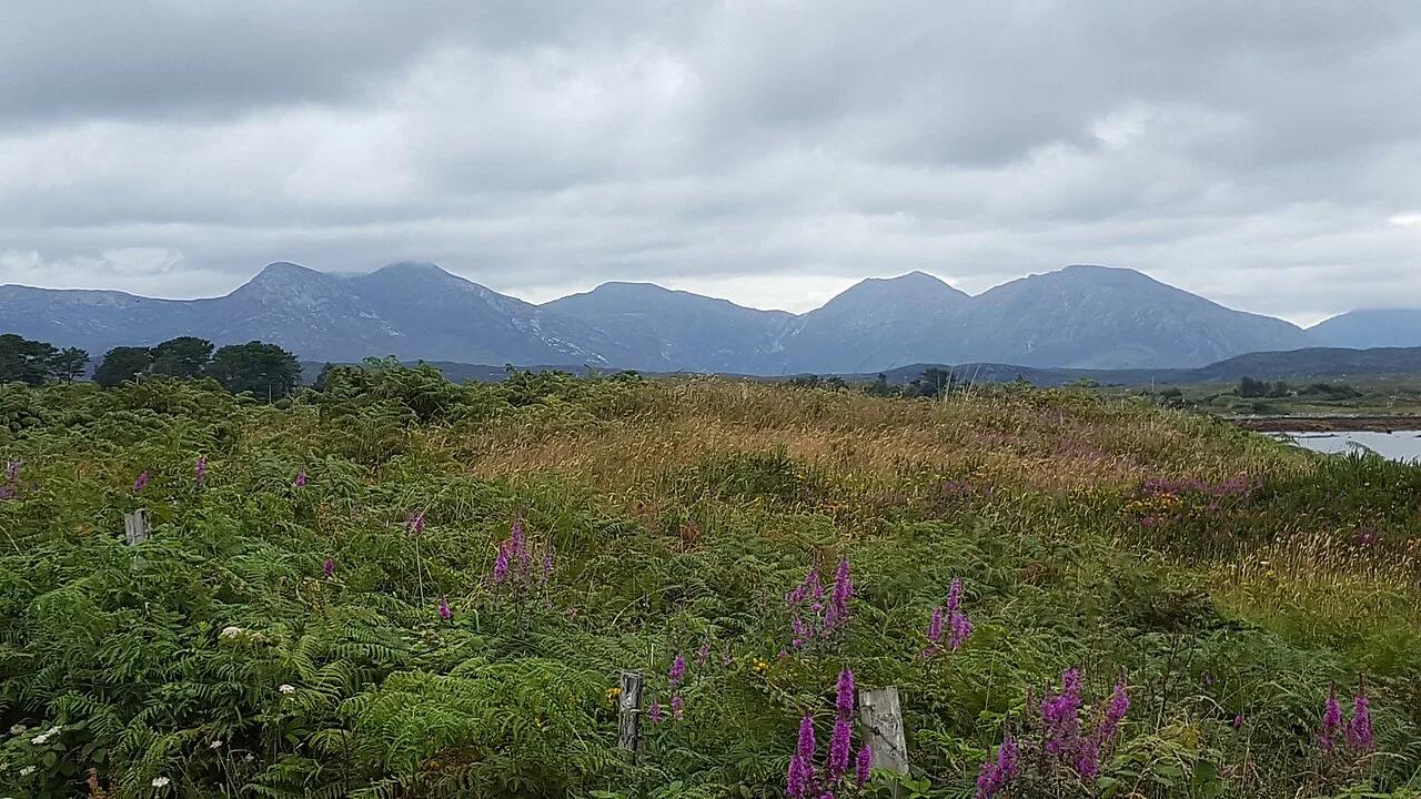
Last updated November 2026: the Twelve Bens (Na Beanna Beola) are a quartzite mountain range in Connemara, County Galway, and they dominate the skyline of 8 Best Things to Do in Connemara National Park. Benbaun is the highest summit at 729 m (2,392 ft), and the range is best known for the Glencoaghan Horseshoe. Use this guide to match a walk to your fitness, then plan access, weather and a base.
Featured image: Roy Murray, CC BY 2.0, via Wikimedia Commons.
Twelve Bens at a Glance
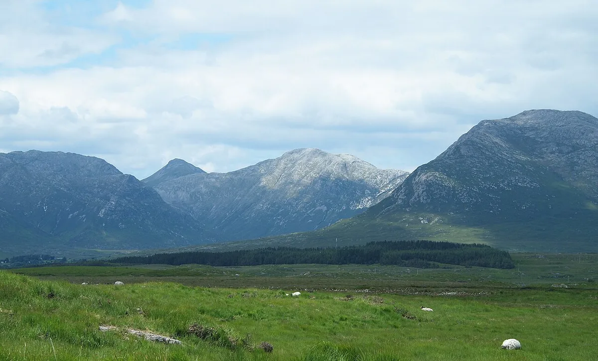
Sharp quartzite summits and glaciated valleys give the Twelve Bens a rugged profile despite modest heights. Benbaun tops out at 729 m (2,392 ft). MountainViews lists 38 peaks above 100 m across the wider range, and 22 of those sit in the core massif.
Only part of the range lies inside the park boundary. Walkers also cross neighbouring land where climbing access is customary. Easy options start from Letterfrack, while the big ridge days need a full day, a map and real mountain experience.
- Irish name: Na Beanna Beola, "the peaks of Beola"
- Highest peak: Benbaun, 729 m (2,392 ft)
- Best-known route: Glencoaghan Horseshoe, reported at about 16 km (9.9 mi)
- Easiest option: Diamond Hill Loop, reported at 7.6 km (4.7 mi)
Where the Twelve Bens Are and How to Get There
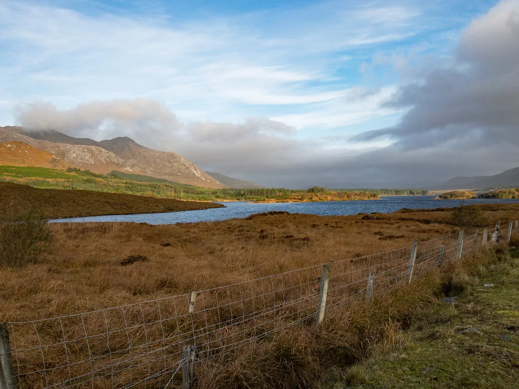
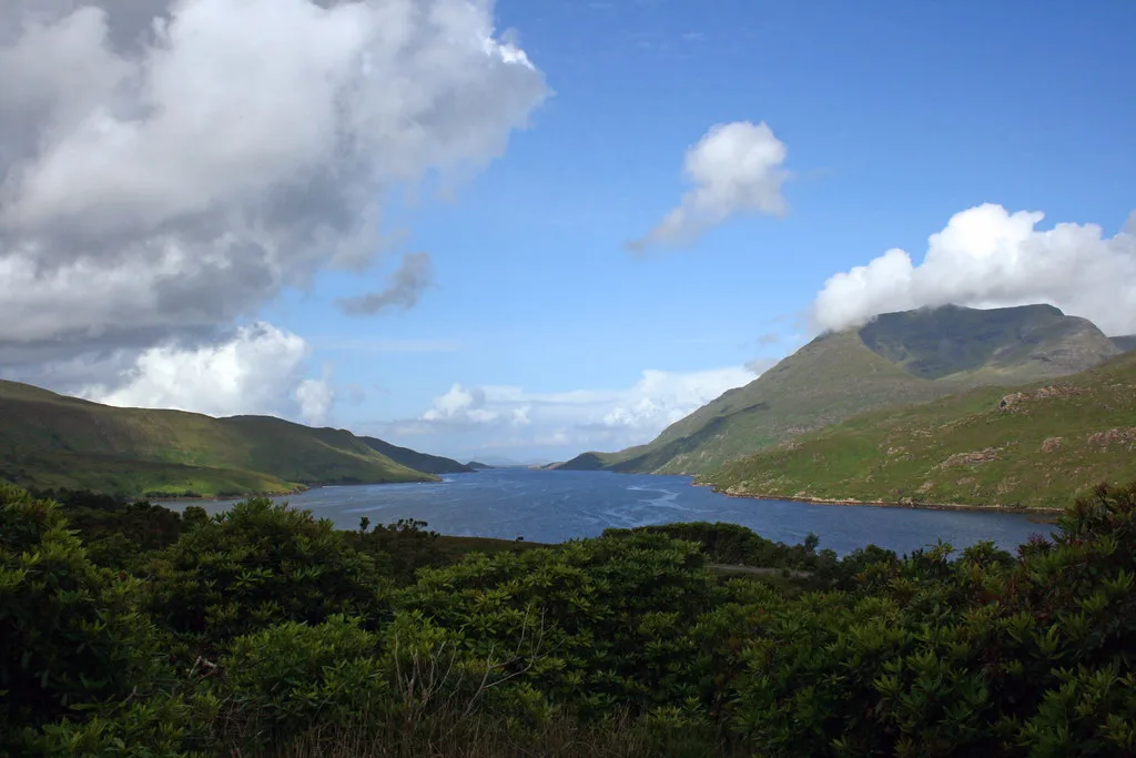
The range sits in Connemara, in the west of County Galway. The N59 circles the core massif to the south, west and north. The R344 through the Inagh Valley bounds it on the east side. Garraun, the northern outlier group, lies north of the N59 at Kylemore Lough.
For road access, follow the N59 from Galway or Clifden. Letterfrack, Recess and Clifden all work as bases. Getting from Galway to Connemara covers the drive and the regional options. Public transport and trailhead parking vary, so check current details with the park or Galway City Council's visitor information. Orientation is easier with the park map, and OSI Discovery sheets 37 and 44 cover the mountains.
- Letterfrack: gateway to the visitor centre and the Diamond Hill trails
- Recess: closest base for the southern valleys
- Inagh Valley (R344): eastern access and the start of the Twelve Bens Challenge
Why Are They Called the Twelve Bens?
"Ben" is an anglicised form of the Irish binn, meaning peak. The Irish name, Na Beanna Beola, simply means "the peaks of Beola". Beola was a Fir Bolg leader, and his name survives in the village of Toombeola. The "Twelve Pins" spelling is a common variant.
The number twelve is the puzzle. Nearly 20 peaks carry "Ben" or "Binn" in their names, and nobody agrees on a single list. The most common convention counts non-subsidiary peaks above 500 m in the core range. In 1684 the historian Ruaidhrí Ó Flaithbheartaigh described twelve high mountains seen from the sea, but he never named them.
The Main Peaks and Their Heights
This table follows the list most guides use. Heights come from the MountainViews database, and sources round them differently. One tourism list gives Derryclare as 650 m, while MountainViews gives 677 m. Use 677 m.
Diamond Hill is the awkward case. MountainViews classes it as an outlier at 442 m. Some tourism pages instead call a 582 m peak Benbrack and describe it as the most northerly Ben. Treat Diamond Hill's membership as contested and Benbrack's height as 582 m.
| Peak | Irish name | Height | Character |
|---|---|---|---|
| Benbaun | Binn Bhán | 729 m (2,392 ft) | Highest summit, centre of the range |
| Bencorr | Binn Chorr | 711 m | Pointed peak above Gleninagh |
| Bencollaghduff | Binn Dubh | 696 m | Black Peak, core ridge |
| Benbreen | Binn Braoin | 691 m | Southern horseshoe |
| Derryclare | Binn Doire Chláir | 677 m | Southern horseshoe end |
| Bengower | Binn Gabhar | 664 m | Goats' Peak |
| Muckanaght | Muiceanach | 654 m | Mica schist, central ridge |
| Benfree | Binn Fraoigh | 638 m | Peak of the Heather |
| Bencullagh | An Chailleach | 632 m | The Hag or Witch |
| Benbrack | Binn Bhreac | 582 m | Northern massif |
| Benlettery | Binn Leitrí | 577 m | Southern outlier, Ballinafad side |
| Benglenisky | Binn Ghleann Uisce | 516 m | Lowest of the twelve |
Which Twelve Bens Walk Is Right for You?
Match the route to your fitness and navigation skills before you match it to the view. Distances and times below are reported figures from published route descriptions. They vary between sources, so treat them as ranges.
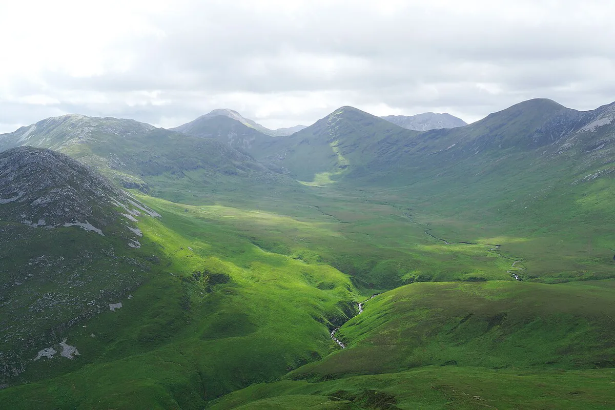
Diamond Hill is the sensible first climb. Diamond Hill walking details cover the loop from the visitor centre in Letterfrack. Benbaun via the Maumina pass is the next step up, at about 9 km and 4 to 5 hours by one account. Another route description gives 10.3 km and about 6 hours, so plan for the longer figure.
| Route | Distance | Time | Ascent | Difficulty | Best for |
|---|---|---|---|---|---|
| Diamond Hill Loop | 7.6 km (4.7 mi) | A few hours (estimate) | About 406 m | Easy to moderate | First-timers, families with fit older children |
| Benlettery and Bengower | 6.3 km | Half day (estimate) | About 686 m | Hard, steep | Fit walkers with map skills |
| Benbaun via Maumina pass | 9 to 10.3 km | 4 to 6 hours | Max about 725 m | Moderate to hard | Confident hill walkers |
| Bencorr and Derryclare, east approach | 11.6 km | Full day (estimate) | About 678 m | Hard | Experienced walkers |
| Glencoaghan Horseshoe | 16 to 17.4 km (10 to 10.8 mi) | 8 to 9 hours | Over 1,550 m | Serious ridge route | Experienced mountain walkers |
| Diamond Hill and Muckanaght | 19.6 km | Full day | About 1,401 m | Serious | Strong, fit navigators |
| Owenglin Horseshoe | 19 km | 10 to 12 hours | Not sourced | Serious | Very experienced walkers |
| Gleninagh Horseshoe | 15 km | 8 to 9 hours | Not sourced | Serious | Very experienced walkers |
| Glencorbet Horseshoe | 14 km | 6 to 7 hours | Not sourced | Serious | Experienced walkers |
- Who should not attempt the horseshoes: anyone without map-and-compass skills, anyone new to steep scree, and anyone who cannot turn back calmly in mist.
- Mistake to avoid: judging a route by its modest summit height. Ridge days are about total ascent, rough ground and time on your feet.
- Mistake to avoid: starting a long ridge late in the day with no cut-off plan.
Can You Climb All Twelve Bens in One Day?
Some say no. One tourism guide advises spreading the twelve over several days. Others say yes, for advanced walkers only. The Na Beanna Beola Hill Walking Club describes a Twelve Bens Challenge of about 28 km (17 mi) with roughly 2,530 m (8,300 ft) of ascent.
That route runs from the Inagh Valley Inn to the Bard's Den in Letterfrack. The club says it takes 12 to 14 hours on average and should be tried only by competent hill walkers. Wikipedia notes it has run yearly since 2006. For most visitors, a single horseshoe is a full and rewarding day.
Safety, Weather and Navigation
Mountain weather in Connemara can change within an hour. Carry waterproof layers and extra warm clothing, because summits are noticeably colder than the valley. Take a paper map and compass, plus GPS as a backup, since batteries fail. Tell someone your route and expected return time.
Mist makes the ridges hard to read, and boggy ground and steep scree slow every route. Claims that climbing here is "very safe" for beginners do not apply to the horseshoes. Mountaineering Ireland and Mountain Rescue Ireland publish current safety and call-out guidance. In an emergency, dial 112 and ask for Mountain Rescue.
- Check the mountain forecast from Met Éireann on the morning of your walk
- Set a turn-around time before you start
- Carry spare food, a headtorch and a first-aid kit
- Stay off ridges in poor visibility unless you can navigate by compass
When to Go and How Long to Allow
Summer gives the longest days, which suits the 8 to 14 hour ridge routes. Weekends and school holidays are busier, especially around Diamond Hill. Winter shortens daylight sharply and adds ice and short windows of visibility. Winter ridge days need proper winter skills.
Spring and autumn can offer quieter trails with workable daylight. Check daylight hours and the forecast on Met Éireann before committing. Allow a half day for Diamond Hill, a full day for Benbaun, and a full day plus margin for any horseshoe.
Landscape, Wildlife and the Special Area of Conservation
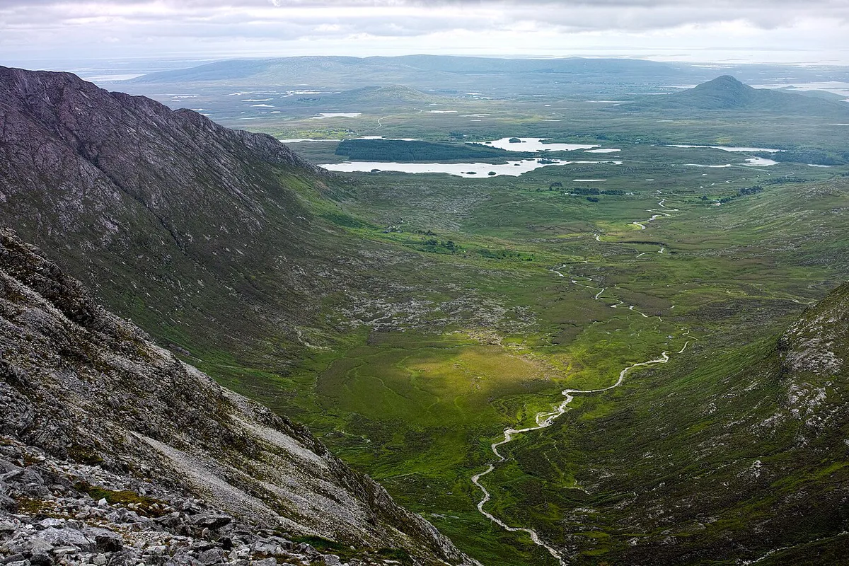
Hard quartzite caps the summits, while schist and marble lie lower down. Ice sculpted deep U-shaped valleys: Glencoaghan, Owenglin, Gleninagh, Polladirk and Glencorbet. The Garraun complex to the north has different rock, mostly gneiss, sandstone and mudstone.
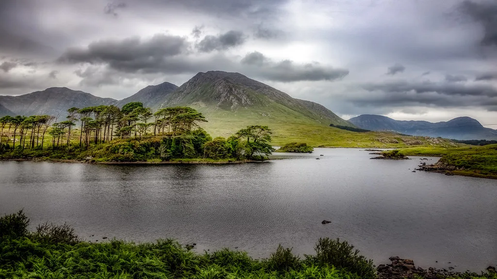
The Twelve Bens and Garraun Complex form a Special Area of Conservation, listed with site code 002031 and covering 16,163 hectares. National Parks and Wildlife Service information describes the park and its habitats. Protected features include blanket bog, alpine heath, oak woodland remnants, otter, Atlantic salmon and freshwater pearl mussel.
Walk lightly. Stay on paths, avoid cutting across blanket bog, and keep dogs under control near grazing animals.
Where to Stay and What Else to Do Nearby
Letterfrack suits Diamond Hill and the northern routes. Letterfrack village sits beside the park entrance, and the Twelve Bens Challenge finishes there. Recess is closer to the southern horseshoes. Clifden offers the widest choice of food and rooms. The Inagh Valley is quiet and scenic, and it is the start point for the Challenge. Browse places to stay near the park when you plan your base.
On a rest day, the visitor centre exhibits explain the park's landscape and history. Spot the local breed at Connemara Ponies: Where to See Them and What to Know. Guided walks and tours cost extra, so check operators directly. See guided options in Connemara. Rock climbers head for Carrot Ridge in Gleninagh, where routes run from 150 m to 320 m.
| Base | Best for | Trade-off |
|---|---|---|
| Letterfrack | Diamond Hill, visitor centre, northern routes | Small village, fewer services |
| Clifden | Dining, shops, widest lodging choice | Longer drive to southern trailheads |
| Recess | Southern horseshoes and valley starts | Limited choice of places to eat |
| Inagh Valley | Quiet stays, the Challenge start | Few facilities nearby |
Frequently Asked Questions
What are the 12 bins?
The phrase refers to the Twelve Bens, or Twelve Pins, a quartzite mountain range in Connemara, County Galway. Its Irish name is Na Beanna Beola. Benbaun is the highest peak at 729 m.
What is so special about Connemara?
Connemara combines quartzite peaks, glaciated valleys and blanket bog within a single national park. Its mountains and bogs sit inside a Special Area of Conservation. Walkers can choose from a short Diamond Hill loop to long ridge routes.
Notes for your next park visit
Optional updates to our national park guides.
Read next

Keep planning
Picked from the same area