
Diamond Hill Connemara: Trails, Time & Tips
Plan the Diamond Hill hike in Connemara National Park: trail options, time needed, how to get there from Galway and Letterfrack, and weather tips.
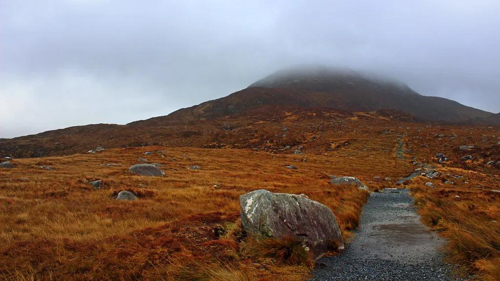
Last updated November 2026. Diamond Hill Connemara is the summit hike inside Connemara National Park, reached from the village of Letterfrack. The upper loop climbs about 400 m (roughly 1,300 ft) and takes around 2 hours. This guide helps you pick a trail, judge the weather and plan the day.
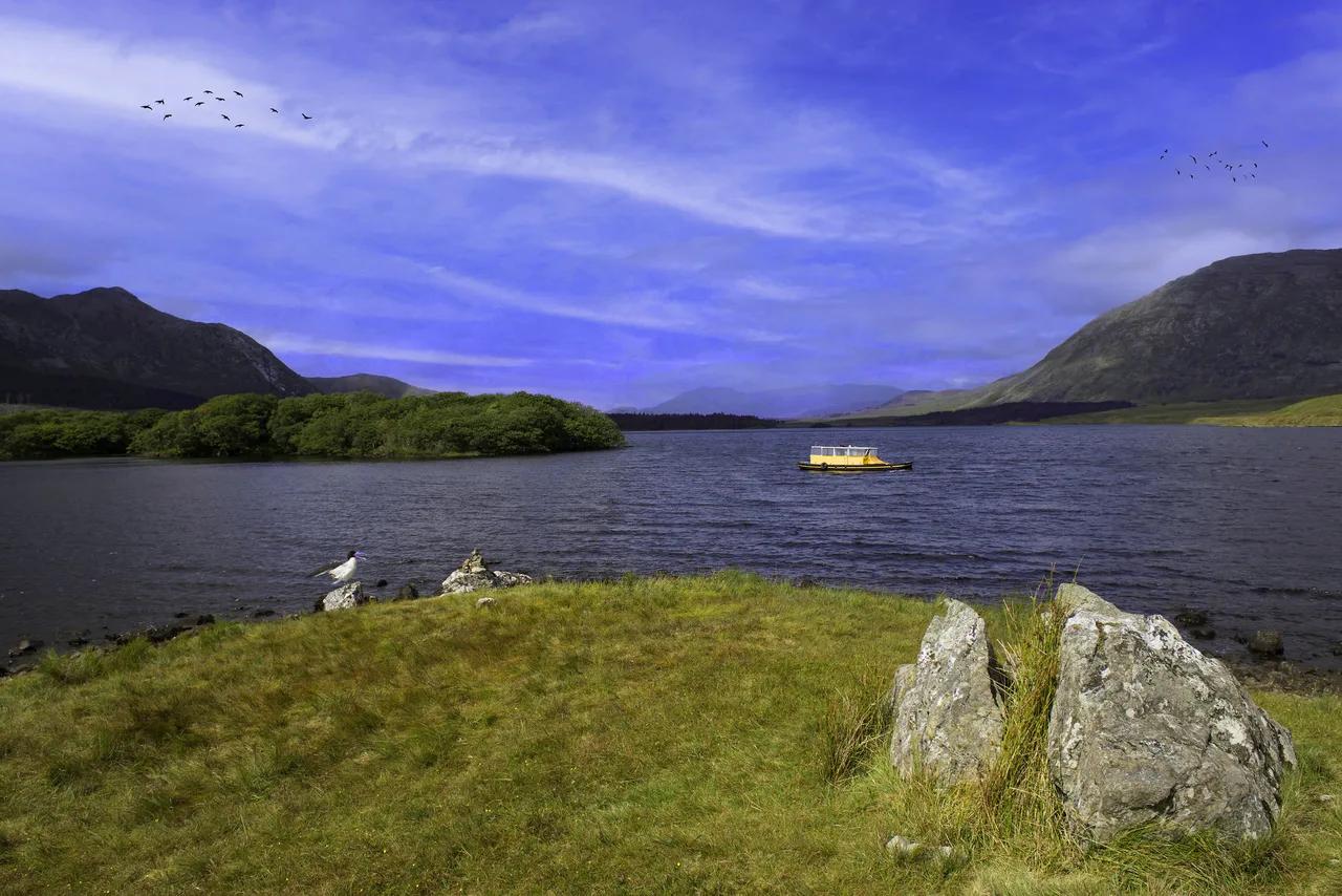
Featured image: J-T-M, CC BY 2.0, via Flickr.
Is Diamond Hill in Connemara worth hiking?
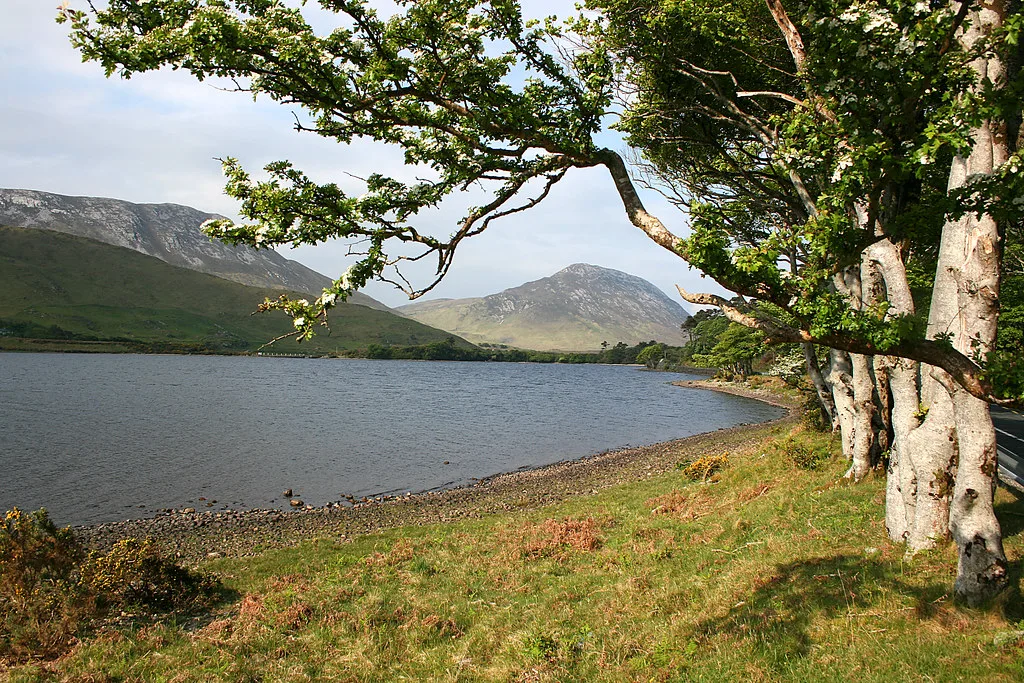
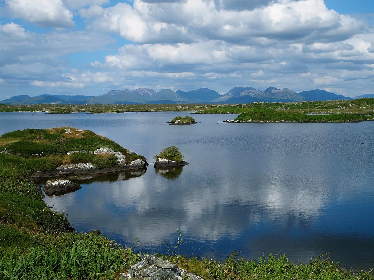
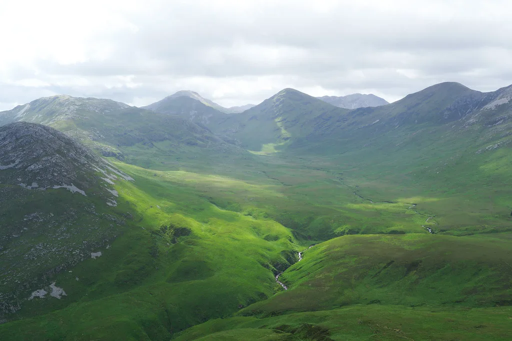
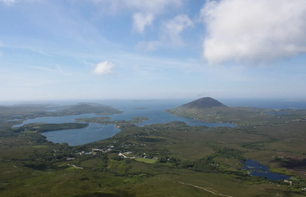
Yes, if the cloud is high enough to see out. Diamond Hill is the park's best-known summit, and the Red upper loop is the route that reaches the top. It covers about 3.7 km (2.3 miles) with roughly 400 m of climb, and it takes around 2 hours. From the summit, views run toward the Twelve Bens, Kylemore Abbey and Inis Boffin. On a very clear day they can reach Achill Island, but no view is guaranteed. Details of the park and its trails sit on the NPWS Connemara National Park page.
Diamond Hill trails compared
Four colour-coded loops start from the same area, ranked from easiest to hardest: Green, Yellow, Blue and Red. Only the Red loop reaches the summit. It shares ground with the Yellow and Blue trails, so you do not miss their scenery. Check trail status on the official page before you set out, since paths can close for conservation work or weather.
| Loop | Reaches summit? | Distance | Climb | Time | Best for |
|---|---|---|---|---|---|
| Green | No | About 0.5 km | Minimal | Short | Families, bad-weather fallback |
| Yellow | No | See trail map | Moderate | See trail map | Walkers wanting height without the top |
| Blue | No | See trail map | Moderate | See trail map | Fitter walkers short on time |
| Red (Upper) | Yes | About 3.7 km | About 400 m | About 2 hours | Confident hikers in clear weather |
- Green: a lowland forest walk of about 0.5 km. It works well added to the start or end of the summit hike.
- Yellow and Blue: mid-level loops that overlap the Red route. Check the trail map for their exact lengths.
- Red (Upper): the summit loop, about 3.7 km with about 400 m of climb. Allow around 2 hours.
How long it takes and when to go
Plan around 2 hours for the Red loop. Add about 30 minutes if you walk the Green loop first. A GPS log of one hiker's route recorded about 7.25 km, 398 m of ascent and 2 hours 9 minutes of moving time. That route likely included extra ground beyond the Red loop, so treat the 3.7 km figure as the loop length. A summit height of about 439 m also appears in that log. In November, daylight is short, so start in the morning and leave margin before dusk. Summer brings more walkers and tighter parking.
- Go if the cloud base sits clearly above the summit and the wind is moderate.
- Wait if cloud is sitting on the top, since the view is the payoff.
- Switch to the Green loop if heavy rain has fallen on the upper path.
- Turn back if wind makes the exposed ridge uncomfortable.
Getting to Diamond Hill
Letterfrack is the base. By car, it is about 1 hour 20 minutes from Galway city. Our Galway to Connemara route guide covers the drive in more detail. A CityLink bus runs from Galway to Letterfrack, but check the current timetable and season before you rely on it. The trails start near the park visitor centre. Parking can be difficult in summer, so arrive early. For the village itself, see Letterfrack. A route overview is on the park map page. Fees, parking charges and centre hours change, so check the NPWS page for current details.
Driving from Galway city takes about 1 hour 20 minutes before any walking starts, and the Red loop needs around 2 hours on top.
What to bring and what to avoid
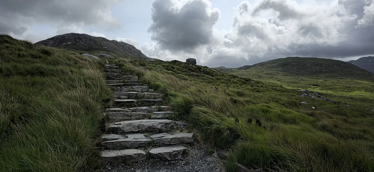
Waterproofs and lunch are strongly recommended. Weather changes fast on the upper loop, and the summit has little shelter. Pack water too, and wear boots with grip.
- Sneakers on wet rock: choose boots instead.
- Starting late in short winter days: begin by mid-morning.
- Trusting a valley forecast for the summit: expect colder, windier conditions on top.
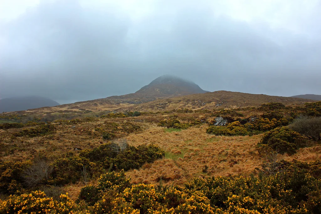
- Assuming the summit is visible from the car park: cloud often hides it.
- Skipping water and food: the climb takes around 2 hours.
Who should skip the summit
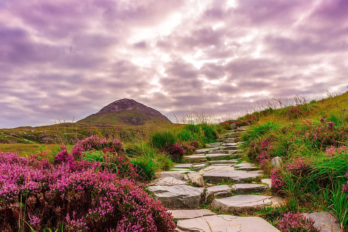
Parts of the Red loop are steep, and wet ground can be slippery. Young children, anyone with limited mobility and walkers in poor visibility should choose the Green loop instead. It is a short forest walk of about 0.5 km. If you want a guide for navigation, look at the options for guided hikes in the park.
Make a day of it
Pair the hike with the visitor centre and a stop in Letterfrack. Kylemore Abbey is visible from the summit and sits nearby. The summit view over the Twelve Bens range is the main reward. You may also spot Connemara Ponies: Where to See Them and What to Know in the area. Browse the wider Connemara National Park guide for other walks. If you want to stay overnight, see places to stay near the park.
For trip-planning details, see Diamond Hill, Discover Ireland.
Frequently Asked Questions
What is Diamond Hill known for?
Diamond Hill is the best-known summit in Connemara National Park. Its upper loop is about 3.7 km with roughly 400 m of climb. The top offers views toward the Twelve Bens, Kylemore Abbey and Inis Boffin in clear weather.
Notes for your next park visit
Optional updates to our national park guides.
Read next
Keep planning
Picked from the same area