Connemara National Park Map: Trails, Boundary & Terrain
Where to get the Connemara National Park trail map, how the boundary and terrain look, and which route to pick from Letterfrack.
Last updated November 2026. The best Connemara National Park map for walking is the printed trail map from the visitor centre in Letterfrack. For the boundary, use the NPWS dataset, and for relief, use a topographic viewer. This guide explains which map does which job and how the park fits around Letterfrack, the N59, Diamond Hill and the Twelve Bens.
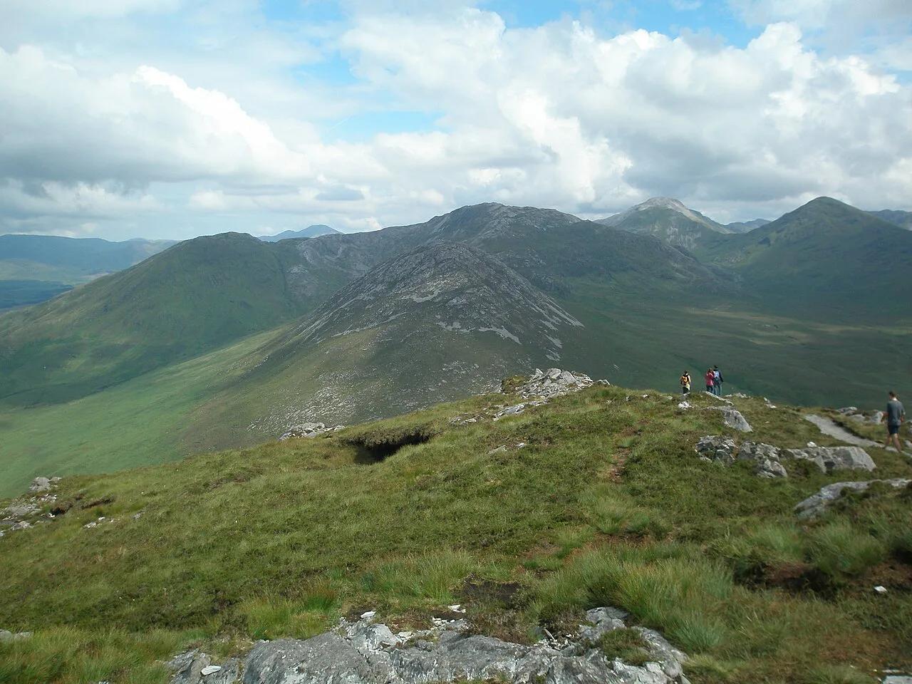
Featured image: Dwxn, CC BY-SA 4.0, via Wikimedia Commons.
Connemara National Park map: quick answer
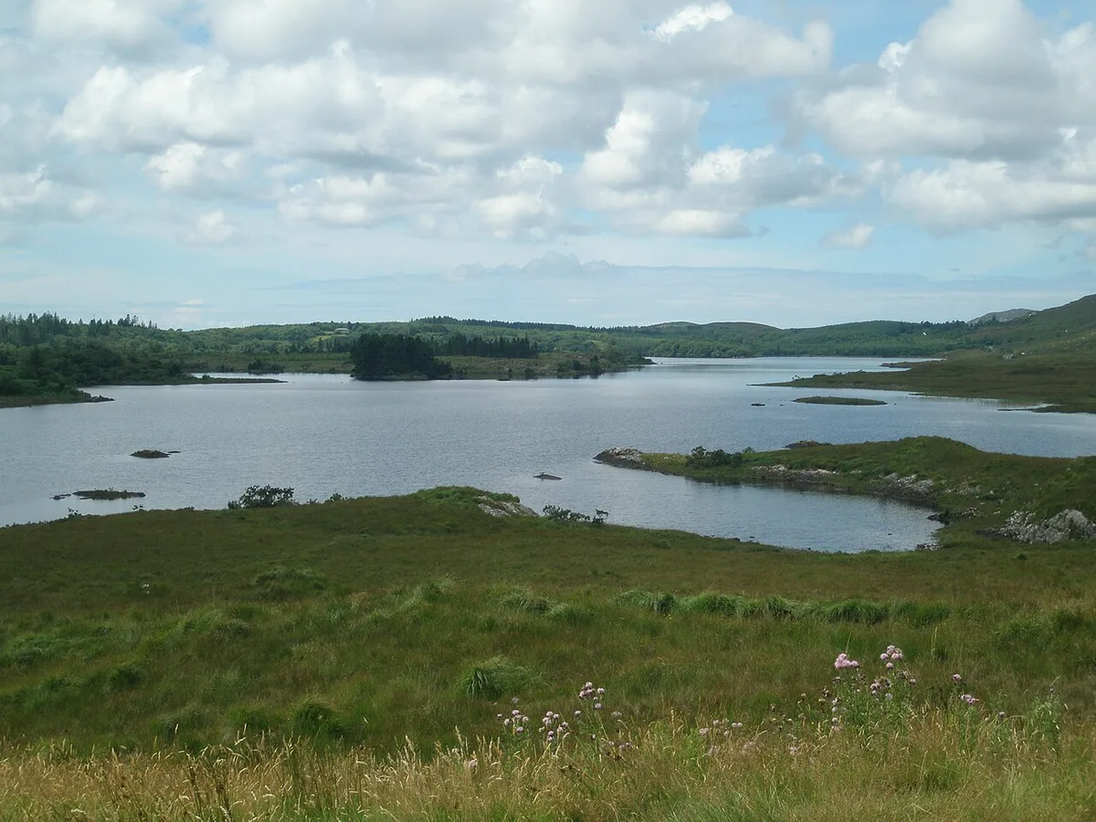
Three kinds of map cover this park, and each does a different job. Trail maps are for walking. The boundary file shows where the park ends. Topographic views show how steep the ground gets. Start with the trail map, and read our Connemara National Park guide for the wider picture.
| Map type | Where to get it | Best for | Limits |
|---|---|---|---|
| Printed trail map | Visitor centre, Letterfrack | Choosing and following walks | Check the centre's current opening dates |
| Boundary map (PDF, SHP/ZIP, ESRI REST, WFS) | data.gov.ie, published by NPWS | Seeing the park outline in GIS or PDF | Illustrative only, not for navigation |
| Topographic or elevation viewer | Third-party websites | Judging relief before you go | Approximate, not an official source |
| Phone GPS or offline map | Download before you arrive | Backup position check | Needs a charged phone and saved area |
Where the park sits and how to find it
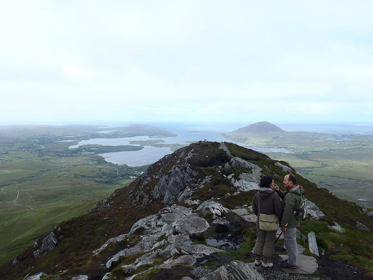
Connemara National Park lies in County Galway on the west coast. The visitor centre and main access are near the village of Letterfrack, on the N59. Map coordinates listed for the centre are 53.538378, -9.887542. The postcode is H91 K2Y1.
Connemara is a region, not a county, and it is far bigger than the park. The National Parks and Wildlife Service describes the park as about 2,000 hectares of mountains, bogs, heaths, grasslands and forests. Our Galway to Connemara route guide covers the drive in from the city.
Official maps and where to get them
The trail map is available at the Connemara National Park Visitor Centre: Opening Days, Getting There & What to Do. The centre also has exhibitions, a café and toilets. Opening dates can change by season, so check the NPWS Connemara page before you drive out. The park's phone number is +353 (0)95 41054.
For the outline of the park, use the Connemara National Park boundary dataset. It is published by the Department of Housing, Local Government and Heritage under a CC BY 4.0 licence. It comes in four formats: PDF, SHP/ZIP, ESRI REST and WFS. It was released on 2021-11-05 and updated on 2025-06-16.
The department states the file is for illustrative purposes only. It gives no guarantee of accuracy and the polygon is generalised. Use it to see the outline, never to find a path in cloud.
Reading the terrain
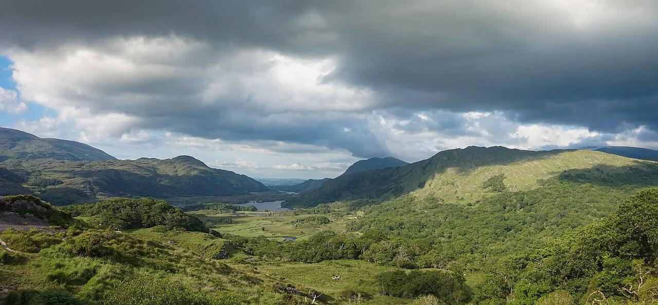
Third-party topographic tools put the park's elevation between 11 m (about 36 ft) and 726 m (about 2,382 ft). The average is 211 m (about 692 ft). Treat these as approximate figures rather than official ones. They still show the main point: you can go from low bog to an exposed summit within one map sheet.
Across about 2,000 hectares, the ground climbs from low bog to 726 m, so wet footing and exposed summits share one park.
Diamond Hill is the best-known climb, and it is described as a moderate ascent with views over the coast and islands. Beyond it, the Twelve Bens, Connemara: Peaks, Walks and Planning Guide dominate the skyline. That range is wider than the park, so do not expect every Bens summit to sit inside the boundary line.
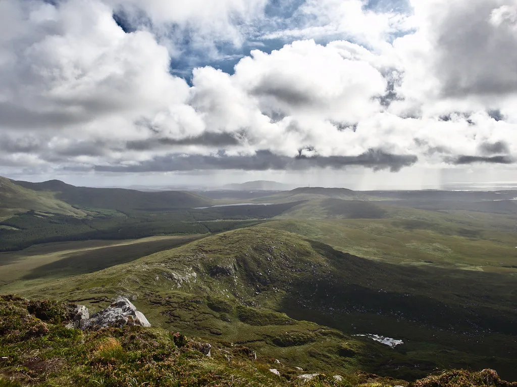
Low ground is mostly blanket bog and heath. Expect wet, soft footing there even after a dry spell. Higher up, wind and cloud arrive fast, and a trail that looked obvious from the car park can vanish in mist.
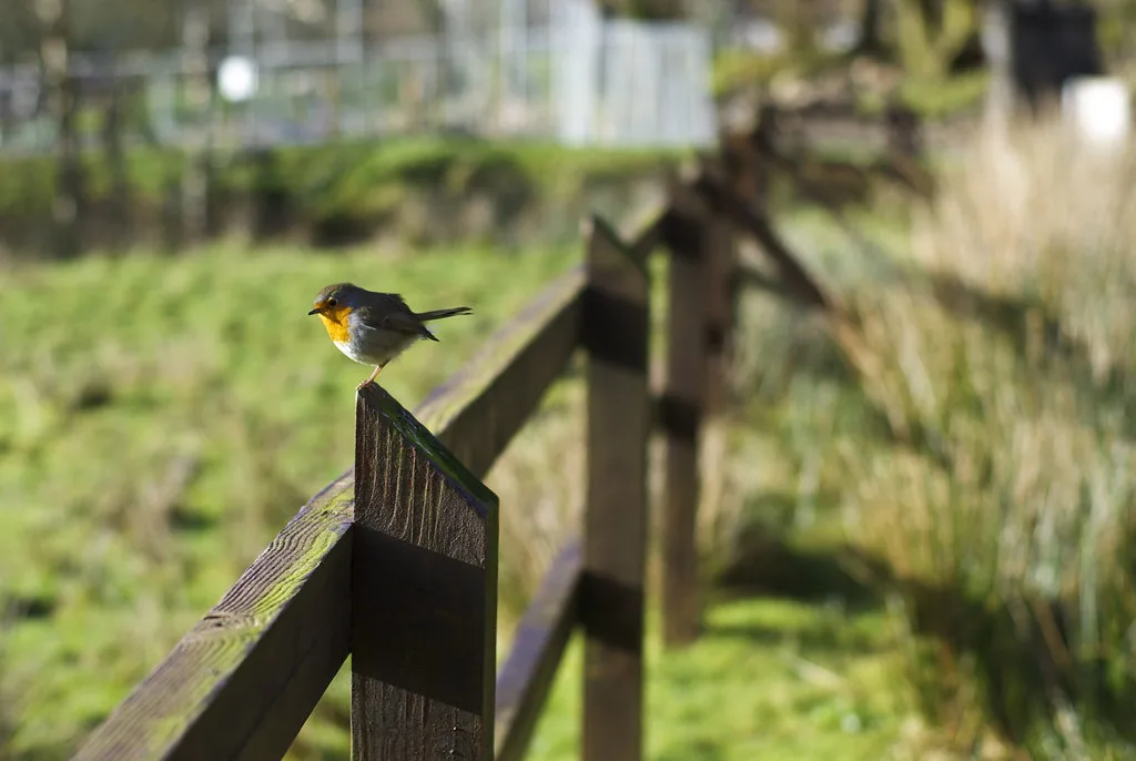
- Low bog and heath: wet footing, easy to lose a faint path.
- Mid slopes: steeper ground where weather changes quickly.
- Summits: exposed, with the least shelter if cloud drops.
Which route to pick
Official trail details are on the visitor centre map, so ask staff for current lengths and times. The table below sorts options by effort only. Pick by your weather window, your footwear and the youngest or slowest walker in the group.
| Option | Effort | Choose it if | Skip it if |
|---|---|---|---|
| Short low-level walk near the visitor centre | Low | You have little time or young children | You want summit views |
| Diamond Hill loop | Moderate climb | You are comfortable on hills and the cloud is high | Visibility is poor or the wind is strong |
| Longer routes toward the Twelve Bens | High | You have hill experience and a full day | You rely on a phone alone for navigation |
Navigation and safety tips
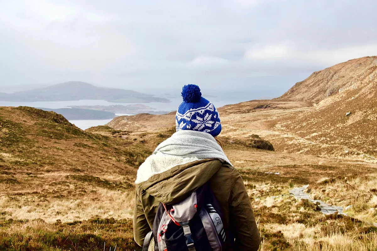
Weather in Connemara can change rapidly, even in summer. Check the Met Éireann forecast before you set out. Then pick your route against the forecast, not the other way round.
- Download an offline map before leaving the visitor centre, because mobile signal can be patchy in the hills.
- Carry the printed trail map as a backup to your phone.
- Wear sturdy footwear and layers, and carry waterproofs.
- Pack water and snacks for anything longer than a short walk.
- Turn back if cloud drops and you lose sight of the path.
- Do not navigate from the boundary map; it is illustrative only.
- If cloud is down, spend the time at the visitor centre or look for the herds described in our Connemara ponies guide.
Tickets, tours and where to stay
Admission to the park is listed as free. Read our Connemara National Park tickets guide for anything that carries a charge, such as parking or guided options. If you would rather not navigate yourself, see the guided tours on offer. For a base, compare the stays near the park. Letterfrack puts you within reach of the visitor centre.
Frequently Asked Questions
Is Connemara National Park worth visiting?
Yes, if you want mountain and bog scenery with marked walks. Diamond Hill gives coastal views, and the visitor centre sits near Letterfrack on the N59.
Is Connemara a county?
No. Connemara is a region of western Ireland. The national park lies in County Galway.
Where to stay when visiting Connemara National Park?
Letterfrack is the closest base to the visitor centre. Our accommodation guide compares options nearby.
Notes for your next park visit
Optional updates to our national park guides.
Read next
Keep planning
Picked from the same area