
Thingvellir Map: Park Layout, Sights & Parking
Use this Thingvellir map guide to find the main sights, car parks and walking routes, then plan a visit by time and mobility.
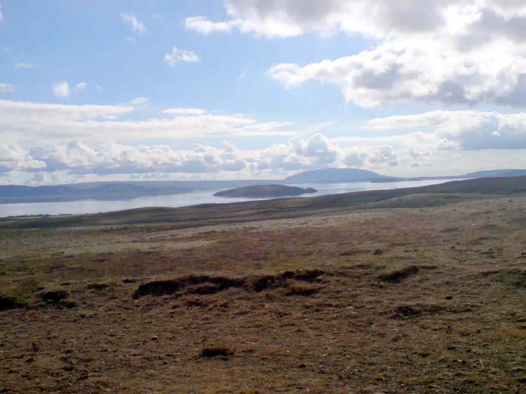
Last updated November 2026. This Thingvellir map guide explains how the park fits together: the Almannagjá rift, Lögberg, Öxarárfoss, the church, Silfra and the lake. It also shows where car parks P1 to P5 sit in your plan and where to start. For the authoritative drawing, use the official park maps and read our full Thingvellir National Park guide for background.
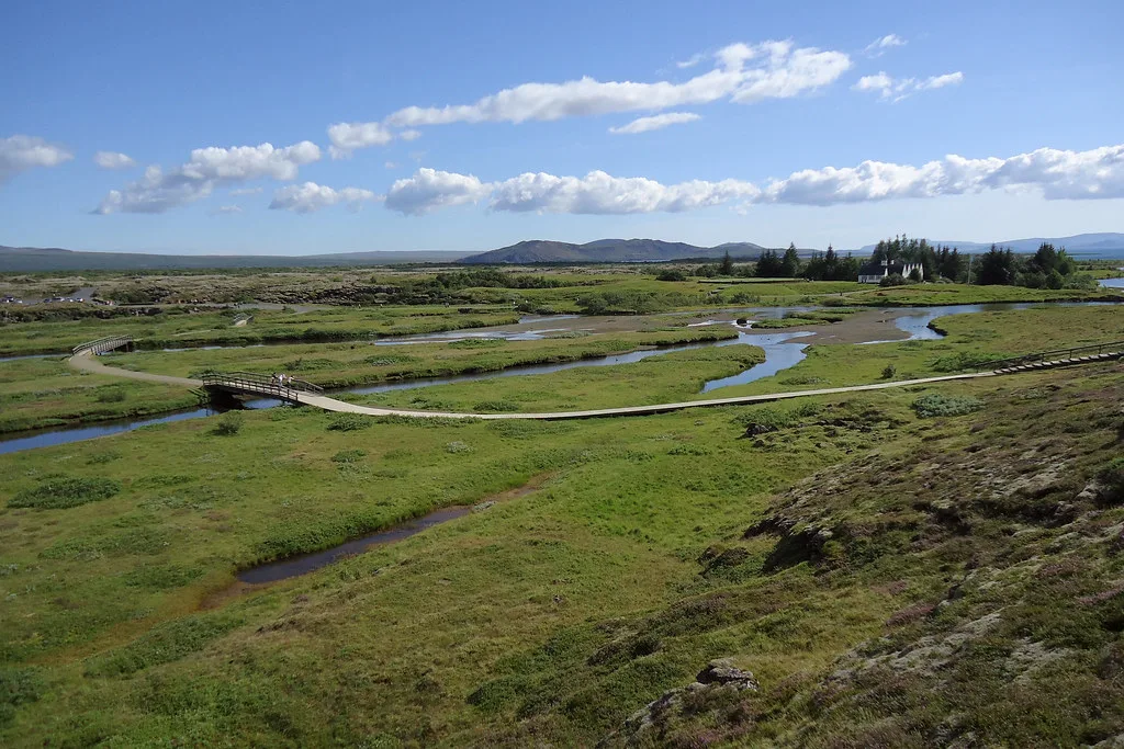
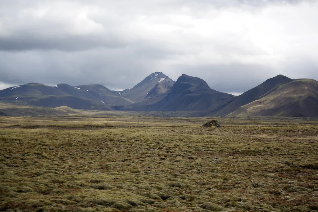
Featured image: r h, CC BY 2.0, via Flickr.
Thingvellir Map at a Glance
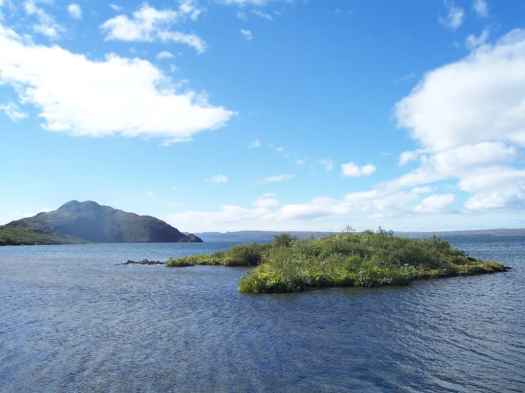
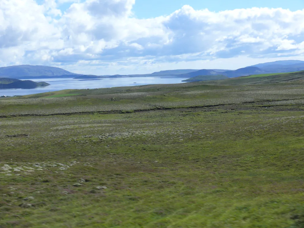
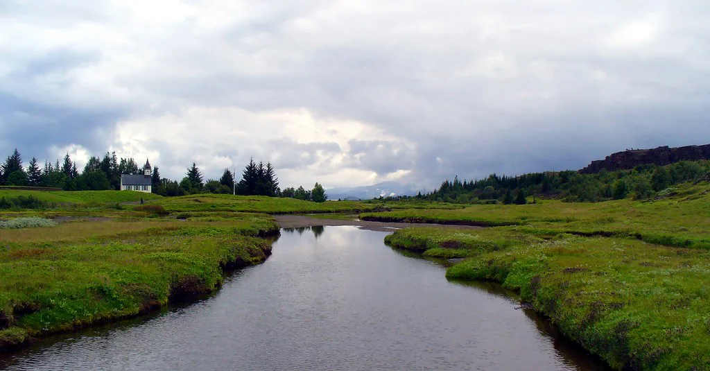
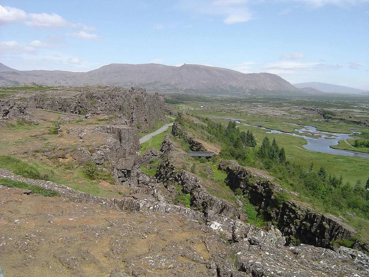
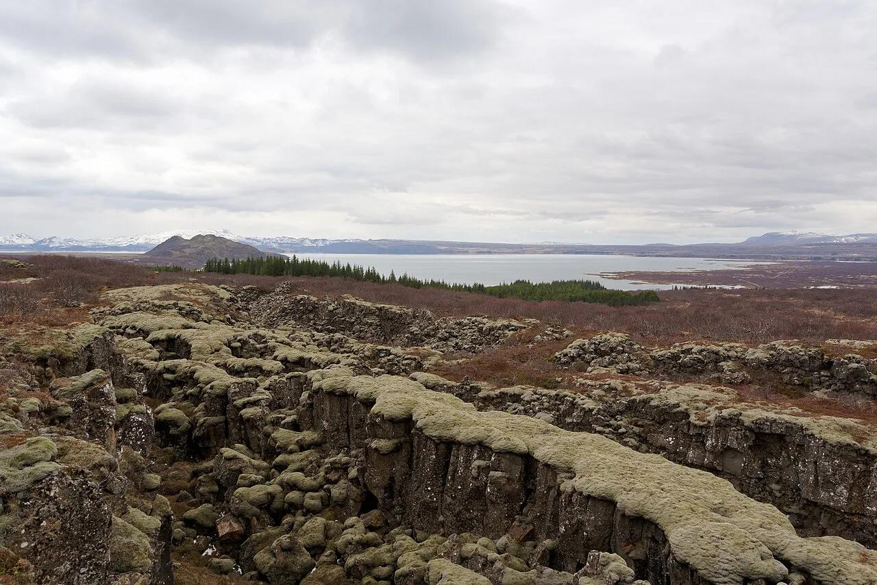
Think of the park as three zones. The rift wall of Almannagjá is the backbone, with the visitor center at Hakið on the upper edge. Below it, the walking path runs through the rift past Lögberg, the Law Rock area. Öxarárfoss falls into the rift along that path. On the plain near the lake you find the church and farmstead area, and the lake Þingvallavatn forms the southern edge. Silfra lies in the lake and is run as a separate, operator-led activity. Most visitors link these stops on foot, so a good map is mostly a plan for which car park to use and which direction to walk.
- Almannagjá: the rift wall and the main walking route
- Hakið: the visitor center and the overlook above the rift
- Lögberg: the Law Rock area on the rift path
- Öxarárfoss: the waterfall at the rift's end
- Þingvallavatn: the lake, with Silfra beneath its surface
Where Things Are on the Map
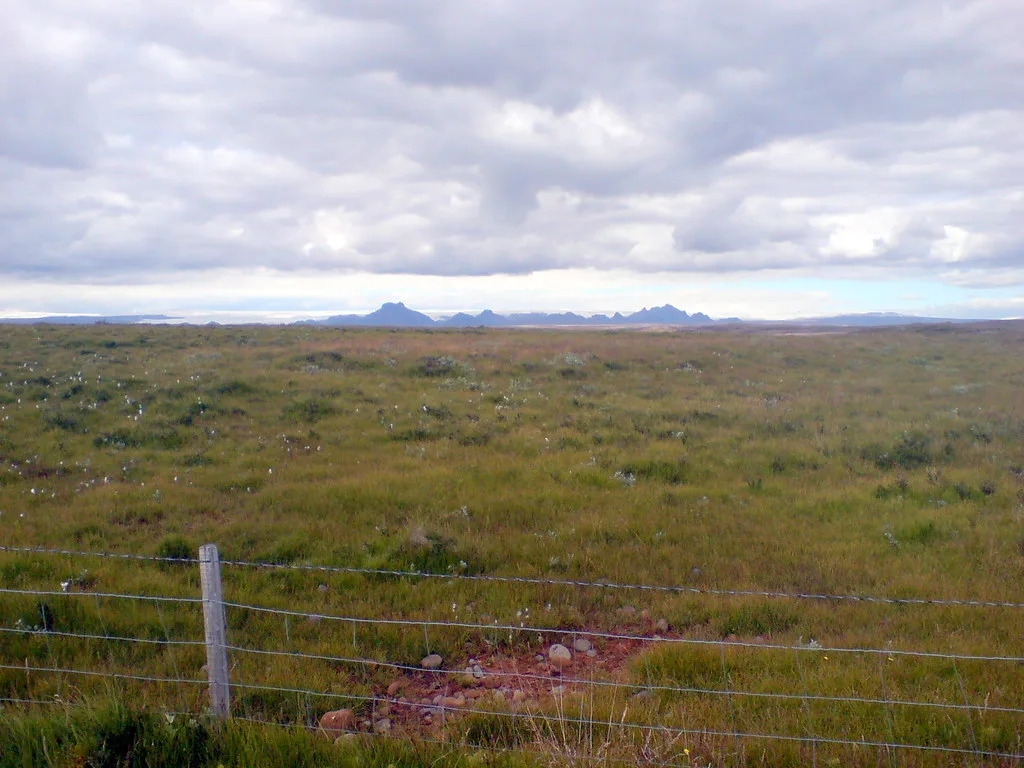
Use this key to read the park map. It lists what each site is and how most people reach it. The official map shows exact car park numbers P1 to P5 for each, so match them there before you drive in.
| Site | What it is | How you reach it |
|---|---|---|
| Almannagjá | Rift wall and main path | Walk from Hakið or from a car park below the rift |
| Lögberg | Law Rock area, historic assembly site | Walk the rift path |
| Öxarárfoss | Waterfall at the rift's end | Walk the Almannagjá path |
| Þingvellir church | Church and farmstead area on the plain | Short walk from the lower car parks |
| Visitor center | Exhibition, information, overlook at Hakið | Drive to the upper car park |
| Silfra | Fissure in the lake, used for snorkeling and diving | Book with a licensed operator |
Parking Areas and How to Reach Them
The park has five numbered car parks, P1 to P5. No single car park serves every site, which is the most common planning mistake. Choose one by the first stop you want, then walk to the others. Our Thingvellir parking guide covers the details. Fees and payment methods change, so read the current rules on the official site before you arrive. Road conditions on the way in are listed at road.is. If you would rather skip driving, guided tours from Reykjavik bring you to the park and handle the parking.
- Rift overlook and visitor center: use the upper car park at Hakið.
- Church and lake shore: use a lower car park on the plain.
- Silfra: follow your operator's meeting instructions, not the general park map.
Walking Routes and Time Trade-Offs
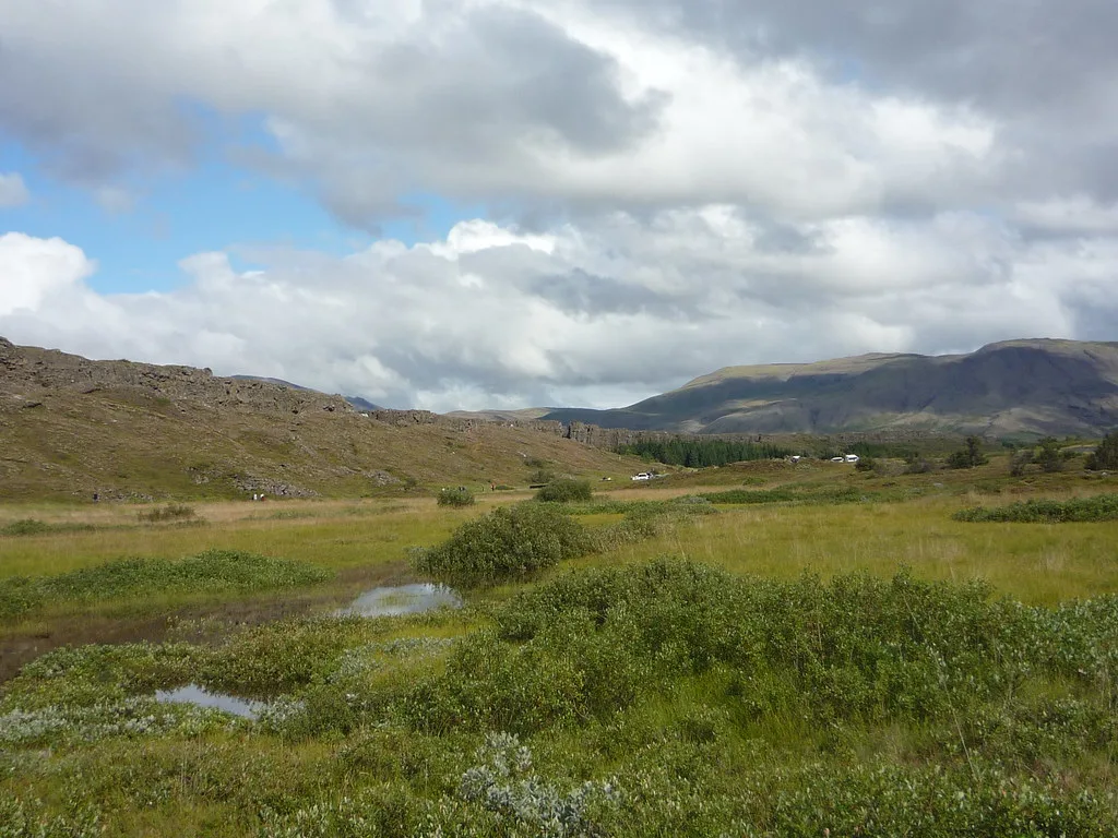
Walking routes here are easy to label by length rather than precise time. Path lengths vary by where you park, so take times from the official map. Surfaces include gravel, boardwalk and stone steps, and the rift-edge sections can be slippery when wet. Pushchairs and wheelchairs cope better on the level plain near the church than on the rift path, but check the official site for current accessibility notes.
| Route | Length | Effort | Best for |
|---|---|---|---|
| Hakið overlook only | Short | Low | Rushed Golden Circle stop |
| Almannagjá path to Öxarárfoss | Medium | Moderate, some steps | Most first-time visitors |
| Rift path plus church and lake shore | Half day | Moderate | History-focused visitors, photographers |
| Full park loop with Silfra | Full day | Higher | Snorkelers and divers |
Which Stops to Pick for Your Time
On a short Golden Circle stop, park near Hakið, take in the rift overlook and walk to Öxarárfoss. If you have half a day, add the church and the lake shore. Families with young children can stay on the flatter plain and skip the longer rift sections. History-focused visitors should spend their time at Lögberg, where the Althing met. A full day suits those booking Silfra, since you need time before and after the activity. Read our Silfra fissure guide for operator requirements. If you want to stay nearby, a campsite in the park or hotels near the park make an early start easier.
Seasonal and Access Caveats
Winter brings ice on the rift path, strong wind and short daylight, so plan shorter routes and wear grippy footwear. Check Icelandic Met Office forecasts before you set out. Our Thingvellir weather guide explains what to expect by season. Some paths may close for conservation or safety, so look for signs at each car park. Silfra has its own booking and eligibility rules that sit outside the park map.
Combining the Thingvellir Map with the Golden Circle
Thingvellir is one stop on the Golden Circle route, so budget its time against the rest of your day. Our Golden Circle route guide lays out the full loop. If you prefer a guided day, compare options in the Golden Circle Tour From Reykjavik: Which Option Fits You guide. Self-driving lets you pick your car park and stay longer, while a tour fixes your time on site. Return to the main Thingvellir guide for the wider picture.
Self-drivers on the Golden Circle should pick between car parks P1 to P5 before arriving, since a short stop only works from the right lot.
Frequently Asked Questions
Where is Thingvellir National Park in Iceland?
Thingvellir is a stop on the Golden Circle route from Reykjavik. Check road.is for current driving conditions before you set out.
How long does it take to explore Thingvellir National Park?
A rushed stop covers the Hakið overlook and Öxarárfoss. A half day adds the church and lake shore, while a full day suits a Silfra booking. Take path lengths and times from the official park map.
Notes for your next park visit
Optional updates to our national park guides.
Read next
Keep planning
Picked from the same area