
Almannagjá Gorge: Walk Iceland's Rift Between Plates
How to visit Almannagjá in Þingvellir: what it is, how to walk it, parking, seasons and how to fit it into a Golden Circle day.
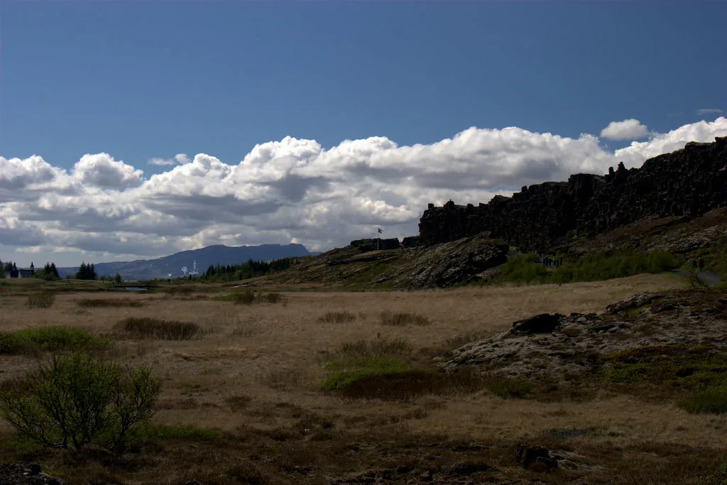
Last updated November 2026. Almannagjá (often typed almannagja) is the main rift wall on the western edge of the Þingvellir plain, inside Þingvellir National Park. It marks the boundary zone between the North American and Eurasian plates. Visitors walk along the cliff top or down through the gorge, so allow a short stop at minimum and an unhurried walk if you like geology.
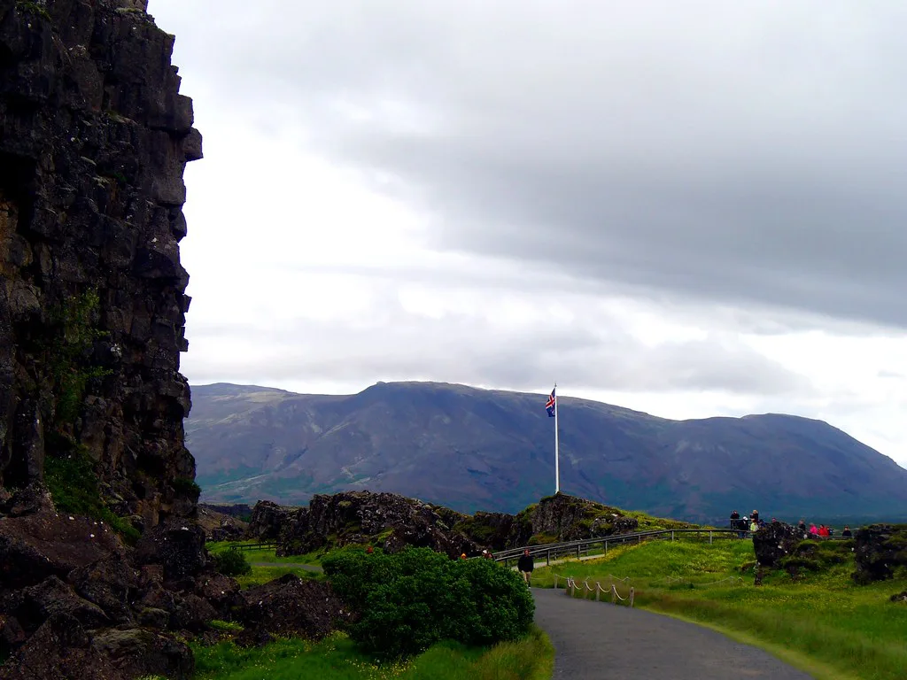
Featured image: yashima, CC BY-SA 2.0, via Flickr.
What Almannagjá Is and Why It Matters
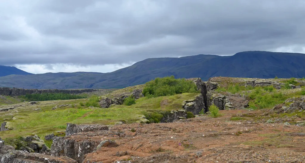
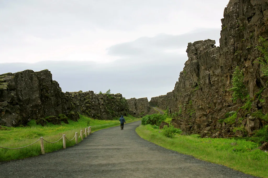
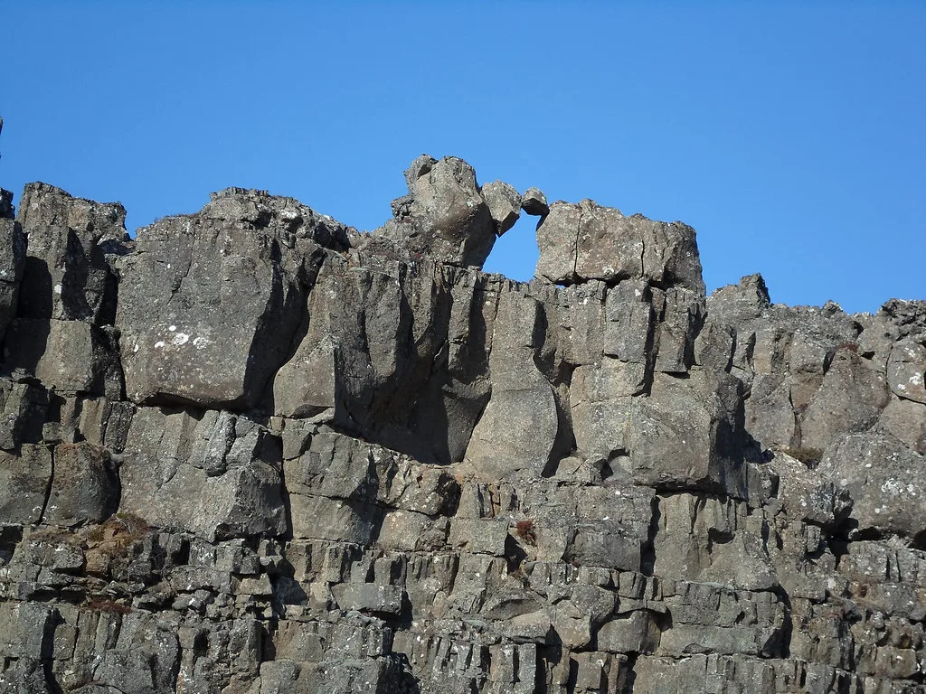
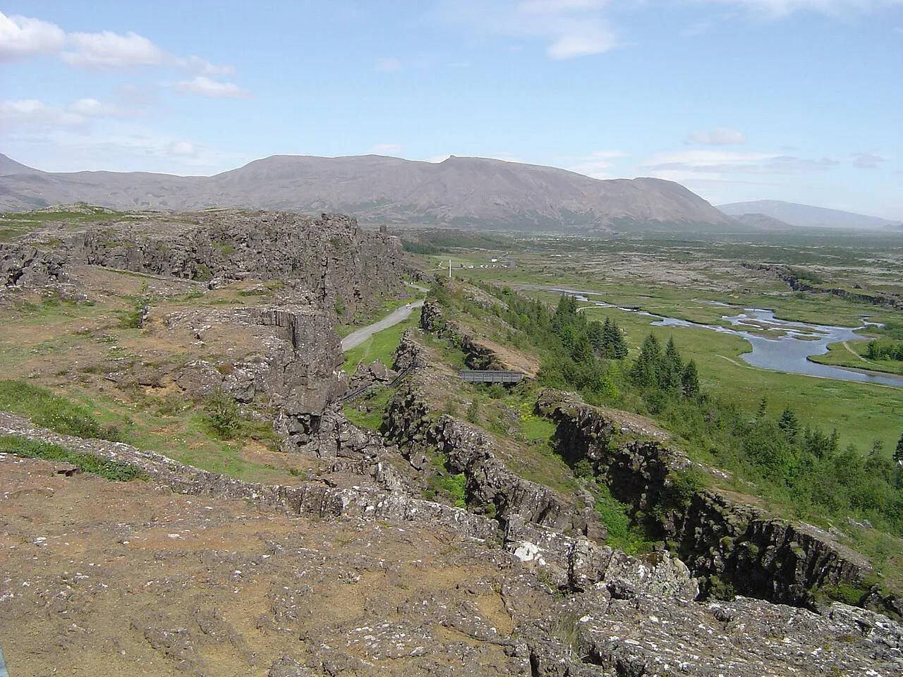
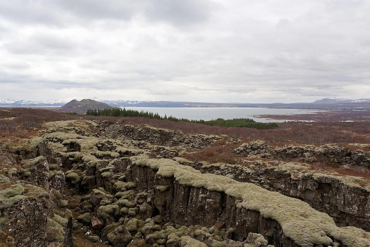
Almannagjá is a long fault wall of dark rock. It forms the western side of the Þingvellir rift valley. Iceland sits on the Mid-Atlantic Ridge, where the North American and Eurasian plates pull slowly apart, and this cliff is one visible result. The official Þingvellir site covers the park's geology and rules. The same plain hosted the Alþingi, Iceland's national assembly, from 930. The path through the gorge descends toward the Law Rock (Lögberg) area. Almannagjá is a walk inside the park, not a separate attraction with its own entrance.
Is Almannagjá Worth It? Who Should Stop
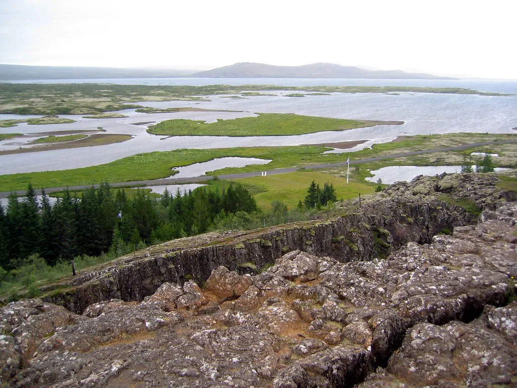
For most first-time visitors on the Golden Circle, yes. You get a clear, walkable view of a plate boundary without a long hike. Geology fans and photographers will want more time, because the cliff face changes with the light. Families can manage the main path, though children need watching near edges. Skip or shorten the walk if your day is already packed with Geysir and Gullfoss. In that case, take the viewpoint stop and move on.
- Best for: first-timers, geology fans, photographers, families with older children.
- Shorten it: tight Golden Circle schedules, bad weather, limited mobility.
- Skip the descent: when ice covers the path and you lack proper footwear.
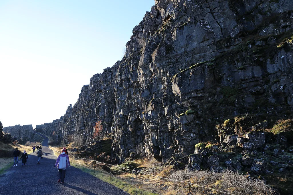
How to Walk Almannagjá: Routes and Time
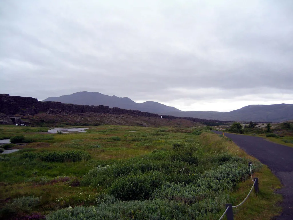
You have two basic choices. The first is a stop at the upper viewpoint to look across the rift valley. The second is the walk down through the gorge to the valley floor. Official park material is the place to confirm trail length, surface and gradient before you go. Times below are rough estimates, not official figures. Use the Þingvellir park map to see how the paths connect.
| Option | Time (estimate) | Effort | Best for | What you see |
|---|---|---|---|---|
| Viewpoint stop | Short | Low | Tight schedules | Rift valley panorama |
| Full gorge walk | Moderate | Easy to moderate | Most visitors | Cliff face up close, path toward the Law Rock area |
| Longer Þingvellir loop | Longest | Moderate | Half or full day | Gorge, plain and nearby sights |
Getting There, Parking and Access
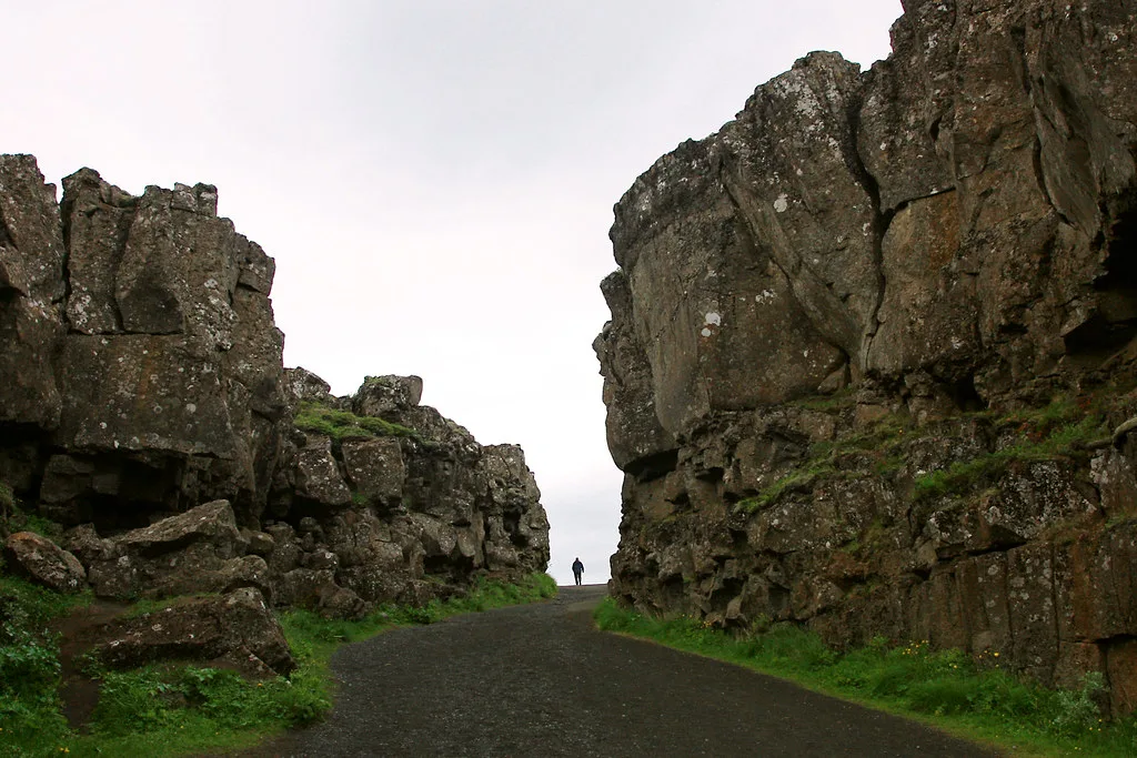
Rules and fees for parking and entry change, so read the official Þingvellir pages before driving. Choose the car park that matches the route you want to walk.
When to Go: Seasons, Weather and Safety
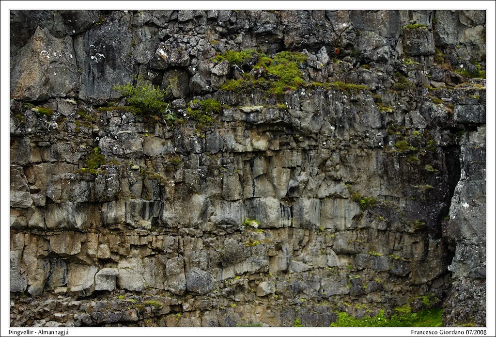
Summer brings long light and the largest crowds. Autumn is quieter, and low sun picks out the cliff texture. Winter adds ice on the path and sharp wind, so wear non-slip shoes and a windproof layer. Cliff edges are real hazards in any season, so keep to marked paths. Read the Þingvellir weather guide before you leave. Check road conditions at Road.is and forecasts at the Icelandic Met Office.
Combine It With Nearby Stops
Almannagjá pairs well with other sights on the same plain. Silfra is a separate booked activity, and walking the gorge does not put you in the water. Overnight options exist if you want a slower visit. See Þingvellir camping for campsites. For a bed, try hotels near Þingvellir.
- Pair with Öxarárfoss waterfall for a second short walk.
- Add the Silfra fissure only if you have booked it.
- Stop at Þingvellir church if time allows.
- On a short itinerary, keep the gorge and waterfall and skip the rest.
- Place the whole stop within a Golden Circle route.
Mistakes to Avoid
Most problems come from rushing or misjudging conditions.
- Treating Almannagjá as a quick photo stop on a tight schedule.
- Wearing smooth-soled shoes in winter.
- Standing near unmarked edges.
- Assuming Silfra and the gorge are the same site.
- Parking at the wrong car park for your chosen route.
Frequently Asked Questions
How long is the Almannagjá gorge hike?
Length depends on whether you stop at the viewpoint or walk the full gorge. Official park material gives the current trail details. Allow extra time for photos and wind.
Where can you touch two tectonic plates in Iceland?
At Þingvellir you walk between the two plate edges along Almannagjá. Silfra is a separate fissure where booked snorkelers and divers swim between them. You cannot literally touch both plates on the gorge path.
Will Iceland eventually split in two?
The plates move apart very slowly along the rift. Nothing on that timescale affects a visit. Treat it as geology, not a travel risk.
Notes for your next park visit
Optional updates to our national park guides.
Read next
Keep planning
Picked from the same area