Snowdonia Map: Which Map to Use and Where to Go
Choose the right Snowdonia map for walking, driving or planning. Compare map types, see the main bases and routes by difficulty, and avoid common mistakes.
Last updated November 2026. A Snowdonia map is not one product, because Eryri is a large national park and the right map depends on your task. Three types cover most visits: a planning overview, a walking map and a driving or parking map. Use the overview to pick a base, carry a paper walking map on any hill, and treat your phone as the backup. Our Snowdonia National Park guide gives the wider picture.
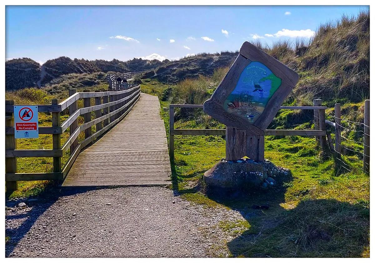
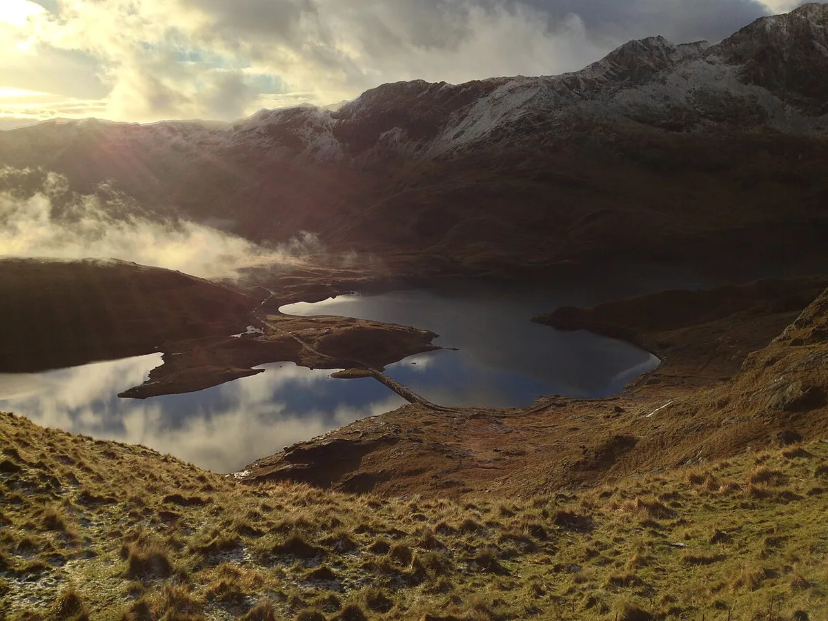
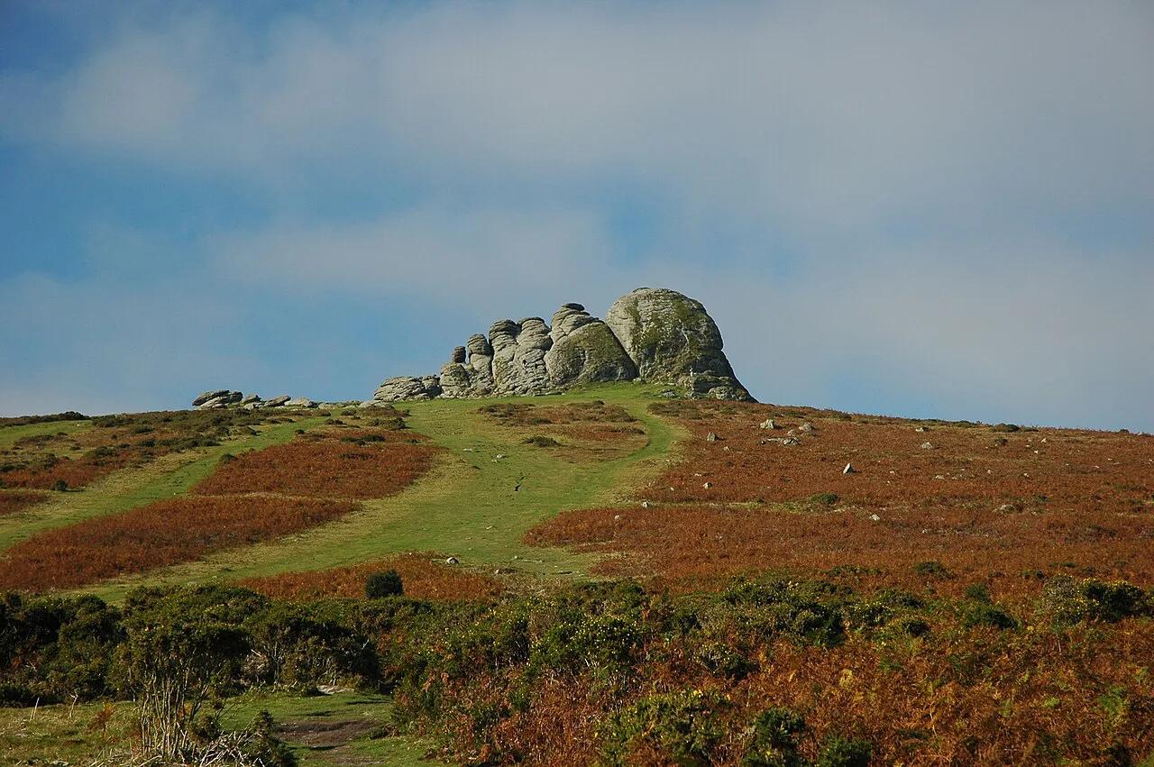
Featured image: ohefin, CC BY-SA 2.0, via Flickr.
Which Snowdonia Map Do You Need?
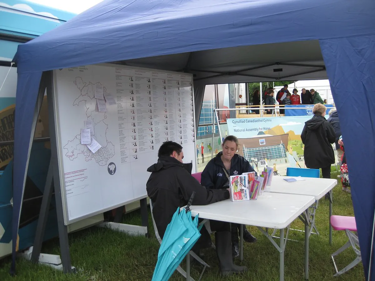
Pick the map by the job. A planning map shows where the bases and roads sit. A walking map shows paths, contours and steep ground. A driving map shows roads and car parks. Ordnance Survey is the national mapping agency, and its walking maps are the usual choice for mountain days. This page does not embed an interactive map, so the table below helps you choose one elsewhere.
| Map type | Best for | Works offline? | Limits | Skip it if |
|---|---|---|---|---|
| Planning overview | Choosing a base and linking areas | Yes, if printed or saved | Too coarse for paths | You already have a base |
| Paper walking map | Any hill or ridge day | Yes, always | Needs a compass and basic skills | You only walk lakeside paths |
| Offline phone or GPS map | Tracking your position | Only if downloaded first | Battery drain, weak signal in valleys | It would be your only map |
| Driving and parking map | Reaching trailheads | Yes, if printed | Shows no mountain terrain | You travel by train and bus |
Snowdonia Map by Area: Where the Main Bases Sit

Think of the park as a set of bases rather than one town. Each base has a different trade-off in access, parking and public transport. For non-walking ideas, see 10 Best Things To Do In Snowdonia (Eryri) in 2026.
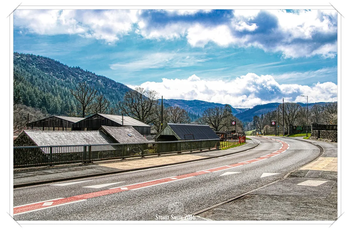
- Betws-y-Coed: a busy village base for forest walks, with a rail link on the Conwy Valley line. Parking fills in peak season.
- Llanberis: the base for the Snowdon Mountain Railway: Booking, Weather and Is It Worth It and the Llanberis side of Snowdon. Expect crowds on fine days.
- Beddgelert: a village base with lower walks along Llyn Dinas and the Pass of Aberglaslyn. It suits days when the high tops are in cloud.
- Pen-y-Pass and the Ogwen valley: the starts for Snowdon, Tryfan and the Glyderau. Parking pressure here is the main constraint.
- Cadair Idris and Dolgellau: the southern base for one of the park's most popular mountains after Snowdon.
- Aber Falls and the north coast side: an easier, shorter outing away from the high peaks.
Main Roads and Rail Lines on a Snowdonia Map
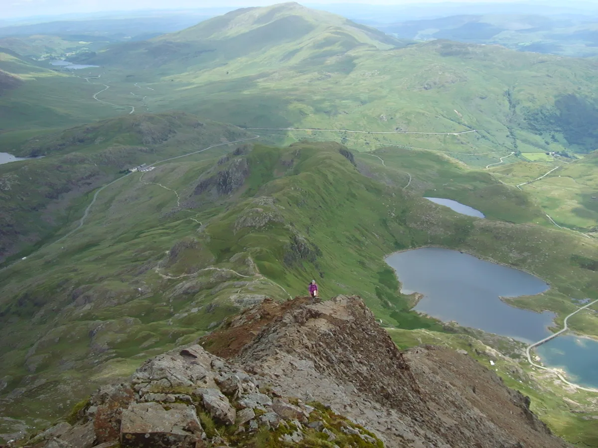
Learn the main routes before you read the detail. They are the frame for every other map you buy. For rail, check timetables with Transport for Wales and the Welsh Highland Railway operator.
Pen-y-Pass parking is the pinch point, so mark the main roads, A5, A470, A487, A498 and A4086, on your planning map before you drive.
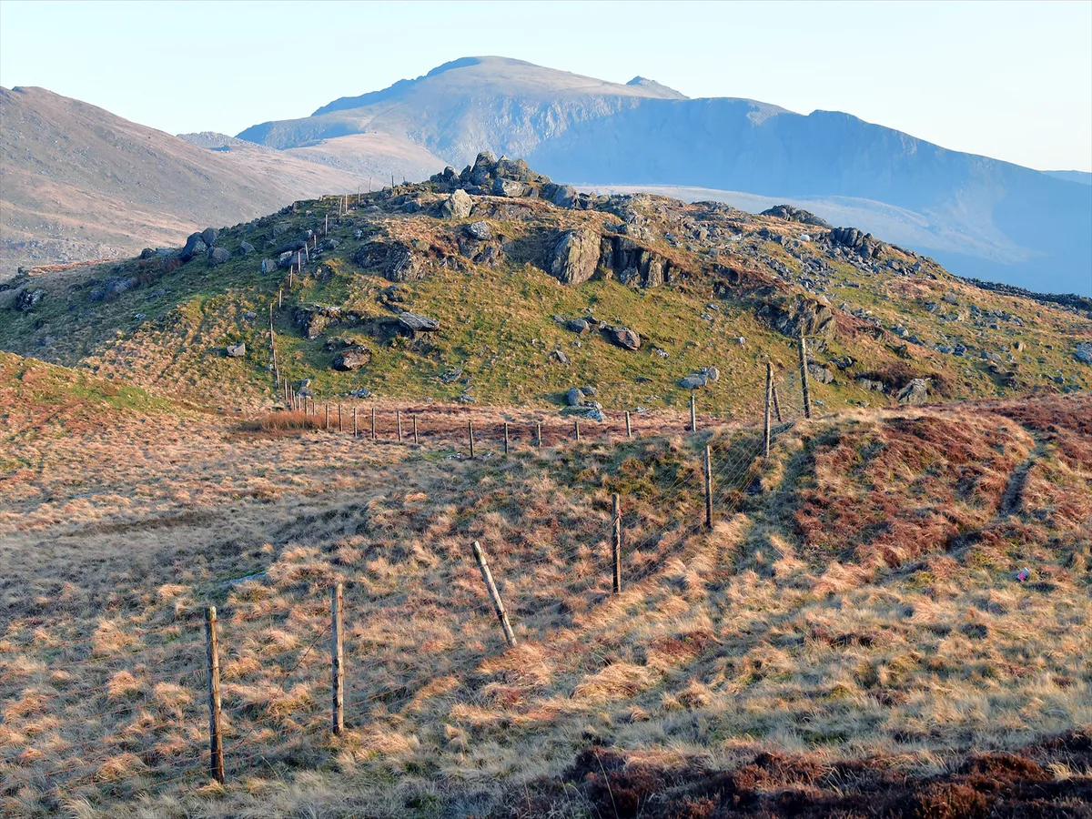
- Roads: A5, A470, A487, A498 and A4086.
- Rail: Conwy Valley, Cambrian, Ffestiniog and Welsh Highland lines.
Walking Routes by Difficulty
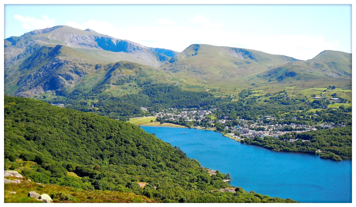
Group your options by grade before you choose a route. These grades follow the colour code used by a popular free walks map, and each route needs checking against an official source before you go. The best Snowdonia Waterfalls: Best Falls, Access and Tips sit on the easier end, and Swallow Falls, Snowdonia: Visiting Guide & Tips is a short stop near Betws-y-Coed.
- Easy: Aber Falls, and the riverside walk between Llanrwst and Betws-y-Coed.
- Moderate: Betws-y-Coed to Llyn Elsi, and Llyn Dinas to Beddgelert and the Pass of Aberglaslyn.
- Hard: Cadair Idris, Snowdon from Rhyd Ddu, and the Miners Track route from Pen-y-Pass.
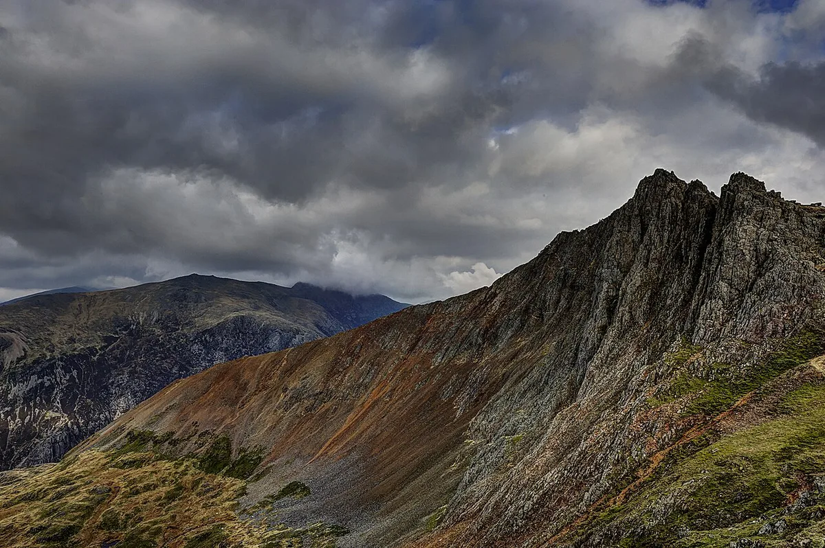
- Technical: Crib Goch and Tryfan, which involve scrambling.
Getting Around, Parking and Staying Connected
Parking is the pinch point at Pen-y-Pass, so read our Snowdonia parking guide before you drive. Trains and buses avoid that problem, but services are limited, so plan your return. Mobile signal drops in many valleys, so download offline maps before you leave your base. If you need a bed, see Hotels in Snowdonia: Best Bases and Where to Stay or Snowdonia Camping: Campsites and Wild Camping Rules.
Safety, Weather and Seasonal Limits
A map alone is not enough on high routes. Cloud can hide paths, and the technical routes need scrambling skills. Check our Snowdonia weather guide before choosing a ridge. Winter conditions change the whole picture, so read Snowdonia in Winter: What to Do, Weather & Safety before a cold-season walk. The Eryri National Park Authority publishes current access and safety advice. For Crib Goch or Tryfan, consider guided Snowdonia tours.
Common Mistakes When Using a Snowdonia Map
Most problems come from over-trusting one source. Avoid these.
- Relying on a phone map in a valley with no signal.
- Choosing a hard route because it is labelled a classic.
- Mixing up the Snowdon starts: Pen-y-Pass, Llanberis and Rhyd Ddu are different routes.
- Leaving the paper map and compass in the car.
Frequently Asked Questions
Can I walk up Snowdonia?
Yes. Snowdon is the park's highest mountain, and routes start from Pen-y-Pass, Llanberis and Rhyd Ddu. Choose your route by grade and carry a paper map.
Which month is best to visit Snowdonia?
It depends on whether you want high summits or lower walks. Our weather guide explains how conditions change through the year.
Notes for your next park visit
Optional updates to our national park guides.
Read next
Keep planning
Picked from the same area