
Sarek National Park: Access, Season & Who It's For
Sarek National Park is Sweden's expert-only wilderness. See how to get there, when to go, the risks, and easier alternatives such as Padjelanta.
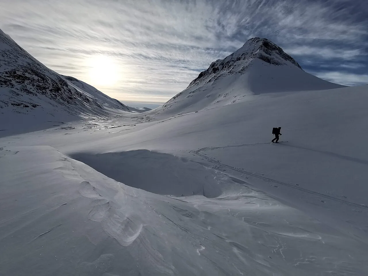
Last updated November 2026: Sarek National Park is a remote, unmarked wilderness in Swedish Lapland, with no roads, marked trails, bridges or cabins inside its boundary. It suits experienced, self-sufficient trekkers who can navigate with a map and compass and ford rivers. Padjelanta or Abisko are the realistic alternatives for most readers, and this guide shows how to choose.
Featured image: Gabrielwennstig, CC BY-SA 4.0, via Wikimedia Commons.
Sarek National Park at a glance
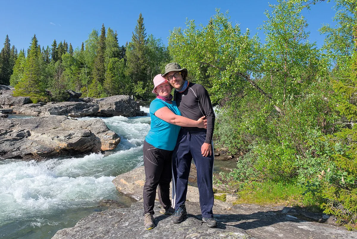
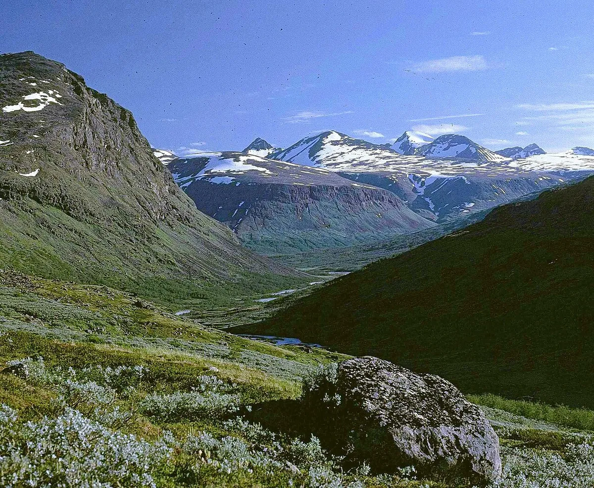
Sarek sits in Norrbotten, inside the Laponia World Heritage area. Its area is about 1,970 km², and the best window runs from July to September. Glaciated peaks, deep U-shaped valleys and braided rivers shape the terrain. Naturvårdsverket publishes the official park figures and rules. Swedish Lapland's Sarek destination page adds regional background. Verdict: this is an expert-only park, not a casual bucket-list stop.
- Status: national park in the Laponia World Heritage area, Norrbotten.
- Area: about 1,970 km².
- Best window: July to September.
- Infrastructure: no roads, marked trails, bridges or cabins.
- Skill level: expert navigation, river fording and full self-sufficiency.
- Wildlife: golden eagle and reindeer are likely sights, while brown bear and wolverine are rare.
Is Sarek right for you? A go or no-go checklist
Sarek punishes guesswork. Treat the checklist below as a go or no-go test. One honest 'no' on navigation, fording or self-sufficiency is reason enough to pick another park. Four parks compare in the table that follows.
| Park | Trail marking | Cabins | Access | Best months | Skill level | Time commitment |
|---|---|---|---|---|---|---|
| Sarek | None | None | On foot or by boat from surrounding villages | July to September | Expert | A week or more |
| Padjelanta | Padjelantaleden, 140 km | Every 10 to 20 km along the trail | Trailheads by bus or car from nearby villages | July to August | Moderate to hard | Multi-day, cabin to cabin |
| Abisko | Marked trails | Village services, none for backcountry use | Train on the Iron Ore Line | June to September, February to March | Easy to moderate | Day hikes to multi-day |
| Stora Sjöfallet | Well-marked Kungsleden section from Saltoluokta to Sitojaure | See STF for Kungsleden cabins | Road to Saltoluokta or Vakkotavare, then boat | July to September | Moderate to hard | Day trips to multi-day |
- Go: you navigate confidently with a paper map and compass, with GPS as backup.
- Go: you have forded cold, braided rivers before and know when to turn back.
- Go: you can carry food and fuel for a week or more.
- Go: your group is small, experienced and agrees on turn-back rules in advance.
- No-go: you rely on mobile signal or expect rescue within hours.
- No-go: this is your first Lapland trek.
Getting to Sarek: access points and logistics
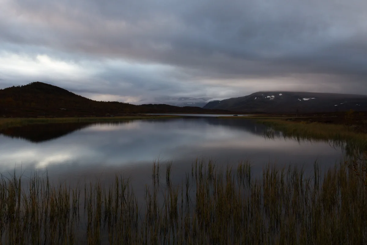
No road enters Sarek. Every trip starts on foot or by boat from a surrounding village. Kvikkjokk, Saltoluokta and Ritsem are the access points most trekkers plan around. Stora Sjöfallet, covering 1,278 km², is reached by road to Saltoluokta or Vakkotavare and then by boat. Boat timetables change by season, so check operators before you commit. Abisko is the opposite case, because its railway station sits inside the park. Our look at Abisko's rail access shows how different that is. Treat Sarek as a separate trip, since the two entry areas are far apart.
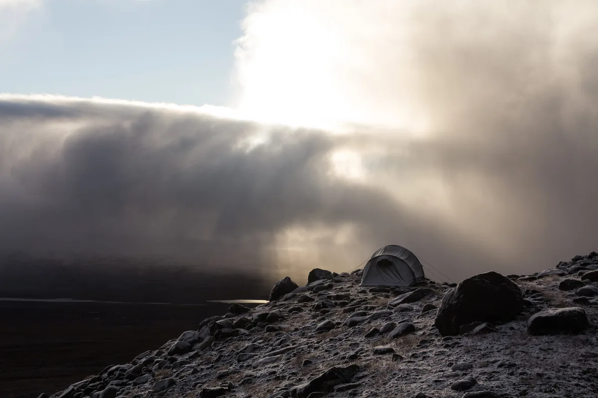
- Kvikkjokk: a village approach on foot into the park.
- Saltoluokta: reached by road, then by boat, and also the start of the Kungsleden section toward Sitojaure.
- Ritsem: an approach linked with Akkajaure, where boat transfers are part of the plan.
The best routes and landmarks for experienced trekkers
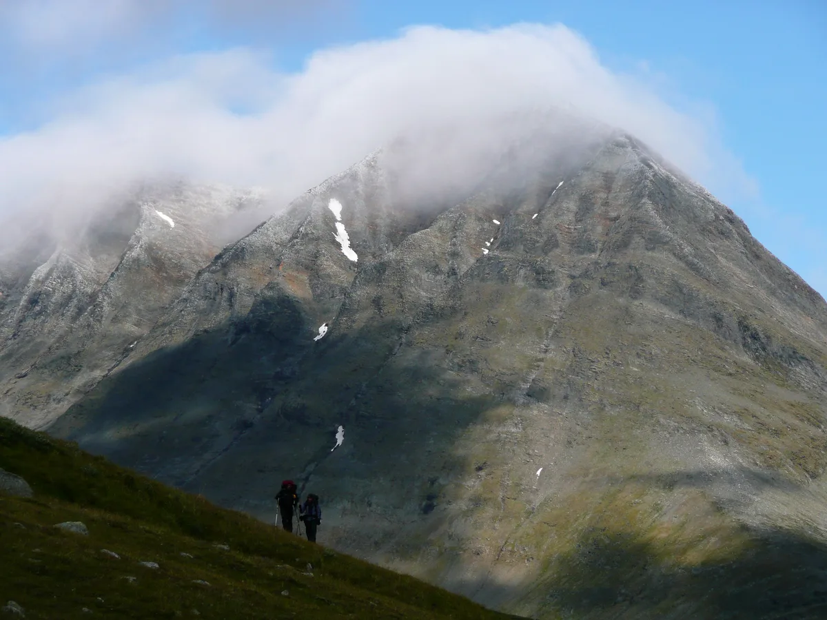
Sarek has no tourist stops, so treat its landmarks as route objectives. Rapadalen valley and the Skierfe viewpoint are the two most often named. Neither comes with distances or day counts we can stand behind, so build your plan from a current topographic map. Every route involves river fords. Turning back is the standard bailout.
- Rapadalen valley traverse: expert difficulty. Main hazard is river fording, and bailout means retreating to the nearest access village or waiting for water to drop.
- Skierfe viewpoint via Aktse: hard difficulty. Plan the approach and return around river levels, and carry a satellite messenger in case plans fail.
Independent, guided or viewpoint-only: time, cost and access
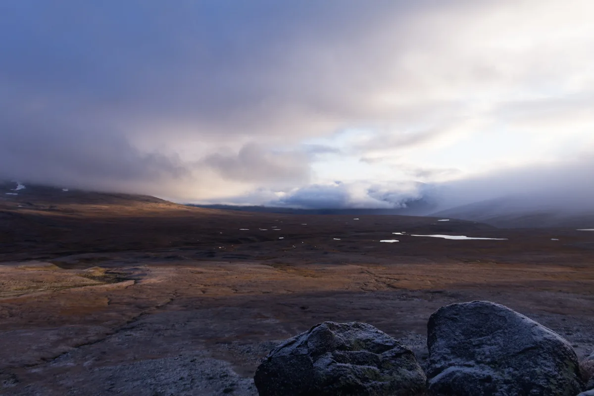
Sarek costs show up as transport, food and gear rather than entry fees. Compare your options in relative terms before you commit. Guided trips may suit those who lack navigation or fording experience, so check whether licensed operators run your dates.
| Option | Time | Cost | Access effort | Risk level |
|---|---|---|---|---|
| Independent trek | High: a week or more | Medium to high: transfers, food, fuel and gear | High: village access, boats and full self-sufficiency | High, carried by you |
| Guided trek | High: set itinerary | High: operator fees (check current offers) | Medium: logistics handled by the operator | Medium |
| Short visit from an access village | Low to medium | Low to medium | Medium: still no road into the park | Medium: weather and fords still apply |
When to go: season, river levels and weather
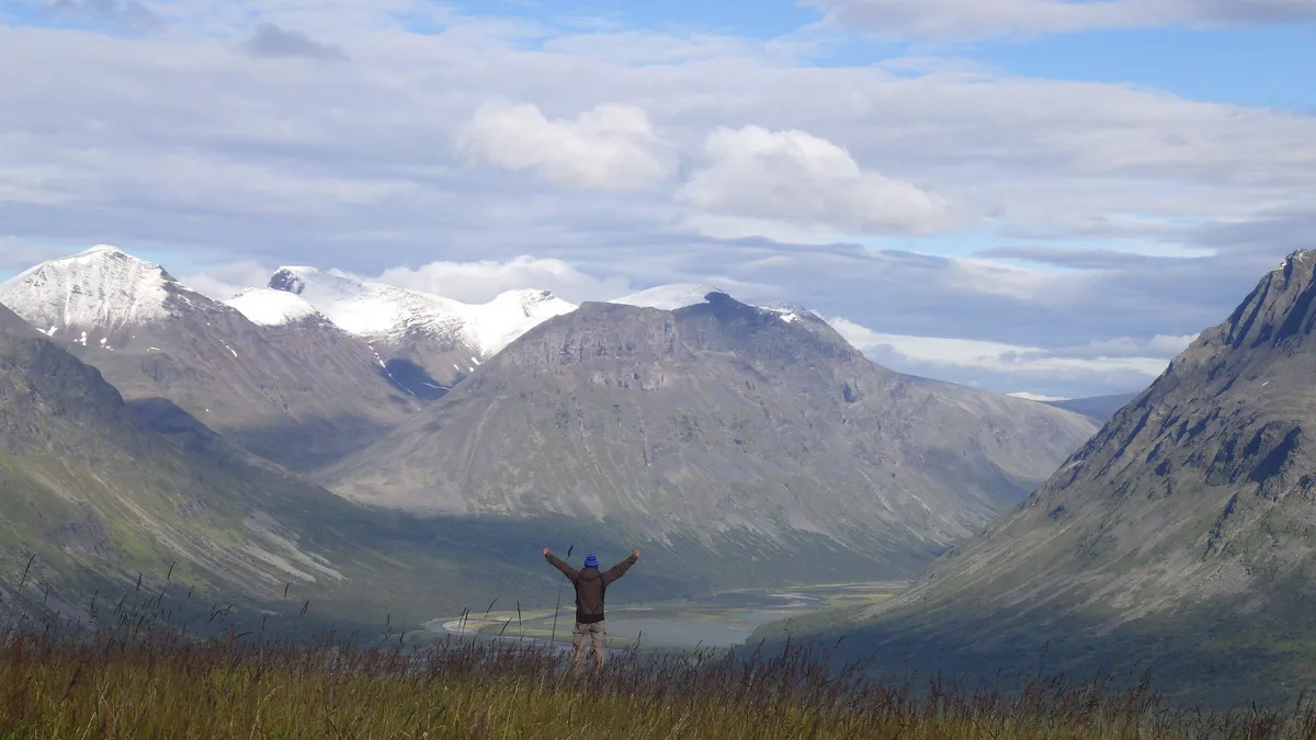
July to September is the working window for Sarek. Snowmelt keeps rivers high early in summer, and snow can linger on higher ground. Daylight is long in midsummer. Mosquitoes peak in warm spells. Autumn colours arrive late in the window. Heavy rain can turn a fordable stream into a barrier. Conditions change fast, so carry slack days in your schedule. For regional climate patterns, read our Abisko weather guide, which is context only and not a Sarek forecast. Check forecasts at SMHI before each leg.
Safety, rules and permits in Sarek
Published guidance describes no permit requirement for hiking in Sarek. Confirm camping, fire, drone and reindeer-area rules with Länsstyrelsen Norrbotten and Naturvårdsverket before you leave. Mobile signal is missing across much of the park. Carry a satellite messenger or personal locator beacon. Call 112 in an emergency, and expect a long wait for help. Three mistakes recur, so keep them in view.

- River fords attempted after heavy rain.
- Too little food for delays caused by high water.
- No backup navigation if the map or GPS fails.
What to pack and what to eat
Plan for full self-sufficiency for a week or more. Food, fuel and spare layers all come in with you. Footwear for fording matters as much as boots. Wildlife includes brown bear and wolverine, though sightings are rare. Golden eagle and reindeer are likelier sights.
- Topographic map set and compass, with GPS as backup.
- Dedicated fording footwear.
- Food and fuel for the full trip plus spare days.
- Satellite messenger or personal locator beacon.
- Waterproof layers for sudden weather changes.
- Insect protection for mosquito season.
Where to stay: camping, huts and base towns
No cabins stand inside Sarek, so you camp. Camping and fire rules differ by park, so read Sarek's current rules first. Your base options sit outside the park, at access points such as Kvikkjokk, Saltoluokta and Ritsem. Abisko offers more services, and Abisko lodging options work as a fallback for non-trekkers. Remember that Abisko is far from Sarek's entry points.
Alternatives if Sarek is too much
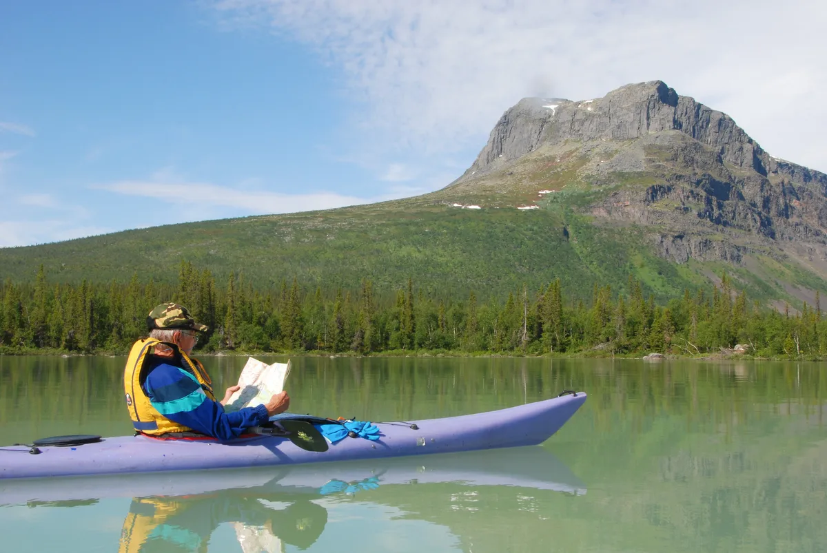
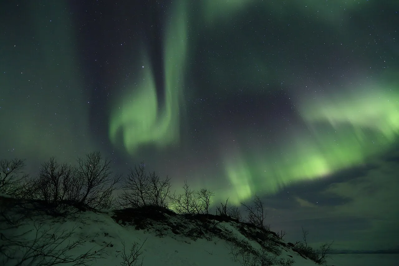
Padjelanta is the easiest step down in difficulty. Padjelanta's marked trail, Padjelantaleden, runs 140 km with cabins every 10 to 20 km. It covers 1,984 km² of open fjäll, which is close to Sarek's scale. Day hikes from Abisko's trail network need only a train ticket. Winter visitors come for the aurora, with February to March the best mix of daylight and dark. Browse Abisko activities for both seasons. Skuleskogen's granite crevice loop suits a day on the High Coast, as covered in our Skuleskogen guide. Southern day walks need no wilderness skills. Fulufjället is another forest option. Tyresta's old-growth forest lies 20 km south of Stockholm. Söderåsen's ravine loop takes about three hours. Kosterhavet adds a coastal option. Compare every option in our overview of Swedish parks. For a ranked view, see our picks of the best parks.
Padjelantaleden runs 140 km, a marked route with cabins, which makes it the step down if Sarek's unmarked ground feels too risky.
Notes for your next park visit
Optional updates to our national park guides.
Read next

Keep planning
Picked from the same area