
Padjelanta National Park Guide: Trail, Access, Cabins & Rules
Plan Padjelanta National Park: the Padjelantaleden trail, when to go, how to get there, cabins vs. camping, rules and who it suits.
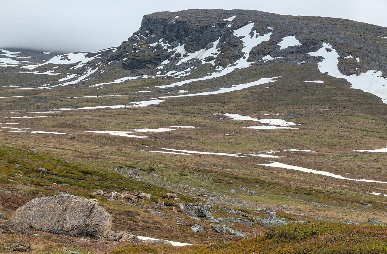
Last updated November 2026. Padjelanta National Park is Sweden's largest national park, a high open plateau in Swedish Lapland and part of the Laponia World Heritage Site. It is a remote multi-day hiking destination rather than a day-trip park, so this guide covers the trail, access, cabins, rules and who should skip it. For wider context, start with our overview of 8 National Parks in Sweden: How to Choose the Right One.
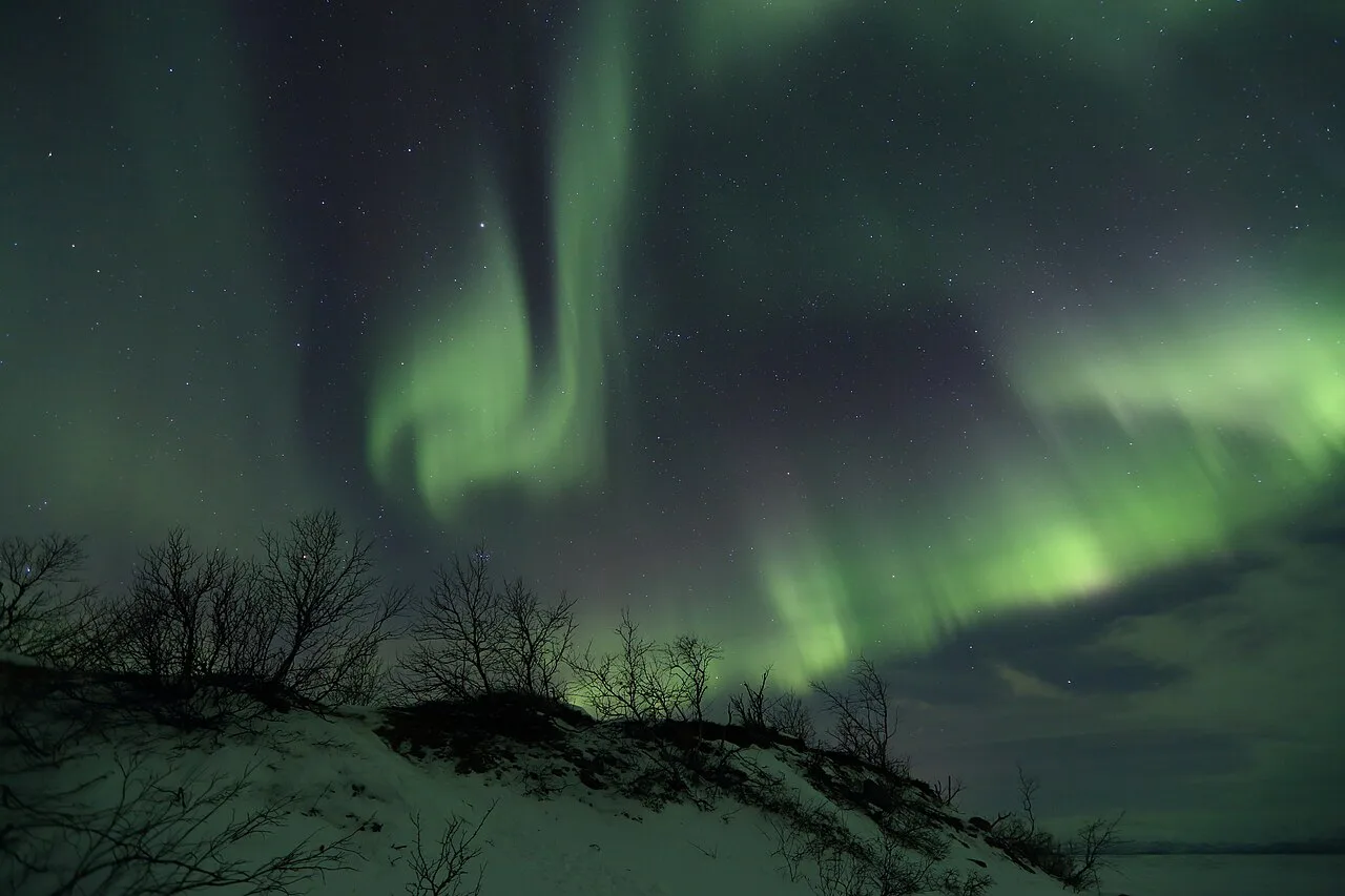
Featured image: Trougnouf (Benoit Brummer), CC BY 4.0, via Wikimedia Commons.
Padjelanta National Park at a glance
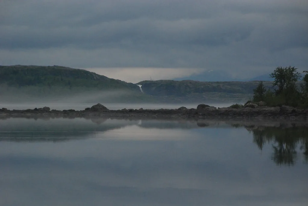
Padjelanta is also written Badjelánnda in Lulesámi, and the name means "the higher land". Rolling green plateaus and long horizons define the park, and no forest breaks the wind. Reindeer herding on Sami land continues here, so you walk through a working landscape. Next door, Sarek's steep valleys offer much harder terrain, while Padjelanta is usually described as the easier of the two.
| Fact | Detail |
|---|---|
| Status | Sweden's largest national park |
| Region | Swedish Lapland, inside the Laponia World Heritage Site |
| Main trail | Padjelantaleden, Ritsem to Kvikkjokk |
| Reported trail length | About 140–160 km (87–99 miles) |
| Key settlement | Staloluokta, a Sami settlement in the middle of the park |
| Facilities | Dry toilets at the cabin sites along the trail |
Padjelantaleden trail overview
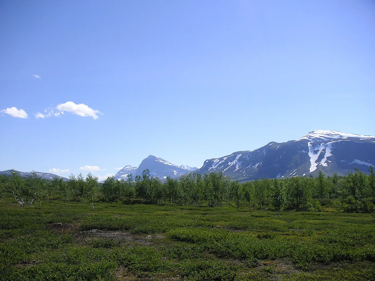
Padjelantaleden runs between Ritsem in the north and Kvikkjokk in the south. Most hikers walk north to south. Reported distances are about 140–160 km, depending on route choice. Most people take 10–12 days, at roughly 15–20 km (9–12 miles) per day with a full pack. The path is marked with red crosses, and the terrain is gentler than Sarek's. Strong wind over Lake Virihaure can still force a rest day in the tent, so build slack into your schedule.
Walkers: Most people take 10–12 days, and each end needs at least a day of travel on top.
| Trip style | Rough time (estimate) | Best for |
|---|---|---|
| Full trail, Ritsem to Kvikkjokk | 10–12 days | Hikers who want the whole plateau |
| Section hike from one end | Several days, then an exit | People short on time who accept a return leg |
| Cabin-based trip | Same as the full trail, with fixed nightly stops | Hikers who prefer a lighter pack and a roof |
| Helicopter to Staloluokta, then walk | Shorter than the full trail | Hikers who skip the northern leg |
When to go to Padjelanta
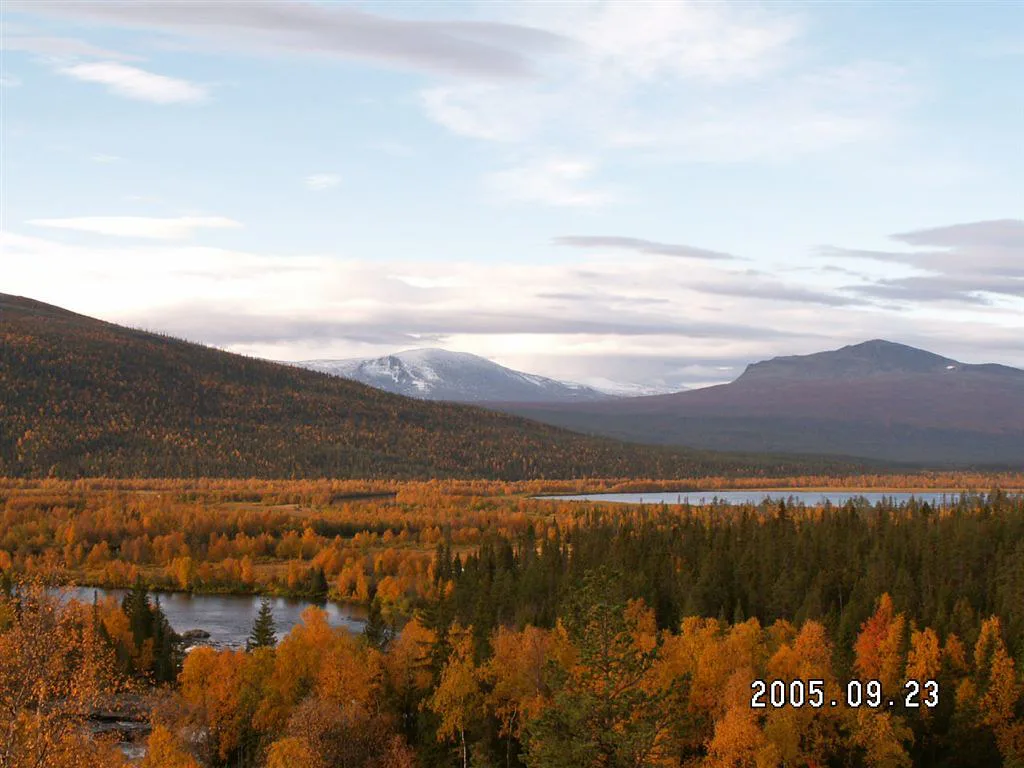
The usual window runs from late July to early September. Earlier in summer, mosquitoes can be intense in the low marshy ground. Later in the season, the first snowfall can arrive without much warning. July brings midnight sun, while late August brings longer nights and cooler air. Cabin and boat operating dates change by year, so check them with each operator before fixing your dates. For mountain conditions, use forecasts from the Swedish weather service SMHI.
Getting there and getting out
No road enters the park, so plan travel days at both ends. At the northern end, you reach Ritsem by bus and then cross the Akkajaure lake by boat to the trailhead. At the southern end, you finish at Kvikkjokk and arrange onward transport from there. A helicopter can fly hikers to Staloluokta if you want to shorten the trip. Book each leg early and confirm operator, season and fares directly, since none of them run all year. For regional planning, Swedish Lapland's tourism site is a good starting point. If you want an easier, road-accessible alternative in the north, read about reaching Abisko instead.
- Ritsem: bus connection, then the Akkajaure boat.
- Staloluokta: optional helicopter landing mid-park.
- Kvikkjokk: finish point, with onward transport to arrange.
- Plan at least a day of travel on each end of the walk.
Cabins, camping and Sami services
Cabins stand along the trail, run either by the Swedish Tourist Association (STF) or by Sami operators under the name Badjelánnda Laponia Turism. Dry toilets are provided at the cabin sites. Staloluokta is the main settlement and works as a natural midpoint. Bring your own food and stove, and plan resupply carefully because there are no shops along the route. Tents give you the most freedom, and a tent is also a safety backup if a cabin is full. Fees vary by operator, so use this checklist to price your trip.
- Transport legs: bus, Akkajaure boat and the return from Kvikkjokk.
- Cabin nights or camping fees.
- Food for the whole trip, since you cannot buy it on the trail.
- Optional helicopter flight to Staloluokta.
- Gear you still need to buy or rent.
Rules and safety in the park
Dogs are generally not allowed in the park in summer, from 1 May to 31 December. Check the current rule with the park authority before you plan to bring one. Use a camp stove instead of a fire, because firewood is scarce and the low vegetation is fragile. There are no trash cans, so carry out all rubbish. Respect reindeer and herding activity. Mobile coverage is almost nonexistent, except near Staloluokta and the trail ends. Carry a personal locator beacon (PLB) and a paper map with a compass. In dense fog, even a well-worn path can become hard to follow.
- Underestimating daily distance with a heavy pack.
- Bringing a tent that cannot handle wind on open ground.
- Assuming your phone will work or that shops exist.
- Planning to bring a dog without checking the rules.
What to pack, briefly
Keep the list short and practical. Choose a wind-stable tent for the open plateau. Pair a sleeping bag with an insulating pad, because cold ground can ruin sleep even in August. Add a stove, a map and compass, a PLB, and rain gear for horizontal weather. Test everything at home before you leave.
Who should choose Padjelanta, and who should skip it
Choose Padjelanta if you want wide horizons, Sami landscape and a long trail with cabin stops. Skip it if you have only a weekend, need roads and shops, or want steep alpine scenery. For a shorter northern trip, read 12 Things to Do in Abisko: Aurora, Hikes & Day Trips or visit Abisko National Park Guide: When to Go & How to Visit. Easier southern options include Fulufjället, which suits first-time hikers. Our ranking of Sweden's best parks compares more options.
| Padjelanta | Sarek | Abisko | |
|---|---|---|---|
| Terrain | Open plateau, rolling | Steep, hard, trackless valleys | Mountain trails, road access |
| Remoteness | Very remote, days from help | Most remote of the three | Easiest to reach |
| Cabins | STF and Sami cabins on trail | None on the main routes | Mountain station nearby |
| Access | Bus and boat from Ritsem, or Kvikkjokk | Long approaches | Road and rail |
| Best for | Multi-day plateau hikers | Experienced wilderness trekkers | Short stays and day hikes |
Notes for your next park visit
Optional updates to our national park guides.
Read next

Keep planning
Picked from the same area