
Skuleskogen National Park: Entrances, Trails & Planning Guide
Plan Skuleskogen National Park: compare the West, South and North entrances, see the canyon route, and learn when to go and how to get there.
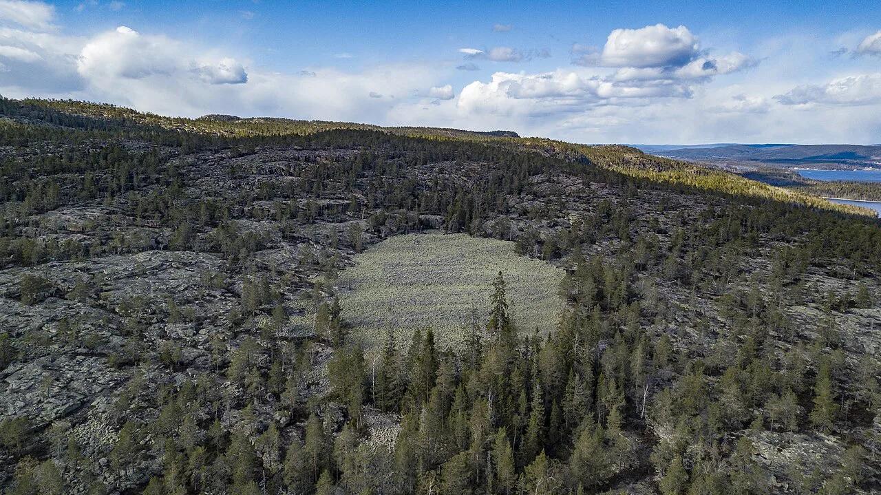
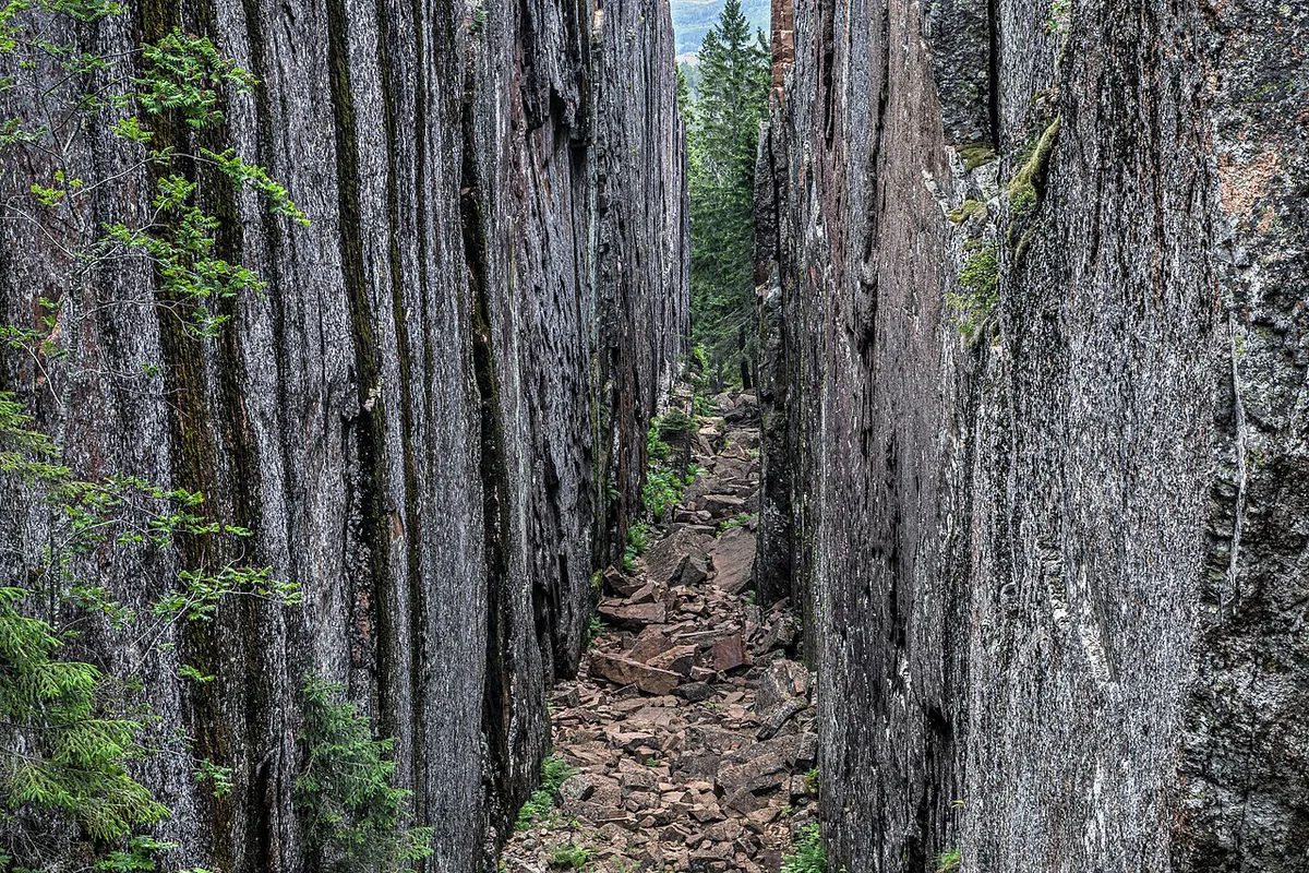
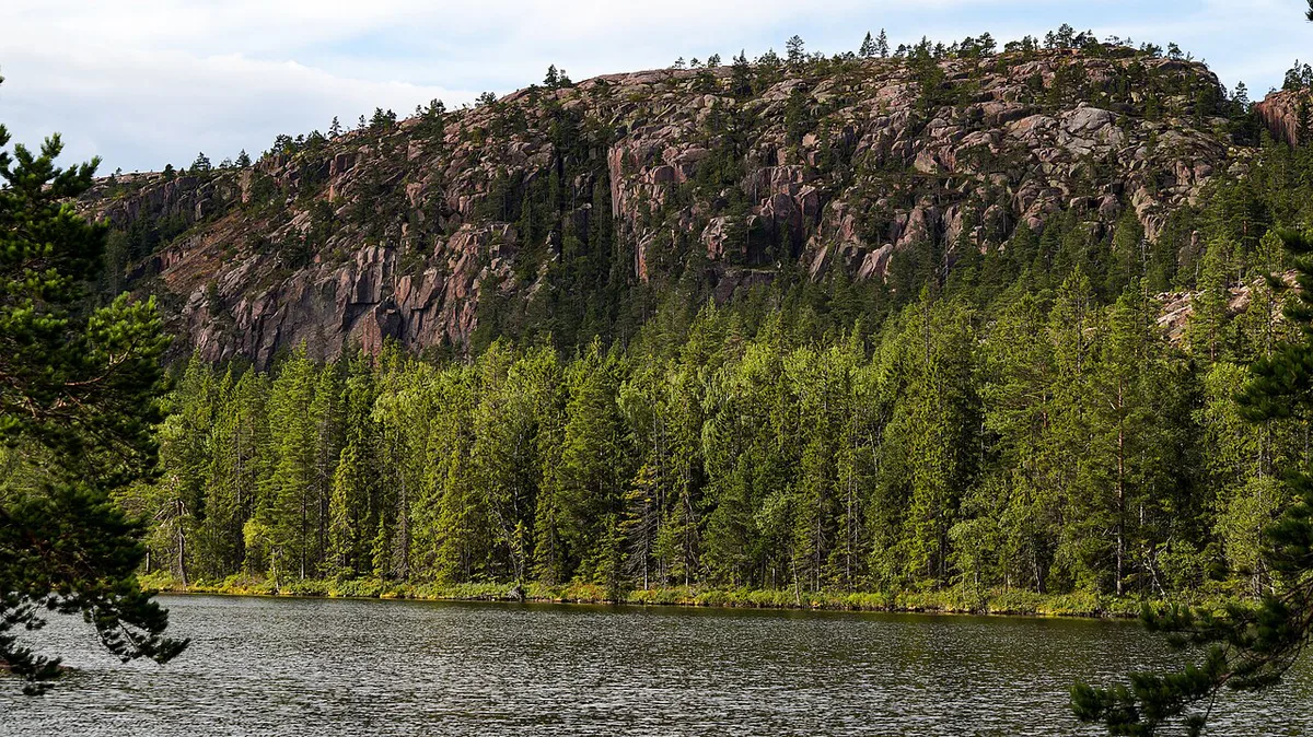
Last updated November 2026: Skuleskogen National Park is a Baltic coast park in Västernorrland County on the High Coast, with about 30 km of trails and three entrances. Slåttdalsskrevan canyon, with its 40-metre vertical rock walls, is the headline sight. Choosing the right entrance shapes your whole day, so this guide turns that choice into a simple rule.
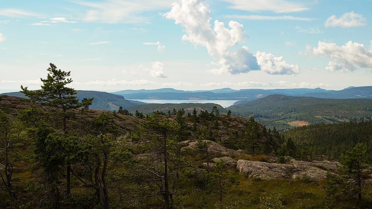
Featured image: Jonomorph, CC BY-SA 4.0, via Wikimedia Commons.
Skuleskogen National Park at a glance
Skuleskogen became Sweden's 19th national park in 1984 and covers 30.62 km² (about 11.8 square miles). Its 30 km of trails (about 19 miles) can be reached from any of the three entrances. Docksta is the nearest town, about 40 km south of Örnsköldsvik. Local planning details sit on the High Coast official tourism site. Skuleskogen is one of the parks in our Sweden national parks overview.
- Established: 1984
- County: Västernorrland
- Area: 30.62 km²
- Trails: about 30 km
- Entrances: West, South and North
- Nearest town: Docksta
- Who it suits: day hikers, families using the West boardwalk, swimmers, and campers who want a cabin or tent night
Which Skuleskogen entrance should you use?
Each entrance serves a different kind of visit. Pick by what you want to see first, then plan the rest of the loop around it.
| Entrance | Best for | Nearby sights and distances | Accessibility | Winter access |
|---|---|---|---|---|
| West (Entré Väst) | Families, step-free visits, a longer canyon hike with more sights on the way | 200 m boardwalk to a viewing platform; Nylandsruten about 800 m; Långtjärnhällorna loop from about 1.2 km | Wide boardwalk and gravel trail to Nylandsruten suit wheelchairs and strollers | Closed in winter |
| South (Entré Syd) | Canyon-first hikers and swimmers | Closest to Slåttdalsskrevan; Kälsviken beach about 1 km; Näskebodarna about 3.8 km | Hiking trails; no step-free route is described | Open; the only winter entrance |
| North (Entré Nord) | Quiet, coastal visits | 70 m boardwalk to Salsviksbäcken; Tärnättholmarna 3.5 km, with cabins | Short boardwalk to the river banks | Closed in winter |
- Canyon first: use the South Entrance.
- Step-free or stroller visit: use the West Entrance.
- Quiet and coastal: use the North Entrance.
- Winter: the South Entrance is your only option.
Best things to see in the park
Every sight below can be reached from any entrance, but one entrance is always shorter. The list notes the closest start for each.
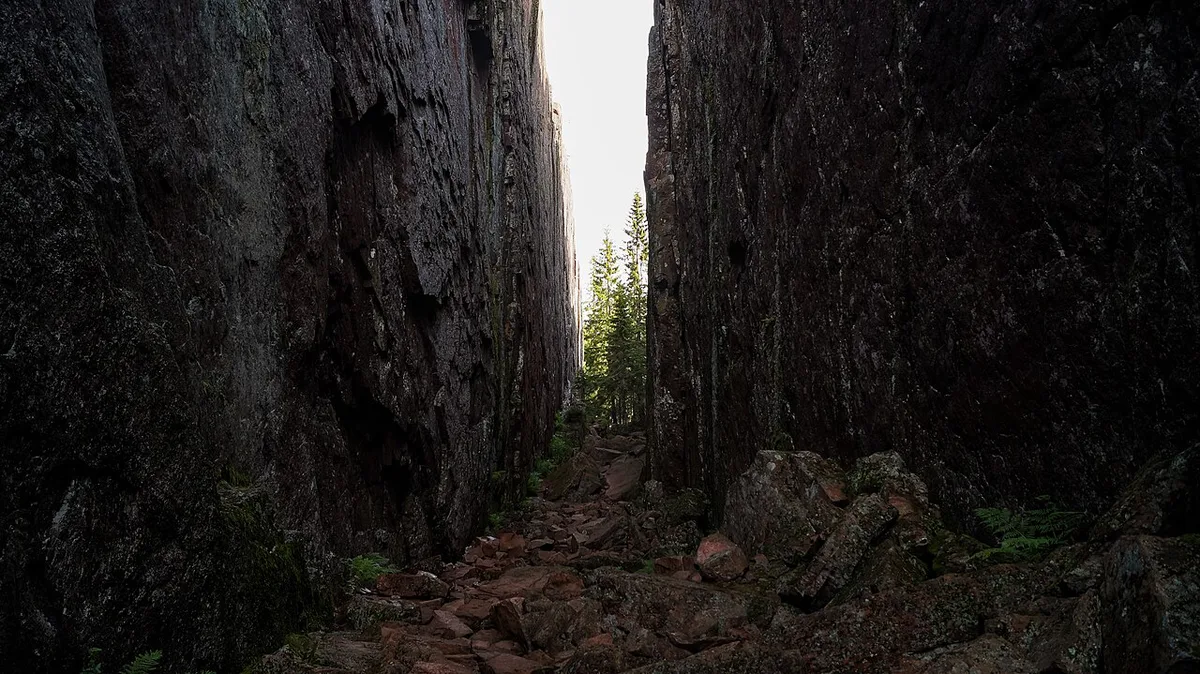
- Slåttdalsskrevan: a canyon with 40-metre vertical rock walls and the park's best-known sight. The South Entrance is closest, and the walk from the West Entrance is longer but passes more.
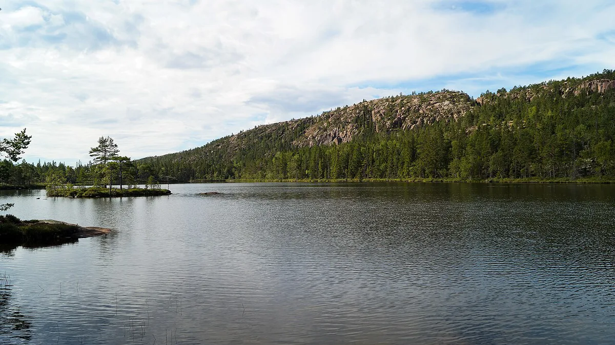
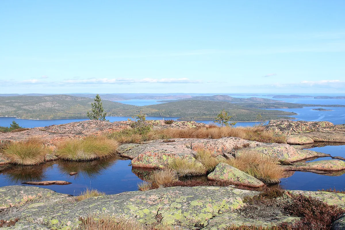
- Slåttdalsberget: a barren granite mountain, 280 m high, with a wide view over the coast and forest. Hikers combine it with the canyon.
- Trollporten: a small crevasse with a rock wedged across the top. Find its position on the trail map.
- Nylandsruten: a viewpoint about 800 m from the West Entrance. It is a till-capped mountain with a forested peak and bare sides.
- Långtjärnhällorna: a loop trail that starts about 1.2 km from the West Entrance. It follows smooth rock and boardwalks.
- Tärnättholmarna: small peninsulas that were islands not long ago, 3.5 km from the North Entrance. Cabins stand here, and the outer rocks suit swimming.
- Näskebodarna: a summer grazing farm used from the mid-1800s by spring herring fishermen. It lies about 3.8 km from the South Entrance.
- Kälsviken: a sandy bay about 1 km from the South Entrance, popular for swimming and tenting.
Sample plans for a short visit, a canyon day and a night out
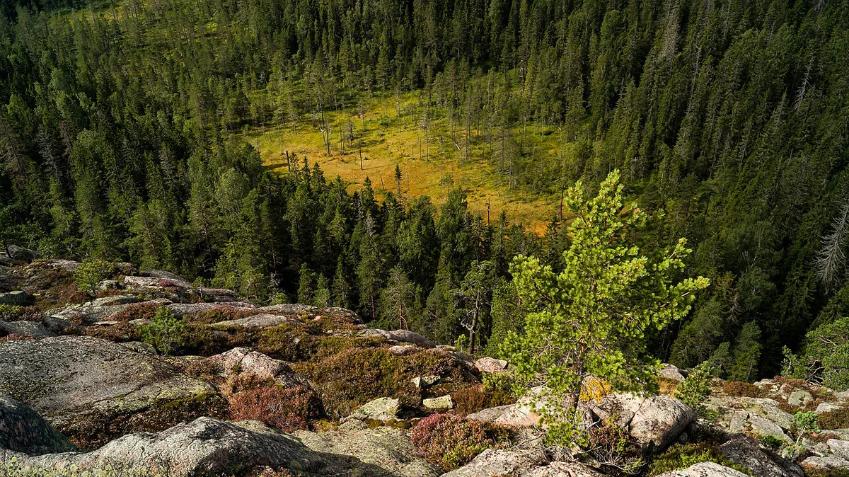
These plans use only distances from the park's entrance information. Check the Naturkartan trail map on the Sweden's national parks site before you set out, since it shows rest areas and current trail routes.
- Short visit (West Entrance): walk the 200 m boardwalk to the platform, continue about 800 m to Nylandsruten, then add the Långtjärnhällorna loop from about 1.2 km.
- Canyon day (South Entrance): hike to Slåttdalsskrevan, climb Slåttdalsberget for the view, and rest at Tärnättvattnen. Add the Kälsviken detour of about 1 km on the way out if the weather is warm.
- Overnight idea (South): walk 3.8 km to Näskebodarna, where you can use the cabin or pitch a tent in the meadow. Leave the private summer cabins nearby alone.
- Overnight idea (North): walk 3.5 km to Tärnättholmarna, where cabins are available.
When to go and what to bring
Skuleskogen has a subarctic climate, with snow cover that lasts about 175 days on average. In winter only the South Entrance is open, so the West and North routes are summer and shoulder-season options. Warm summer days suit swimming at Kälsviken and Tärnättholmarna. Look at the SMHI forecast before you leave, because local weather varies with the terrain.
- Bring: a physical map and compass, since the digital Naturkartan map is a planning tool only.
- Bring: footwear for bare granite and boardwalk, plus a swimsuit in summer.
- Avoid: relying on one entrance without checking the route back.
- Avoid: assuming the West Entrance is the shortest way to the canyon; the South Entrance is closer.
- Avoid: skipping the map because the trails look short.
Getting to Skuleskogen and where to stay
The park lies just outside Docksta, about 40 km (25 miles) south of Örnsköldsvik. You can drive to all three entrances, and each is signposted from the E4. Bus 50 runs from Härnösand or Örnsköldsvik to the West Entrance. Get off at the Skule Entré Väst E4 stop and walk the last 1.5 km (about 0.9 mile). Bus timetables are on DinTur. Without a car, that means starting from the West Entrance, where the canyon hike is longer. Naturum Höga Kusten, at the foot of Skuleberget, gives advice and exhibitions before you go in. Skulegrottan, the cave on Skuleberget, is not inside the park. Örnsköldsvik, Härnösand and Docksta work as base towns, so check current accommodation options there.
Why the landscape looks like this
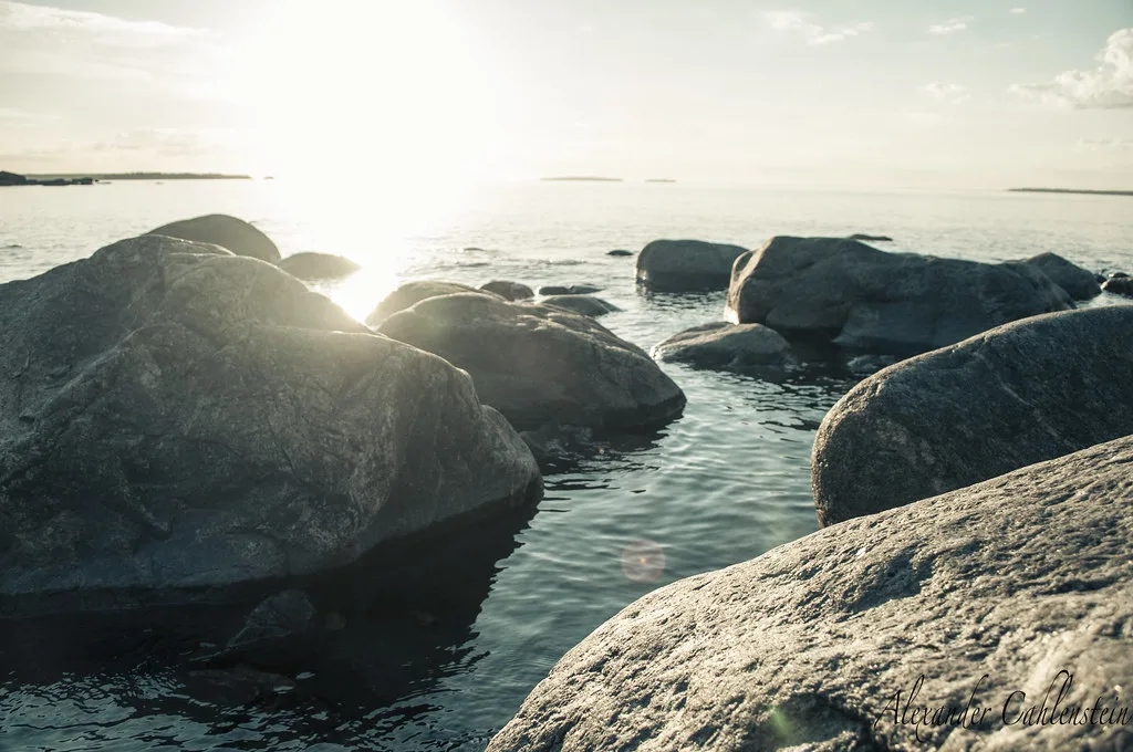
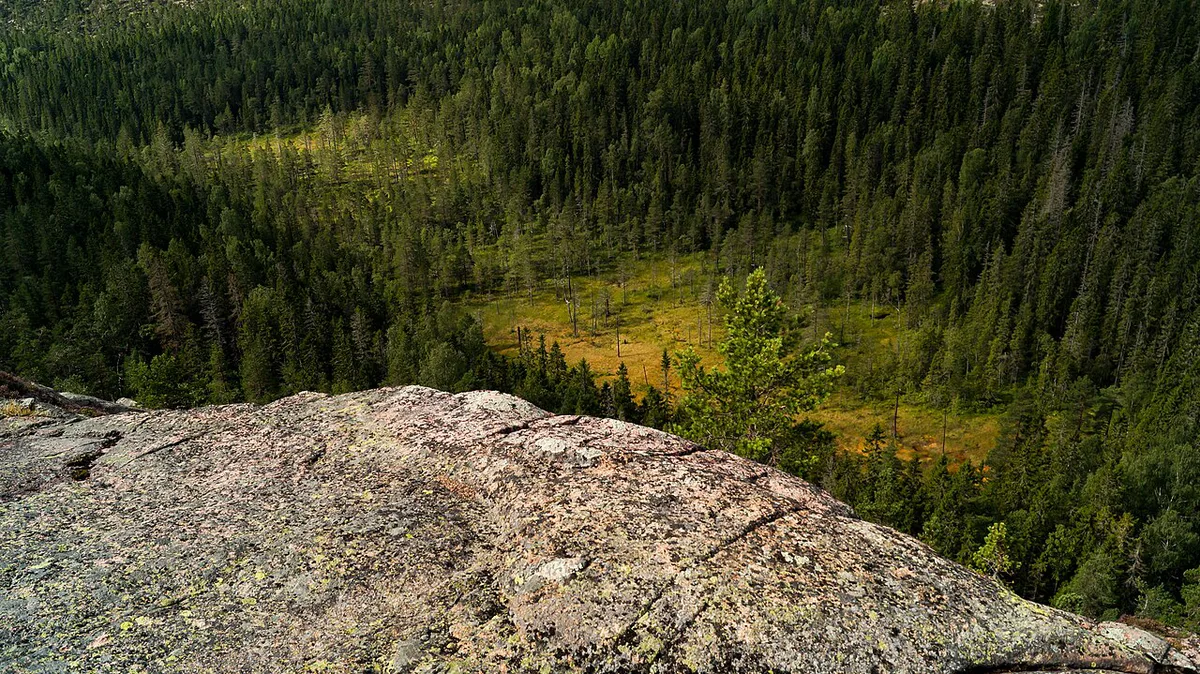
The High Coast has been a UNESCO World Heritage Site since 2000. After the ice sheet melted, the land began rising at about 8 mm a year. Tärnättholmarna shows this clearly, as its islands are turning into peninsulas. The red Nordingrå granite you walk on is also why Slåttdalsberget looks so bare.
Tärnättholmarna, 3.5 km from the North Entrance, was an island not long ago, because the land rises about 8 mm a year.
Skuleskogen versus other Swedish national parks
Skuleskogen suits a day or a single night, with road access and marked trails from three entrances. Other Swedish parks need a different kind of planning. Our ranking of Sweden's parks compares them side by side.
- For a northern trip, read our Abisko park profile.
- For longer wilderness planning, see our Sarek planning guide.
- For a forest close to Stockholm, try our Tyresta park profile.
- For a ravine-and-beech landscape, see our Söderåsen profile.
- For Sweden's highest waterfall area, read our Fulufjället profile.
- For a marine park, see our Kosterhavet profile.
- For remote hiking in Lapland, read our Padjelanta profile.
Notes for your next park visit
Optional updates to our national park guides.
Read next

Keep planning
Picked from the same area