
Pyrenees National Park Guide: Valleys, Hikes & Where to Stay
Plan Pyrenees National Park in France: which valley to choose, how to get there, bivouac and refuge rules, and when to go.
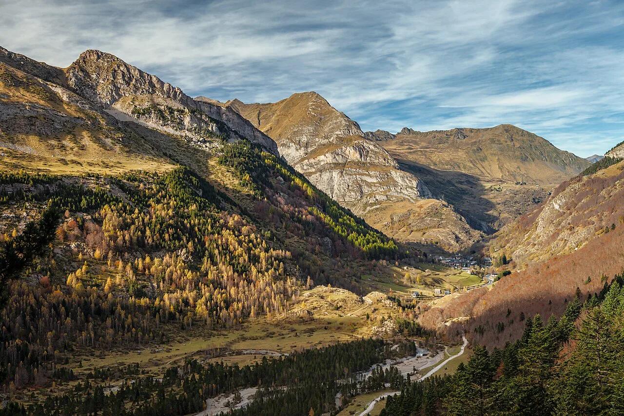
Last updated November 2026: Pyrenees National Park is a hiking-centred high-mountain park on the French side of the Spanish border. It covers six valleys in Hautes-Pyrénées and Pyrénées-Atlantiques, and part of it belongs to the UNESCO-listed Pyrénées–Mont Perdu landscape. There is no single gate or ticket office, so you plan by valley and trailhead, as in our overview of France's national parks.
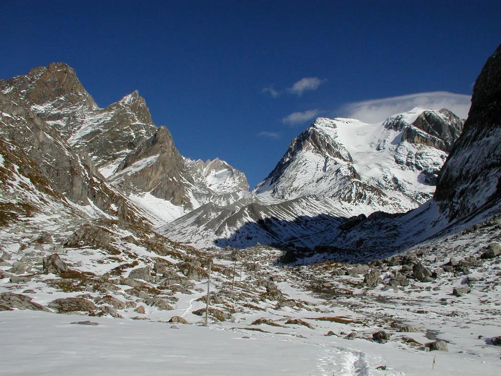
Featured image: Moahim, CC BY-SA 4.0, via Wikimedia Commons.
Pyrenees National Park at a Glance
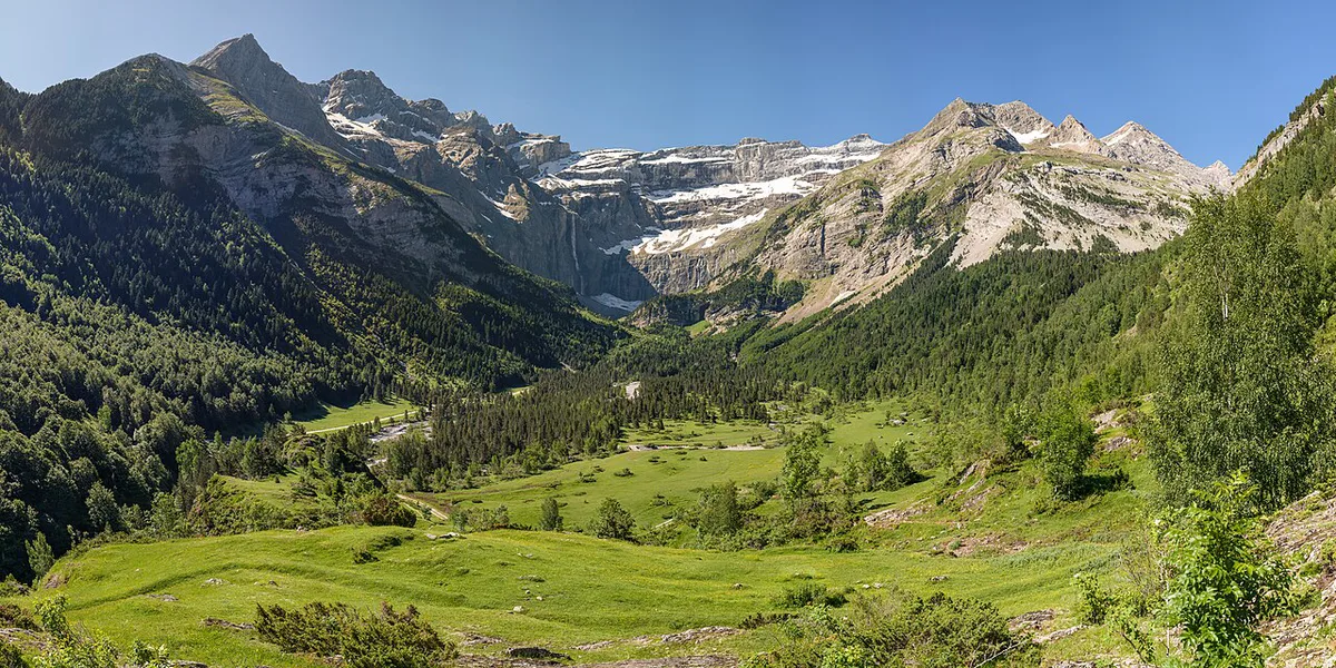
Parc national des Pyrénées was created on 23 March 1967 and follows the border with Spain. Its protected heart covers 45,707 ha across 15 municipalities. Altitude runs from 1,273 m to 3,298 m at Vignemale (about 4,176 to 10,820 ft). A wider adhesion zone surrounds the heart, with more flexible rules. Since 1997, part of the Hautes-Pyrénées sector has formed the Pyrénées–Mont Perdu World Heritage complex with Spain's Ordesa y Monte Perdido National Park. About 450 km (roughly 280 miles) of trails link the six valleys. Regulations and valley maps are on the official park site. This park suits walkers, scramblers and stargazers, not travelers who want a drive-up viewpoint with a car park and a turnstile.
Which Valley to Choose
Six valleys run from Aspe in the west to Aure in the east. Each one has a different signature landscape, so pick the valley before you pick a hotel.
| Valley | Signature sight | Base town | Effort | Season window | Best fit |
|---|---|---|---|---|---|
| Aspe and Ossau | Midi d'Ossau peak | Laruns, Etsaut | Moderate to demanding | Summer | Hikers who want pastoral scenery and fewer crowds |
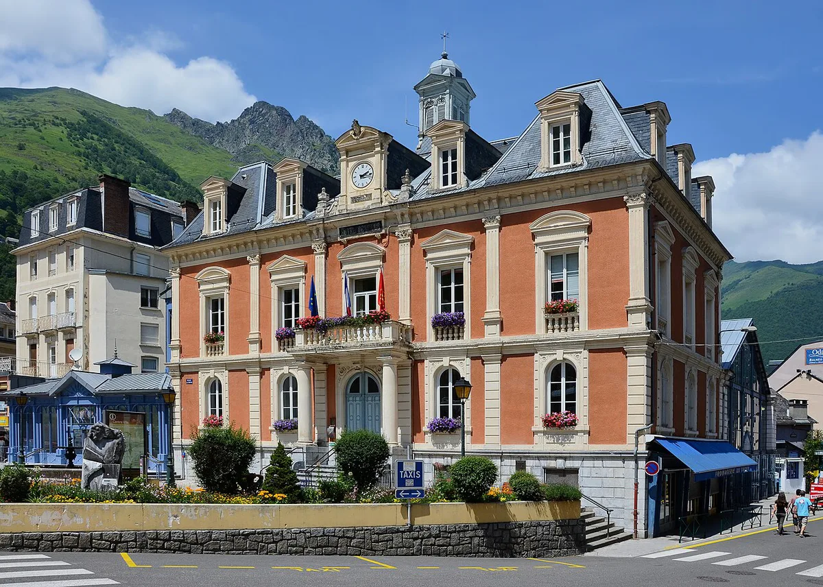
| Cauterets and Vignemale | Gaube lake, Vignemale | Cauterets | Easy to demanding | Summer | First-timers who want waterfalls and a choice of route length |
| Gavarnie and Luz | Cirque de Gavarnie, Troumouse, Estaubé | Luz-Saint-Sauveur, Gavarnie | Easy to demanding | Summer | Travelers who want glacial cirques |
| Néouvielle and Aure | Néouvielle massif, Orédon and Aubert lakes | Aure valley villages | Moderate | Summer | Lake walkers and bivouac planners |
Best Things to Do
Hiking comes first, and the 450 km network mixes short walks with multi-day routes. Pair one easy outing with one demanding day so the trip has a rhythm.
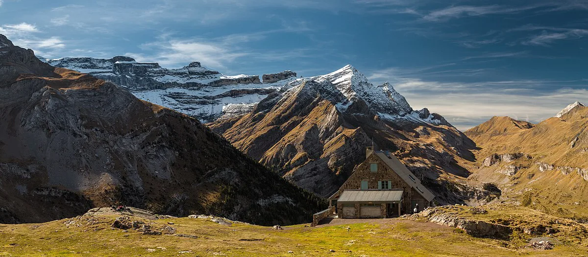
- Cirques: Gavarnie, Estaubé and Troumouse were carved by glaciers, and Gavarnie and Troumouse are inscribed by UNESCO.
- Lakes: Gaube lake near Cauterets, plus Orédon and Aubert in the Néouvielle reserve.
- Peaks: Midi d'Ossau, an old volcano, and Vignemale, the highest summit in the French Pyrenees.
- Refuge nights: Valon refuge in the Marcadau valley, Oulettes refuge below Vignemale's north face, and Espuguettes refuge above Gavarnie. All three need a real hike.
- Stargazing: the high, clear summer sky suits night walks and star-watching stays.
- Pastoral and bird experiences: transhumance landscapes, plus bearded vultures on the cliffs.
How to Plan Your Time
Distance between valleys, not distance on the map, decides how much you can fit. Treat each valley as its own trip.
- One day: choose one valley and one base, such as Cauterets or Luz-Saint-Sauveur, and walk a single cirque or lake route.
- Two to three days: stay in one valley and add a refuge night, or link a lake walk with a higher day.
- Four or more days: combine two valleys by car, for example Gavarnie and Cauterets, or Ossau and Aspe.
- Other bases: Arrens-Marsous for the Azun valley, and Laruns or Etsaut for Ossau and Aspe.
Getting There and Around
Trains reach Pau, Oloron, Tarbes and Lannemezan. Coaches then serve the valleys, so ask SNCF and local tourist offices for current timetables. Tarbes-Lourdes-Pyrénées and Pau-Pyrénées are the nearest airports. A car gives the most flexibility because trailheads sit at valley heads. Valleys are separate, so you cannot easily cross from one to another in a single day. Seasonal shuttles and road or pass closures change from year to year, so check the park site before you set out.
Six valleys share 450 km of trails, yet each one needs its own day, so skip cross-valley routes on a short stay.
Where to Stay: Bivouac, Refuge or Valley Town
Camping is not allowed inside the park, but regulated bivouac is. A small tent may stand only from 7 p.m. to 9 a.m., and it must sit more than an hour's walk from motorized access. In the Néouvielle reserve, bivouac is limited to designated zones around the Orédon and Aubert lakes. Caravans and overnight motorhome parking are prohibited on roads and car parks in the protected area. Refuges serve dinner around 7 p.m., usually about €15 (prices checked November 2026), and go quiet around 9:30 p.m. Most are staffed in summer and some spring periods.
| Option | Cost | Booking | Gear and fitness |
|---|---|---|---|
| Bivouac | No refuge fee | None, but follow the time and distance rules | Full tent kit, water planning and strong legs |
| Refuge | Dinner about €15, plus bed rates to check | Contact the warden in advance | Light kit, sleeping liner, moderate fitness |
| Valley town | Hotel or gîte rates vary | Book ahead in summer | Day pack only |
Best Time to Visit
Summer is the main hiking window, when refuges are staffed and high routes are most likely to be clear. Spring and autumn shoulders mean quieter trails, but snow can linger and some refuges close. Winter brings deep snow, limited refuge services and road closures, though a few refuges stay open for experienced mountain walkers. Mountain weather turns fast, so read Météo-France forecasts for the valley you are in.
Costs, Access Rules and Safety
No gate means no park entry ticket is evidenced, but parking and refuge charges vary. Check current rates with the park office in Tarbes, at 2 rue du IV Septembre, phone 05 62 54 16 40. Confirm rules for dogs and drones on the official park regulations before bringing either.
- Treating the park as a drive-up attraction.
- Planning a bivouac without checking the 7 p.m. to 9 a.m. rule.
- Underestimating altitude, up to 3,298 m, and sudden weather.
- Expecting staffed refuges outside the summer season.
- Carrying no map: refuges give route and weather advice, and guides cover hazards.
Wildlife and Landscapes Worth Knowing
Look for the Pyrenean chamois (isard), the bearded vulture and the alpine marmot. Pyrenean desman and brown bear are present but elusive. Iberian ibex were reintroduced from 2014. Rare plants include the ramonde and the Pyrenean lily.
Local Producers and Esprit parc national
Lodgings, guides and producers with the Esprit parc national label are an optional way to support local farms. Markets and shops list mountain honey, cow's-milk tomme, herbal teas and liqueurs.
Where to Go Next
For another high-mountain base, try Mercantour's alpine valleys. Glacier hikers should look at Écrins' high peaks. For lakes and passes in the Alps, choose Vanoise's glacier trails. Gentler terrain is in the Cévennes' rolling uplands. To compare every option, see our ranked France national parks.
For trip-planning details, see Parcs nationaux de France.
Frequently Asked Questions
Where are the Pyrenees mountains?
The Pyrenees run along the border between France and Spain. Pyrenees National Park sits on the French northern slopes, in the departments of Hautes-Pyrénées and Pyrénées-Atlantiques.
Can you drive through the Pyrenees?
Roads reach valley gateways such as Cauterets, Gavarnie, Luz-Saint-Sauveur and Laruns. A car gives the most flexibility. Beyond the road ends you walk, and pass closures change by season.
What is the most beautiful part of the Pyrenees?
It depends on what you want. Gavarnie and Troumouse suit cirque lovers, Cauterets suits waterfalls and Gaube lake, and Néouvielle suits lake walkers.
Notes for your next park visit
Optional updates to our national park guides.
Read next

Keep planning
Picked from the same area