
Ecrins National Park: Where to Base and How to Visit
Plan Écrins National Park in the French Alps: how to choose a base valley, when to go, access without a car, and what to check before you go.
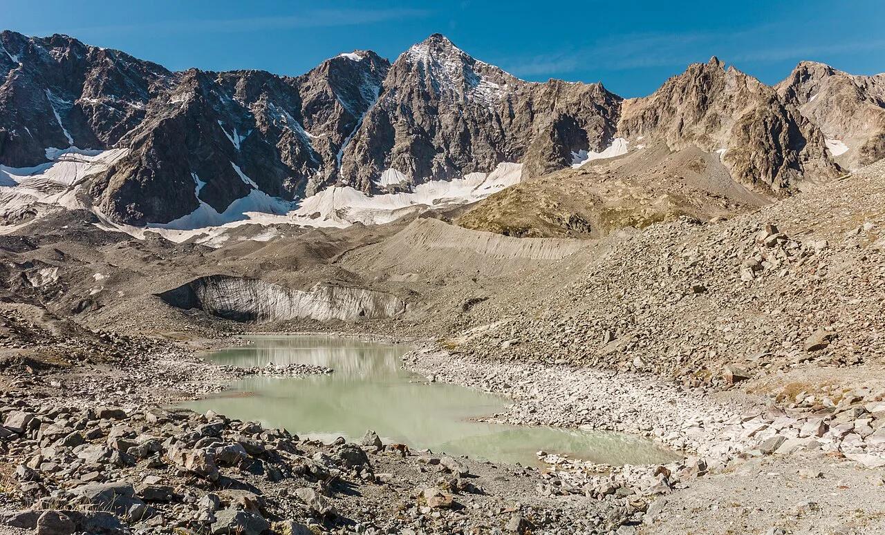
Last updated November 2026. Ecrins National Park (Parc national des Écrins) is a high-alpine park spanning Isère and Hautes-Alpes in the French Alps. It suits hikers, climbers and glacier-watchers, and the main decision is which valley to base yourself in. Our guide covers the gateways, the seasons and the car question, and it sits within our overview of France's national parks.
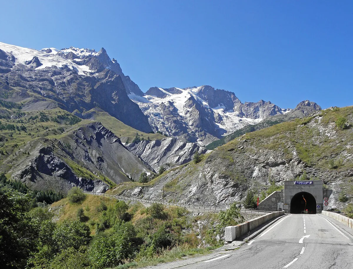
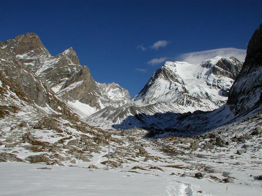
Featured image: Dominicus Johannes Bergsma, CC BY-SA 4.0, via Wikimedia Commons.
Ecrins National Park at a Glance
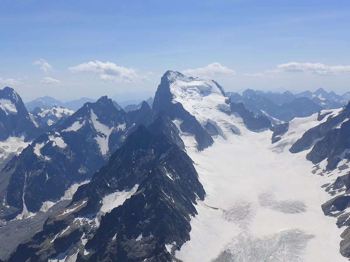
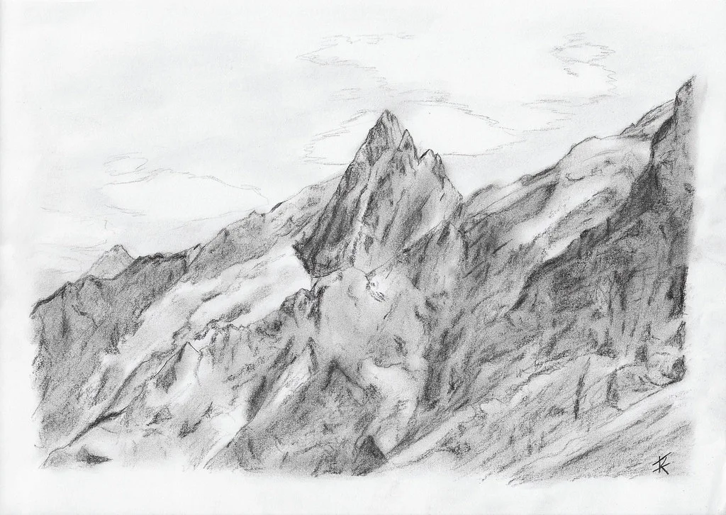
Écrins is a mountain park, not a single sightseeing stop. Its glaciers and high peaks, including the Barre des Écrins massif, are reached from several separate valleys. Each valley has its own character, so you pick a side rather than "do the park" in one go. The official park site is the source for zones, rules and seasonal notices.
- Where: Isère and Hautes-Alpes departments, French Alps.
- Best for: hiking, mountaineering, glacier views and alpine scenery.
- Rail gateways: Grenoble and Briançon.
- Car verdict: a car makes the trip far easier, but Briançon and Bourg-d'Oisans work as bases for travelers relying on buses and taxis.
Choosing Your Base: Which Valley Fits You
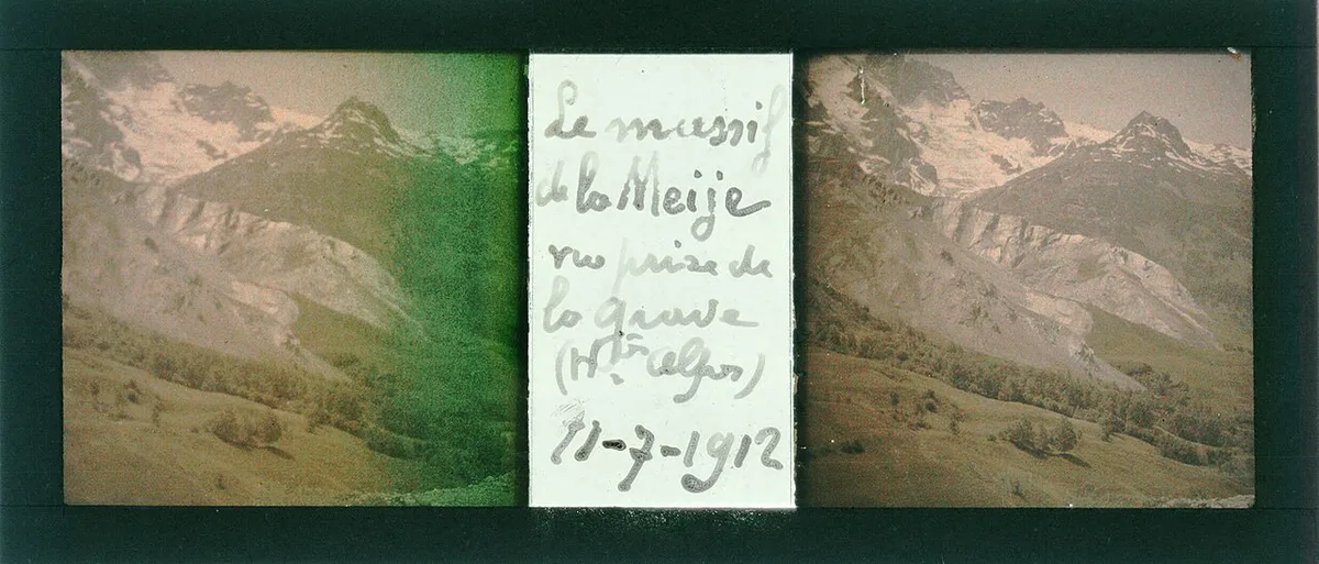
Five gateway towns cover most visits. Match the town to your trip style before booking anything. Mountain valleys are long, and driving between them takes real time.
Even a 1-day visit works best around one valley, since mountain roads slow every transfer across the massif.
| Base | Best for | Access | Trade-off |
|---|---|---|---|
| Briançon | Non-drivers, town stays, Hautes-Alpes side | Rail link from the Briançon station | Park trailheads still need a bus, taxi or car |
| Bourg-d'Oisans | Hikers and climbers on the Isère side | Road access from Grenoble | Mountain roads; plan transfers ahead |
| La Grave | Alpine views and mountaineering | Road access along the valley | Small village with limited services |
| Vallouise | Quiet valley hiking and high-mountain trailheads | Road access; a car helps | Few services after the season ends |
| Gap | Southern gateway and overnight stops | Road and regional links | Farthest from the high glaciers |
Best Things to Do in Écrins
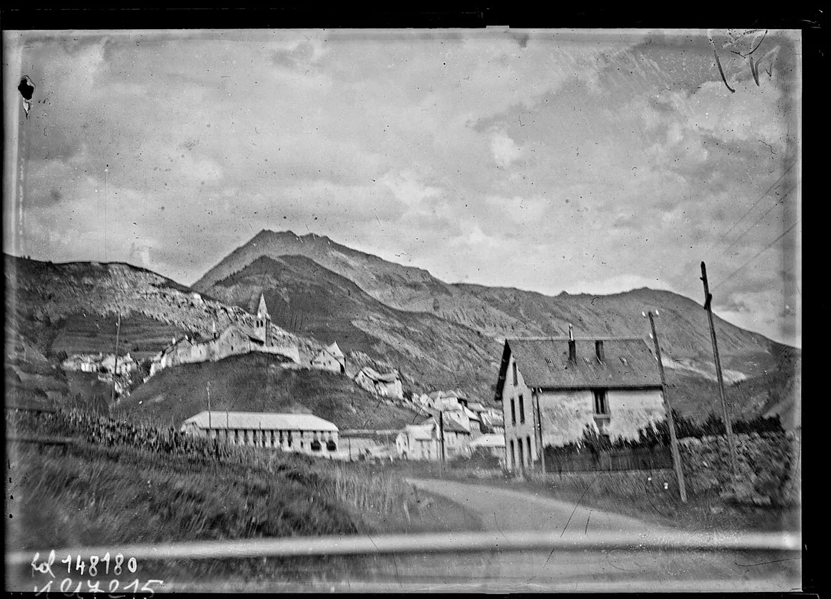
Match the route to your fitness and the weather window. Alpine terrain changes quickly, so start with the easier option if you are unsure. Use the park authority's route and trail-status pages for current names and conditions.
- Easy: valley walks near Bourg-d'Oisans, Vallouise and Briançon, with little elevation gain.
- Half-day: hikes to viewpoints facing the glaciers, chosen from the park's trail guides.
- Multi-day or high-altitude: hut-based routes and glacier terrain. These need mountain experience, correct gear and a guide for glacier travel.
- Rest day: Briançon's old town works as a low-effort alternative when cloud sits on the peaks.
When to Go: Season-by-Season Trade-Offs
Summer is the main hiking season. Most trails, mountain huts and high roads operate to seasonal calendars, so dates shift from year to year. Shoulder season brings quieter trails but more closed huts and services. Winter turns the park into ski and snow terrain, and avalanche risk governs where you can go. Check the current mountain forecast and the park's notices before you set out.
Getting There and Getting Around
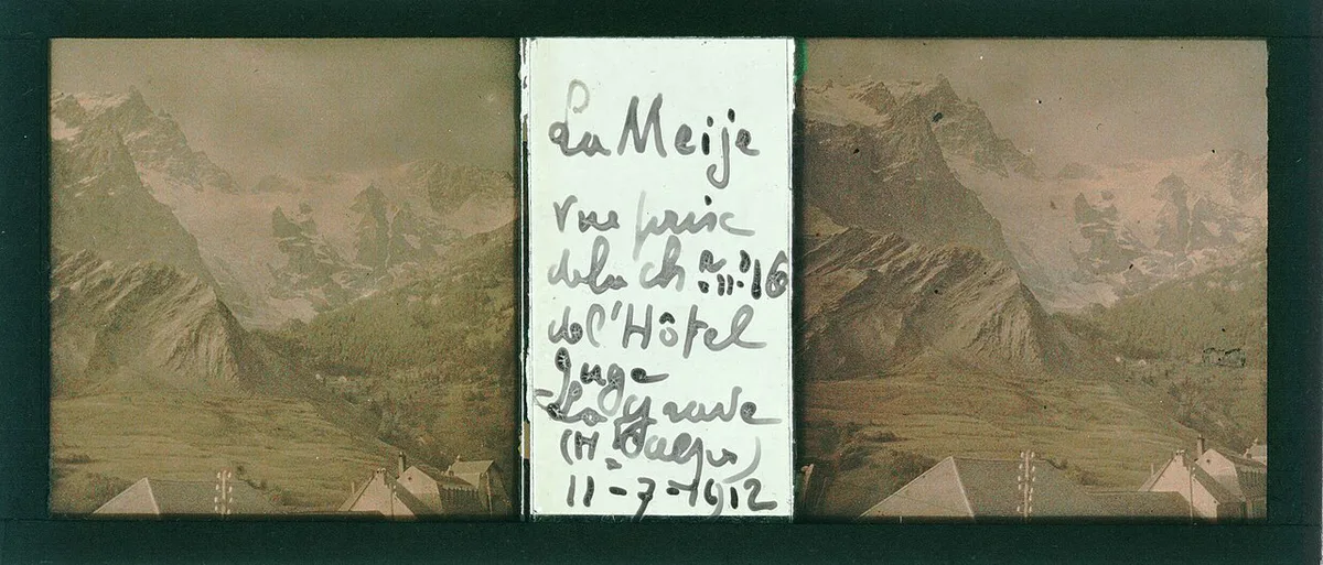
Trains run to Grenoble and Briançon, which makes them the practical entry points. From there, regional buses and taxis reach the valley bases. Daily trips from the station towns are possible but limited, so a car adds real flexibility. With a car you can combine two valleys in one trip, but allow generous driving time on mountain roads.
Costs, Rules and Booking
The park authority publishes the current rules on camping, bivouac, dogs and drones in the core zone. Check the Écrins park site for entry and booking details, and reserve hut beds as early as the official booking pages allow.
Where to Stay
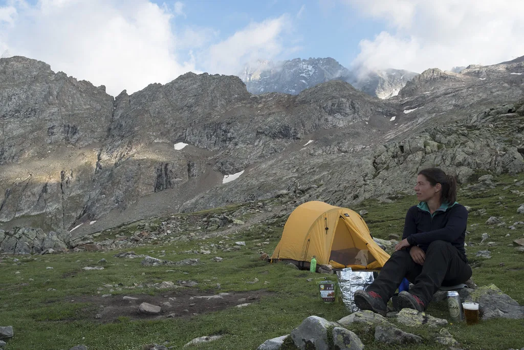
You can stay in a valley town, a mountain hut or a campsite. Towns such as Briançon and Bourg-d'Oisans offer the widest choice of hotels and apartments. Huts suit multi-day routes, but you need a reservation and must confirm that the hut is staffed on your dates. Campsites sit in the valleys, and the park's rules decide where you may camp near the core zone.
Common Mistakes and Who Should Skip It
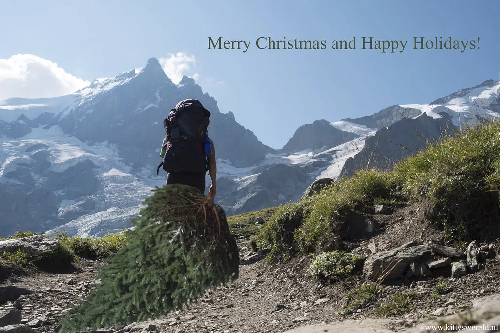
Many visitors underestimate altitude and fast-changing mountain weather. Others assume huts are open or bookable at short notice. Trying to see the whole park in one day does not work, because the valleys are separate. Skip Écrins if you want a drive-up viewpoint circuit with minimal walking. Choose a gentler option from our ranking of French national parks instead.
How Écrins Compares With Other French National Parks
For another high-alpine park, look at Vanoise National Park: Planning Guide, Best Season and Bases. Readers who want a southern Alps option can read about Mercantour National Park Guide: Valleys, Hikes & Access. Its rock-art valley is covered in our Vallée des Merveilles guide. For a different mountain character, see the Pyrenees National Park Guide: Valleys, Hikes & Where to Stay or the Cévennes National Park. The national network is described on Parcs nationaux de France.
How Long to Spend in Écrins
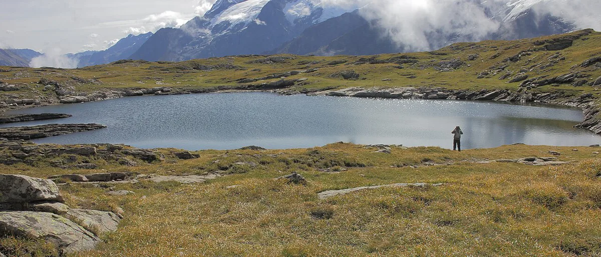
Plan Écrins valley by valley rather than trying to cover the whole park. The article’s 5 gateway towns serve different sides of the massif, and travel between valleys takes time on mountain roads. Choose a single base first, then select walks, viewpoints or hut routes from that side.
A 1-day visit can work for a valley walk, a glacier-view outing or time in Briançon’s old town. It is not enough to understand the park’s separate valleys. Travelers with more time can keep the same base and build in a weather-flexible day, since cloud, snow and changing mountain conditions can alter hiking plans.
Briançon and Bourg-d’Oisans are practical choices for travelers arriving by rail. Vallouise and La Grave suit visitors prioritising quieter mountain access or alpine scenery. Check trail status, forecasts and hut opening information before committing to a high route.
Notes for your next park visit
Optional updates to our national park guides.
Read next

Keep planning
Picked from the same area